| Report Type | Full |
| Peak(s) |
San Luis Peak - 14,023 feet Mt. Belford - 14,202 feet Mt. Shavano - 14,230 feet |
| Date Posted | 12/30/2016 |
| Date Climbed | 07/28/2016 |
| Author | rpdawes |
| Night Sleep in the Wilderness after Three Summits |
|---|
|
Before I resumed summer ascents on 14ers, I updated my own criteria: 1) I must have a perfect or almost-perfect weather for two straight days. 2) I need at least 12 hours of available daylight. 3) I'd better leave a trailhead between 4 and 6 o'clock in the morning and reach a summit before 6 PM. 4) If a round trip distance exceeds 9 miles and/or an altitude gain is more than 4,000 feet, be prepared to spend a night sleeping in any place just below a treeline. San Luis Peak Summit:14,014 feet Route: South Ridge from West Willow Creek Total Gain: 3,700 feet RT Length: 11.0 miles Date: July 28, 2016 Partner: Solo Number of successful 14er summits: 13 After a successful summit of Mt. Yale a few weeks ago, I modified my own criteria for climbing more 14ers by preparing to sleep in the woods or willows if necessary. After contemplating several mountains with a class 2 trail only, I eventually decided upon San Luis Peak since I had intended to drive more than 250 miles once a year. After I was done with weather forecasts which indicated a very favorable weather, I departed my home heading to Creede on July 27th and made it to West Willow Creek upper trailhead about 11 miles north of Creede, a historic mining town. The mountain is rather remote with a few 13ers around and the next 14er mountain is 27 miles away. I selected West Willow Creek Trailhead since the rough dirt road is about 1.7 miles off Equity Mine Road at a fork with a mining facility nearby (see Photo #1). My reliable Jeep handled that rough road very well. (See Photos #2 and #3) A doe welcomed me at the trailhead, but no flies and mosquitoes were there to pest me at all. After spending a night in my Jeep, I started my journey to the summit at 6:00 AM and got on the famous Colorado Trail. I hiked up and down about 3.5 miles along that trail to the 12,600 feet saddle connecting San Luis Peak and Point 13155. After hiking up on the south ridge and scrambling on the rocky field with an aid of several cairns, I finally got on the summit at 3:45 PM. The trip was rather uneventful all the way, but the scenic view was very spectacular. The weather was really nice, sunny and warm with light winds all day. Upon leaving the summit at 4:15 PM, I met a hiker who was climbing from the Stewart Creek Trailhead on the northeast ridge and disappearing on the south ridge for a loop. As the sun was down and I was descending below the timberline, I saw some young hikers already pitching their tents and busy cooking some food deep in the woods. At about 12,000 feet, I turned south breaking off the Colorado Trail at the first glimpse of a wood post which I previously tied an orange tape around. (See Photo #6) About 1 mile remaining before I could return to my car, I decided to stop my hike somewhere in the willows because I did not trust my eyes while walking down on loose soil/stones in some spots on the trail wearing a headlight. After spending a night without a sleeping bag since it was not so cold, I woke up and resumed my hike to the trailhead at 6:15 AM. My trip was completed at 7 AM. Using my smartphone, I roughly followed a previous GPS track downloaded from another trip report. 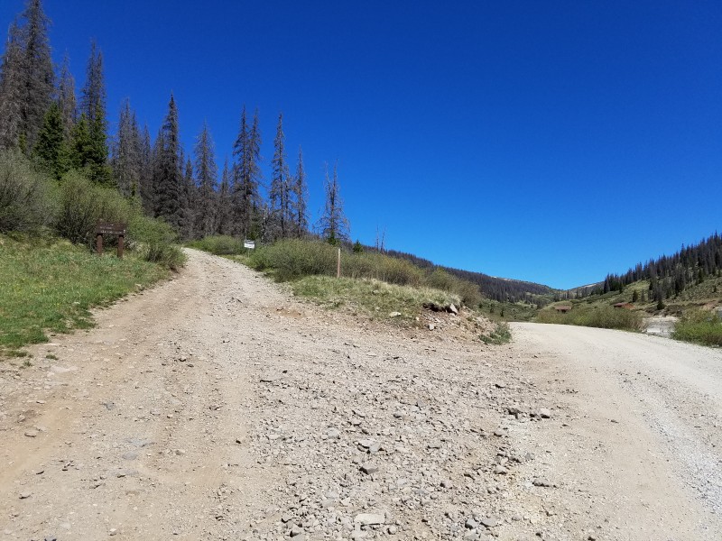 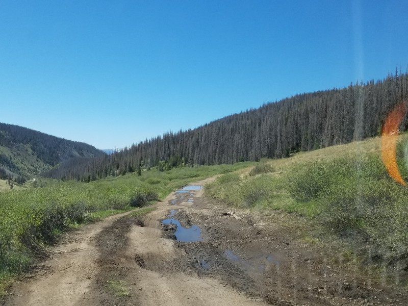  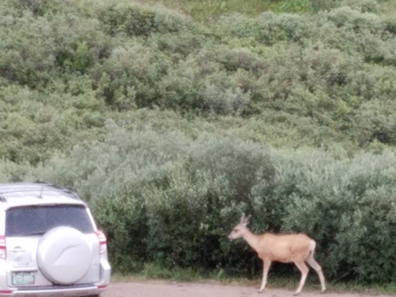 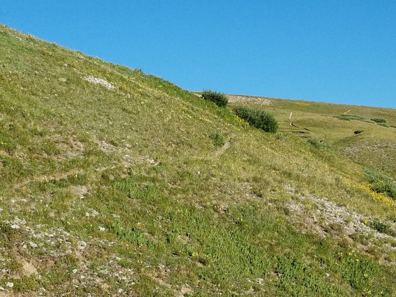   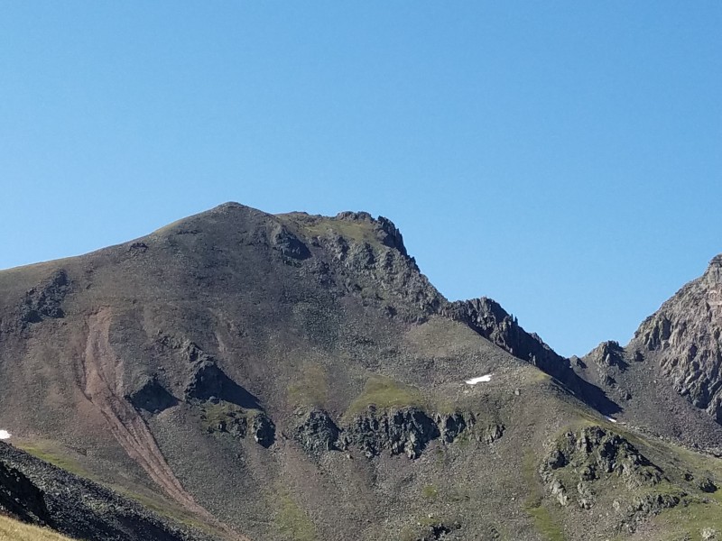  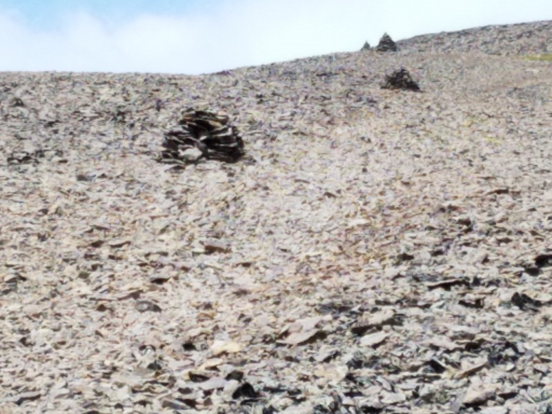 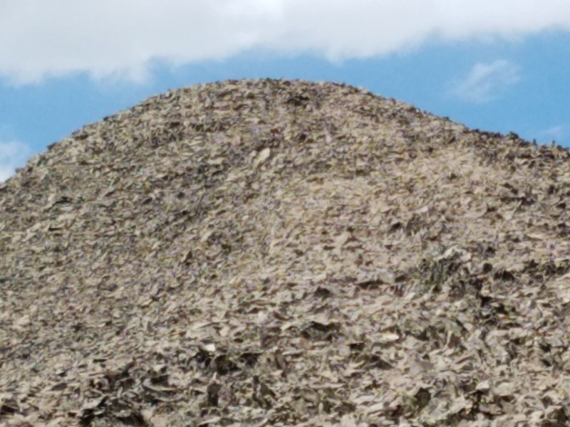    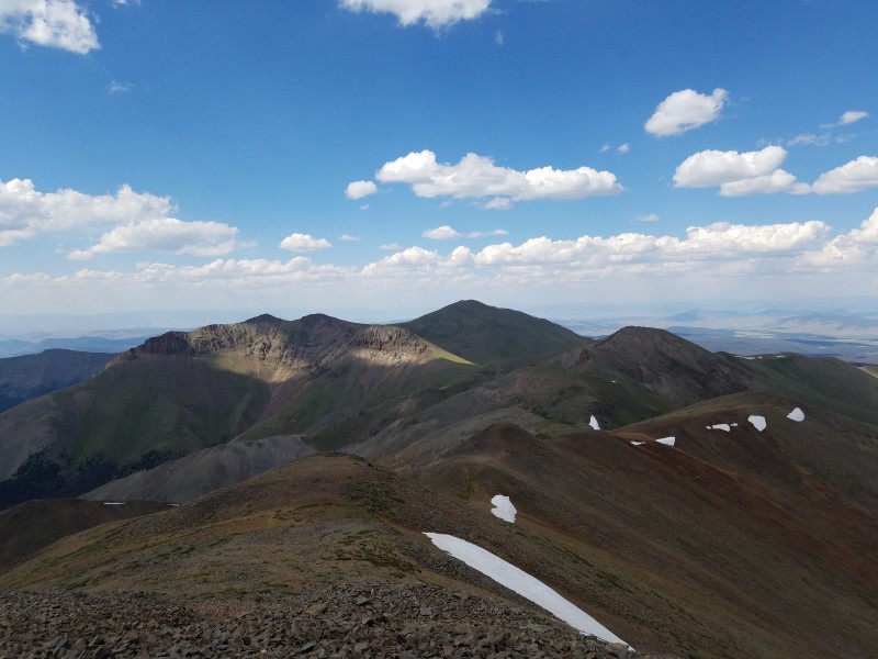  Mount Belford Summit:14,197 feet Route: Elkhead Pass Total Gain: 4,500 feet RT Length: 12.8 miles Date: September 8, 2016 Partner: Solo Number of successful 14er summits: 14 After I was done with San Luis Peak, I tried so hard to find a favorable weather condition for any day of August to meet my criteria, but I failed. As you know, August is one of the worst months for climbing because an afternoon storm usually takes place. It may pose no problem to young hikers, but not so with the elderly like myself. September finally came up which means many days of pleasant and cool weather. After arriving at the Missouri Gulch Trailhead in the evening of September 8th, I spent a night in my vehicle. After a good night's sleep, I got up and started my hike to Mt. Belford at 7:17 AM which was a little late. Once past a log cabin located just below the tree line at 9:30 AM, I continued my hike toward the Elkhead Pass since I decided against the standard route due to high steepness which could mean extra pressure on my lungs during an ascent and also on my knees during a descent. After passing the first direction post, I spent a few hours walking until I met another sign post at 12:50 PM giving me two directions, left to Elkhead Pass and right to Missouri Mountain. With my aim firmly set on Mt. Belford, I turned left and continued walking up to the Elkhead Pass. Once I set my feet on the pass at 3:50 PM, I was on my final leg to Mt. Belford. After reaching a ridge at 6 PM, I walked up a short distance to the front of a short cliff where I had to climb about 20 feet up to the summit. I was on top of the peak at 6:35 PM and found the summit terrain a lot different than those of all the other 14ers I have bagged to date. The terrain was rather yellowish brown and rocky, no comfy place to sit on. After spending 20 minutes at the top, I resumed my hike down to the Elkhead Pass. I was thinking about getting on Mt. Oxford as well, but decided against it due to lack of daylight time. After my descent to 12,000 feet point, I suspended my hike and slept in my sleeping bag somewhere in the willows. I was glad that I brought the bag along for the first time ever since I knew that the night would be breezy and cold. After waking up from a good night's sleep, I resumed my hike at 7:18 AM and finally arrived at the trailhead at 10:24 AM. The trip is the longest one I have ever made. The round trip distance was 12.8 miles according to my GPS tracker. See my GPS map posted below. After spending 27 hours in the wilderness, I saw no wildlife around even though several adventuresome souls passed me both ways. There were several creeks to cross and I drew some water from one of those creeks using my bottle with a filter inside. So I experienced no water shortage.  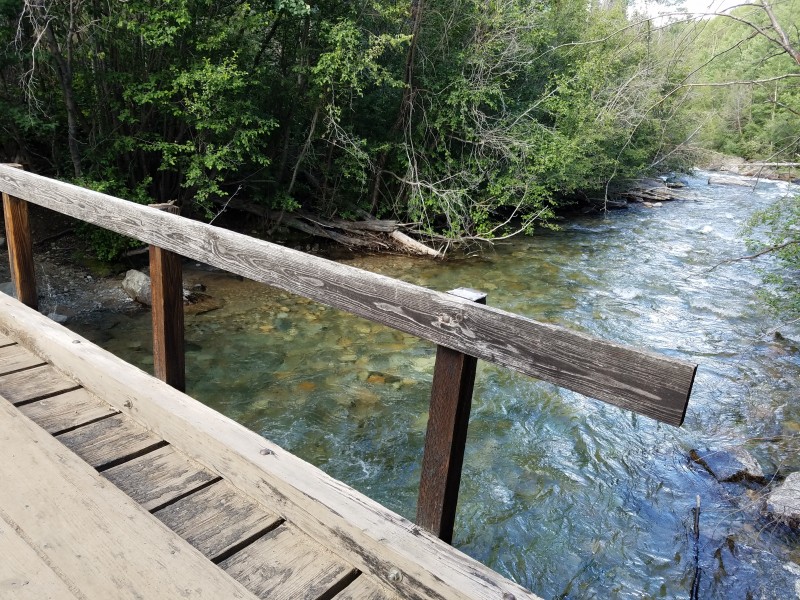  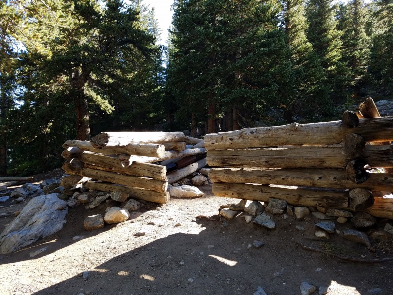 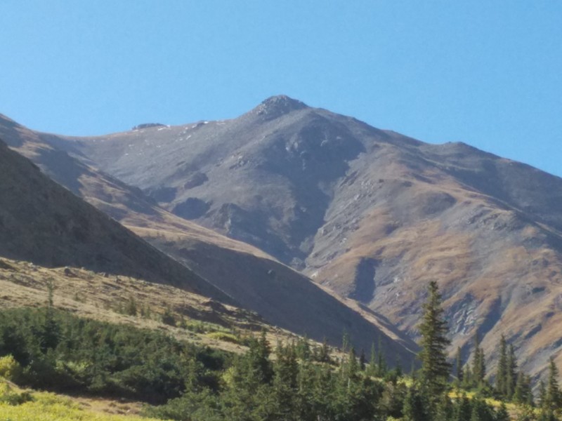 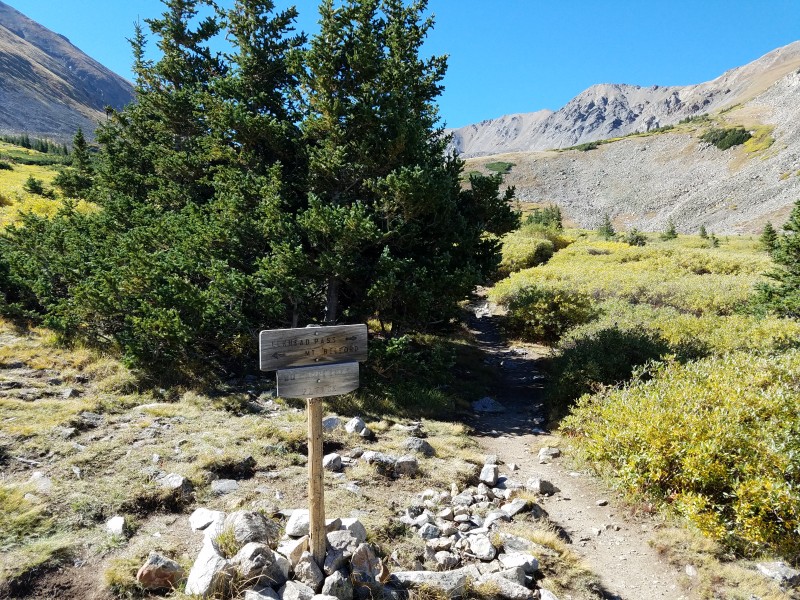  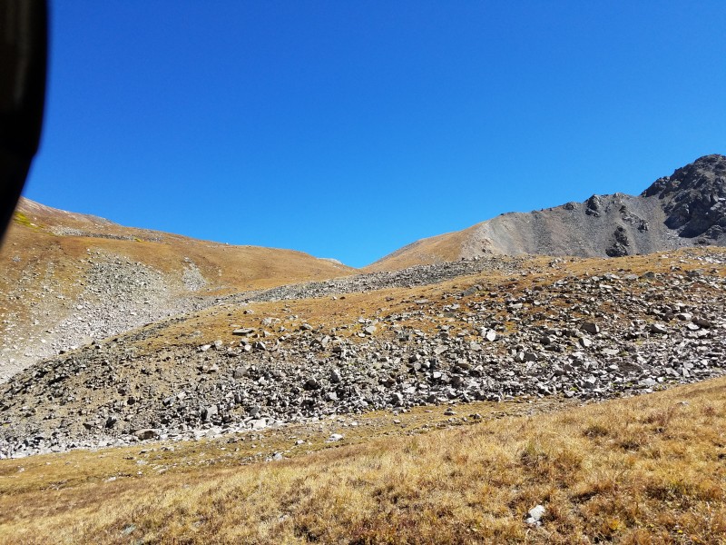 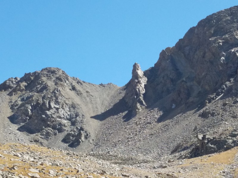 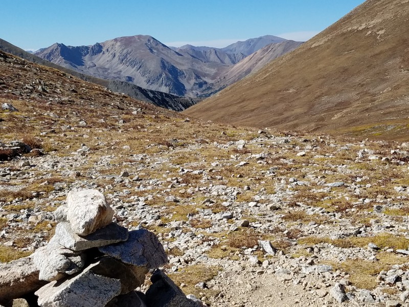  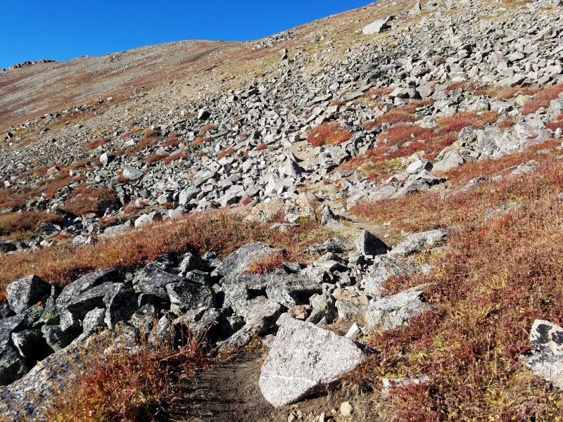  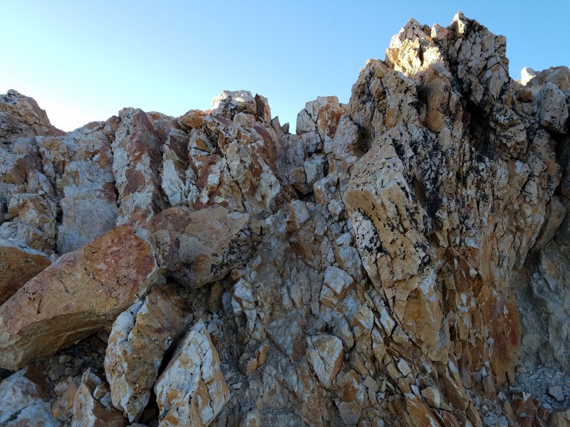 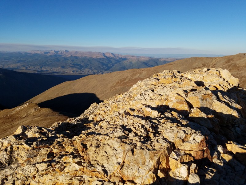  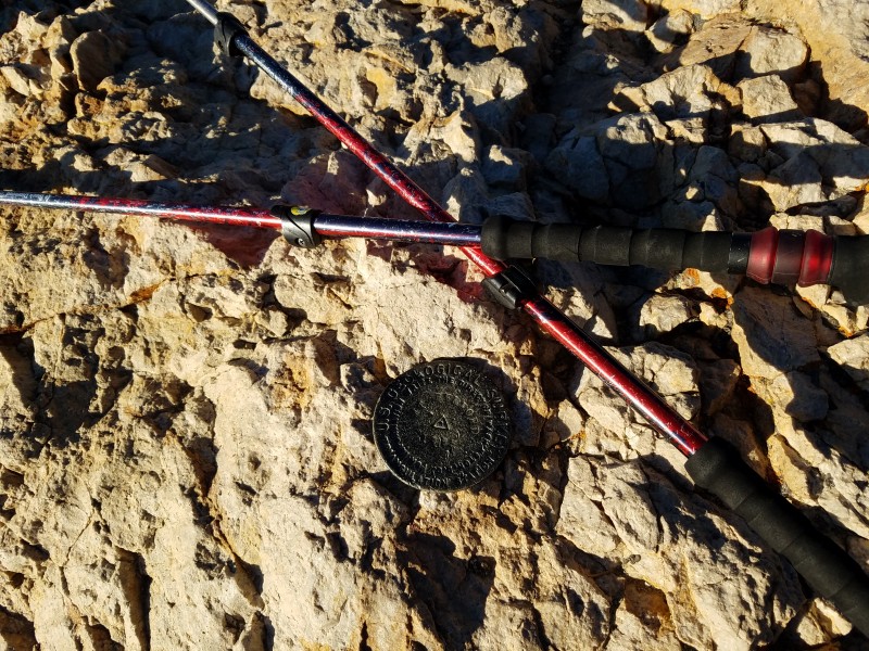  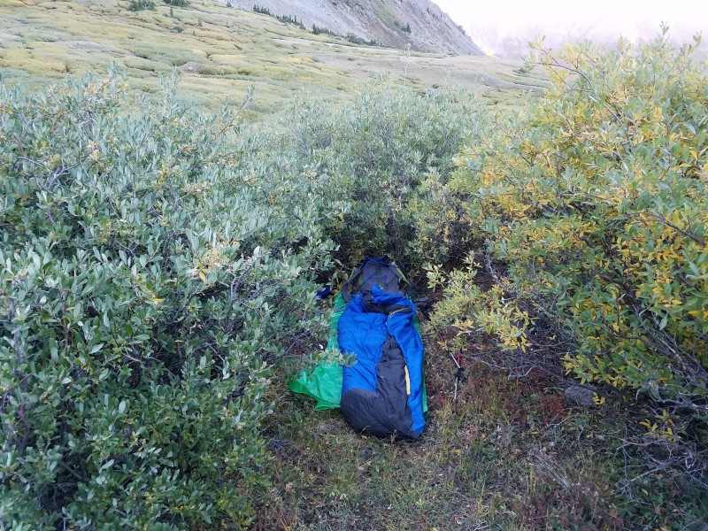 Mt. Shavano Summit:14,229 feet Route: East Slopes Total Gain: 4,600 feet RT Length: 9.25 miles Date: September 19, 2016 Partner: Solo Number of successful 14er summits: 15 During a 11-day rest, I was considering a few 14ers remaining available for my lengthy and strenuous trek. Mt. Shavano was picked over Humboldt Peak, Mt. Princeton and Mt. Massive. In the morning of September 18th, I hit the road heading to the Mt. Shavano Trailhead. After spending a night in my car, I started my hike at 6:40 AM. After one mile distance, the trail became rather rocky, much different from the other trails leading to three previous summits of other 14ers. Before the tree line, I decided to lighten my backpack load by jettisoning my sleeping bag. After putting the bag in the split of the tree stem, I continued my hike on a very long straight trail on the east slope to reach a saddle connecting Mt. Shavano and "Esprit Peak". Once on the saddle at 2:40 PM, I took a break to refresh myself. Then I resumed a straight trail to Mt. Shavano. Approaching the base of the summit, the trail became very faint due to a lot of rocks. So I had to scramble and rock hop all the way to the top. Like Mt. Belford, there was no place to sit down after a successful summit at 6:13 PM. A traverse hike to Tabeguanche Peak was never on my mind due to lack of daylight time. Maybe some day I will try it from the Jennings Creek Trailhead. After spending a short time on the top, I had to descend in a hurry back to the saddle before the sunset took place since I did not want to risk a fall while scrambling down in the dark. Once I returned to the saddle, I took a long break drinking and eating while watching the sun going down. I resumed my hike back to the tree line in total darkness with a headlight on. The trail was really safe as no loose soil or stones on the trail all the way to the timberline. Finally past the timberline, I became very tired and slept one hour under some trees. Then I woke up and continued my hike to a place where I previously hid my sleeping bag. Once again, I became tired and found a very good bedding place at 12:25 AM. I slept all night without the bag. Luckily, the night was not cold and I wore an emergency bivy blanket. After I arose at 6:45 AM, I noticed several orange tapes hanging from the tree branches located about 150 feet away. The tapes were waving wildly due to a morning breeze. Oh boy, how close I missed my sleeping bag. Then I resumed my hike to that place and picked up the bag on the way down to the trailhead. I finally saw my beloved Jeep again at 10:55 AM. After a brief nap, I drove back home. Thanks to my snail-like pace, I spent 28.25 hours hiking, climbing to the summit and sleeping in the wilderness. Nevertheless, I really enjoyed every minute of my peaceful and quiet time. Be forewarned: Bring a lot of water along! During my hike, the creek alongside the trail was dry all the way. 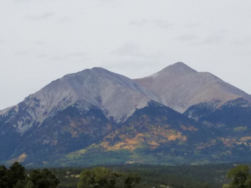 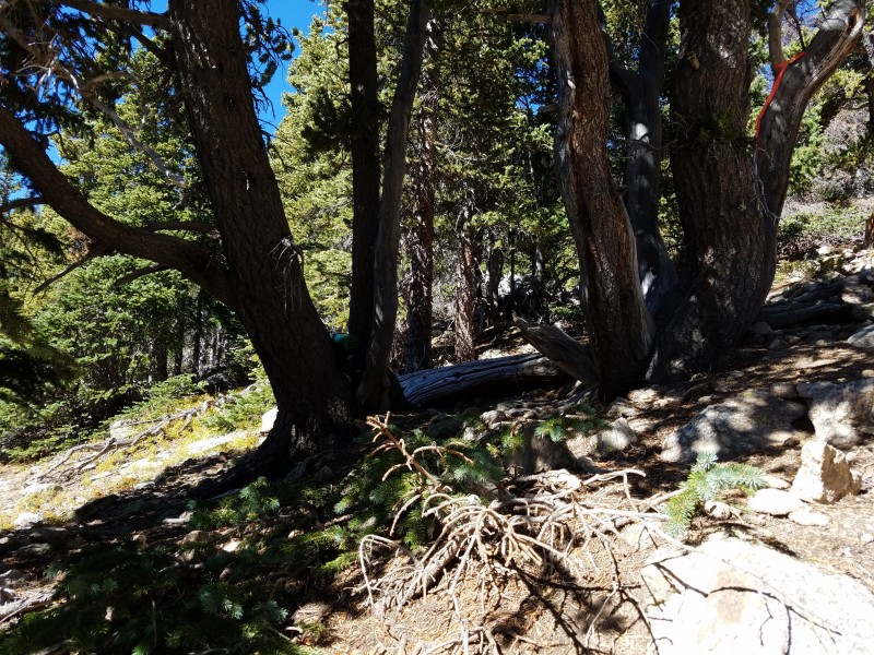 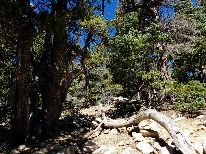  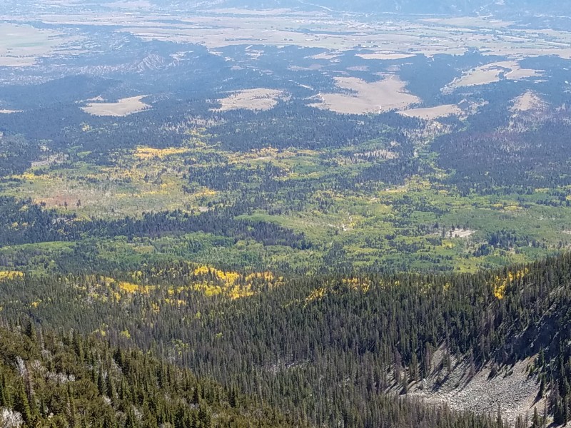 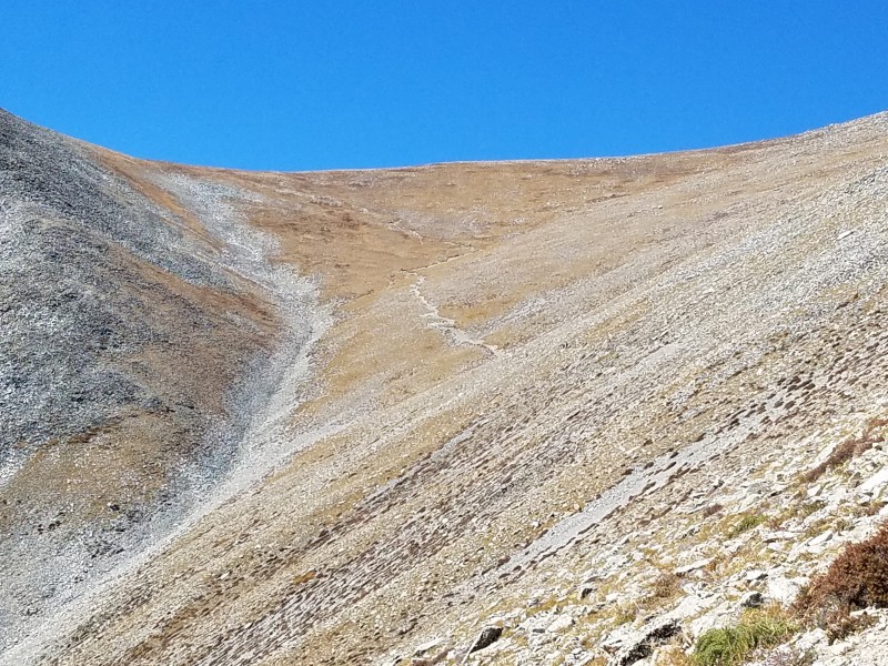 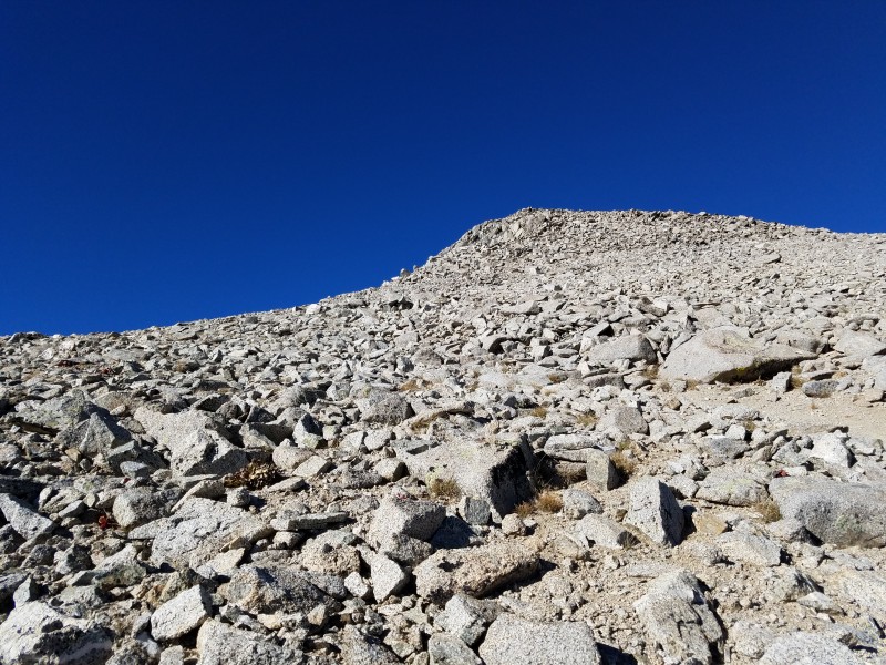 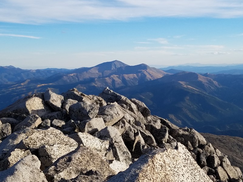 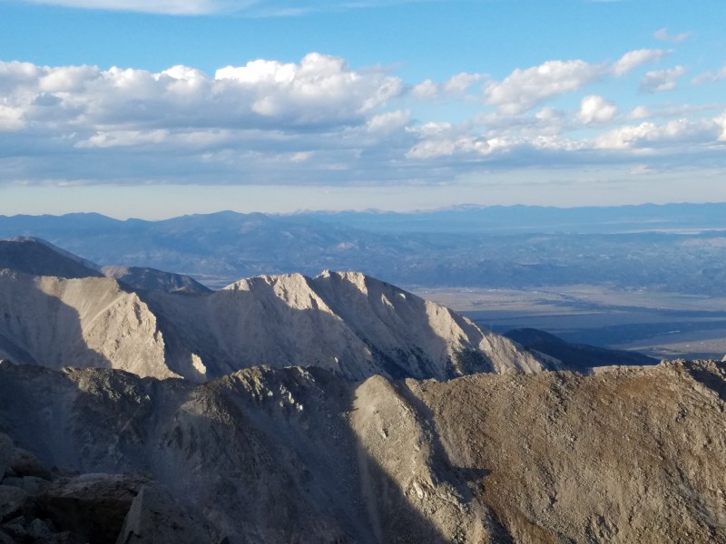 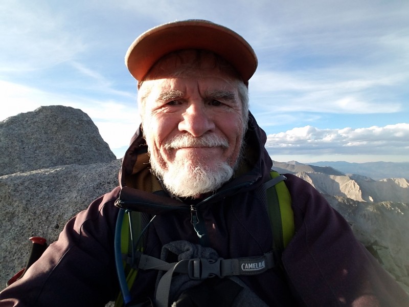   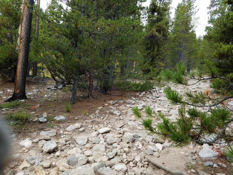 The map below shows my track recorded from the Missouri Gulch Trailhead to Mt. Belford via Elkhead Pass. Thumbnails for uploaded photos (click to open slideshow):  Going left to the upper trailhead")
 Rough spot")
 Another rough spot")
 Doe busy looking around for some food at the upper trailhead.")
 Colorado Trail going west to San Luis Pass.")
 Put a tape on a marker post reserved for a night hike so I could know where to get off the Colorado Trail.")
 San Luis Peak still far away.")
")
 Going up to the summit")
 Several cairns guiding me to the summit")
 A final pitch to the summit")
 A USGS elevation marker")
 Selfie")
 Hiking back down the south ridge from the summit.")
 Looking down at the Northeast Ridge heading to Stewart Creek Trailhead")
 I slept somewhere in the willows about one mile from the trailhead")
 Missouri Gulch Trailhead")
 Crossing the Clear Creek")
 Another creek crossing. See a small cairn mounted atop a dead tree stump.")
 A full log cabin once existed. Don't know who built it.")
 Northwest Ridge leading to Mt. Belford (Standard Route)")
 Going right to Elkhead Pass")
 Going left to Elkhead Pass. Missouri Mountain in background")
 Elkhead Pass appearing")
")
 Cairn Atop Elkhead Pass")
 What's that?")
 Mt. Belford appearing at left")
 A final pitch to the summit")
 Climbing up about 20 feet to the top")
 At the summit")
 Selfie with Mt. Oxford in background")
 The USGS elevationn marker and my poles")
 Looking south at some 14ers")
 That's where I spent a night in a sleeping bag")
")
 That's where I left my sleeping bag at a tree.")
 Notice a few orange tapes tied around some twigs showing where I ought tp spend a night after Mt. Shavano summit")
 Leaving the timberline")
 Day view of Maysville")
 Trail to a saddle connecting")
 Mt. Shavano appearing")
 At top of Mt. Shavano")
")
 Selfie")
 Sunset viewed from the saddle")
 Night view of Maysville")
 Trail back to the trailhead")
|
| Comments or Questions | |||||||||
|---|---|---|---|---|---|---|---|---|---|
|
Caution: The information contained in this report may not be accurate and should not be the only resource used in preparation for your climb. Failure to have the necessary experience, physical conditioning, supplies or equipment can result in injury or death. 14ers.com and the author(s) of this report provide no warranties, either express or implied, that the information provided is accurate or reliable. By using the information provided, you agree to indemnify and hold harmless 14ers.com and the report author(s) with respect to any claims and demands against them, including any attorney fees and expenses. Please read the 14ers.com Safety and Disclaimer pages for more information.
Please respect private property: 14ers.com supports the rights of private landowners to determine how and by whom their land will be used. In Colorado, it is your responsibility to determine if land is private and to obtain the appropriate permission before entering the property.


