|
Date: 11 Nov 16
Climbed:
- Boulder Mountain, 13,528', Colorado #236 (ranked 13er)
- Mount Mamma, 13,646', Colorado #173 (ranked bicentennial)
Area: Baldwin Creek drainage west of Mt Antero in the Sawatch Range
Trailhead: Chaffee County 277 (0.25 mile up at the start of an ice slick)
Route: 277 > FR 279 > Boulder > ridge > Mamma > Baldwin Creek drainage
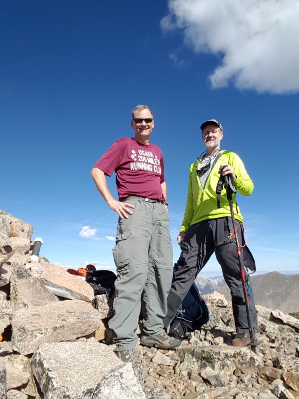
Climbers: Britt and Hoot
Stats: 12.5 miles, 8 hours and 40 minutes, about 4700 feet elevation gain
Of note: A gorgeous warm nearly snow-free day in mid-November
This was my first high peak climb since August (the Pikes Peak Ascent) so I was overdue for a mountain fix. Boulder and Mamma on a gorgeous November day did the trick.
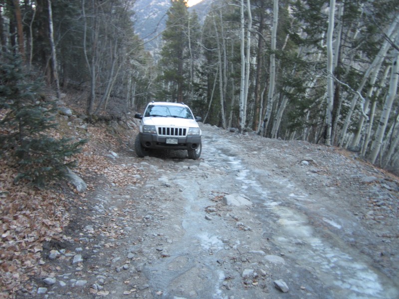
Plan A for the day was bicentennial Mount White, just south of 14er Mount Antero. Britt and I had planned to drive high above Baldwin Gulch toward Mount Antero and then hike southeast to get Mount White. We knew there was minimal snow in the area which is unusual for this time of year. However, Britt also remembered that an ice slick forms on Chafee Co 277 not far above its start on Chalk Creek Drive. If we couldn't drive up 277, Plan B was to go for Mamma, tagging Boulder along the way.
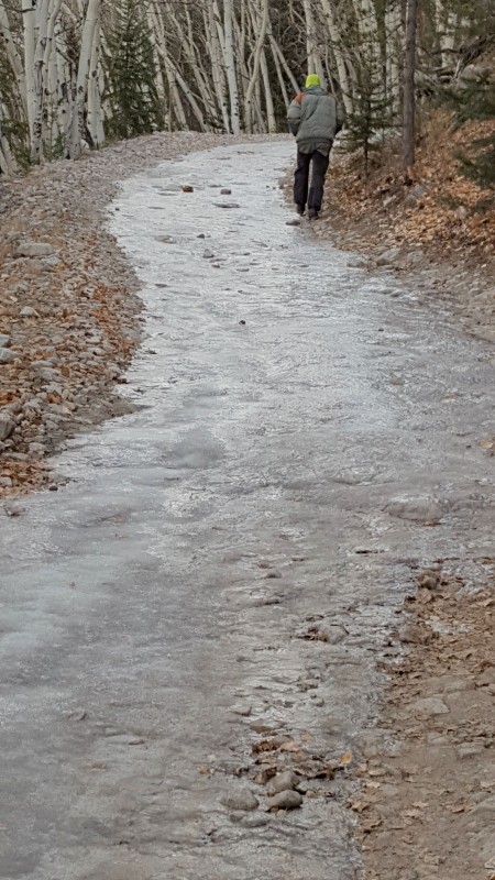
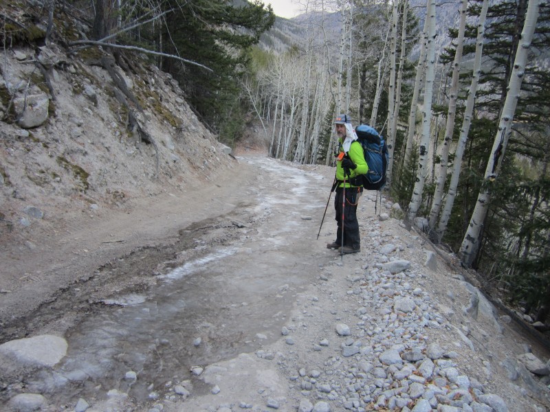
We left north Colorado Springs at 4:30 am and started up 277 around 7 am. The unusually warm weather over the past few weeks gave us hope that the ice slick would not yet have formed. However, we quickly came to the ice slick and determined that even with light chains on Britt's 4WD, attempting to climb (and later descend) the ice slick was a bad idea. With sufficient traction, a vehicle could get up the icy section, but in places, all four wheels will be on angled ice. The water for the ice comes from a small spring trickle about 50 yards up the steep 4WD road. We were both surprised that no one had dug a small trench across the road or placed a drainage pipe under 277 to remedy this problem. Above this ice slick, there were several smaller, but still problematic, ice slicks. So we decided to go with Plan B - Mamma.
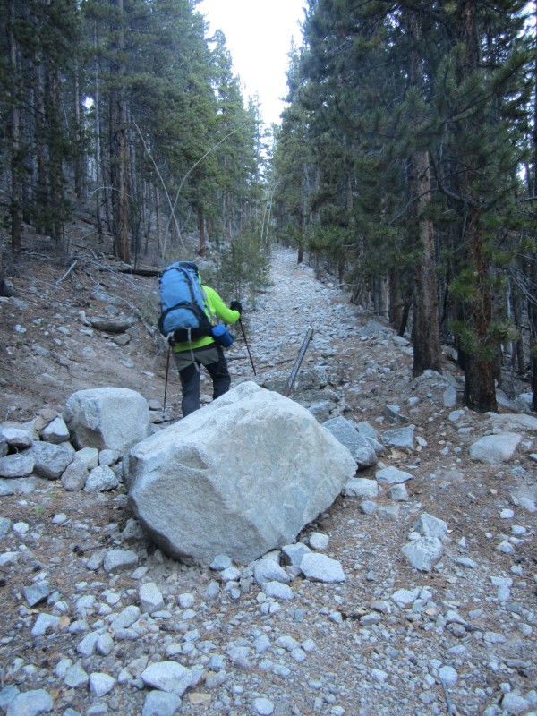
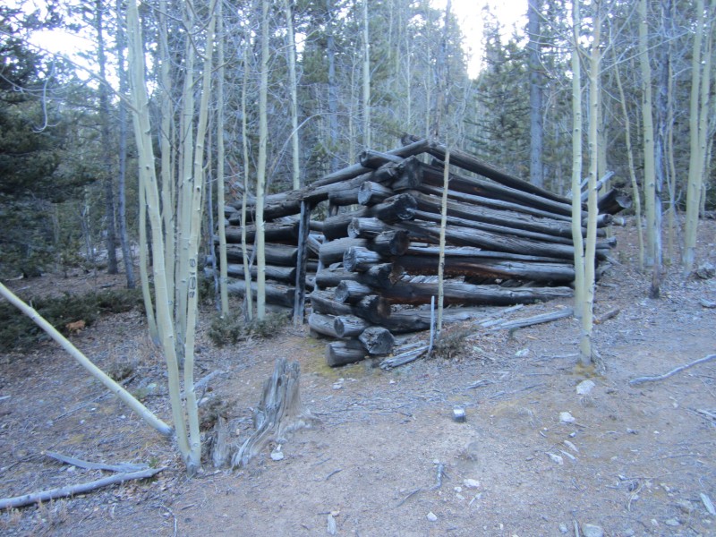
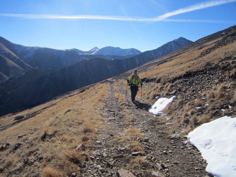
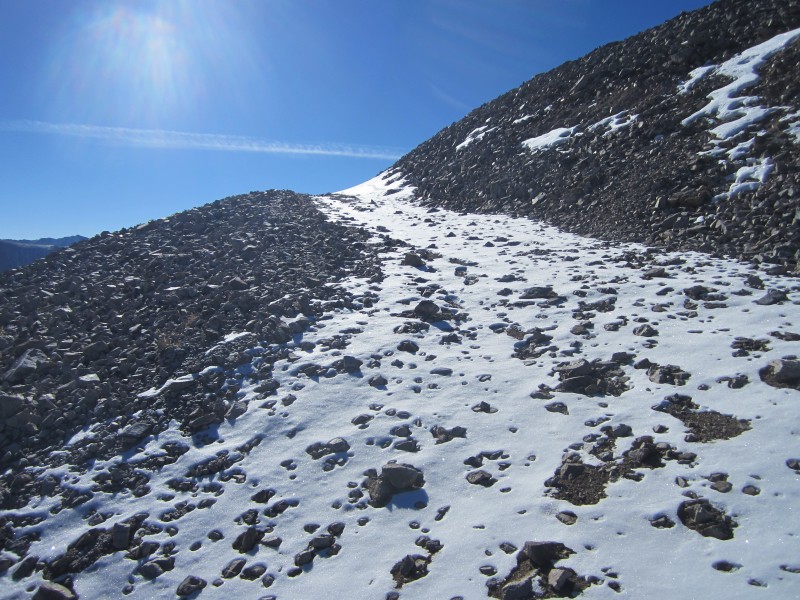
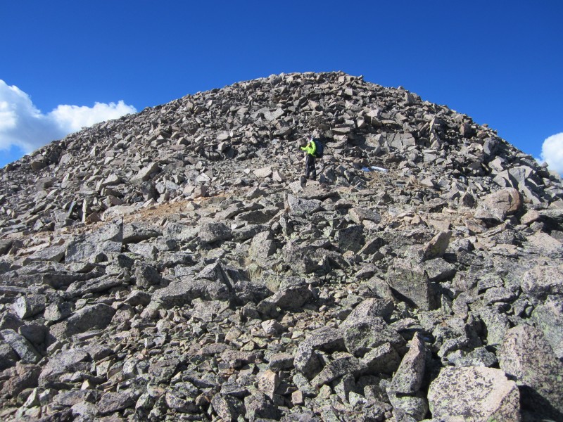
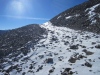
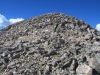
We started hiking up 277 at 7:20 am from about 9600', one quarter of a mile above Chalk Creek Road (Chaffee County 162). About 0.9 miles up 277 (1.2 mi from 162), we turned right on a blocked off Jeep trail only a few hundred feet past an unblocked Jeep trail. Both of these turns lead to FR 279 which leads up to an abandoned mine just north of Boulder Mountain's summit. We cut a couple of the switchbacks along 279 to shorten our route up Boulder Mountain by a little over mile. The 4WD road ends at an abandoned mine at 12,890'. A high clearance 4WD could drive all the way up to the mine if not for a large tree fallen across the road on this day. From the mine we traversed the slopes east of Boulder's north ridge to the summit of Boulder Mountain. We reached the summit at 10:42 am, 3 hours and 22 minutes after starting out from the car. While there had been a dusting of snow on a few shady sections of the road, the summit of Boulder was snow-free, warm, and windless. Britt and I spent 12 minutes on Boulder before starting the traverse to Mamma.
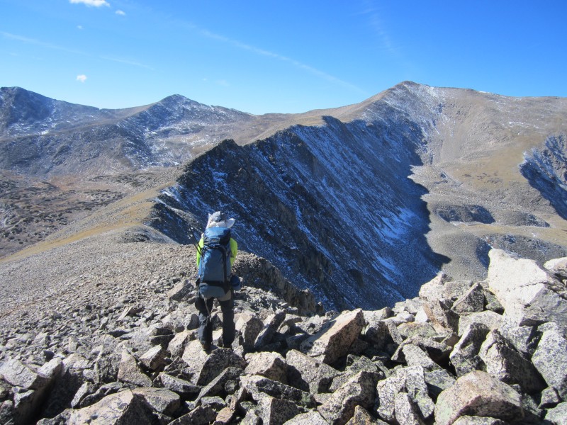
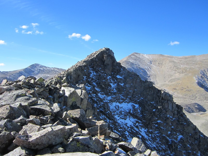
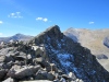
From the summit of Boulder, the 1.75 mile ridge to Mamma looked longer than I had envisioned. For the most part, we traversed along the snow-free crest of the ridge. While we used our hands in one or two short sections, the ridge is Class 2 with no exposure and no significant obstacles. We descended just over 500 feet to the low point along the traverse and then climbed a little over 600 feet to Mamma's summit. The traverse took us an hour and 25 minutes.
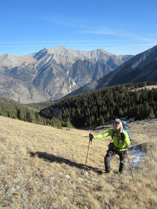
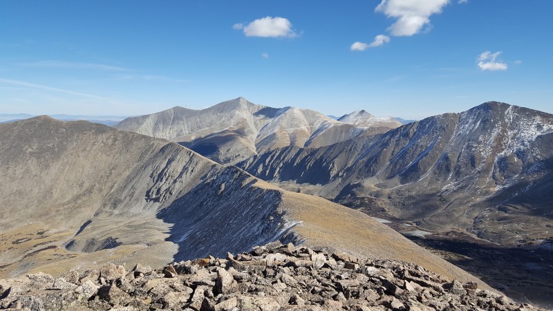
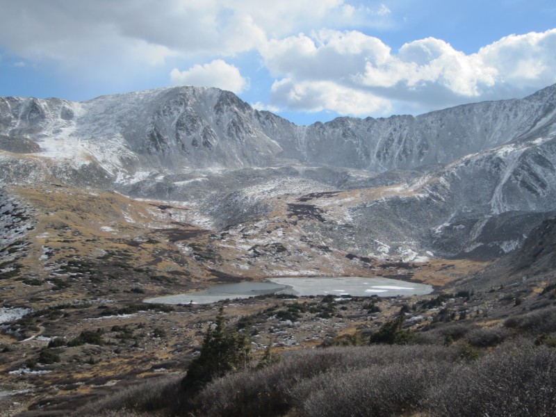
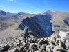
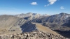
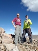
We reached the 13,646' summit of Mount Mamma at 12:17 pm. The weather was still gloriously warm and sunny with no wind. From the summit we had great views of the surrounding peaks including 14er Antero, centennial Cronin just across the Baldwin Creek drainage and bicentennial Grizzly along the ridge to our south. I climbed Cronin on snow in Feb 2010 and Grizzly just last October. On the USGS topo, the "Mount Mamma" label is adjacent to the unranked Point 13,553 which is half a mile north of Mount Mamma's true summit. A little research revealed that the name Mount Mamma refers to the entire north-south ridge of which the 13,646' summit is the highpoint. From this summit, heading north over Point 13,553 to Point 13,523 and then descending Mamma's northeast ridge would have lead us almost directly back to our car. That option was very tempting as it is 2 miles shorter than our planned return route. But since we had no beta on that route, we stuck with our original plan of descending into the Baldwin Creek Drainage and hiking back along FR 277.
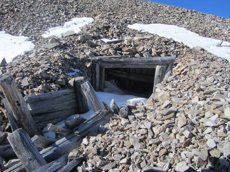
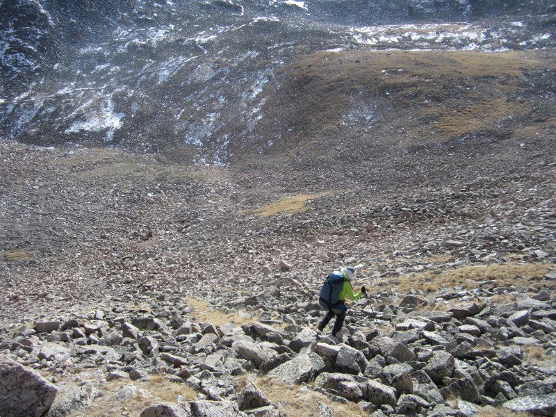
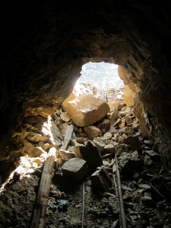
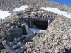
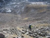
After spending 25 minutes on Mount Mamma, we started back down the way we had come but after descending about 200 feet took a fairly direct line to the old mine at 12,600 near the top of the Baldwin Creek drainage. This was a tedious 40-minute descent on large and sometimes loose talus. Heading down Mamma's south ridge and then descending east into the basin might have been more pleasant even if a bit longer. Descending on snow would have been much nicer, but that was not an option this day. We both checked out the old mine which had a surprisingly unblocked entrance. I ventured in about 25 feet before overcoming my temptation to explore further with my headlamp.
FR 277 ends at the mine. From the top of 277 we hiked a little over 5 miles in 2.5 hours with a couple of breaks back to the car. Most of 277 was in good condition for a high clearance 4WD with only a few sections requiring careful driving over and around obstacles. On our return, we found that the ice slicks had not melted much on this warm day. That further justified our decision to leave the car below them. We did see evidence of a vehicle that had made it most of the way up the first ice slick while we were hiking, but it appeared to have turned around and headed back down. I definitely would not want to be in a vehicle driving down on that ice. We got back to the car at 4 pm after 8 hours and 40 minutes of hiking 12.5 miles according to my GPS. Our net elevation gain was 4046' with a total gain around 4700'.
Mamma was my 42nd ranked Colorado bicentennial peak - lots to go. Britt and I were both in awe of the incredible weather we had for a mid-November climb of two Colorado 13ers. It was a great way to spend Veteran's Day and for me get back into swing of things with a fantastic hiking partner!
GPS Track(s) on Google Maps (made from a .GPX file upload):
View Map
Thumbnails for uploaded photos (click to open slideshow):
|