Download Agreement, Release, and Acknowledgement of Risk:
You (the person requesting this file download) fully understand mountain climbing ("Activity") involves risks and dangers of serious bodily injury, including permanent disability, paralysis, and death ("Risks") and you fully accept and assume all such risks and all responsibility for losses, costs, and damages you incur as a result of your participation in this Activity.
You acknowledge that information in the file you have chosen to download may not be accurate and may contain errors. You agree to assume all risks when using this information and agree to release and discharge 14ers.com, 14ers Inc. and the author(s) of such information (collectively, the "Released Parties").
You hereby discharge the Released Parties from all damages, actions, claims and liabilities of any nature, specifically including, but not limited to, damages, actions, claims and liabilities arising from or related to the negligence of the Released Parties. You further agree to indemnify, hold harmless and defend 14ers.com, 14ers Inc. and each of the other Released Parties from and against any loss, damage, liability and expense, including costs and attorney fees, incurred by 14ers.com, 14ers Inc. or any of the other Released Parties as a result of you using information provided on the 14ers.com or 14ers Inc. websites.
You have read this agreement, fully understand its terms and intend it to be a complete and unconditional release of all liability to the greatest extent allowed by law and agree that if any portion of this agreement is held to be invalid the balance, notwithstanding, shall continue in full force and effect.
By clicking "OK" you agree to these terms. If you DO NOT agree, click "Cancel"...
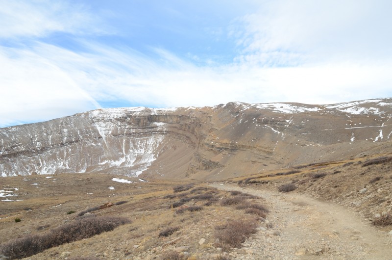
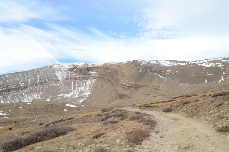
The well-named Horseshoe Mountain from the road to Peerless Mine
My older son (Randy) and I decided to head to the Mosquito Range for a day-and-a-half peakbagging trip. Monday's forecast called for only a 30% chance of snow, but a 60% chance of snow was predicted for Tuesday, along with 15 - 20 mph winds. We made it a point to be prepared for Tuesday's snow and wind.
Monday, Oct. 24, 2016
Randy is mostly targeting centennials and bicentennials, while my primary goal is tricentennials and repeats of centennials. Randy had already climbed Horseshoe Mountain but not Mt. Sheridan, while I wanted to repeat Horseshoe Mountain but not Mt. Sheridan. We devised a plan to reach our respective goals today.
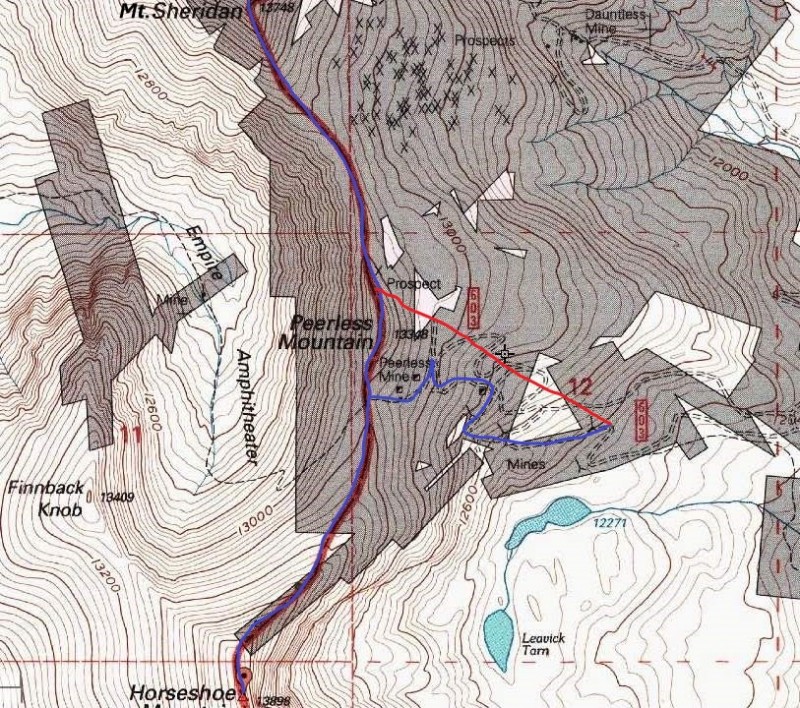
Randy and I left our home a little after 6:00 AM and drove toward Fairplay and up the Fourmile Creek Road to Leavick. After turning onto the road to the Peerless Mine, we parked below where snow covered the road. We hiked up the road past the Peerless Mine to the 13,180' saddle just above the mine. I turned left (south) and followed the ridge toward Horseshoe Mountain, while Randy turned right (north) and headed up Peerless Mountain.
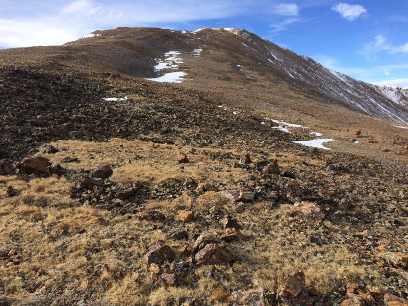
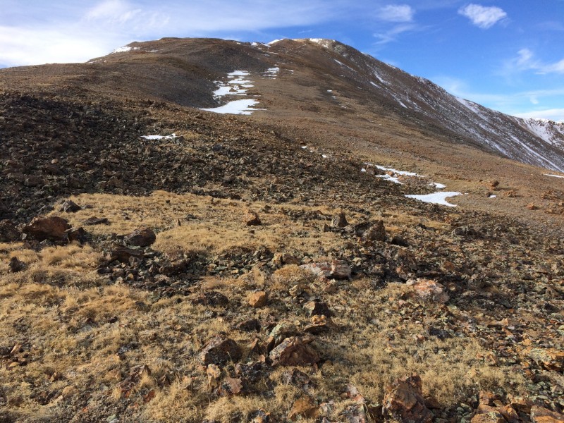
The gentle ridge to Horseshoe Mountain from near the Horseshoe - Peerless saddle
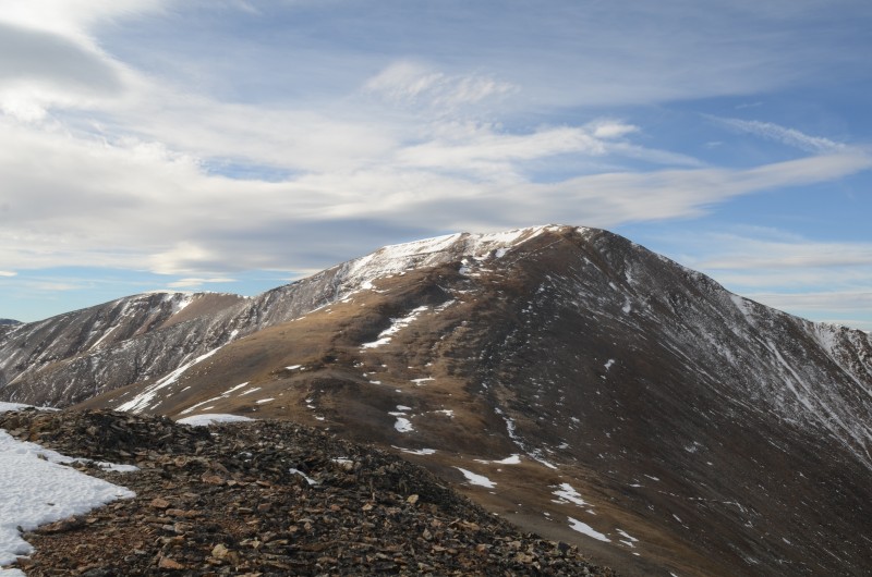
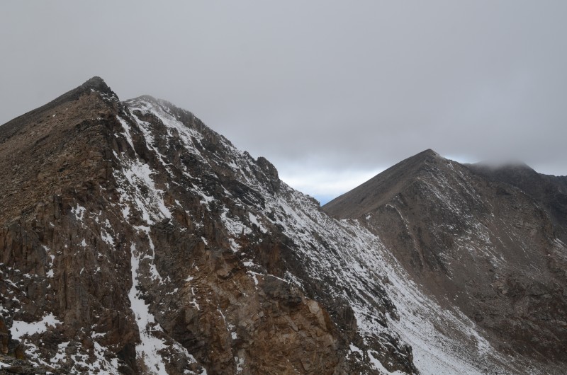
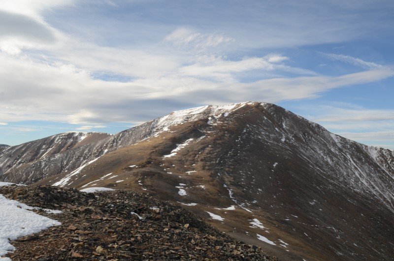
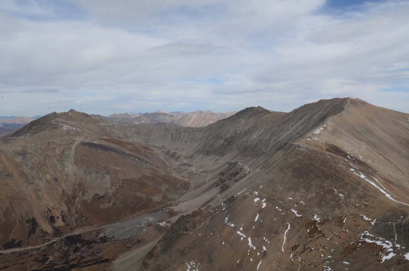
Horseshoe Mountain from Peerless Mountain
Mt. Sheridan, Mt. Sherman, and White Ridge from Peerless Mountain
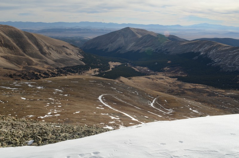
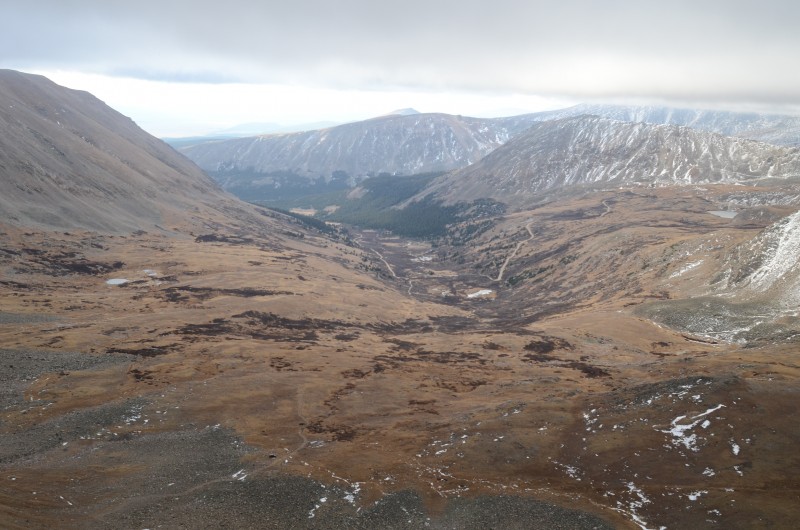
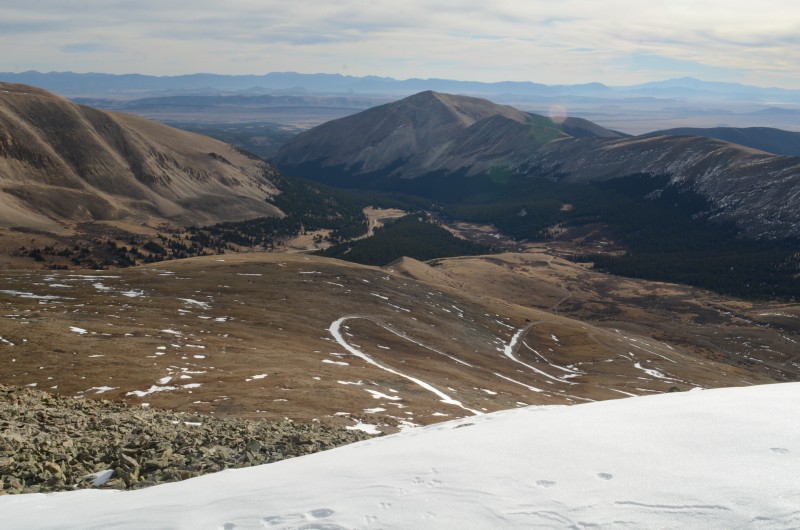
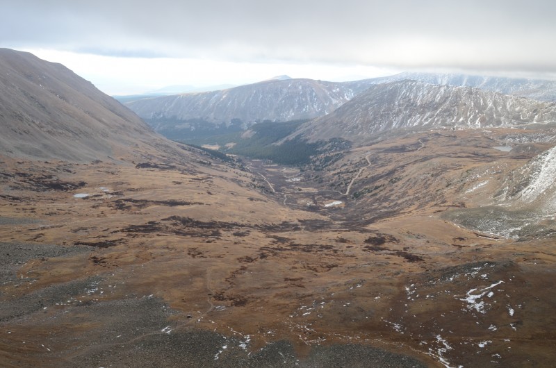
Looking east at Horseshoe Gulch from Peerless Mountain. Snow makes the road easy to see
I had an easy hike with minimal snow on the ridge to the summit of Horseshoe Mountain (13,898'). Meanwhile, Randy had a similarly easy, but much shorter, stroll to the summit of Peerless Mountain (13,348'). From there, Randy had a longer stroll along the ridge to Mt. Sheridan (13,748'), although any snow along the way was easy to bypass. Someone had built a sizable windbreak out of rocks on Mt. Sheridan's summit, but today it seemed to function more as a snow fence than a windbreak. After about 15 minutes on the summit of Mt. Sheridan, Randy headed back toward Peerless Mountain.
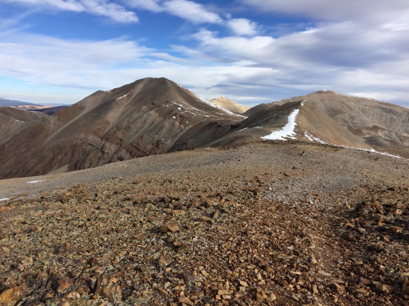
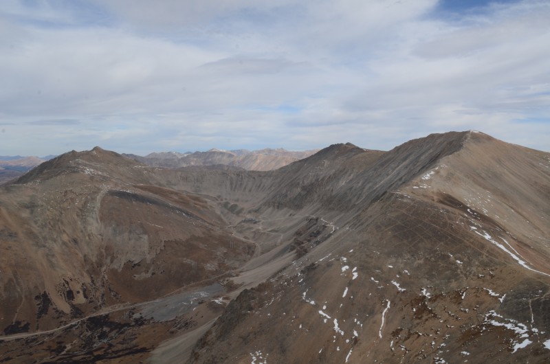
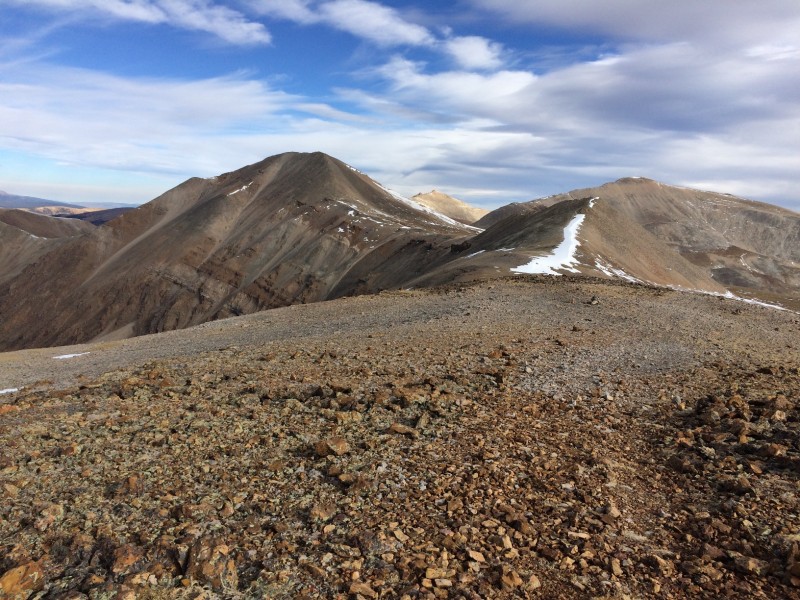
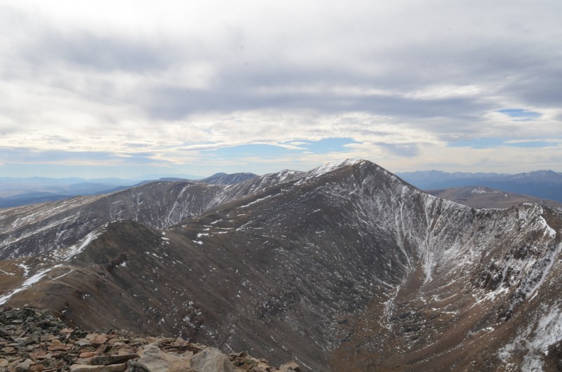
Mt. Sheridan and Peerless Mtn. from the summit of Horseshoe Mtn.
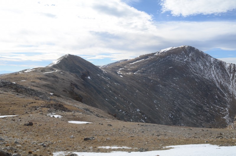
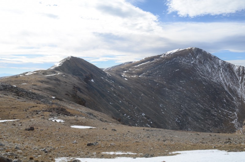
Peerless Mtn. and Horseshoe Mtn. from the base of Mt. Sheridan's summit block
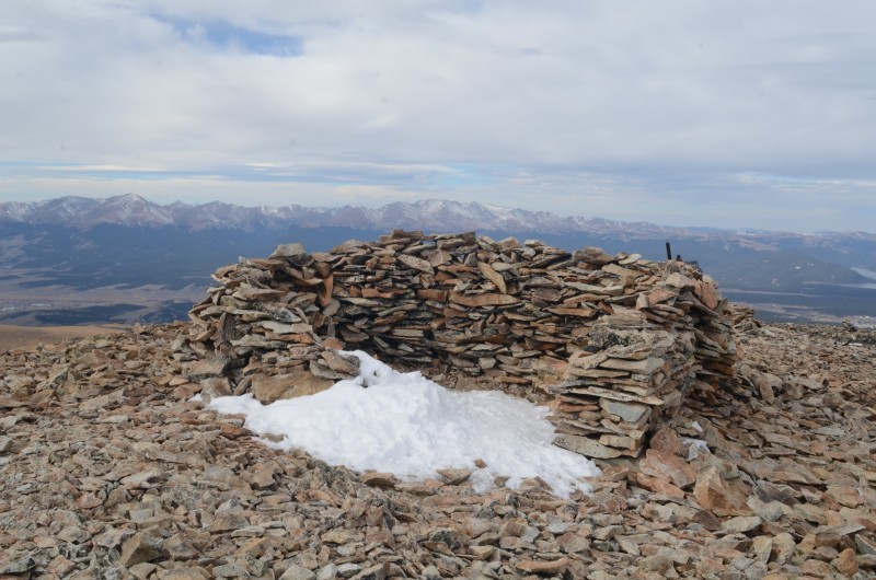
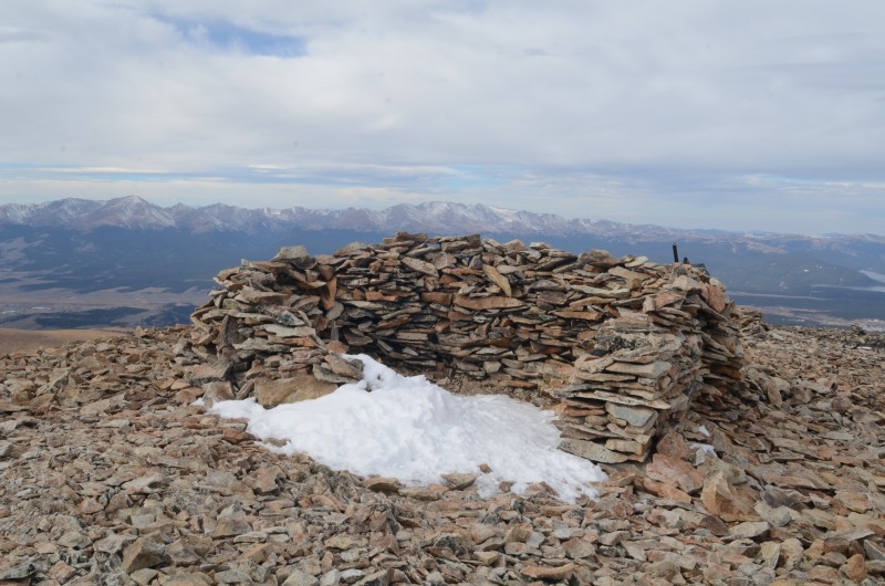
Shelter on the summit of Mt. Sheridan
Dyer Mtn., Gemini Peak, and Mt. Sherman from Mt. Sheridan's summit
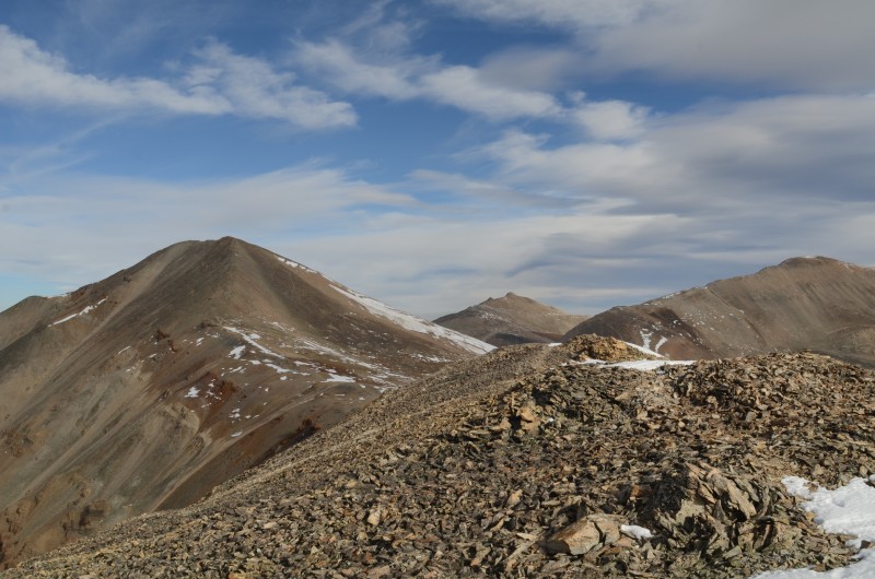
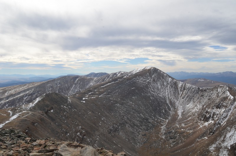
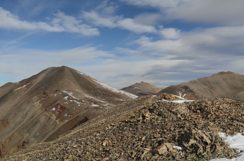
Peerless Mtn., Horseshoe Mtn., and Finnback Knob from Mt. Sheridan's summit
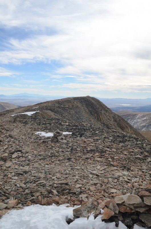
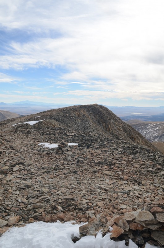
The relatively flat summit area on Mt. Sheridan
I returned to the Horseshoe - Peerless saddle and continued to the summit of Peerless Mountain. I could see an easy descent route from just north of Peerless Mountain to the Peerless Mine road, so I descended the north ridge of Peerless Mountain and met Randy there. We compared notes and concluded that none of today's peaks had summit registers.
We headed across the tundra to Randy's 4Runner, drove a bit below Leavick, and cooked grilled cheese sandwiches for lunch before finding a nice campsite at 2 PM on the Mosquito Pass Road between American Mill and North London Mill. We spent several hours relaxing at our campsite before dinner.
Tomorrow's goals: Mt. Tweto and Mt. Arkansas.
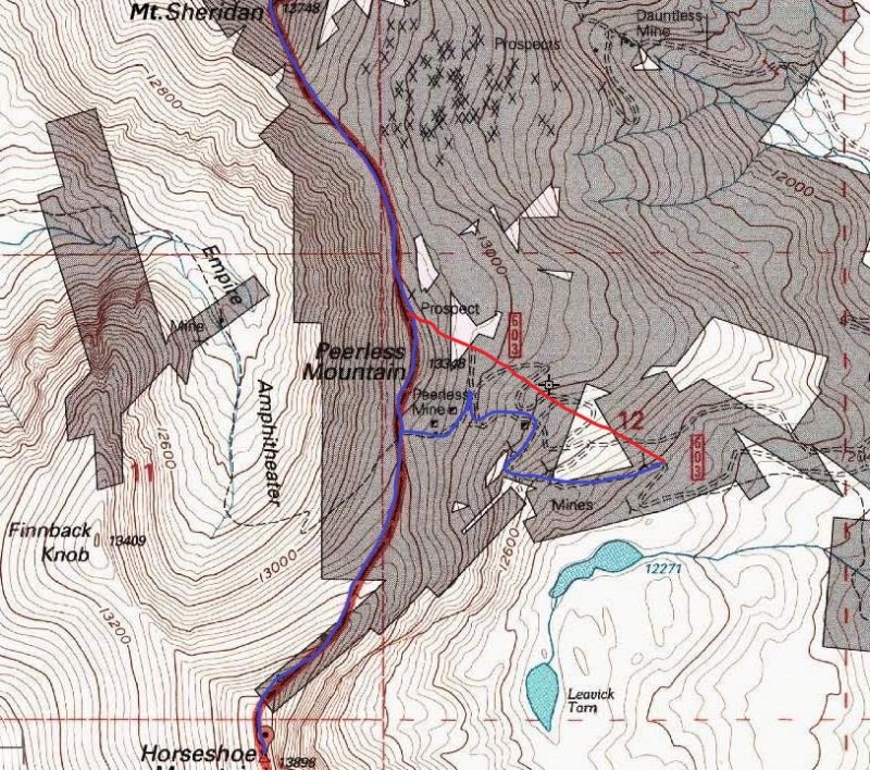
Blue = ascent route to Horseshoe Mtn. and Mt. Sheridan; red = descent route
Tuesday, Oct. 25, 2016
After breakfast, we left the Mosquito Pass Road at about 11,520' and followed a rough road another half mile NNW to an intersection at 11,800'. From here, a side road heads north into the basin below (south of) the Mt. Buckskin - Mt. Tweto ridge. In 2010, we climbed Mt. Buckskin from this basin, although the route is not described in the Roaches' thirteeners book or Garratt & Martin's thirteeners book.
The basin south of the Buckskin - Tweto ridge, with Loveland Mtn. at the far left. The Mosquito Pass Road is visible in the p
We climbed northwest up fairly stable rocky slopes and intersected the Buckskin - Tweto ridge east of Mt. Tweto. Light snow fell as we headed west up the ridge, bypassing occasional minor obstacles to the left (south). Snow would continue off and on all day, and the strong wind on the ridge made us glad we'd brought ski masks and balaclavas.
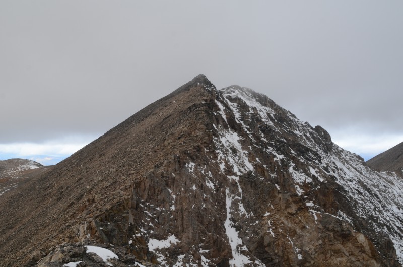
Looking toward Mt. Tweto from its east ridge. Most of the snow is on north-facing slopes
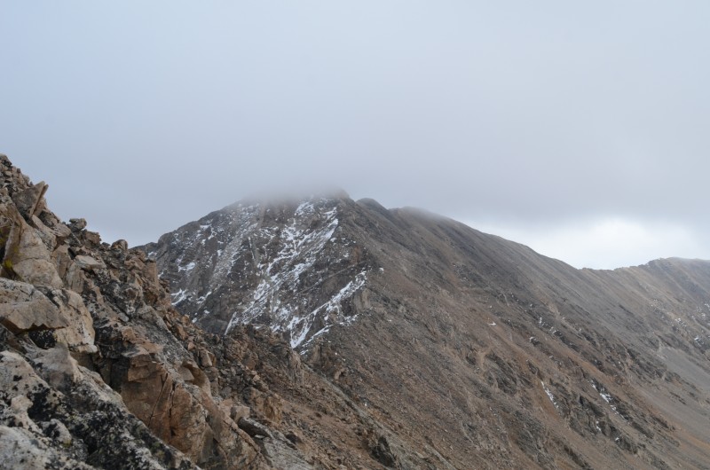
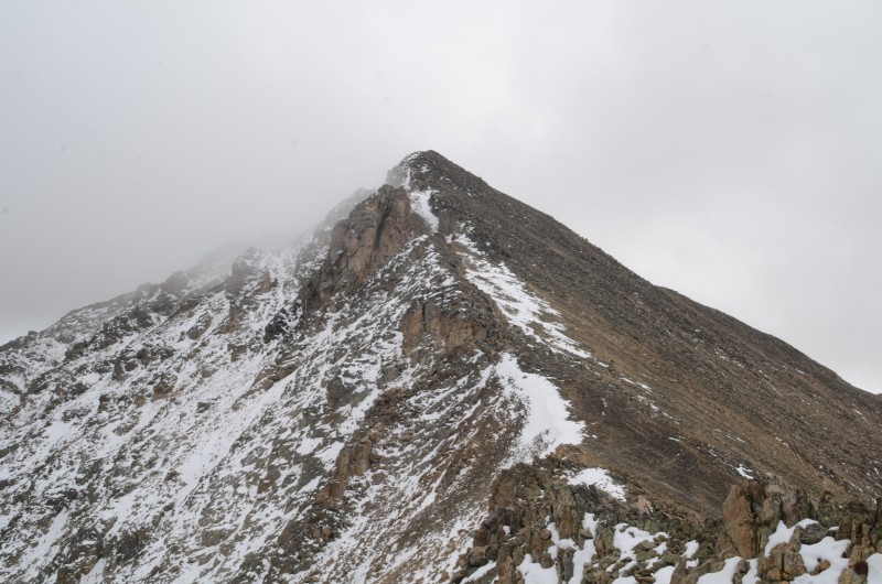
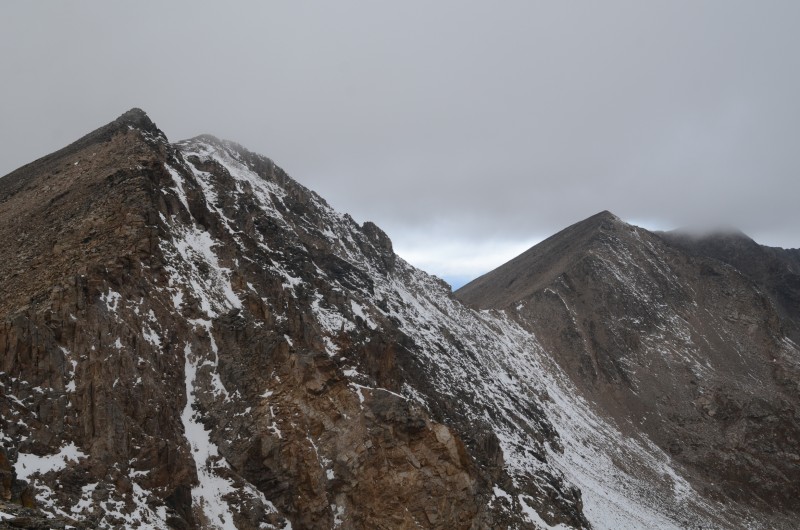
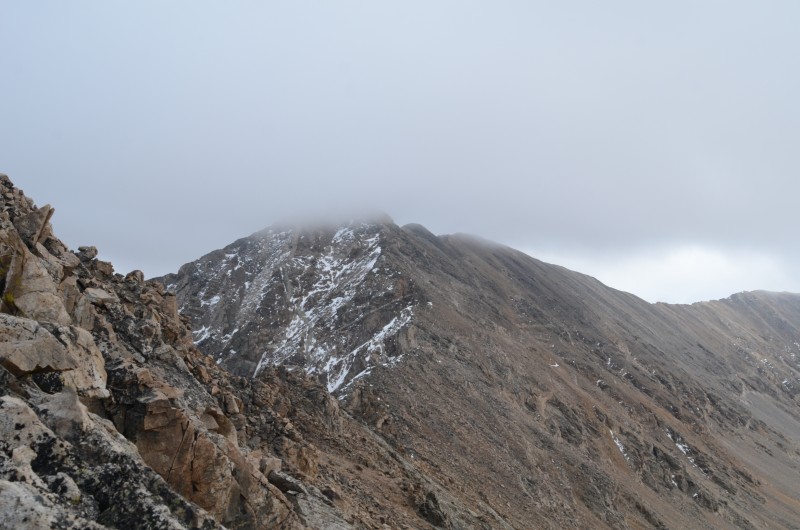
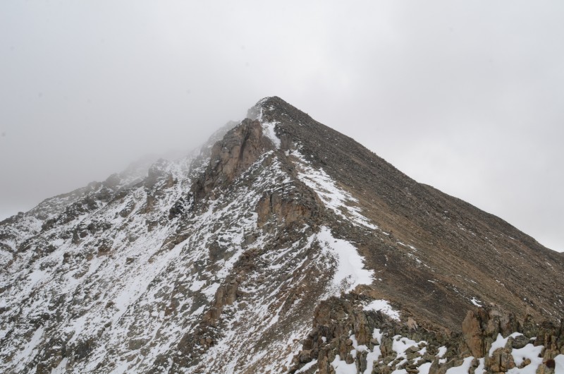
Mt. Tweto from its east ridge. Mt. Arkansas is behind its second false summit (hidden by fog, far right)
Looking toward Mosquito Pass from the Mt. Buckskin - Mt. Tweto ridge
Looking east toward Mt. Buckskin along the Buckskin - Tweto ridge
The fog became thicker and thicker as we ascended. Soon, we found ourselves on the summit of Mt. Tweto (13,672'). Unfortunately, we had no views to enjoy. Also, no summit register...
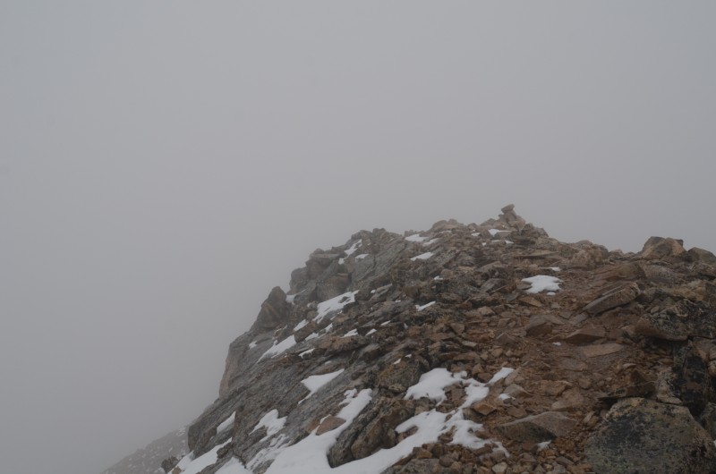
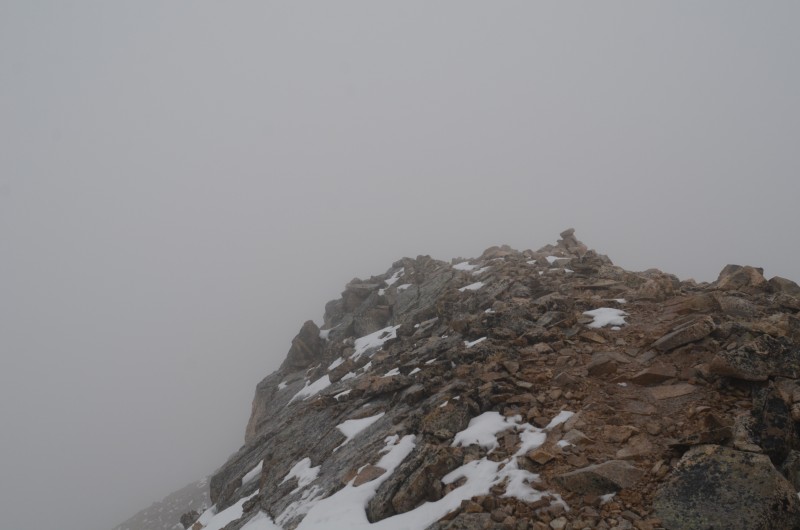
The summit of Mt. Tweto in the worsening weather. The rocks are beginning to get lightly coated with snow
The plaque just below Mt. Tweto's summit had only been there two years the previous time I saw it
The snow was very powdery and wasn't falling hard enough to create traction issues, so we continued north toward Mt. Arkansas. Unfortunately, the thick fog prevented any decent photos along the way. After enduring the disappointment of two false summits, we reached the summit of Mt. Arkansas (13,795') but did not find a summit register.
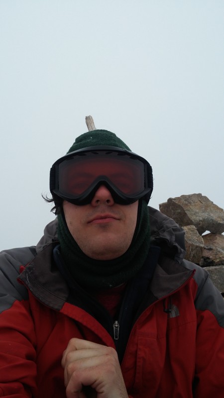
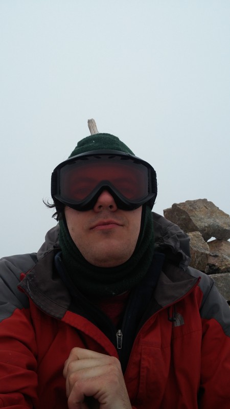
Randy's selfie on Mt. Arkansas. He positioned himself so the pole in the summit cairn appears to grow out of his head
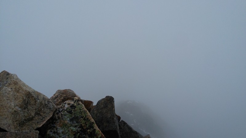
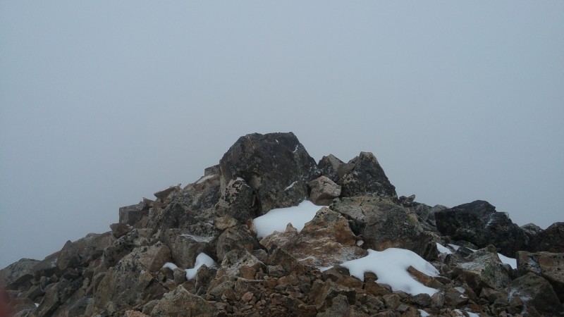
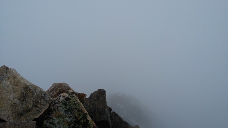
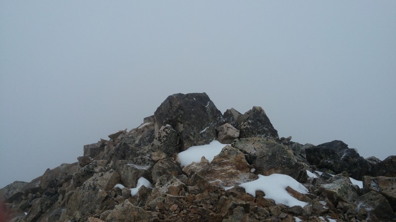
The "view" from the summit of Mt. Arkansas
Another view from the summit of Mt. Arkansas
After about a half hour on the summit, we headed back toward Mt. Tweto.
Mt. Buckskin from near the Mt. Arkansas - Mt. Tweto saddle
Mt. Tweto from near the Mt. Arkansas - Mt. Tweto saddle
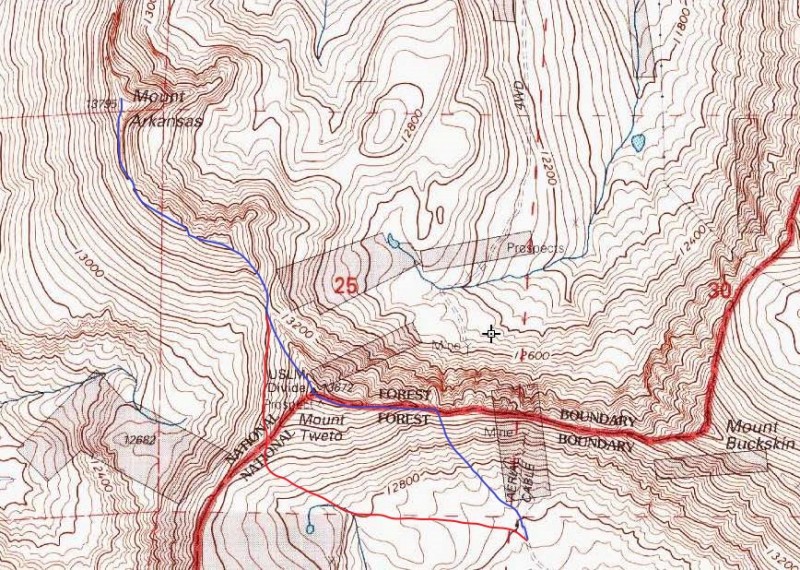
Rather than reclimb Mt. Tweto, we contoured west of it at about 13,250' and then descended SE into the broad basin south of the Mt. Buckskin - Mt. Tweto ridge. In hindsight, our descent route into the basin would have been a better ascent route than the one we'd taken.
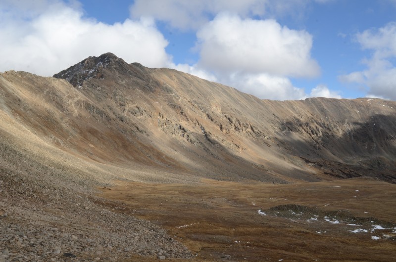
Mt. Buckskin and Loveland Mtn. sit above a large basin. (Taken from our descent route from Mt. Tweto's south ridge)
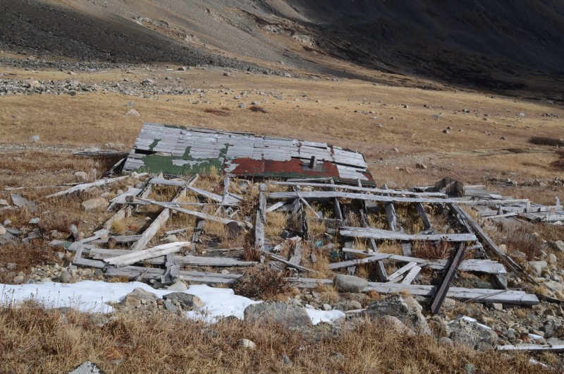
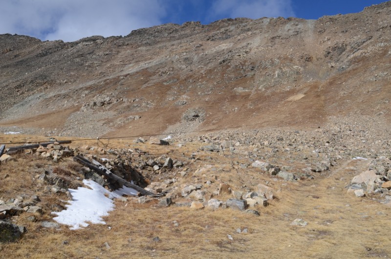
The snow had stopped, and some blue sky was now visible. We couldn't resist investigating the ruins of an aerial tram and an old mine building before heading home.
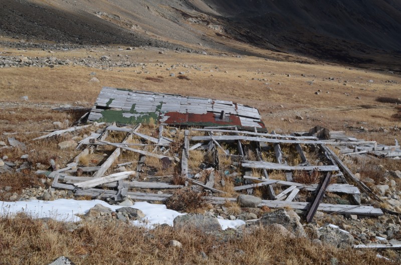
A collapsed mine building at 12,600' in the basin south of the Mt. Buckskin - Mt. Tweto ridge
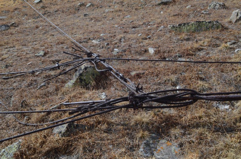
The remains of an aerial tram in the basin south of the Mt. Buckskin - Mt. Tweto ridge
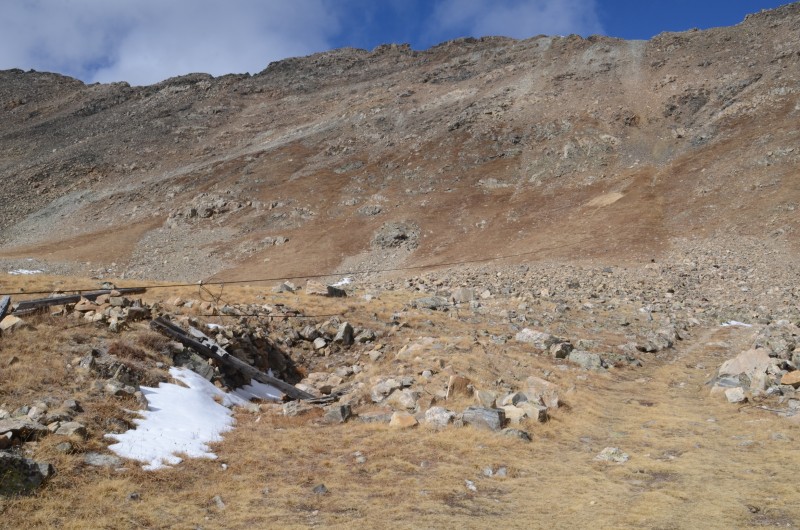
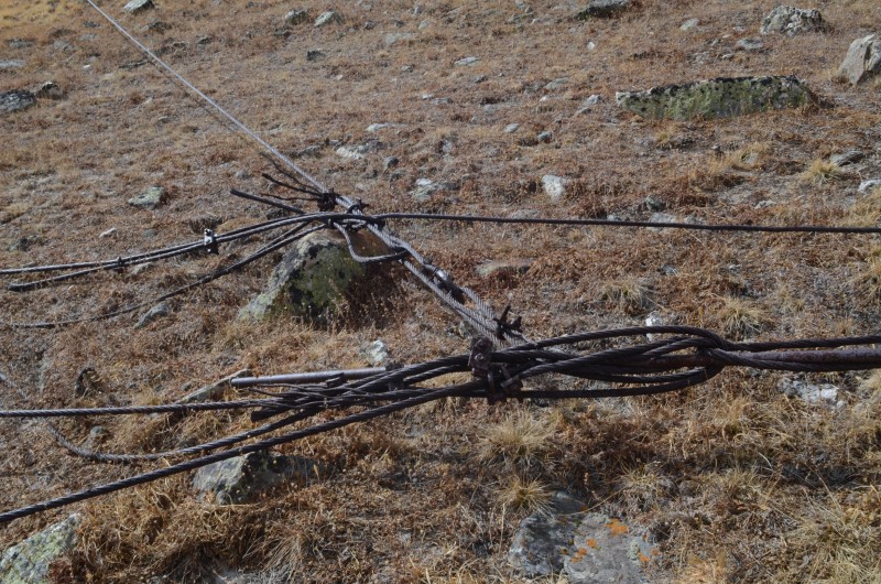
The anchoring system for the aerial tram
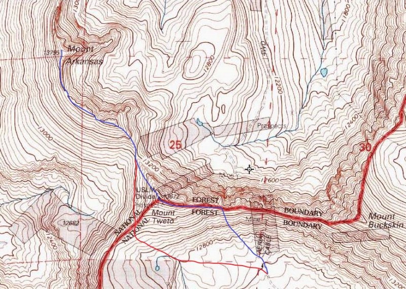
Blue = ascent route to Mt. Tweto and Mt. Arkansas; red = descent route
Thumbnails for uploaded photos (click to open slideshow):
Caution: The information contained in this report may not be accurate and should not be the only resource used in preparation for your climb. Failure to have the necessary experience, physical conditioning, supplies or equipment can result in injury or death. 14ers.com and the author(s) of this report provide no warranties, either express or implied, that the information provided is accurate or reliable. By using the information provided, you agree to indemnify and hold harmless 14ers.com and the report author(s) with respect to any claims and demands against them, including any attorney fees and expenses. Please read the 14ers.com Safety and Disclaimer pages for more information.
Copyright: Route information, text, risk factors, maps, GPX files, charts, photos, 14ers.com-created map imagery, flythroughs, and other content provided in this route description are copyrighted by 14ers.com and may not be copied, reproduced, republished, distributed, modified, or used to create derivative works without prior written permission.
Please respect private property: 14ers.com supports the rights of private landowners to determine how and by whom their land will be used. In Colorado, it is your responsibility to determine if land is private and to obtain the appropriate permission before entering the property.