Download Agreement, Release, and Acknowledgement of Risk:
You (the person requesting this file download) fully understand mountain climbing ("Activity") involves risks and dangers of serious bodily injury, including permanent disability, paralysis, and death ("Risks") and you fully accept and assume all such risks and all responsibility for losses, costs, and damages you incur as a result of your participation in this Activity.
You acknowledge that information in the file you have chosen to download may not be accurate and may contain errors. You agree to assume all risks when using this information and agree to release and discharge 14ers.com, 14ers Inc. and the author(s) of such information (collectively, the "Released Parties").
You hereby discharge the Released Parties from all damages, actions, claims and liabilities of any nature, specifically including, but not limited to, damages, actions, claims and liabilities arising from or related to the negligence of the Released Parties. You further agree to indemnify, hold harmless and defend 14ers.com, 14ers Inc. and each of the other Released Parties from and against any loss, damage, liability and expense, including costs and attorney fees, incurred by 14ers.com, 14ers Inc. or any of the other Released Parties as a result of you using information provided on the 14ers.com or 14ers Inc. websites.
You have read this agreement, fully understand its terms and intend it to be a complete and unconditional release of all liability to the greatest extent allowed by law and agree that if any portion of this agreement is held to be invalid the balance, notwithstanding, shall continue in full force and effect.
By clicking "OK" you agree to these terms. If you DO NOT agree, click "Cancel"...
Tuesday, 20 September 2016
Route: South Ridge from Teton Pass
Distance: ~2.8 miles R/T
Gain: ~1900 feet
Mount Glory is a relatively small mountain in the southern Teton Range in northwest Wyoming, just west of Jackson and Wilson. Wyoming Highway 22 crosses Teton Pass at the base of the mountain's south slopes, providing easy access year-round. The mountain has two summits; the southern one is the true summit at 10,086 feet, while the lower northern summit sits at 10,032 feet.
I decided to give this supposedly quick ascent a shot after hanging around Jackson for the day and on the way into Idaho. I drove up Teton Pass (steep!), parked at the top, got some gear ready for Sven and I, and soon we were off.
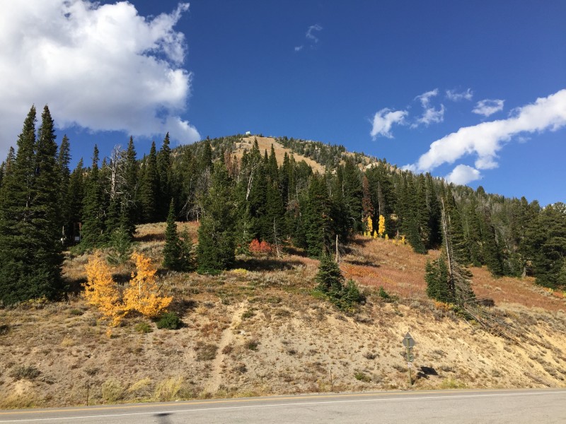
Mount Glory seen from the Teton Pass trailhead.
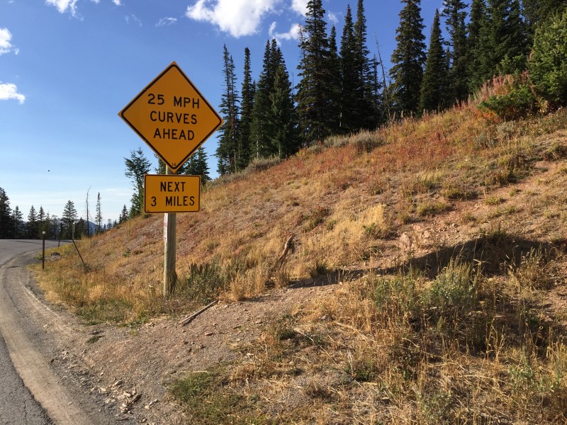
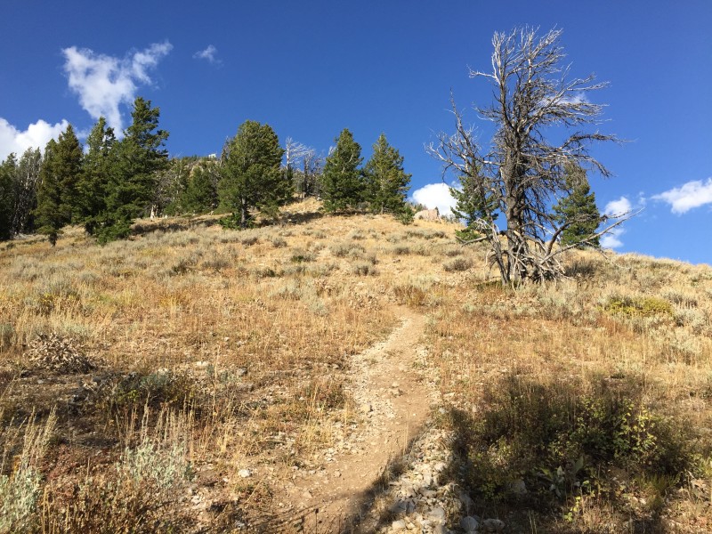
The start of the trail. Can't miss it!
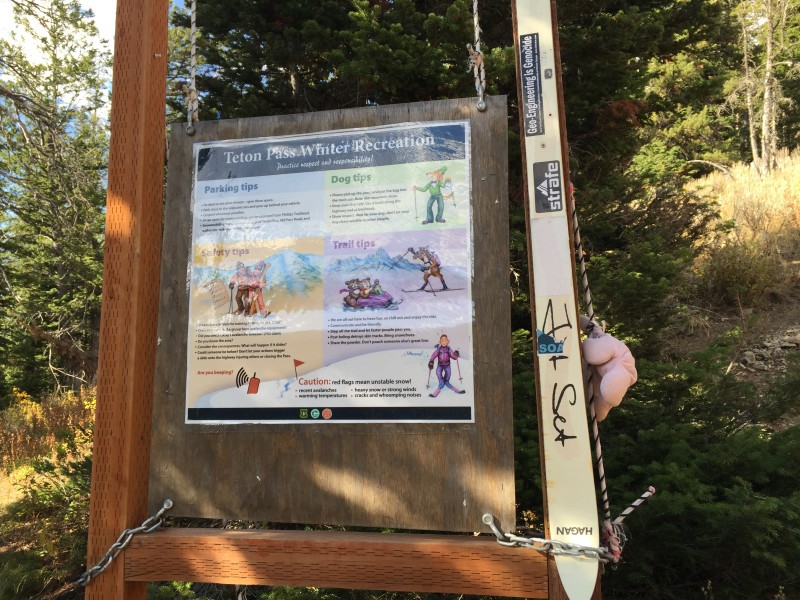
We crossed the road and headed up the trail. Near the start were some informational signs, mostly catering to those ascending the mountain during winter.
Winter information.
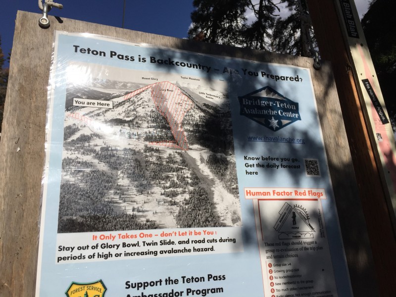
Tee hee...Glory Bowl...
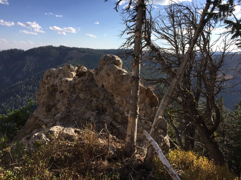
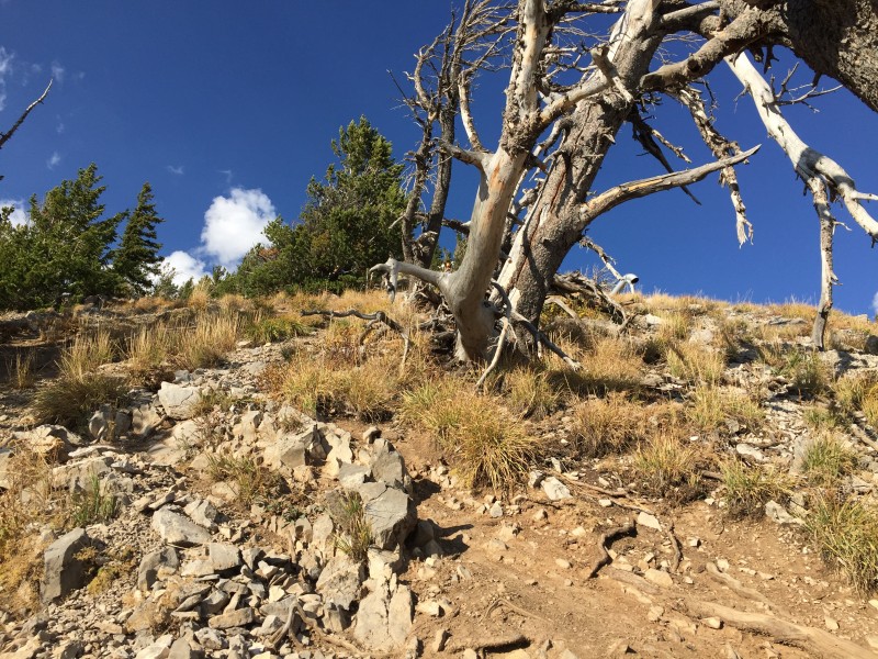
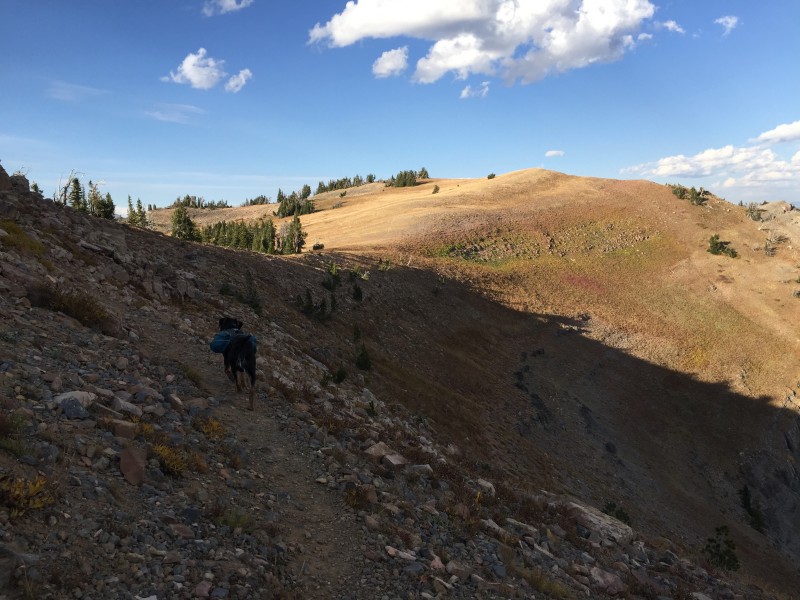
The trail is a climber's trail; therefore, it practically heads straight up the mountain from bottom to top. It's a steep ascent, but I was gaining elevation quickly. It promptly leaves the cover of the forest to head up the western edge of the barren strip of land on the mountain's southern slopes. As I climbed higher, I passed a rock outcropping, and later, some sort of object...
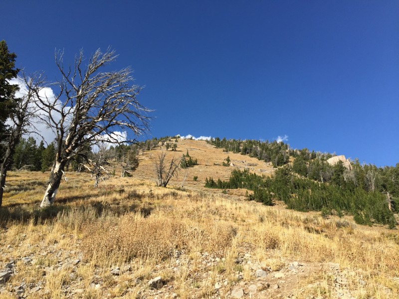
Well, the continuous forest didn't last long.
Up the strip.
Rocks. If you see this, then yes, you are still going the right way!
Looking back.
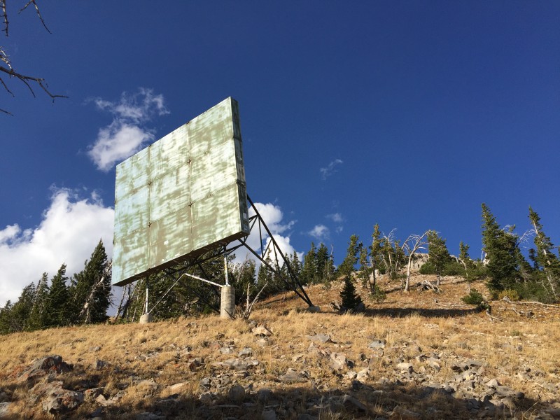
Something is weird here...
As I approached the upper reaches of the mountain, more and more "things" started showing up, including a large billboard/screen, under which the trail actually passes.
Hike-in theater?
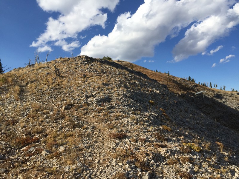
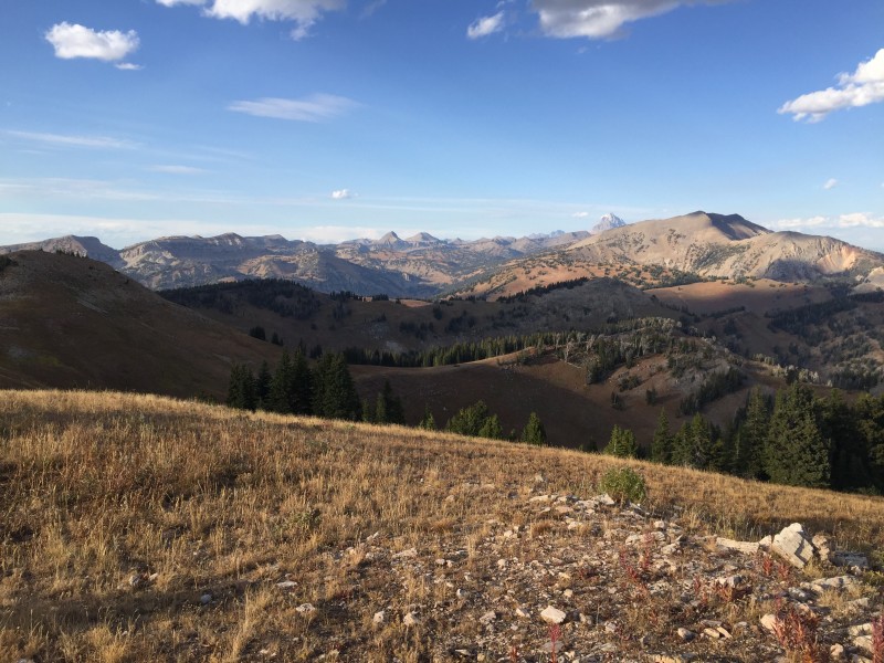
Shortly after, I reached the small summit ridge and strolled up to the top. The views were gorgeous and stretched from Grand Teton to the town of Jackson to the Wyoming Range, with the Snake River in between.
Just about there!
There are the views! Taylor Mountain on the left, Grand Teton poking out on the right with the rest of the Teton Range high peaks, and...heh... the Glory Bowl.
What even goes on up here?!
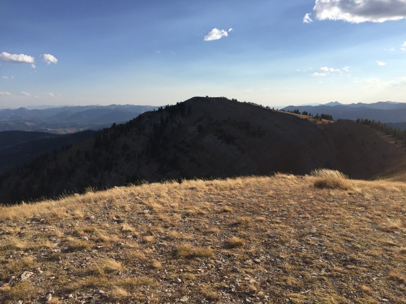
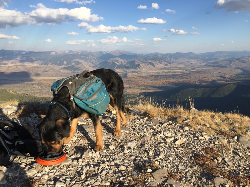
I took a look at the northern summit and thought, why not? The saddle between the two drops maybe 150 feet or so, and the horizontal distance isn't much either, so I set off with the dog.
Traversing the Glory Bowl.
Somewhere between 10 and 15 minutes later, I was standing on the north summit after traversing the top of the Glory Bowl.
Looking back at the main summit from the north sub-summit.
Looking north along the Teton Range from the northern sub-summit.
After a quick breather, I headed back to the main summit for a proper snack break.
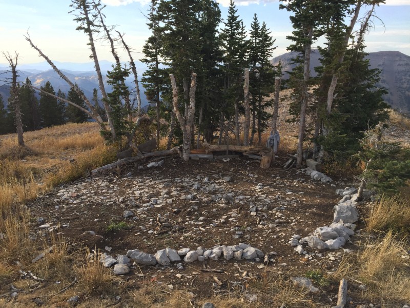
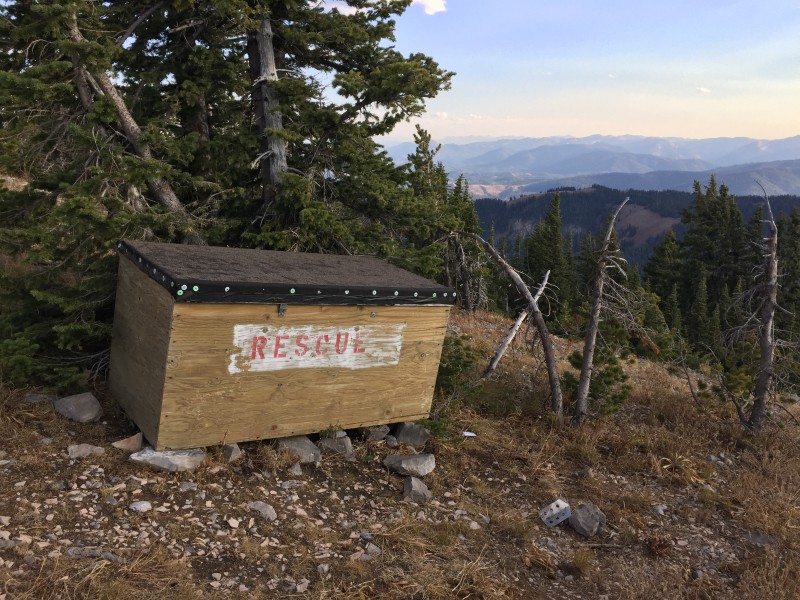
They keep a winter rescue box near the summit.
The southern part of the Jackson Hole valley with a strip of gold trees along the Snake River. Jackson is nestled on the left
The relief between Grand Teton and the valley floor is awesome.
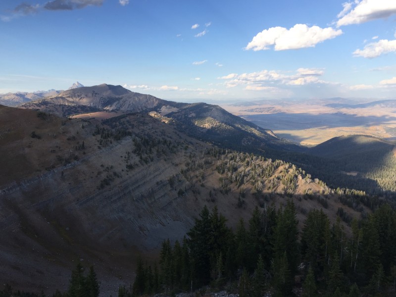
A wide shot of the eastern summit view, which includes the Teton Range with the Grand Teton, towns of Jackson and Wilson, Snake River Valley, Gros Ventre Range, and Wyoming Range.
So majestic.
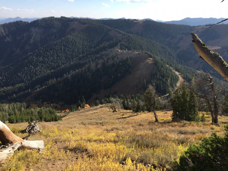
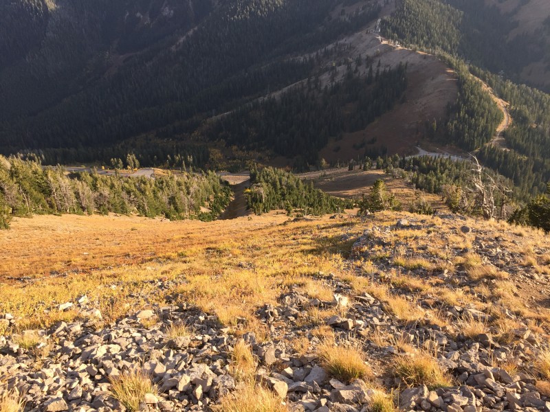
After sitting around with Sven and enjoying the views, I gathered our stuff and set off down the trail back toward the trailhead. From the summit to the car, it took about 25 minutes - a quick descent down that steep slope!
Heading down.
Hopefully, any of you heading to this area and looking for a good way to spend a couple hours have found this helpful. Go get those views!
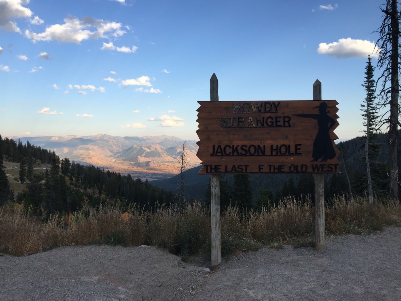
Howdy, stranger!
~Tony
Thumbnails for uploaded photos (click to open slideshow):
Great report and pictures! I hiked Glory and Mount Elly in August. Such a wonderful area. I believe I saw three people the entire day.
Caution: The information contained in this report may not be accurate and should not be the only resource used in preparation for your climb. Failure to have the necessary experience, physical conditioning, supplies or equipment can result in injury or death. 14ers.com and the author(s) of this report provide no warranties, either express or implied, that the information provided is accurate or reliable. By using the information provided, you agree to indemnify and hold harmless 14ers.com and the report author(s) with respect to any claims and demands against them, including any attorney fees and expenses. Please read the 14ers.com Safety and Disclaimer pages for more information.
Please respect private property: 14ers.com supports the rights of private landowners to determine how and by whom their land will be used. In Colorado, it is your responsibility to determine if land is private and to obtain the appropriate permission before entering the property.