Download Agreement, Release, and Acknowledgement of Risk:
You (the person requesting this file download) fully understand mountain climbing ("Activity") involves risks and dangers of serious bodily injury, including permanent disability, paralysis, and death ("Risks") and you fully accept and assume all such risks and all responsibility for losses, costs, and damages you incur as a result of your participation in this Activity.
You acknowledge that information in the file you have chosen to download may not be accurate and may contain errors. You agree to assume all risks when using this information and agree to release and discharge 14ers.com, 14ers Inc. and the author(s) of such information (collectively, the "Released Parties").
You hereby discharge the Released Parties from all damages, actions, claims and liabilities of any nature, specifically including, but not limited to, damages, actions, claims and liabilities arising from or related to the negligence of the Released Parties. You further agree to indemnify, hold harmless and defend 14ers.com, 14ers Inc. and each of the other Released Parties from and against any loss, damage, liability and expense, including costs and attorney fees, incurred by 14ers.com, 14ers Inc. or any of the other Released Parties as a result of you using information provided on the 14ers.com or 14ers Inc. websites.
You have read this agreement, fully understand its terms and intend it to be a complete and unconditional release of all liability to the greatest extent allowed by law and agree that if any portion of this agreement is held to be invalid the balance, notwithstanding, shall continue in full force and effect.
By clicking "OK" you agree to these terms. If you DO NOT agree, click "Cancel"...
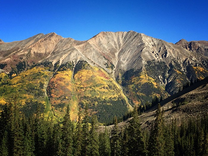
If you're looking for the more scenic route you can have all to yourself, Lulu Gulch route to Huron is definitely the way to go. Like many predicted I did not see another person till the trails intersect near the final stretch. I decided to get a later start than usual to be able to enjoy the autumn leaves in the sunlight. it was definitely worth it.
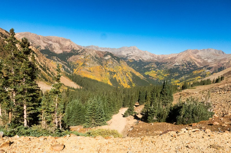
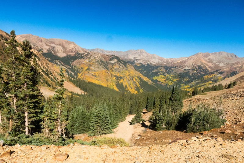
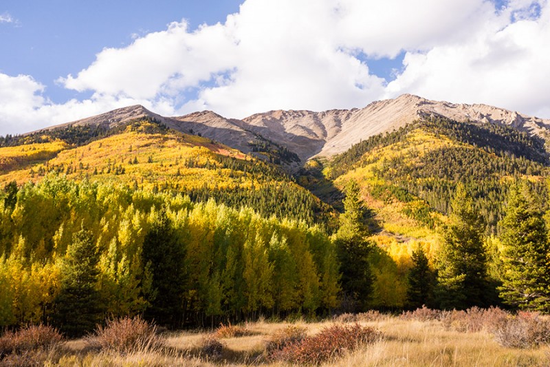
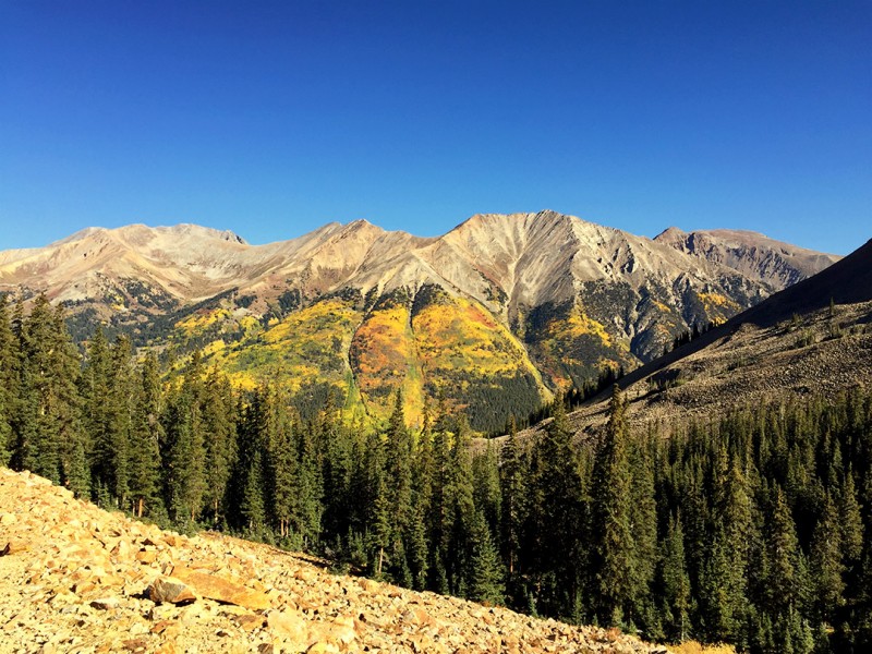
Scenery not long after breaking off onto the Lulu Gulch trail
Just as the description here says, the road is immediately pretty rough when you take a left instead of taking the more standard 4-wheel drive road. It does seem doable here with the right car. But I will admit, even though there was one set of tracks on this road that made it to the end, it seemed like you'd need a little experience and maybe raised suspension. Most of it did not seem like too much for a standard wrangler to handle though.
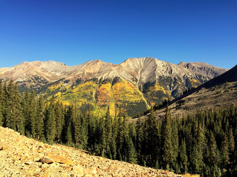
Not long after the Lulu trail starts you already have great scenery of La Plata and the surrounding mountains. With this being a fall trip and an amazing sunny day I was already very glad to have taken this route. It is not very challenging here and the road is definitely still drivable with a standard jeep. The road conditions do not stay that way forever though.
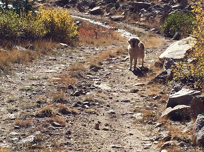
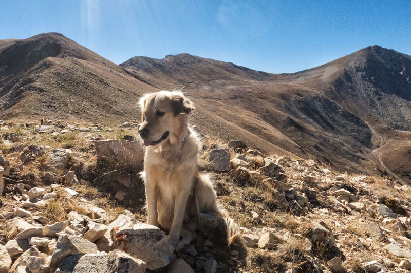
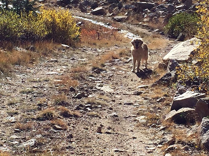
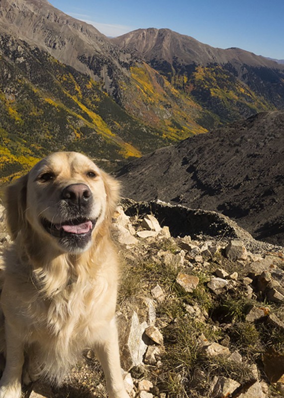
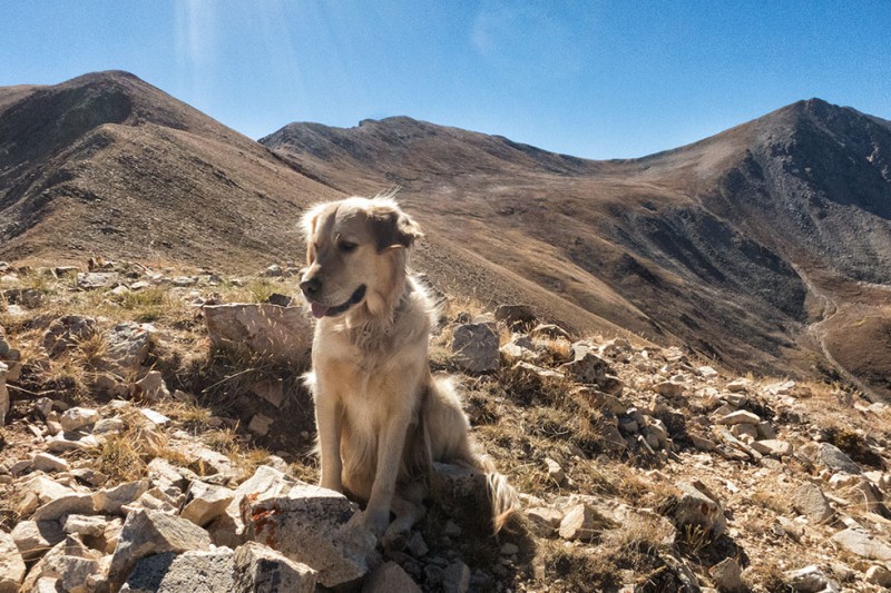
Juneau telling me to hurry up
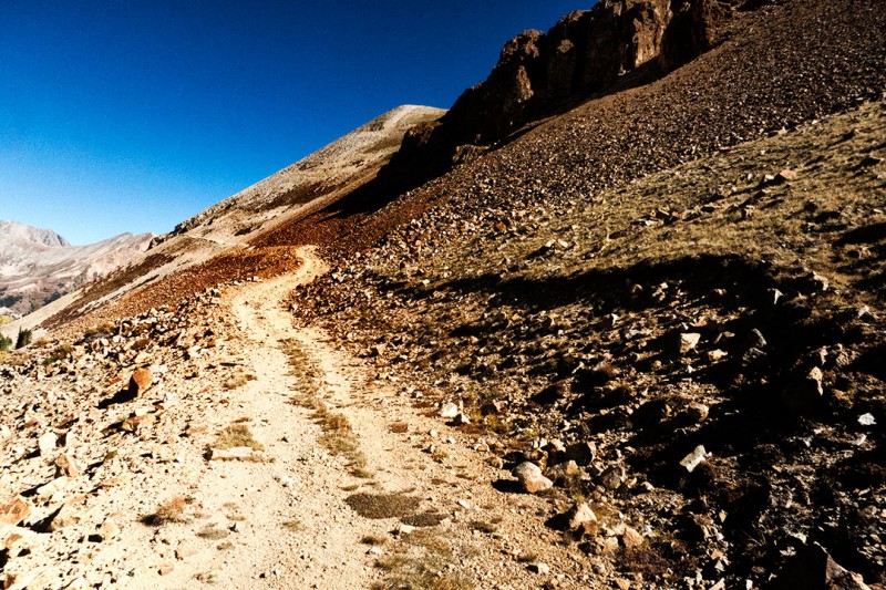
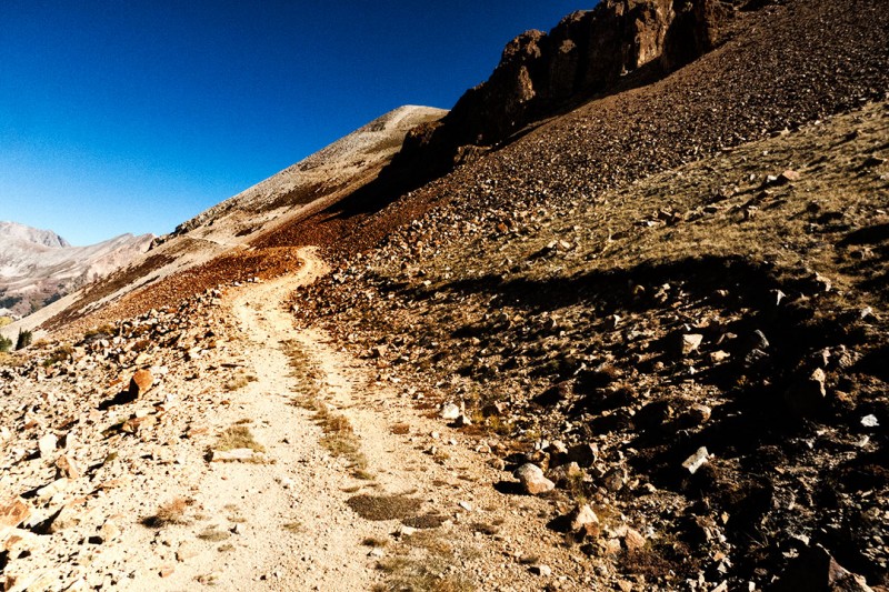
The last stretch of the road
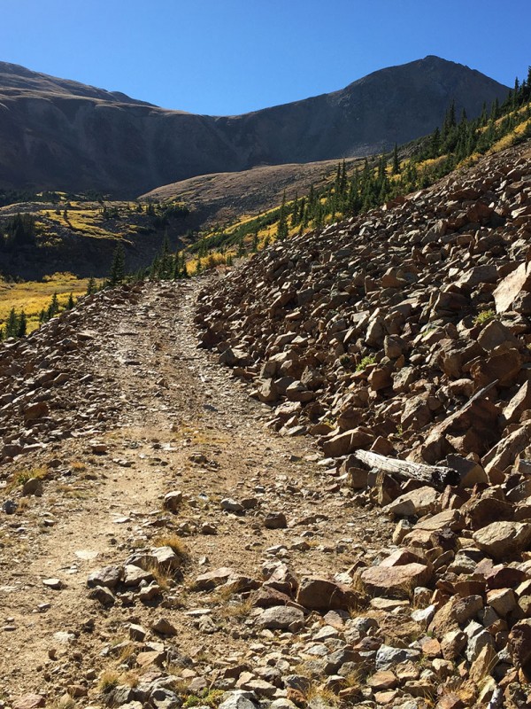
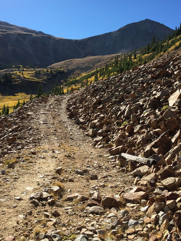
Much of the road looks like this. A few places look nothing like this.
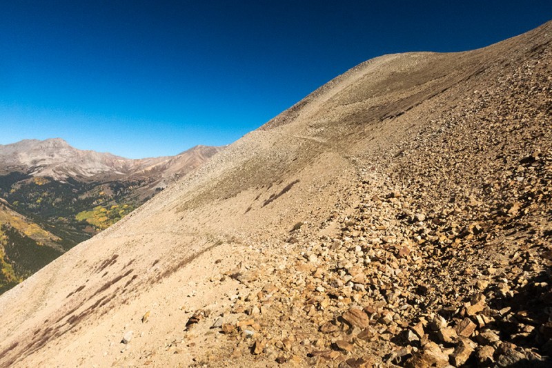
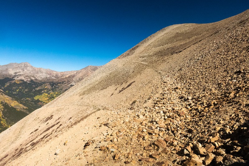
Heading up the traverse not far from where the road ends
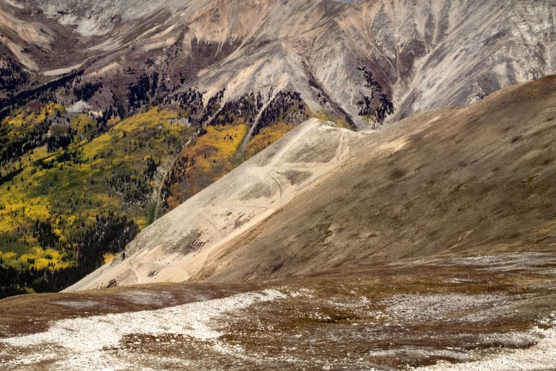
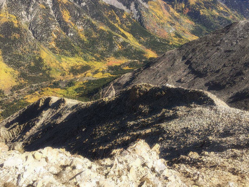
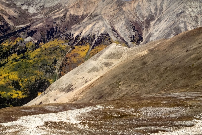
Here's a view of the traverse from Brown Mountain
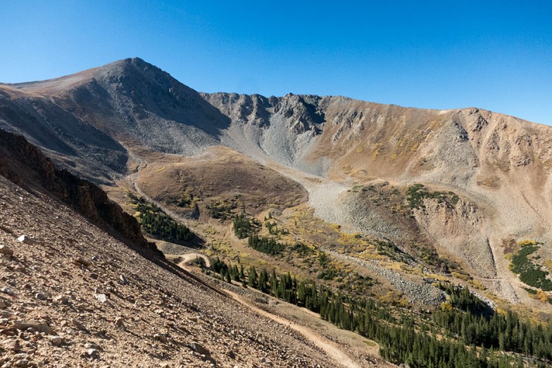
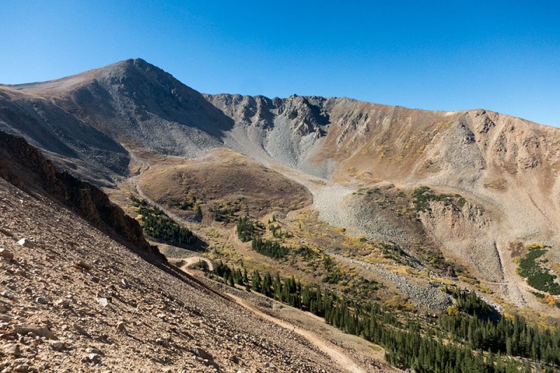
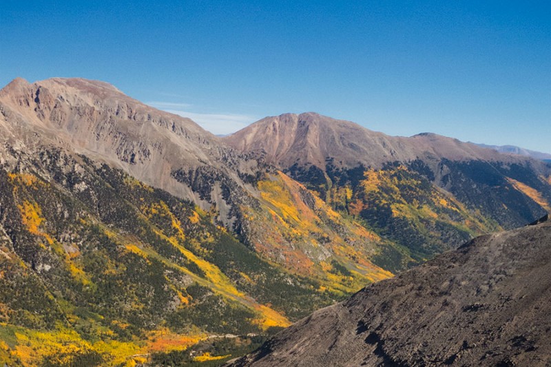
Brown Mountain, some of the road you left earlier and a view of where the option #1 trail is
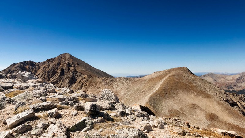
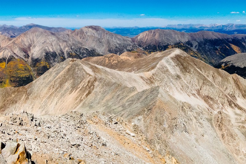
The road ends where the traverse starts. There is enough room for one or maybe two cars to park here although turning around to head back seemed like it might take a little skill if you have 4-door.. The hiking here was pretty easy and there is unbelievable scenery everywhere. There is a pictures here on the trail and one from a distance to give you a good view of what it is like. At the top you have a great view of the surrounding mountains the peaks you'll be hiking to further along the trail- Middle Mtn, PT13,462, and Brown mountain. Just awesome! You can also see where option #1 for this route would have taken you from here.
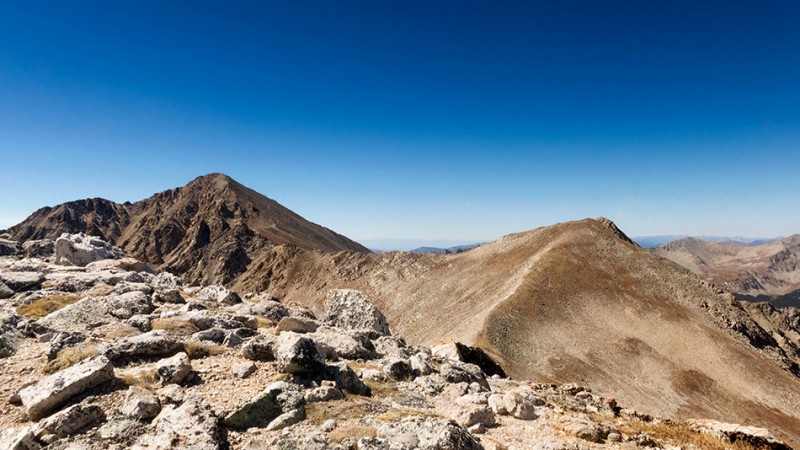
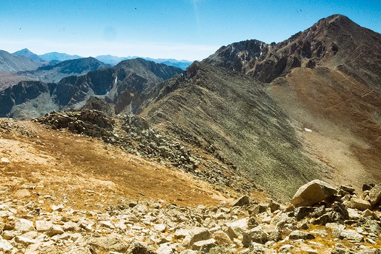
Middle Mtn, PT13,462, and Brown Mountain from the top of the traverse
Hiking between the peaks here is straight-forward and not challenging. I actually jogged some of it just for the heck of it. You can a great view of Huron from many angles, as well as a 360 view of endless mountains and trees and everything. The final stretch after the trails merge can also easily be seen from these peaks on a sunny day. The traverse you took earlier can also be seen well from around Brown Mountain.
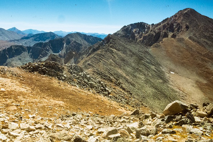
View of Brown Mountain and Huron from PT 13,462
Huron from Brown
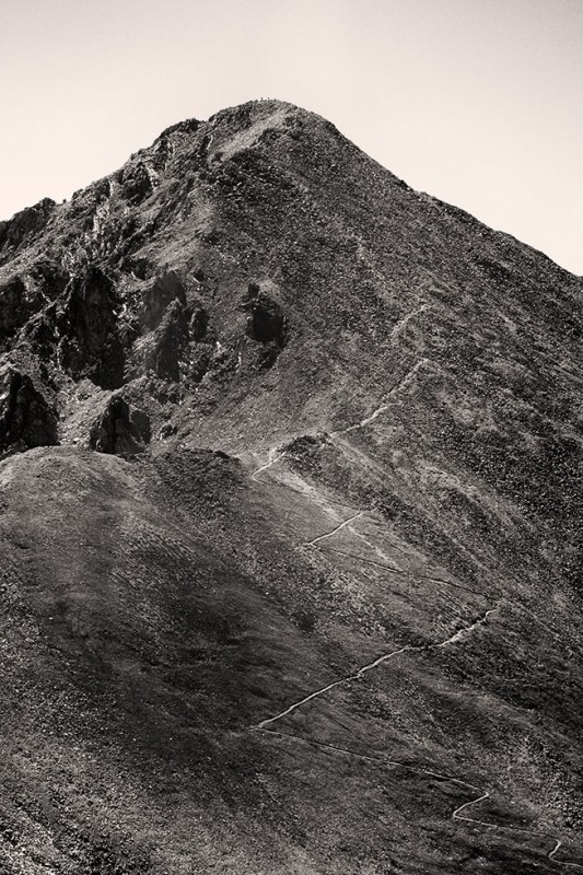
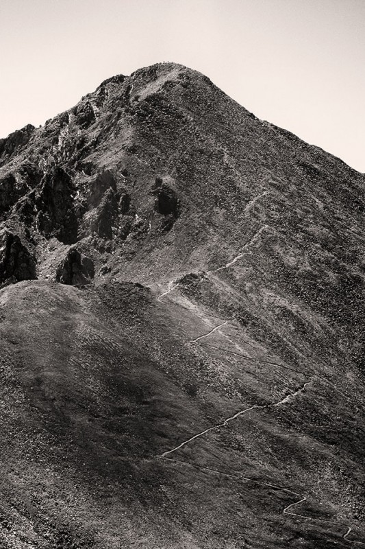
The rocky traverse between Brown and Huron is not as challenging as it may look. There are many loose rocks there, though, so get a good feel for them before committing. I had one slip and nail my foot which at the time felt as if it may have damaged a bone so be careful. The final ascent is relatively short and never really gets too steep. The trail stays visible at all times as well.
The standard route and peak seen from the end of the traverse
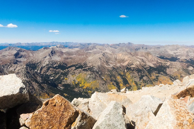
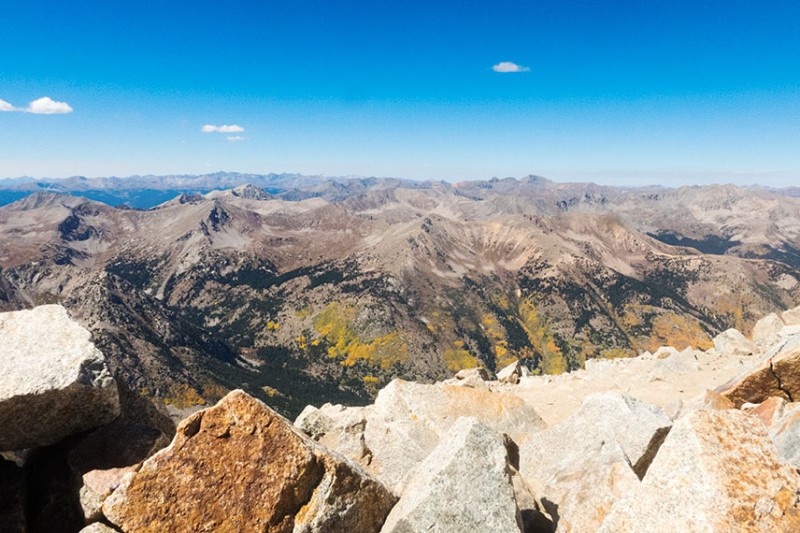
The view from the peak was amazing in every direction today.
Western view from the peak
Thumbnails for uploaded photos (click to open slideshow):
Took the Lulu Gulch route two summers ago and thoroughly enjoyed it. We elected to go up the steep grassy slope rather than up Middle Mountain path. That was a bit tricky but the whole trip was very enjoyable. Great alternative if you like a basin to yourself.
I took the Lulu Gulch route on 9-26 and completely botched my attempt to use the "Option 1" route up the gulch by Browns Peak -- and this was because I couldn't read my enormous Note 5 phone screen in Monday's bright sun, (even when I attempted to shade it) and thus couldn't see the "red line" showing the route. I mistook Brown's for Huron itself (proving that sometimes even a graduate degree can't fix stupid) and went for the wrong route (although the "trail" that breaks to the right, i.e., south, from that hairpin turn, wasn't anything like apparent -- there was only a small stick, shoved into some talus, with a boulder field beyond it; whether that even marked the "trail" wasn't at all clear).
I wasted nearly an hour looking for the route, gaining only about 400' in the process. I wound up standing on a boulder in the middle of a rockfall -- it wasn't so much that there was a spill of rock from talus to boulders that told me it was a rockfall; it was more the cracking noises I heard a few hundred feet above me and the rocks actually falling. (Well, rolling was more like it, sort of like half-ton, bouncing bowling balls, and me as the 250 pound, Patagucci-clad bowling pin. The freezing-sunblast cycle was dislodging rocks big enough to kill me, if only out of fright if they passed close enough. Had I actually been hit by one, only a slylishly-clad lump of bloody former hiker/climber would have remained.)
Rock-hopping out of harm's way was tiring enough to call it a day, and to call it a lessoned learned -- namely: a) get the route right, and b) don't stand in the middle of a granitic game of bocci ball.
Your photos will make it easier to find that blasted Option 1 trail and hike up the right gully, so you have my thanks. (Or I may decide to acquaint myself with Middle Mountain after all.) The weather and my schedule will dictate how soon I can haul my old carcass up that jeep road again, then to the summit of the actual mountain I was seeking, which I have still, in fact, never actually seen. C'est la vie. 😀
Caution: The information contained in this report may not be accurate and should not be the only resource used in preparation for your climb. Failure to have the necessary experience, physical conditioning, supplies or equipment can result in injury or death. 14ers.com and the author(s) of this report provide no warranties, either express or implied, that the information provided is accurate or reliable. By using the information provided, you agree to indemnify and hold harmless 14ers.com and the report author(s) with respect to any claims and demands against them, including any attorney fees and expenses. Please read the 14ers.com Safety and Disclaimer pages for more information.
Copyright: Route information, text, risk factors, maps, GPX files, charts, photos, 14ers.com-created map imagery, flythroughs, and other content provided in this route description are copyrighted by 14ers.com and may not be copied, reproduced, republished, distributed, modified, or used to create derivative works without prior written permission.
Please respect private property: 14ers.com supports the rights of private landowners to determine how and by whom their land will be used. In Colorado, it is your responsibility to determine if land is private and to obtain the appropriate permission before entering the property.