Download Agreement, Release, and Acknowledgement of Risk:
You (the person requesting this file download) fully understand mountain climbing ("Activity") involves risks and dangers of serious bodily injury, including permanent disability, paralysis, and death ("Risks") and you fully accept and assume all such risks and all responsibility for losses, costs, and damages you incur as a result of your participation in this Activity.
You acknowledge that information in the file you have chosen to download may not be accurate and may contain errors. You agree to assume all risks when using this information and agree to release and discharge 14ers.com, 14ers Inc. and the author(s) of such information (collectively, the "Released Parties").
You hereby discharge the Released Parties from all damages, actions, claims and liabilities of any nature, specifically including, but not limited to, damages, actions, claims and liabilities arising from or related to the negligence of the Released Parties. You further agree to indemnify, hold harmless and defend 14ers.com, 14ers Inc. and each of the other Released Parties from and against any loss, damage, liability and expense, including costs and attorney fees, incurred by 14ers.com, 14ers Inc. or any of the other Released Parties as a result of you using information provided on the 14ers.com or 14ers Inc. websites.
You have read this agreement, fully understand its terms and intend it to be a complete and unconditional release of all liability to the greatest extent allowed by law and agree that if any portion of this agreement is held to be invalid the balance, notwithstanding, shall continue in full force and effect.
By clicking "OK" you agree to these terms. If you DO NOT agree, click "Cancel"...
Another 13er trip planned at the last second... At home, in Ohio a few weeks prior to the Labor Day weekend, I realized that I could easily make the weekend a 4 day weekend, and sneak off to Colorado for some Centennial climbing. The family didn't have any major plans for the weekend, and I could get cheap flights from Frontier to Denver. So, I booked the flights, rental car, and started planning. I flew out Thursday night, after work, arrived in Denver around 8 pm. I drove to the Sheep Gulch Trail head, just west of Buena Vista. It was sprinkling a little bit so I chose to sleep in the car, rather than pitching my tent. Luckily, my rental had been upgraded to a Jeep Cherokee. So, I had plenty of room to stretch out - diagonally, in the back. I finally got to bed around midnight, Colorado time (2 am Ohio time).
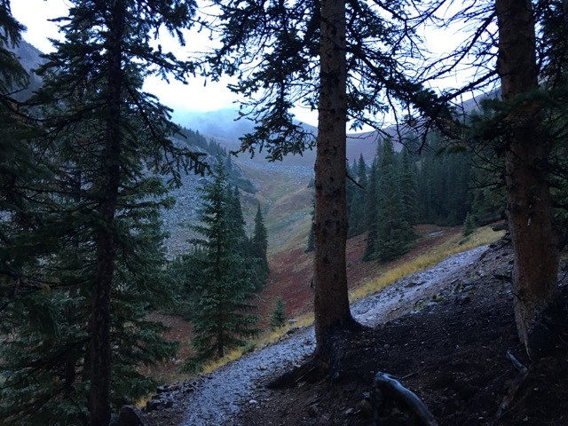
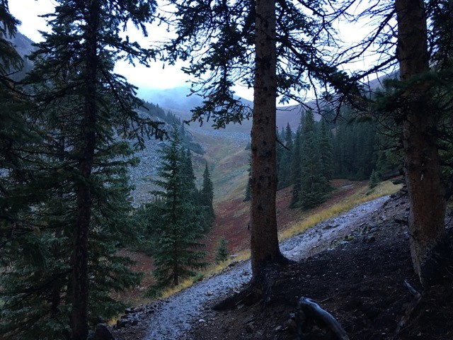
I woke up around 4:30 am, and got moving around 5 am. I was not happy with the weather at the start. Although it had stopped raining over night, it was sprinkling again at 5 am. My targets for the day were Mt Hope A and Quail Mtn. I ignored the rain and started up the trail anyway. I was just hoping that it would burn off once the sun came out. As I continued up the trail, it started raining hard enough that i had to put on my rain jacket. I started out in just a fleece, which was plenty warm, but I could not afford to soak my layers. With the rain jacket and fleece both on, I got toasty quick. So, I had to stop again and shed the fleece. I was a bit worried about the amount that I had sweated, but as I continued up, it cooled off, and I eventually dried out. I quickly learned to love the large pine trees. The bigger trees were great cover from the rain. Even though I was well covered from the rain, it was mentally draining to have the pitter patter continuously tapping on my outer shell. Wet trail in the morning Hope Pass
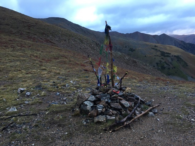
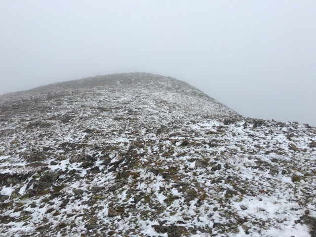
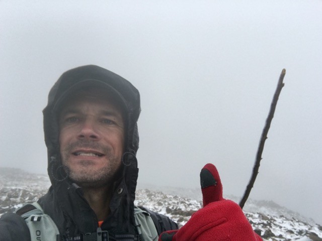
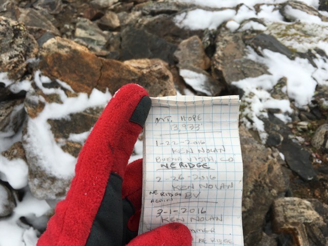
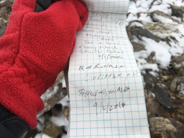
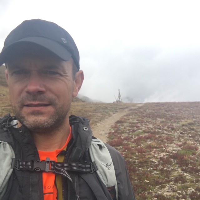
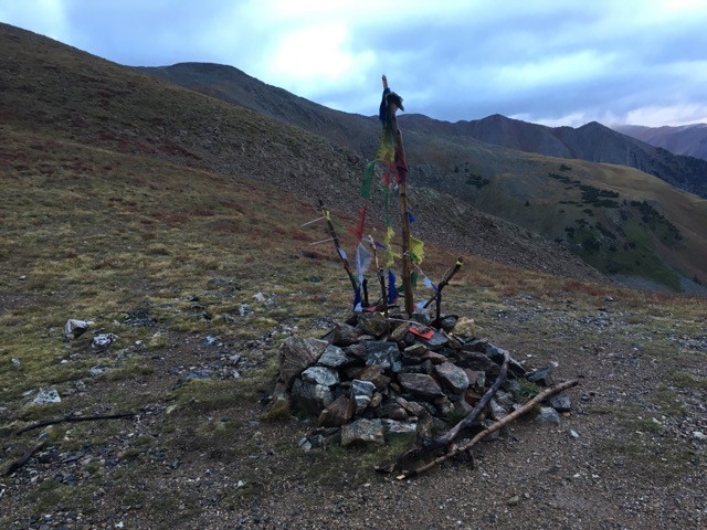
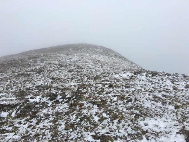
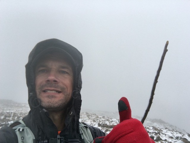
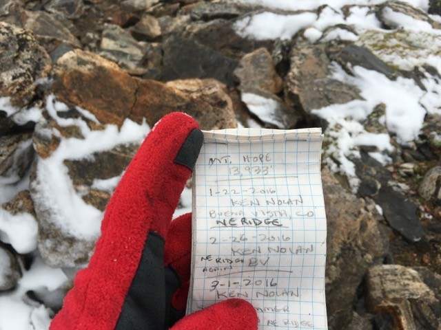
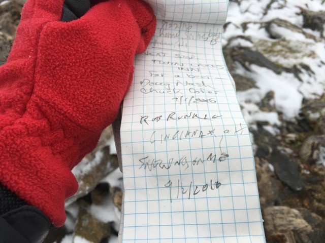
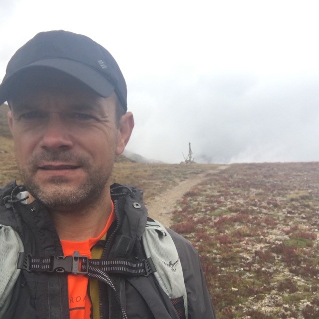
Luckily the rain never really got any worse. And, I even got a few short breaks from rain as I made my way up towards Hope Pass. The route up Hope Mtn, from Sheep gulch is pretty simple. The first section is a solid trail up to Hope Pass. from Hope Pass, you just turn left, up the ridge, until you hit the summit. I made it to Hope Pass in just over 2 hours. The distance to Hope Pass was just under 3 miles. The remaining route to the Summit of Hope would another mile of class 2+ climbing. Mother Nature decided to add a little spice to my climb. The rain that had been haunting me all morning had made the rocks extremely slippery. The visibility ad also dropped to less than 50 feet. I had my GPS, with a solid "track," so I would never be far off route. But, having limited visibility definitely slowed me down. It is a lot easier to route find, when you can actually see the route. I started up the ridge, and found myself getting off route, often. I was always able to recover, usually by up-climbing a nasty, loose dirt gully. Honestly, it probably wouldn't have made much of a difference if I could see the route. I tend to be a magnet for loose scree gully climbing. "The loose gullys call me." As I got higher in elevation, the rain turned to snow, and the rocks got more slick. I was actually a bit concerned about how my descent would go. I knew I could make it down, but I was worried that my descent would be miserable and slow. Multiple times, I considered turning around, just to avoid putting myself into a deeper and deeper hole of commitment. Before I knew it, I was on top of the ridge. Of course, with limited visibility, I didn't know I was on the top, but it flattened out, and got a lot easier. I continued along the top, and was shocked when I finally arrived on the Summit of Mt Hope. I really thought that I had more nasty class 2+ ahead of me. But, the top was easy, and relaxing. I made the summit, from Hope Pass in around 1 hour 40 minutes. That was one long, slow mile. I only stayed on the summit for a few minutes, took a few pictures, then headed back down. Hope Summit Me on Hope Summit Hope Register Hope Register
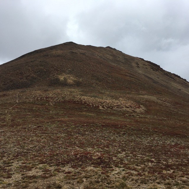
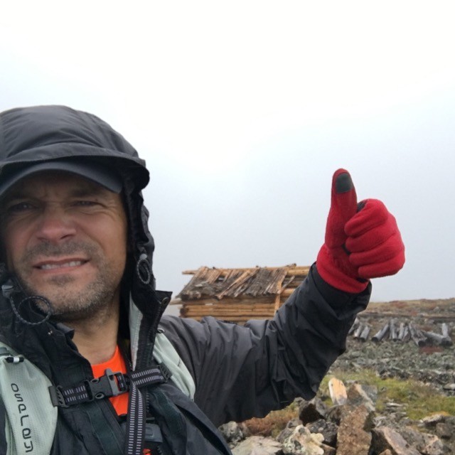
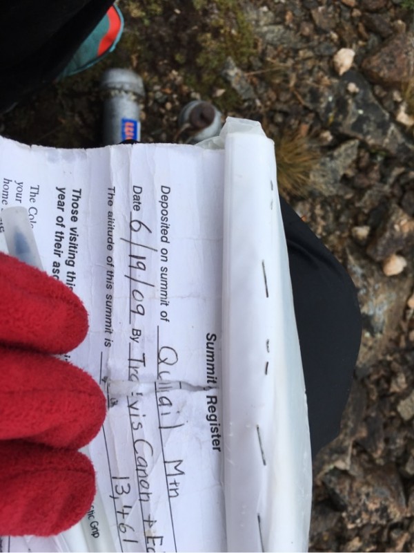
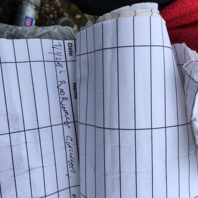
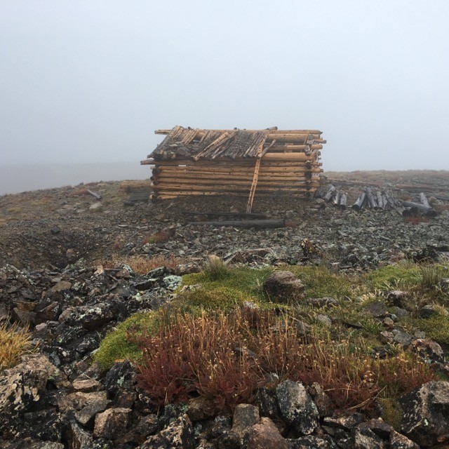
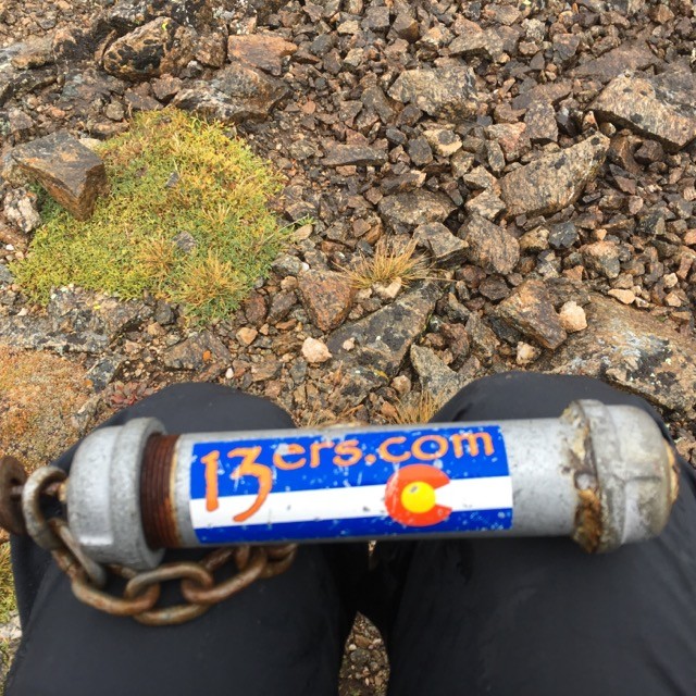
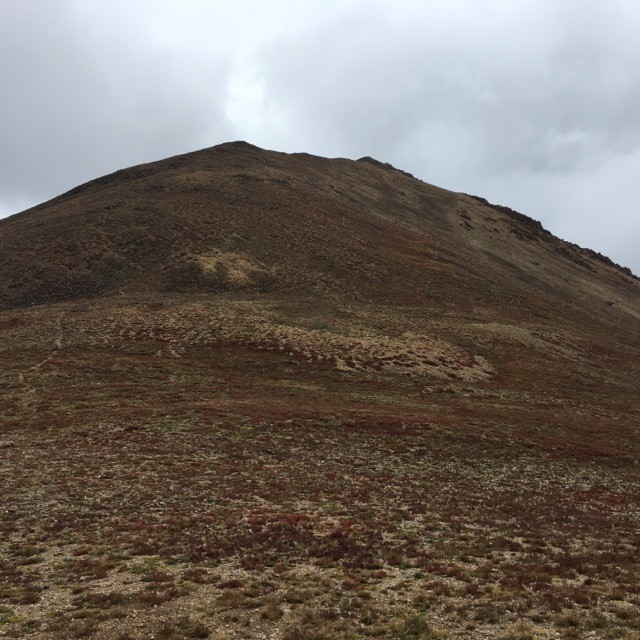
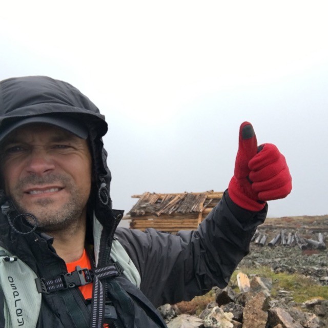
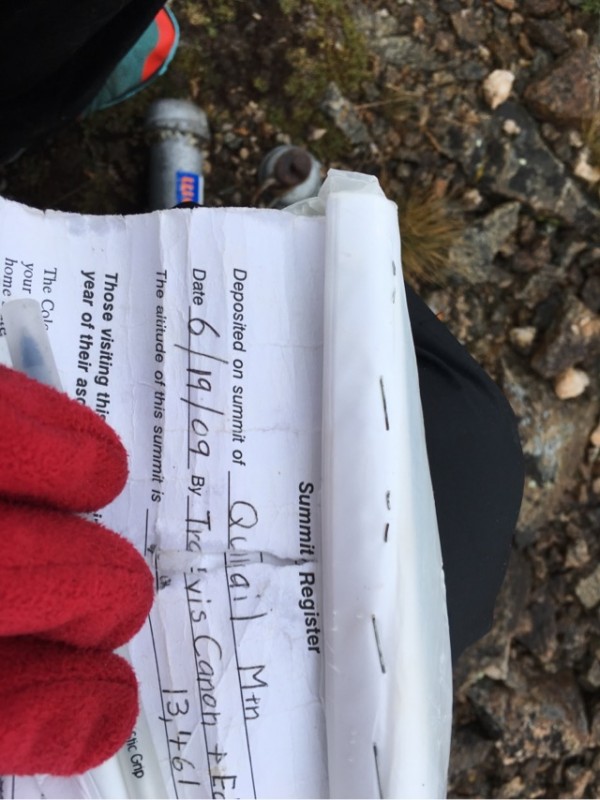
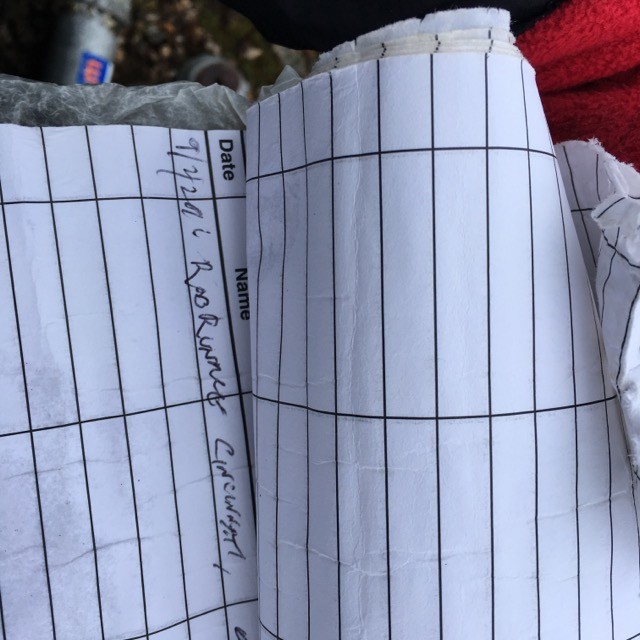
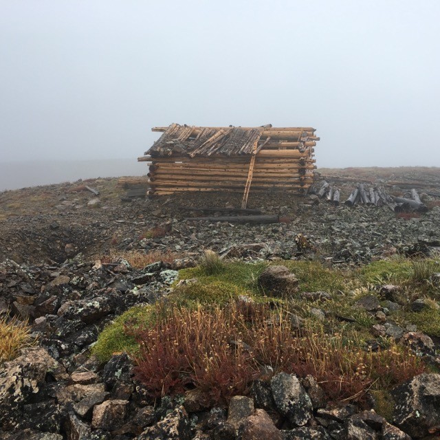
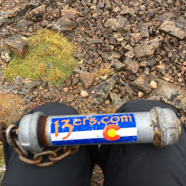
The descent was surprisingly easy. I made it back to Hope Pass in a few minutes over an hour from leaving the summit. The advantage of gravity canceled out the slowness of walking on slick rock. Plus, as I descended, I got warmer, and that gave me a mental boost. I had planned on also grabbing Quail Mtn, a shorter 13er. I did not want to upset Mother Nature - by taking too big of a bite today - but I figured that she wouldn't mind if I took one more small nibble. So, I started up Quail from Hope Pass. The route up Quail was much easier than the Hope Ridge. The only thing that slowed me down going up Quail was my own lack of acclimatization on day 1 in Colorado. I ultimately made it to the Summit of Quail in just under 45 minutes. It was chilly on Quail, but I was able to take a bit of cover in some old mining cabins that were on the summit. I hung out on Quail a bit longer, ate some food, drank some fluids, signed the register, and took a few more pictures. I spent around 15 minutes on Quail, then headed back down the ridge, towards Hope Pass. Quail Ridge Me on Quail Summit Quail Register Quail Register Quail Summit Shelter Quail Summit Register Anchor Me Descending Hope Pass
I made it back to Hope Pass in just under 30 minutes. Again, gravity was my friend. I took one more final break at Hope Pass. I spent 10 minutes snacking and rearranging my layers for a fast, and warm descent. I wanted to descend quickly, and did not want to build up a sweat. After my final break, I started booking down the Hope Pass Trail. At this point, the skies had stopped tormenting me. The sun was still hiding in the clouds, but the rain had stopped. I made good progress down the trail, and got back to the trail head in just under an hour. Gravity is my best friend, especially on day 1. Overall, I was pretty happy with day 1; 9.1 miles, and just over 5,000 feet of elevation gain/loss in around 7 hours 23 minutes.
My next goal was to meet up with my buddy Jeff, so that we could climb Grizzly Peak tomorrow. I guess that Jeff also had other plans that I did not know about. I drove into Buena Vista, got something to eat, took a nap, and checked into the local laundry mat for a well needed shower. Soon after my shower - around 6 pm - Jeff texted me and told me he was 2 minutes outside of BV. I excitedly waited for my friend, whom I hadn't seen in a few years. When Jeff arrived, we chatted a bunch. As we decided to head to the trail head, Jeff said, "Do you want to do a couple 13ers up by Independence Pass?" I said, "Today??" I knew that Jeff could see my skepticism. But, Jeff also knew my passion for major endurance challenges. Doing a couple 13ers after dark, on day 1 would be a great challenge, and Jeff knew it. Jeff is also a bit of an endurance junkie. So, I responded to Jeff, and said, "Sure, but you are going to have to lead, because, I have no idea which peaks you are talking about. Also, how much are we talking about." Jeff said that he would definitely lead, and that we were looking at only 3 miles round trip, and maybe 1,500 feet of elevation gain. I said, "Let's do it!" We jumped into our cars, and headed towards Independence Pass.
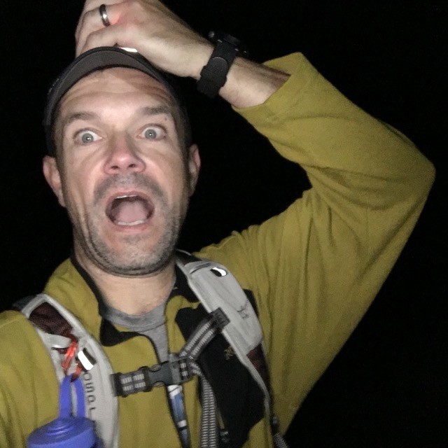
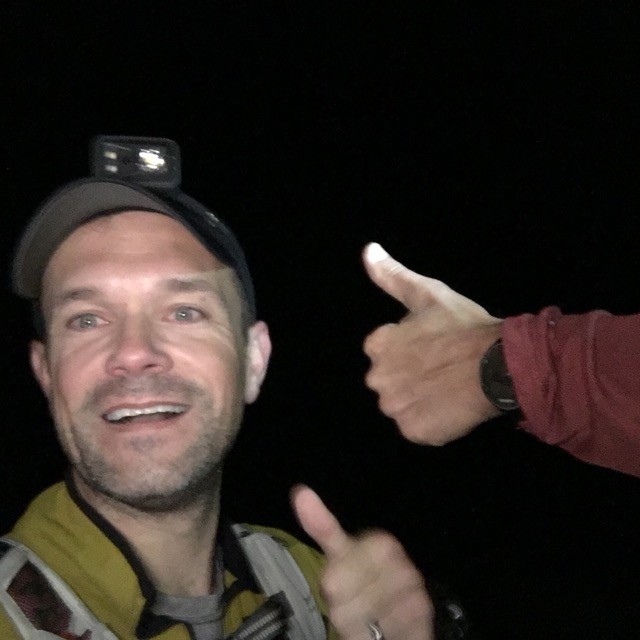
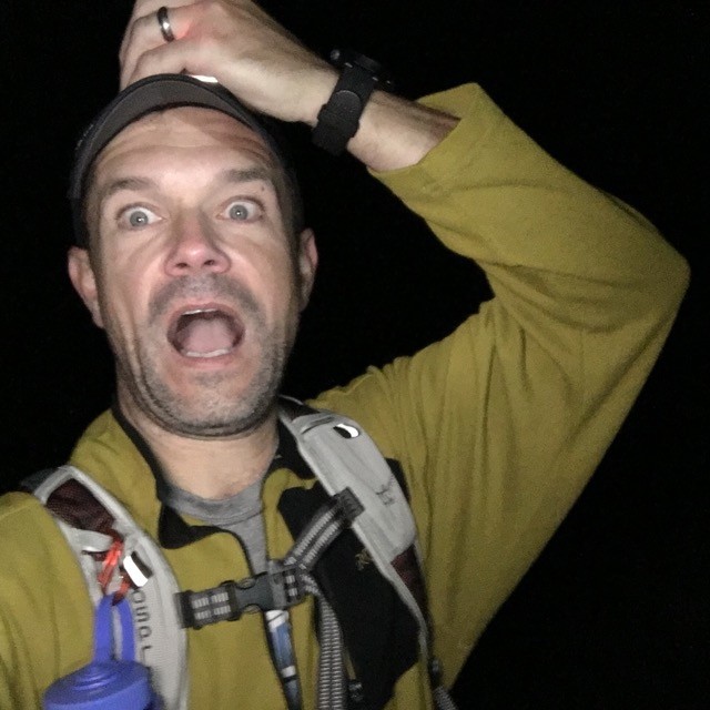
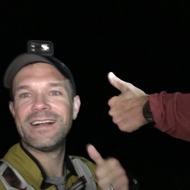
Based on Jeff's description for short distance, I knew that the trail head had to be right at the top of the pass. And, I was right. I ran the numbers in my head (3 miles and 1,500 feet) during the 40 minutes drive to the trail head, and I just could not get those numbers to register. They just seemed unrealistic. We would find out at the end of the hike, Jeff was off by a little bit. We started our hike at 8 pm. The sun was gone, and our headlamps were on. It was a very pleasant hike. Jeff and I were able to catch up as we chatted the whole way. We made the summit of Pt 13,500 in just under an hour. We spent almost no time on the summit; just enough time for me to take a cheese night time selfie. We continued towards Twining Peak. I should mention at this point that the lower trail was pretty easy to follow. But, once we got near the summit, it was very rocky, and we had to rely 100% on Jeff's GPS track. We made the summit of Twining in 35 minutes. At this point, it was clear that our round trip was going to be closer to 4 miles (and probably 3 hours round trip). I took another cheesy selfie, this time a thumbs up from Jeff. 3 minutes later, Jeff and I started back towards Pt 13,500. We crossed back over Pt 13,500, hit the lower trail, and ultimately made it back to the trail head in an hour, 20 minutes, from Twining Summit. Ultimately, our night time adventure was 3 hours, 4 miles, 2,184 feet of elevation gain/loss. My calves were tired, but I knew that it would not bother me for our hike in the morning. I was excited to have gotten four 13er peaks on day 1, from two different trail heads. It was also great to have a great night time adventure with my buddy. Jeff and I jumped back into our cars, and made the drive to the McNasser Gulch Trail head, including 6+ miles of crappy 4WD driving at night. We made the trail head around midnight, and both of us decided to sleep in our cars. Day 1, complete!! Me on Pt 13,500 Me on Twinning Summit with Thumbs up from Jeff
GPS Track(s) on Google Maps (made from a .GPX file upload):
It was a perfect day for me on Hope & Quail last week. Ken Nolan was getting the grid going rather earnestly wasn't he. You need to work on your penmanship when you sign in! :lol: I laughed a little when I saw that reg on Quail, hard to get it back in there. Loved the huts too but disappointed there wasn't any hot chocolate and donuts! You sure did get some peaks climbed, way to hustle, very envious!
Cool to see you were back in September to hit more 13ers! Time has been flying along. I want to do Mt. Hope and QUail one of these days.
Cheers!
Craig Nelson
Caution: The information contained in this report may not be accurate and should not be the only resource used in preparation for your climb. Failure to have the necessary experience, physical conditioning, supplies or equipment can result in injury or death. 14ers.com and the author(s) of this report provide no warranties, either express or implied, that the information provided is accurate or reliable. By using the information provided, you agree to indemnify and hold harmless 14ers.com and the report author(s) with respect to any claims and demands against them, including any attorney fees and expenses. Please read the 14ers.com Safety and Disclaimer pages for more information.
Copyright: Route information, text, risk factors, maps, GPX files, charts, photos, 14ers.com-created map imagery, flythroughs, and other content provided in this route description are copyrighted by 14ers.com and may not be copied, reproduced, republished, distributed, modified, or used to create derivative works without prior written permission.
Please respect private property: 14ers.com supports the rights of private landowners to determine how and by whom their land will be used. In Colorado, it is your responsibility to determine if land is private and to obtain the appropriate permission before entering the property.