Download Agreement, Release, and Acknowledgement of Risk:
You (the person requesting this file download) fully understand mountain climbing ("Activity") involves risks and dangers of serious bodily injury, including permanent disability, paralysis, and death ("Risks") and you fully accept and assume all such risks and all responsibility for losses, costs, and damages you incur as a result of your participation in this Activity.
You acknowledge that information in the file you have chosen to download may not be accurate and may contain errors. You agree to assume all risks when using this information and agree to release and discharge 14ers.com, 14ers Inc. and the author(s) of such information (collectively, the "Released Parties").
You hereby discharge the Released Parties from all damages, actions, claims and liabilities of any nature, specifically including, but not limited to, damages, actions, claims and liabilities arising from or related to the negligence of the Released Parties. You further agree to indemnify, hold harmless and defend 14ers.com, 14ers Inc. and each of the other Released Parties from and against any loss, damage, liability and expense, including costs and attorney fees, incurred by 14ers.com, 14ers Inc. or any of the other Released Parties as a result of you using information provided on the 14ers.com or 14ers Inc. websites.
You have read this agreement, fully understand its terms and intend it to be a complete and unconditional release of all liability to the greatest extent allowed by law and agree that if any portion of this agreement is held to be invalid the balance, notwithstanding, shall continue in full force and effect.
By clicking "OK" you agree to these terms. If you DO NOT agree, click "Cancel"...
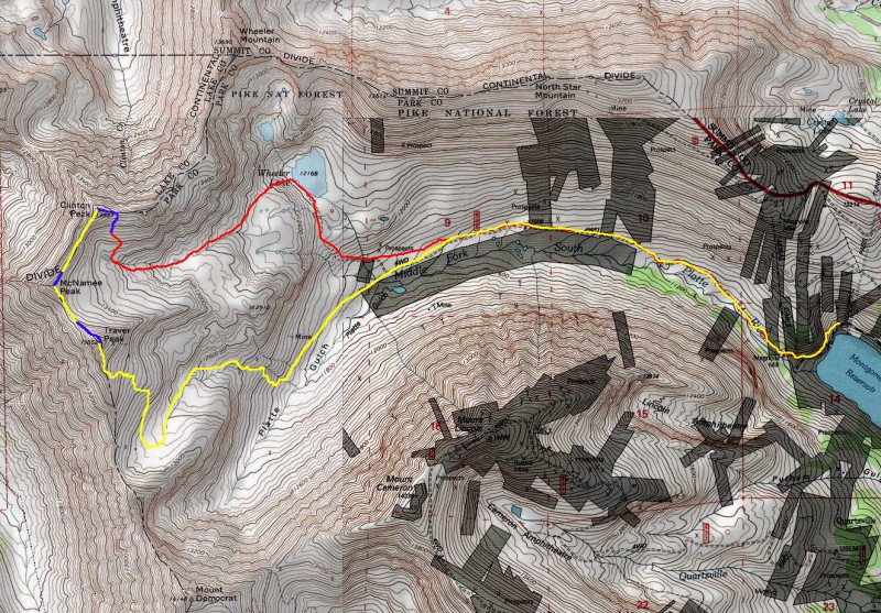
Date: Friday, 3/11/2016 Trailhead: Mongomery Reservoir Elevation Gain: 3,300' RT Distance: ~12 miles RT Time: ~8 hours (thanks to a 3,200-foot ski descent)
Another weekday where I couldn't find a partner so I decided to take advantage of the calm, sunny forecast and finally get these three, easy peaks in calendar winter. Avalanche ratings are still at green but I knew the south slopes of Clinton and McNamee would be heavily-loaded so I didn't expect to get more than a ridge ski on the first two peaks. My main goal was to ski the southeast slopes of Traver Peak. It's a large, mellow slope which would provide an excellent end to a tour of the area.
Red=skin, Blue=boot, Yellow=ski
Approach to Wheeler Lake
If you've ever been up the Platte Gulch road on a summer weekend, you know how busy it can be; Jeeps, ATVs, UTVs and hikers galore. Well, not today! In 12 miles round-trip, I didn't see another person or even fresh tracks beyond the lower road. It wasn't until I returned to the reservoir that I could hear some ice climbers talking up on the Lincoln Ice Falls.
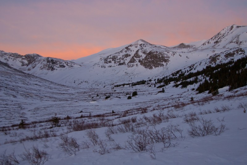
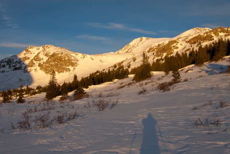
So, at 5:15am I was on my way up the road. After 2 miles of skinning, the sun finally started to come up.
Skinning into Platte Gulch.
Morning light. Traver is on left and McNamee center.
A beautiful morning.
Once I reached the point where the road turns up to Wheeler Lake, the day was in full swing. Before heading up to the lake, here's the view of Mt. Democrat:
Looking southwest to Mt. Democrat before turning north up toward Wheeler Lake.
At 7:30, I was at Wheeler Lake. Complete silence.
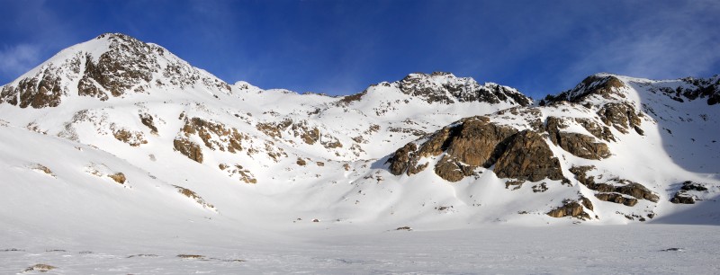
Wheeler Lake and Wheeler Mountain (center).
To Clinton Peak
I passed along the west shore of the lake and located a slope where I could safely skin to the upper basin. In the following pic, you can see my skin track where I can up from the lake.
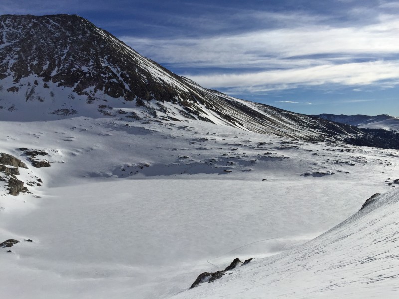
Looking back at North Star Mtn and the lake after ascending west.
Another look back at North Star Mtn
In the high basin, heading west toward Traver Peak. Somehow, someone got a snowmobile up here a few weeks back.
Traver (left) and McNamee (the small point just right of center).
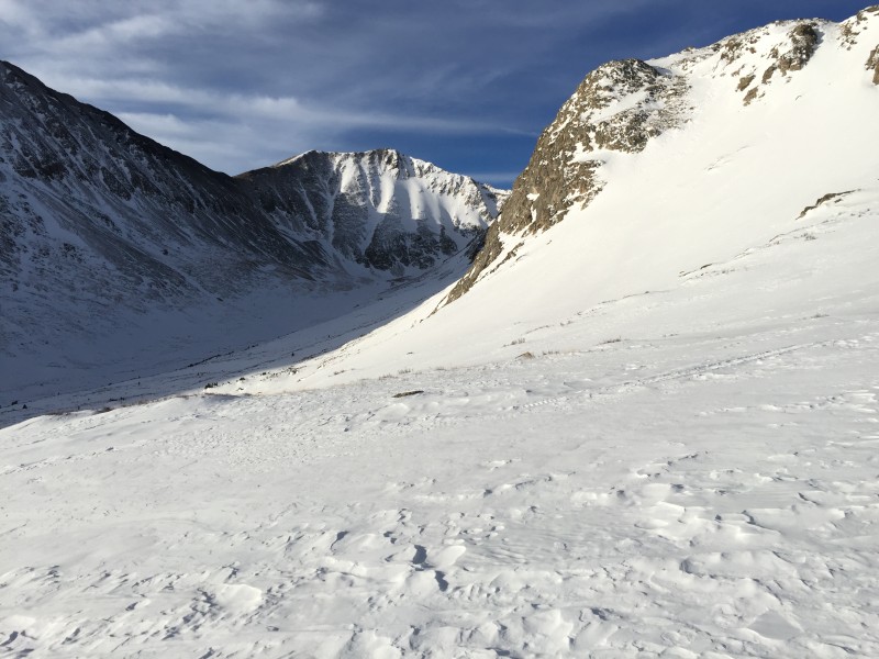
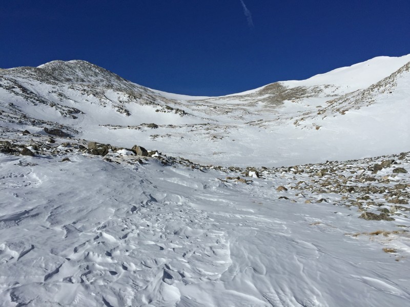
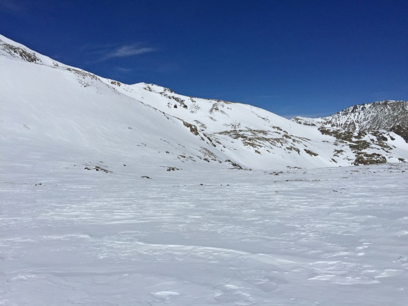
Near 13,300', I finally reached the bowl below the three peaks.
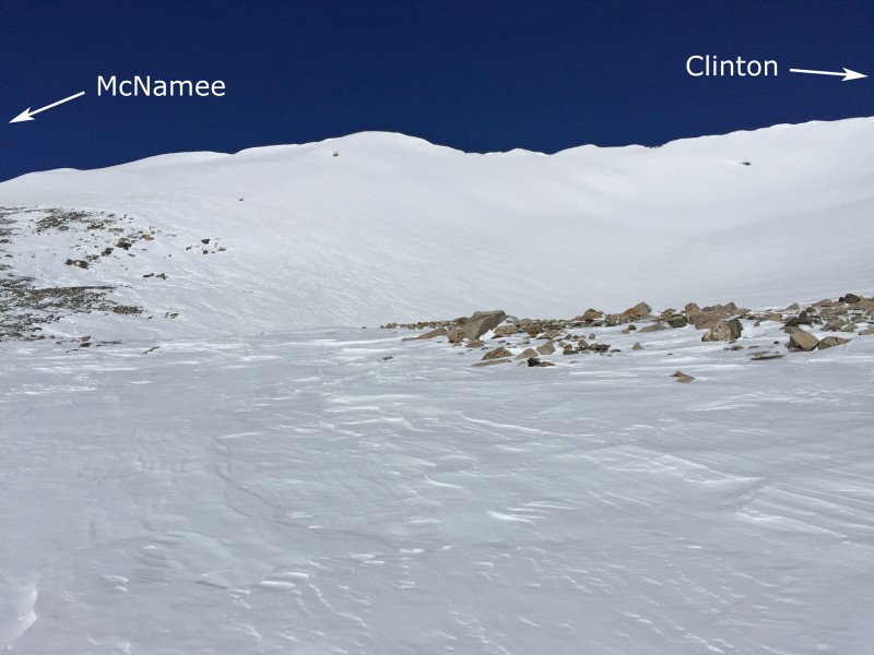
Skinning northwest with the McNamee-Clinton connecting ridge in full view.
I turned right and continued north to see that there was a safe line to skin up the right side of Clinton's south slope. I continued up semi-steep terrain to reach 13,600' before finishing with a short boot to reach the ridge, just east of Clinton's summit.
Near 13,300', I turned N/NE and began my ascent of Clinton's south slope.
Above 13,600'.
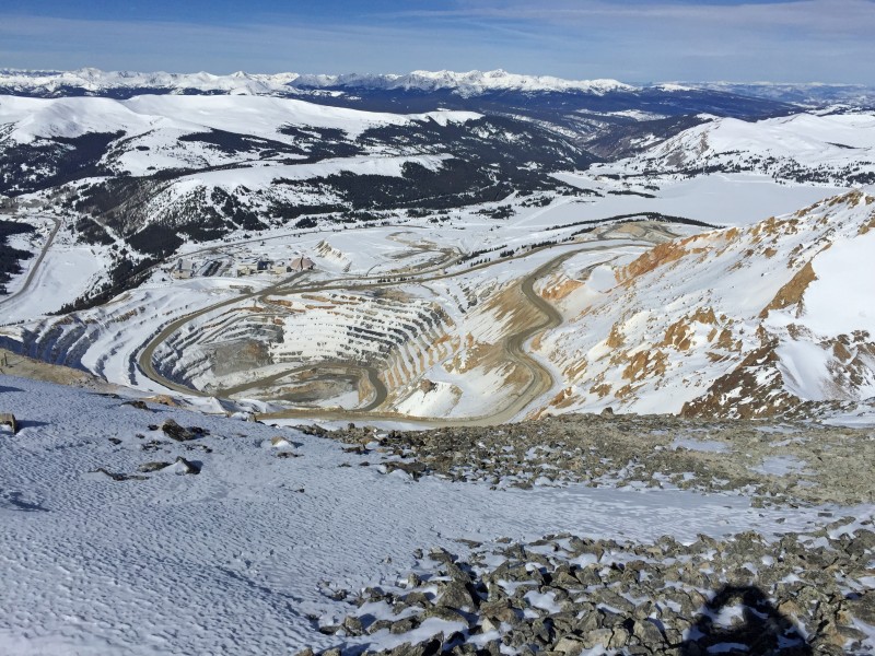
As soon as I arrived at Clinton's summit... The dull roar of trucks and machinery running down in the Climax Mine
On the summit of Clinton, looking over the Climax mine "Glory Hole." ;)
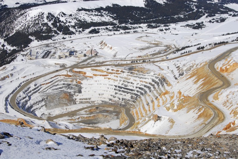
This hole deserves a closer look!
To McNamee
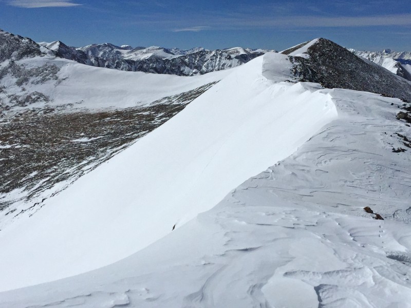
Clinton was the only one of these three that I had skied in the past so I wasn't even going to consider a line down the loaded slope between Clinton and McNamee. Instead, I did a boring ridge ski over to McNamee. Boring but not without risk - it involved quick turns to keep from getting too close to the long cornice. Once I was close to McNamee, I shouldered the skis and booted to the summit.
The ridge to McNamee.
Skiing along the ridge. Sad.
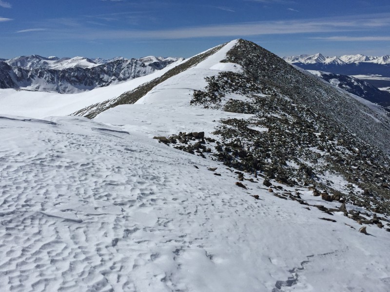
Approaching McNamee's summit.
Looking back at the traverse from Clinton.
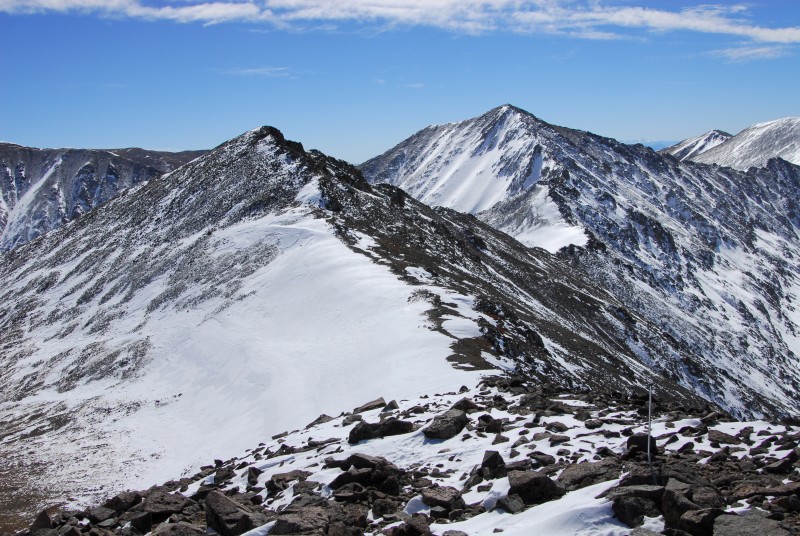
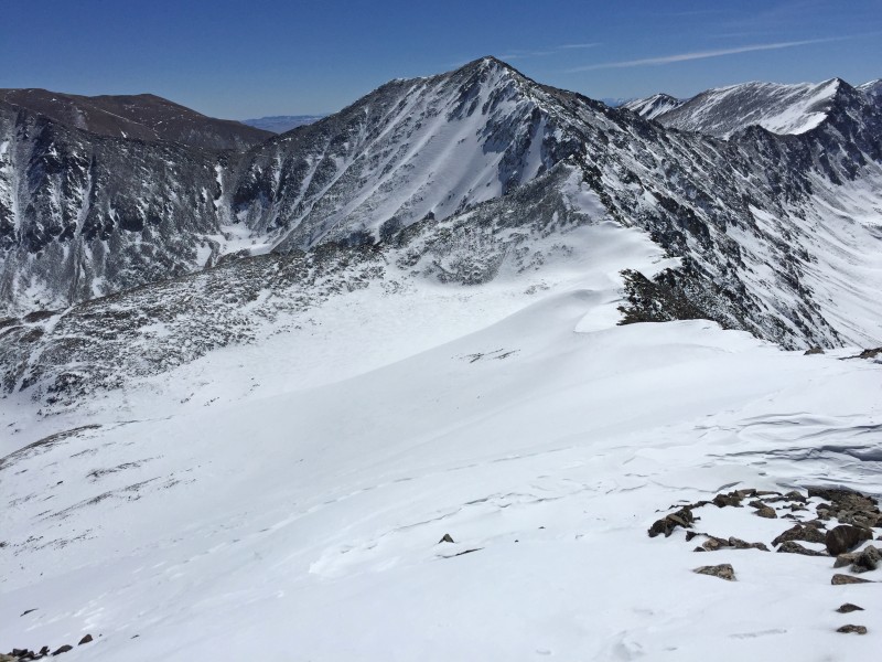
On the summit of McNamee, looking SE to Traver.
To Traver
Albeit short, the ski down to the McNamee-Traver saddle was fun. The snow was firm with some sections of blown-in powder.
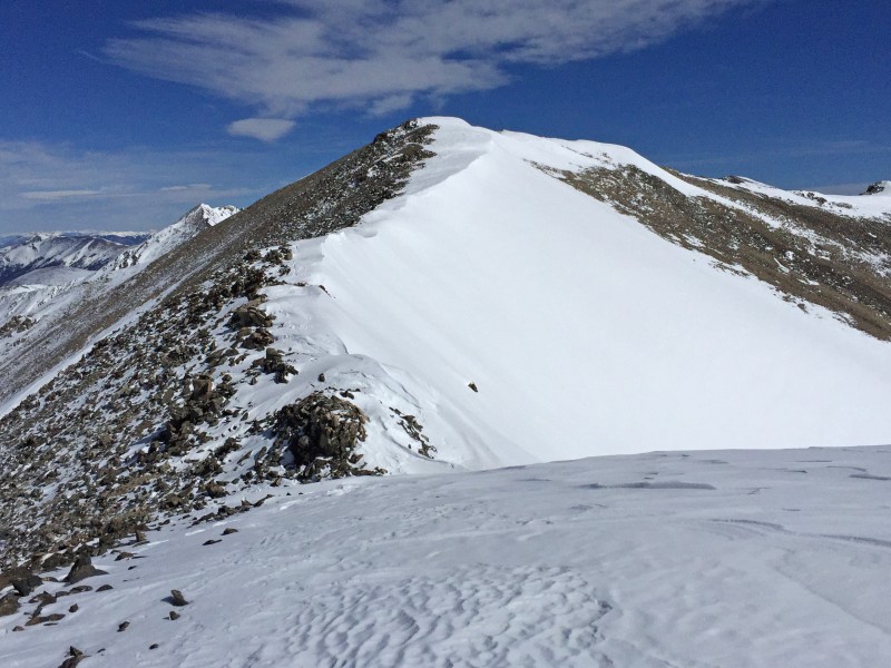
Looking back at McNamee after skiing the south ridge.
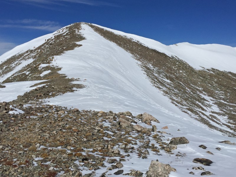
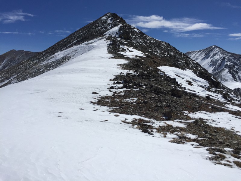
Next up, the boot up Traver.
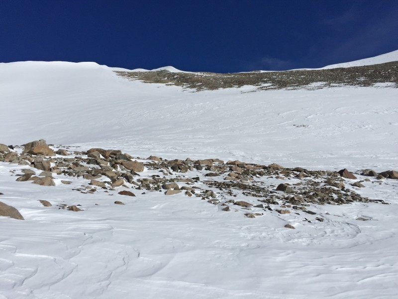
The climb of Traver is the crux of the route because of rocky terrain near the summit. I put the skis on my pack and made quick work of the ridge until I hit the rock section. I went around to the left and fought bottomless snow (between the rocks) to reach the summit.
This stuff is "fun" in ski boots.
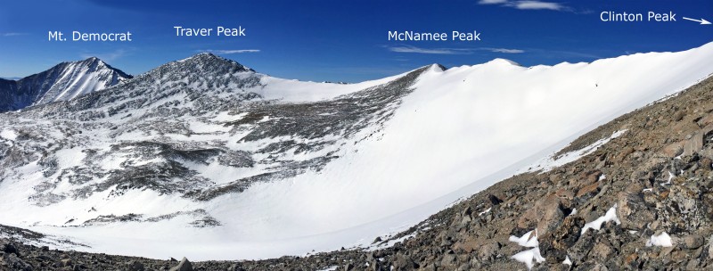
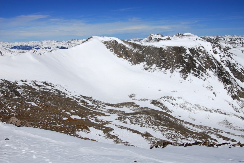
On Traver's summit, looking north to Clinton Peak.
The views of the Lincoln 14er group are pretty sweet.
The view of Mts Lincoln, Cameron and Democrat.
The Prize
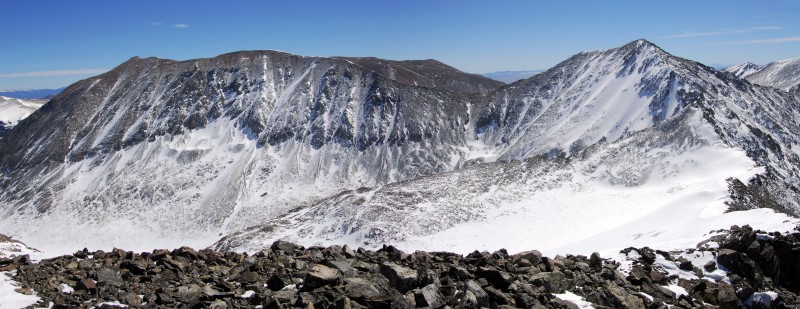
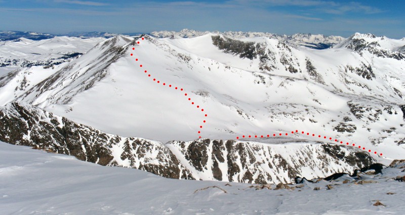
Finally, some solid skiing was ahead. I took a few steps down from the summit, put on the skis and scoped out a line on Traver's southeast slopes. There was plenty of snow but a few areas were clearly loaded and need to be avoided. I skied about 200 feet down along the left side of the ridge before cutting left into the slope and letting them ride.
The following photo was taken from Mt. Democrat in 2015 and shows the approximate line of my ski descent off of Traver.
The line off of Traver.
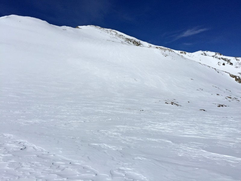
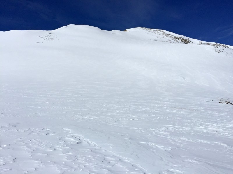
Starting the ski down Traver's SE slope.
Not bad!
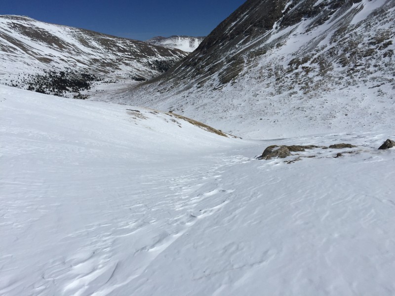
I skied down to 12,700', in a hanging basin between Traver and Mt. Democrat, before skiing northeast->east down a drainage which dumped me into upper Platte Gulch, near 11,900'.
The ski out was a lot of fun and continuous.
Exiting a high basin to regain Platte Gulch.
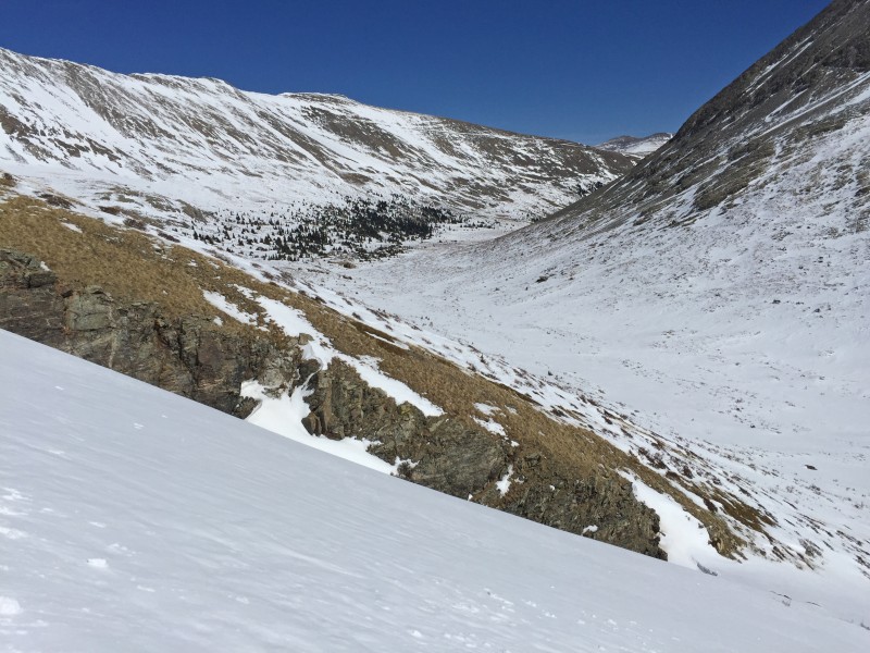
Back to upper Platte Gulch.
Before reaching the center of Platte Gulch, skied northeast along the left (west) side to return to my approach line.
Skiing back out of lower Platte Gulch.
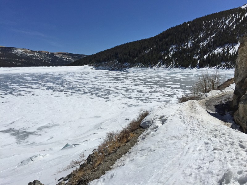
Almost back at the trailhead, on the road around the reservoir.
Very Nice Trip Report! Great photographs too. Love the ridge line shots. Thanks for putting this together. Fantastic work with the multi-summit endeavor. Making it look easy out there sir. Cruise Control
Went up for traver today. Your maps really help. Speaking of maybe you can give advice on how to upload google maps and distinguish skin from ski. I'll post in the forum.
for the Beta. Its rough out there this year. That El Nino guy is full of shit.
Caution: The information contained in this report may not be accurate and should not be the only resource used in preparation for your climb. Failure to have the necessary experience, physical conditioning, supplies or equipment can result in injury or death. 14ers.com and the author(s) of this report provide no warranties, either express or implied, that the information provided is accurate or reliable. By using the information provided, you agree to indemnify and hold harmless 14ers.com and the report author(s) with respect to any claims and demands against them, including any attorney fees and expenses. Please read the 14ers.com Safety and Disclaimer pages for more information.
Please respect private property: 14ers.com supports the rights of private landowners to determine how and by whom their land will be used. In Colorado, it is your responsibility to determine if land is private and to obtain the appropriate permission before entering the property.


 Skinning into Platte Gulch.")
 Morning light. Traver is on left and McNamee center.")
 A beautiful morning.")
 Looking southwest to Mt. Democrat before turning north up toward Wheeler Lake.")
 Wheeler Lake and Wheeler Mountain (center).")
 Looking back at North Star Mtn and the lake after ascending west.")
 Another look back at North Star Mtn")
 In the high basin, heading west toward Traver Peak. Somehow, someone got a snowmobile up here a few weeks back.")
 Traver (left) and McNamee (the small point just right of center).")
 Skinning northwest with the McNamee-Clinton connecting ridge in full view.")
 Near 13,300', I turned N/NE and began my ascent of Clinton's south slope.")
 Above 13,600'.")
 On the summit of Clinton, looking over the Climax mine")
 This hole deserves a closer look!")
 The ridge to McNamee.")
 Skiing along the ridge. Sad.")
 Approaching McNamee's summit.")
 Looking back at the traverse from Clinton.")
 On the summit of McNamee, looking SE to Traver.")
 Looking back at McNamee after skiing the south ridge.")
 Next up, the boot up Traver.")
 This stuff is")
 On Traver's summit, looking north to Clinton Peak.")
 The view of Mts Lincoln, Cameron and Democrat.")
 The line off of Traver.")
 Starting the ski down Traver's SE slope.")
 Not bad!")
")
 The ski out was a lot of fun and continuous.")
 Exiting a high basin to regain Platte Gulch.")
 Back to upper Platte Gulch.")
 Skiing back out of lower Platte Gulch.")
 Montgomery Reservoir and the start of the hike.")
")


