Download Agreement, Release, and Acknowledgement of Risk:
You (the person requesting this file download) fully understand mountain climbing ("Activity") involves risks and dangers of serious bodily injury, including permanent disability, paralysis, and death ("Risks") and you fully accept and assume all such risks and all responsibility for losses, costs, and damages you incur as a result of your participation in this Activity.
You acknowledge that information in the file you have chosen to download may not be accurate and may contain errors. You agree to assume all risks when using this information and agree to release and discharge 14ers.com, 14ers Inc. and the author(s) of such information (collectively, the "Released Parties").
You hereby discharge the Released Parties from all damages, actions, claims and liabilities of any nature, specifically including, but not limited to, damages, actions, claims and liabilities arising from or related to the negligence of the Released Parties. You further agree to indemnify, hold harmless and defend 14ers.com, 14ers Inc. and each of the other Released Parties from and against any loss, damage, liability and expense, including costs and attorney fees, incurred by 14ers.com, 14ers Inc. or any of the other Released Parties as a result of you using information provided on the 14ers.com or 14ers Inc. websites.
You have read this agreement, fully understand its terms and intend it to be a complete and unconditional release of all liability to the greatest extent allowed by law and agree that if any portion of this agreement is held to be invalid the balance, notwithstanding, shall continue in full force and effect.
By clicking "OK" you agree to these terms. If you DO NOT agree, click "Cancel"...
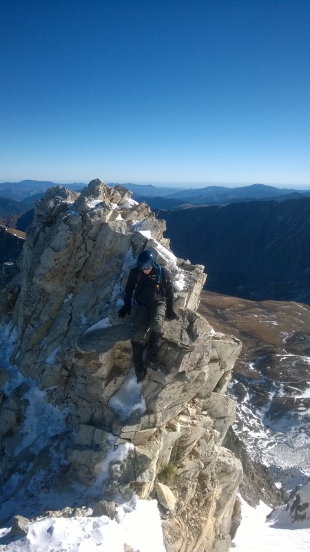
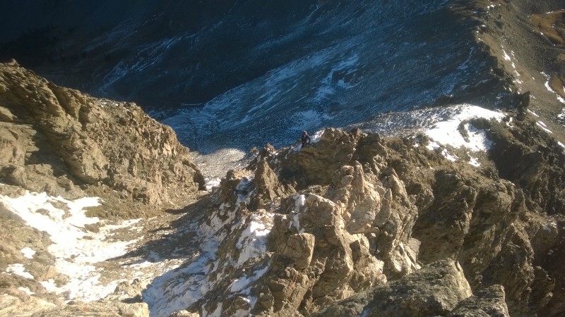
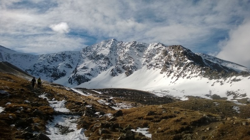
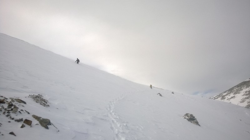
I first climbed Kelso Ridge with my Dad on July 5, 2000. Today (February 13, 2016), I climbed it for the 55th time and completed the monthly grid, having now climbed the route in all twelve months of the year. This is the first trip report I've written (so go easy on me!). My hope is that it might be useful to those who want to explore this route outside of the normal summer season (there are plenty of TRs covering climbs during the summer).
If you venture onto Kelso Ridge past Labor Day, here is an idea of what to expect (disclaimer - every year is different of course, so take these simply as samples of what you might find):
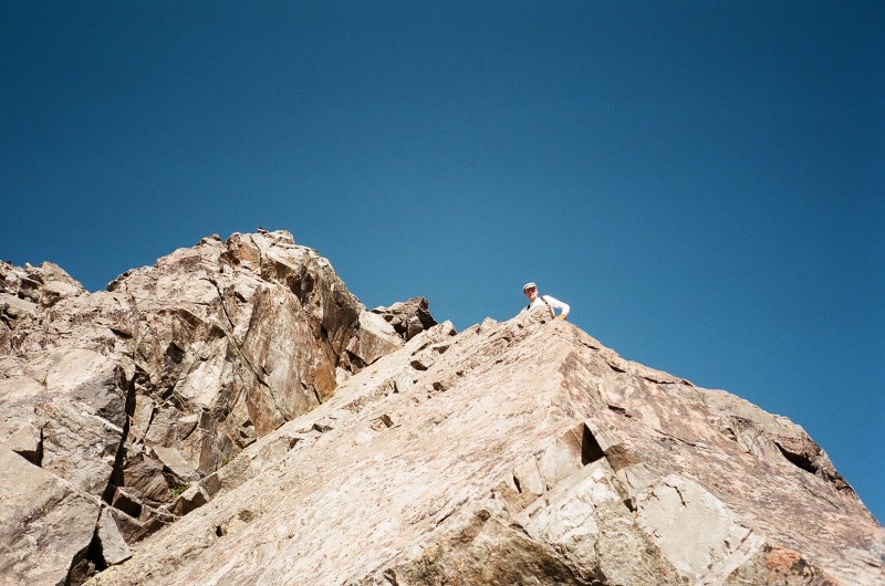
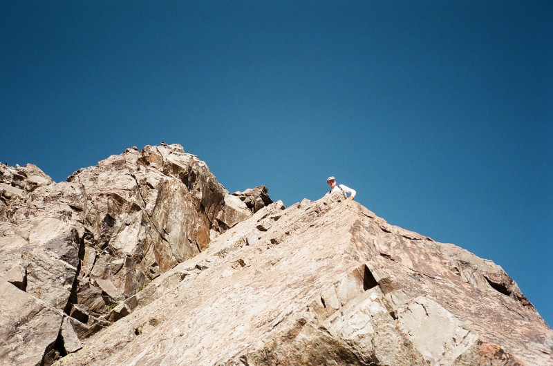
My Dad on our first Kelso Ridge climb on 7/5/2000
September:
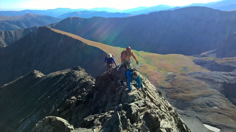
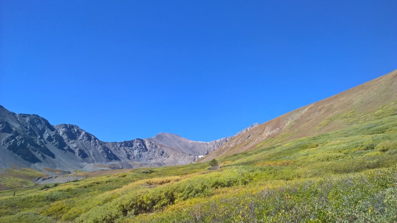
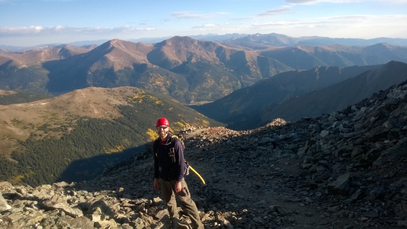
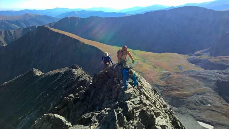
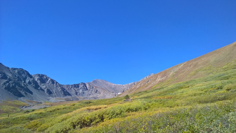
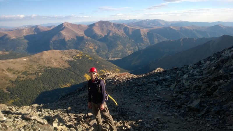
After Labor Day weekend, the crowds die down quite a bit and you might actually find yourself a parking spot somewhere near the summer trailhead. The first week or two of the month will probably still be summer-like conditions, perhaps with a refreshingly crisp morning. By mid-month, the tundra will be changing colors and your views from above will be showing signs of fall. In the latter half of the month, you might be lucky enough to look down towards I-70 and see some aspen trees changing colors. Don't be surprised if there is a little snow high on the route in September - things could be a touch slick, but most likely there won't be enough snow to bother you. In all likelihood, you'll be able to drive to the summer TH all month.
Tundra changing colors below the knife ridge on 9/11/2015Looking back towards Grays on 9/11/2015
Fall colors looking back towards Bakerville
October:
Expect some snow on the route in October and be prepared for the rocks to be a bit slippery in places on the north side of the ridge where they stay in the shade. You should still be able to access the summer trailhead no problem and most likely won't need snowshoes or spikes just yet.
White rocks just past the knife ridge in OctoberOctober dusting of snow
November:
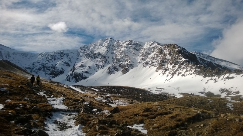
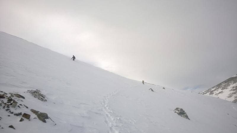
In most years, sometime in November you will no longer be able to access the summer TH. You might make it to the Y in the road, but you also very well might need to start your journey from I-70. Depending on recent snowfall, you might even need to don the dreaded snowshoes! Temperatures can be downright cold in November - bring your mittens and face protection. Snow continues to build in the high country. Kelso Ridge could have enough snow to warrant crampons, but the scariest part of my November ascent was crossing the face of Grays on the descent. We dug a snow pit to evaluate the layers and deemed it safe, but we were still plenty happy to be across the face. You'll be happy you have your microspikes as the Grays descent trail will most likely be windblown snow that can be slick.
Torreys in November after the descentCrossing the Grays face below the saddle.
December:
By December of most years, plan to start walking at I-70 and the Bakerville exit. The road will most likely be pretty well packed by snowmobilers and other hikers. Above the summer TH, you will need your snowshoes (unless you are much luckier than me). Kelso Mountain will most likely be starting to load up its avalanche chutes, so it's important to take the winter bypass (either up the creek bed from the bridge or by leaving the summer trail at about 11,750' and angling well below Kelso's dangerous slopes, rejoining the summer trail at the wooden sign just above 12,000').
The difficulty on the upper part of Kelso Ridge shifts a bit as the snow accumulates. You'll want your crampons with you. Whether or not you wear them will depend on current conditions. It is generally best to stay as close to the ridge crest as possible to avoid potential avalanche territory. The knife ridge becomes less scary as it gets much wider with the snow from Dead Dog hugging the climber's left wall.
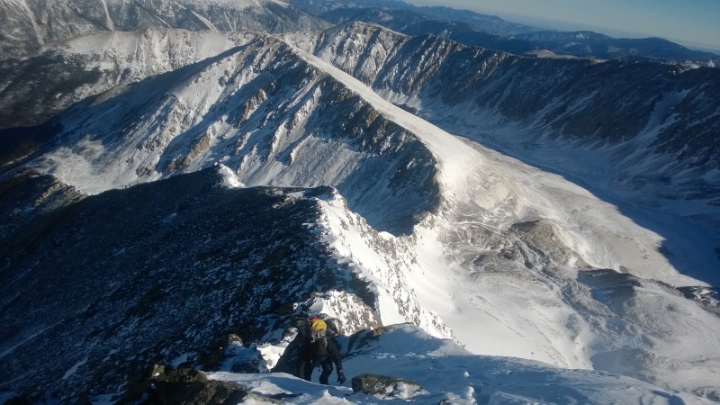
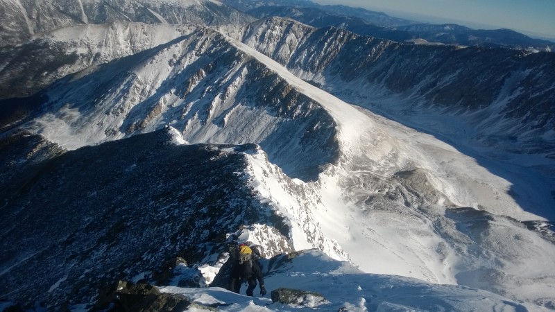
A December 2013 look at the knife ridge and finish to the summit. Dead Dog couloir is the steep snow chute.Looking back down the length of the ridge - December 2013
January
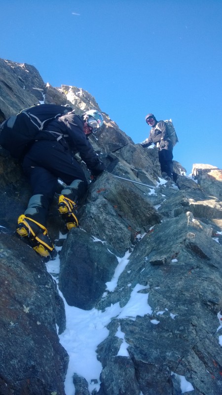
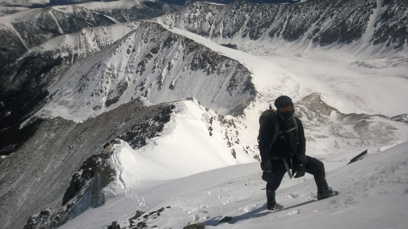
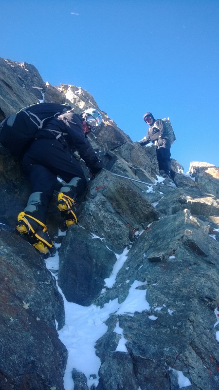
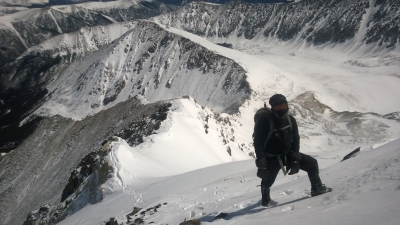
With so little daylight in January, you'll probably want to start walking the road from I-70 pre-sunrise to allow yourself ample time. Plan on at least 8 to 10 hours for winter ascents. Our January 2014 climb took us 8:21 round trip and we were moving well. As winter progresses, it's probably easier just to put your crampons on when you hit the ridge and keep them on. It can be a bit tricky and awkward when you hit the rocky sections though.
Climbing the wall just below the knife ridge in January 2014 while donning crampons.
February
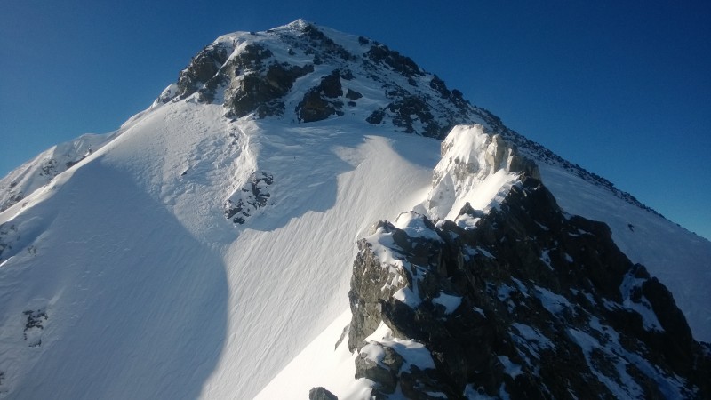
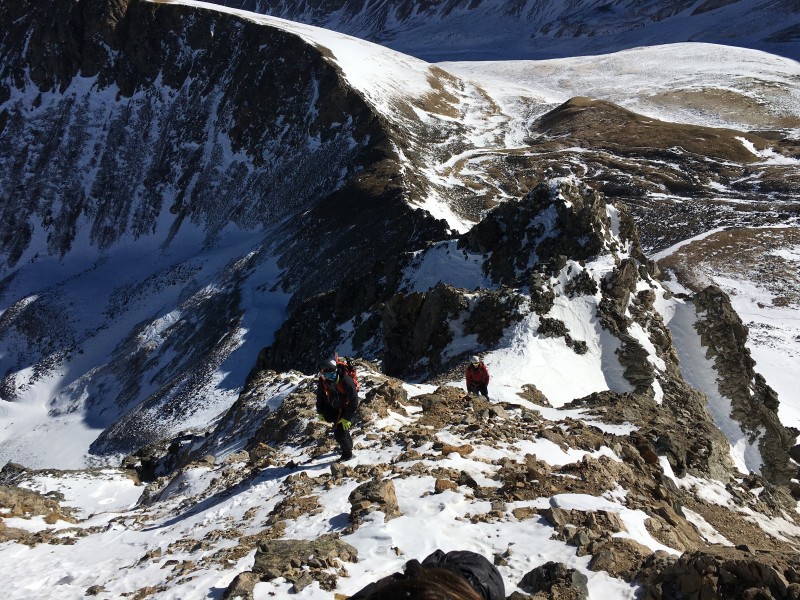
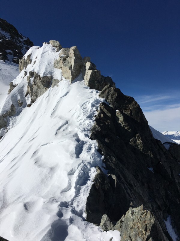
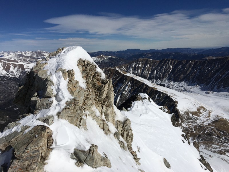
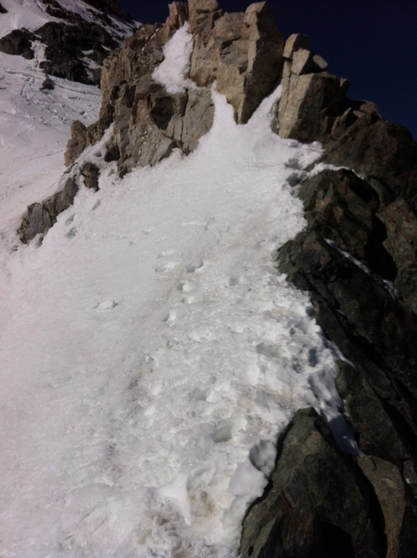
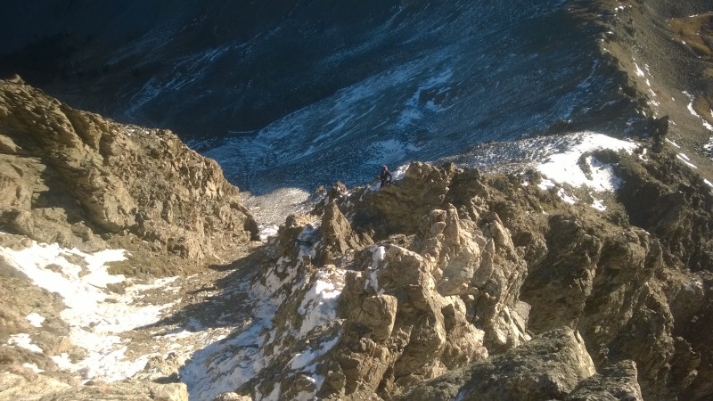
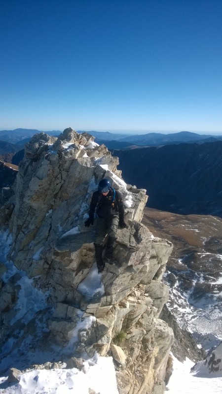
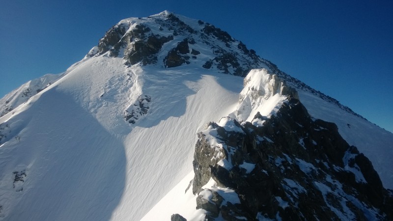
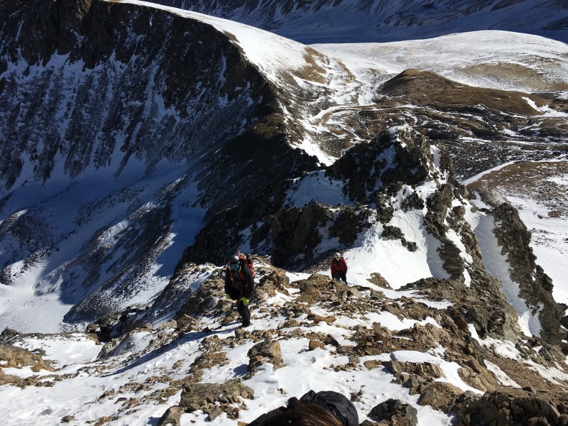
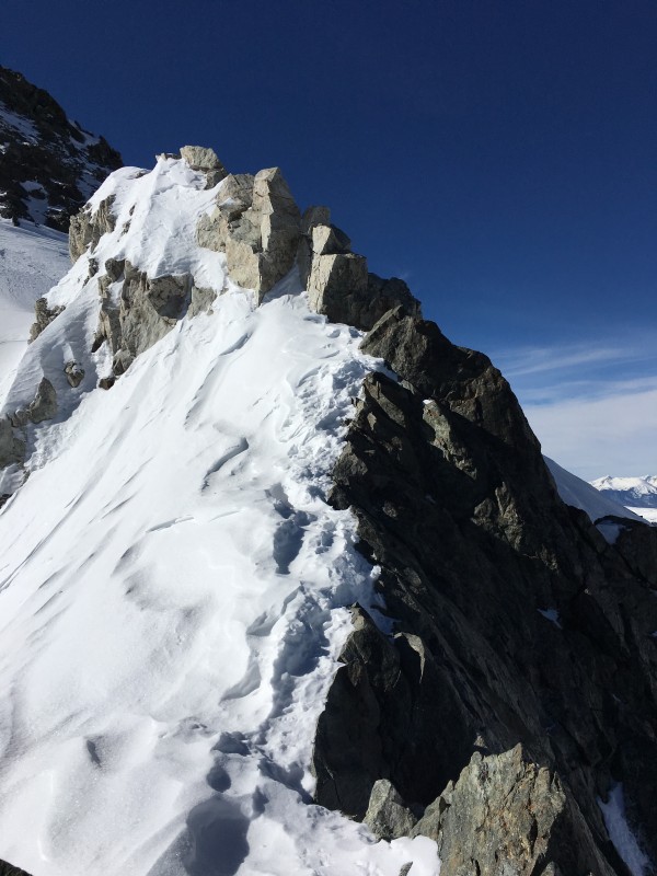
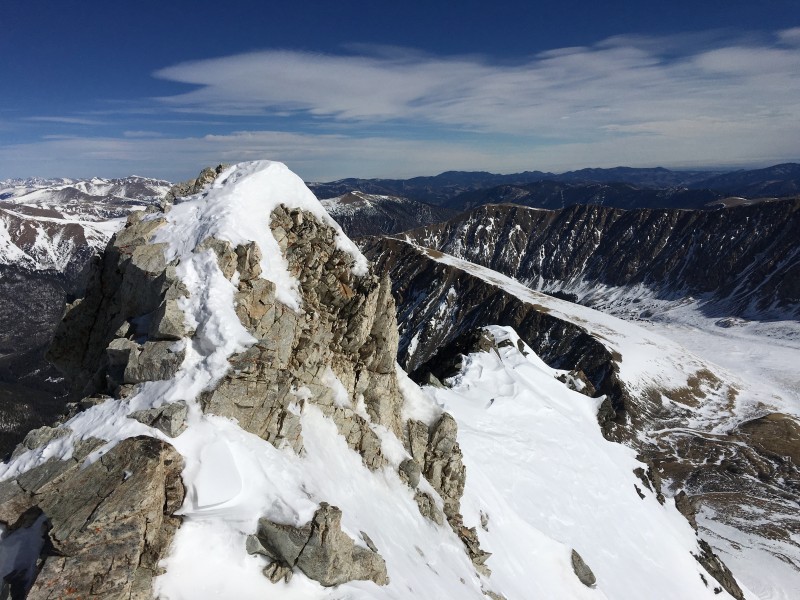
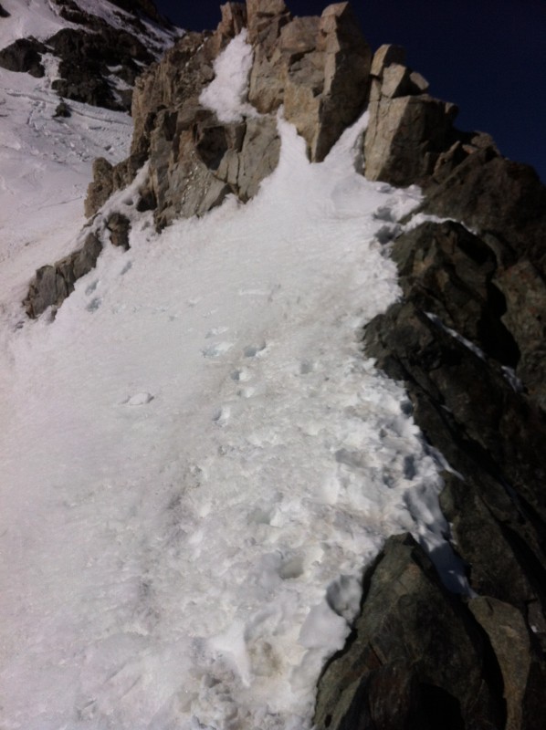
Six of us headed out from I-70 this morning just after 6:00 AM. We walked up the well-packed road to the summer TH, then strapped on our snowshoes. After taking the winter bypass below Kelso Mountain's avalanche slopes, we regained the summer trail just above 12,000'. We stashed snowshoes before turning off to Kelso Ridge and put on our crampons at the start of the ridge. Lower on the ridge, there wasn't much snow - less than we expected, but as we ascended, the crampons became more and more useful. We topped out in a little over 5 hours and descended the standard Grays trail. The face was fairly windblown, so crossing it wasn't a concern today as we hoofed it back down to I-70 to wrap up our 8+ hour round trip day.
Sparse snow in February 2016The knife ridge - not so knifelike in February 2016
Looking back across the white rock and knife ridge - February 2016
March
I solo climbed Kelso Ridge on March 30, 2012 from I-70 and took very few photos that day. My notes for the day indicate that it had been very warm the two weeks prior, so conditions were closer to May than March. People had begun climbing Dead Dog by that time in 2012, so the most memorable thing about this climb for me was after leaving the knife ridge, I went around the white rock on its left hand side into the upper part of Dead Dog before finishing like normal.
A March 2012 look at the knife ridge.
April
Tax day 2014 was my April Kelso climb for the grid. 2014 was a much more normal snow year, so you can see that there is a lot of snow up there. The freeze thaw cycle will most likely at least have started, so you might actually find some fun snow to climb. You're still looking at starting at I-70 in all likelihood and snowshoes or some other form of flotation above the summer TH would be in order.
Looking down the distance of the ridge. Notice you can't even find the knife ridge!
May
By May, you can most likely get a 4WD vehicle at least to the Y in the road and possibly all the way to the summer TH depending on what kind of snow year it was.
May can be a great time to climb Kelso Ridge if you are comfortable climbing on snow. I've soloed the ridge three times in May and had a partner for a fourth time. My favorite May day by far was a 2015 solo after a very snowy spring. I had virgin snow on the ridge the entire day. Unbelievable!
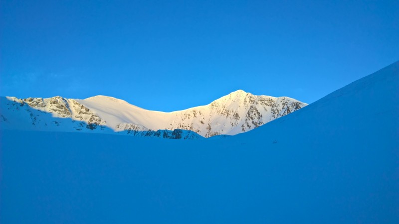
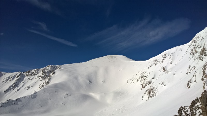
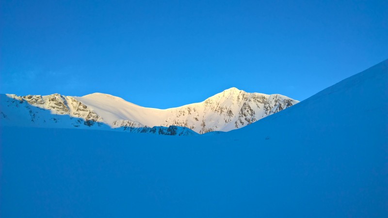
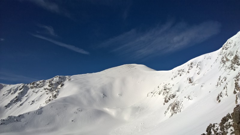
First light on the peaks - May 16, 2015Grays with as much snow as I've ever seen on it
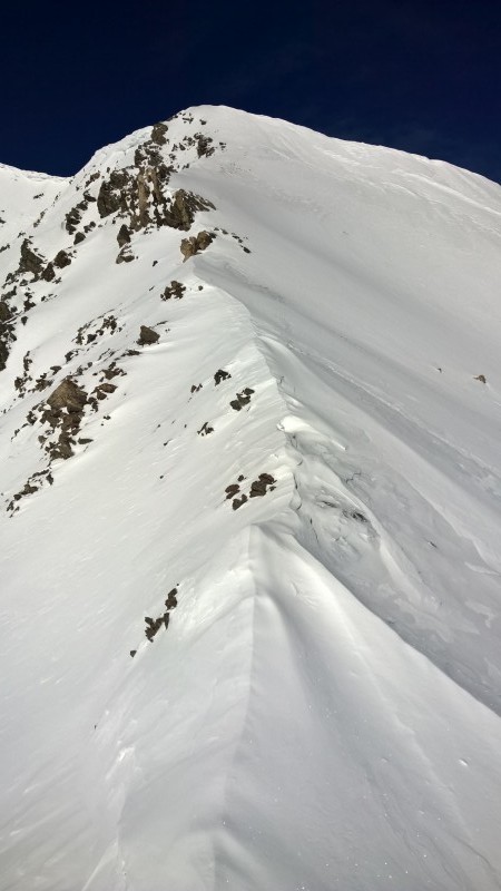
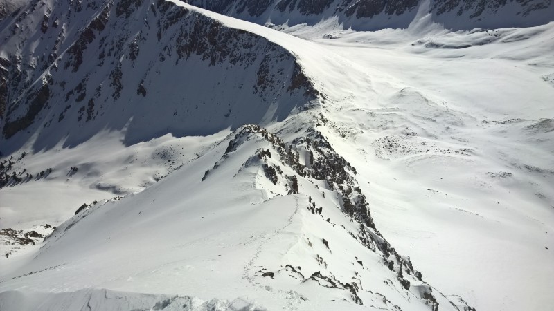
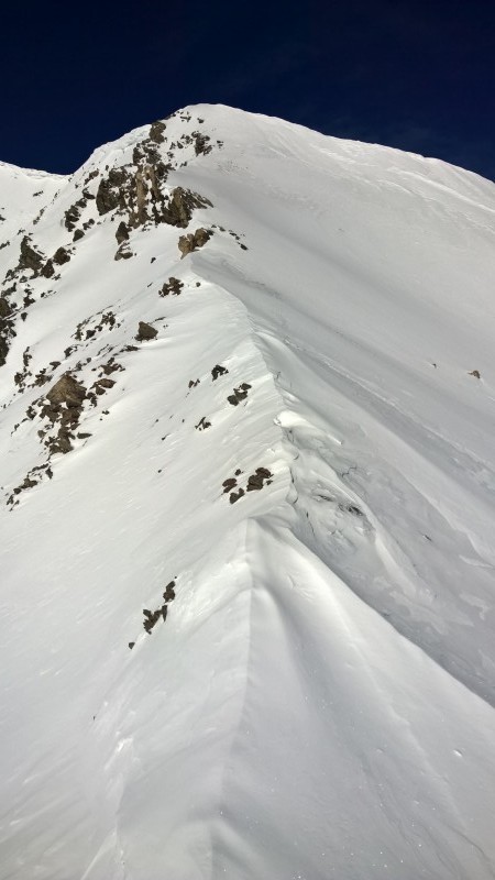
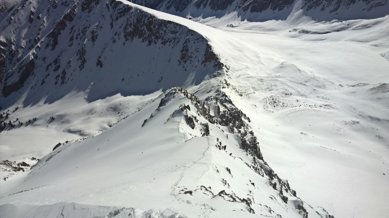
Virgin snow heading up the ridgeLooking back down with only my tracks
June, July and August are the summer season on Kelso Ridge, so I'll stop there. Just like any of the 14ers, the beginning of June on Kelso Ridge is still spring season, so expect snow and be ready for it. I had one June day in 2013 where my partner and I were the only ones to summit because we were the only ones who had crampons. Microspikes weren't getting it done for others on the route and they turned back.
Have fun! I hope you enjoy Kelso Ridge as much as I do.
Brad
Thumbnails for uploaded photos (click to open slideshow):
I must criticize the photo layout. I prefer when the pictures are all aligned on the left side of report. The two on the right threw me off. Lol, just kidding.
Very nicely written, stellar photos, and excellent accomplishment. Kelso is a fun route. I have never done it in snow, but looks very fun. I've only ever done grids on peaks during the winter months. Way to go!!
For trip reports, I prefer to upload the images to a 3rd party site like photobucket or imgur, as I feel it's easier to write the report and link to the pics as you go along. I used to use facebook, but they change the image urls, and now my favorite trip report from Mt. Rainier has a bunch of x's. :oops: If you learn to manually adjust levels in photoshop, a few of your photos would be color corrected.
Nice job on the Kelso Ridge grid, Brad! So do you always go right at the white wall? I have always gone left, which is highly exposed once you're on the ridge crest and there's an awkward move. I will never get tired of Kelso Ridge!
Thanks Kevin. I virtually always go left up the white wall as well. It's one of my favorite parts. I was coming up second yesterday though and our front guy had gone right, so I just headed that way as well since I hadn't been that way in a number of years.
Love the history of your trips up that route. No matter how many times I do it, it never gets old. Great report.
Caution: The information contained in this report may not be accurate and should not be the only resource used in preparation for your climb. Failure to have the necessary experience, physical conditioning, supplies or equipment can result in injury or death. 14ers.com and the author(s) of this report provide no warranties, either express or implied, that the information provided is accurate or reliable. By using the information provided, you agree to indemnify and hold harmless 14ers.com and the report author(s) with respect to any claims and demands against them, including any attorney fees and expenses. Please read the 14ers.com Safety and Disclaimer pages for more information.
Copyright: Route information, text, risk factors, maps, GPX files, charts, photos, 14ers.com-created map imagery, flythroughs, and other content provided in this route description are copyrighted by 14ers.com and may not be copied, reproduced, republished, distributed, modified, or used to create derivative works without prior written permission.
Please respect private property: 14ers.com supports the rights of private landowners to determine how and by whom their land will be used. In Colorado, it is your responsibility to determine if land is private and to obtain the appropriate permission before entering the property.