| Report Type | Full |
| Peak(s) |
Lake Park Peak - 11403 |
| Date Posted | 01/07/2016 |
| Date Climbed | 01/03/2016 |
| Author | Bob Kocher |
| Additional Members | Nathan Hoobler, Glass_half_full |
| Another LCW Gem Surrounding Lake Park |
|---|
|
It had been a couple months since I was in the backcountry and the forecast for the high peaks was colder and windier than I wanted to endure, so I decided to go for Lake Park Peak (11,403') on the southern end of the Lost Creek Wilderness in the Retirement Range. Karen replied to my forum post with interest and Nathan, who is one of my regular trust-worthy backcountry partners, was a last-minute addition. We met at the Spruce Grove TH along CO 77 (just north of the town of Tarryall) and were on our way by 8:30 in spite of temperatures just above 0 degrees. The forecast for the local peaks was clear with minimal wind and a high around the freezing mark--perfect weather for a winter hike. The coldest part of the day was the first 15 minutes as we crossed the frozen Tarryall Creek, turned left at the immediate trail junction and started hiking on Lizard Rock Trail (#658) as you pass through the boulder tunnel. Once the trail gently climbs away from the creek and we were in the sunlight we shed a couple layers and never did need our down jackets again until we returned to the parking after sunset. There is some disgrepancy between Roach's book, the sign by the bridge over Tarryall Creek and this document on LCW trail by the Forest Service (http://www.fs.usda.gov/Internet/FSE_DOCUMENTS/stelprd3798288.pdf) on the mileage from the TH to the trail junction near the wilderness boundary. Distances vary between 2-3 miles, but either way it's a good trail with a gentle climb and eventually intersects with the Brookside/McCurdy Trail (#607) and the Hankins Pass Trail (#630). This junction is not well marked, so if you're continuing to Hankins Pass as we were you go right and uphill (the only sign I saw at this junction was for the Brookside/McCurdy Trail (#607) which goes left and downhill). To this point we did not need snowshoes. Karen wore microspikes as the trail had been used since the last snow storm and was somewhat packed (Nathan and I carried them, but never wore ours at any point during the day). However, after the trail junction mentioned above most of the trail to Hankins Pass contours on the north side of the hills and we found ourselves in sugar-snow that was getting deeper. Prior to reaching Hankins Pass we stopped and put on our snowshoes which proved to be a good decision and we wore them for most of the day. It took us 2.5 hours to go 4 miles from the TH to Hankins Pass (arrived at 11:00). The footprints we had been following continued east off Hankins Pass, but we were turning north on to the Lake Park Trail (#639) and from here we would be breaking our own trail. 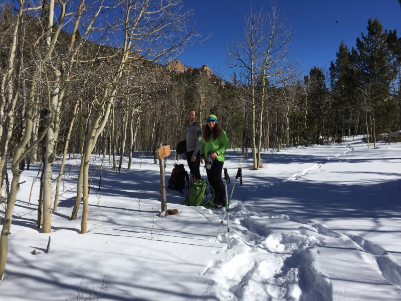  Nathan did a terrific (and much appreciated!) job of breaking trail and navigating all day to keep us on route. The Lake Park trail seemed to take forever and it took us 2 hours to cover 1.1 miles from Hankins Pass to the Lake Park saddle at 10,900' (arrived at 1:00) -- definitely the most tiring part of the day. 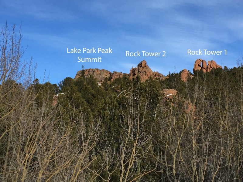 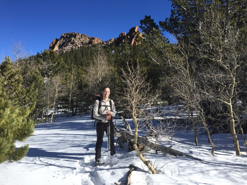 After a short break, we followed Roach's LCW guide book which says to leave the trail and hike .4 mile east-southeast to reach the SW ridge of Lake Park Peak at 11,100'. We aimed for a point left of Rock Tower 1. This was the steepest part of our hike, but it was a relatively short section and even with bushwhacking it only took about 15 minutes from the LP saddle to gain the SW ridge. 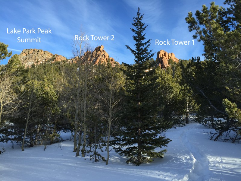 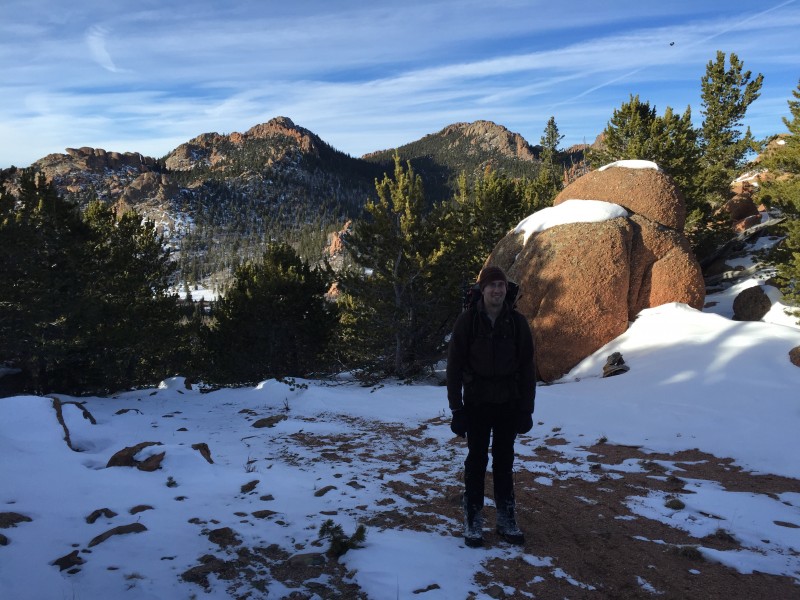 At this point, Roach says (this is paraphrased from his book) to cross to the ridge's south side and descend slightly to climb/contour .2 miles east across rough boulders (class 2+), avoiding and temptation to cut up toward the summit too soon (there's decent-size cliffs there) ... then cross a little south ridge and once you can see the east summit, turn north (left) and scramble .1 mile north to the west summit. Well, losing elevation is never ideal, and doing so through snow while bushwhacking only to regain it later wasn't appealing to us, so we opted to go around the right side of tower 2 and try ascending the ridge. From where we gained the SW ridge we could see the summit, but we weren't able to see around the initial cliffs (the ones Roach refers to) and didn't know if there was a drop-off on the other side that prompted Roach's route to lead you around the right (south) side. To our delight, once we passed tower 2 we found solid rock and easily kept the scrambling to class 3, some of which had significant exposure on the climber's left (north side) although you could avoid the worst of it if you preferred. From the Lake Park saddle, it took us about an hour to reach the summit (arrived just before 2:30). The ridge scramble the summit views were definitely worth the 6 hours it took to get there. 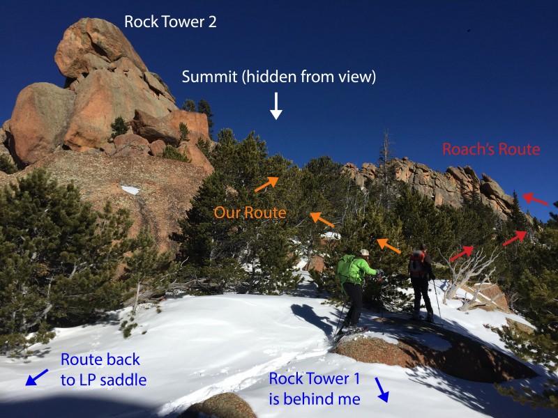 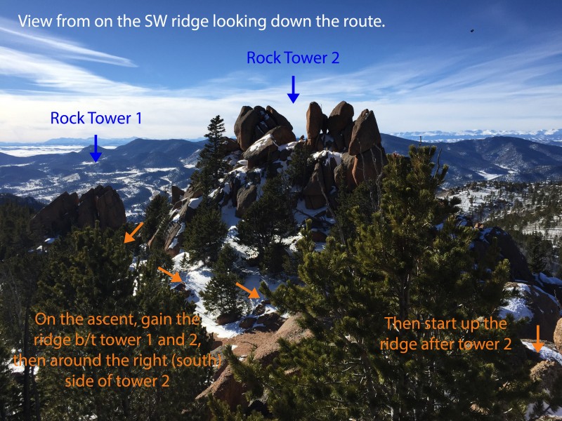 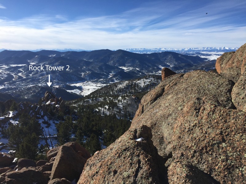   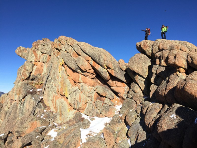  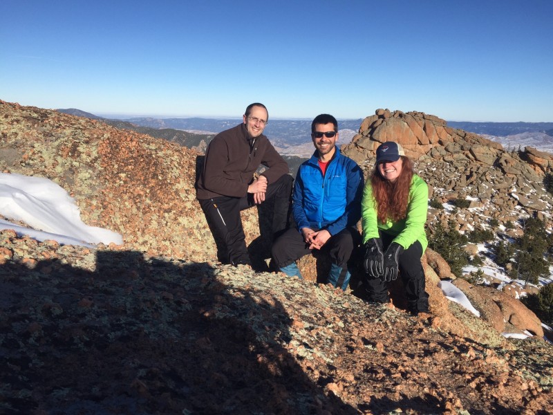 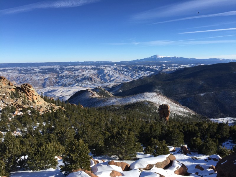 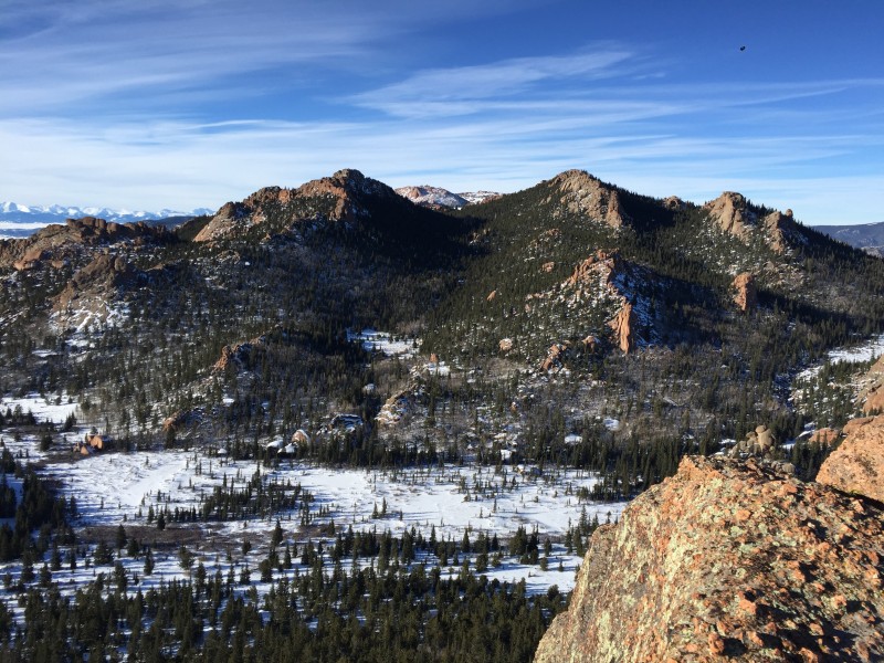 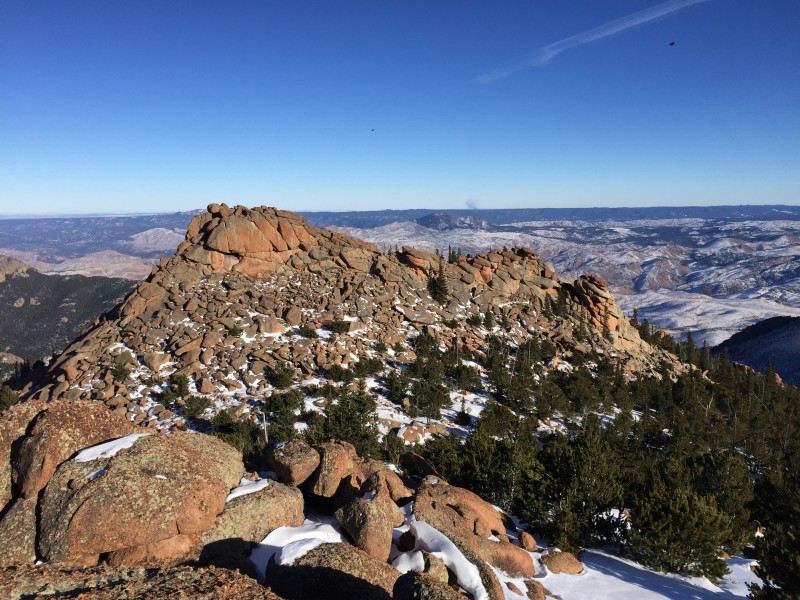  We spent 45 minutes enjoying the summit before we started down knowing we'd likely be finishing the last 1-2 miles by headlamp. We retraced out route down the ridge and followed our bootpack back off the ridge and the entire way back to the TH (our decent from the summit to TH took us just under 3.5 hours). Our roundtrip mileage was just over 10 miles.  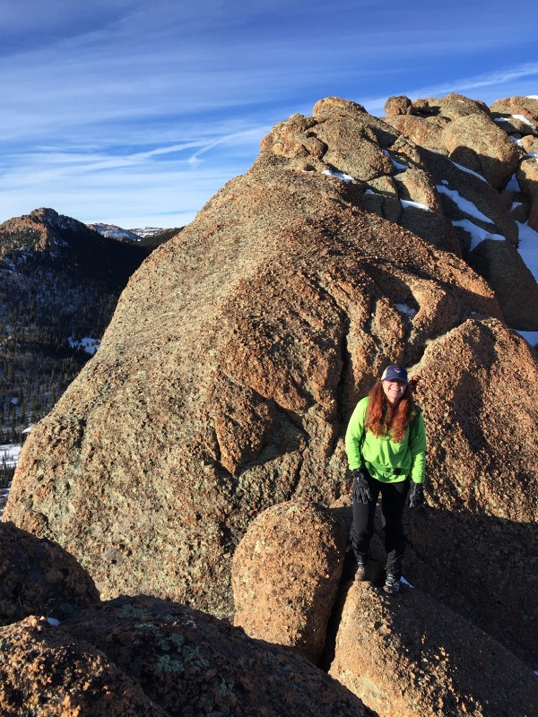 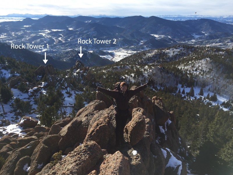 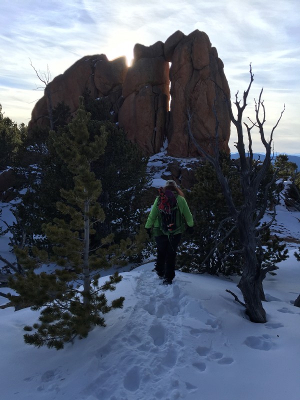  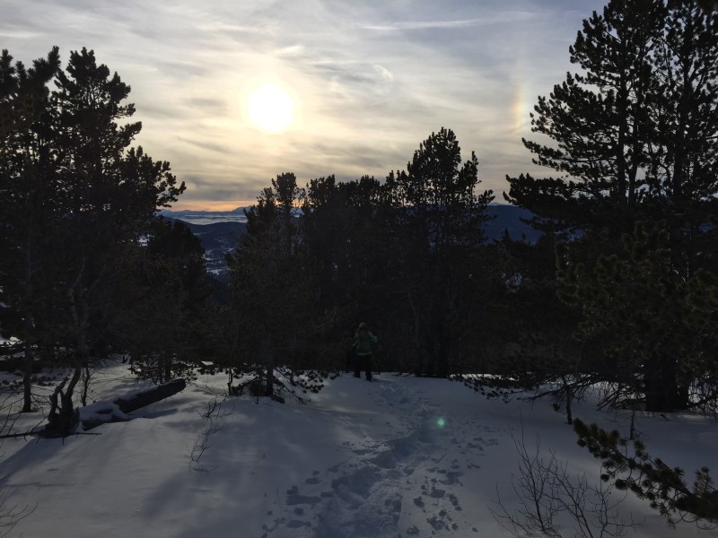 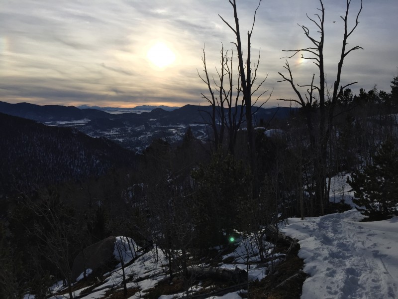 Thanks to Nathan and Karen for a very enjoyable winter hike to one of LCW's seldom-climbed summits. It was a fun day in the mountains! |
| Comments or Questions | |||||||||
|---|---|---|---|---|---|---|---|---|---|
|
Caution: The information contained in this report may not be accurate and should not be the only resource used in preparation for your climb. Failure to have the necessary experience, physical conditioning, supplies or equipment can result in injury or death. 14ers.com and the author(s) of this report provide no warranties, either express or implied, that the information provided is accurate or reliable. By using the information provided, you agree to indemnify and hold harmless 14ers.com and the report author(s) with respect to any claims and demands against them, including any attorney fees and expenses. Please read the 14ers.com Safety and Disclaimer pages for more information.
Please respect private property: 14ers.com supports the rights of private landowners to determine how and by whom their land will be used. In Colorado, it is your responsibility to determine if land is private and to obtain the appropriate permission before entering the property.
