Download Agreement, Release, and Acknowledgement of Risk:
You (the person requesting this file download) fully understand mountain climbing ("Activity") involves risks and dangers of serious bodily injury, including permanent disability, paralysis, and death ("Risks") and you fully accept and assume all such risks and all responsibility for losses, costs, and damages you incur as a result of your participation in this Activity.
You acknowledge that information in the file you have chosen to download may not be accurate and may contain errors. You agree to assume all risks when using this information and agree to release and discharge 14ers.com, 14ers Inc. and the author(s) of such information (collectively, the "Released Parties").
You hereby discharge the Released Parties from all damages, actions, claims and liabilities of any nature, specifically including, but not limited to, damages, actions, claims and liabilities arising from or related to the negligence of the Released Parties. You further agree to indemnify, hold harmless and defend 14ers.com, 14ers Inc. and each of the other Released Parties from and against any loss, damage, liability and expense, including costs and attorney fees, incurred by 14ers.com, 14ers Inc. or any of the other Released Parties as a result of you using information provided on the 14ers.com or 14ers Inc. websites.
You have read this agreement, fully understand its terms and intend it to be a complete and unconditional release of all liability to the greatest extent allowed by law and agree that if any portion of this agreement is held to be invalid the balance, notwithstanding, shall continue in full force and effect.
By clicking "OK" you agree to these terms. If you DO NOT agree, click "Cancel"...
Ellingwood Point
Total Mileage: 10.5 miles
Elevation gain: 4,521 feet
Time to Summit: 6 hours 45 minutes
Summit time: 30 minutes
Descent: 4 hours
Some music to get you into the mood.
On July 4th of 2010, my wife and I were engaged on the summit of Blanca Peak, but could not make it over to Ellingwood Point due to our desire to get back to Denver for Fourth of July Fireworks. Ever since, I've been trying to back to finish the Lake Como 14ers. I planned to go for Ellingwood in the October-early November time frame this year, but I wasn't super excited about doing that drive alone. Luckily, BenfromtheEast was willing to come along, otherwise it's unlikely I would have summited solo considering the conditions we found. We had hoped to do the Southwest ridge to Ellingwood and then the high ridge traverse to Blanca. Seemed easily doable with both our fitness levels...
On Halloween night we met in Denver and drove down to the Lake Como Road in my Xterra. We were able drive to around 9,300 feet on the road, before I couldn't take driving on the road anymore. We parked and were sacked out by around midnight.
After we woke up, I convinced myself that we could go higher and jumped into the driver seat again. Even though I had vowed to never drive back up to Jaws .5 after the last time, I found myself driving to that exact point once again saying "that wasn't as bad as I remembered it."
Ben had brought two pairs of snowshoes along, but I convinced him(and myself) that we would not even need those, since this is the Sangres and "there was no way" there would be any snow above treeline. Besides the extra weight would slow us down!
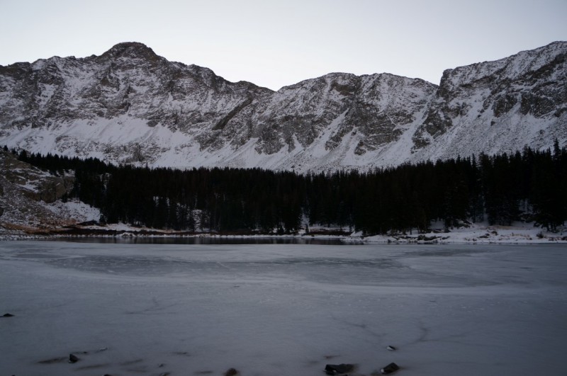
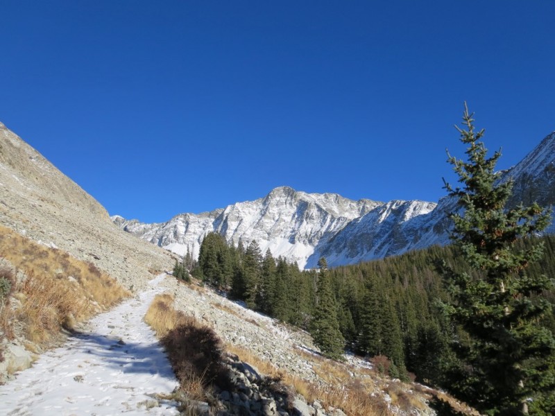
We were moving by 4:40ish and made it the 2.75 miles to Lake Como by 7 am.
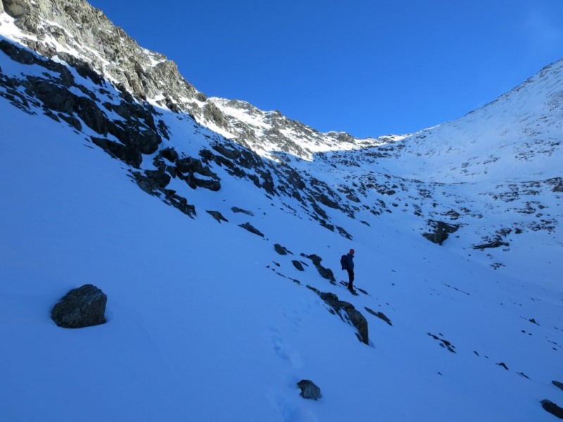
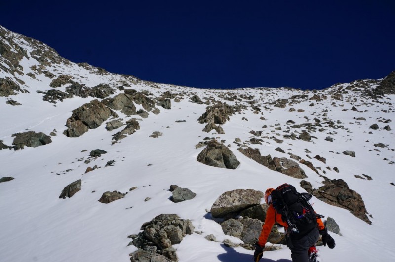
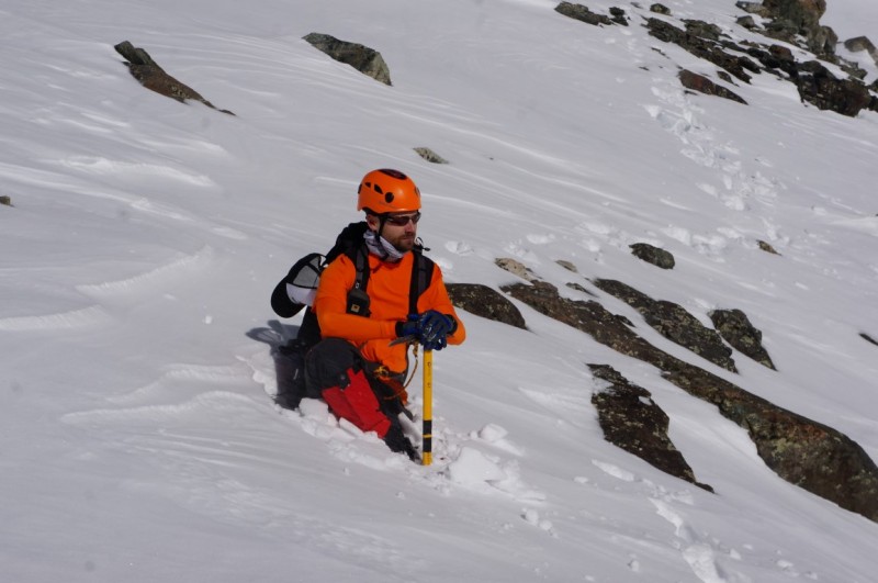
At the lake, the snow was starting to get deeper than an inch or two, so we both threw on our gaiters and traction devices. From the far side of Lake Como it was clear that there was more than a marginal amount of snow.
Just above Lake Como.
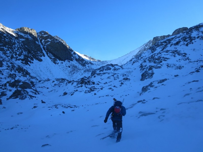
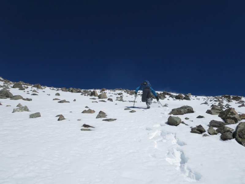
We generally followed the trail to the headwall above the Blue Lakes. However, once above treeline the snow depth began to exceed a foot deep and since it was completely unsupportive it forced us off the trail and onto the rocks and grass next to and above the route.
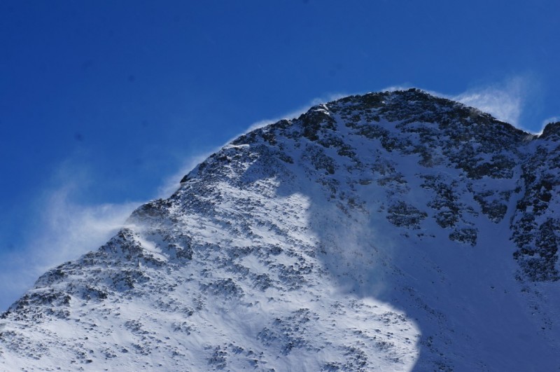
Snow sloughing off Little Bear.
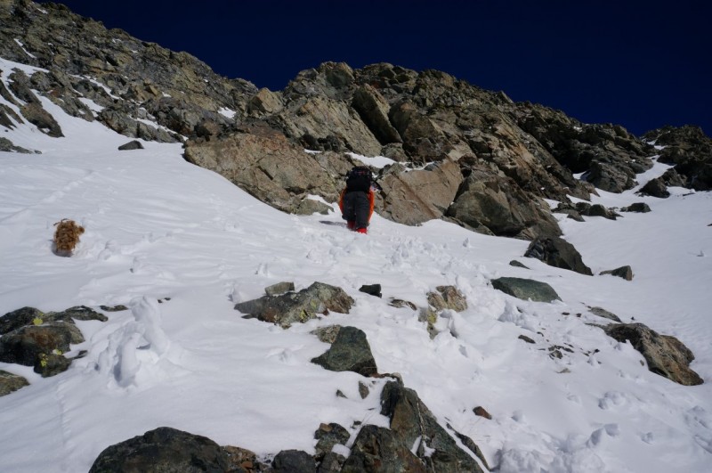
At the headwall, above the Blue Lakes, we followed a line of exposed rock that that didn't exceed Easy Class 3, to the unnamed lake,.
Ben enjoying the snow that wasn't supposed to be there.
Ben headed up the headwall above the Blue Lakes.
Once we topped out above the Blue Lakes we decided to forgo the Southwest Ridge route, thinking that it would slow us down, instead we decided that maybe it would be best to stick to the standard summer route.
Credit: Ben. John headed towards Crater Lake.
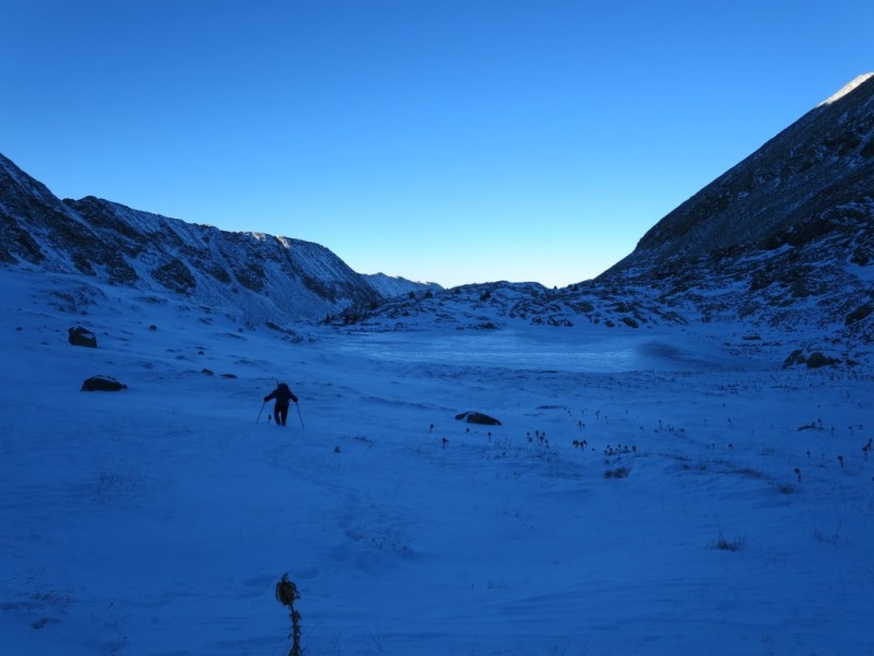
Ben and the unnamed lake.
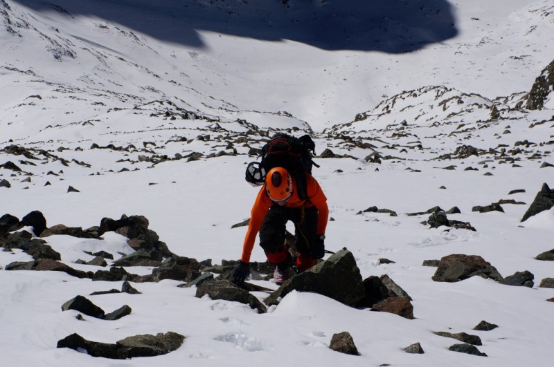
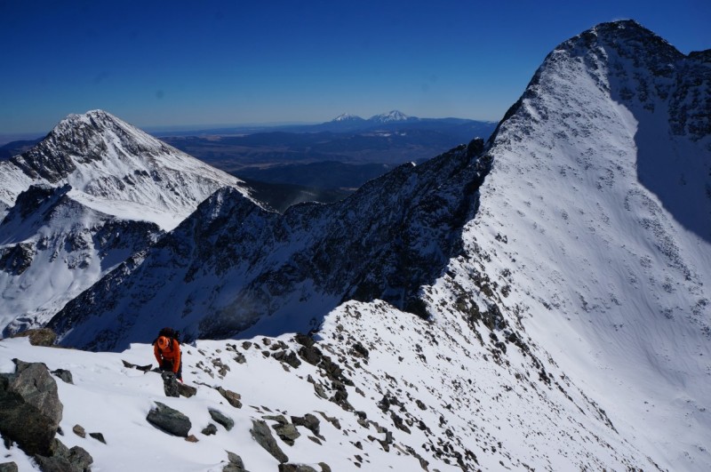
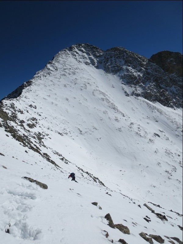
By the time we had cross around to just below Crater Lake, it had become clear that the standard route was going to be too deep with snow, and turning back for the ridge was too much effort, if only we had some snow shoes with us... Who's idea was it to leave those in the car anyway?! We decided that climbing the talus-mound above the trail and then traversing to the face of Ellingwood probably would be our best bet. John before turning up.
We were able to avoid climbing up, or descending, until we came to a snow filled gully which looked to have deep wind deposited snow and would required us to descend to get around it.
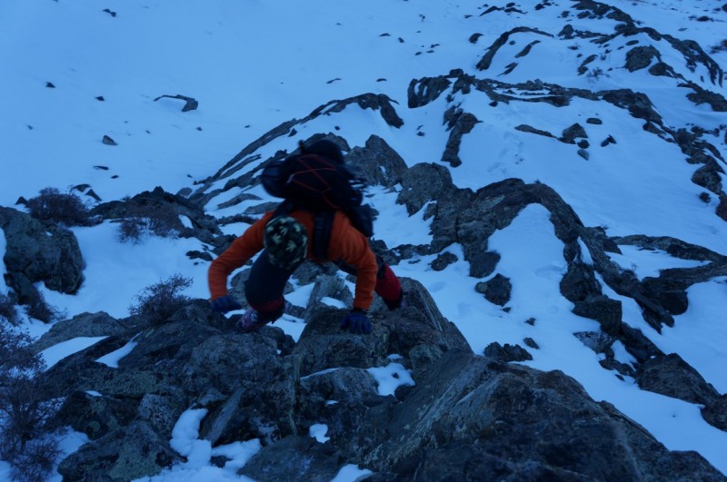
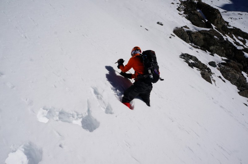
Ben had the good idea of ascending a steep slope and then traverse a series of gullies and couloirs until we could get to either the Blanca-Ellingwood Ridge or find a rock band to take to the upper part of the mountain.
Ben traversing a particularly steep section. Good form Benjamin!
Credit: Ben. John following.
Credit: Ben
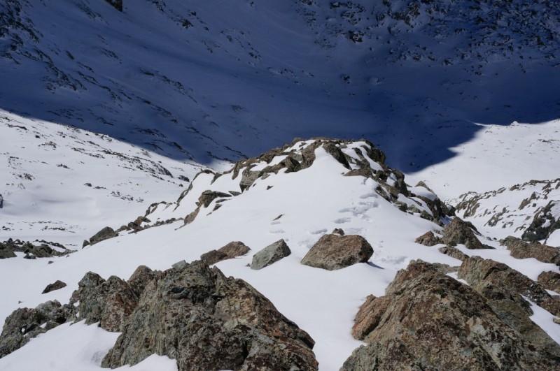
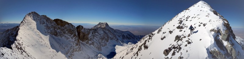
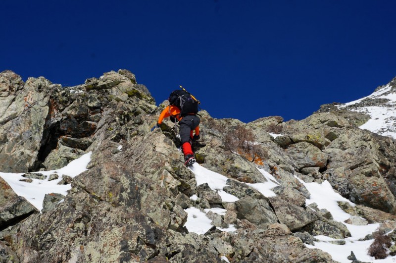
About two thirds of the way across the face we found a rock rib which seemed to offer a Class 3 route to the upper part of the face and then the ridge to the summit.
The rib we took up.
Continue up towards the summit ridge.
Credit: Ben. John working his way up towards the Ridge.
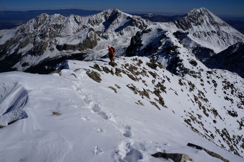
Once the rib disappeared in the snow we picked a line between rock outcroppings and worked our way up to the ridge.
Ben working his way up towards the ridge.
Blanca Peak
Ben working his way up.
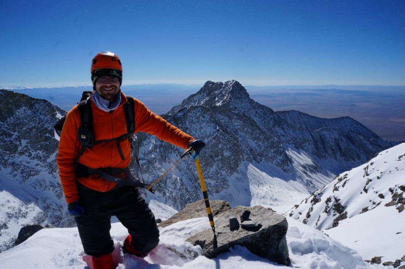
Upon gaining the ridge it was a short scramble over to the Summit. Credit: Ben
Ben Summiting
Credit: Ben
Credit: Ben. Crestone Group.
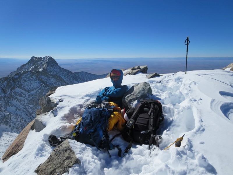
It was 11:20 by the time we summited and clear that there was no way we had time to attempt Blanca now. We both agreed that lacking snowshoes it would have made far more sense to have taken the Southwest Ridge instead of the route we took, which might have allowed a Blanca summit.
We hung out on the summit for 20-30 minutes and discussed our best options for getting through the snow misery that awaited us. It was decided that dropping lower into the basin and trying to stay closer to the summer route might make for an easier and safer way to go. Coming up Ellingwood the Sun was baking the surface pretty well and we saw some rollers from earlier in the week. We hoped that by descending into the bowl we could hit snow which was not as sun effected and hopefully slightly more stable.
Credit: Ben
Credit: Ben. John traversing in weak snow towards the summer route.
We followed the ridge and our ascent route up for a good portion of the way down until we were below the rock bands below the low part of the ridge. From here we began a descending traverse. The snow after we left the ridge was pretty miserable. It was wet and unsupportive, which made travel difficult.
Credit: Ben
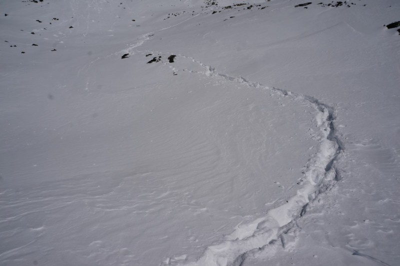
When we got down into the bowl, below Blanca and Ellingwood, we found the snow to be consistently high calf to thigh deep and so sticky that glissading was more reminiscent of canoeing than sliding. The misery levels were pretty high, since when you stepped off a rock you weren't sure if you would sink a foot or all the way down to your waist. Ben and I kind of drifted apart at this point, both inside our own little pain boxes of misery and anger.
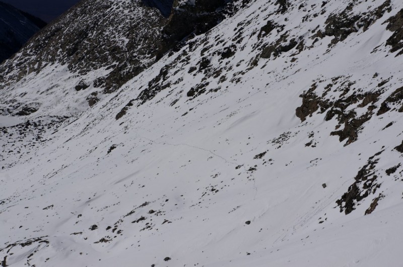
Route stretching back up.
Credit: Ben. Posthole heaven.
Our traverse route earlier in the morning.
The snow was literally waist deep in places. Ben seen here taking a stoic's attitude to the postholing.
We joined back up at the top of the headwall and drank some water and ate a short snack before downclimbing the rock to the slightly less deep snow below the Blue Lakes. Its was funny to think that in the morning the snow below the Blue Lakes seemed deep, but was pretty manageable. Its amusing how perspective changes.
Ben downclimbing the headwall above the Blue Lakes
From here it was a relatively easy hike back to Lake Como where we stripped back down to short-sleeves and took the gaiters off.
Credit: Ben. Lake Como road between the Lake and Jaws 3
From the Lake we were able to make short work of the mileage back to the car.
Credit: Ben
Once back at the car we stuffed some food down, drank a post hike beer and started back down the road. As noted above, I thought the drive up was relatively easy, however within 100 yards of starting down the road, Ben and I were sure that we were going to roll the Xterra over. Thankfully nothing bad happened, but it sure is typical to say "That was easy" and then later on almost destroy your car! I am definitely never driving that high again!
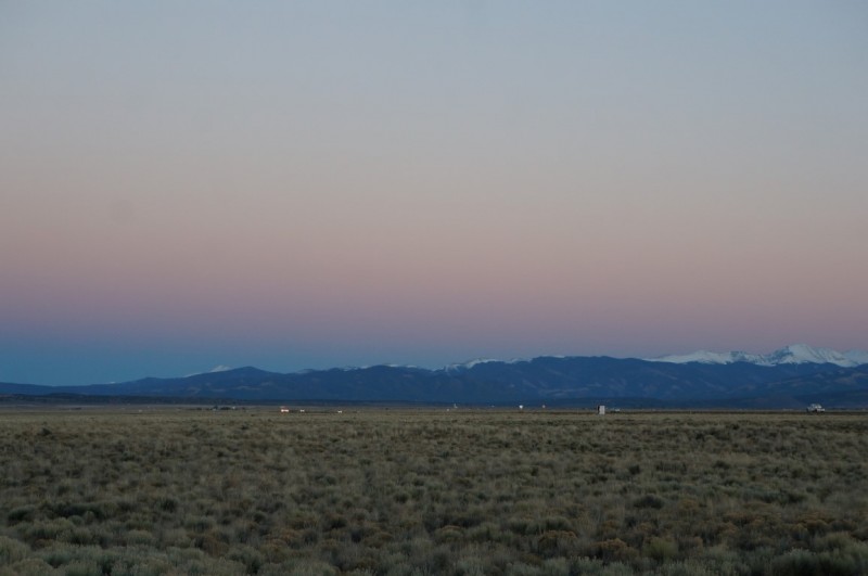
Sunset behind the Culbera Range.
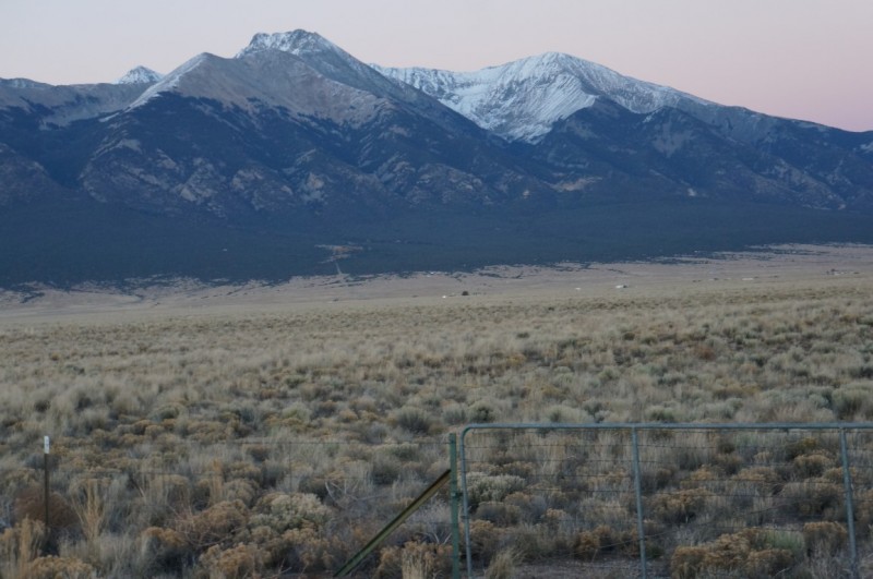
Sierra Blanca
Luckily, the drive back to Denver was uneventful and the Broncos beat the Packers!!
Thanks for reading. Sorry about the snowshoes Ben.
My GPS Tracks on Google Maps (made from a .GPX file upload):
Jay521: Thanks! Yea, my Snowshoe hate was slightly abated by the time consumption and misery levels.
Bill: Well, Ellingwood is still on the to–do list. I wish I could claim that this was just a scouting trip for future skiing... We both did have a good look at the skiable line on Blanca. Looks fun.
I’m glad y’all are cool with Jimi. I wanted to write this TR, but it just didn’t seem worthy without Purple Blancaflake. I fully intend to re–use the theme song in a future TR. In fact, I can’t see why anyone would choose any other song this time of year.
John, thanks for advertising our blunders. Fun day. No, really.
Caution: The information contained in this report may not be accurate and should not be the only resource used in preparation for your climb. Failure to have the necessary experience, physical conditioning, supplies or equipment can result in injury or death. 14ers.com and the author(s) of this report provide no warranties, either express or implied, that the information provided is accurate or reliable. By using the information provided, you agree to indemnify and hold harmless 14ers.com and the report author(s) with respect to any claims and demands against them, including any attorney fees and expenses. Please read the 14ers.com Safety and Disclaimer pages for more information.
Please respect private property: 14ers.com supports the rights of private landowners to determine how and by whom their land will be used. In Colorado, it is your responsibility to determine if land is private and to obtain the appropriate permission before entering the property.