Log In 
Report Type 
Mini
Peak(s)  Hermit Peak  -  13,311 feet
Eureka Mountain  -  13,505 feet
"Menos Alto Peak"  -  13,031 feet
"Alto Peak"  -  13,059 feet
"Mas Alto Peak"  -  13,065 feet
Rito Alto Peak  -  13,801 feet
Date Posted  08/02/2015
Modified  02/16/2018
Date Climbed   07/11/2015
Author  Marmot72
 Rito Alto y los debajo   
July 11, Ben and I did a fun Sangres loop.

Six Peaks, 11.5 miles, 7,300' vertical gain, 9 hours & 55 minutes RT.

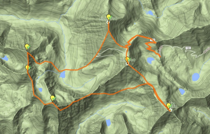
Summary: From Horsheshoe lake on Hermit Road, we hiked the road, then traversed south over Hermit Peak and Eureka, then backtracked about 2/3 of that ridge to descend into the valley to the west, side-hilling on some fun game trails to intercept a real trail taking us to the low point of the ridge connecting Hermit and 13028. Then we enjoyed interspersed walking on grass and scrambling conglomerate along the bumpy ridge to 028, a cruise to 060, a class 4 downclimb and jaunt to 062, before descending to Rito Alto lake and slogging up Rito Alto's southwest slopes.

Full Report


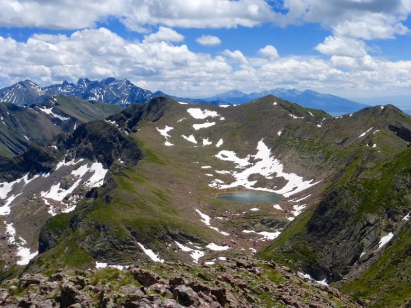
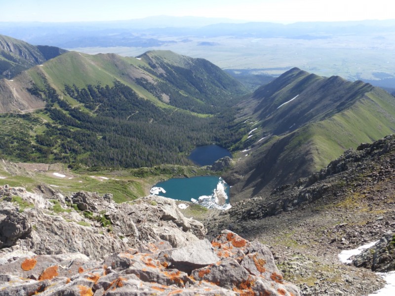
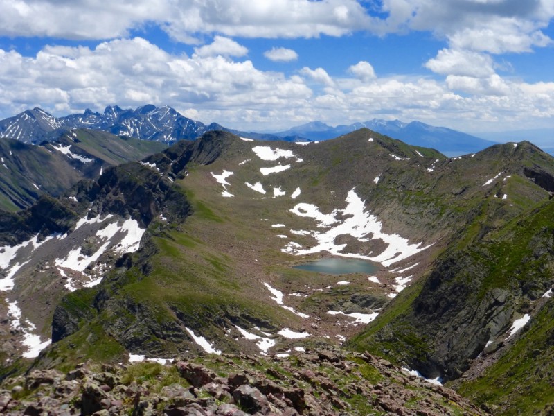
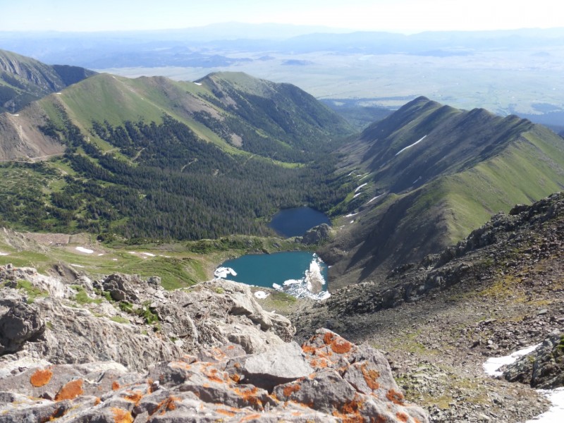
Eureka Lake and Hermit Lake from the top of Eureka:
Image


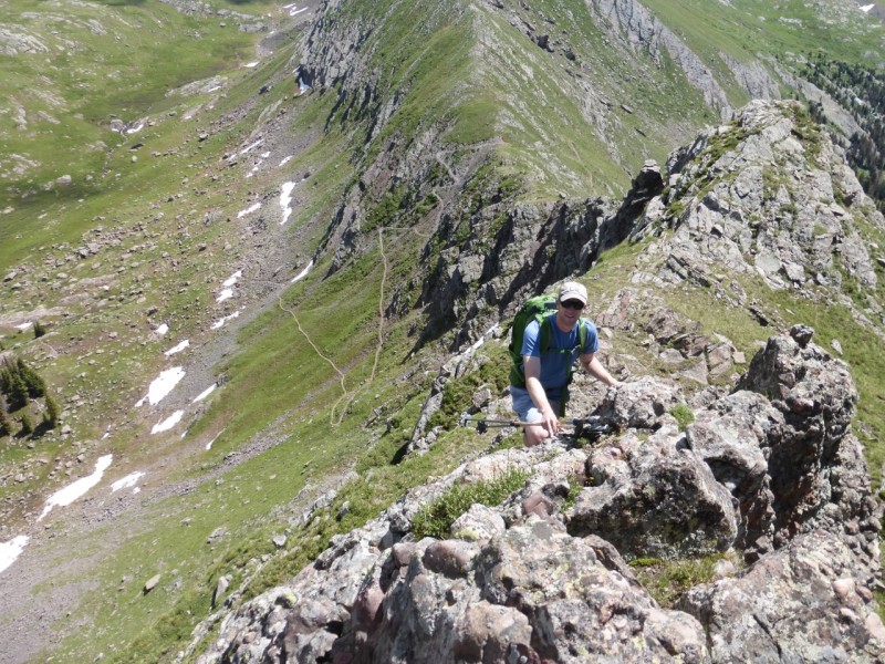
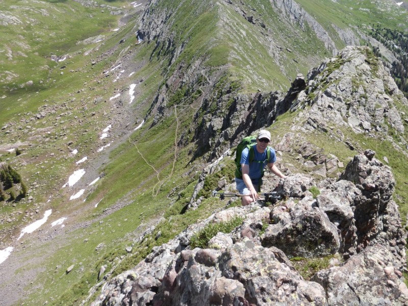
Ben along the ridge to 028:
Image


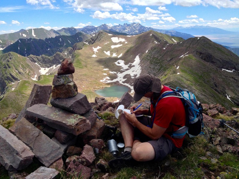
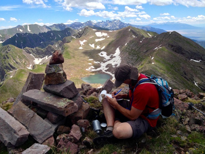
Me signing the 060 register; 028 left of center in the sun and the undulating but easy ridge at right in between; Crestones way in the back:
Image


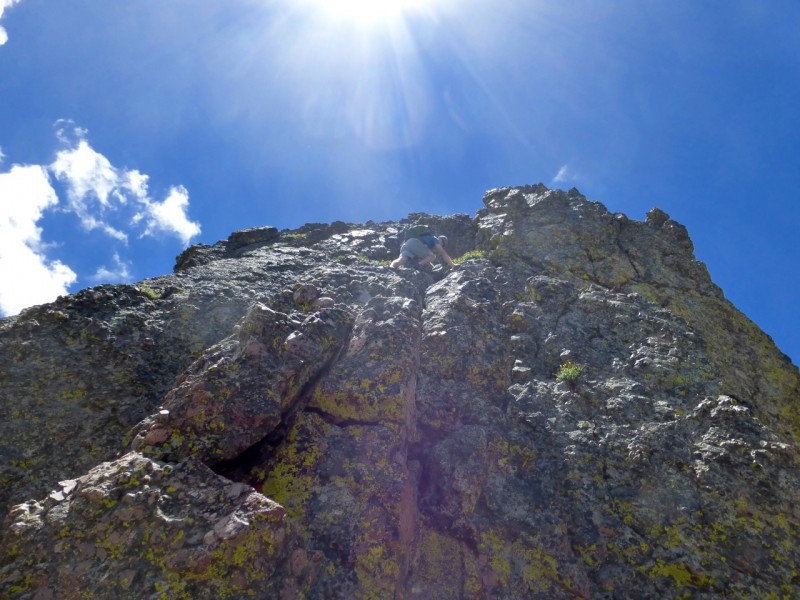
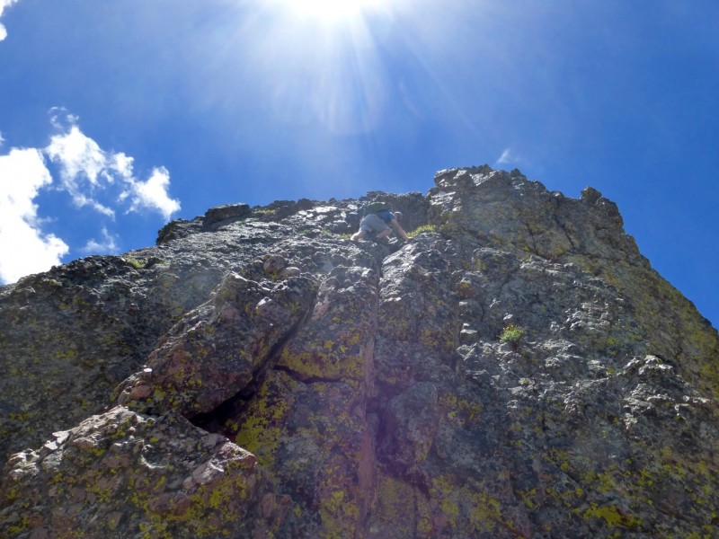
Ben downclimbing the crux notch from 060:
Image


The view south from the summit of 062:
Image


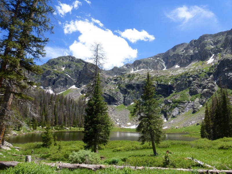
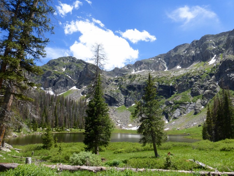
Rito Alto lake (mosquitoes prevalent but not pictured):
Image


Looking west to the 028-060-062 ridge from the summit of Rito Alto:
Image


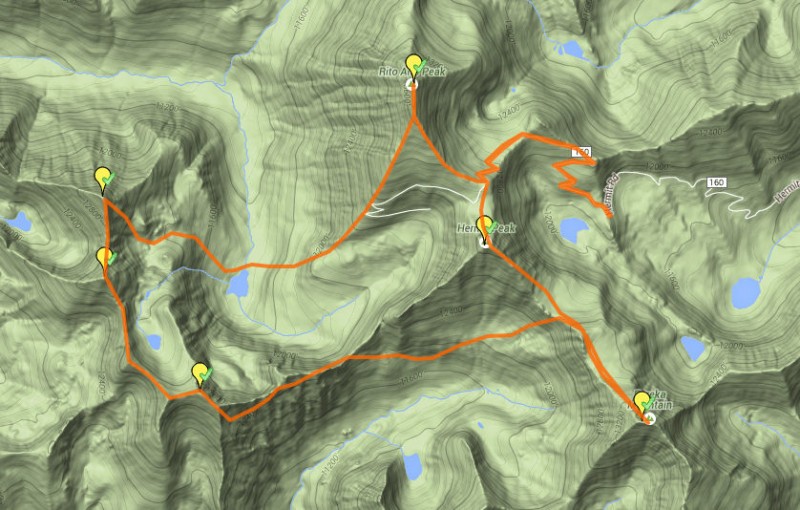
Map of route:
Image


Thumbnails for uploaded photos (click to open slideshow):
1 2 3 4 5 6 7 8


Comments or Questions
Matt
User
We are gonna have to talk about this
8/3/2015 1:33pm
Nice work! I have been looking at getting Eureka and the 130xx peaks.
Maybe pick your brain over a beer after work some time soon?


Marmot72
User
for sur, Matt!
8/4/2015 11:49am
No, that was’t a typo but a play on your fomer screen name, del sur. It’d be great to grab a beer some work night and chat about peaks.


   Not registered?


Caution: The information contained in this report may not be accurate and should not be the only resource used in preparation for your climb. Failure to have the necessary experience, physical conditioning, supplies or equipment can result in injury or death. 14ers.com and the author(s) of this report provide no warranties, either express or implied, that the information provided is accurate or reliable. By using the information provided, you agree to indemnify and hold harmless 14ers.com and the report author(s) with respect to any claims and demands against them, including any attorney fees and expenses. Please read the 14ers.com Safety and Disclaimer pages for more information.

Copyright: Route information, text, risk factors, maps, GPX files, charts, photos, 14ers.com-created map imagery, flythroughs, and other content provided in this route description are copyrighted by 14ers.com and may not be copied, reproduced, republished, distributed, modified, or used to create derivative works without prior written permission.
Please respect private property: 14ers.com supports the rights of private landowners to determine how and by whom their land will be used. In Colorado, it is your responsibility to determine if land is private and to obtain the appropriate permission before entering the property.