March 8, 2015
Route: Northeast ridge via Highline trail from Fish Hatchery TH
Vertical: ~4,900 ft
Mileage: ~15 miles
Time: ~12 hours (8.5 hour ascent plus 30 min on the summit, 3 hour descent)
Max speed: 23 mph
Party: Roy, Erik, Natalie, Brandon, Jaaron and Slim (dog)
I got the idea that the peak could skiable in winter from two helpful trip reports - Benners and Dances. The peak looked really dry earlier in the winter so I waited. A few days after a big dump, near blue bird forecast and almost no wind - time to head back to the Sawatch. I sent out a few invites that generated a fair amount of interest, and with some people dropping out and new people joining, we ended up with a group of 5, of diverse skill and experience level - 3 skiers/2 boarders. The plan was to start no later than 6am, but with the spring time change and the crew taking a bit longer to assemble gear, Jaaron and I hit the trail by 6.40am, with Roy, Erik and Brandon playing a catch-up.
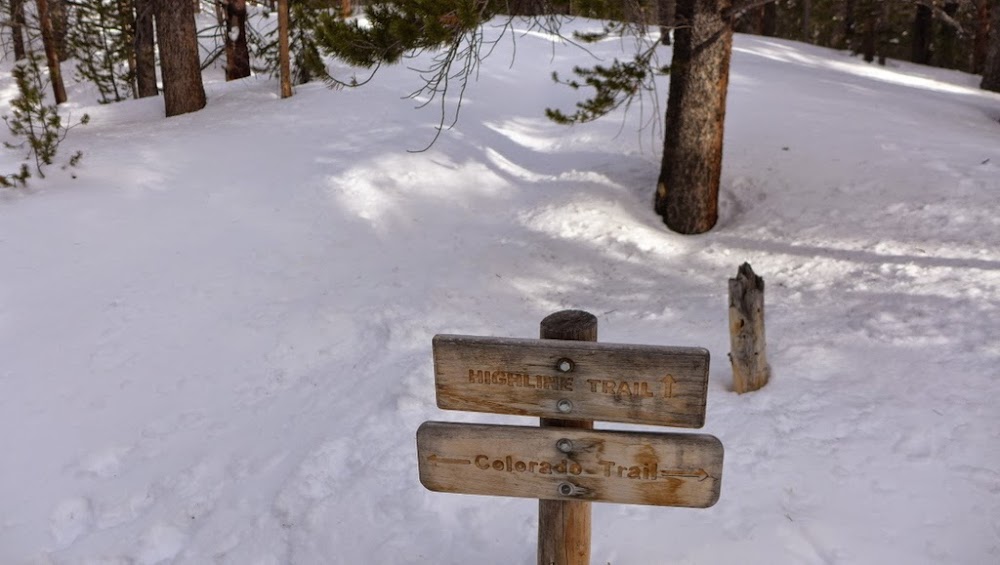
It is still early and the sign on the Highline trail doesn't make any sense.
The mystery was solved on the descent though, just had to wait for about 12 hours.
Even only a few days after a sizeable storm (Sawatch received close to 2 feet over the prior week), the Highline trail can be described as a superhighway, particularly in the fist two miles. It sees a fair amount of traffic. Cross country skers/snowshoers/backcountry skiers and possibly even snowmobilers all use it for their approaches. In fact, it has two sides - one for snowshoers/hikers and another for cross-country and backcountry ski traffic (and that's what the sign apparently means). After the Wilderness Boundary sign the trail gets narrower, but is still plenty firm.

In 2 hours we covered 3 miles to reach the intersection with Colorado Trail near 11k. Here the track effectively ended, since nobody has been past that junction after the recent storm. Time to put our trailbreaking hats on!

Slim started to sink and swim in snow, quickly burning energy. Seeing that the dog is having trouble, Jaaron made the decision to turn around soon thereafter. Brandon with the snowboard and on snowshoes fell behind. Roy, Erik and myself proceeded skinning in deep snow, alternating leads. It took us almost 2 hours to reach the end of the treeline and arrive at the beginning of the NE ridge near 12k. I got the 2nd wind as we finally approached the end of the treeline.

The uphill effort

Splitboarders tend to make a nicer and wider trench


Out of the woods...finally

We took a long break, changing layers, hydrating, eating, putting on sunscreen and waiting for Brandon to catch up. Amazingly, we had communication with Brandon throughout the day, and he reported thigh to waist deep postholing (on snowshoes!) in a few spots that slowed him down considerably. The ridge was windblown, there was no need for floatation, so we put our skis (in my and Roy's case) and splitboard (in Erik's case) on our packs and started on the ridge proper. The time was 10.40am.

Initially, we were making good time on tundra, but fairly soon we ran into the first cliffy "bump" on the ridge. Now, in all the winter Massive reports I've seen (at least on this site), the ridge has been described as Class 2+. I didn't give it any particular thought. We tried to attack the bump "head-on", but encountered fairly deep and unsupportive snow, forcing us to the right (North side) of the ridge, which was windblown and dry. There we ran into some scrambly sections (made only more "interesting" with restrictive ski and splitboard gear), which felt harder than the Class 2+ rating would imply. Rather stunned we emerged after the 1st bump, only to face more bumps of similar difficulty.


Erik tops out after the 1st "bump". The snowfield we bypassed on the other side is behind him

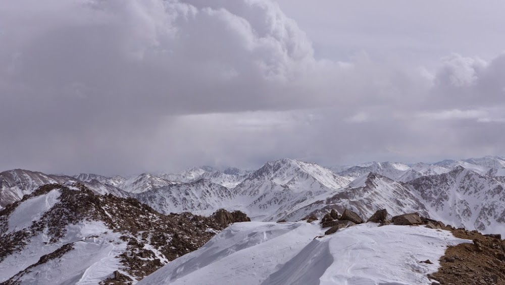
The progress was rather slow. We spent at least 3 hours on the ridge navigating the bumps. We stayed in regular communication with Brandon who was trailing us by an hour and also reported harder than expected ridge difficulties. We gave the ridge everything we could, but when the difficulties finally relented near 13.6k, we were presented with almost 800 ft of additional vertical. I think three of us had to dig deep at this point. The weak storm was slowly building, but the weather was still pleasant, almost with no wind that day. At least the views were nice.

Massive and the ridge to North Massive

Did we miss the "easy street"?

The last 2 bumps were tackled "up and over" as we had a chance to preview the route.

Roy


The final grunt
We finally summited around 3.10-3.20 pm within minutes of each other.

Erik on the summit with Roy topping out
La Plata

Looking west

Erik

Roy

Natalie

The skis
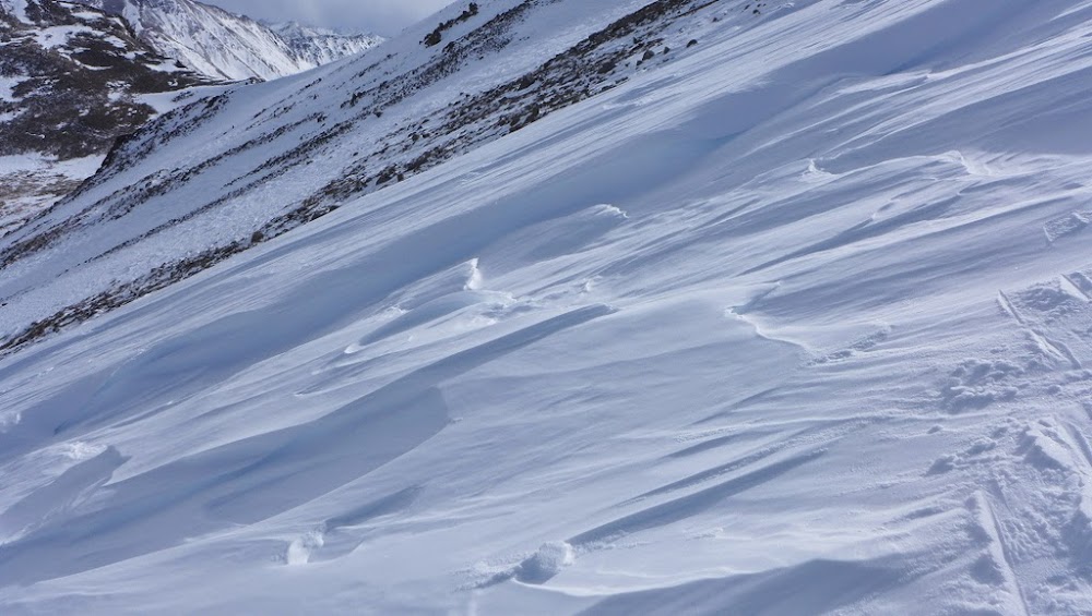
After considering many options, we finally agreed on the descent game plan (suggested by Erik) and clicked in. We got in touch with Brandon, communicating our route and the meeting point on the ridge. Initial descent involved skiing down the ridge to about 14k parallel to the route we ascended, and then traversing across the basin towards the summer route to the top of the lower headwall near 13.4k, which from the prior research and visually we identified as of lower angle than other options available to us. The descent went fairly smoothly, except for the snow surface. It was sastrugi galore - snow features made by winds - unbelievably beautiful, but challenging as a ski surface.

General outline of the descent route

Rough surface for skiing

Erik

Winds can be fierce in this basin

Traversing

Traversing
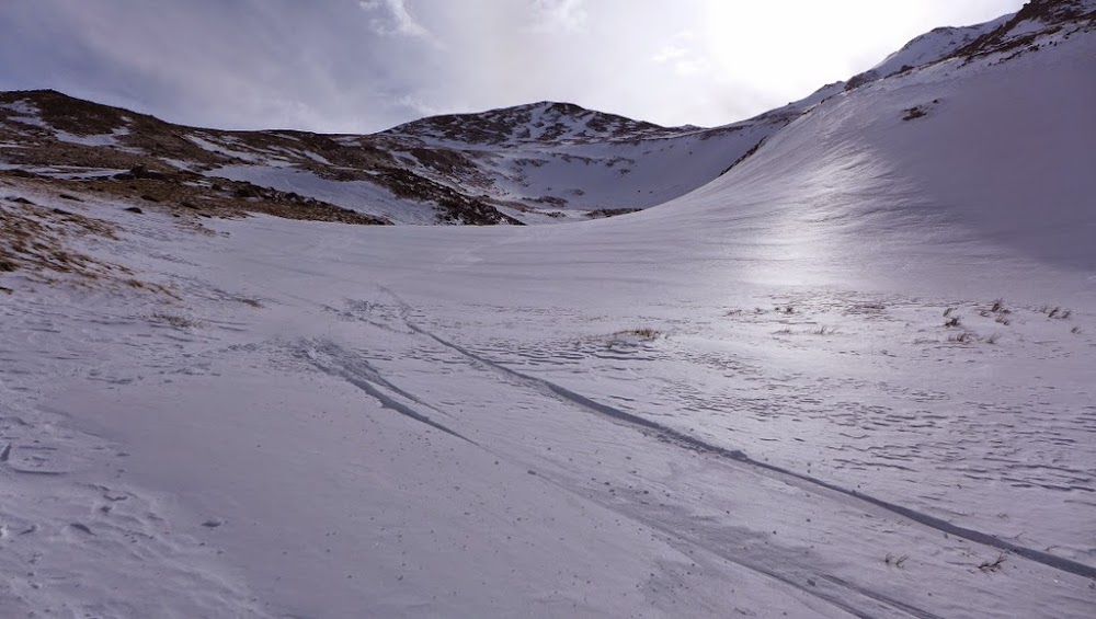
We were able to connect windblown patches of snow save for a few short sections of tundra. Once at the headwall, we picked the line on the skiers' right that everyone was comfortable with, skiing between the rocks, quickly reaching the lower basin. Amazingly, it took us 4 hours to ascend the ridge from 12k and only an hour to descend back to the same spot and our skin track, even with taking all the photos and skiing one at a time.


Approaching the headwall

Descending the headwall


Steeper slopes we avoided
Skiing out of the basin.

The eagerly anticipated treeline
The lower we got, the better and softer the snow became. Roy and I regrouped at the treeline and skied back to the car, staying in contact with snowboarders. With some amount of uphill between 11.4k and 11.2k that required a brief section of putting skins back on, skiers had a small advantage in transitions.

Check out the size of that posthole!

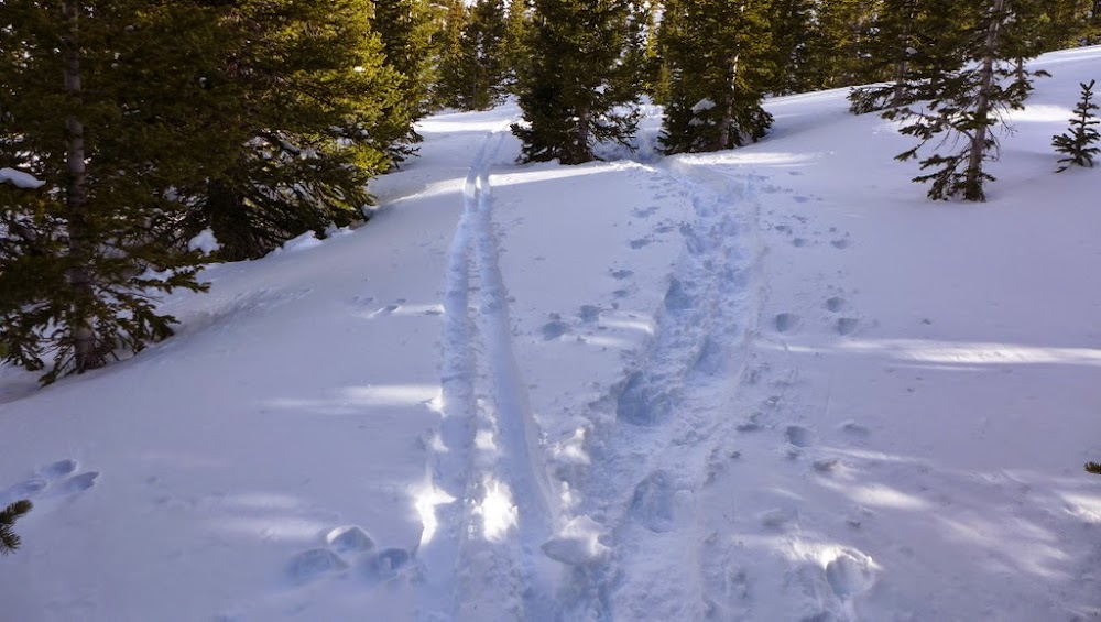
Back on the Highline trail

Neat signage

Back at the TH by 6.50pm
I reached the car just before 7pm, with Roy about 5-10 minutes ahead of me, for a total summit-to-car descent time of 3 hours. With the spring time change, it was still light out. All in, an excellent, but admittedly exhausting winter adventure on the books. Until next time!

P.S. I added a GPX track from my skin/hike/ski tour of North Massive on 01.03.16.
My GPS Tracks on Google Maps (made from a .GPX file upload):
|


