Date: October 4th, 2014
Trailhead: ~10,800 ft on Hermit Pass road
Mileage: 11.5 miles
Vertical: ~4.4k
Time: 8 hours 20 min
Partner: Will
After the first big storm of the season, I thought Sangres would be drier than other ranges and we won't need our winter gear just yet. Hermit pass road is pretty rough, but we were able to get up to about 10.8k in Will's truck.
 First good look at the peaks - Hermit
 Horseshoe lake
Some guys on ATV went ahead and we used their tracks, so they saved us some postholing - yay. They couldn't get all the way to the pass though and turned around.
 Hermit pass
 Horseshoe lake & Eureka
 Almost at the pass
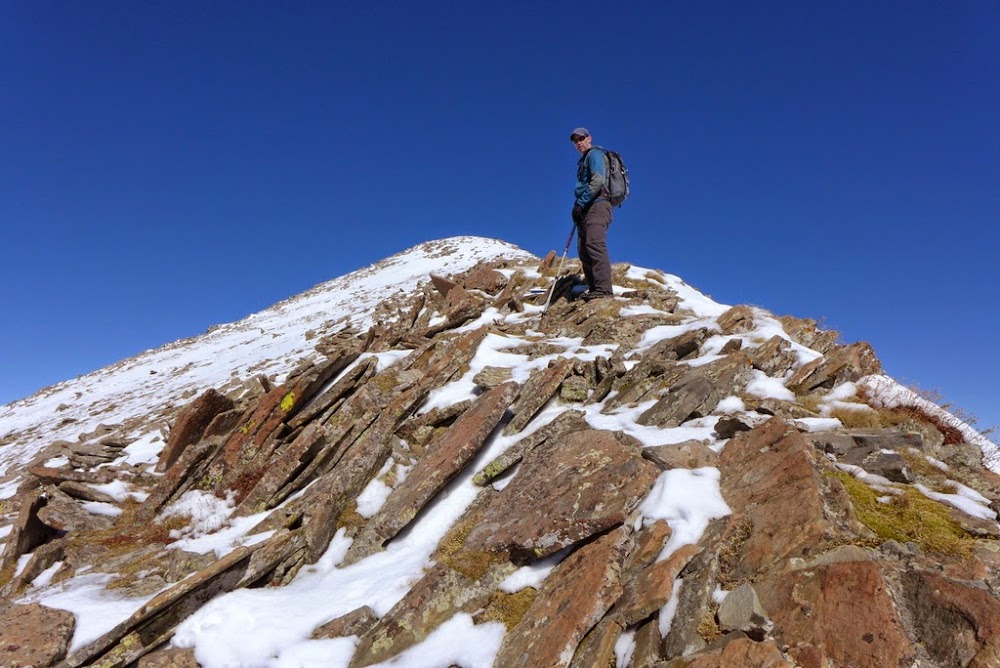 Will on the way to Rito Alto
 Sangres on a clear day
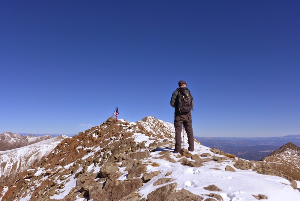 The summit ridge
 Peak of the Clouds and Spread Eagle
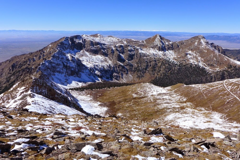 Views looking west
From Rito Alto, we continued on to Hermit, which went pretty quick, and from there assessed our chances for Eureka. It looked far!

 Rito Alto and Hermit in rear-view mirror
 Will near the top
In typical 13er fashion, we couldn't tell which one was the true summit, so we tagged both subsummits. The views were nice though.

 Crestones, Kit Carson group from Eureka
 Rito Alto and Hermit
On the descent, we still had to navigate the headwall and merge with Hermit pass road

which was slightly tricky, but not too bad

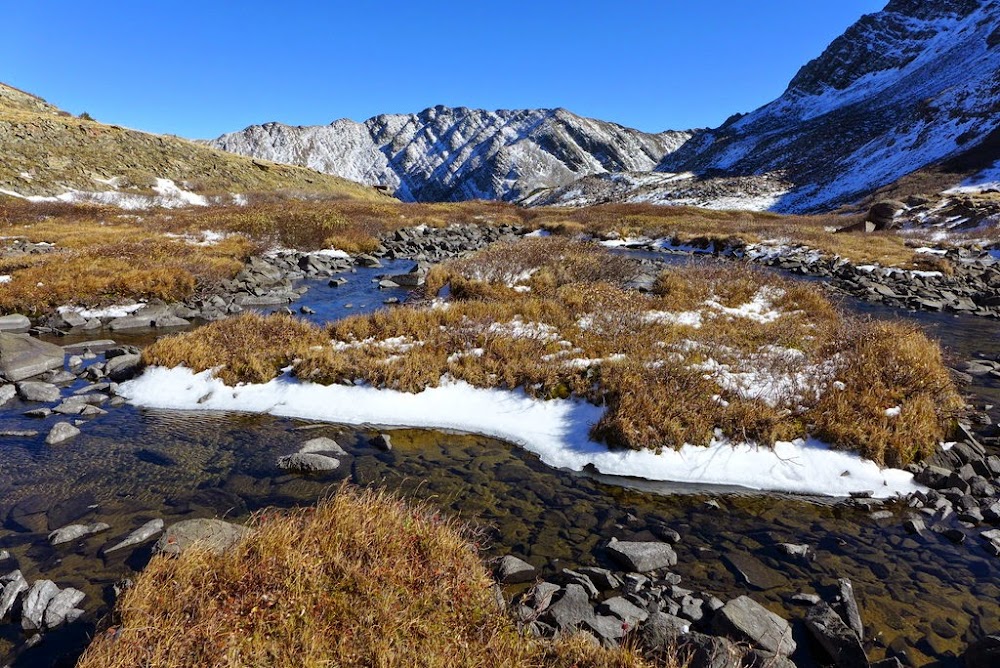
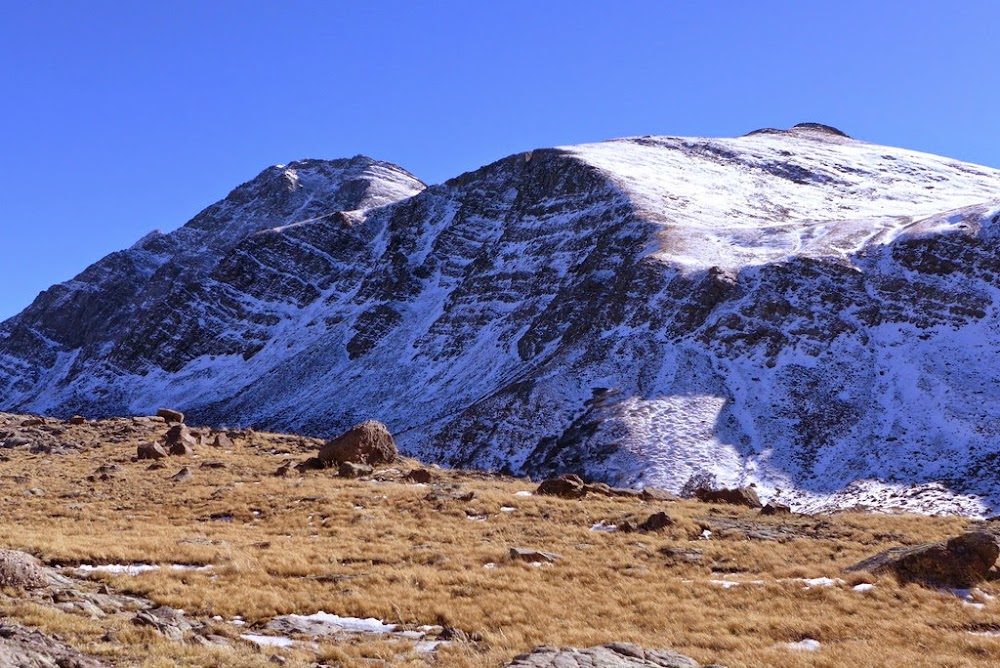
Looking back at headwall we descended. From there, it was just a quick walk back to Will's truck.
Date: October 6th, 2014
Trailhead: @8,600 ft (about a mile down the road from Valley View hot springs)
Beta: Piper14er report
Mileage: ~13 miles
Vertical: ~5.5k
Time: 9 hours 45 min
Partner: Jason
Since the weather was looking stellar, I decided to take Monday off, and Jason was game for Cottonwood A + extras. We decided to take the Hot Springs Canyon trail on the way up to Cottonwood A and to come down via Garner creek trail - makes for a nice loop. It was getting late in the season, but I was hoping for some foliage. There is a good trail all the way to the upper basin, and Jason set a good pace.


Once on the ridge, it was a straightforward tundra walk to the ridge. With western exposure, there was little snow on the slopes.
 Foliage! Gotta hit that grove on the hike out

A little snow on the almost mile-long ridge, but quite manageable in normal hiking shoes.
 Jason heading up the summit ridge
 Same view just a few days ago, just a "bit" more to the north

 Jason heading to Pt 13,123B

We decided to tag Pt 13,123B before descending into the Garner Creek drainage.
 Eagle peak
 mmmm, orange!

After some talusy moves...
 Summit of Pt 13,123B with Thirsty peak behind
We debated going for Thirsty, but I guess we were not thirsty enough for another summit (Thursty is an unranked, but a named peak). Jason was teasing me about it. I think the time consideration came into play - I had a long drive back, and the winds unexpectedly started to pick up. Finally, I wanted to see the leaves in good light, not at dusk. So down to the saddle between Pt 13,123B and Thirsty peak we went. Initial trail off the saddle was easy to find, but later we had to test our route finding skills. Good thing Jason is an excellent navigator.
 Thirsty from the saddle with Pt 13,123B


 Searching for trail


Once we connected with the Garner creek trail, it was smooth (albeit long) sailing back to the car.

 We got to see some color down lower on the trail
 Cottonwood peak on the drive out
Date: October 18th, 2014
Cottonwood peak on the drive out
Date: October 18th, 2014
Trailhead: Horn Creek TH @9,100 ft
Mileage: ~13 miles
Vertical: ~4,900 ft
Time: ~10 hours
Partner: Hugh
Two weeks later I was back in the Sangres, meeting Hugh at Horn Creek TH in the morning. Apparently it was the first day of the elk hunting season, since we immediately ran into some hunters. Not wearing orange added to a bit of excitement on an otherwise mellow day. It was great to catch up with Hugh, as we haven't seen each other since our ski of Oklahoma back in June. With lively conversation, the initial 3 mile trek went pretty quickly. Then it was time to head uphill. I was feeling extremely sluggish that day as I gave blood earlier in the week. I didn't know if I'd make it at all! Thankfully, Hugh was very patient and did all the trailbreaking in key sections. Weather was very interesting that day. We started in baselayers, and finished in down puffies.


 Long ridge
 Humboldt
 Hugh is cranking uphill, it's still warm enough for a baselayer


The summit is very nice, as you get a great view of the Crestones! Once on the summit, we spent some time watching the storm brew behind the Cresones.
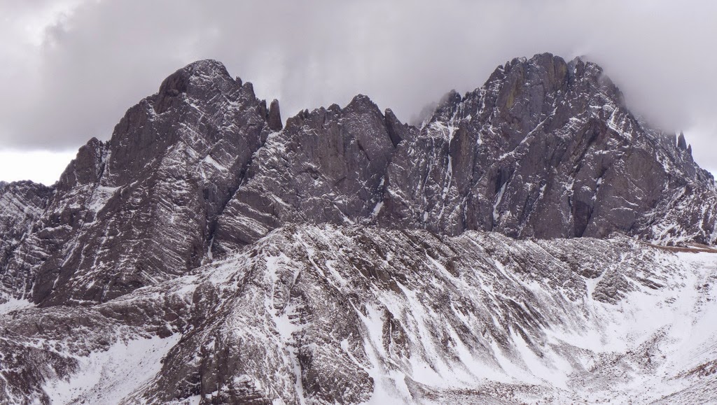
 Kit Carson & friends
 Mt. Adams & friends
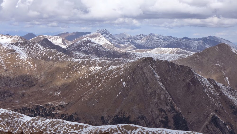 Rito Alto & friends
Eventually the storm rolled in, and it was time to head out - in a down puffy!

I was still feeling sick on the descent, so staying at low elevation, not driving too far and climbing at Shelf the next day was very nice.
Date: November 2nd, 2014
Trailhead: Zapata Falls TH @9,100 ft
Mileage: ~ 12 miles
Vertical: ~ 5,200 ft
Time: ~8 hours 45 min
Partner: Jason
The weather was not looking great, it just wasn't. But for most of the time, we don't have the luxury of midweek hikes and have to work with constraints that the weekends provide. After a great day of climbing at Shelf on Saturday (for me), I made the 2.5 hour drive to the TH to meet with Jason in the morning. We checked the weather one more time, looked at socked in peaks, listened to the howling wind... and set off on the familiar trail. Since our hike of
California peak earlier this summer, Twin Peaks were on our mind.
 Not much sun for a sunrise
 Starting out on the trail
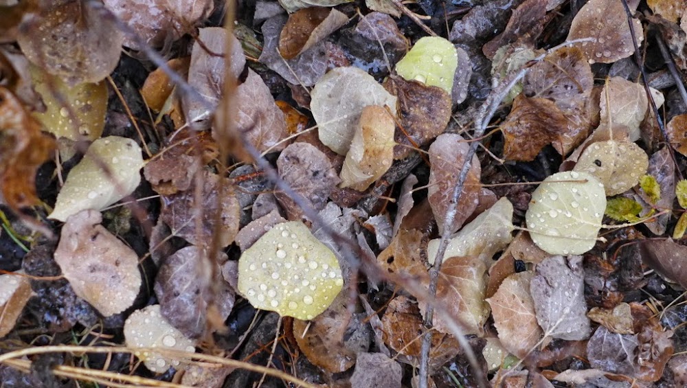
 A little bit of snow higher up. At least we are in the trees on the approach, hiding from the wind
 Higher in the basin. Visibility is not great. For some reason, we just keep moving
 Zapata lake
We discuss our options.. and keep moving.
 Heading up
 With a dusting of snow and rime on it, the talus is sleek
 Thankfully, sometimes, talus gets intercepted by grass
 A pair of big horn sheep appears out of the fog and stares at us. I think I know what they are thinking...
 "Silly humans"

We continue on as well.


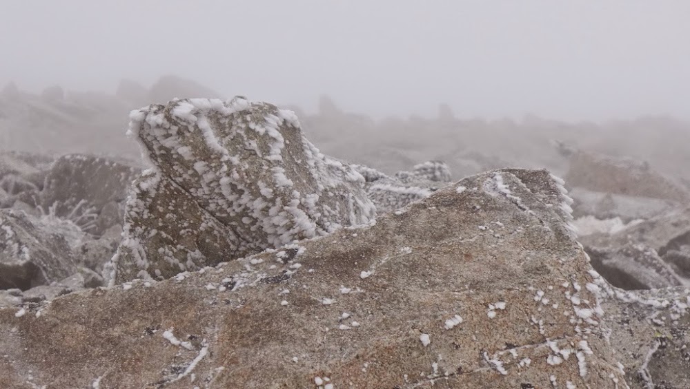
Somewhere around 12.5k, we have another discussion if we should continue. Both unwilling to quit, we keep going.

 Visibility is not great - we've been navigating by instruments since we left the trail at Zapata lake.
 The winds are not actually that bad, even on the summit ridge
 GPS thinks it's the summit.

We carefully descend, trying not to lose each other in the fog. The mantra: I don't care how long it takes, as long as we get down in one piece.
 I manage to slip twice, but Jason is more careful. After what seems like eternity, we are back on grass!
 We even somehow manage to find a faint trail, that makes a descent to the lower basin easier. Of course we quickly lose it.

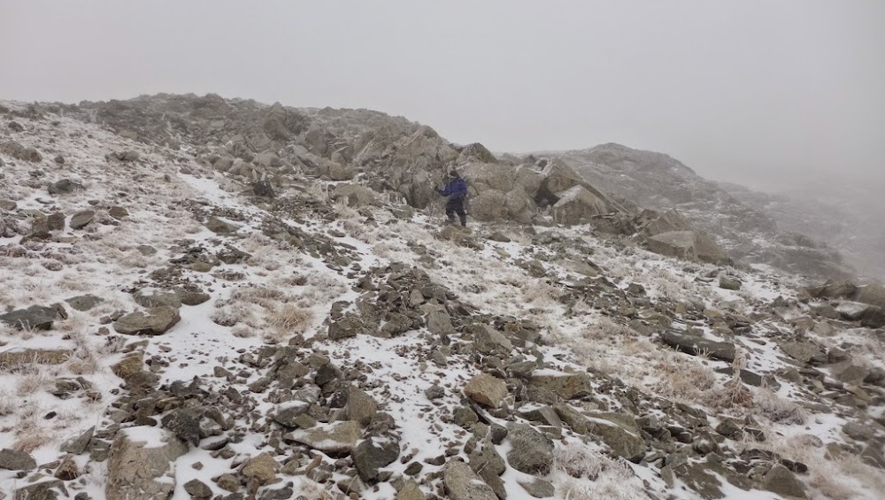 As we get lower, it really starts to snow

Zapata lake is down there...somewhere.
 Last tricky headwall before the lake

Finally on trail. Smooth sailing? Nope, it's snowing pretty hard. Thankfully, the treeline is fairly close.
 Navigation by instruments continues, as it's hard to read the trail under 5 inches of new snow.
 It's interesting to witness a transformation from Fall to Winter in just a few hours
 As we get lower, the visibility improves, it gets warmer, but we discover the snow line now extends all the way to the parking lot @9k
 California, 13,660A and Twin Peaks in the waning daylight
This concludes our irregular scheduled programming of
Fall Hikes in the Sangres.
Winter in the Sawatch is almost here...