Download Agreement, Release, and Acknowledgement of Risk:
You (the person requesting this file download) fully understand mountain climbing ("Activity") involves risks and dangers of serious bodily injury, including permanent disability, paralysis, and death ("Risks") and you fully accept and assume all such risks and all responsibility for losses, costs, and damages you incur as a result of your participation in this Activity.
You acknowledge that information in the file you have chosen to download may not be accurate and may contain errors. You agree to assume all risks when using this information and agree to release and discharge 14ers.com, 14ers Inc. and the author(s) of such information (collectively, the "Released Parties").
You hereby discharge the Released Parties from all damages, actions, claims and liabilities of any nature, specifically including, but not limited to, damages, actions, claims and liabilities arising from or related to the negligence of the Released Parties. You further agree to indemnify, hold harmless and defend 14ers.com, 14ers Inc. and each of the other Released Parties from and against any loss, damage, liability and expense, including costs and attorney fees, incurred by 14ers.com, 14ers Inc. or any of the other Released Parties as a result of you using information provided on the 14ers.com or 14ers Inc. websites.
You have read this agreement, fully understand its terms and intend it to be a complete and unconditional release of all liability to the greatest extent allowed by law and agree that if any portion of this agreement is held to be invalid the balance, notwithstanding, shall continue in full force and effect.
By clicking "OK" you agree to these terms. If you DO NOT agree, click "Cancel"...
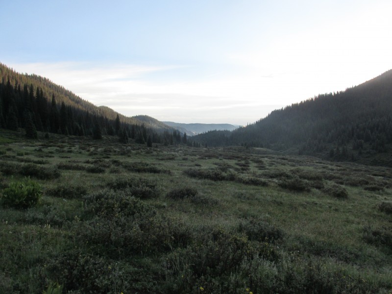
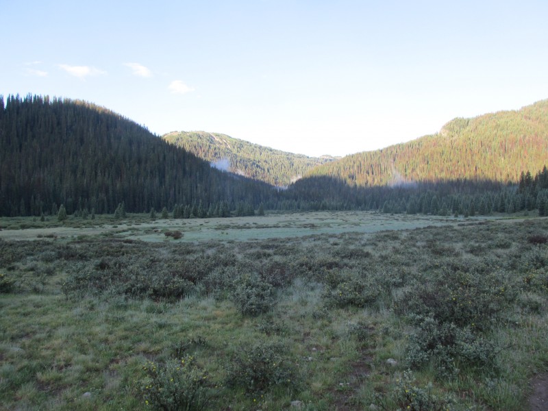
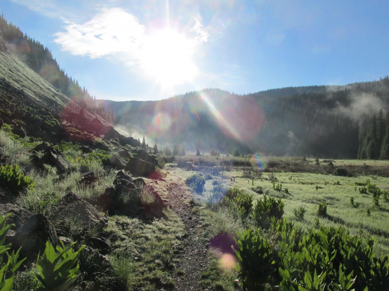
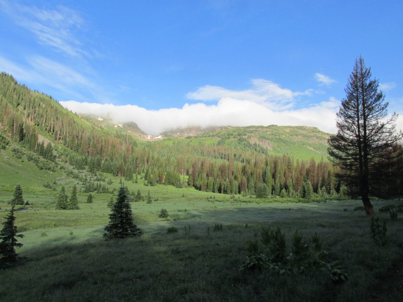
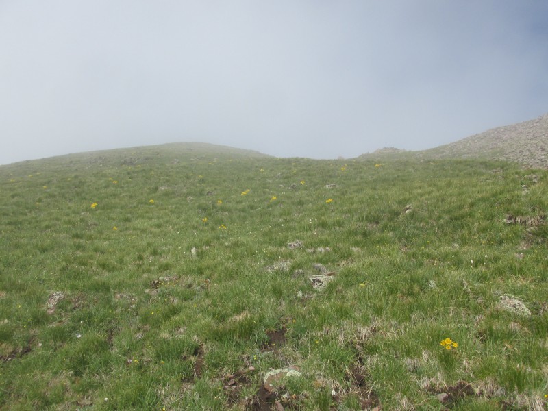
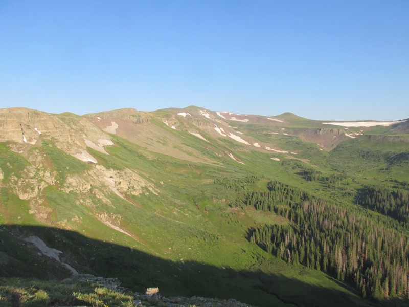
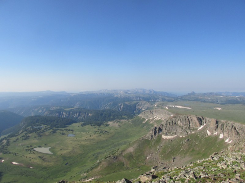
With only a map and a few far away pictures of these peaks I headed into the unknown. My original plan was to traverse from Velvet BM to Snow BM. A soupy forecast led me to shorten the traverse. I headed up the Three Forks trail at 5:45 and made excellent time up to conejos falls. The trail up to this point had been almost a superhighway. After the falls it became less defined and more marshy. As I entered the remote valley I was greeted with spectacular views. It looked like the easiest route up 12887 was to ascend the grassy slopes towards Lake Ann and traverse over a bench to the south ridge. A direct ascent looked unpleasant with thick vegetation and steep loose terrain.
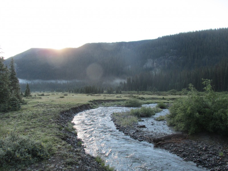
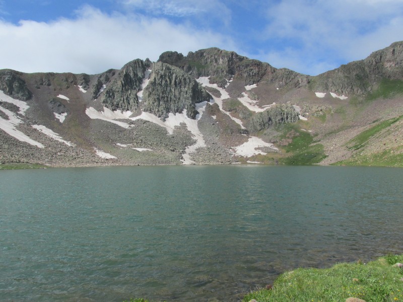
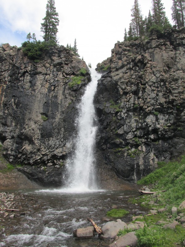
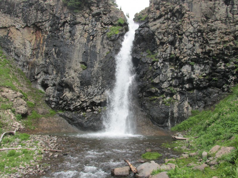
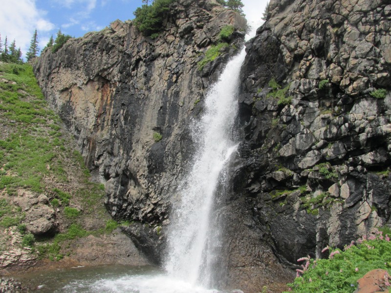
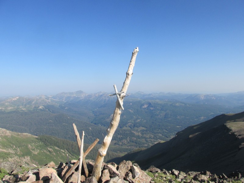
north fork river crossing mighty 12727
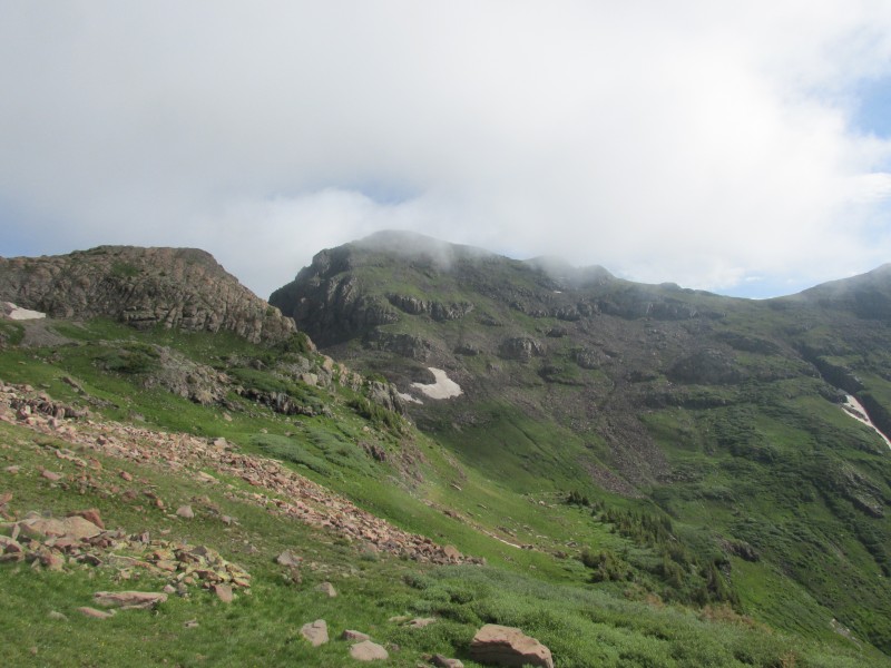
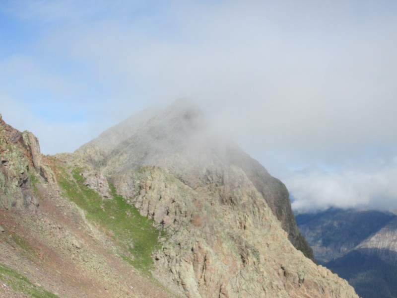
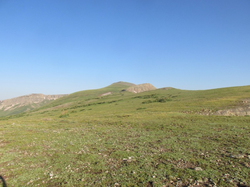
I took a little side trip to gather some beta on another potential summit, 12507. I really wanted to climb thus peak but it looked almost impossible from the east. So I trudged up 12887, winding my way up steep grass to the summit. Unfortunately clouds obscured my vision and my summit stay was short. I returned to the saddle and headed up 12741, a soft ranked 12er. It was a pleasant stroll up stable talus and grass. The true summit had no cairn. Clouds blocked out any views on this summit, so I descended. The ridge to Snow looked like it would go at class 3, but the late time and exposed hike out persuaded me not to try.
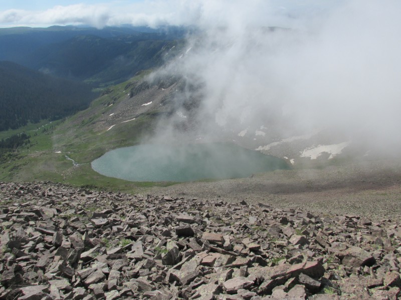
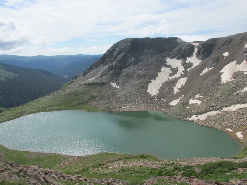
12887 12507 up to 12741 Lake Ann 12507 again
One out of six ranked summits I had planned for the day was not the ratio I was going for, but when you have no beta, a long approach, and monsoon storms this is what you get. So I headed down, not totally defeated because of the lush beautiful valley I was surrounded by. At the falls I took a break to refuel and enjoy the view.
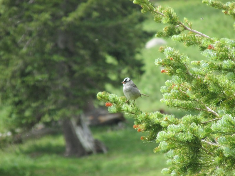
this bird serenaded me Snow BM These birds made a racket Conejos Falls
I took a quick look at the sky and said "oh shit", it was only 11:00 but I knew I had less than an hour before all hell broke loose. So I strapped on my pack and started to run down the final four miles of trail. I managed to make it all the way down to Three Forks in 20 minutes. Not bad, but I could now see rain up north towards Plataro, great I had ten minutes of dry left. Not wanting to be a lightning rod in the open valley I ran towards the trees. I just made it to the forest when the first rumbles of thunder echoed through the valley. I knew rain would commence any second now. I really thought I could make it back to the trailhead now. Boy was I wrong, it started to rain then hail, I got wet but not drenched. Soon after the precipitation started I made it to the trailhead.
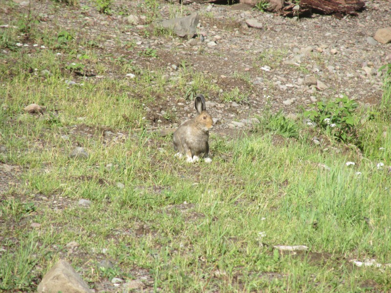
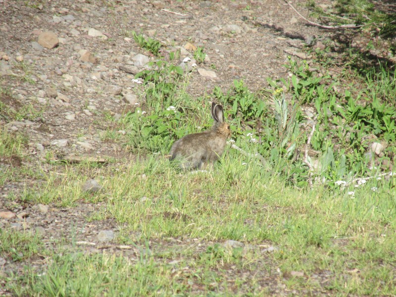
That afternoon it became sunny and clear at 4:00, no more clouds for the rest of the day. We enjoyed watching a snowshoe hare rummaging for food near our campsite.
Snowshoe
July 17
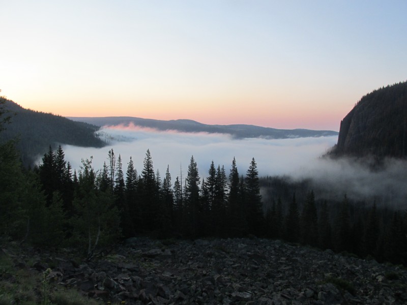
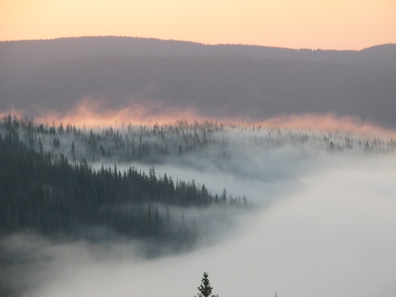
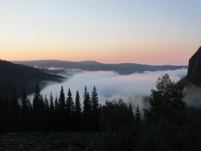
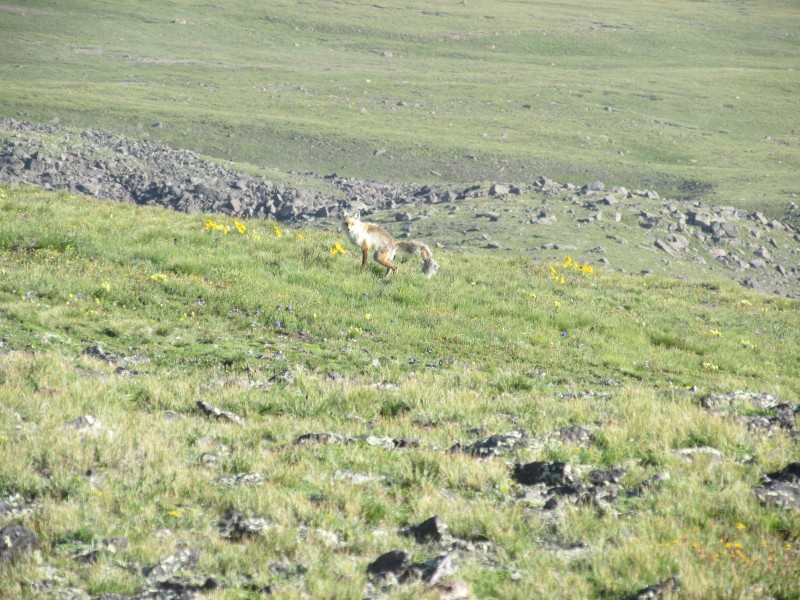
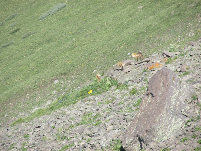
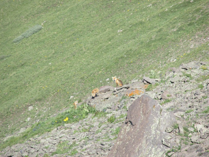
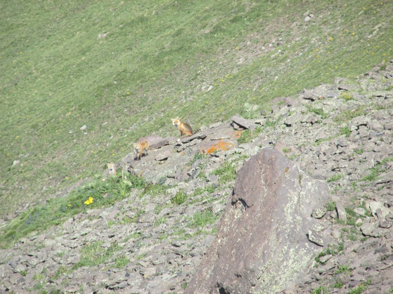
I hiked up the road a little and enjoyed a fabulous sunrise. The hike up on trail 720 is short and sweet, I quickly made the saddle and was hiking up the long grassy east ridge of conejos. There were a few foxes who watched me intently. Before long I was sitting on the summit and it was sunny, what a novel concept.
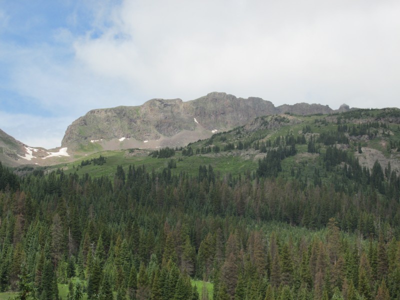
Long east ridge
The hike over to 12555 is long but easy, I watched a family of foxes play for a while, the weather held for me and I was able to leisurely walk back to camp.
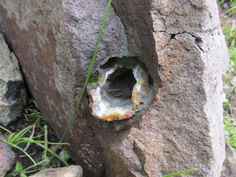
Cool rock along the road
This was the longest time I had spent in the south San Juan's and it was amazing. The storms are intense here, but the solitude is unbeatable. I will be back to climb the 12ers I missed out on.
Thumbnails for uploaded photos (click to open slideshow):
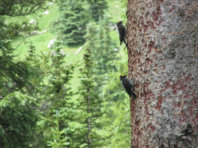
American 3 toed Woodpeckers I believe is what those noisy birds were. They always seem to pick the trees I'm camped next to and make for annoying, but effective wake up calls.
I dig these kinds of reports. No bragging, no unnecessary drama...just nature and your perception of and experience with her. Nice job.
Caution: The information contained in this report may not be accurate and should not be the only resource used in preparation for your climb. Failure to have the necessary experience, physical conditioning, supplies or equipment can result in injury or death. 14ers.com and the author(s) of this report provide no warranties, either express or implied, that the information provided is accurate or reliable. By using the information provided, you agree to indemnify and hold harmless 14ers.com and the report author(s) with respect to any claims and demands against them, including any attorney fees and expenses. Please read the 14ers.com Safety and Disclaimer pages for more information.
Please respect private property: 14ers.com supports the rights of private landowners to determine how and by whom their land will be used. In Colorado, it is your responsibility to determine if land is private and to obtain the appropriate permission before entering the property.