Download Agreement, Release, and Acknowledgement of Risk:
You (the person requesting this file download) fully understand mountain climbing ("Activity") involves risks and dangers of serious bodily injury, including permanent disability, paralysis, and death ("Risks") and you fully accept and assume all such risks and all responsibility for losses, costs, and damages you incur as a result of your participation in this Activity.
You acknowledge that information in the file you have chosen to download may not be accurate and may contain errors. You agree to assume all risks when using this information and agree to release and discharge 14ers.com, 14ers Inc. and the author(s) of such information (collectively, the "Released Parties").
You hereby discharge the Released Parties from all damages, actions, claims and liabilities of any nature, specifically including, but not limited to, damages, actions, claims and liabilities arising from or related to the negligence of the Released Parties. You further agree to indemnify, hold harmless and defend 14ers.com, 14ers Inc. and each of the other Released Parties from and against any loss, damage, liability and expense, including costs and attorney fees, incurred by 14ers.com, 14ers Inc. or any of the other Released Parties as a result of you using information provided on the 14ers.com or 14ers Inc. websites.
You have read this agreement, fully understand its terms and intend it to be a complete and unconditional release of all liability to the greatest extent allowed by law and agree that if any portion of this agreement is held to be invalid the balance, notwithstanding, shall continue in full force and effect.
By clicking "OK" you agree to these terms. If you DO NOT agree, click "Cancel"...
Report Type
Full
Peak(s)
New York Mountain - 12550 "Finnegan Peak" - 13,352 feet
Point 12,730 - 12730 Gold Dust Peak - 13,398 feet
Point 12,525 - 12525
New York Mountain 12,550
"Finnegan Peak" 13,346
Point 12,730
Gold Dust Peak 13,380
Point 12,525
August 20, 2013
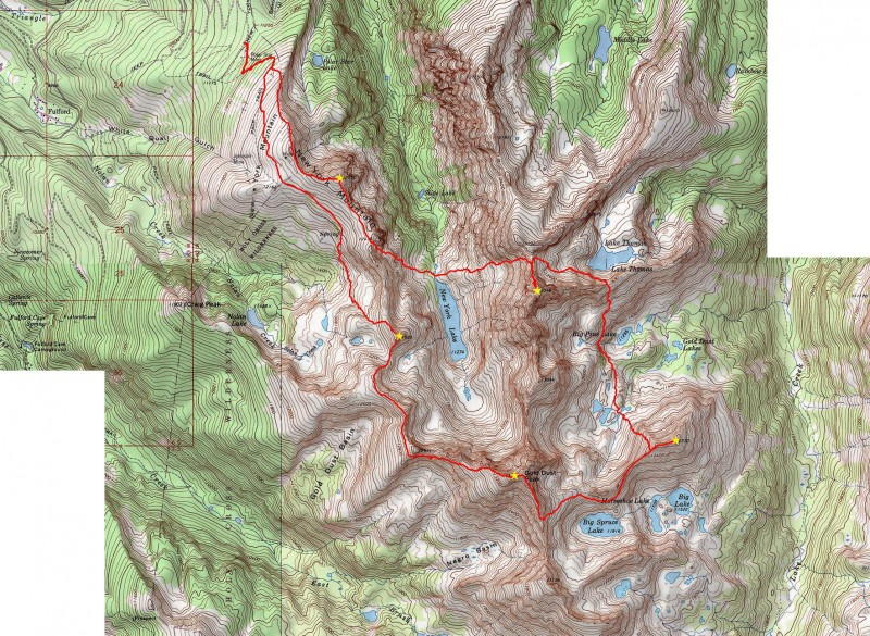
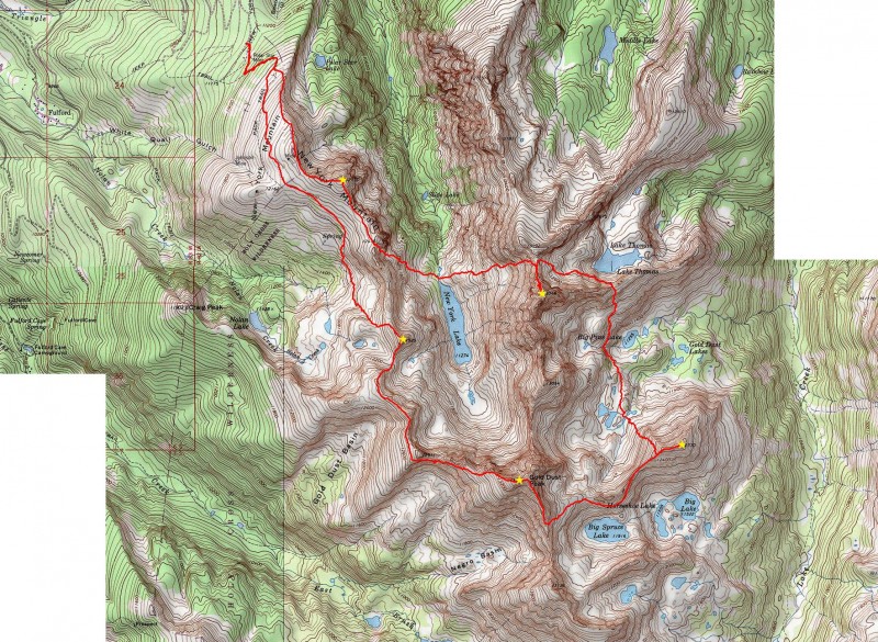
~13.2 Miles, ~7,400 Gain
TH: New York Mountain trailhead (Near Polar Star Hut); High clearance recommended. ~3.5-4 hours from Denver.
Max difficulty: Class 3+
Thanks to John Kirk for providing me with the beta for this linkup. He saved me some serious bushwhacking and "class 4" boulder hopping.
****Please note: This was completed in 2013 and is posted for beta purposes.****
Enjoying a fine night's sleep in the back of the car parked at the trailhead, I woke up and was hiking up the New York Mountain trail at 4:00 AM. The trail was easy to follow as it switched back up the mountain following an old mining road. According to a map (which I can't seem to locate at the moment) and a sign, there is a trail to New York Lake; however, from what I have been told and what I observed, there is no "easy-to-follow" trail leading to the lake. Following this ghost trail may lead to "class 4" boulder hoping and an obnoxious bushwhack. Maybe someone can shed some light regarding this trail?
Since the trail does not go to the summit, I departed the trail at ~11,600 and started up the mellow class 2 north slopes of New York Mountain. Some short areas of talus were encountered but for the most part, the climb was an enjoyable grassy hike. I arrived on the summit of New York mountain at 5:15 AM. The sky was still dark so I didn't have any good views. A light breeze made things cool so my summit stay was short.
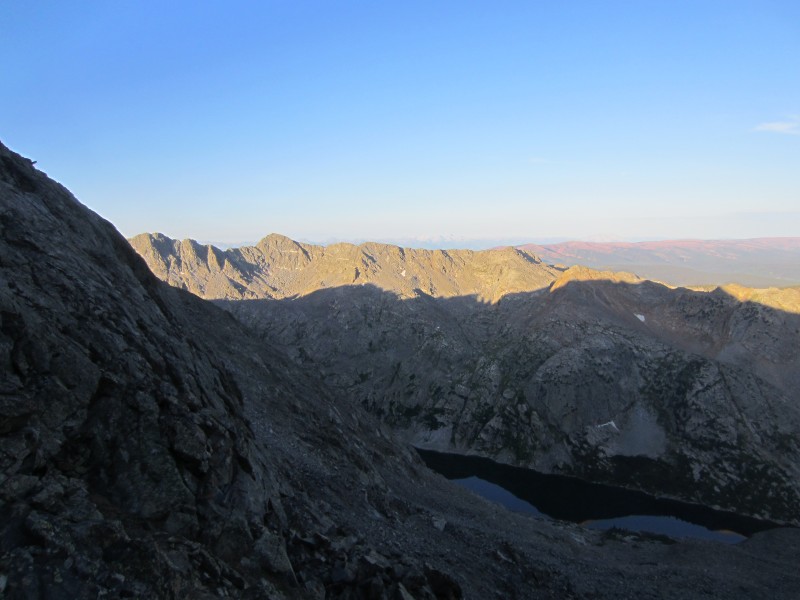
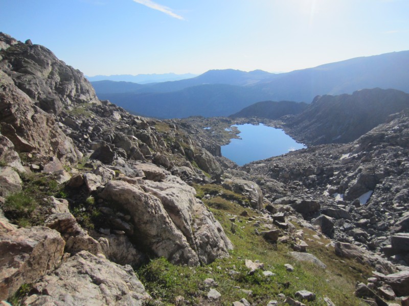
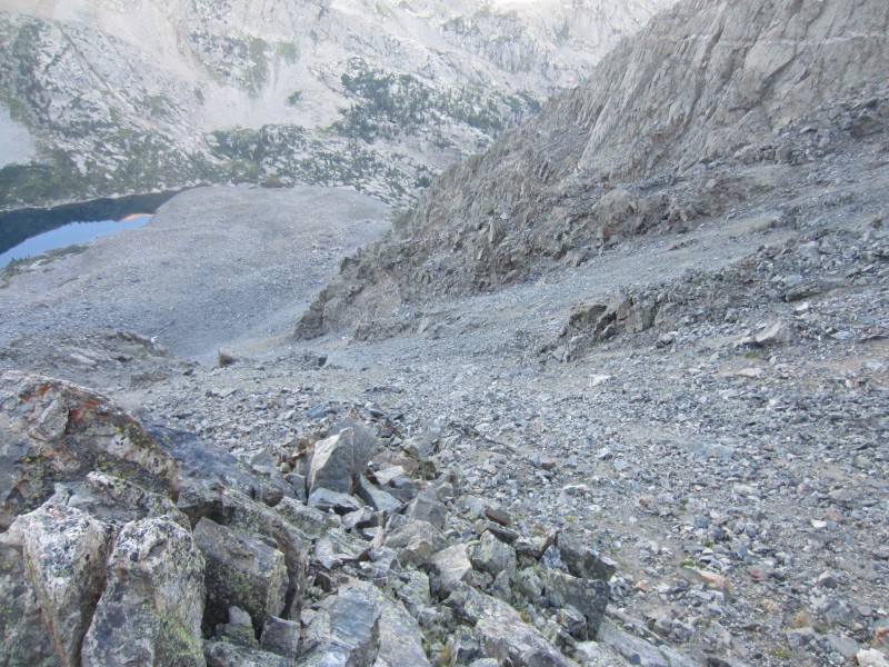
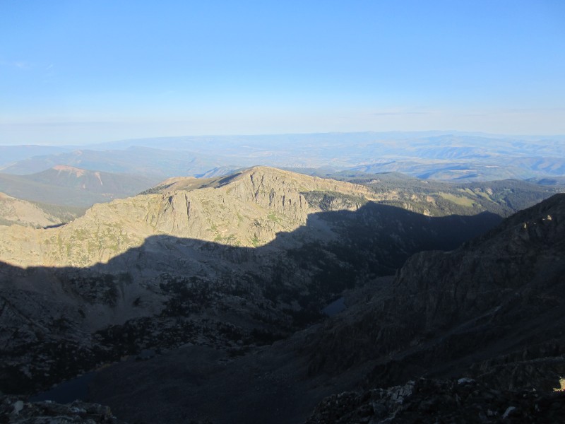
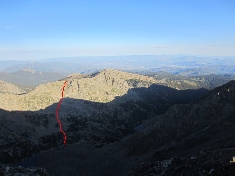
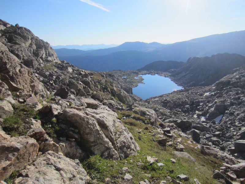
I descended south-southwest off of New York Mountain looking for a gully that would allow me to descend towards New York Lake. Prominent cliff bands guard the east face of New York mountain preventing easy access to New York Lake. Just when I was starting to get worried there wasn't going to be a way, I found a possible gully south of Point 12,475. Without much daylight yet, I was hesitant to start my descent since route finding looked problematic.
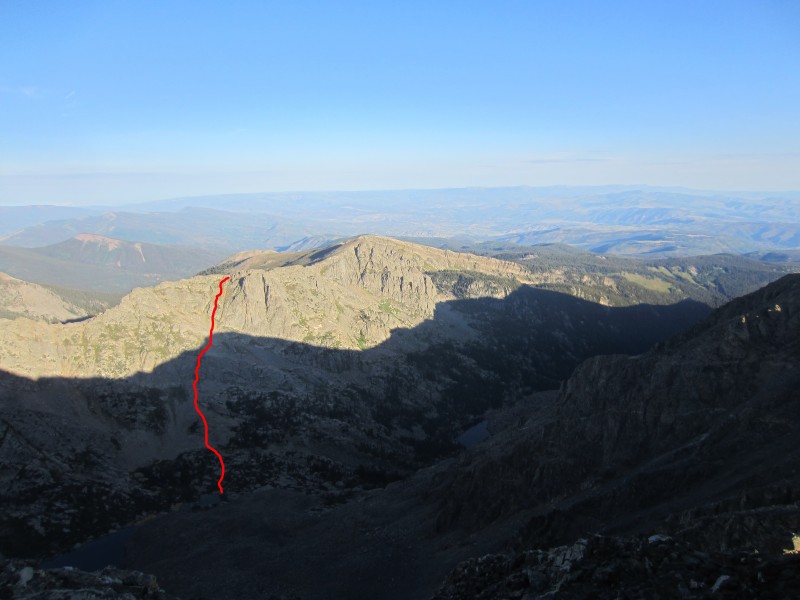
Starting down the gully, I encountered some short sections of class 3 to bypass the initial slabby cliff band but was stopped with a harder to bypass cliff around ~11,800. A longer and more sustained class 3 (some would argue class 4) ledge system led me to another gully which allowed me to descend to New York Lake. An easier but longer descent might be achieved by descending east down a gully from the New York Mountain-Point 12,525 saddle.
My route down from New York Mountain.
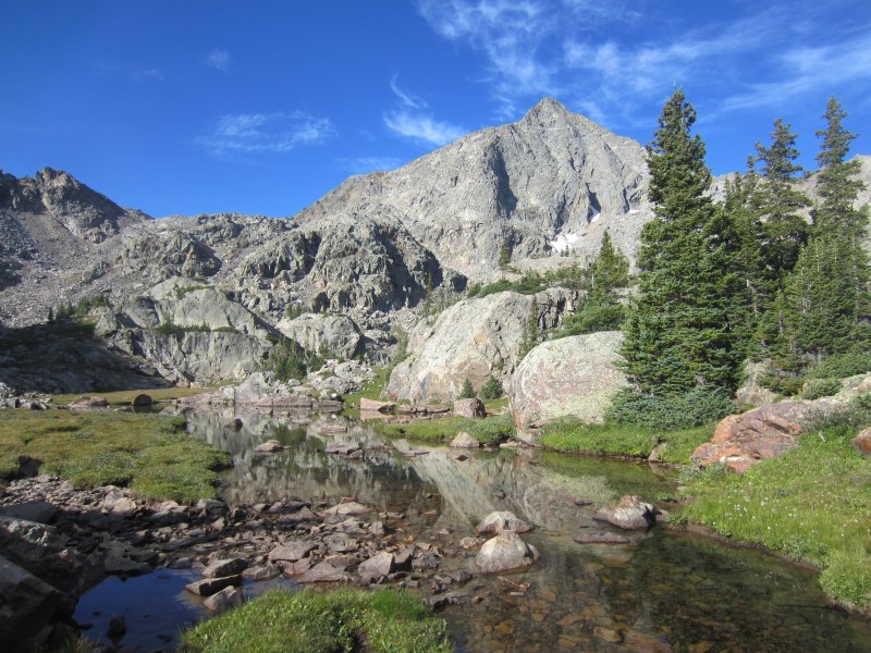
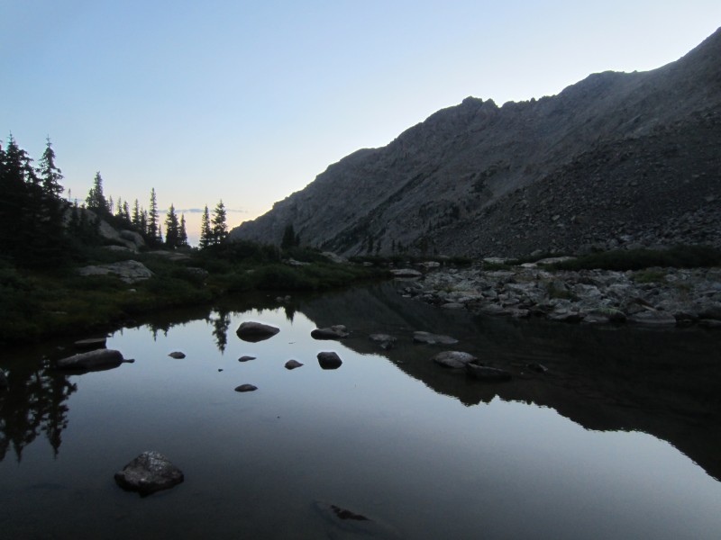
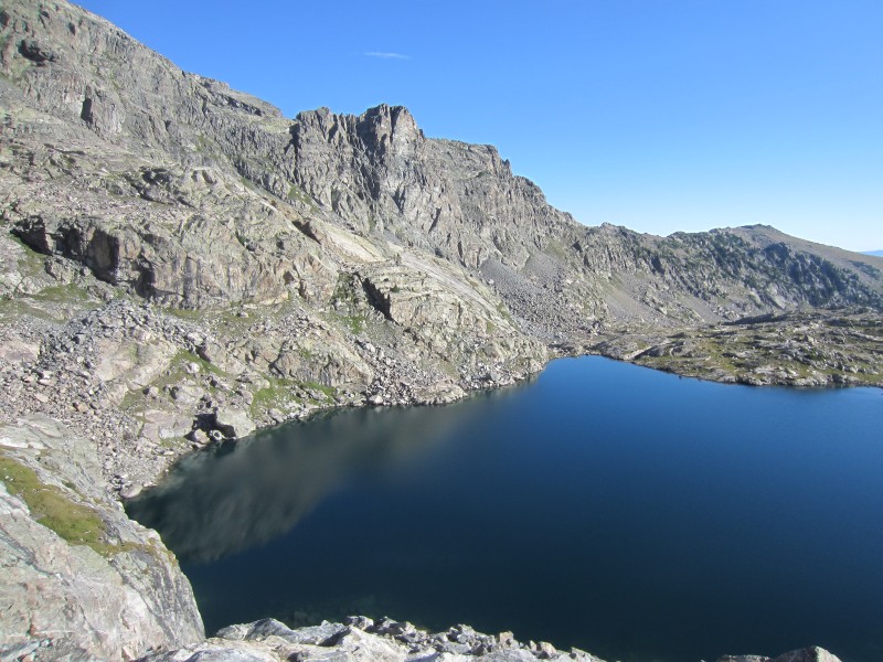
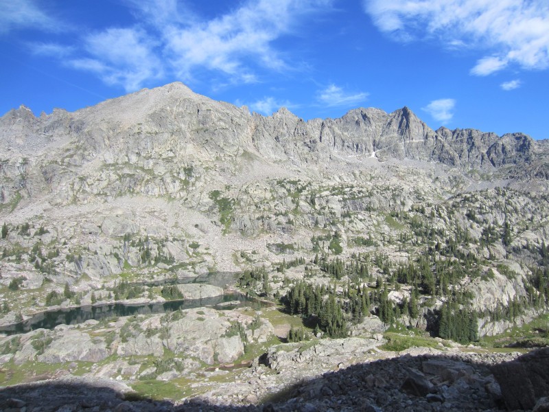
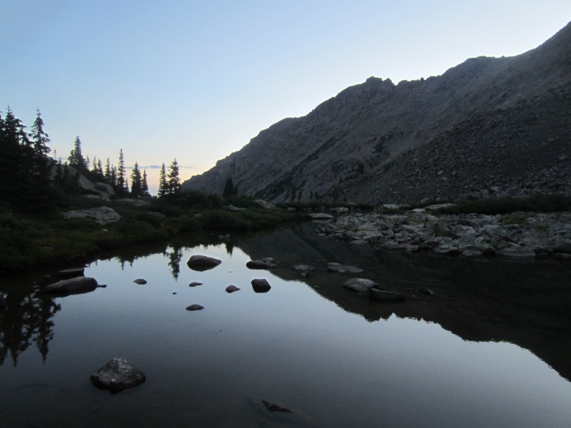
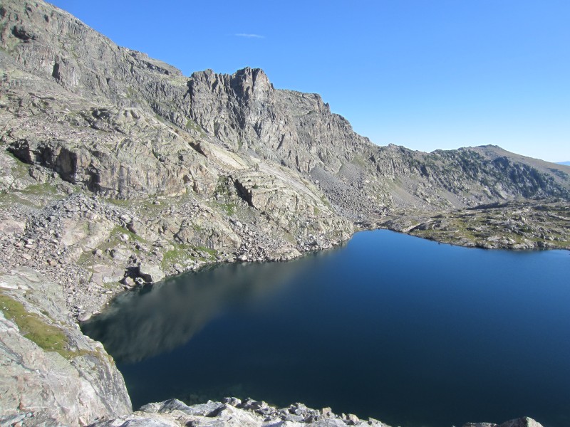
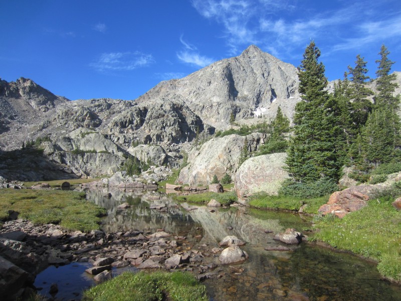
New York Lake.
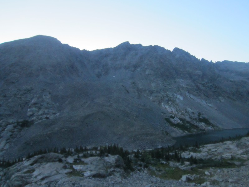
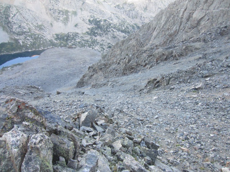
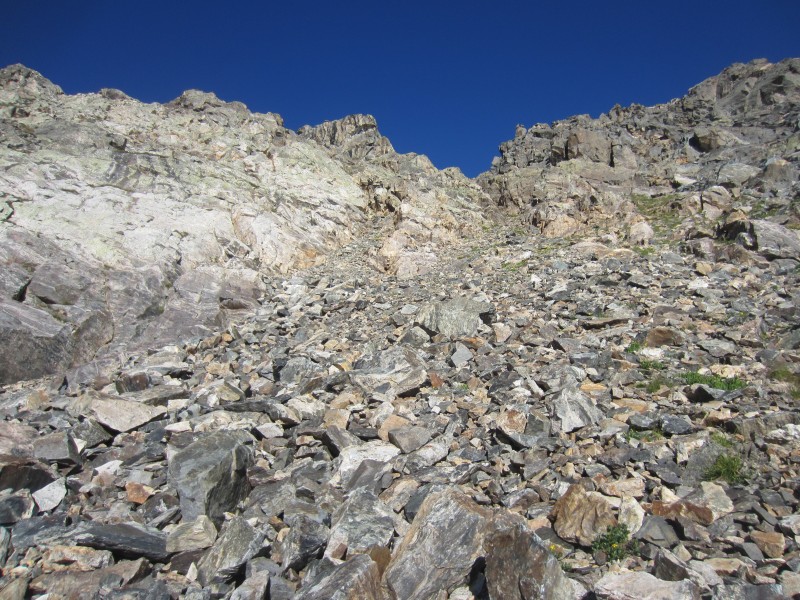
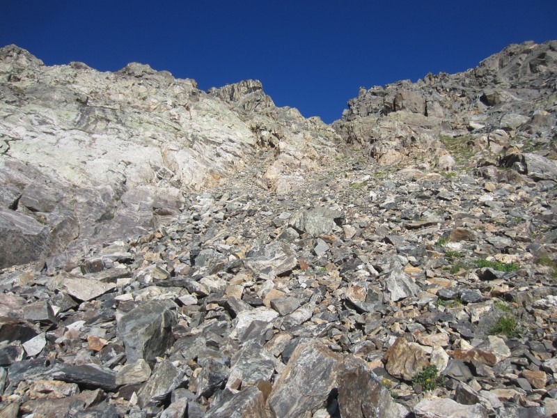
With daylight increasing, I was not excited with what I saw for my ascent up "Finnegan" - nothing but a long obnoxious talus climb. The climbing up the talus was slow and filled with thoughtful language.
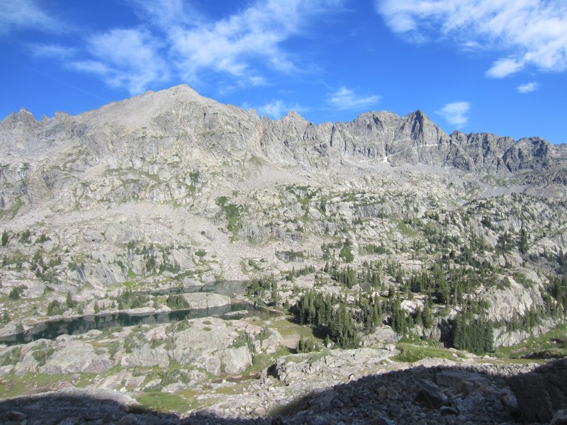
"Finnegan's" horrible talus gully and New York Lake, taken on my descent to New York Lake
New York Lake from the talus on "Finnegan"
Endless talus up "Finnegan's" west slope.
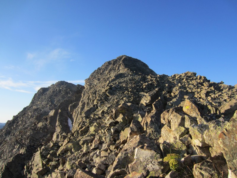
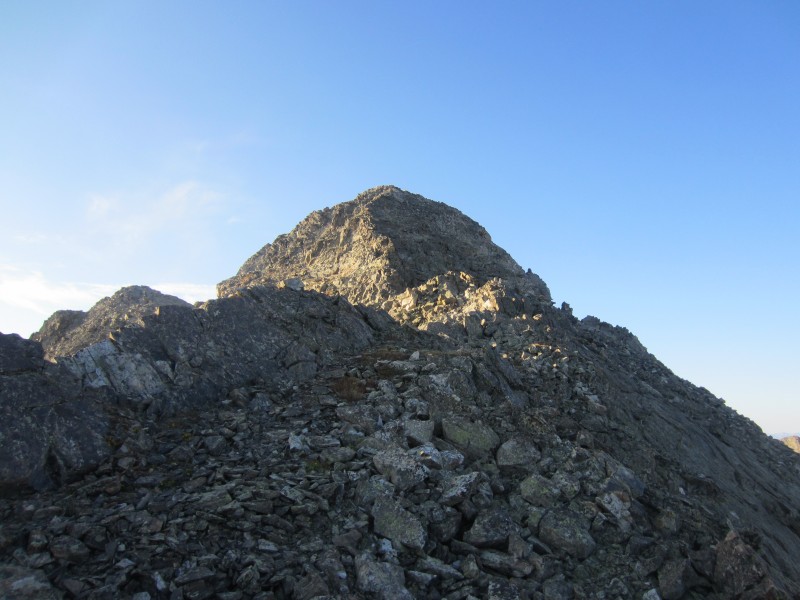
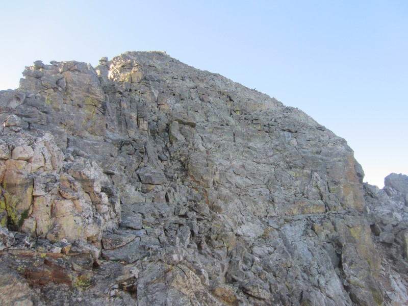
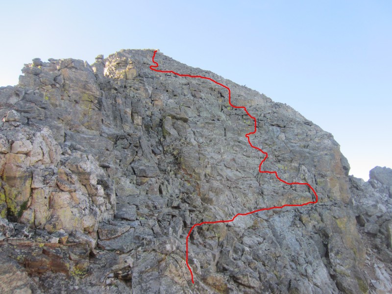
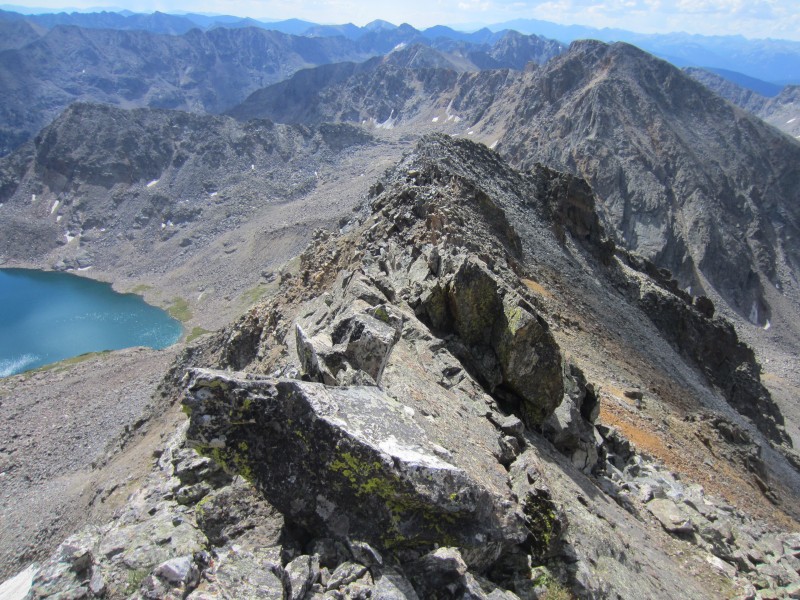
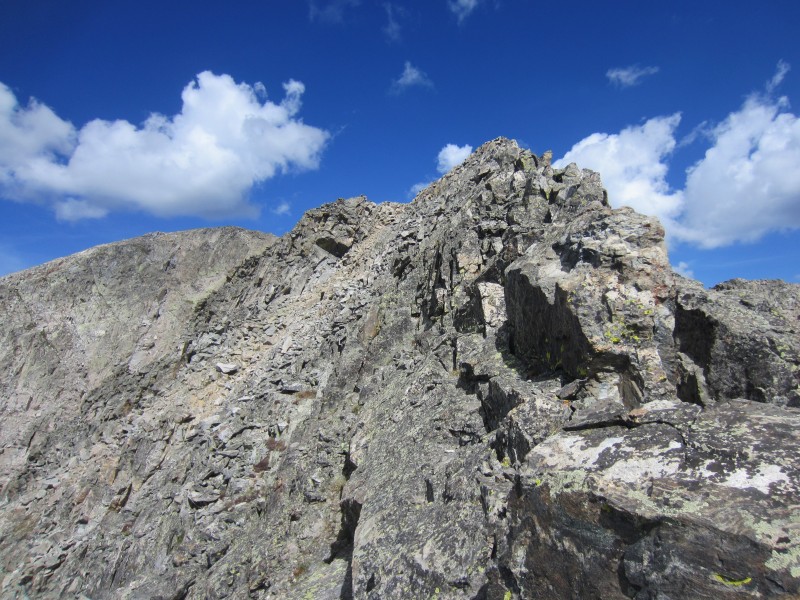
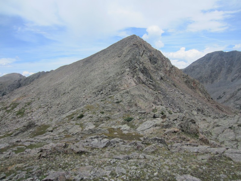
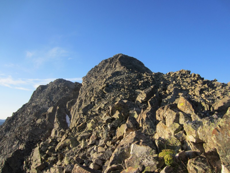
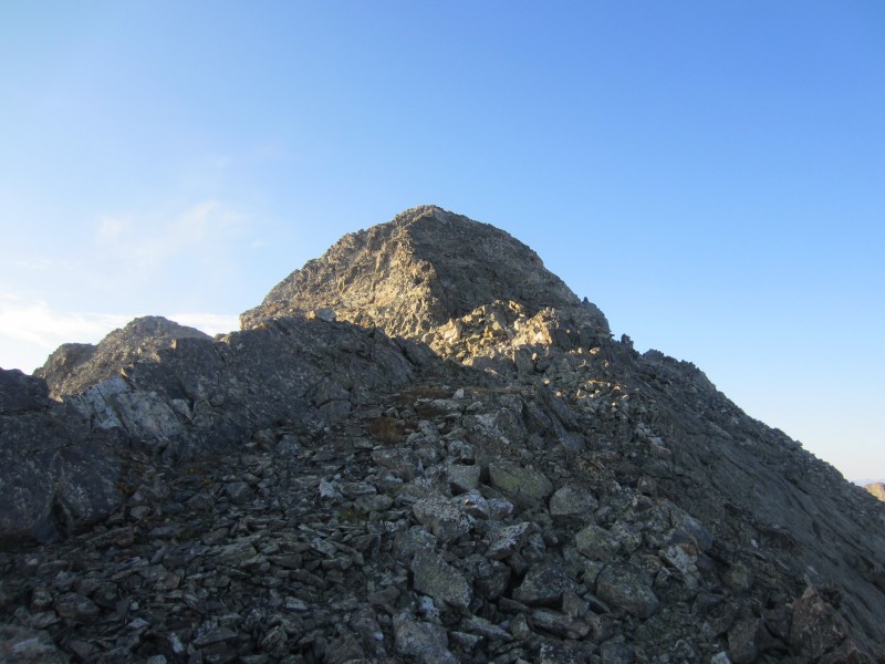
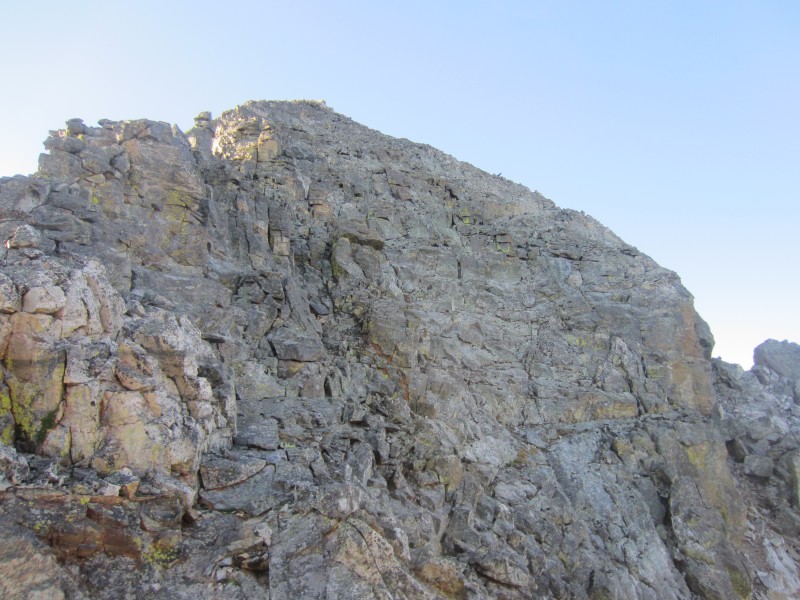
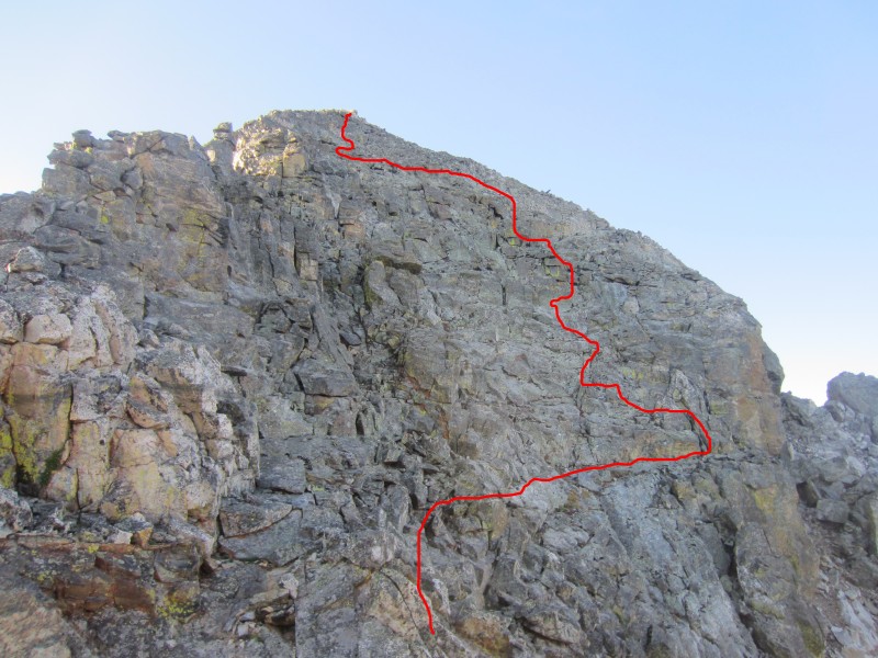
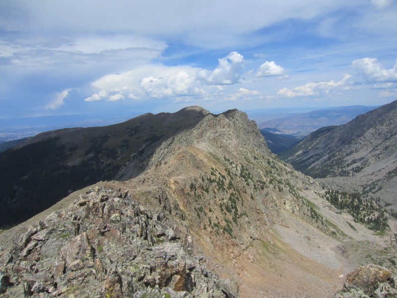
As I neared the Point 13,092-"Finnegan" saddle, I noticed a few gendarmes at the saddle which would limit easy climbing on the ridge crest. I veered to the south side of the gendarmes and started up the north ridge on "Finnegan." Staying on the ridge crest direct would prove to be 5th class climbing so I searched for an easier path on the west side of the ridge. With careful route finding, I was able to stay on ledges and kept the climbing at class 3. Without a doubt, it would be easy to get onto class 4 terrain. The route finding was sinuous as I weaved my way up short cliff bands and ledges looking for the easiest path. The climbing was sustained and was on enjoyably solid rock. I arrived on the summit of "Finnegan" at 7:40 AM.
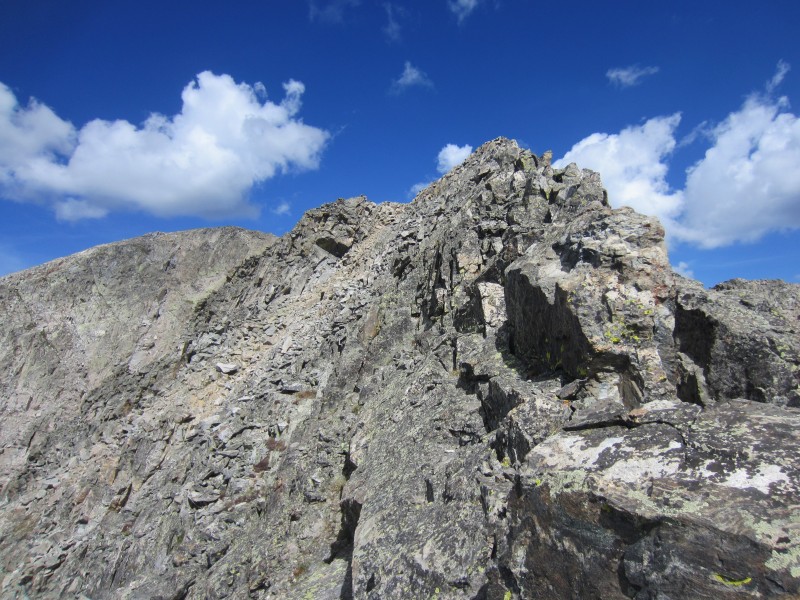
"Finnegan's" north ridge.
"Finnegan's" north ridge.
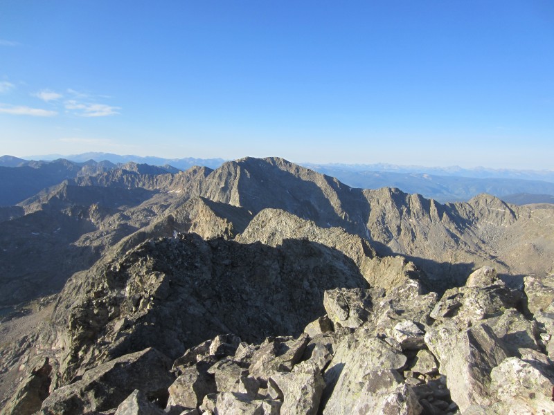
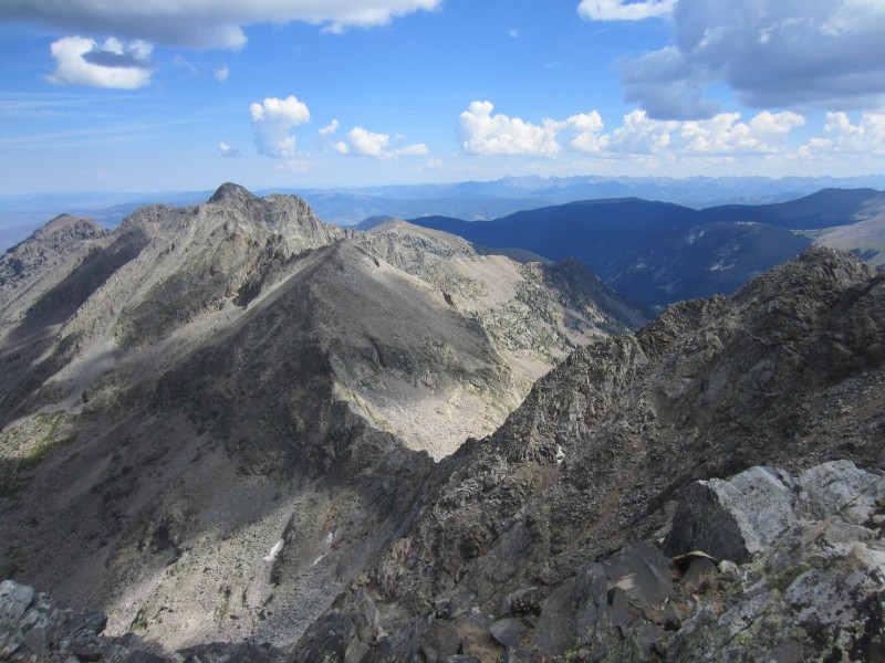
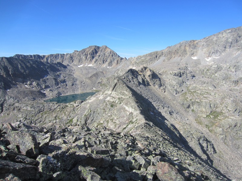
Gold Dust from the summit of "Finnegan"
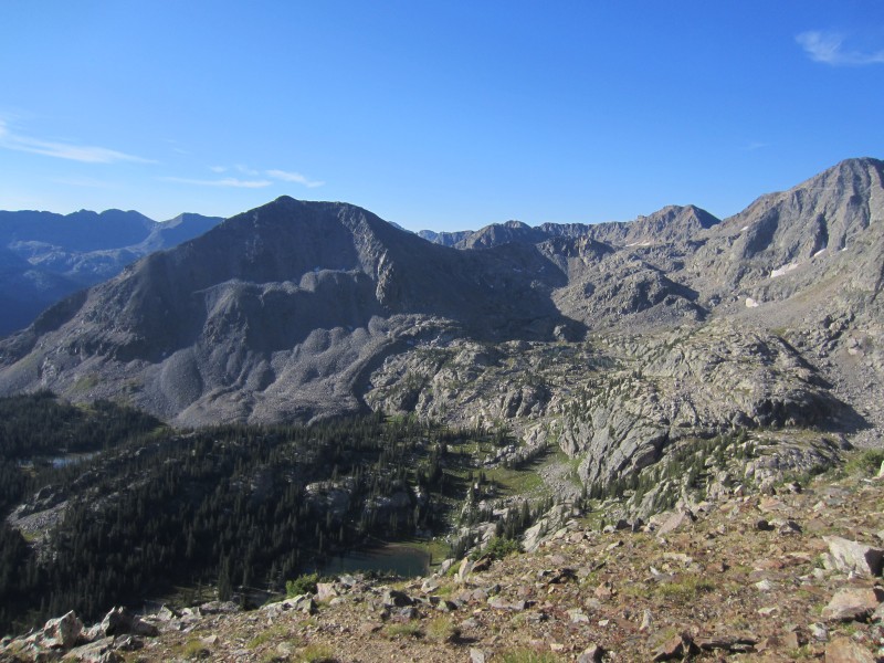
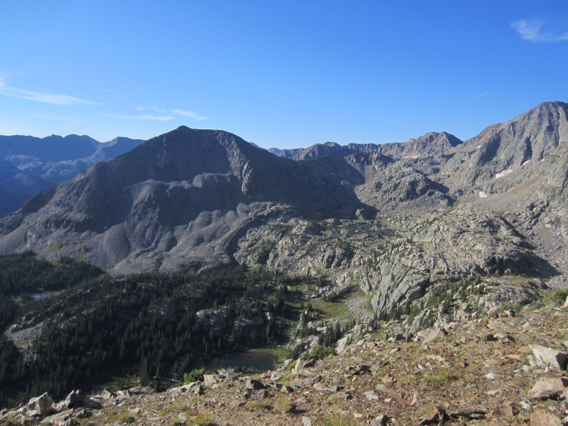
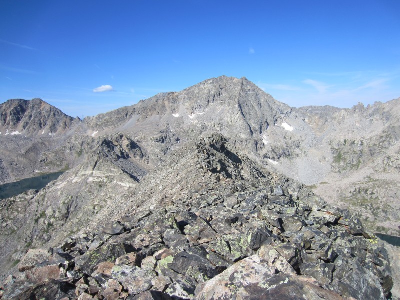
New York Mountain from the summit of "Finnegan"
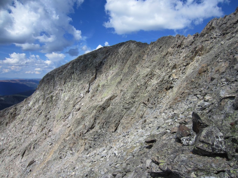
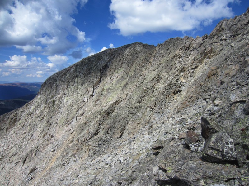
Northwest face of "Finnegan"
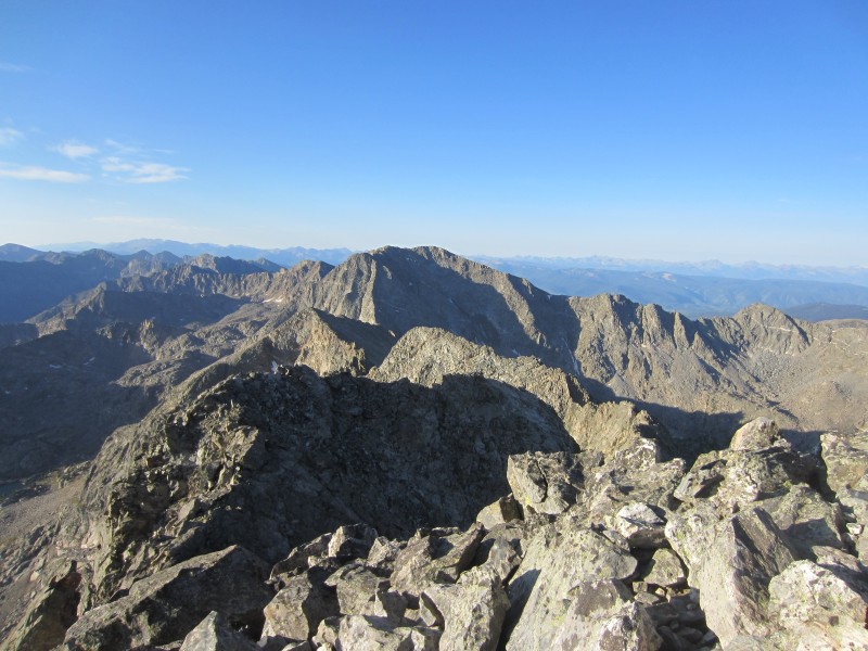
The views from the summit of "Finnegan" expanding to the north were exceptional; the Holy Cross Wilderness never disappoints. I descended back to the 13,092-"Finnegan" saddle and starting looking for a descent option leading east. I bypassed the first gendarme on the west side of the ridge and then the second gendarme on the east. Some interesting climbing was encountered bypassing the second gendarme as I descended into another obnoxious talus gully on the east side of the ridge.
Approximate route up "Finnegan"
Following talus, I descended towards Lake Thomas but before reaching the lake, I veered south-southeast to a minor saddle on the east ridge of "Finnegan." Slabs guarded easy access leading to the saddle and I followed grassy ledges between slabs as I skirted the south side of the lake. The class 3 climbing was plentiful.
Horrible talus on the east side of "Finnegan"
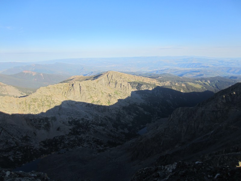
Lake Thomas.
Bypassing slabs and a good view of Lake Thomas.
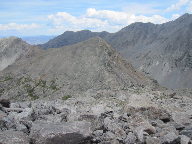
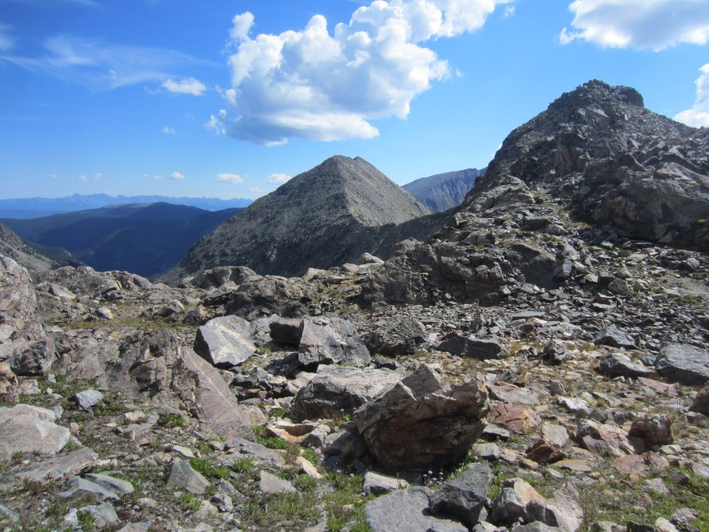
My next objective was Point 12,730 and I wanted to avoid as much elevation loss as possible. Skirting the slabs to the south of Lake Thomas was more time consuming and trickier than I anticipated. From this minor saddle, I finally got my first view of 12,730. The peak appeared far away and the terrain looked unforgiving.
Point 12,730
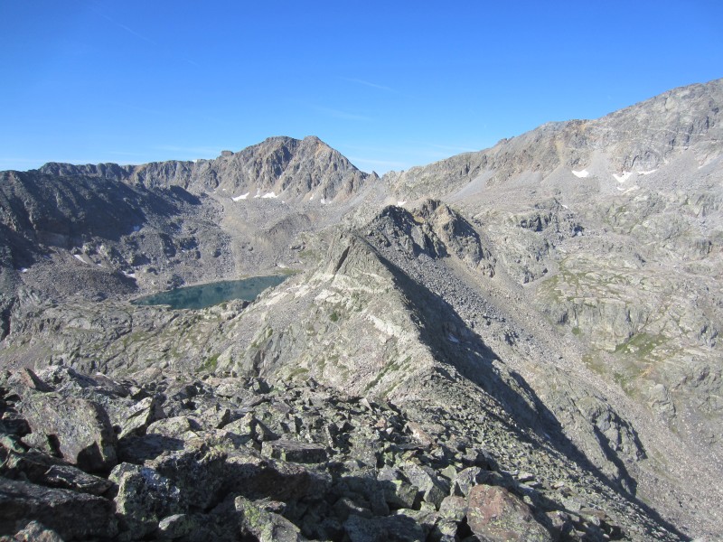
Gold Dust.
Unforgiving terrain.
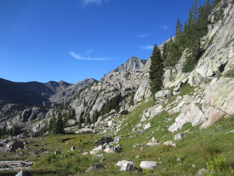
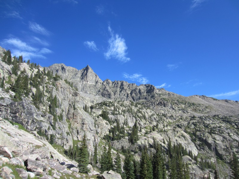
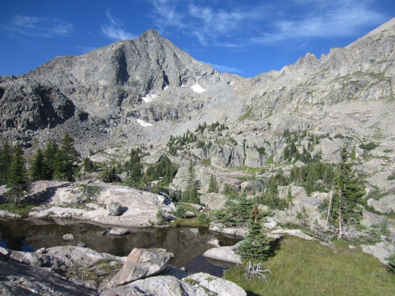
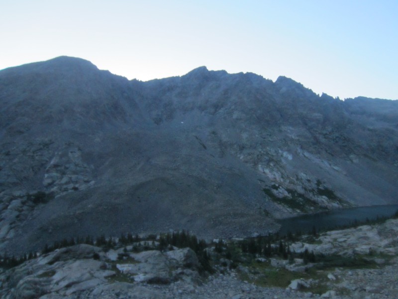
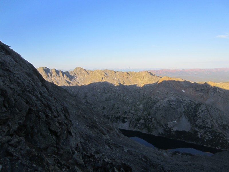
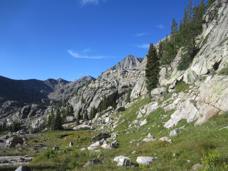
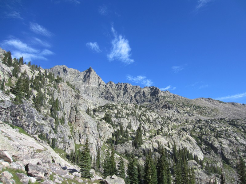
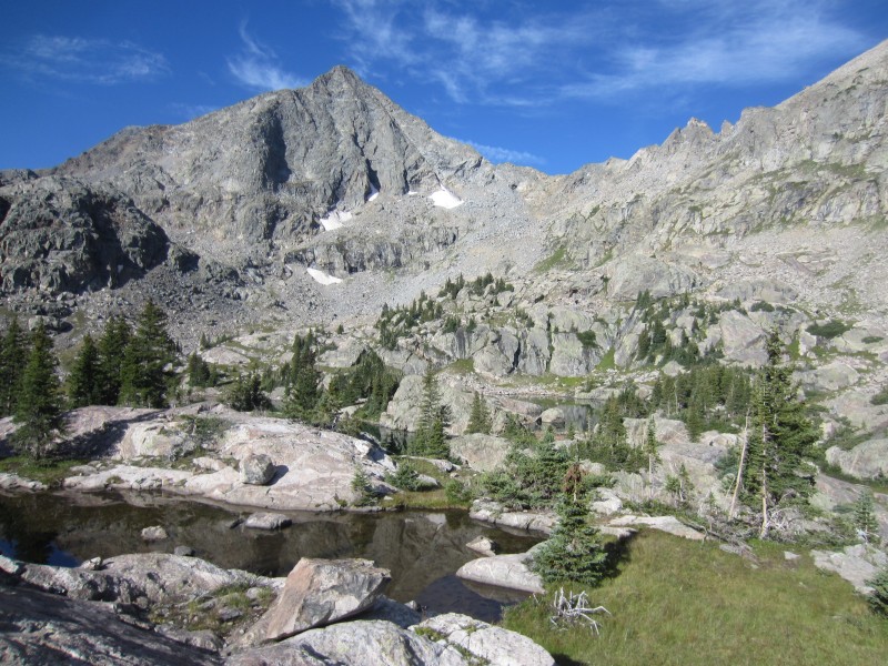
Heading south from the saddle, I bypassed minor cliff bands where I thoroughly enjoyed the hiking. The area around Big Pine Lakes is perhaps one of the most astonishing areas in Colorado. Expansive views of Gold Dust and "Finnegan" were eye popping. I will most likely return to the area even if it is for a backpacking/camping trip.
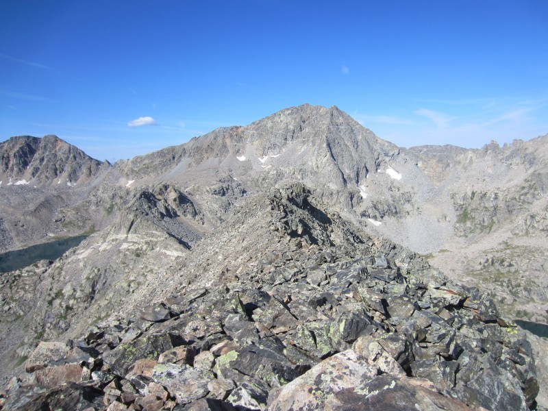
Looking back at "Finnegan"
Gold Dust.
Gold Dust.
"Finnegan"
Options for ascending up 12,730 from the lakes at the base of 12,730's northwest ridge all looked the same - crap talus. I took the most direct line from the lakes and headed up the west side of the northwest ridge. A minor class 3 cliff band was encountered low on my ascent which could be bypassed further west and after this cliff band, steep class 2 climbing led the ridge.
Looking down 12,730's west ridge at Pika Peak and Big Spruce Lake.
Once I hit the ridge, more solid class 2 rock guided me to the summit of Point 12,730 where I arrived at 9:50 AM. Blue skies still filled the sky but I had a long way back to my car so my stay on the summit was short. I descended back down 12,730's south-southwest ridge to the 12,730-Gold Dust saddle.
Gold Dust from 12,730.
While en-route to Gold Dust's south ridge, I had to bypass a minor summit from the saddle by descending ~200 feet below the south side of the ridge. I took the easiest looking, direct gully to Gold Dust's south ridge. The climbing to the ridge, including some minor class 3, is on some questionable rock.
12,730 and the tower I bypassed on the south.
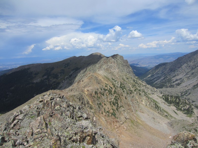
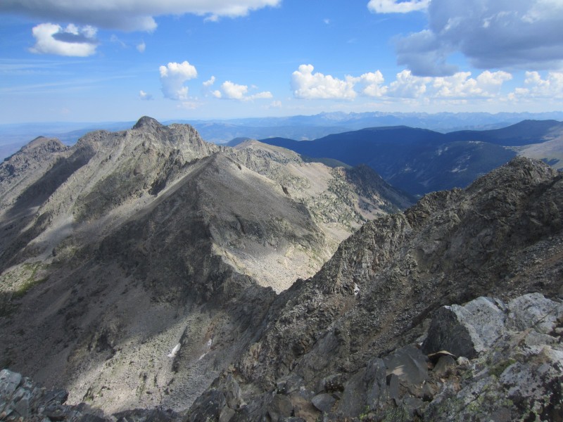
The south ridge of Gold Dust had enjoyable class 3 scrambling with good rock. Harder scrambling sections of the ridge were bypassed on the west side of the ridge. Since the true summit of Gold Dust lies west of the Spot elevation (13,365), some more class 3 scrambling was required to obtain the western summit where I arrived at 11:10 AM.
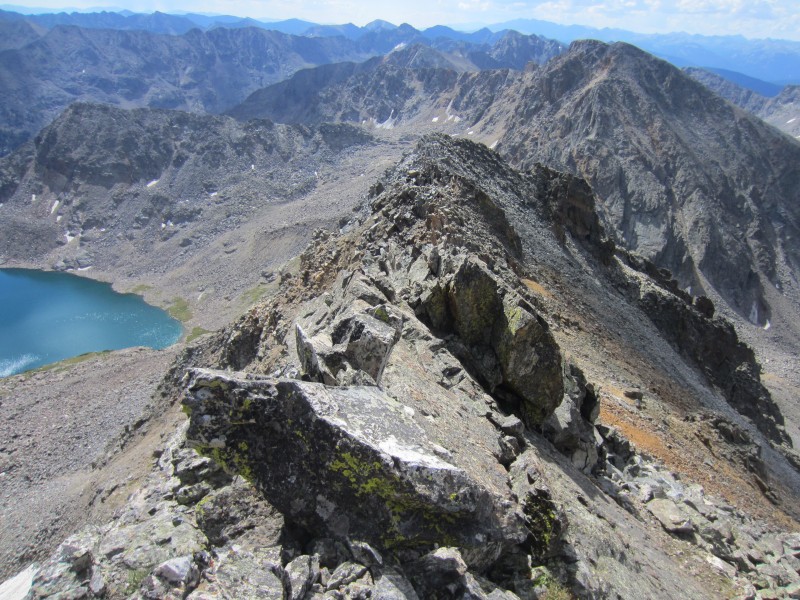
Looking down Gold Dust's south ridge.
Looking up Gold Dust's north ridge.
True summit of Gold Dust.
Already, the clouds were starting to build. Upon reading the register, it appears there is an enjoyable 5.7 climb that resides on the east ridge/buttress. That looks like a climb worth checking out!
"Finnegan" from the summit of Gold Dust.
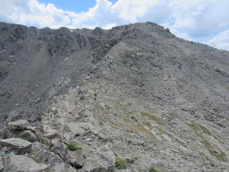
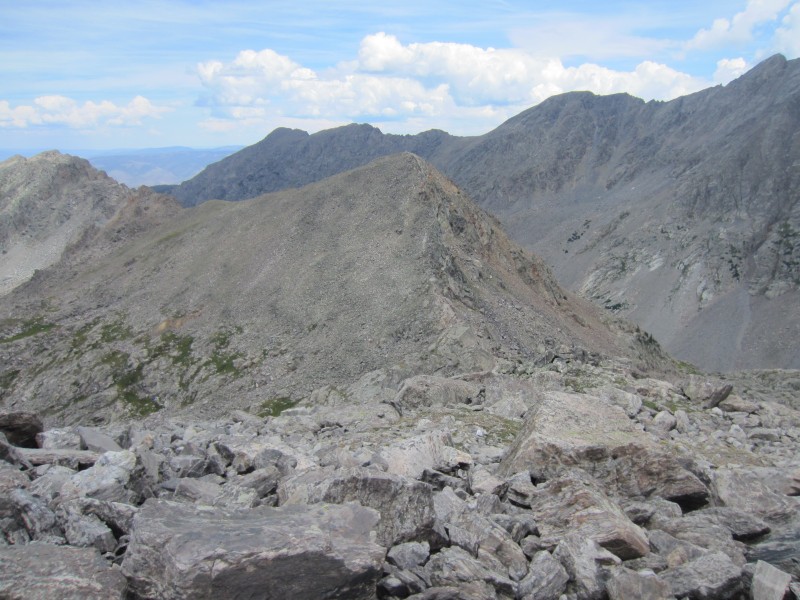
The climbing towards Point 12,525 wasn't trivial. A large notch east of Point 12,911 and a jagged ridge prevent easy travel on the ridge. I initially descended Gold Dust's west ridge which was class 2 talus. Some minor class 3 scrambling was required on ledges as I descended ~100 feet below the south side of Gold Dust's east ridge crest near the saddle.
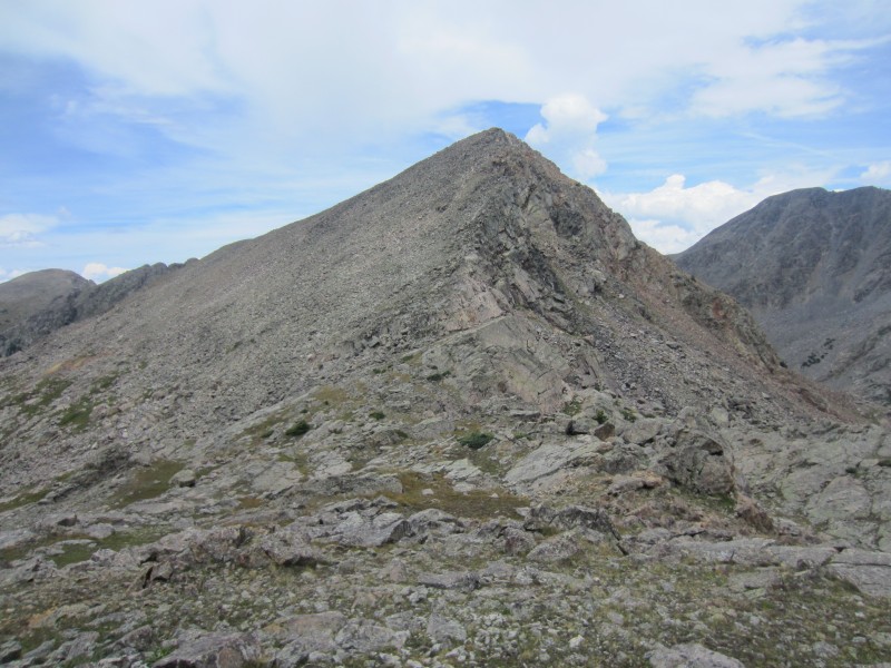
Once I intercepted Point 12,911's southwest ridge, the travel was much easier. The final descent to the 12,911-12,525 saddle had one last minor class 3 cliff band. Class 2 talus slopes led the way to the summit up 12,525's south ridge where my legs were starting to feel the elevation gain. At last, I arrived on the summit of 12,525 at 12:50 PM.
Point 12,525.
Point 12,525.
Last bit of class 3 before the ascent up 12,525.
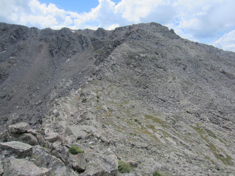
I took a longer break and enjoyed the views before starting back towards the trailhead. I descended loose class 2 talus down 12,525's northwest face. Remnants of an old mining road made travel a little easier lower as I searched for the New York Mountain trail in upper Nolan Creek basin.
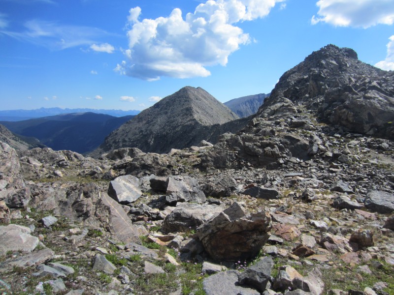
New York Mountain from the summit of 12,525
Without much luck, I had trouble finding the trail and just followed game trails as I re-ascended the south slopes of New York Mountain. Eventually I found the trail at ~12,200. The final miles back to the car were tiring and I arrived at the car at 2:30 PM. Two outstanding 13ers with some of the best scenery in the state made for one of the most memorable days in the mountains.
Route Topo.
Thumbnails for uploaded photos (click to open slideshow):
Hey Derek - The wife and I did a polar star hut trip a few winters back and explored the area while climbing NY Mtn. I was surprised this area doesn't get more love. Great TR, as always.
...but I think everyone in Edwards and the Lake Creek Valley believes Finnegans to be the 12,755' most northern summit along the Gold Dust to Finnegans ridge (due west of Middle Lake), including me. Cest la vie, I guess. Shows how much we know. I guess what they don't know won't hurt them :) Cheers!
I can speak to the class 4 boulder hopping below NY mountain! I found the trail after doing Finnegan, but I couldn't follow it all the way back up to the north ridge of NY on the way out. It seemed to peter out. That is one huge day, Derek! Finnegan indeed has some nasty, unrelenting talus, but a cool finish.
”...but I think everyone in Edwards and the Lake Creek Valley believes Finnegans to be the 12,755' most northern summit along the Gold Dust to Finnegans ridge (due west of Middle Lake)”
It's from the 6th edition (1970) of the Ormes Guide, identifying it as the peak east of New York Lake. The 7th edition refers to it as Groundsquirrel Peak
from Derek. Yay! Was at Peter Estin this past winter and the peaks looked a bit too technical with snow. Glad to see they look a bit more doable in dry conditions.
Caution: The information contained in this report may not be accurate and should not be the only resource used in preparation for your climb. Failure to have the necessary experience, physical conditioning, supplies or equipment can result in injury or death. 14ers.com and the author(s) of this report provide no warranties, either express or implied, that the information provided is accurate or reliable. By using the information provided, you agree to indemnify and hold harmless 14ers.com and the report author(s) with respect to any claims and demands against them, including any attorney fees and expenses. Please read the 14ers.com Safety and Disclaimer pages for more information.
Copyright: Route information, text, risk factors, maps, GPX files, charts, photos, 14ers.com-created map imagery, flythroughs, and other content provided in this route description are copyrighted by 14ers.com and may not be copied, reproduced, republished, distributed, modified, or used to create derivative works without prior written permission.
Please respect private property: 14ers.com supports the rights of private landowners to determine how and by whom their land will be used. In Colorado, it is your responsibility to determine if land is private and to obtain the appropriate permission before entering the property.