Download Agreement, Release, and Acknowledgement of Risk:
You (the person requesting this file download) fully understand mountain climbing ("Activity") involves risks and dangers of serious bodily injury, including permanent disability, paralysis, and death ("Risks") and you fully accept and assume all such risks and all responsibility for losses, costs, and damages you incur as a result of your participation in this Activity.
You acknowledge that information in the file you have chosen to download may not be accurate and may contain errors. You agree to assume all risks when using this information and agree to release and discharge 14ers.com, 14ers Inc. and the author(s) of such information (collectively, the "Released Parties").
You hereby discharge the Released Parties from all damages, actions, claims and liabilities of any nature, specifically including, but not limited to, damages, actions, claims and liabilities arising from or related to the negligence of the Released Parties. You further agree to indemnify, hold harmless and defend 14ers.com, 14ers Inc. and each of the other Released Parties from and against any loss, damage, liability and expense, including costs and attorney fees, incurred by 14ers.com, 14ers Inc. or any of the other Released Parties as a result of you using information provided on the 14ers.com or 14ers Inc. websites.
You have read this agreement, fully understand its terms and intend it to be a complete and unconditional release of all liability to the greatest extent allowed by law and agree that if any portion of this agreement is held to be invalid the balance, notwithstanding, shall continue in full force and effect.
By clicking "OK" you agree to these terms. If you DO NOT agree, click "Cancel"...
Since there are very few trip reports for the La Plata mountain range near Durango, I figured I would add one.
Mt. Moss via Tomahawk Basin - 7/5/14
Starting Elevation = 9,900'
Peak Elevation = 13,192'
Elevation Gain = 3,292'
Mileage (RT) = Slightly less than 6 miles
Getting there:
We hiked Mt. Moss via the Tomahawk Basin, which you access from the La Plata Canyon road. If you're coming from Durango, head west on 160 towards Hesperus and take a right at the Kennebec Cafe and drive into the canyon. The asphalt turns to a dirt road accessible by 2WD vehicles. After the Boren Creek crossing, the road starts to get boney and I wouldn't suggest driving a 2WD vehicle past this point. Continuing on the bumpy dirt road, you'll pass Lewis Creek campground on your right. Continue about another mile until you pass a slightly hidden 4WD road that is a 120-degree turn uphill on your left. There are a few spots on the right where you can pull off and park. Or you can continue another 200 yards and park near an unmarked campground area on the right. There's plenty of room for multiple vehicles here.
The hike:
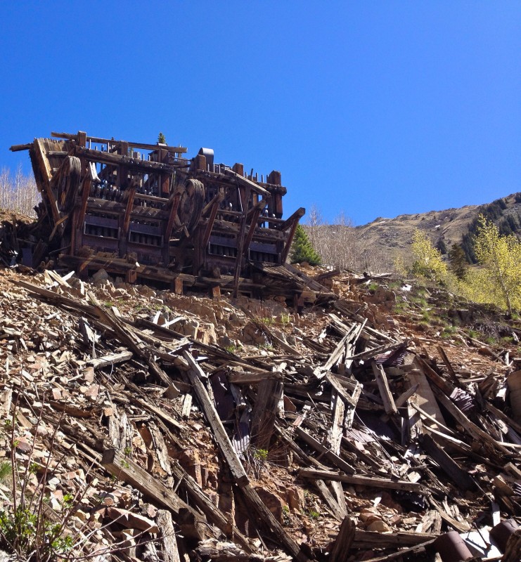
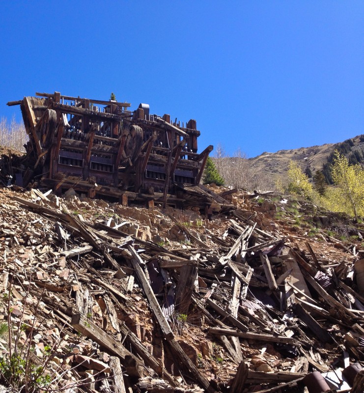
You'll start by following the 4X4 road up a gentle climb through the trees. Follow this road for a little while, until you come to a fork in the road. I believe you can go either left or right here and it'll take you to above an old mining mill. Left is the quicker route. The left route will end at the base of an orange hill below the mill. There are a few small trails that go up this steep loose hill.
The Old Mill
Continue on the 4x4 road, up a few switchbacks until you reach a switchback at the base of another orange colored hill. You'll see a narrow trail up some loose steeper terrain. We missed this trail and ended up following the 4x4 road up to the north and had to cross a side slope of talus, which slowed us down a bit.
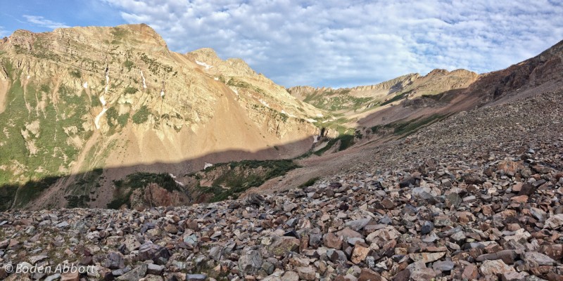
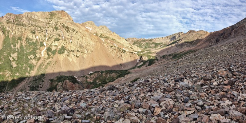
Talus Fun! Mt. Moss in the background on the right. You gain the ridge connecting Babcock and Mt. Moss on the backside of Tomahawk Basin.
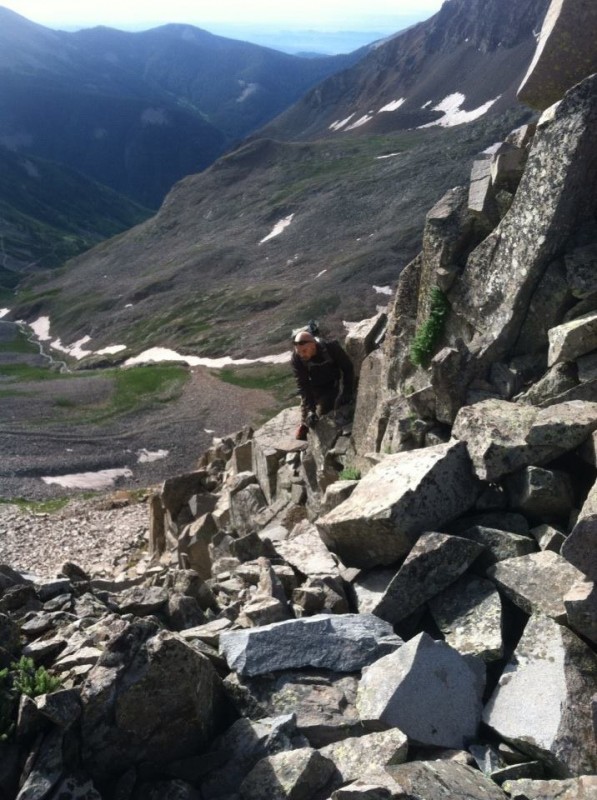
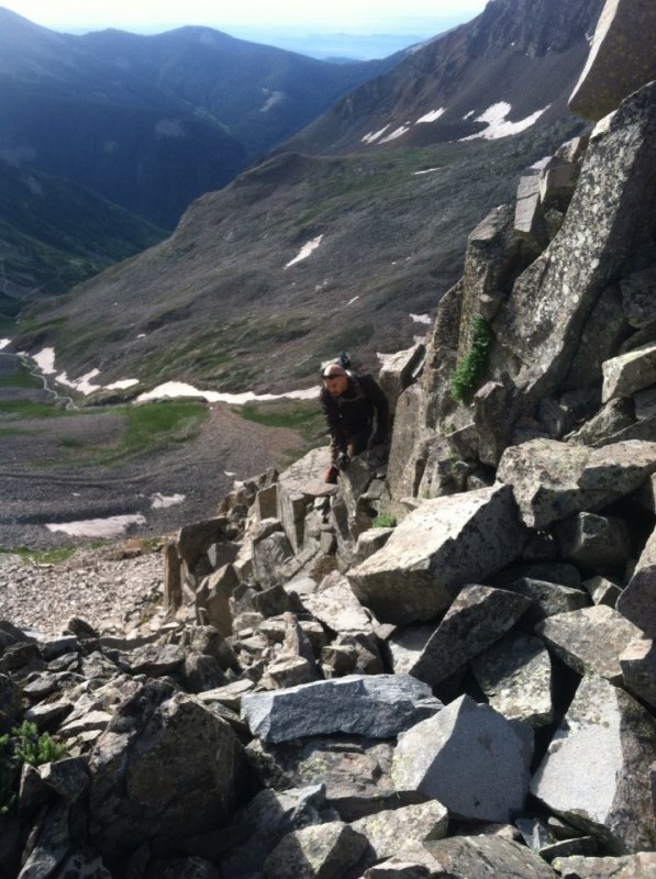
Either trail you follow, you have to head west towards the waterfall (seen in the picture above) and ascend up around it to the right. I scrambled up a gully to the far right, while Ross made his way up the green gully in the center of the above picture.
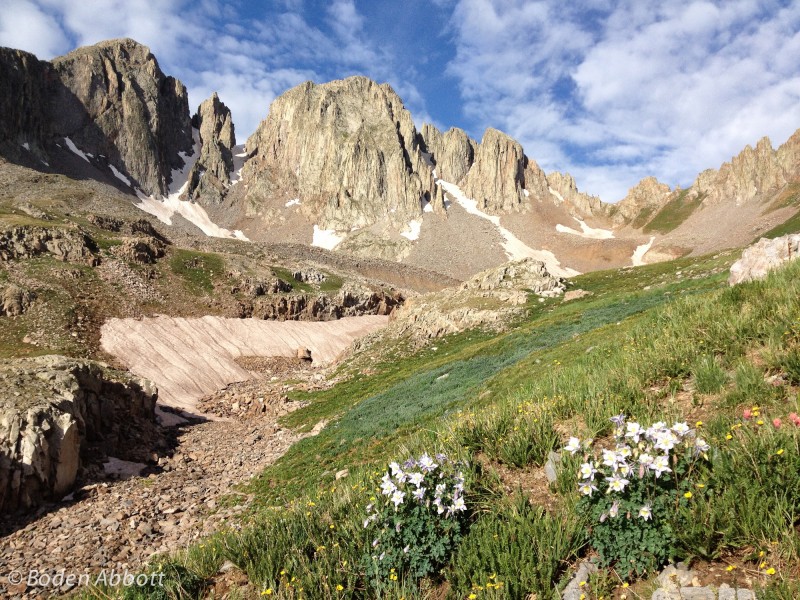
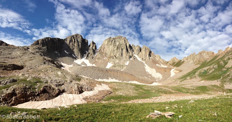
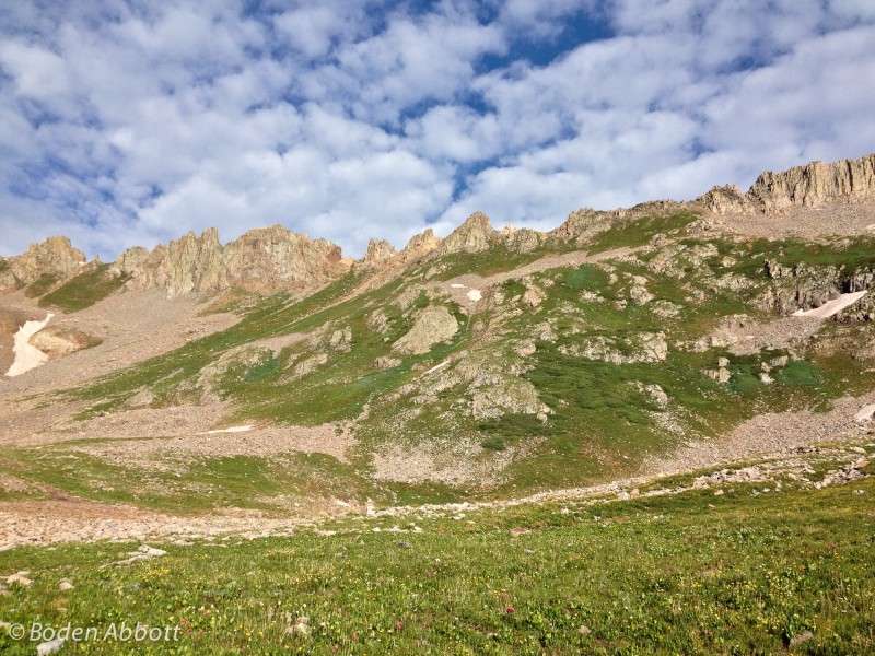
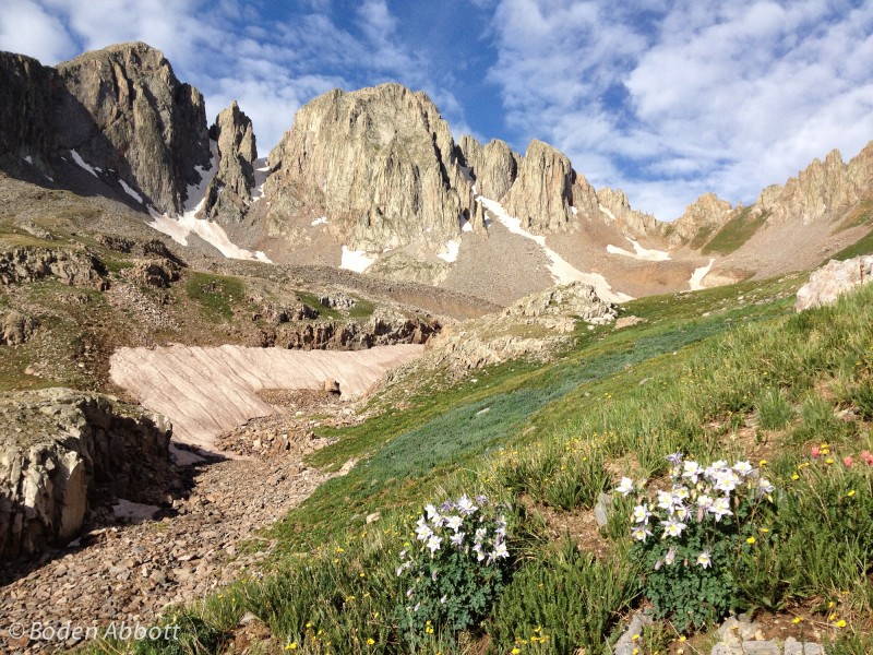
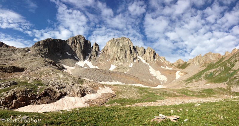
Once you get above the waterfall, the Babcock peaks will grab your attention. They are much more impressive from Tomahawk basin, compared to going up the Boren Creek drainage to the south.
Babcock Peaks and some Rocky Mountain Columbine wildflowers
Panorama of the Babcock Peaks.
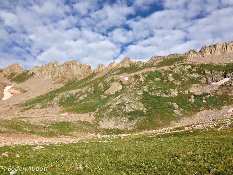
Eventually you'll get to the base of the Babcock-Moss ridge and you'll have to choose your route up to one of the notches to gain the ridge. A few trip reports I've read suggest heading for the southern most notch (on the left) where there is a little more grass for easier hiking. We chose to go up the middle and gain the ridge to the right of taller spire in the middle of the picture below.
Babcock-Moss Ridge
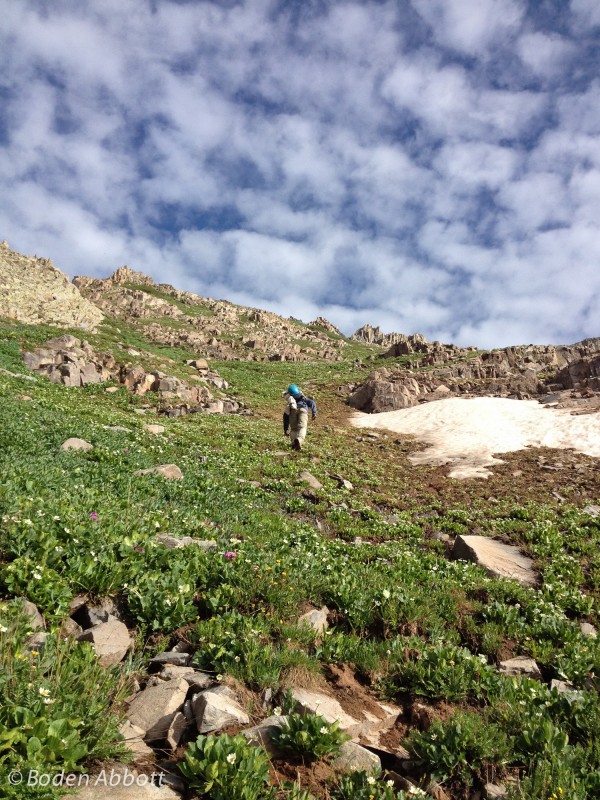
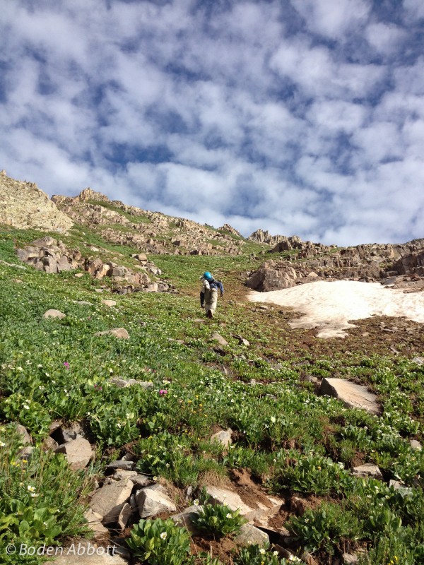
Our ascent up the steep slope.
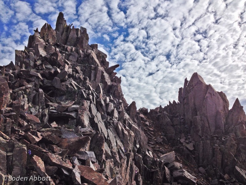
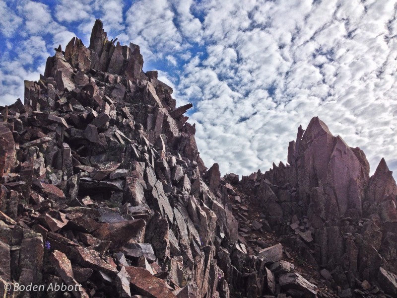
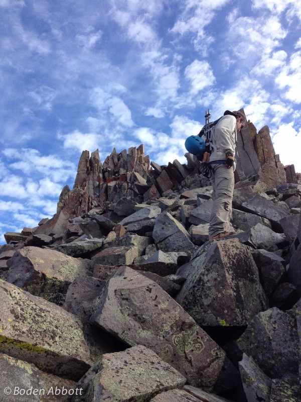
Once we gained the ridge, we had to negotiate a few spires on some class 2 terrain.
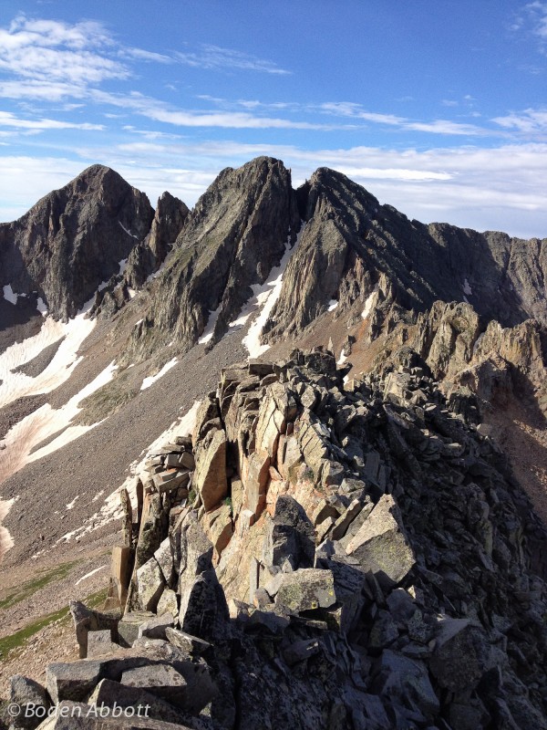
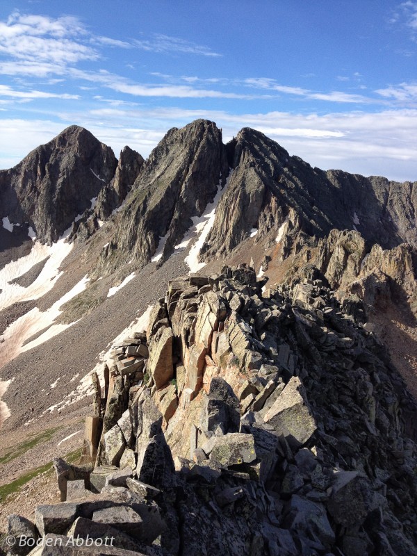
A nice look at the ridgeline up to the top of Mt. Moss.
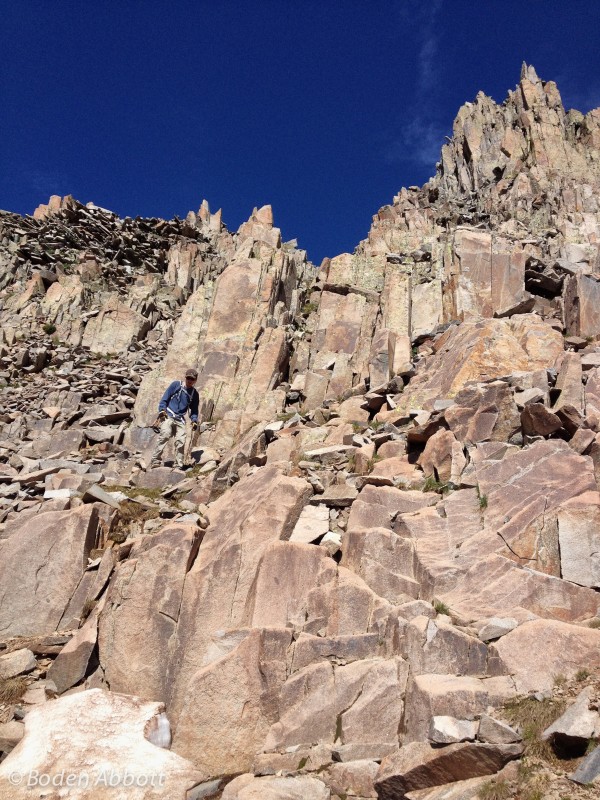
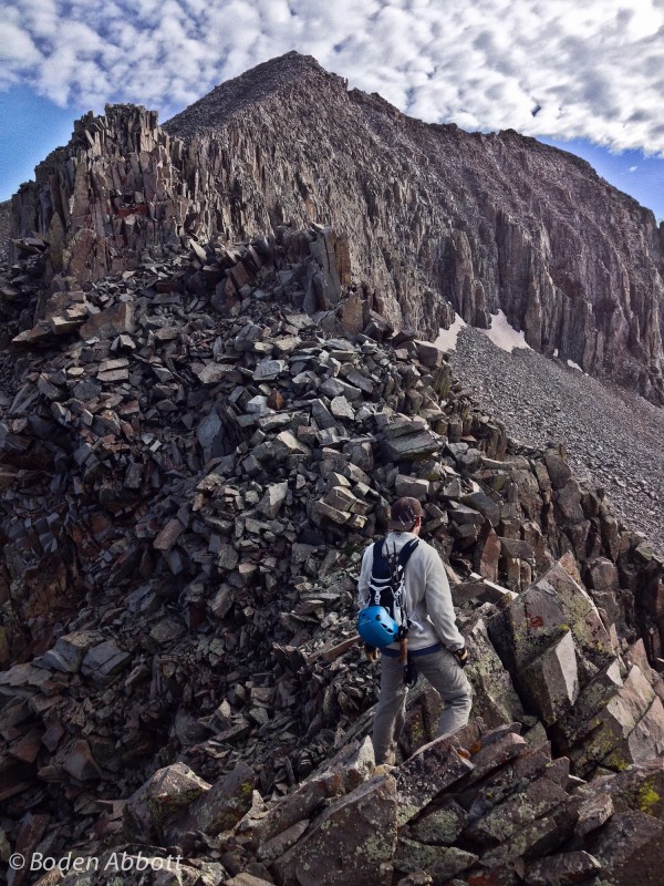
There was one class 3 move just past the large rock formation on the above picture on the right. This is where a steep rocky gully enters the ridgeline (which we would later descend). We went around the rock formation to the right (east), but went up and around the gully. The picture below shows this area, but you can't really see the gully down to the left. I think you can go around the rock formation to the left (west) too, but it looked loose and steep. Plus there was a marmot down there staring at me and I wanted no part of him.
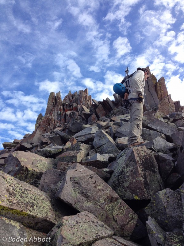
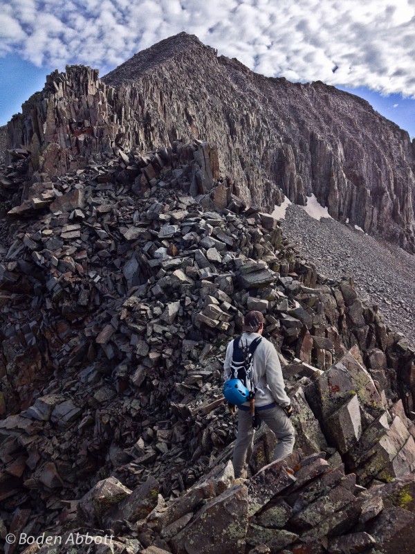
Once we got around this obstacle, it was class 2 up larger talus and some dirt along the west side of the ridge. You gain the ridge in another 100 yards. At this point, the east side of the ridge drops off straight down into Tomahawk Basin, so you continue to stay on the west side of the ridge. (Note, the rock on the west side of the ridge is very...mossy and slippery.)
Looking back to Babcock after regaining the ridge crest.
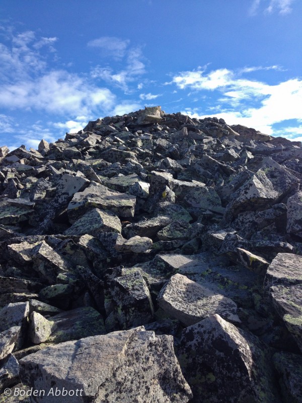
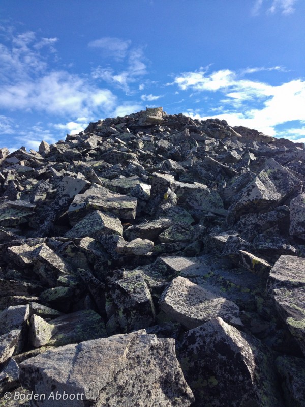
The home stretch to Mt. Moss's summit.
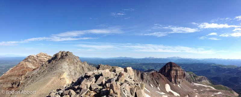
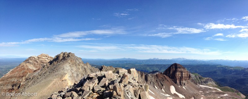
Panorama from Mt. Moss, looking west. Left to right, Hesperus, Lavender, Centennial.
We were planning on climbing up Lavender but the forecast called for thunderstorms by 11 in the area and it was already 9:15. We already had one run-in with a lightning storm while trying to climb Babcock a month ago, so we played it safe and headed back without summiting Lavender.
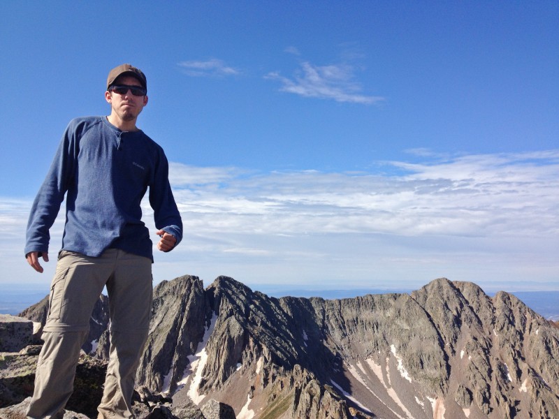
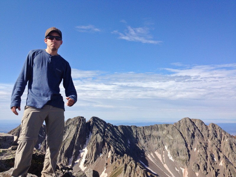
Ross at the summit, with Babcock, the knife ridge and Spiller peak in the background (left to right).
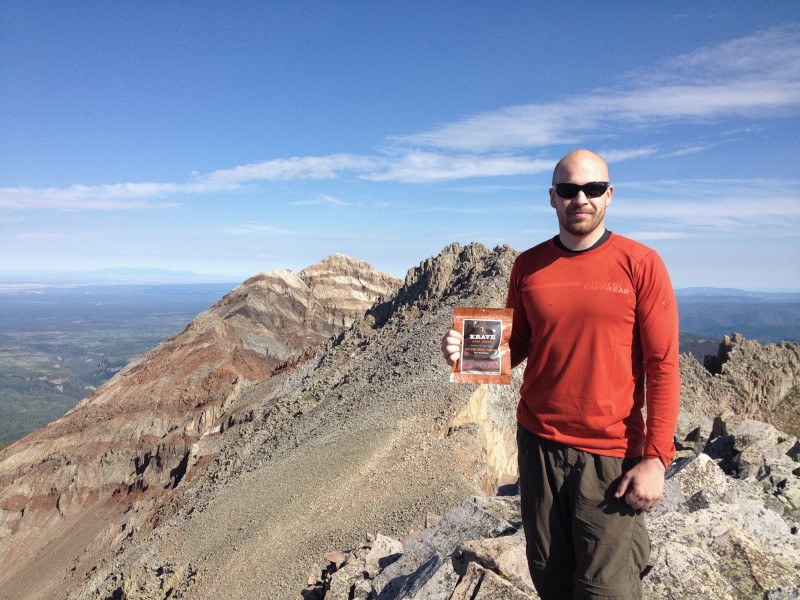
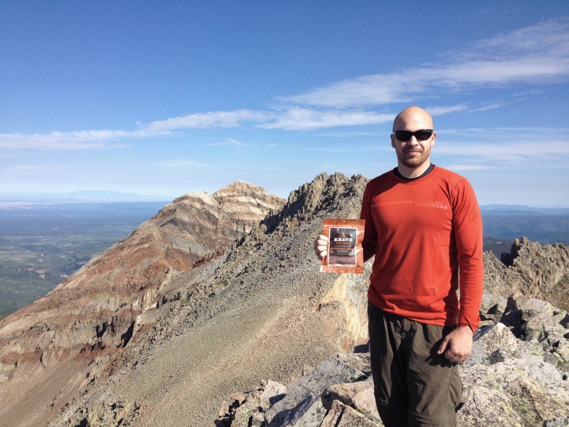
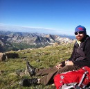
Me enjoying some delicious Krave Jerky at the summit of Mt. Moss, with Hesperus and Lavender in the background. Mmm mmm.
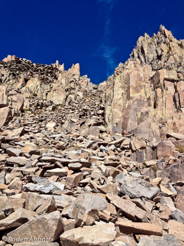
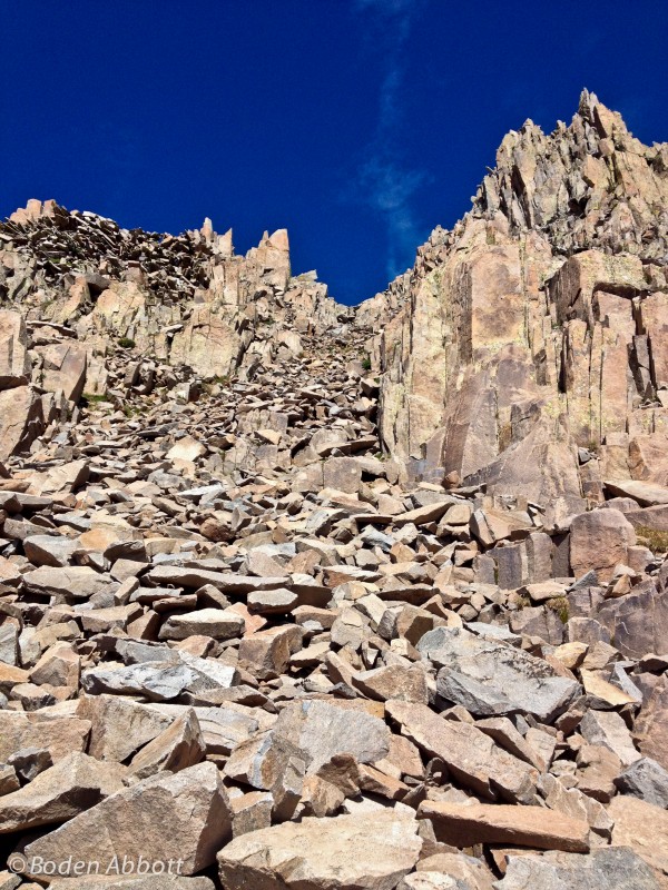
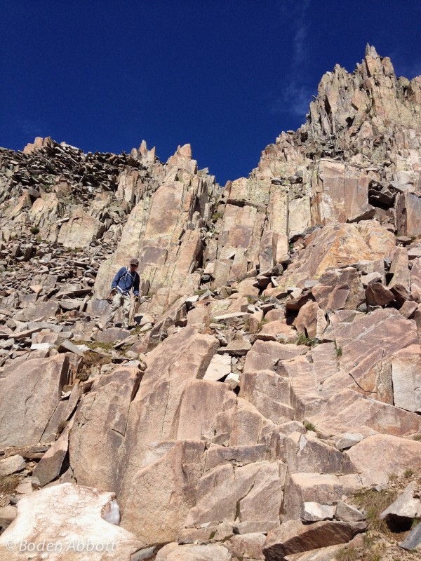
On the descent, we decided to test out the steep rock gully, which was the first exit off of the ridgeline heading down. It was full of loose scree but also some solid hand holds. A fun and quick descent.
Right as we got back to the car, it started to hail on us. The clouds looked ominous. We made the right call.
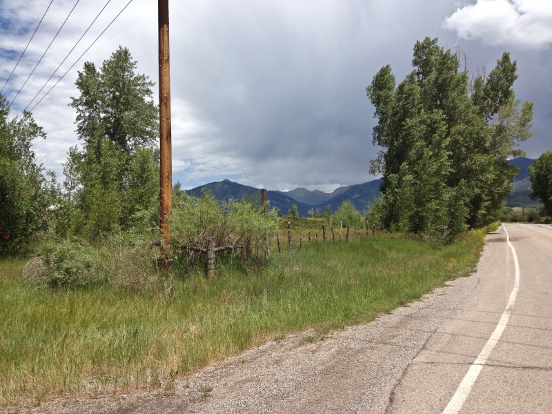
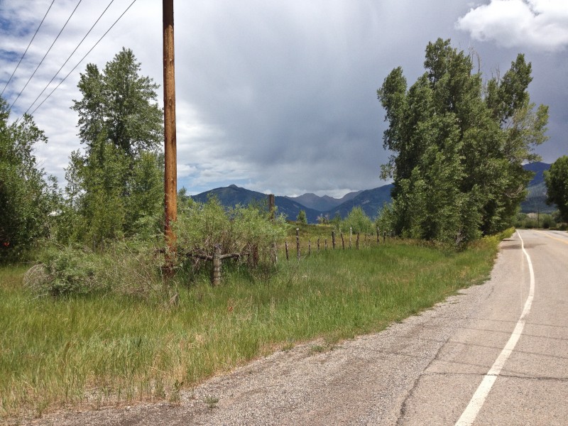
Looking back at La Plata Canyon from Kennebec Café.
Fun hike. Like everything in the La Plata Canyon, it's a steep uphill to the ridgelines, but not a lot of mileage round trip.
Thumbnails for uploaded photos (click to open slideshow):
I'm not sure if you could make it all the way to the west peak of Babcock on that ridge. I think you could. Then you could down climb the west peak into the couloir, hike 200' down the south side of the couloir and up a class 3 gully to the middle (high) peak of Babcock. We're thinking about trying that when we go do Lavender later this summer. I'll keep you posted.
That's typically the route people take when climbing Babcock, then climbing up the west peak and doing the knife ridge to Spiller.
On a rarely talked about peak. I am spending a week in Durango at the end of July and looking for 1 more climb to do. This one is now on the shortlist. May be just the solutide I am looking for.
can be found in the La Platas. So far this summer I've hiked 4 mountains up there and tried hiking Babcock twice (but mother nature had other plans) and I saw maybe a total of 8 people on all of those hikes combined. I think it's an under appreciated range, but that's fine by me.
Thanks! It was a fun hike, and starting at sunrise helped make the lighting perfect for photos.
Caution: The information contained in this report may not be accurate and should not be the only resource used in preparation for your climb. Failure to have the necessary experience, physical conditioning, supplies or equipment can result in injury or death. 14ers.com and the author(s) of this report provide no warranties, either express or implied, that the information provided is accurate or reliable. By using the information provided, you agree to indemnify and hold harmless 14ers.com and the report author(s) with respect to any claims and demands against them, including any attorney fees and expenses. Please read the 14ers.com Safety and Disclaimer pages for more information.
Copyright: Route information, text, risk factors, maps, GPX files, charts, photos, 14ers.com-created map imagery, flythroughs, and other content provided in this route description are copyrighted by 14ers.com and may not be copied, reproduced, republished, distributed, modified, or used to create derivative works without prior written permission.
Please respect private property: 14ers.com supports the rights of private landowners to determine how and by whom their land will be used. In Colorado, it is your responsibility to determine if land is private and to obtain the appropriate permission before entering the property.