Download Agreement, Release, and Acknowledgement of Risk:
You (the person requesting this file download) fully understand mountain climbing ("Activity") involves risks and dangers of serious bodily injury, including permanent disability, paralysis, and death ("Risks") and you fully accept and assume all such risks and all responsibility for losses, costs, and damages you incur as a result of your participation in this Activity.
You acknowledge that information in the file you have chosen to download may not be accurate and may contain errors. You agree to assume all risks when using this information and agree to release and discharge 14ers.com, 14ers Inc. and the author(s) of such information (collectively, the "Released Parties").
You hereby discharge the Released Parties from all damages, actions, claims and liabilities of any nature, specifically including, but not limited to, damages, actions, claims and liabilities arising from or related to the negligence of the Released Parties. You further agree to indemnify, hold harmless and defend 14ers.com, 14ers Inc. and each of the other Released Parties from and against any loss, damage, liability and expense, including costs and attorney fees, incurred by 14ers.com, 14ers Inc. or any of the other Released Parties as a result of you using information provided on the 14ers.com or 14ers Inc. websites.
You have read this agreement, fully understand its terms and intend it to be a complete and unconditional release of all liability to the greatest extent allowed by law and agree that if any portion of this agreement is held to be invalid the balance, notwithstanding, shall continue in full force and effect.
By clicking "OK" you agree to these terms. If you DO NOT agree, click "Cancel"...
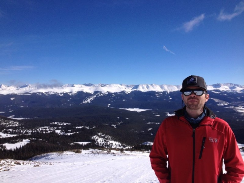
Route: East Ridge from Crane Park Trailhead RT Distance: ~11 miles RT Gain: ~3,200' RT Time: 8.25 hours Climber(s): Jeff (SurfNTurf), Kate (binvers2)
Kate and I lucked into a free cabin in West Vail for the weekend, and since neither of us ski, we decided to find a summit hike while our friends hit the slopes. Avalanche conditions made finding a safe route a bit of a chore, but a few hours of research and some friendly advice (thanks Kevin, Abe and Otina!) pointed to Homestake Peak as a solid option. It also presented a fun Plan B of just hiking up to check out the 10th Mountain Division Hut if weather, snow conditions or fatigue got the best of us. I'm still fat from a few lazy months of shoulder issues, after all.
We intended to start around dawn at 6:30 a.m. A slow morning and bad road conditions over Battle Mountain and Tennessee passes set us back considerably, and we didn't reach the junction of County Road 19 and Wurt's Ditch Road until nearly 8 a.m. The Crane Park TH is pretty easy to find: turn onto CR 19 from Highway 24 about two miles south of the Tennessee Pass summit/Ski Cooper. Drive through some residential areas until you reach two signs, one labeled "19A" and the other pointing for the turn to Wurt's Ditch Road. Park here. CR 19 is plowed in winter, but Wurt's Ditch Road is not.
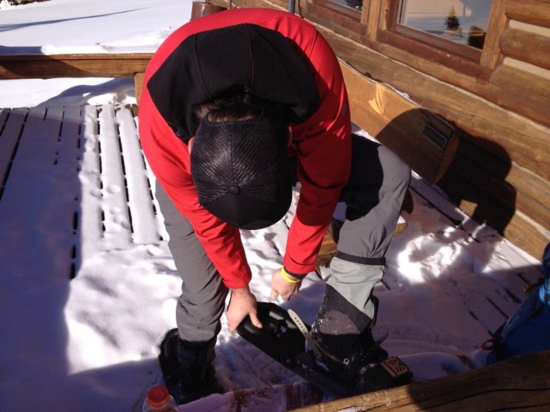
We wore our snowshoes all day, from car-to-car. Wurt's Ditch Road is popular with snowmobilers, snowshoers and cross-country skiers, so it's usually nice and packed. We reached a signed junction in no time and opted for the 10th Mountain Hut Winter Approach, taking a hard left into a stellar trench. My plan was to stay on the hut approach for a few miles, then cut west above a small lake and gain the East Ridge just north of Pt. 11,847.
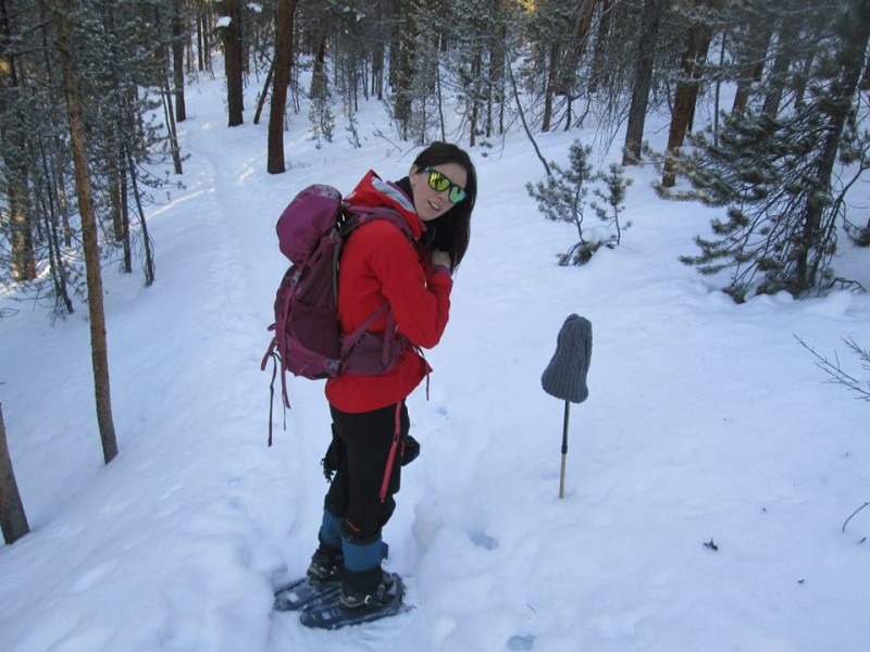
Kate and her frozen hair.
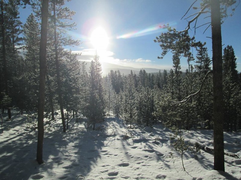
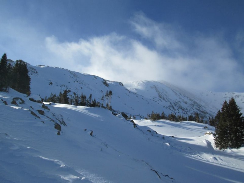
Gorgeous winter scenery.
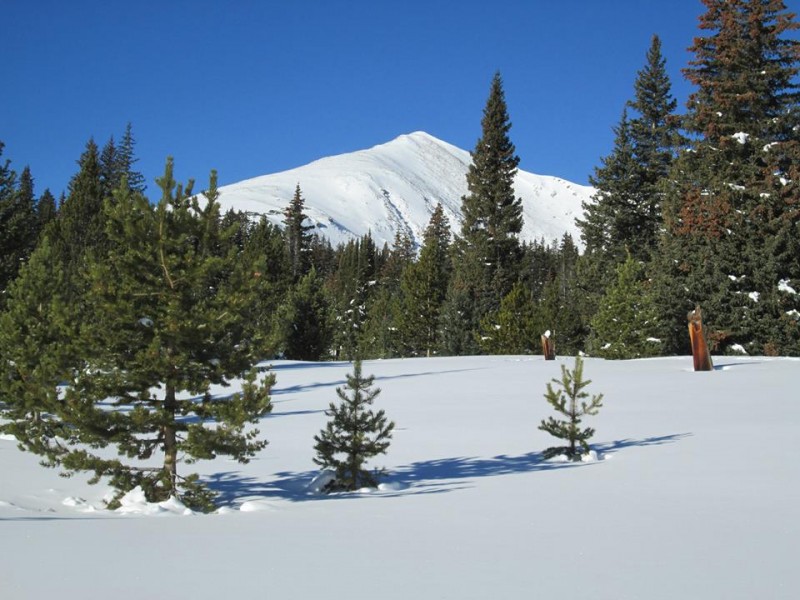
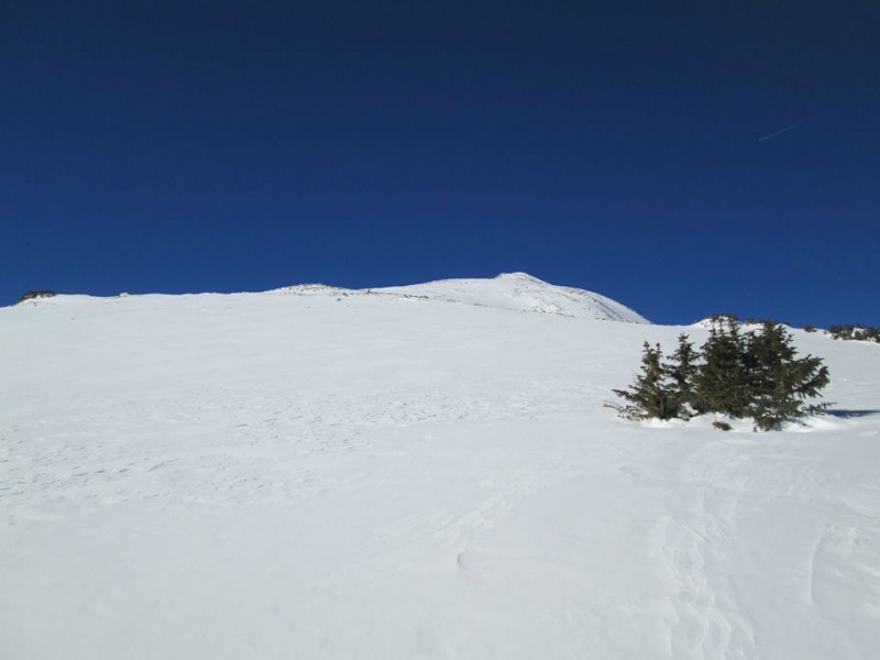
First views of Homestake Peak.
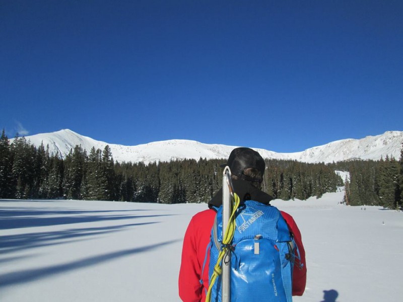
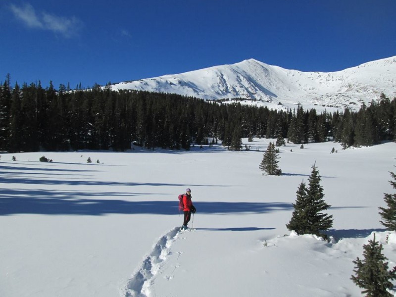
Kate on the approach as the views start to open up.
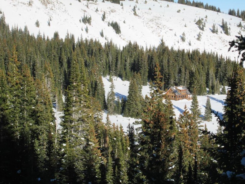
Taking it in, near the 10th Mountain Hut.
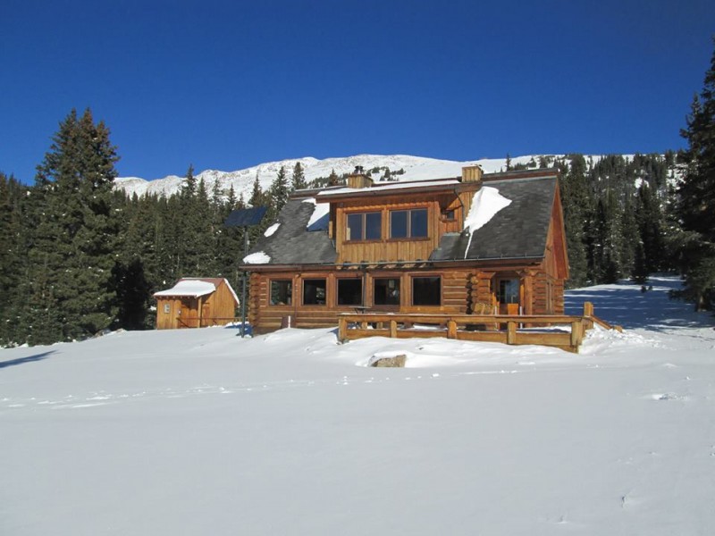
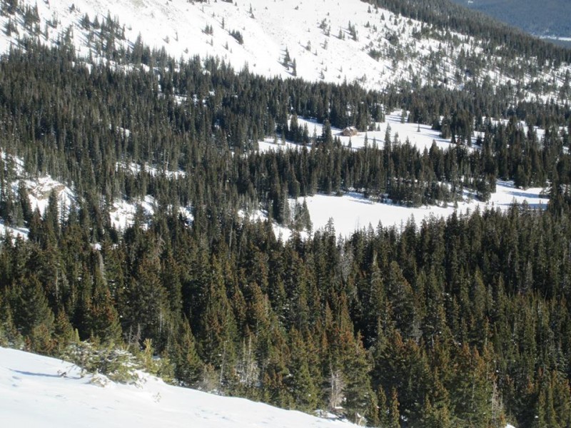
Trucking right along in the established trench (the approach is marked with blue diamonds if you're breaking the trail), I was shocked when a cabin appeared in front of us. Surely it couldn't be the 10th Mountain Hut? We'd only been hiking for two hours at a relaxed pace and the hut was supposed to be nearly five miles in. A closer inspection revealed it was indeed the 10th Mountain cabin, meaning we'd overshot my planned shortcut by a mile or so. Oops.
I studied the topo map and found another avy-safe line onto the ridge. We benefited from brief sections of sporadic trail, but it crossed under a sketchy avalanche slope and we deviated to give the slide area a wide berth. Above treeline, everything was windscoured. Kate got to experience her first WHUMPF as the snow settled on a flat section, confirming we'd have to be extra conservative. The look on her face as she asked "What the hell was that?" was priceless.
Is that the hut already?
Snowshoe tails, ENGAGE.
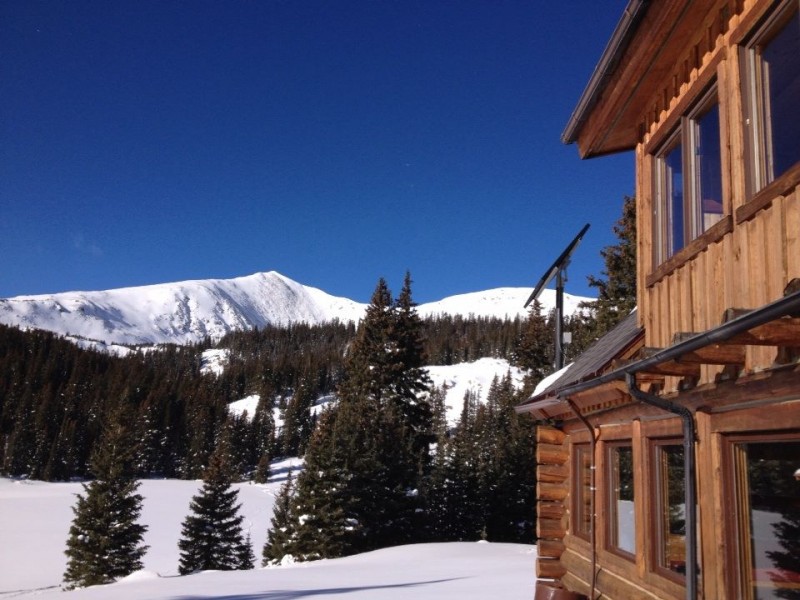
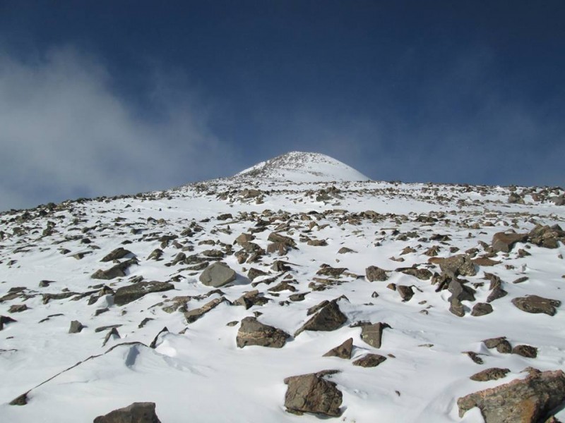
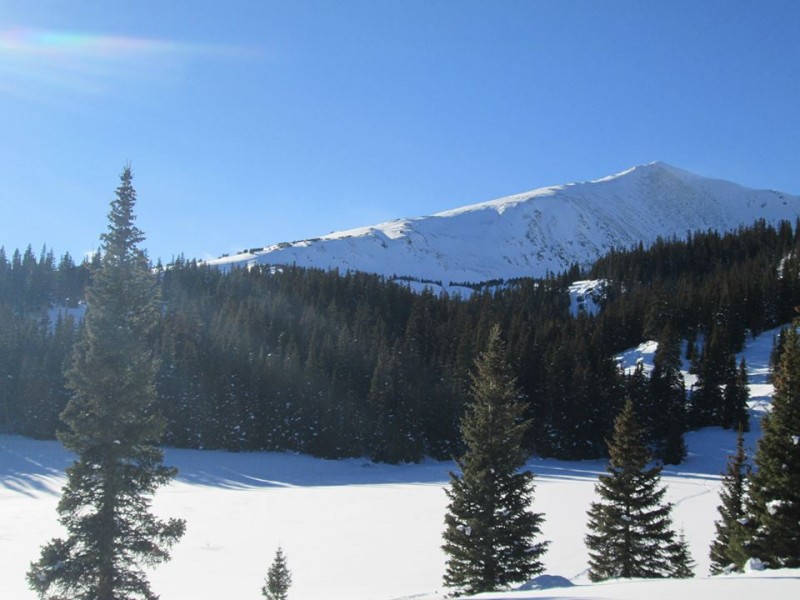
The goal, from the hut.
Kate tries breaking trail for a few feet, decides it sucks.
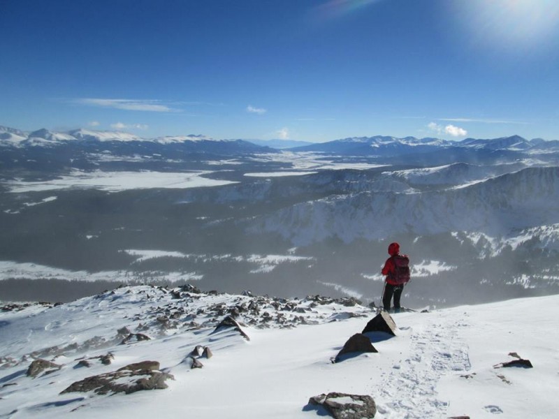
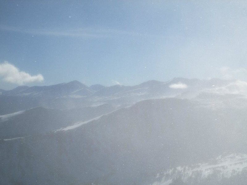
We'd had a bluebird morning. I was down to a T-shirt and an unzipped softshell. The spindrift was apparent, however, and once we hit the ridge the wind began in earnest. To make matters worse, a cloud rolled in and sat on our summit while the rest of the surrounding peaks were still basking in sunlight. Ugh.
The ridge looks long and miserable from the approach, but it went much quicker than expected. It's gentle and allows for a purposeful pace. Wanting to get finished and back out of the wind probably helped. We topped out into a full-blown gale at 1 p.m., five hours after setting out. I hunkered down against a rock only long enough to snap some photos and put on my puffy, and Kate didn't even bother. She was running off the summit seconds after reaching it. Homestake was reported to have amazing views, but we didn't get to enjoy them.
Finally on the ridge.
Looking at the final push, with Ski Cooper in the background.
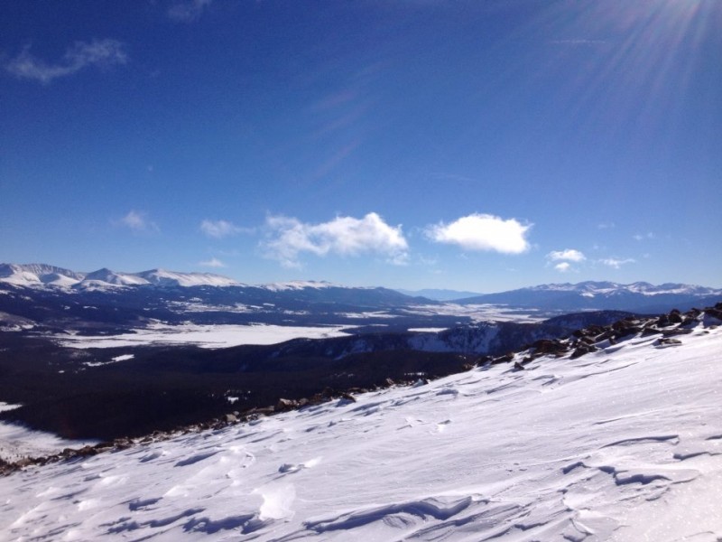
Leadville and Turquoise Lake.
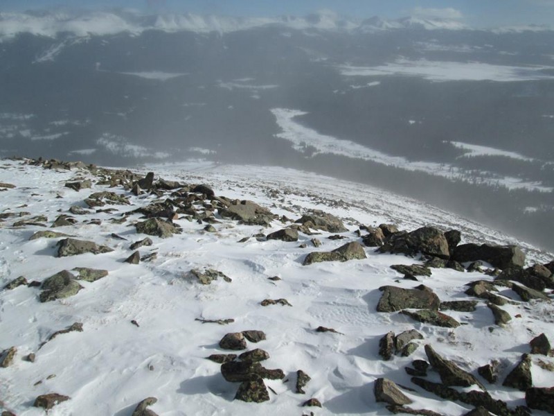
Nearing the rapidly-obscuring summit.
"NOPE."
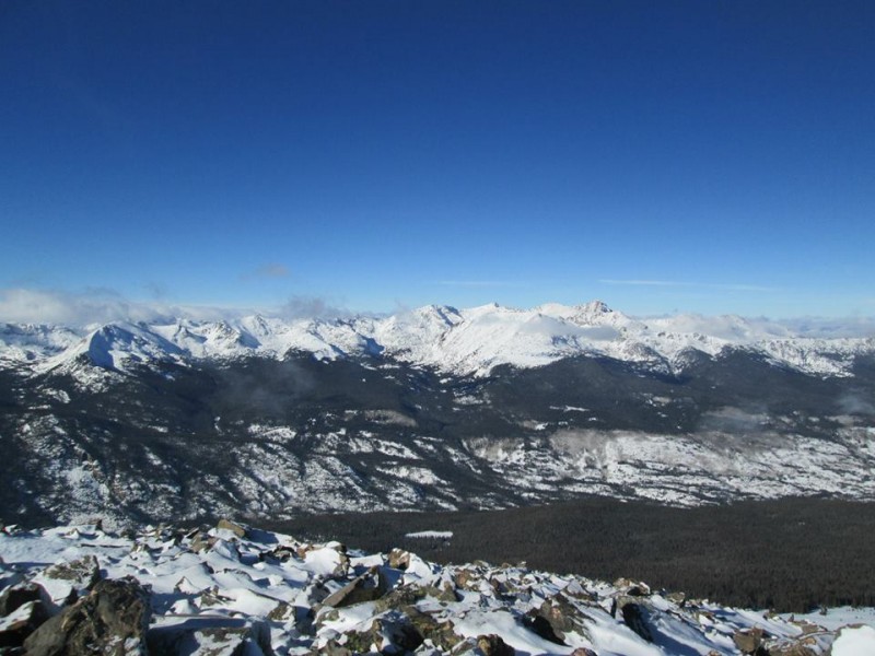
Holy Cross Wilderness.
The High Sawatch.
As usually happens, the cloud dissipated within 30 minutes of us leaving the summit and the mountain was once again bathed in sunshine. The wind continued howling, though, and we wasted no time hurrying back to the shelter of treeline. The cabin still looked unoccupied. We decided to power down and have our "summit meal" on the porch. I thought it odd the hut wasn't booked on a gorgeous Saturday in December, and sure enough we passed its soon-to-be residents coming up the approach trail late in the day. I've never done a hut trip, but it looks like an awesome way to spend a winter weekend.
Looking back down the ridge.
Whipping winds.
GO AWAY!
Heading back to the hut.
Every route should have a lunch spot like this.
Of course, the mountain clears off as soon as we're down.
Kate and I reached the car at 4:15 p.m., a little more than eight hours after setting out. A mid-December summit hike with no headlamp necessary? I'll take it. And there's no better base camp to return to than a posh Vail condo only 45 minutes away. Thanks for reading. Homestake Peak is an awesome snow hike with minimal avalanche risk. Highly recommended.
Thumbnails for uploaded photos (click to open slideshow):
I love it, particularly as a technical spring pack for snow climbs. I've used it for shorter winter days (like this one) and in the summer when I'm purposely carrying extra stuff, like a stove or a nice camera. I do wish it was slightly bigger (35L) for ice climbing, but otherwise it's a nice pack with lots of utility.
Homestake is on my list for the winter - any chance you have a GPX track you could add to the report? Starting the planning process for this one. Great job to both of you!!
I stayed at the hut a few years ago and we intended to snowboard Homestake but poor visibility, dumping snow, and dodgy avalanche conditions made us stay near the hut instead of heading up. Nice to see what it actually looks like when you can get up there. That is one of my favorite 10th mountain huts too.
you guys put in. It's nice to see some great ideas out there. I think I'll take this word-for-word for my playbook with the small addition of skis. Bill's CalTopo maps are amazing!!!
Caution: The information contained in this report may not be accurate and should not be the only resource used in preparation for your climb. Failure to have the necessary experience, physical conditioning, supplies or equipment can result in injury or death. 14ers.com and the author(s) of this report provide no warranties, either express or implied, that the information provided is accurate or reliable. By using the information provided, you agree to indemnify and hold harmless 14ers.com and the report author(s) with respect to any claims and demands against them, including any attorney fees and expenses. Please read the 14ers.com Safety and Disclaimer pages for more information.
Please respect private property: 14ers.com supports the rights of private landowners to determine how and by whom their land will be used. In Colorado, it is your responsibility to determine if land is private and to obtain the appropriate permission before entering the property.