Download Agreement, Release, and Acknowledgement of Risk:
You (the person requesting this file download) fully understand mountain climbing ("Activity") involves risks and dangers of serious bodily injury, including permanent disability, paralysis, and death ("Risks") and you fully accept and assume all such risks and all responsibility for losses, costs, and damages you incur as a result of your participation in this Activity.
You acknowledge that information in the file you have chosen to download may not be accurate and may contain errors. You agree to assume all risks when using this information and agree to release and discharge 14ers.com, 14ers Inc. and the author(s) of such information (collectively, the "Released Parties").
You hereby discharge the Released Parties from all damages, actions, claims and liabilities of any nature, specifically including, but not limited to, damages, actions, claims and liabilities arising from or related to the negligence of the Released Parties. You further agree to indemnify, hold harmless and defend 14ers.com, 14ers Inc. and each of the other Released Parties from and against any loss, damage, liability and expense, including costs and attorney fees, incurred by 14ers.com, 14ers Inc. or any of the other Released Parties as a result of you using information provided on the 14ers.com or 14ers Inc. websites.
You have read this agreement, fully understand its terms and intend it to be a complete and unconditional release of all liability to the greatest extent allowed by law and agree that if any portion of this agreement is held to be invalid the balance, notwithstanding, shall continue in full force and effect.
By clicking "OK" you agree to these terms. If you DO NOT agree, click "Cancel"...
It has come to my attention that I have averaged writing one trip report a year for the past few years. Therefore, it is time for my annual report! And luckily, I've set the bar pretty low given my last couple reports. Seriously, a whole trip report on 12ers??? And before that was a trip report on some easy class 2 13ers. So I don't feel bad at all about doing this one on an easy 13er that's not even ranked. If you're looking for an epic big day, multiple peaks, or technical climbing, close out of this and open up the trip report before or after mine. I'm sure those will fit your bill. But if you're up for some dry humor, pictures from a camera that's been dropped, kicked, scratched, and rained on multiple times, and maybe a little bit of seriousness, then I hope you enjoy this.
With most of October and November already getting booked for trips to Canyon de Chelly, Mt. Taylor, Moab, and the Grand Canyon, I knew the window of opportunity to climb something in Colorado snow-free was quickly closing. My options came down to some 13ers along Endlich Mesa, or a 13er in the La Plata Range. I ended up choosing Centennial Peak (13,062) in the La Platas since it was one I had to turn back on earlier in the summer due to storms. From Farmington it's an easy hour drive to the beginning of La Plata Canyon and I'd be able to ride my motorcycle up to the Kennebec Trailhead parking area.
I was about to invite 31 of my favorite climbing partners (32 will obviously cause some rift among this site), but then I realized I don't even have 31 friends who would be willing to drive this far to join me. But I was ok with that - it meant I didn't have to share my Snickers.
After hitting snooze multiple times, I finally got up and started making my way toward Hesperus, CO. As a side note, few things in life cause me as much anxiety as:
1. Those few seconds watching the coils in the vending machine spin out my snack and hoping it doesn't get stuck; and
2. When the fuel light comes on.
So with that in mind, I made a quick stop at the gas station, filled my Jeep and topped off the motorcycle.
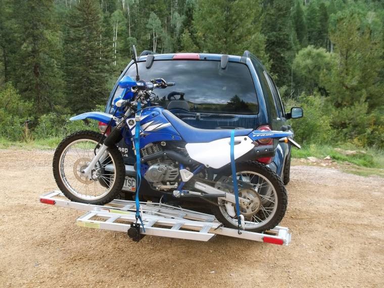
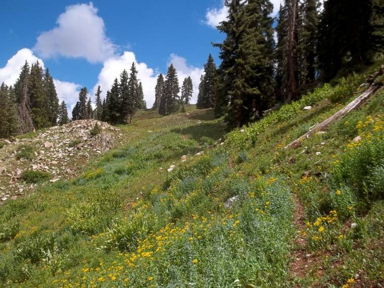
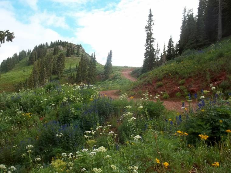
I have made multiple trips up La Plata Canyon now, and I'm not a huge fan of driving the road past La Plata City. It's not terribly bad, but it's slow and annoying in my Liberty. Even though the little sticker on the side of it says "Trail Rated", don't believe it. It's a trick! So recently, I've been parking lower down and running up to Kennebec Trailhead. But that adds a number of miles and vertical, so by the time I get to what I intend to hike, it's late and the storm clouds are already moving in. This time, I decide to park the Jeep at the beginning of the dirt road and then ride the bike up to the trailhead. This idea proved to be much faster (though the time it took me to unload the bike and gear up probably negated any time I made up riding). Regardless, this way was much more fun and likely solidifies that I'm never driving my Jeep up that road as long as I have the bike.
My set-up
trailhead
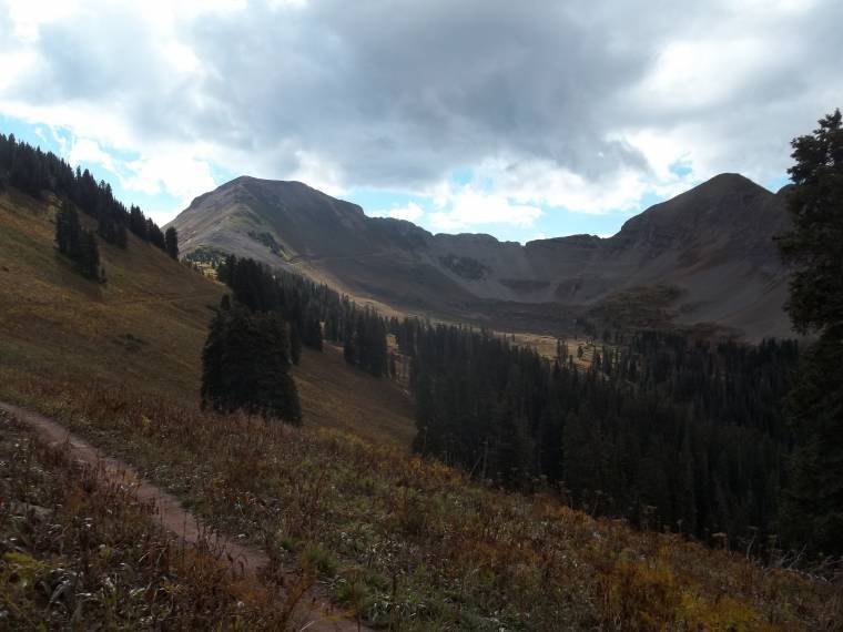
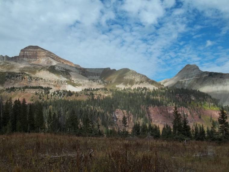
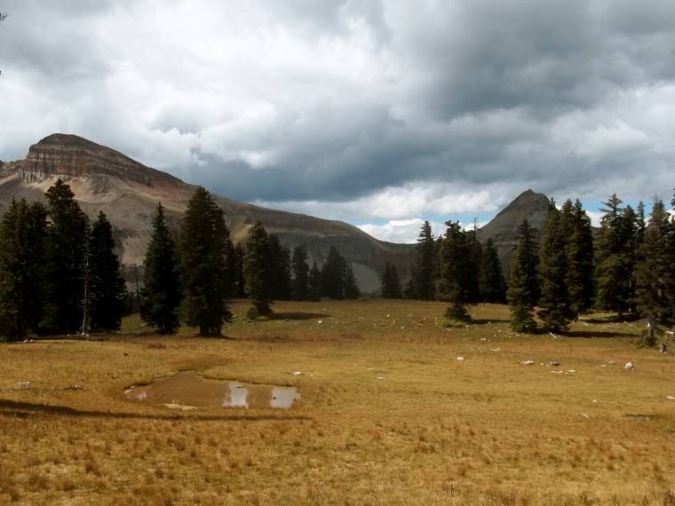
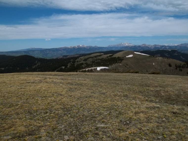
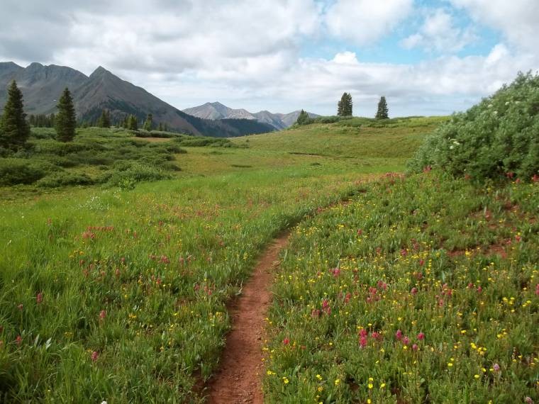
I followed the very familiar Highline Trail to Taylor Lake, turned south onto Sharkstooth Trail, and climbed up and over Marmot Stink Pass. Obviously that's not the name of the pass, but every time I go over that saddle, it stinks of shedding marmot fur. Not that I really know what a shedding marmot smells like, but if I had to guess, that is what it would smell like. From there I dropped about a thousand feet into a beautifully wooded basin. There are a number of water sources and flat open areas that would make this area a decent place to camp. I didn't see any signs of bears or mountain lions, but I have no doubt that they hang out in these parts. At least that's what my paranoid brain would like to think.
Diorite Peak
From Marmot Stink Pass
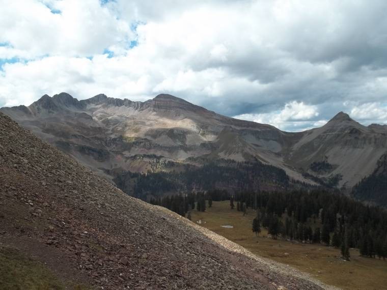
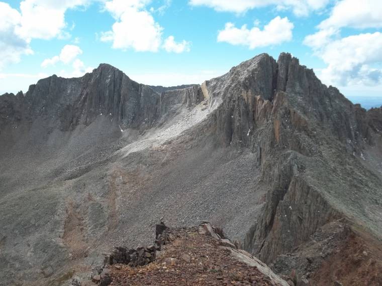
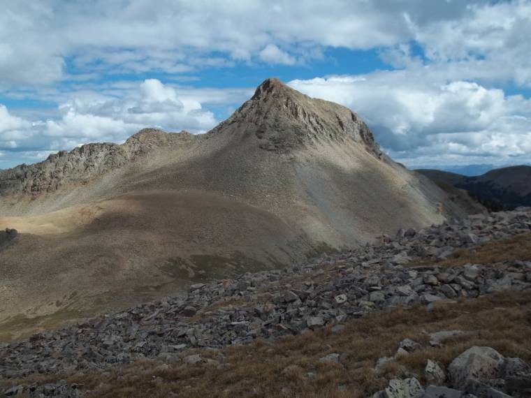
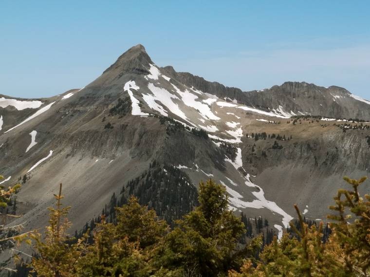
Centennial and Sharkstooth
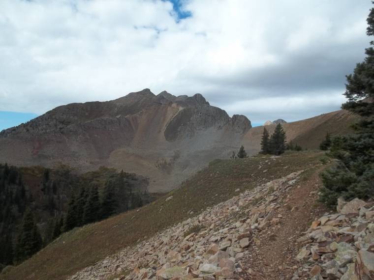
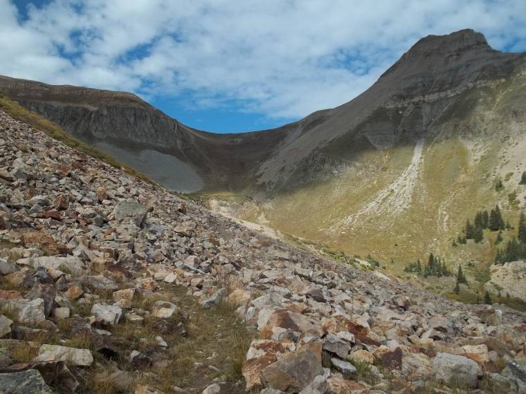
Once I made it to the 11,936' saddle between Sharkstooth and Centennial Peak, it was a straight shot south to the summit. The views of Hesperus Mountain, Lavender Peak, and Mount Moss were quite impressive. On a clear day, you're also treated to views of Lizard Head, Wilsons, Sneffels group, and Weminuche peaks. Unfortunately there was no summit register to be found. How on earth am I supposed to inform the world of my great accomplishment??
Saddle between Centennial and Sharkstooth
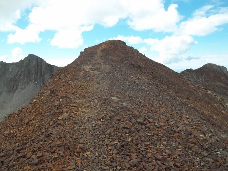
Route up Centennial
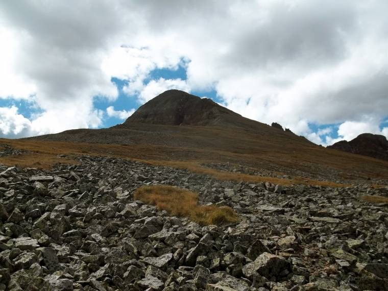
Nearing the summit
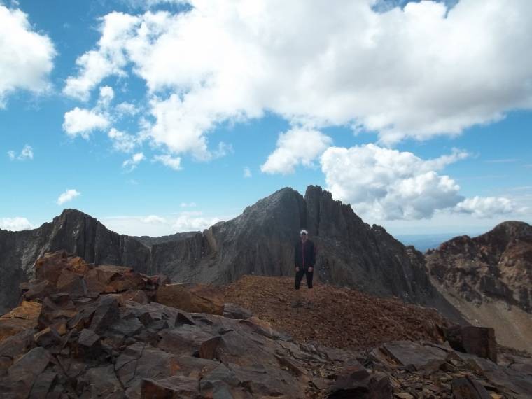
Anyway, I stay for about five minutes, just long enough to take a glory shot...
summit
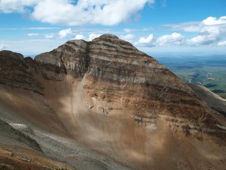
Hesperus
Lavender, Moss
Sharkstooth
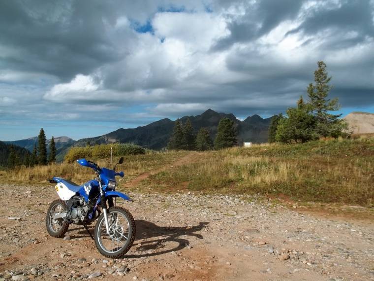
The return trip is a little less rushed knowing that I'd likely make it back in time before any storms came, but hopefully before a marmot chews on my motorcycle helmet. Actually, it was the fact that I was all decked out in rain gear and didn't put on sunscreen that kept the clouds away.
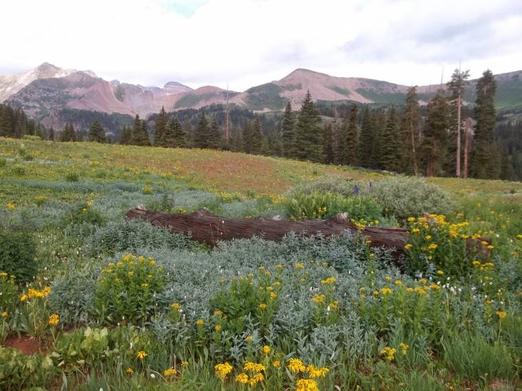
Fall field
Columbus Basin
Return on Highline Trail
Trail running is a great way to go fast and light, but I often find myself forgetting to stop and look around once in a while. So I have to make a concerted effort to slow down and enjoy my surroundings. It also gives me a chance to do some thinking and reflecting. And drink without choking.
I absolutely love getting up into the mountains, but one thing I've realized is that climbing/hiking and growing my peak list isn't my life and it doesn't define who I am. I enjoy doing so many other things and exploring other places that I don't always have the time or energy to hit multiple peaks every weekend.
I think back to the days when I went back to school full-time, while working part-time, and still managed to get up almost every Saturday and Sunday at 3 am so I could pick up my friends and go for a climb, only to return late Sunday night (This might explain all the C's I got though...). I can't do that stuff anymore. The energy, the drive, the OCD-ness, the desire to impress a bunch of people from the Internet - none of it is there. And it feels good. Now, I really enjoy sleeping in. And trail running, and mountain biking, and dirt biking, and going for walks with Zion, and kayaking, and watching my Purdue Boilermakers blow another lead, and slowing down long enough to enjoy each and every journey I take.
I just don't want to miss out on time with those that I care about, time with my dog, time exploring, time enjoying all of my hobbies. I don't want to miss out on everything that life has to offer.
I've added a few extra pictures of the area from different times I've been up here this summer, which I hope you enjoy...
Taylor Lake
Sharkstooth from north
Indian Trail Ridge
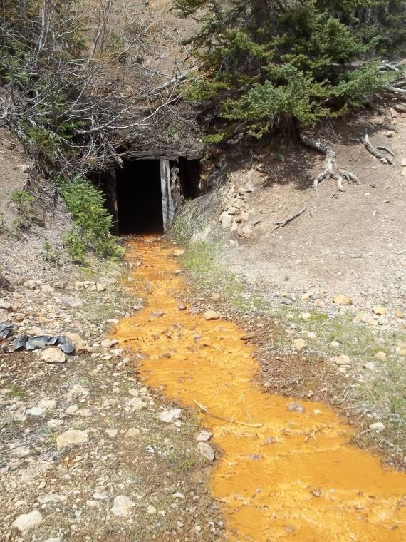
Allard Mine produces TANG!!
Burwell
Shakstooth Trail in June
Sharkstooth Trail in June
Road to Bessie Mine
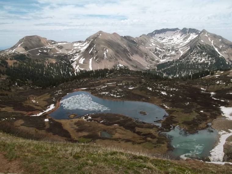
June 2013
June 2013
June 2013
Thumbnails for uploaded photos (click to open slideshow):
When we did the segment of the Colorado Trail to Kennebec Pass the view of the La Platas was increadable. After seeing Sharks Tooth I have been very interested in returning to climb that peak. Thanks for the great report.. Doesn't seem like many people make it to this area of the state.
Nice report Stephanie. Bummer we never got to go for a mountain run. Hope your buddy did well at Hardrock.
Any advice on getting all the La PLatas in one shot? Best TH to do so or the like? I know it may go against your middle paragraph (which I enjoyed) but when the drive is that far I would kind of like to get them all in one shot. Thanks, and sweet bike!
I Moist Say That I Like This Report 9/25/2013 12:53am
Great stuff, Steph. Your route looks more fun than starting at the Sharkstooth TH.
I used to spend lots of time exploring that area when I lived in Farmtown. It's a great escape and would have been even better with a dirt bike! BTW, can you ride the bike over Kennebec Pass? I can't remember if it's wide enough.
Dehrlich - Yes, a very pretty and seldom visited area. Sharkstooth is tempting, but the loose rock is keeping me away for the time being.
Jay - Thanks!
Dillon - Thanks, and glad you liked my 12er report. RMNP is full of gems no matter how high or low you go.
Sarah - The bike is so much fun. It's a little underpowered for the highways, but perfect for around town and 4wd roads.
Abe - Coming from far away it only makes sense to hit as many as you can. I'd say hit them from Owens Basin Tr or Sharkstooth Tr from the west side. If memory serves me correctly, SarahT and perhaps Kevin Baker have done them from that side, so they'd be the ones to give you good info.
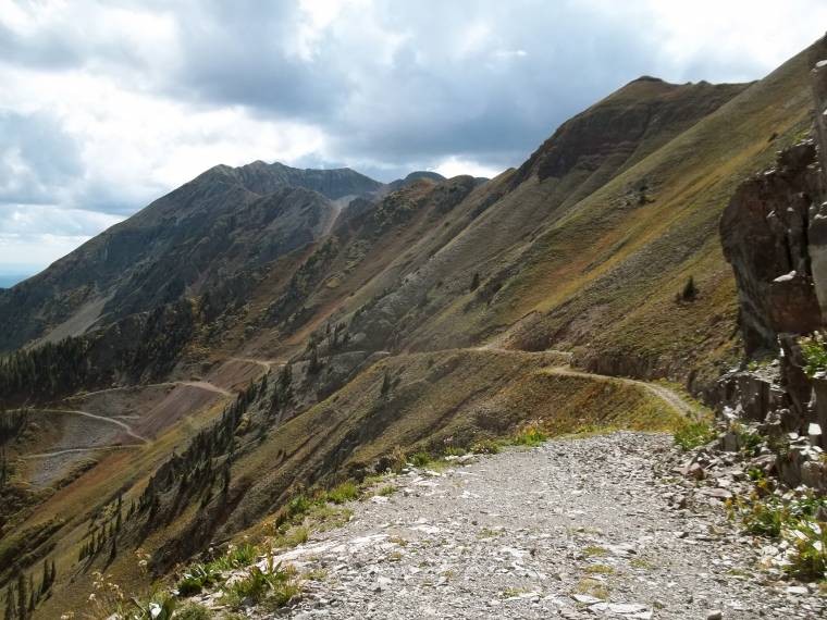
Matt - The actual pass itself is just beyond the Kennebec TH and it's a trail (no motorized traffic). But the road does continue on to the rock gap between Cumberland Mtn and Snowstorm Peak. Images #1 and #25 are taken from that gap. It gets a bit more narrow and I wouldn't want to drive a vehicle down that since there are no pull-outs or turnaround areas. But it's a piece of cake for the bike.
Great pictures and writing as always, and great places. I certainly ”get” being turned back by weather; those peaks get hammered by rain and lightning all summer, even if it's sunny in town. Gotta finally get over to those peaks when I'm in Durango.
You can't think of a better subject-line to your response than ”...”? You are way out of touch with the interwebs. Besides, Centennial peak? Wtf? That is such a made-up name :lol:. Good to see a report out of you. ”climbing/hiking and growing my peak list isn't my life and it doesn't define who I am” - Amen. It is nice to see evolving perspectives out of old friends.
That said, I hope you will not drop out of this scene altogether... for it is my hope that we can, again, re-create our electrifying, dramatic, heart-wrenching, yet completely satisfying Old Baldy adventure to the riveting background score of ”All that she wants” played out of a shoulder-mounted 60W output portable cassette player boom box.
P.S.: Are you going to the Gladbach memorial hike on Sat?
mtnrunner2 - Definitely swing by the La Platas if you get a chance. But hitting anything in and around Durango will be a winner.
Prakash - I'm starting to sense a little sarcasm in your references to a certain band lately. But don't worry, I won't be dropping out of the climbing scene. Just trying to balance life out a little more. Besides, it's trips like Old Baldy that toughen me up for life's challenges. I will be back in the front range this weekend for a short trip, but won't be able to make it to Steve's memorial hike. It's still hard to believe... Anyway, we'll have to meet up sometime and reminisce of our glory days. P.S. Congrats on your recent engagement!
Caution: The information contained in this report may not be accurate and should not be the only resource used in preparation for your climb. Failure to have the necessary experience, physical conditioning, supplies or equipment can result in injury or death. 14ers.com and the author(s) of this report provide no warranties, either express or implied, that the information provided is accurate or reliable. By using the information provided, you agree to indemnify and hold harmless 14ers.com and the report author(s) with respect to any claims and demands against them, including any attorney fees and expenses. Please read the 14ers.com Safety and Disclaimer pages for more information.
Please respect private property: 14ers.com supports the rights of private landowners to determine how and by whom their land will be used. In Colorado, it is your responsibility to determine if land is private and to obtain the appropriate permission before entering the property.