Download Agreement, Release, and Acknowledgement of Risk:
You (the person requesting this file download) fully understand mountain climbing ("Activity") involves risks and dangers of serious bodily injury, including permanent disability, paralysis, and death ("Risks") and you fully accept and assume all such risks and all responsibility for losses, costs, and damages you incur as a result of your participation in this Activity.
You acknowledge that information in the file you have chosen to download may not be accurate and may contain errors. You agree to assume all risks when using this information and agree to release and discharge 14ers.com, 14ers Inc. and the author(s) of such information (collectively, the "Released Parties").
You hereby discharge the Released Parties from all damages, actions, claims and liabilities of any nature, specifically including, but not limited to, damages, actions, claims and liabilities arising from or related to the negligence of the Released Parties. You further agree to indemnify, hold harmless and defend 14ers.com, 14ers Inc. and each of the other Released Parties from and against any loss, damage, liability and expense, including costs and attorney fees, incurred by 14ers.com, 14ers Inc. or any of the other Released Parties as a result of you using information provided on the 14ers.com or 14ers Inc. websites.
You have read this agreement, fully understand its terms and intend it to be a complete and unconditional release of all liability to the greatest extent allowed by law and agree that if any portion of this agreement is held to be invalid the balance, notwithstanding, shall continue in full force and effect.
By clicking "OK" you agree to these terms. If you DO NOT agree, click "Cancel"...
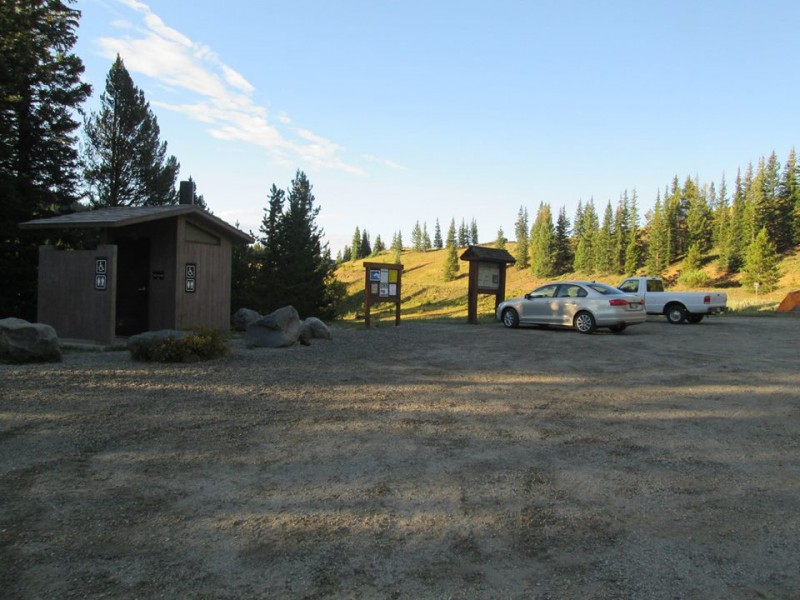
ROUTE: East Ridge from Horn Creek RT DISTANCE: 12 miles RT GAIN: 4,800' RT TIME: 10 hours (leisurely pace)
When San Juan pipe dreams fell through, I decided to use my Labor Day Weekend to attempt some Sangre de Cristo 13ers. I hadn't visited the range all summer. That was just plain unacceptable. Nearly everything was on the table, and Kate and I didn't finally settle on Mt. Adams until the drive down. We decided to approach from the east since we also wanted to try Venable/Comanche or Horn/Fluted/Little Horn later in the weekend.
Holiday traffic on I-25 was pure hell. It took three hours to get from the DTC to Academy Boulevard in the Springs. Before I blew a gasket, we stopped at Cracker Barrel, where I channeled my rage into eating corn muffins. We continued the journey to Westcliffe once the traffic had died down around 8:30 p.m. A creepy night camping at the Horn Creek TH ensued, complete with a roving pack of coyotes, some sort of weird cultish activities at the nearby ranch and a hobbled horse that kept making noises straight out of a demonic possession movie. It wasn't difficult to roll out of bed and hit the trail at 6:15 a.m.
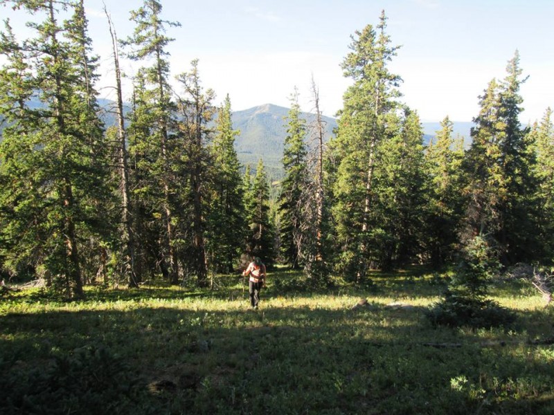
Thanks to globreal's excellent trip report from the Spring Gathering 2012, we knew to take a RIGHT at the first trail junction and a LEFT at the second one 0.1 miles later. On the correct path, we began the long Class 1 hike to Horn Lake at treeline. It was awesome being the only people on the trail on a Saturday during a long weekend. Kate wanted to see a bear, so I made Chewbacca noises to lure one out. My attempts failed. We did see a squirrel though.
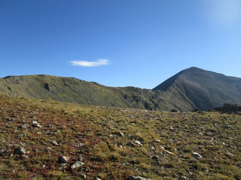
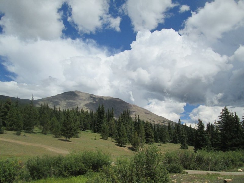
We broke out of the trees a couple hours later and caught our first glimpse of Mt. Adams. The tundra slog up 1,300' to the ridge didn't look too bad -- then we started climbing it. It's loose, steep and broken by frequent scree fields. I spied a line that looked like all grass, but it was a pain trying to get over to it. We noted it for our descent and continued up, reaching the ridge in about an hour from Horn Lake.
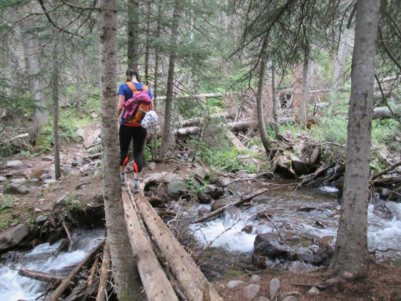
One of several stream crossings.
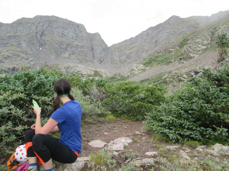
Surveying Mt. Adams (right).
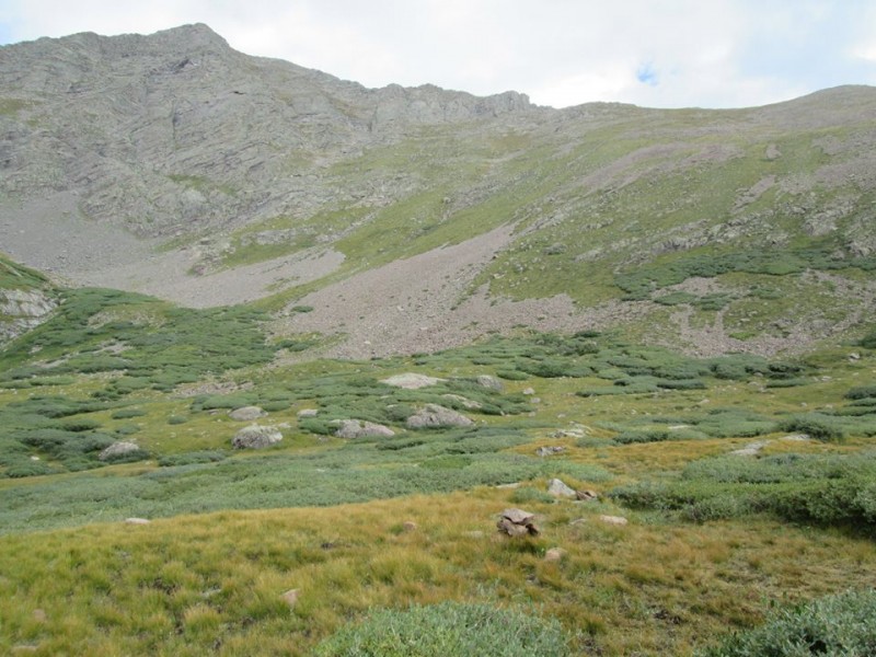
Mt. Adams and the 1,300 of Suck.
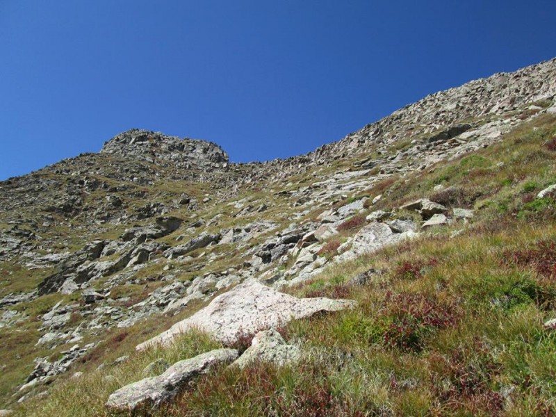
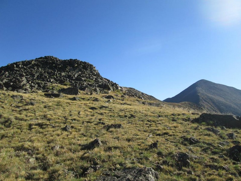
A look along the ridge.
Roach calls the East Ridge Class 2+. Maybe. The ridge proper has some scrambling on it, and dropping down mostly led to loose, exposed, downsloping ledges. Kate had never done any scrambling before so I tried my best to skirt any difficulties. That was dumb. We put ourselves in some dangerous situations in a stubborn attempt to find the Class 2+ route. On the way down we just took the ridge proper most of the way and the Class 3 sections were really fun, not to mention probably safer than Class 2 talus-hopping on downsloping ledges over sizable exposure.
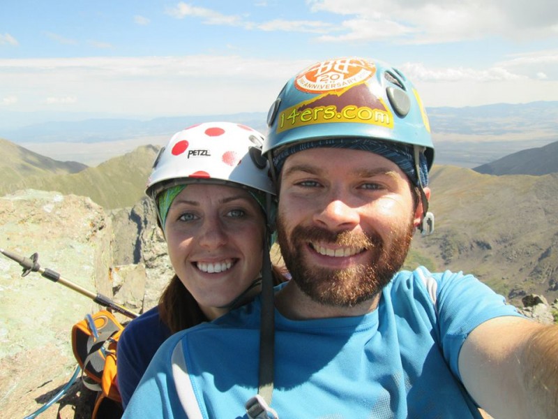
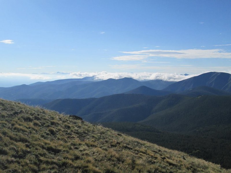
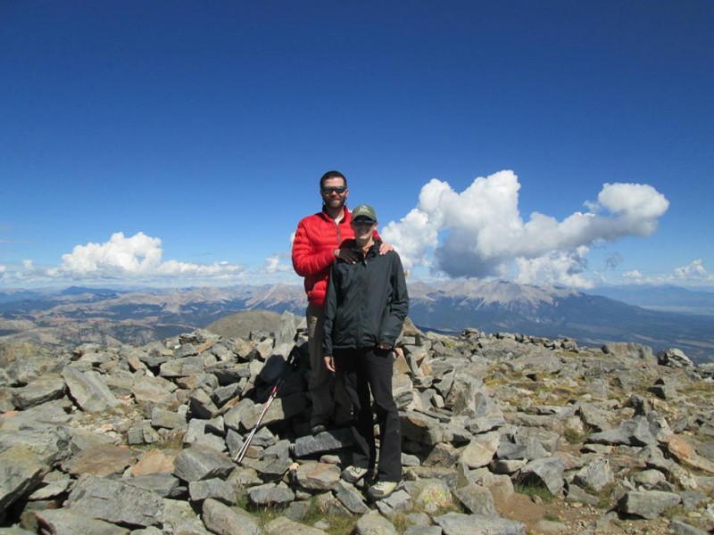
As a result, we found ourselves out on the face for the last few hundred feet to the summit block. It wasn't anything terrible, just more steep tundra. We saw the first other party all day already on the summit, having come up from the other side. Back on the ridge, it was an easy walk to a grassy ledge traversing below the summit. We took that to a little gully and scrambled on up. Storms had been building all morning, so we only stopped long enough to sign the register, snap a few photos and eat a quick snack. We also took a summit selfie because we see those a lot on the 14ers.com Facebook page. We wanted to hang with the cool kids.
Out on the face trying to find the Class 2+ route.
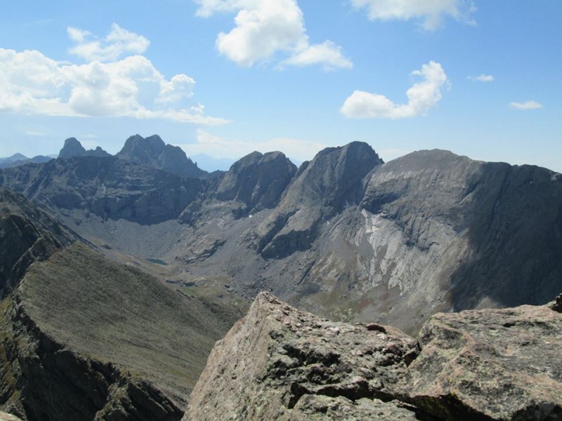
Sangre 14ers.
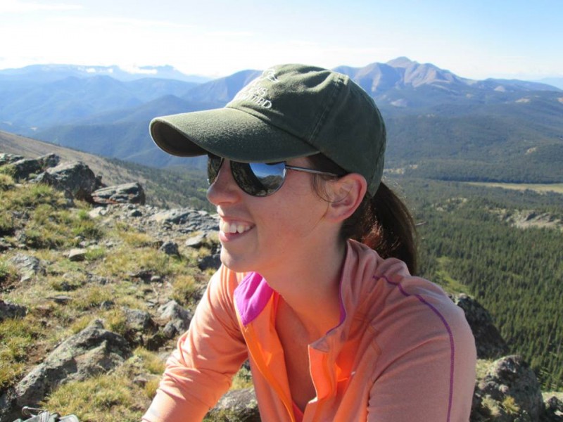
Summit selfie!11!!!!!11!!!
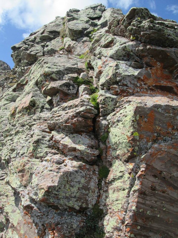
Rather than repeat our tedious "Class 2+" route, we stayed on the ridge proper almost the entire descent. It was relatively easy scrambling, with one section that required face-in downclimbing so I'm going to call it Class 4. Kate rocked it. The scrambling and exposure didn't faze her at all, except one part where she was chatting and laughing then looked down a particularly exposed section and did some sort of weird snort-choke. A few seconds of focus later and she was safely down.
The pure-tundra line that avoided most scree and talus went just fine. The storms had been building quickly, but they held off and the cloud cover kept the temperature comfortable. It was actually a pleasant cruise back to Horn Lake. We regained the trail, whacked our way through some encroaching willows, and started the easy hike back to the car. We ran into other hikers for the second time all day, bound for Horn Lake. But we'd had the east side of Adams all to ourselves. On Labor Day Weekend. I still can't wrap my head around it.
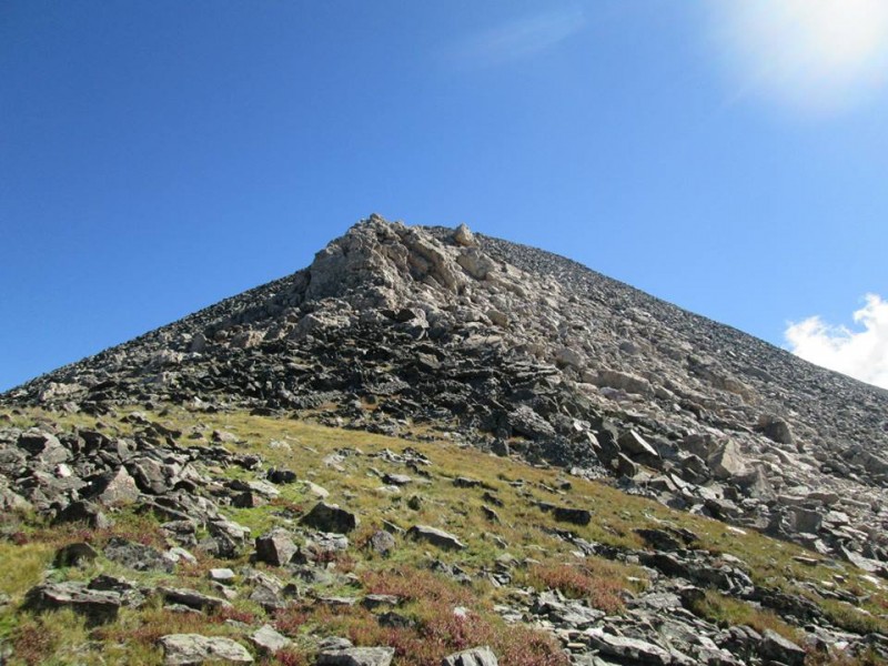
The summit area, with the obvious grassy ledge(s).
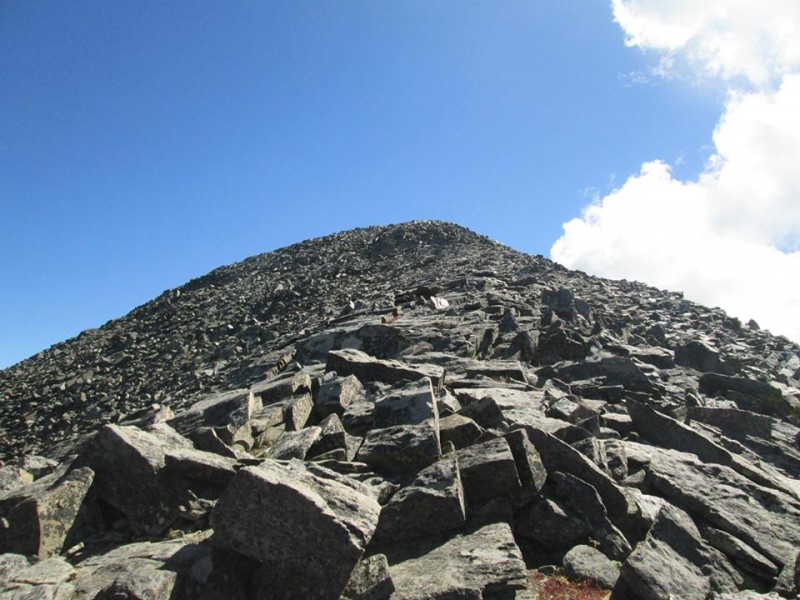
Looking back down the ridge.
Crux downclimb.
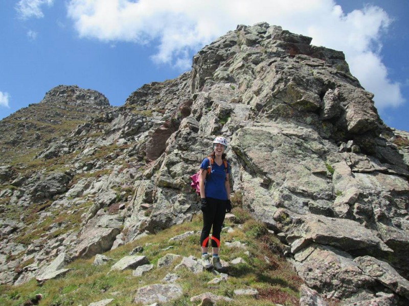
Kate, excited to have finished her first scramble.
One of the few sections we left the ridge proper heading down.
The strip of pure-tundra was enticing and went pleasantly.
Mt. Ouray - 13,971'
ROUTE: West Ridge from Marshall Pass RT DISTANCE: 6.5 miles RT GAIN: 3,300' RT TIME: 6 hours (leisurely pace)
Our plans to stay in the Sangres were thwarted by a poor Sunday forecast and the less-than-desirable camping situation at the Horn Creek TH. We decided to drive to Salida and relax Sunday before hiking Mt. Ouray on Monday, when the forecast was better. We set up camp along the road to the Mt. Shavano trailhead, had a few beers, cooked dinner and passed out shortly after dark. The forecast right before I went to sleep: 60 percent chance of rain and thunderstorms beginning at 9 a.m.
The morning was gorgeous. I checked the forecast again. In mere hours it had changed to a 30 percent chance of rain and t'storms after 2 p.m. Thanks NOAA! The day was already too far gone to find something high to hike, so we headed down to the Joyful Journey Hot Springs. I'm not a big hot springs person. Apparently everyone prefers Valley View to Joyful Journey, but I didn't know where Valley View was and as a rule I try to keep a safe distance between myself and strange dongs. (It's clothing optional.) Joyful Journey (aka the Mineral Hot Springs) was nice enough. We spent about three hours there before the storms arrived and we headed back to Salida and Elevation Brewing. Once properly hydrated, we ate a nice meal at Boathouse Cantina to celebrate our six-month anniversary of dating. Apparently we are in high school.
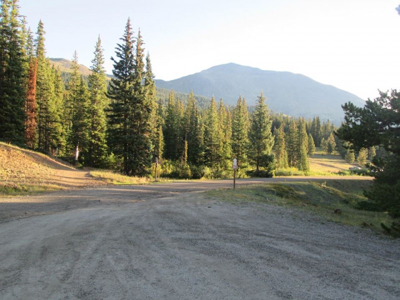
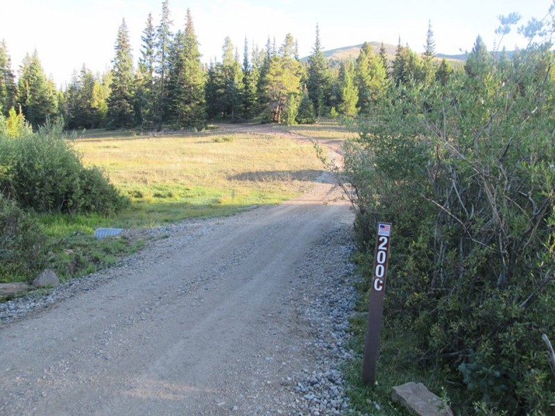
Once the CSU-CU game (no idea why I cared, terrible football, I blame the beer) was over, we meandered over to the Marshall Pass TH. The goal was a sunrise summit, but Roach's directions for the standard West Ridge of Mt. Ouray are horribly confusing. We couldn't even figure out which road to take from the trailhead. Frustrated, we passed out, slept in and hoped the light of day would make things clearer. My main reason for writing this trip report? Helping others find the proper $^&ing road to get started on Mt. Ouray.
Marshall Pass TH.
Looking back east toward the proper road about 0.1 miles away, where the camper is parked.
This one. You'll come to a cabin almost immediately.
A sunrise summit would have been stupid anyway. The route doesn't really have a trail. After reaching the cabin within spitting distance of the TH, you bushwhack through trees and a few open meadows until gaining the ridge. There's lots of deadfall in the area. Routefinding without being able to see the mountain for reference would have been challenging.
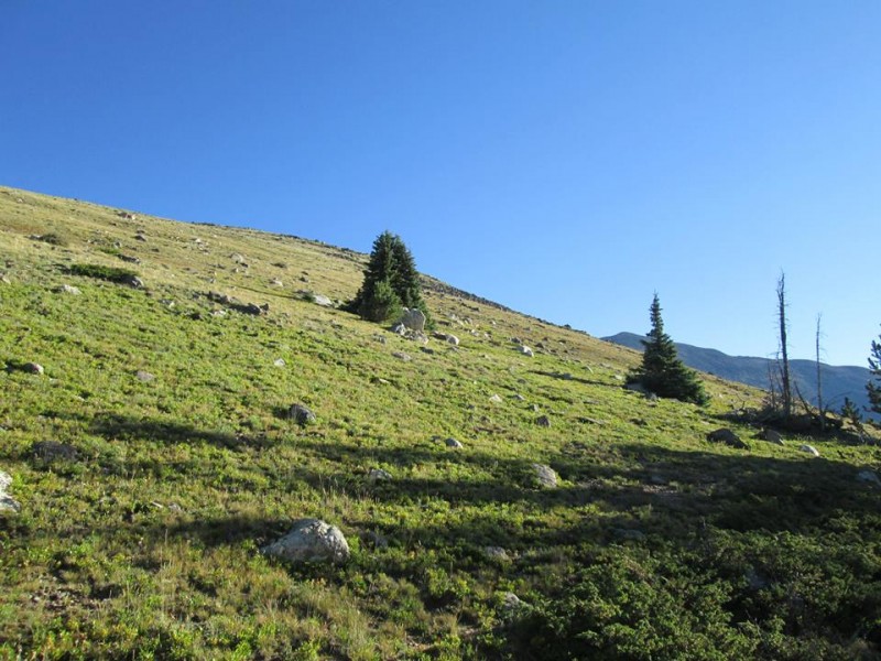
Above treeline, the way becomes obvious. You just run the snaking ridge, mostly on tundra but with some brief sections of talus. It's pretty flat and the morning was beautiful, so we took our time strolling about. Before long we reached the final 1,300' push to the top. It looks a lot worse than it is. It undulates a bit, you go left of some white rocks, do some talus-hopping and boom, you're at the summit. I'd hauled up a stove to make tea and hot soup (remnants of the sunrise summit idea), but a bizarre cloud just off the summit caused us to hurry. In minutes we watched it build from a wisp to a huge tower with a dark bottom. I've never eaten a Cup o' Noodles so fast in my life. Luckily, the descent goes very quickly and we were able to outrun the gathering storm clouds.
No trail, but occasionally you'll find a small cairn. Just go up and avoid the deadfall.
Kate in one of the open meadows.
Breaking out of treeline.
Can't ask for a prettier morning.
A happy girlfriend is good, right?
Gaining the ridge.
Go right around this rocky outcropping on a cairned trail.
Up we go.
Go left around these white rocks.
Eventually the whole thing turns to talus. I didn't see a trail here. Up and up and up.
Someone else was up there, so no selfie required.
Storms building over Shavano.
Back into treeline. Head straight down, trending left to use meadows and avoid the deadfall.
Back to the car as the thunder rolls.
I hadn't had my fill of traffic during my three-hour journey from Denver to Colorado Springs a few nights prior, so we hit U.S. 285 in the afternoon at the end of a holiday weekend. This was an excellent choice. More than four hours later we arrived home in Denver. With Labor Day over and done with, it's time to start looking ahead to the "end" of "climbing season." I already saw some Aspens changing. Winter is coming...and not soon enough. I'm tired of reading about poop.
Thumbnails for uploaded photos (click to open slideshow):
Not your Kate, that other Kate... 9/5/2013 11:33pm
I've seen them a couple of times, I wish they would make another good album but I am losing hope. Less horns more guitar! Their first 5 albums are great though.
I'm sure list will get done eventually, over a long period of time. I'm just not chasing it like the 14ers. I find too much enjoyment in lower 13ers, repeating 14ers, ice climbing, etc. to devote myself so solely to one pursuit again. Blegh.
You'll get Kate addicted. Thanks for Ouray beta. Looking forward to that one soon.
Caution: The information contained in this report may not be accurate and should not be the only resource used in preparation for your climb. Failure to have the necessary experience, physical conditioning, supplies or equipment can result in injury or death. 14ers.com and the author(s) of this report provide no warranties, either express or implied, that the information provided is accurate or reliable. By using the information provided, you agree to indemnify and hold harmless 14ers.com and the report author(s) with respect to any claims and demands against them, including any attorney fees and expenses. Please read the 14ers.com Safety and Disclaimer pages for more information.
Please respect private property: 14ers.com supports the rights of private landowners to determine how and by whom their land will be used. In Colorado, it is your responsibility to determine if land is private and to obtain the appropriate permission before entering the property.