Download Agreement, Release, and Acknowledgement of Risk:
You (the person requesting this file download) fully understand mountain climbing ("Activity") involves risks and dangers of serious bodily injury, including permanent disability, paralysis, and death ("Risks") and you fully accept and assume all such risks and all responsibility for losses, costs, and damages you incur as a result of your participation in this Activity.
You acknowledge that information in the file you have chosen to download may not be accurate and may contain errors. You agree to assume all risks when using this information and agree to release and discharge 14ers.com, 14ers Inc. and the author(s) of such information (collectively, the "Released Parties").
You hereby discharge the Released Parties from all damages, actions, claims and liabilities of any nature, specifically including, but not limited to, damages, actions, claims and liabilities arising from or related to the negligence of the Released Parties. You further agree to indemnify, hold harmless and defend 14ers.com, 14ers Inc. and each of the other Released Parties from and against any loss, damage, liability and expense, including costs and attorney fees, incurred by 14ers.com, 14ers Inc. or any of the other Released Parties as a result of you using information provided on the 14ers.com or 14ers Inc. websites.
You have read this agreement, fully understand its terms and intend it to be a complete and unconditional release of all liability to the greatest extent allowed by law and agree that if any portion of this agreement is held to be invalid the balance, notwithstanding, shall continue in full force and effect.
By clicking "OK" you agree to these terms. If you DO NOT agree, click "Cancel"...
Holiday weeks almost always result in a bisected weekend. I get the holiday off, but have to work the following Saturday to make up for it. I usually use these single days off to either explore the mountains closer to home, or to sit around and curse myself for not being in the mountains. I had been wanting to scout out some photography locations around the Sharkstooth in Rocky Mountain National Park for quite some time, so I decided to use my day off on the fourth to do just that. I woke up at 3am, threw on my "I'm Pumped For Handies" T-shirt, ate some granola, hopped into my Prius and drove to the Glacier Gorge trailhead.* I hit the trail around 5 (it takes a while to get up to the Park when you're driving the speed limit), and made my way towards the split rock that marks the beginning of the shortcut trail. I have taken a shortcut north of East Glacier Knob several times, mostly in the winter, but I always left the main trail too soon and never actually took THE shortcut. I remember seeing the split rock while backpacking in June and made a note to try this shortcut the next time. This trail has multiple benifits: it saves about a half mile each way, it provides excellent views of Hallett, and on the return it avoids the traffic jam of tourists on the main trail.
*certain elements of this statement may or may not be true
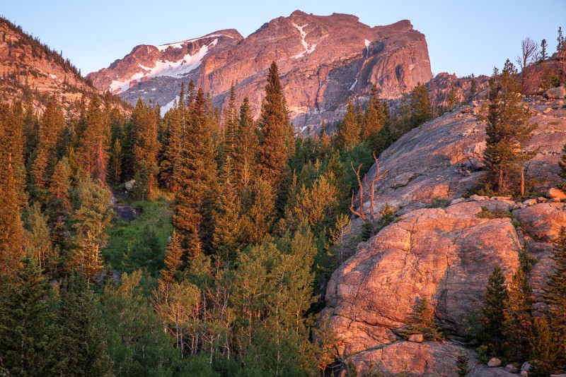
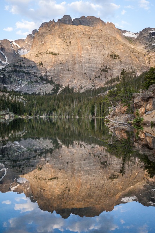
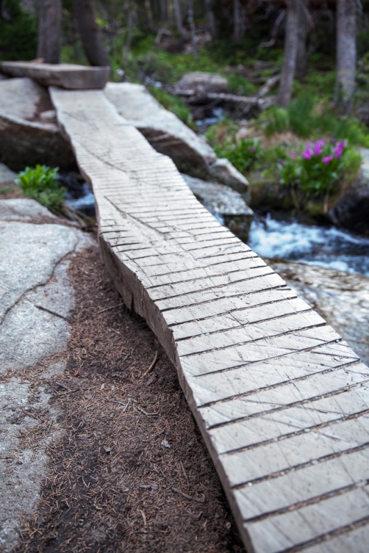
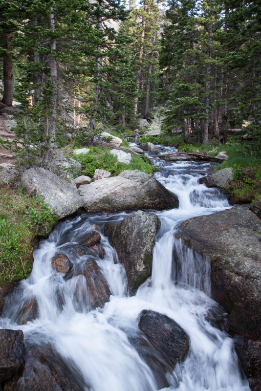
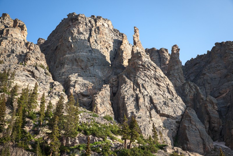
The split rock that marks the start of the shortcut trail Sunrise from the Glacier Gorge Shortcut Trail Along the shortcut trail Hallett Peak bathed in morning light Along the Loch Vale Trail At the Loch Stream crossing by the Sky Pond/Andrews Glacier split Andrews Creek Interesting features on the south side of Otis First good look at the Sharkstooth
For those of you who were wondering...yes, the Sharkstooth is ranked, and Rocky will likely be yet another list I will never complete.
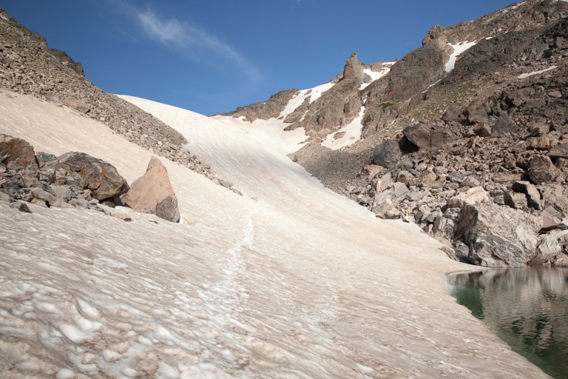
Andrews Tarn and Glacier
After enjoying Andrews Tarn, I got out my axe, put on my spikes and headed up Andrews Glacier
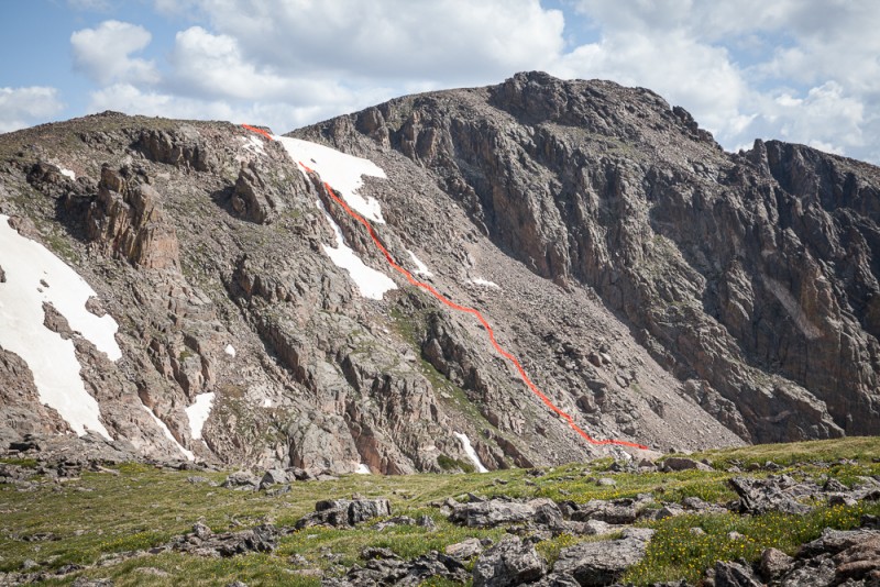
I quickly became bored walking up the glacier and started looking for a more direct route up Otis. I followed a line of grassy slopes and ramps that appeared to provide easy passage to the ridge, but as I approached the top I encountered some steeper terrain that required a few class 3 (fun) moves. As I was just about to top out, I discovered that I would have to cross about 20 feet of steep snow in order to gain the ridge. I was very glad to have my axe handy because there was no way in hell I would have tried this otherwise.
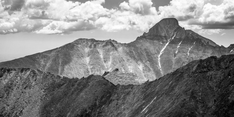
Longs peeking over the Thatchtop/Powell traverse
The summit of Otis was not much farther after reaching the ridge, and I could already see people enjoying the summit of Hallett off in the distance.
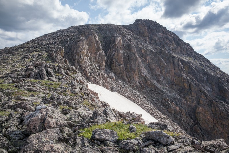
Near the Summit of Otis Hallett from Otis
After a brief stay on Otis I made my way down to Andrews Pass. I had only intended to hike Otis, but I was feeling good, the weather looked great, and Taylor's gradual grassy slopes looked very inviting.
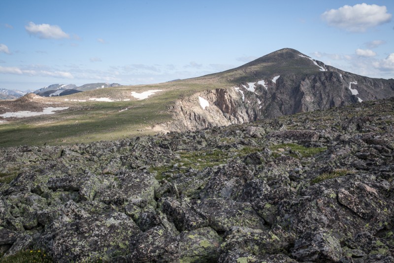
Looking over toward Taylor (upper right)
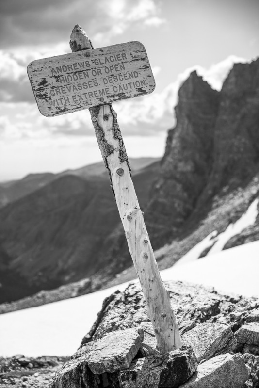
I passed the sign above Andrews Glacier on my way towards Taylor. As I would later discover on my glissade down the glacier, the sign does not lie. I saw several open crevasses, one of which appeared to have been recently skied or glissaded over and could have easily swallowed a person. I was glad to see the person's tracks continued on past the crevasse.
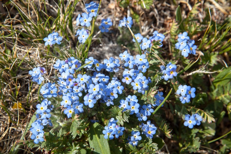
At Andrews Pass, looking back at Otis and my approximate route up from the glacier Alpine Forget-Me-Nots (Lego Flowers) Taylor's Summit Welcoming Committee. (Good thing I have two hands!) Looking down on the Sharkstooth and Sky Pond Back at Andrews Tarn
Yet another great day in the Park.
Thumbnails for uploaded photos (click to open slideshow):
Tell me, is the size of Andrew's Glacier ”typical” for July? I remember it being so much larger than that even in mid-late July in the early 1980s, but then, I was so much smaller.
Your photos are beyond awesome. Take my stupid Droid 4 phone, break it over my head, and take me to the store to buy a real camera, so I can even begin to attempt to show all these kidz how it's done for real...
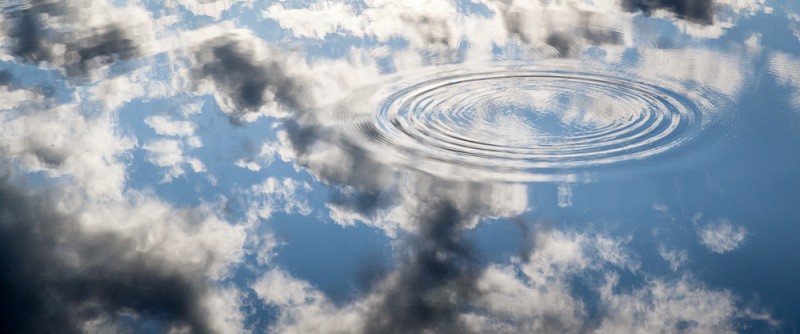
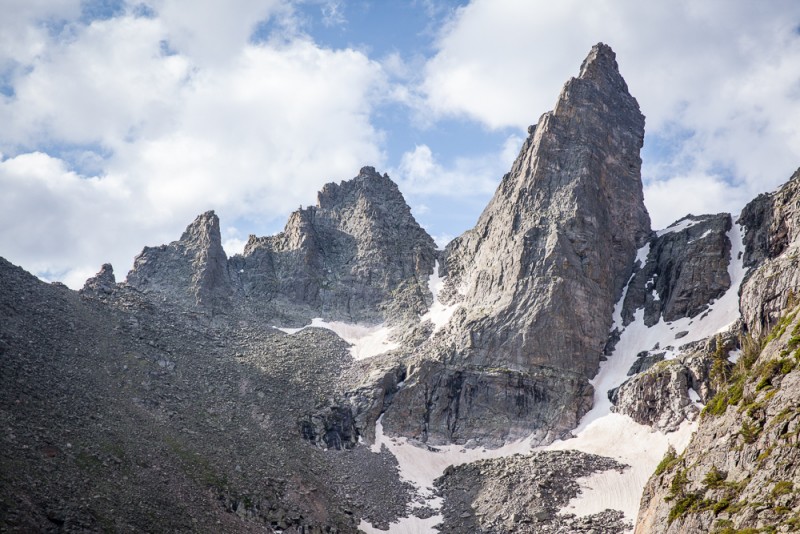
Your photos are amazing! I especially liked the one of the water drop and ripples. Incase you want to know, the ”interesting” feature in photo #10 is called Zowie. Nice report!
I did Otis and Taylor as a combo a few years ago and thought it was a great hike (but I ascended Otis' NE ridge and descended via the glacier). Since that time the only way I could re-live the hike was through my mediocre pictures, until you came along with your truly fine photos. Bravo! By the way snow cover on the glacier looks similar to what I saw in 2008, but I don't recall that I saw any open crevasses
when sliding down the glacier.
From other pictures I've seen, the size of the glacier varies quite a bit. I'm sure it looks a little better this year because of the spring snow, but I'm guessing it looked much better back in the '80s.
Great pics of one of the most beautiful alpine basins in the park. I won't forget the first time I went up the trail to Andrews Glacier from the Loch. The spires and towers rising high above were breathtaking. I've been up the glacier twice...once for Taylor, once for Powell. This report brings back those good memories. Definitely a place to return to again and again. And...I've seen you move on rock like a natural. I think the RMNP list would be within your reach...
Caution: The information contained in this report may not be accurate and should not be the only resource used in preparation for your climb. Failure to have the necessary experience, physical conditioning, supplies or equipment can result in injury or death. 14ers.com and the author(s) of this report provide no warranties, either express or implied, that the information provided is accurate or reliable. By using the information provided, you agree to indemnify and hold harmless 14ers.com and the report author(s) with respect to any claims and demands against them, including any attorney fees and expenses. Please read the 14ers.com Safety and Disclaimer pages for more information.
Please respect private property: 14ers.com supports the rights of private landowners to determine how and by whom their land will be used. In Colorado, it is your responsibility to determine if land is private and to obtain the appropriate permission before entering the property.

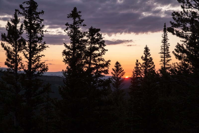


 Sunrise from the Glacier Gorge Shortcut Trail")
 The split rock that marks the start of the shortcut trail")
 Along the shortcut trail")
 Hallett Peak bathed in morning light")
 Along the Loch Vale Trail")
 At the Loch")
")
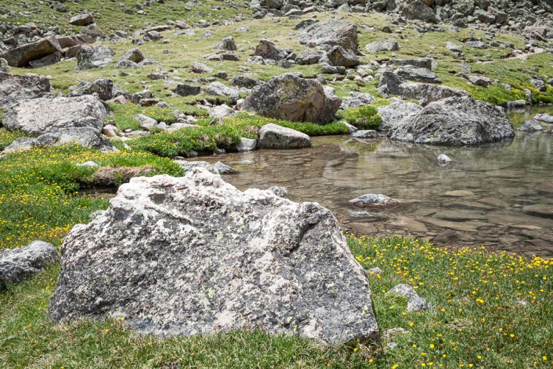
 Stream crossing by the Sky Pond/Andrews Glacier split")
 Andrews Creek")
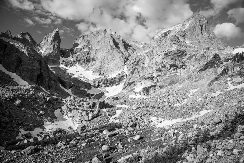
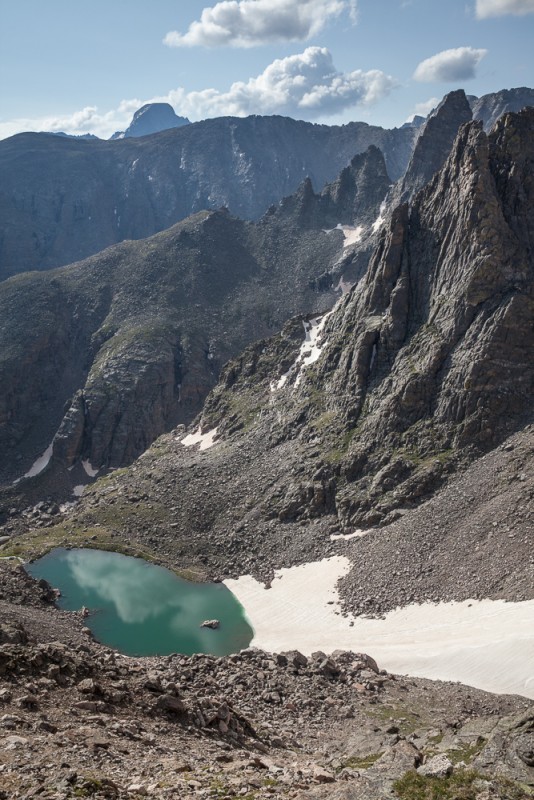
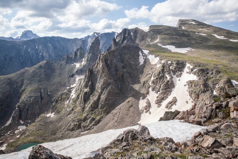
 Interesting features on the south side of Otis")
")
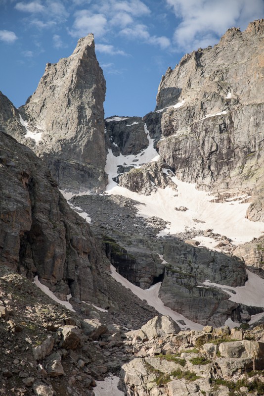
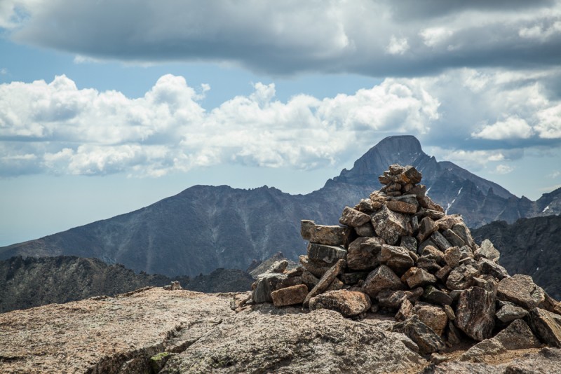
 First good look at the Sharkstooth")
")
")
")
 Andrews Tarn and Glacier")
")
 Longs peeking over the Thatchtop/Powell traverse")
 Hallett from Otis")
 Near the Summit of Otis")
 Looking over toward Taylor (upper right)")
")
 At Andrews Pass, looking back at Otis and my approximate route up from the glacier")
 Alpine Forget-Me-Nots (Lego Flowers)")
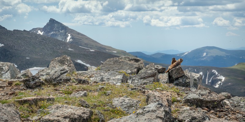
 Taylor's Summit Welcoming Committee. (Good thing I have two hands!)")
")
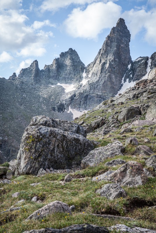
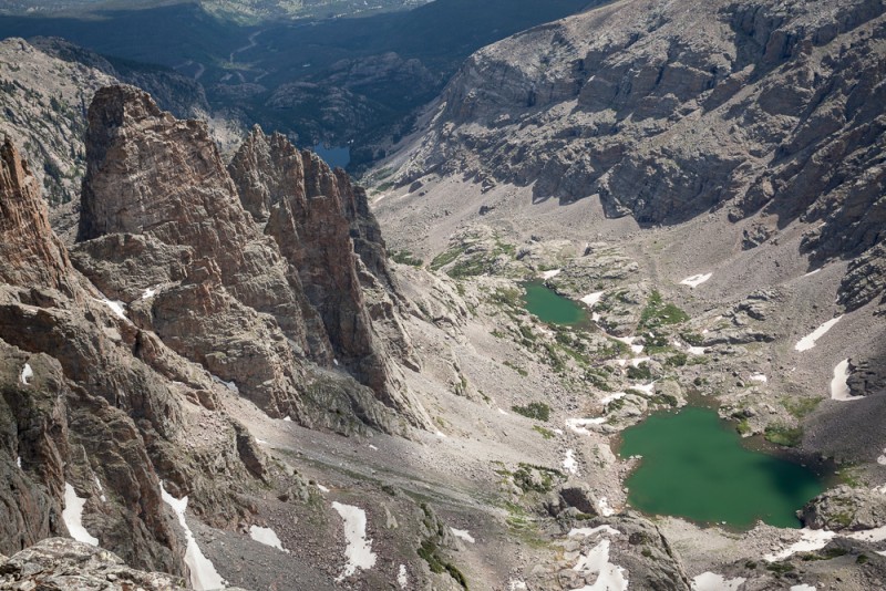
 Looking down on the Sharkstooth and Sky Pond")
")
 Back at Andrews Tarn")
")