Download Agreement, Release, and Acknowledgement of Risk:
You (the person requesting this file download) fully understand mountain climbing ("Activity") involves risks and dangers of serious bodily injury, including permanent disability, paralysis, and death ("Risks") and you fully accept and assume all such risks and all responsibility for losses, costs, and damages you incur as a result of your participation in this Activity.
You acknowledge that information in the file you have chosen to download may not be accurate and may contain errors. You agree to assume all risks when using this information and agree to release and discharge 14ers.com, 14ers Inc. and the author(s) of such information (collectively, the "Released Parties").
You hereby discharge the Released Parties from all damages, actions, claims and liabilities of any nature, specifically including, but not limited to, damages, actions, claims and liabilities arising from or related to the negligence of the Released Parties. You further agree to indemnify, hold harmless and defend 14ers.com, 14ers Inc. and each of the other Released Parties from and against any loss, damage, liability and expense, including costs and attorney fees, incurred by 14ers.com, 14ers Inc. or any of the other Released Parties as a result of you using information provided on the 14ers.com or 14ers Inc. websites.
You have read this agreement, fully understand its terms and intend it to be a complete and unconditional release of all liability to the greatest extent allowed by law and agree that if any portion of this agreement is held to be invalid the balance, notwithstanding, shall continue in full force and effect.
By clicking "OK" you agree to these terms. If you DO NOT agree, click "Cancel"...
The West Fork fire pretty much burned up my plans for climbing the 13ers around Rio Grande Reservoir so on to plan B, a few days in the Sangres.
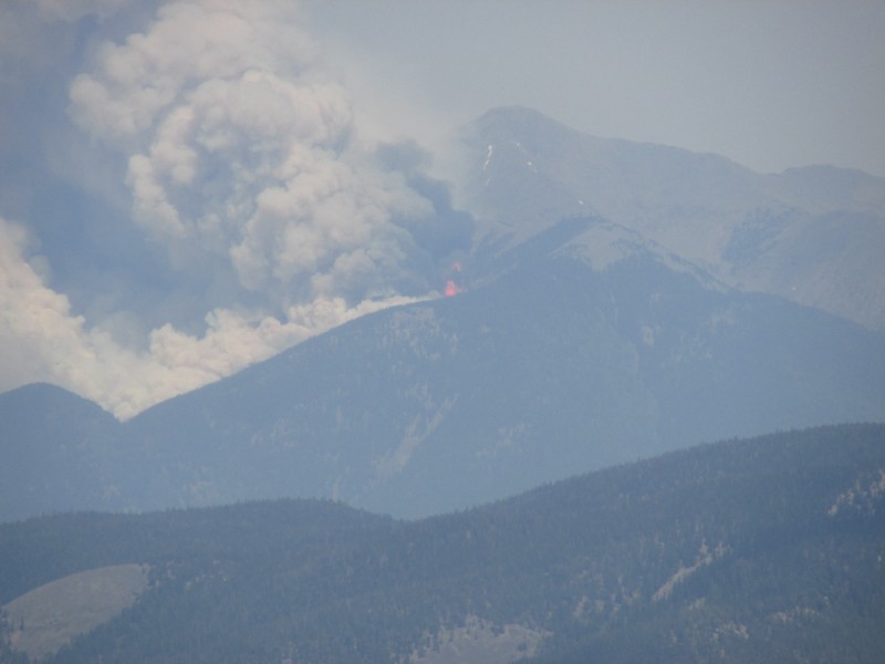
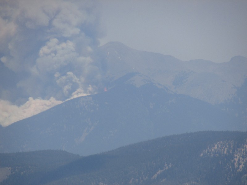
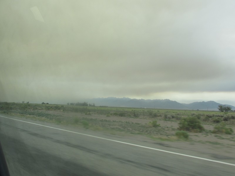
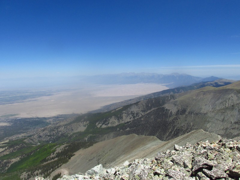
On the drive down to Alamosa I stopped by Marshall Pass and climbed a few peaks while watching the Ox Cart Fire grow.
Ox Cart Fire Haze in San Luis Valley
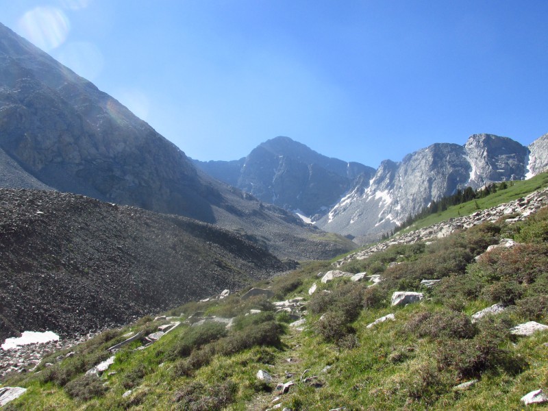
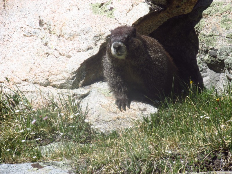
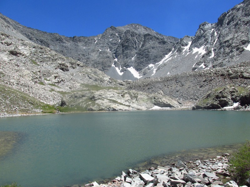
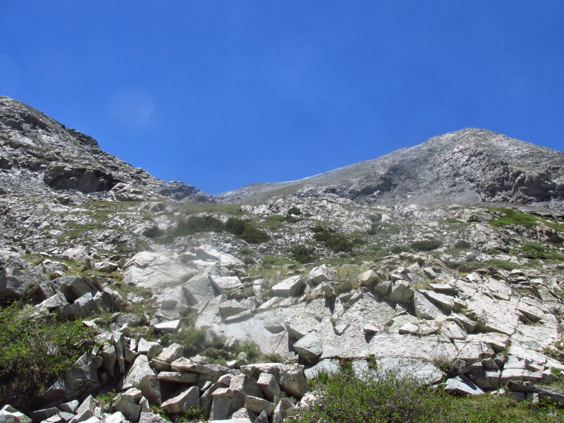
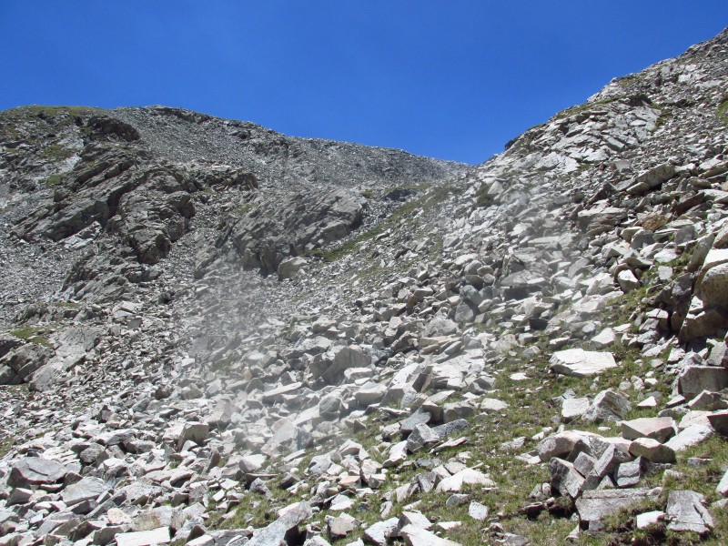
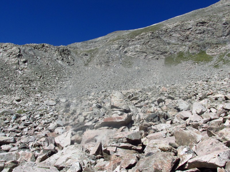
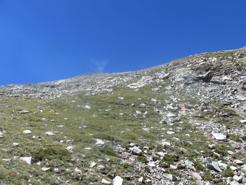
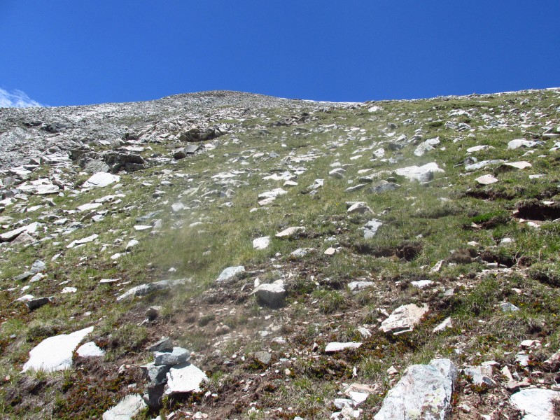
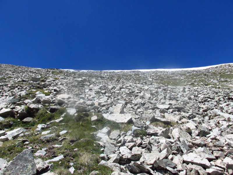
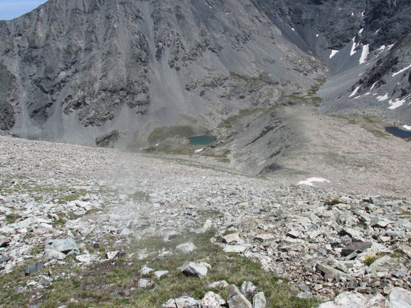
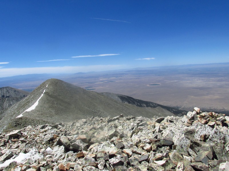
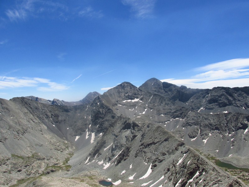
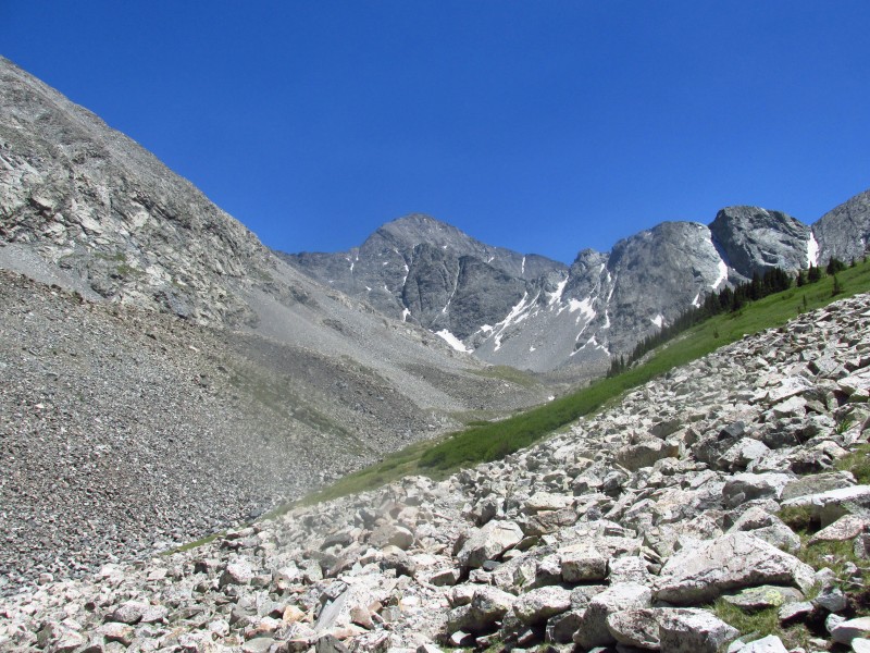
I arrived at the trailhead at 7:00 by 7:15 I was hiking up the annoyingly long trail. Why do the Sangre trails seem so much longer than they actually are? Having just read about the tragic news of Steve's death, I spent most of the ascent reflecting on a man I never met in person, but felt like I had. He helped me with a number of questions I had with 13ers. At 9:15 I finally arrived at the lake and admired the impressive views. Since I was in no hurry and the weather was good I spent half an hour sitting by the lake making friends with a marmot. The siren call of the summit finally overcame the comfort of the lake. I made my way up two benches before following remnants of a trail until it faded into oblivion. From there I followed the path of least resistance to the saddle, it was steep and somewhat tedious. The walk to the summit was quick and I summited at 11:00. The views are great.
Marmot friend View towards Twin Peaks from lake Path leading to second bench I ascended the grassy finger to the upper slopes First view of the upper slopes The last cairn Almost to the saddle Looking down Sand Dunes South Twin Peak
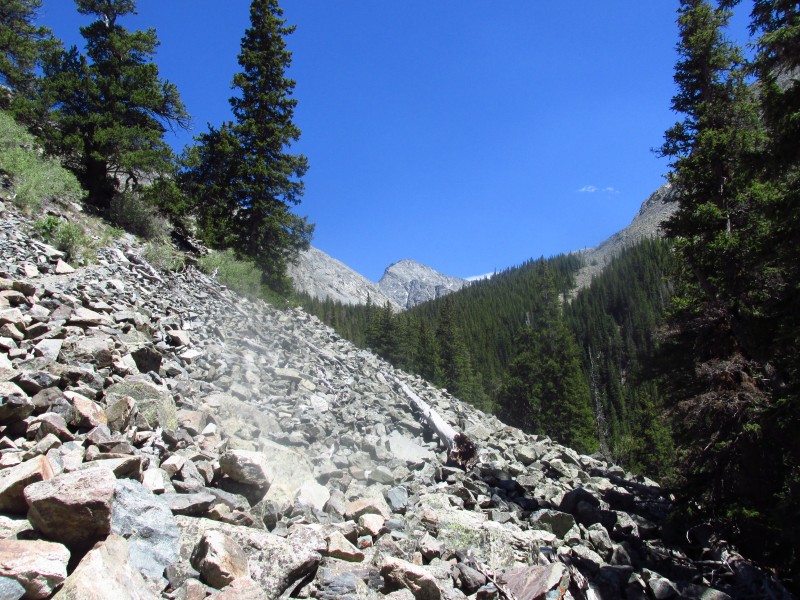
I had to summit the south peak so I quickly walked over it and wandered down the steep slopes towards the lake. The lake was such a nice spot I decided to take an icy dip, knowing I would be baking in a few hours. It took a while but I finally pried myself away from the lake and the jawdropping view of Ellingwood and made the long walk down. I dipped my head in all the creeks to keep cool. The last mile or so was torture in the heat of the day.
Last view of Ellingwood
Thumbnails for uploaded photos (click to open slideshow):
Comments or Questions
Caution: The information contained in this report may not be accurate and should not be the only resource used in preparation for your climb. Failure to have the necessary experience, physical conditioning, supplies or equipment can result in injury or death. 14ers.com and the author(s) of this report provide no warranties, either express or implied, that the information provided is accurate or reliable. By using the information provided, you agree to indemnify and hold harmless 14ers.com and the report author(s) with respect to any claims and demands against them, including any attorney fees and expenses. Please read the 14ers.com Safety and Disclaimer pages for more information.
Please respect private property: 14ers.com supports the rights of private landowners to determine how and by whom their land will be used. In Colorado, it is your responsibility to determine if land is private and to obtain the appropriate permission before entering the property.