Download Agreement, Release, and Acknowledgement of Risk:
You (the person requesting this file download) fully understand mountain climbing ("Activity") involves risks and dangers of serious bodily injury, including permanent disability, paralysis, and death ("Risks") and you fully accept and assume all such risks and all responsibility for losses, costs, and damages you incur as a result of your participation in this Activity.
You acknowledge that information in the file you have chosen to download may not be accurate and may contain errors. You agree to assume all risks when using this information and agree to release and discharge 14ers.com, 14ers Inc. and the author(s) of such information (collectively, the "Released Parties").
You hereby discharge the Released Parties from all damages, actions, claims and liabilities of any nature, specifically including, but not limited to, damages, actions, claims and liabilities arising from or related to the negligence of the Released Parties. You further agree to indemnify, hold harmless and defend 14ers.com, 14ers Inc. and each of the other Released Parties from and against any loss, damage, liability and expense, including costs and attorney fees, incurred by 14ers.com, 14ers Inc. or any of the other Released Parties as a result of you using information provided on the 14ers.com or 14ers Inc. websites.
You have read this agreement, fully understand its terms and intend it to be a complete and unconditional release of all liability to the greatest extent allowed by law and agree that if any portion of this agreement is held to be invalid the balance, notwithstanding, shall continue in full force and effect.
By clicking "OK" you agree to these terms. If you DO NOT agree, click "Cancel"...
I found myself with the day off and knew I wanted to get out for a solo. Not only did I need to keep in shape for a trip to South America that I leave for on Saturday, but I do some of my best thinking when alone up high, and lately there is a need for a lot of it.
I left Boulder Monday night and decided to pull off at the Bakerville exit, arriving after 11pm. I got some zzzz's and got back on the road at 6:30am. I was originally headed for the Iowa Gulch 13ers, based on Aaron's report, but when I arrived in Leadville I was instantly motivated to drive a bit further and headed down to the La Plata TH for Grizzly Peak A. I only had 2 Centennials left in the Sawatch and the route looked fun. I got some quick beta from Aaron and I was good to go.
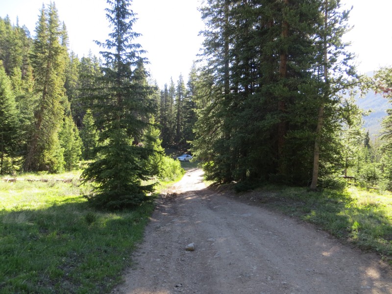
Initial road
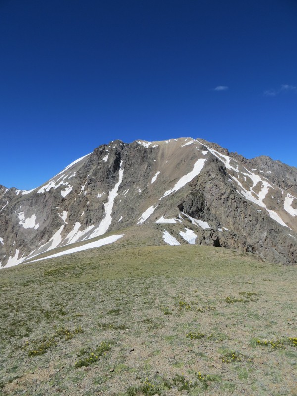
First view of Upper Basin, Grizzly is on the right
Grassy slopes I used to gain the East Ridge
Ridge crest on the lower ridge
I arrived at the busy Trailhead and continued down the Forest Service road and over the bridge. The 3.2 miles that I drove were very tough on my low clearance Subaru and took quite a while. I parked before the final fork, a little over a mile from the gate. From here I expected 8-9 miles round trip.
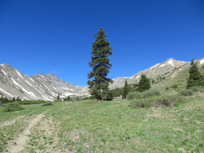
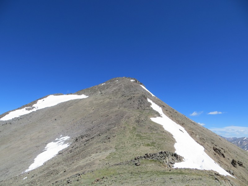
I set out at 8:45am and made good time to the gate. Above here there is an old mining road that is easy to follow for another 1.1 miles. I encountered only very minor snow on the roads, and it was avoidable if you were determined. Near the end of the road I turned north and headed up loose grassy slopes to Grizzly's East Ridge. This is a variation from the normal route, but Aaron suggested it would add some fun to my day. Turns out that staying on the ridge longer is a good way to go.
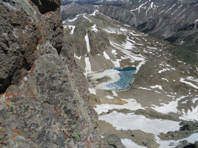
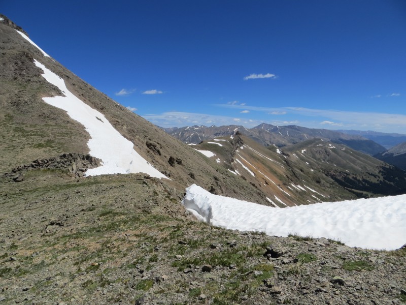
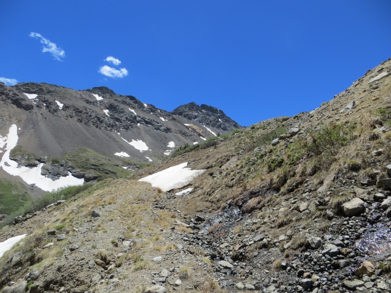
View into the next basin
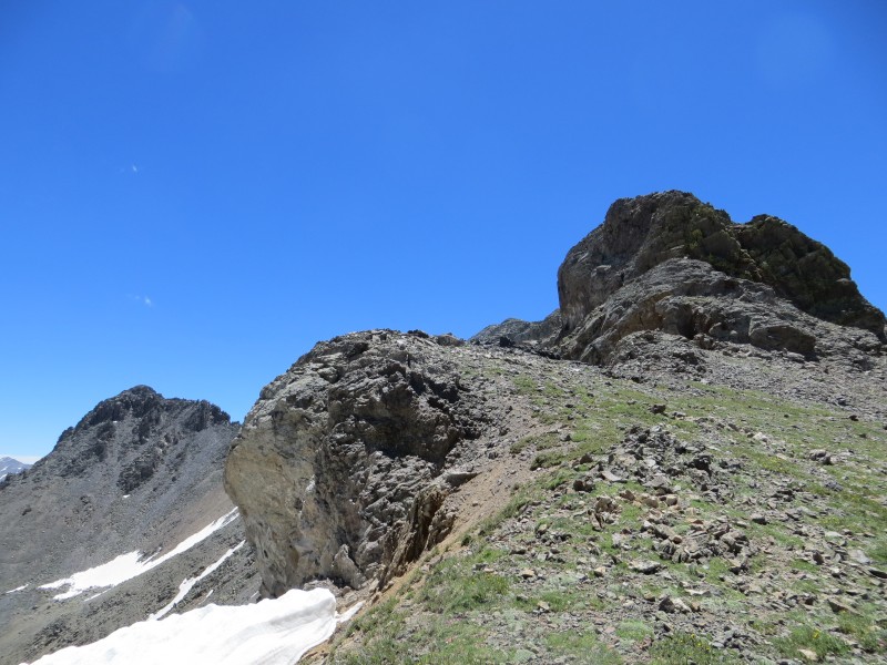
Joining the standard route
A bit of exposure
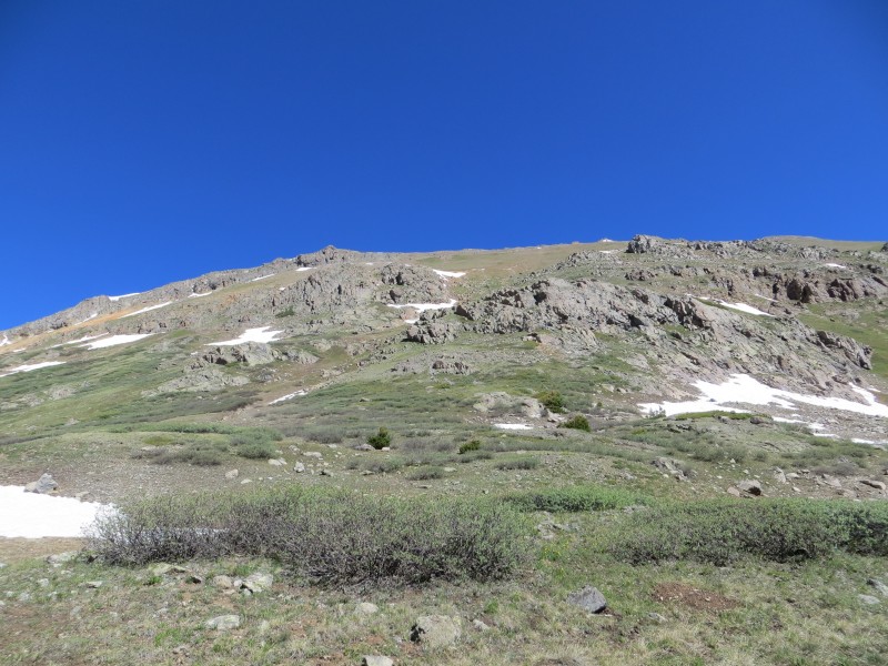
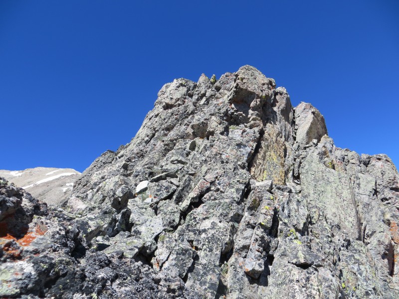
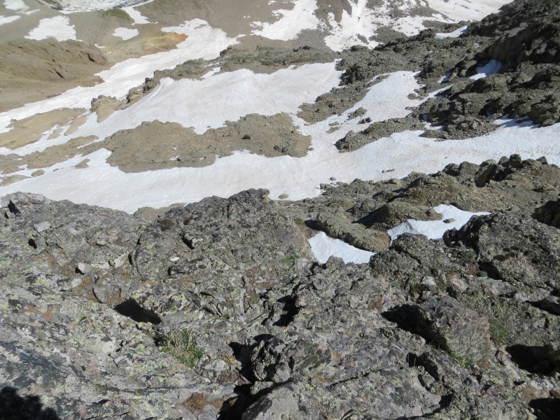
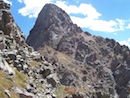
The trip up was tedious and I was happy to be on the ridge. The rock was loose enough that I needed to watch my footing. I headed up the ridge, encountering minor difficulties along the way. Overall the trip to the main and menacing Gendarme went by with little effort. As the route description says, you can drop down on the left in dry conditions, or scramble around it if there is snow. Well, there was snow and I decided to just go up and over the tower, which wound up being a bit frightening when I encountered a 5th class move on questionable rock half way up. I was relieved to see the ridge crest was much more mellow above this section.
Direct line on the tower
More exposure
Awesome views
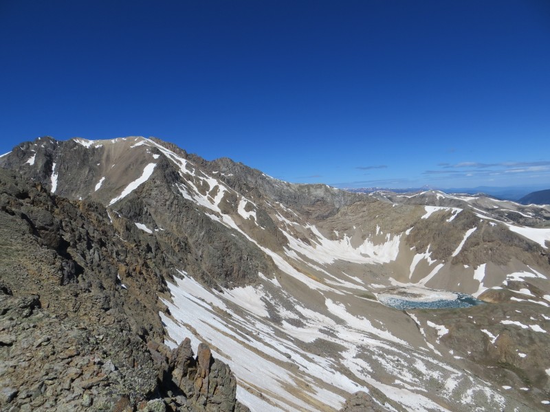
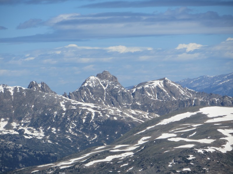
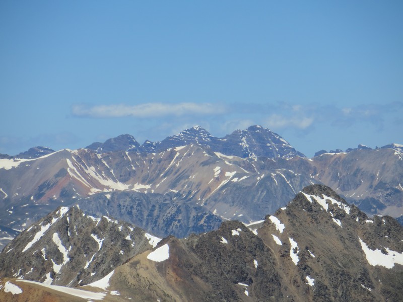
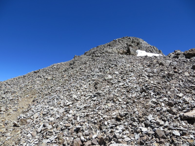
The remaining trip to the summit of Grizzly was simple and I only encountered minimal snow. I arrived on the summit at 11:30am. The Bells Park was strikingly close, offering detailed views of all 7 Elk Range 14ers. I took some time to reflect.
Upper Ridge
A bit of snow
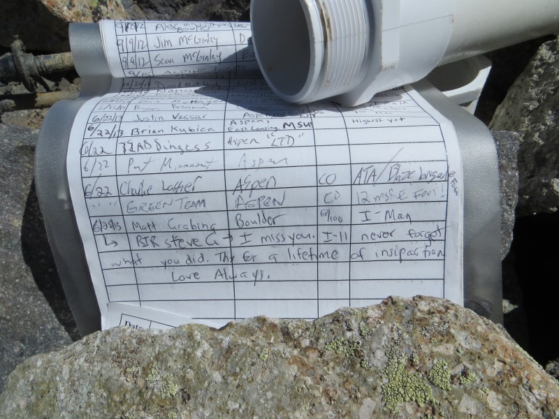
Message written in the summit register.
The Bells Park
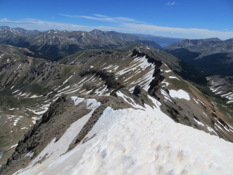
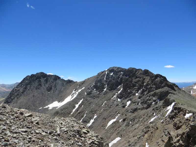
After a quick lunch, I headed down to the Grizzly-Garfield Saddle which had a bit of a climber's trail and was a welcome change of pace from the ascent. I arrived on the saddle after only 10 minutes. The ridge was enjoyable and offered some minor difficulties, but overall was much easier than Grizzly. I arrived on the summit around 12:30pm.
Grizzly from the saddle
Some cool snow on the saddle
Nearing Garfield
Initial view of the traverse
Easy terrain below the summit
The descent was scree skiing and a bit of bushwhacking to get back to the road, and then smooth sailing. I was back at the car at 2:30pm and began the dreaded drive down the "2wd road."
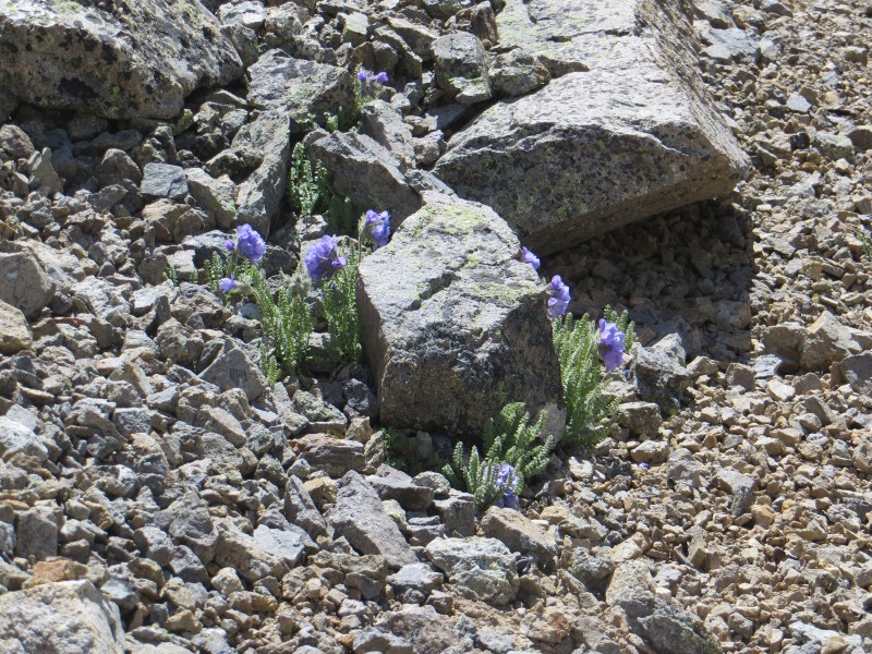
Flowers
Excellent views on the hike out
More views
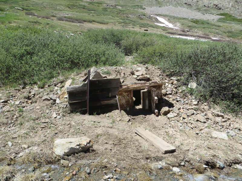
Mines
I recommend this hike to anyone looking for a some solitude and great views in the Sawatch.
Thumbnails for uploaded photos (click to open slideshow):
Thanks for the report, I really enjoyed this hike, too. I thought the scariest part was driving my 2wd vehicle up that road. Def got some rock scrapage!
hauling up skis not necessary until next year :( Nice views indeed
Caution: The information contained in this report may not be accurate and should not be the only resource used in preparation for your climb. Failure to have the necessary experience, physical conditioning, supplies or equipment can result in injury or death. 14ers.com and the author(s) of this report provide no warranties, either express or implied, that the information provided is accurate or reliable. By using the information provided, you agree to indemnify and hold harmless 14ers.com and the report author(s) with respect to any claims and demands against them, including any attorney fees and expenses. Please read the 14ers.com Safety and Disclaimer pages for more information.
Please respect private property: 14ers.com supports the rights of private landowners to determine how and by whom their land will be used. In Colorado, it is your responsibility to determine if land is private and to obtain the appropriate permission before entering the property.