Download Agreement, Release, and Acknowledgement of Risk:
You (the person requesting this file download) fully understand mountain climbing ("Activity") involves risks and dangers of serious bodily injury, including permanent disability, paralysis, and death ("Risks") and you fully accept and assume all such risks and all responsibility for losses, costs, and damages you incur as a result of your participation in this Activity.
You acknowledge that information in the file you have chosen to download may not be accurate and may contain errors. You agree to assume all risks when using this information and agree to release and discharge 14ers.com, 14ers Inc. and the author(s) of such information (collectively, the "Released Parties").
You hereby discharge the Released Parties from all damages, actions, claims and liabilities of any nature, specifically including, but not limited to, damages, actions, claims and liabilities arising from or related to the negligence of the Released Parties. You further agree to indemnify, hold harmless and defend 14ers.com, 14ers Inc. and each of the other Released Parties from and against any loss, damage, liability and expense, including costs and attorney fees, incurred by 14ers.com, 14ers Inc. or any of the other Released Parties as a result of you using information provided on the 14ers.com or 14ers Inc. websites.
You have read this agreement, fully understand its terms and intend it to be a complete and unconditional release of all liability to the greatest extent allowed by law and agree that if any portion of this agreement is held to be invalid the balance, notwithstanding, shall continue in full force and effect.
By clicking "OK" you agree to these terms. If you DO NOT agree, click "Cancel"...
Rpt 5 of 6: Chicago Basin 14ers Part 1 (Sunlight, Windom, goats)
Preceding Report: Rpt 4 of 6: Wetterhorn in August-horn
Aug 12, 2012:
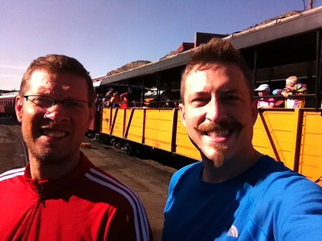
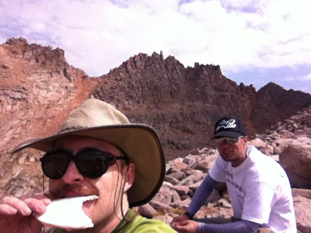
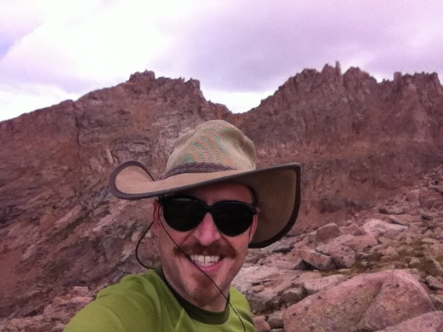
I don't always wear facial hair, but when I do, I prefer Col. Sanders
Utilizing the narrow gauge Durango-Silverton tourist train to get to the Needleton Trailhead was exceedingly amusing. To conserve battery power, I put the camera and phone away. Had I been more confident in the power remaining, I could have shown you that there were more than 30 fellow backpackers...but it only seemed like maybe 15 showed up in Chicago Basin. There are other idyllic side canyons in this watershed -- perhaps the rest went there (or were eaten by Chupacabras)
Wilderness insertion by coal-fired train: check!
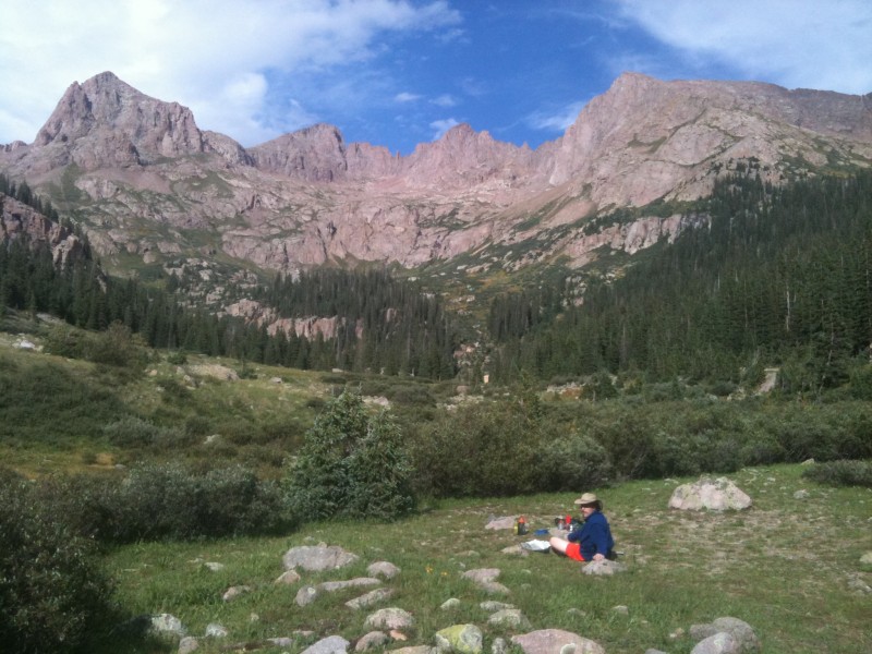
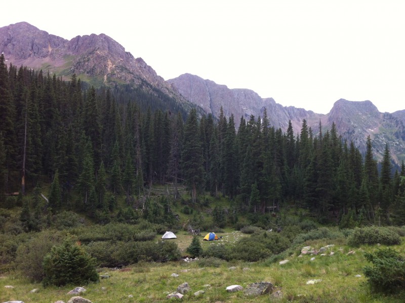
We're both 38 years old, but with a week of 14ers prior to Chicago Basin and a night in real beds in Durango, we apparently were rested, ready and able to outpace everyone off the train over the 6 mile hike in. It's not a race, but given the number of backpackers hopping off the train and an unknown number of people already up in the basin, we were concerned about finding a decent camp site. We needn't have worried - there was an abundance of both creek-side and hidden forest locations to camp. Late-season means there's no more snow feeding Needle Creek, exposing large, flat grassy patches among the willows. This is the best backpack campsite I can remember. Please use a poop-bag and pack it out!
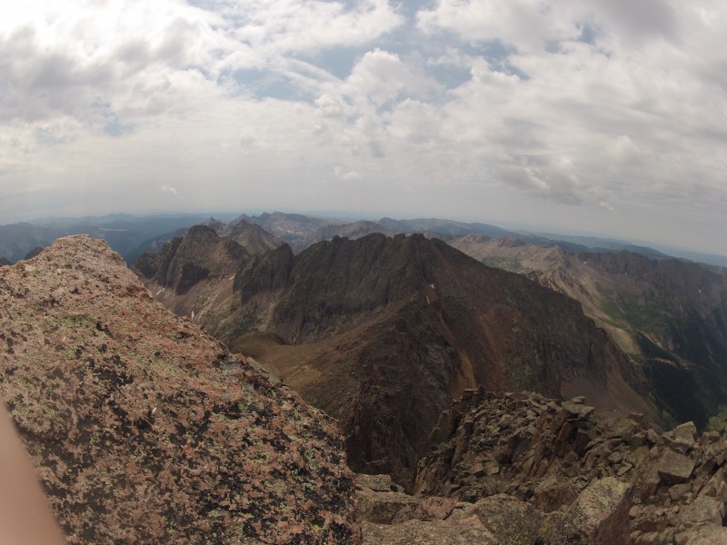
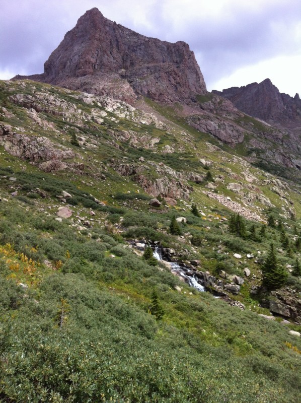
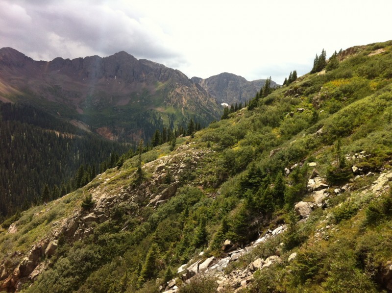
Sunlight Pk is not visible here - hiding behind Pk 18. The Twin Lakes are up the slope you see at the far left -- cannot camp up there.
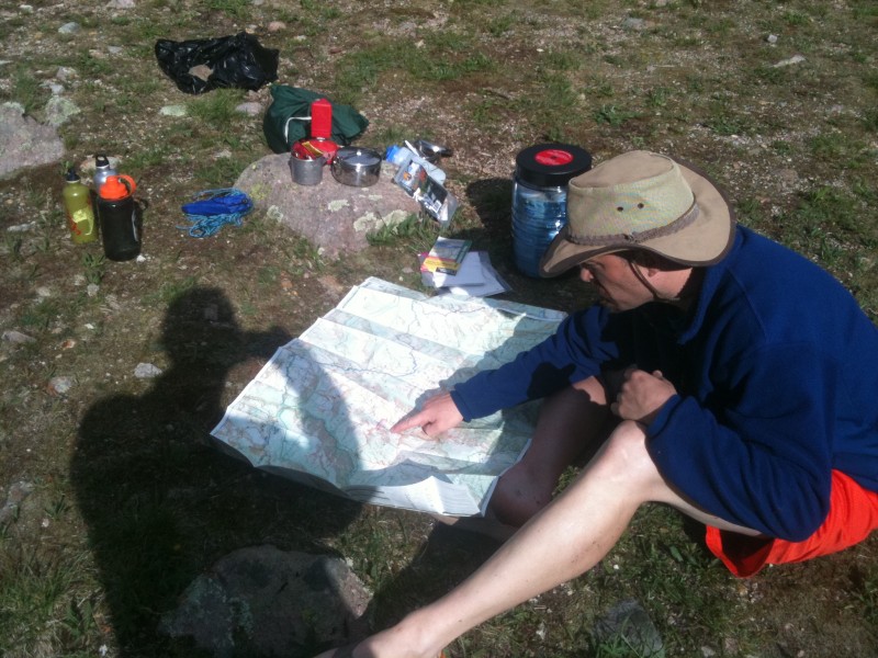
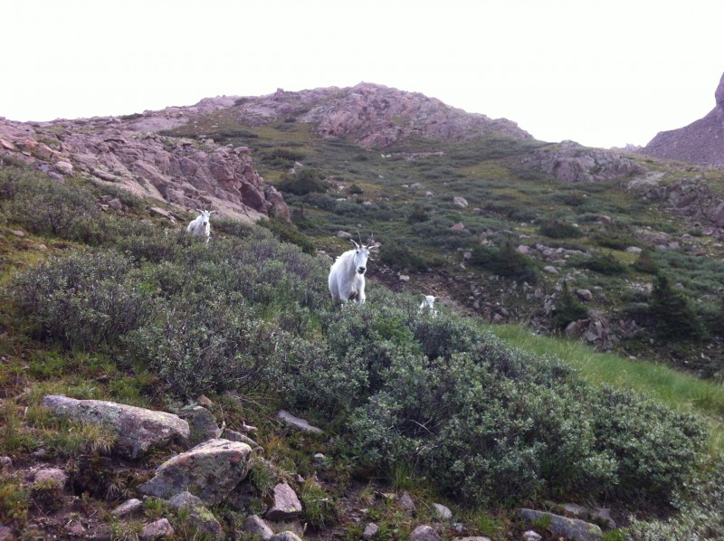
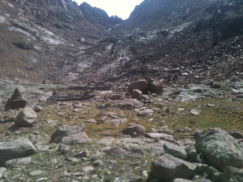
We did not get an early start on Sunlight and Windom. The trail work CFI has done from Needle Creek up the (steep) slope to Twin Lakes is EXTRAORDINARY. I can't imagine the mess of climber's trails and bushwacking through willows that must have predated it. A small cohort of goats was convinced we were stalking them as we switchbacked up to Twin Lakes. They kept moving higher rather than moving right.
Nervous goats
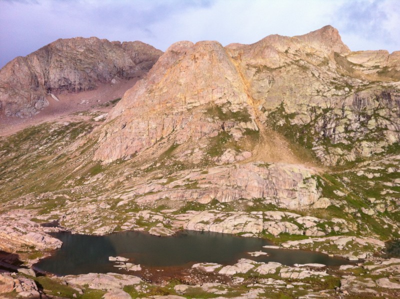
This guy was not part of the clique - just chillin by Twin Lakes. Sunlight Pk (14,059) at left, Sunlight Spire to the right
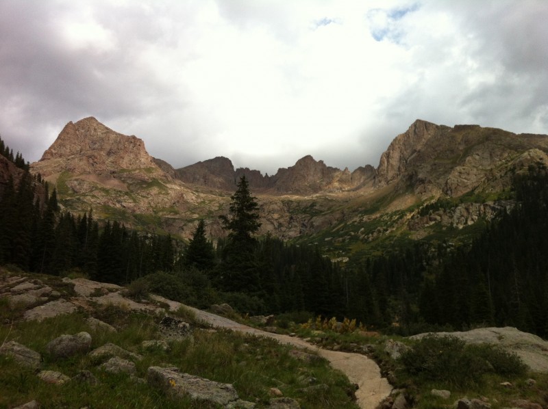
Bypass Twin Lakes counterclockwise to approach Sunlight.
Sunlight Videos
#1 - Begins ABOVE the sandy red slope leading to the ridge pass between Sunlight Pk (14,059) and Sunlight Spire (13,995). The sandy slope is a pain, but not particularly interesting on film. Note - this film is long. Cut to the chase: I end up bailing right below the summit block as rain showers begin and the exposure finally starts to bother me.
#2 - After about a minute to steel myself (during which Will leaps up to the summit), I re-emerge from my "cave", hit the summit and scurry off Sunlight as the rain picks up. Note - this film is also long.
Will was ready to call off Windom, but I had faith that the storms were only a series of parallel rain lines interspersed with clear weather. As there was no evidence of electrical activity (still early in the day), I wanted to continue. I turned out to be right (this time). A well-timed stretch of clear skies at the basin between Sunlight and Windom convinced Will to give it a go.
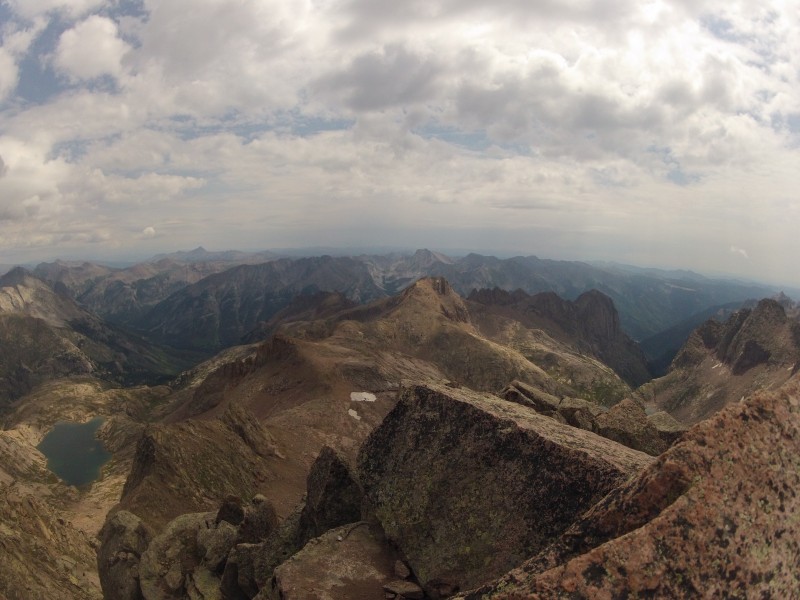
Twin Lakes. Mt. Elous (14,083) is background left of center. What appears highest is Glacier Pt (13,704). N. Eolus is hidd
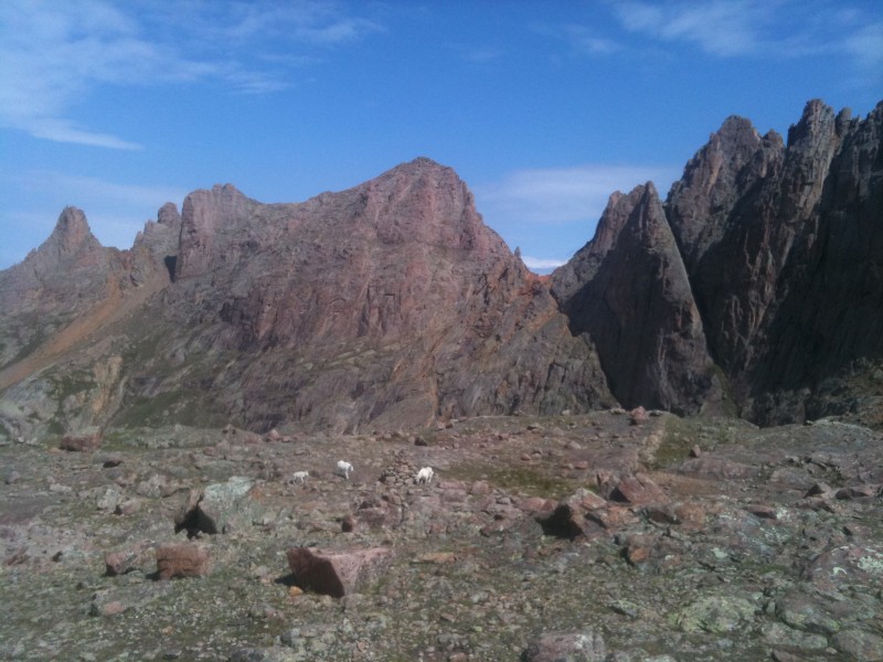
Goats and massive cairn. Sunlight is FAR left (note the red sand) the gap right of center is NOT the route
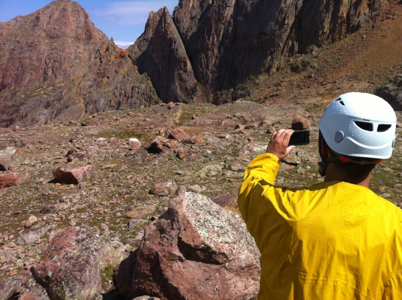
My photo of Will taking the previous photo ;-). Note the red-blue shift (or don't -- I thought it was interesting)
Goat in front of the gap between the Sunlight massif and Windom's northern flank
Ascending Windom is an exercise in bouldering -- lots of ceramic clanking, shifting stones, and several routes which appear and disappear as you go up. Minimal exposure, but a great place to snap an ankle. The next break in weather occurred on the West ridge of Windom. Lunchtime! Our time on top would be short. I'm not certain which part of the Sunlight massif is in the background - it may well be the red sand up to Sunlight Pk (left side)
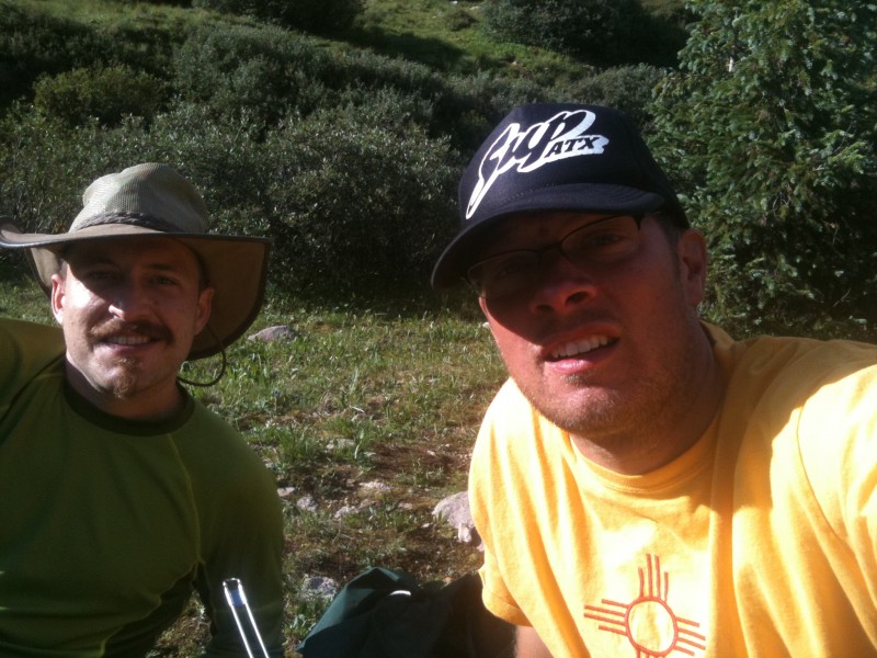
Tortillas, peanut butter & honey, bi$%&es!
Successive small rain showers kept washing over us.
Ascending Windom: View of Sunlight Pk and Sunlight spire. Sand slope between them is clear
Windom's summit is a curious assortment of square blocks arranged like tables with several natural "chairs" in which to sit.
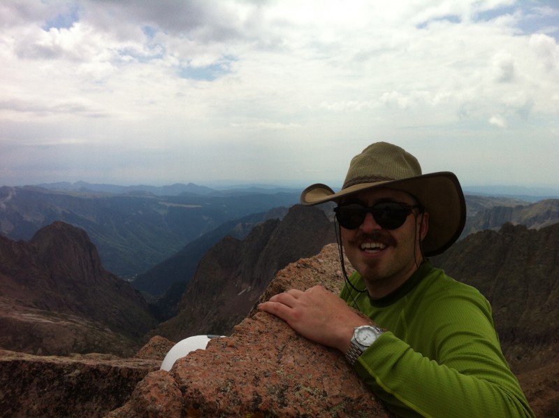
Windom Pk (14,082) summit looking SE
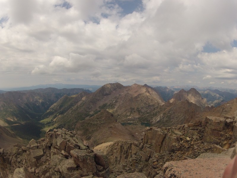
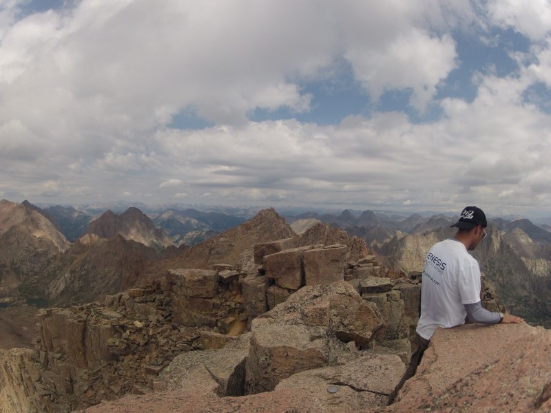
Mt. Eolus (14,083) and N. Eolus (14,039) from summit of Windom (14,082). Twin Lakes in center of photo
Jupiter Mtn (13,830) from Windom (14,039)...mmm, very interesting...
View E/NE of Windom's Summit
We didn't stay long, however. Better to get off the mountain and consider yourselves lucky that the weather hadn't (yet) organized itself into anything dangerous rather than push your luck and dare the weather to a deul.
Will is outta here...
I ain't afraid of no rain - Will descending Windom
Windom descent video (uncut- long)
My old hat had been especially jaunty this day. Anyone remember the old Tampa Bay Buccaneers logo? Yeah, that guy...
A Mountain Oddity - the Pissing Rock (video - short)
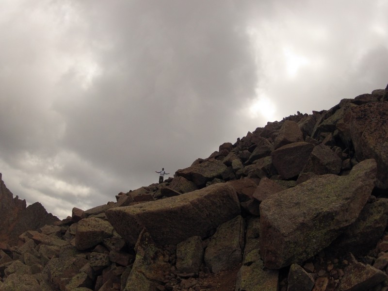
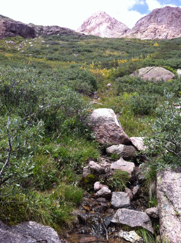
Tundra photos below Twin Lakes
Home Sweet Home
Dinner was pleasant...mostly.
The bipolar weather continued and gave us a brief hailstorm while the sun continued to shine from the west.
Subsequent Report: Rpt 6 of 6: Chicago Basin 14ers Part 2 (N. Eolus, Eolus, more goats)
Thumbnails for uploaded photos (click to open slideshow):
Nice photos! Have you climbed Capitol? How was the exposure on Sunlight? I'm planning this trip for 4th of July weekend - any insight would be appreciated :)
Capitol is on my 2014 list. As for Sunlight, check my video (particularly the #2 descent video).
I did not find it particularly frightening, but everyone is different and in fairness, I was more focused on the changing weather than the exposre at that point in time. Also, I had just come from Wetterhorn which I think has a more sheer feeling to it than does the Sunlight ascent.
As for Sunlight's summit block itself, yeah, that's freaky because you have to make one move where you're exposed in almost every direction WITHOUT a safe hand-hold or fallback. And then you have too figure out how to reverse it on the way down (controlled fall). But that's literally the top 20 feet or so -- the rest of the way I would say that there's tricky footing, but in most places you are unlikely to fall a great distance and where you do face some sheer exposure on one side of the ridge, you generally have a safer-fall to the other side, so you can bias in that direction.
Thanks so much - successfully made it to the top of the summit block and back down. I'd imagined a more difficult situation going into it, wasn't too bad in reality. Definitely more of a mental challenge. Happy climbing!
Caution: The information contained in this report may not be accurate and should not be the only resource used in preparation for your climb. Failure to have the necessary experience, physical conditioning, supplies or equipment can result in injury or death. 14ers.com and the author(s) of this report provide no warranties, either express or implied, that the information provided is accurate or reliable. By using the information provided, you agree to indemnify and hold harmless 14ers.com and the report author(s) with respect to any claims and demands against them, including any attorney fees and expenses. Please read the 14ers.com Safety and Disclaimer pages for more information.
Please respect private property: 14ers.com supports the rights of private landowners to determine how and by whom their land will be used. In Colorado, it is your responsibility to determine if land is private and to obtain the appropriate permission before entering the property.