Handies Peak in Winter: Boulder Gulch
Date: March 15, 2013
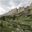
Approach: Boulder Gulch from Cataract TH
Length: ~11 miles RT
Vertical: ~4500 feet
Ascent Party: Dancesatmoonrise, Mtn_nut

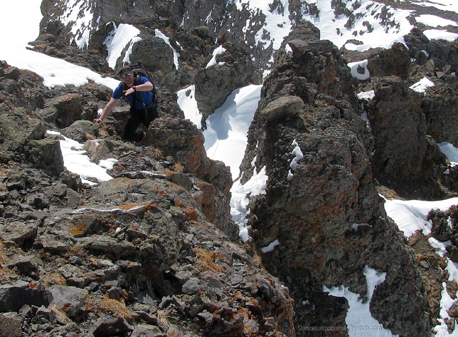
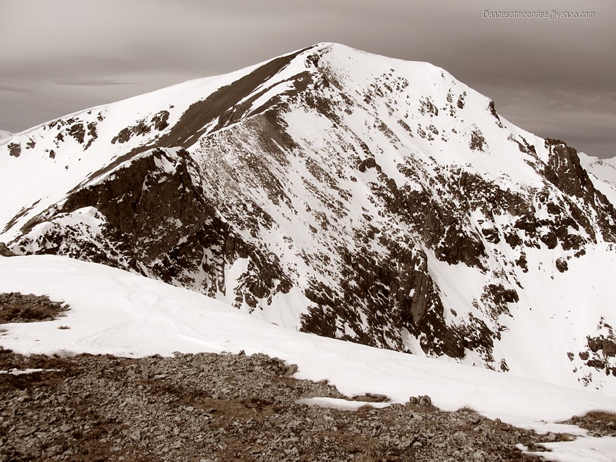
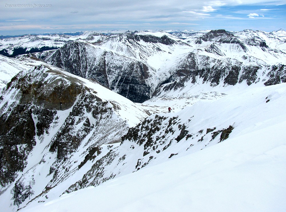
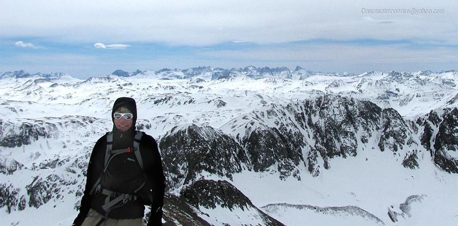
Nearing the summit of Handies Peak.
The winter of 2012-13 has been tough for those attempting high peaks, due to the lengthy period of increased avalanche danger extending nearly
to the end of the season. Finally, right down to the wire, the last week of winter warms up enough to consolidate the snowpack, giving us a much
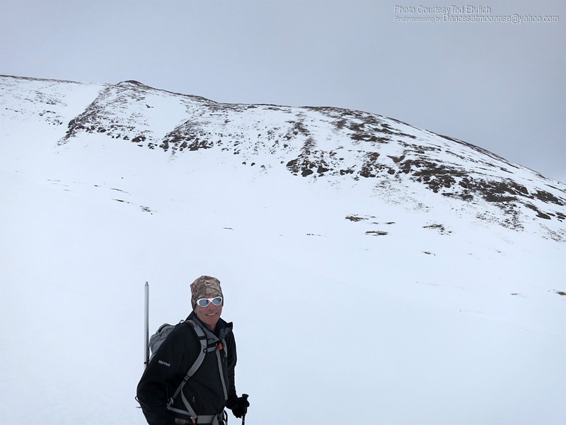
welcome improvement in conditions. After snagging Sneffels solo on Thursday, I meet Ted in the Cataract Gulch parking lot Thursday evening for a
Friday morning attempt on Handies.
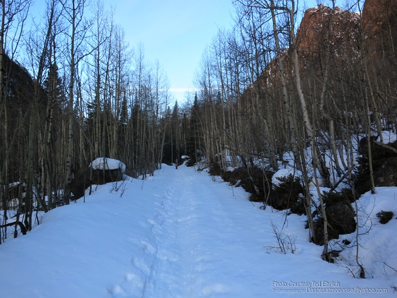
The road to the gulch is fairly flat.
Upper road area.
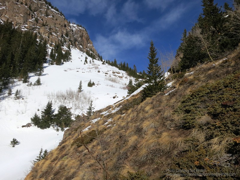
Boulder Gulch is not without potential avalanche danger. There are two other possible routes, ridge routes, to gain Handies in winter. As they are
longer, and we did not know whether either was completely passable, we chose to give Boulder Gulch a shot.
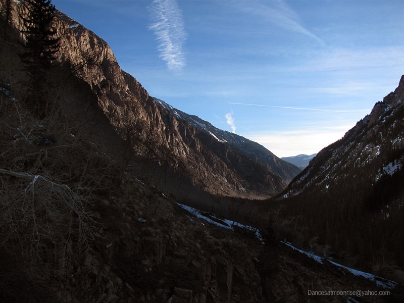
Looking east, back toward the Cataract Gulch TH.
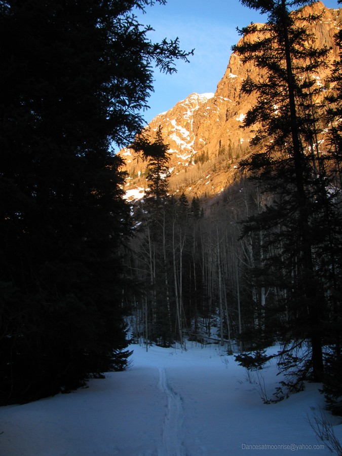
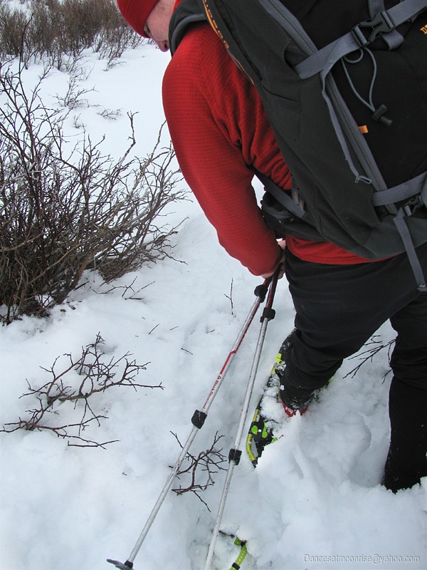
Finding the correct drainage can be tricky. Ted attempted the route earlier this year, so my job today is easy - just follow Ted's Guide Service.
Identifying the correct drainage, the left side looks better initially, but after perhaps 50-100 yards, we cross over to the right side and enjoy bare
ground for a while.
Brown Ground.
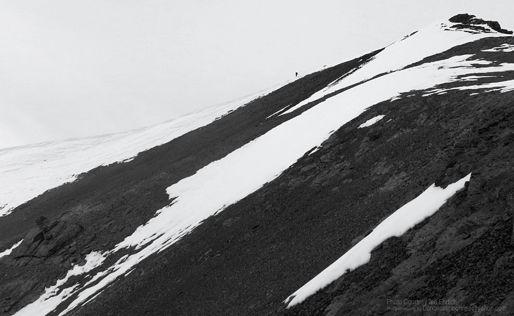
You can see our ridge peeking out from beyond the upper gully.
Higher in the gully, the mid-morning sun is on broil. Concerns arise about the return back through this area this afternoon, and the potential for wet,
loose slides. Wishing I'd brought a short-sleeve shirt, I shed the insulating layers and just wear the shell. The warmth is too much of a good thing.
We have some ideas about alternate routes on the return, if necessary.
The gully is a bit of a pain, breaking through in many spots, but the terrain does not lend itself well to climbing on either side of the central drainage.
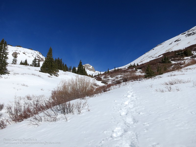
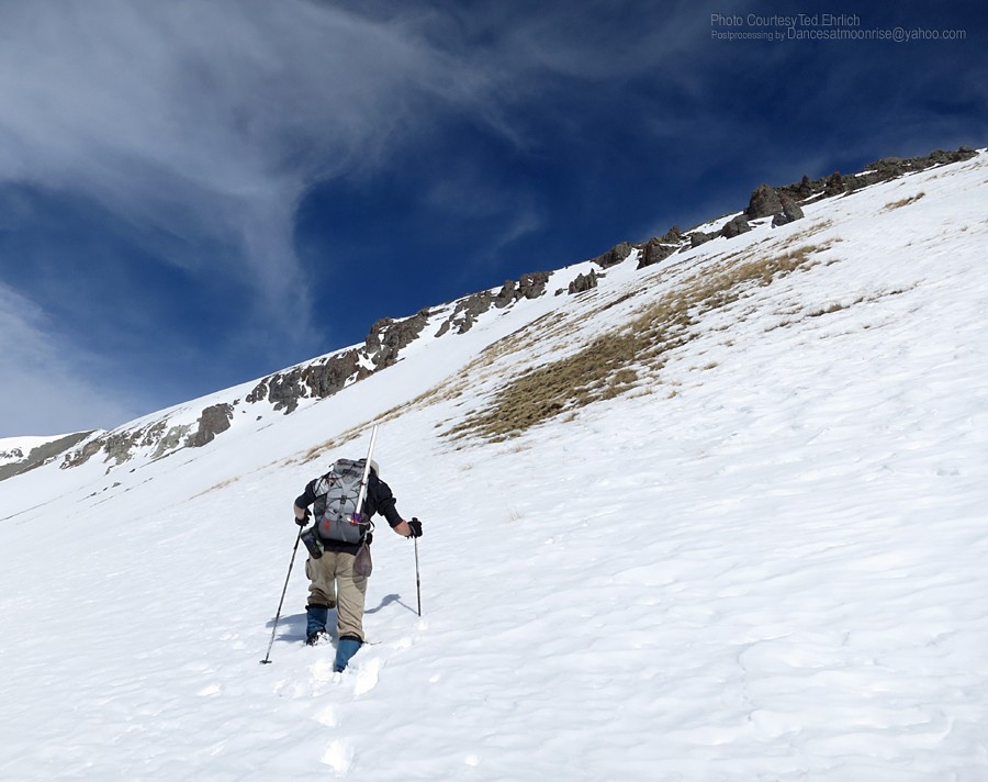
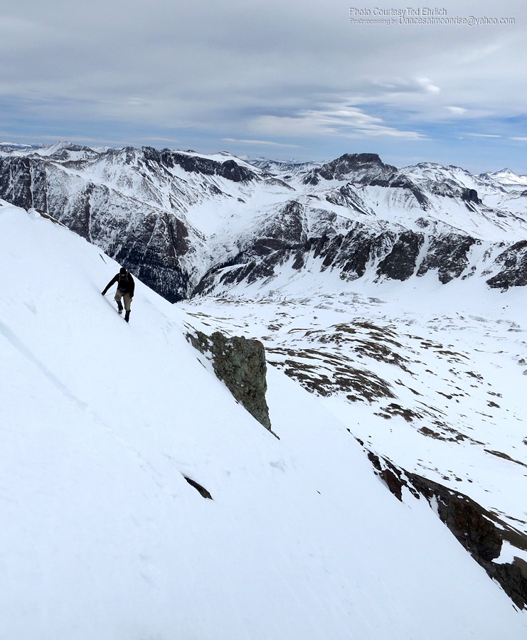
Soon we are gazing at the upper alpine and the climb that will get us on the ridge system to the summit. I'm surprised to find snow cover on the
lower ridge, but moving left, the SW aspect is more sparse.
Upper gully.
Finally above Boulder Gulch.
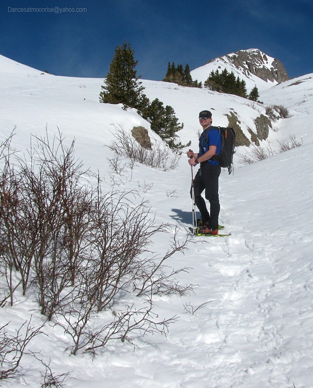
Starting up the ridge.
Looking south across the valley.
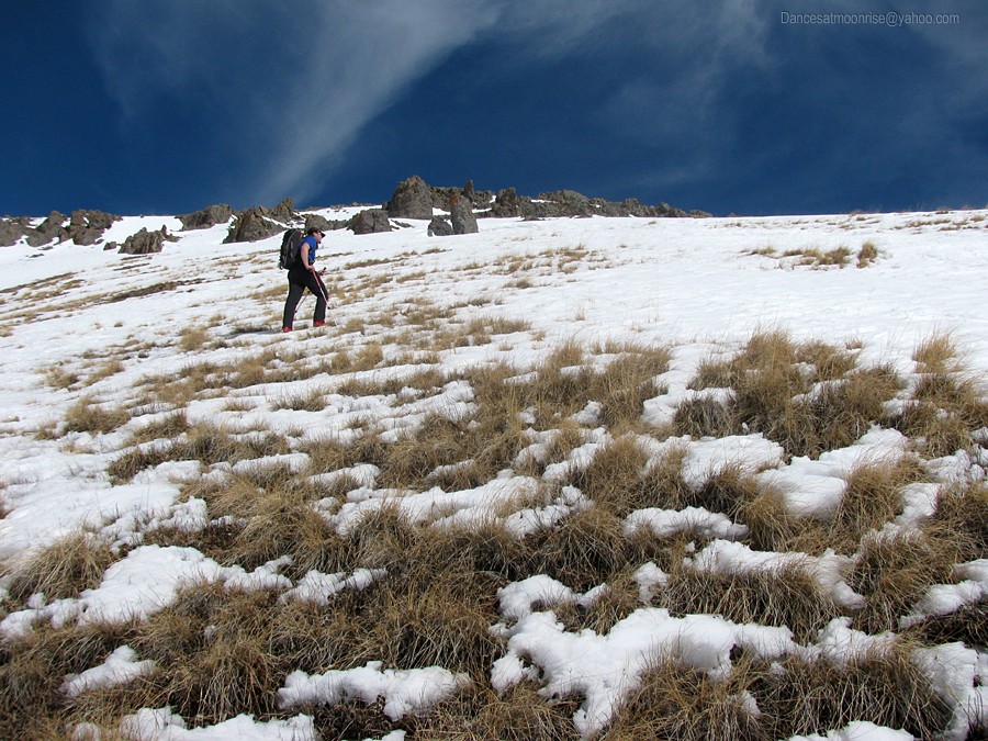
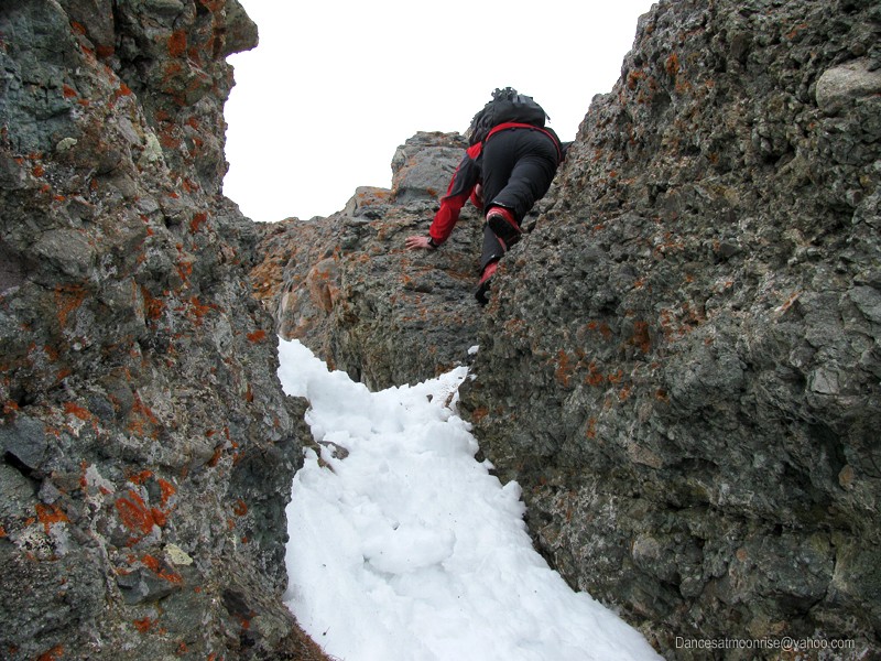
About to enter the hoo-doos.
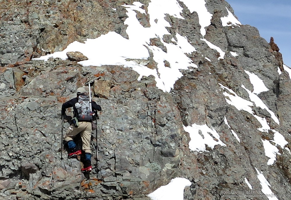
The third-class terrain is brief and enjoyable.
Ted.
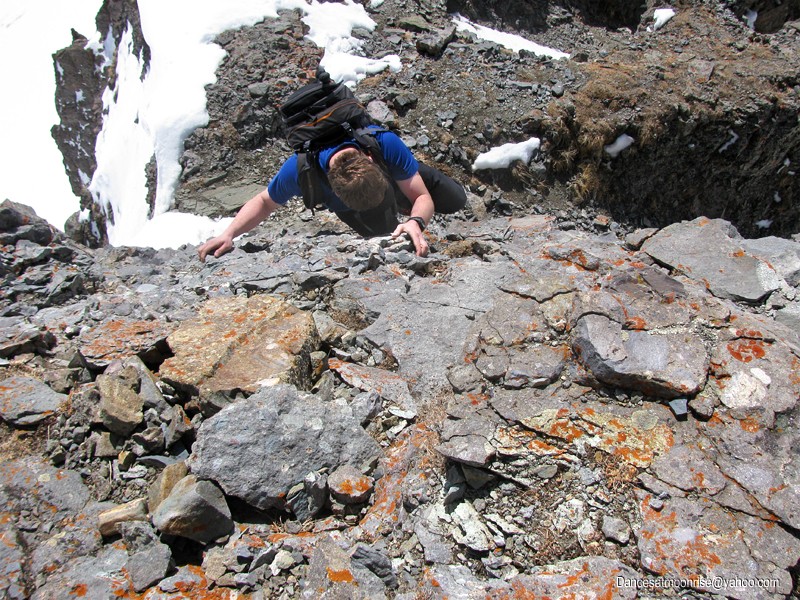
Looks harder than it is.
Our Blessed Chicago Basin Group.
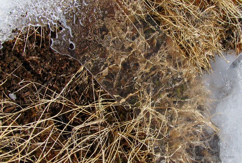
Icy windows over alpine grasses.
Getting closer.
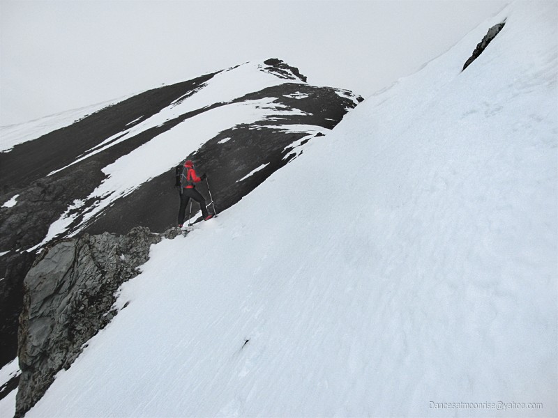
Our fears of wet release are cooled by gathering clouds, and finally borne aloft altogether by high winds. The gusts become intense.
Ted weighs 25% more than I; he seems to be sticking to the ground better. I'm getting tossed around, so we back off from the ridge top for
grizzly fear of being blown to Grizzly Gulch, far below. We stay on the windward side, mostly because the lee is steeper, looser, and in places,
untenable. This works well for most of the ridge, until we encounter some moderate snow loading and a shallow cornice above.
Against the wind.
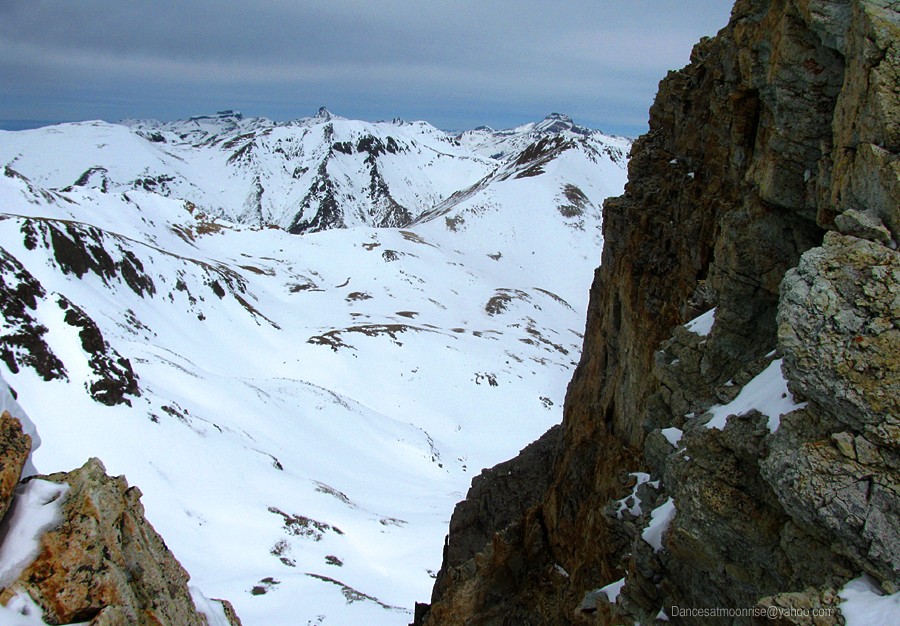
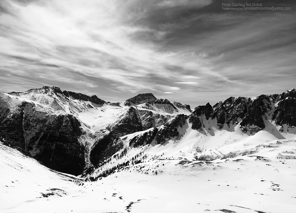
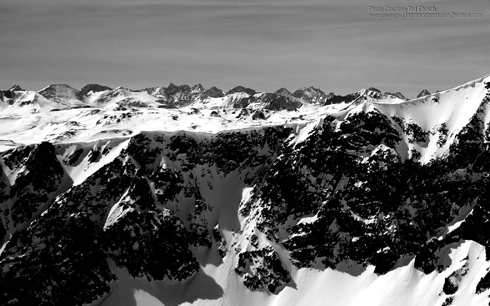
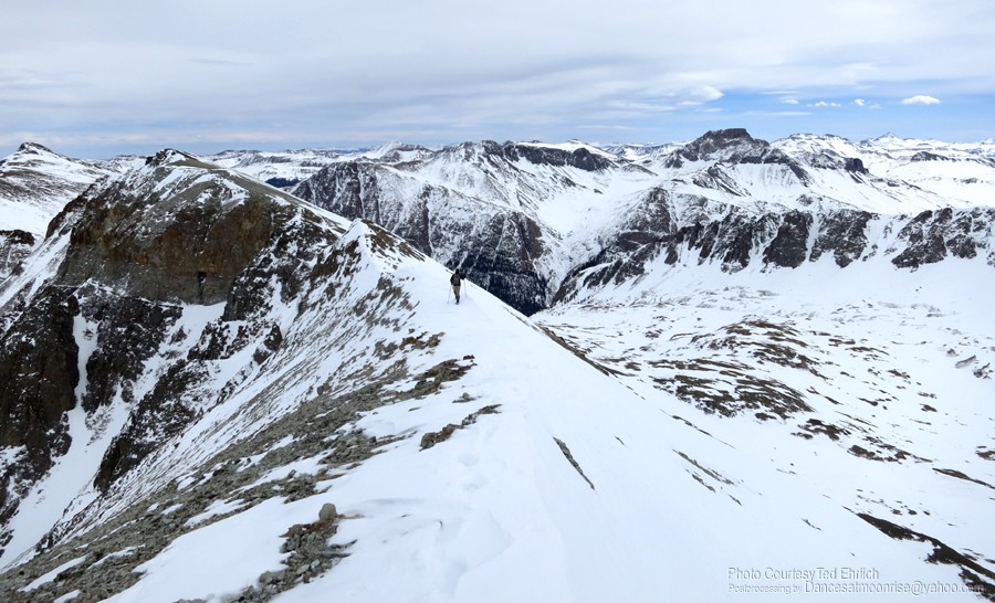
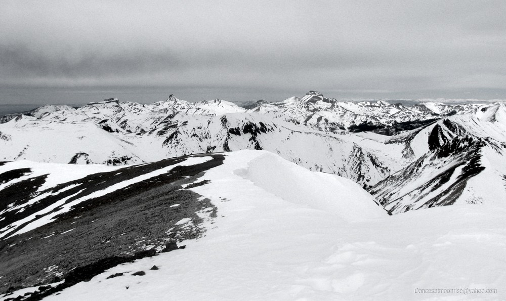
The intermittent foray to the ridge top between gusts reveals delightful views of Coxcomb, Wetterhorn and Uncompahgre.
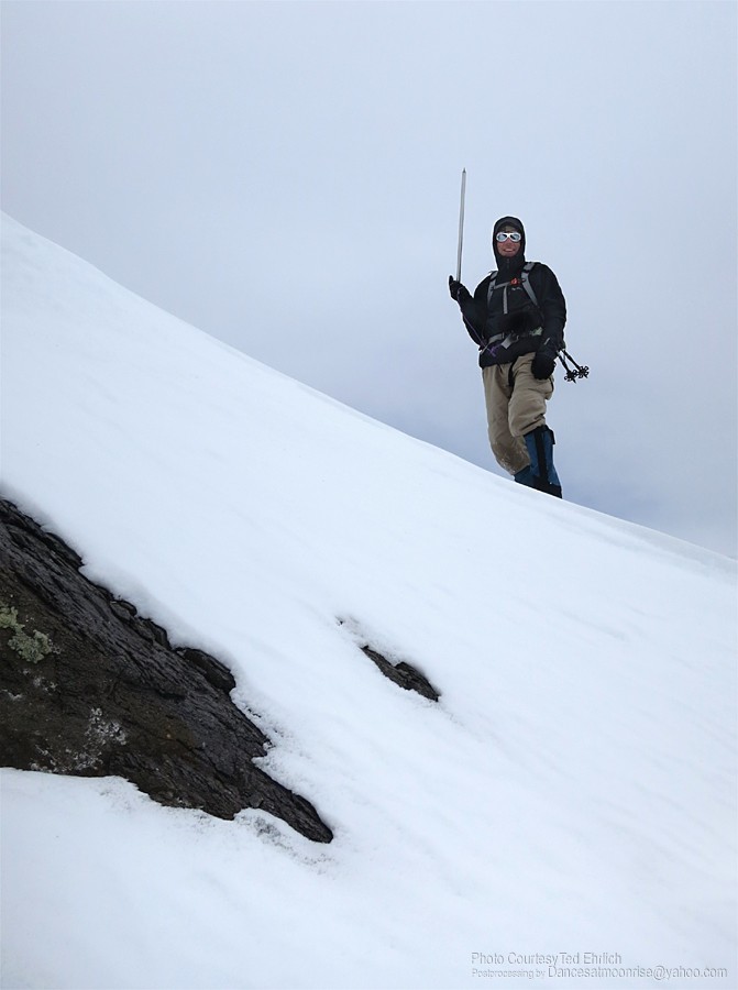
Ted likes crampons and poles for this stuff.
I'm more comfortable with an axe in the snow.
The slope gets a little steeper but the gusts back off. We're thinking it's time to explore the ridge top, which is now only about ten feet above.
We find the ridge more or less dry, and wide enough to be safe in the wind gusts.
Amateur meteorologist assessing electrical co-efficient.
Ted's turn.
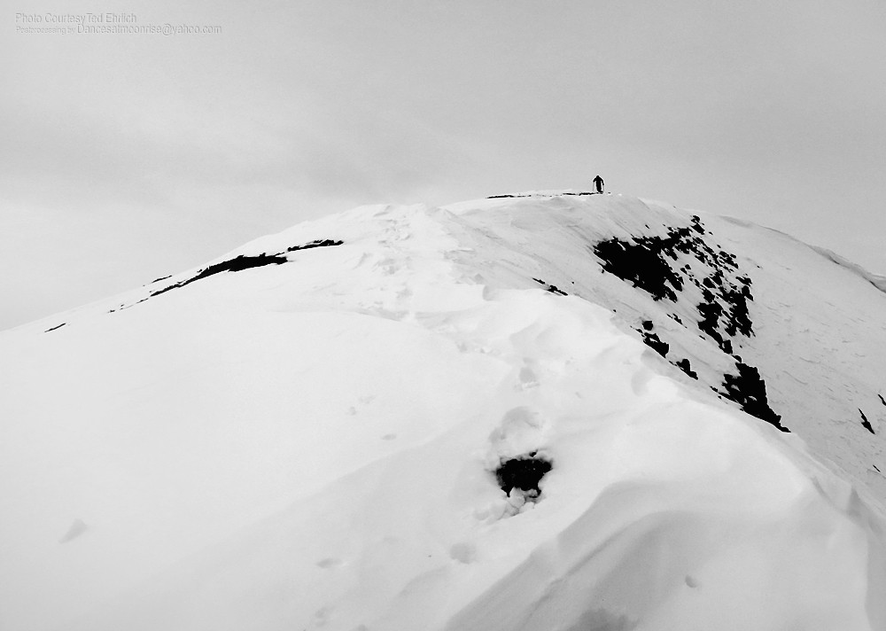
Summit fever, fanned by the breezes.
Ted finishing up the ridge.
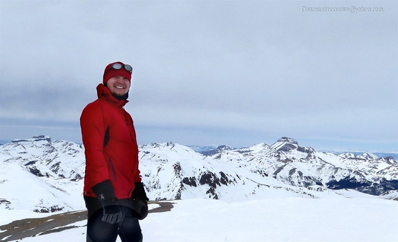
Happy Birthday, old man!
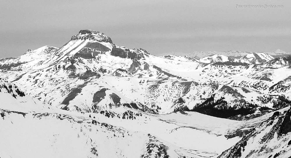
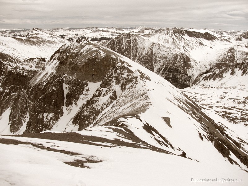
We keep seeing this thing all winter.
Quarry for the morrow?
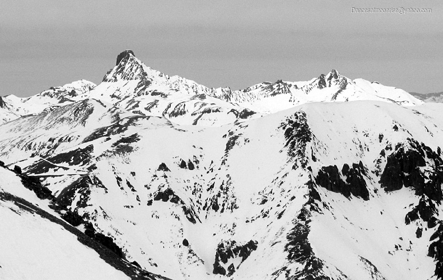
Some tourist came by and nearly ruined my shot of some great peaks: Chicago Basin group, Vestal, Arrow, and Pigeon - behind and just left of American Peak.
Finally, the winds have mellowed. But to Ted's dismay, I'm in a hurry to get moving before Zephyrus changes his mind about the whole deal.
The car is down in one of those holes out there.
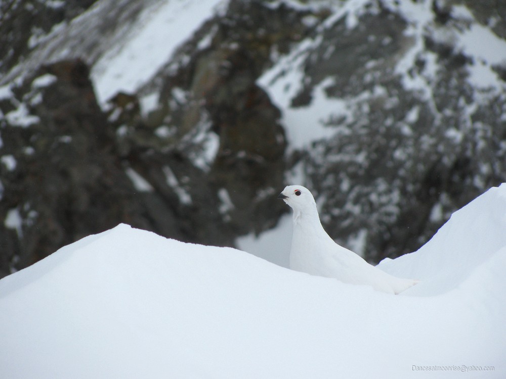
Winter comrade.
According to some quick internet research, "The White-tailed Ptarmigan is the only bird in North America to reside permanently in the alpine zone."
Butt-shots are always classy in a mountaineering trip report.
Light weight: It's not so good in wind. But better on crappy wet snow.
Right, Ted?
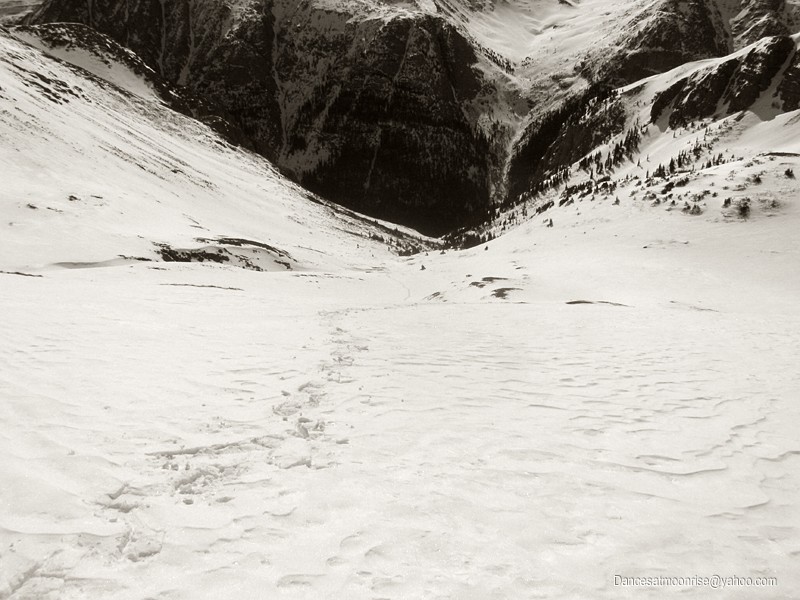
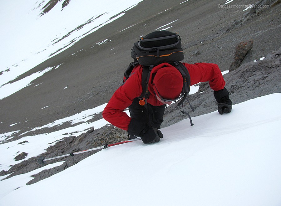
Fortunately, manky plans for an alternate descent are not needed: cold winds and heavy cloud cover have cooled things way down. But we're still
busting through in the gully, and barely escape submersion in the river of snowmelt we can hear beneath us. Ted proves to be excellent ballast for
this excursion, cheerfully bombing the surface with each stride, as I follow, tiptoeing between excavations.
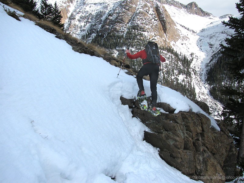
But Ted's favorite part is the rock climbing in snowshoes:
Finally at the road with narry a whoomph nor a roller-ball, we now find moving through the hot, flat snow is like trying to climb out of a huge bowl of
mashed potatoes. But it's joy enough for being out of danger, another winter peak in the bag, and beers at the car. Come to think of it, there's a
lot to be thankful for. Ted stops to put on skis. He sends me along: we both know he'll be buzzing by any moment. Moments grow to minutes, which
grow to what - an hour or two? At the car I've got beer, food, and an hour till dark to wait on my comrade. The hour goes by quickly, and no Ted.
I'm sure it's a ski malfunction. The old "let's try mountaineering boots with skis" experiment. I've lived through several incarnations of this experiment
with other partners. Fortunately nothing first-hand.
Well, enough procrastination, time to put together an emergency pack and see if the legs still work. Wait, what's this? Salvation, it's Ted, just in time!
Happy 26th, old man, and here's a beer for your successful Handies summit on B-day!!
We chat for a bit at the TH. For various and separate reasons, we decide to forgo a Wetterhorn/Uncompahgre attempt tomorrow. For my part, I've
got this rolling mess on wheels here, that I'd like to get organized and regrouped before heading back out for perhaps one last peak on the final day
of winter. We bid farewell; Ted to a comfy bed in Lake City, Jim to a long, mellow drive back to the Front.
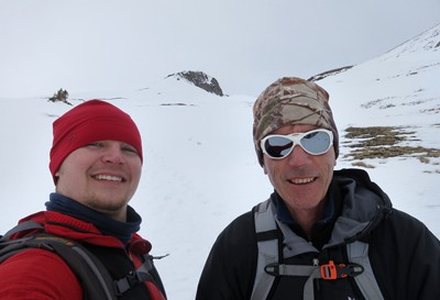
Happy geeks on a winter peak.
To be continued...
.
|