Mt. Sneffels in Winter:
East Ridge Direct via Lavender Couloir
Date: March 14, 2013
Approach: Yankee Boy Basin from Revenue Mine
Length: ~8 miles RT
Vertical: ~3700 feet
Ascent Party: Dancesatmoonrise
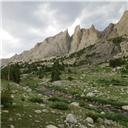
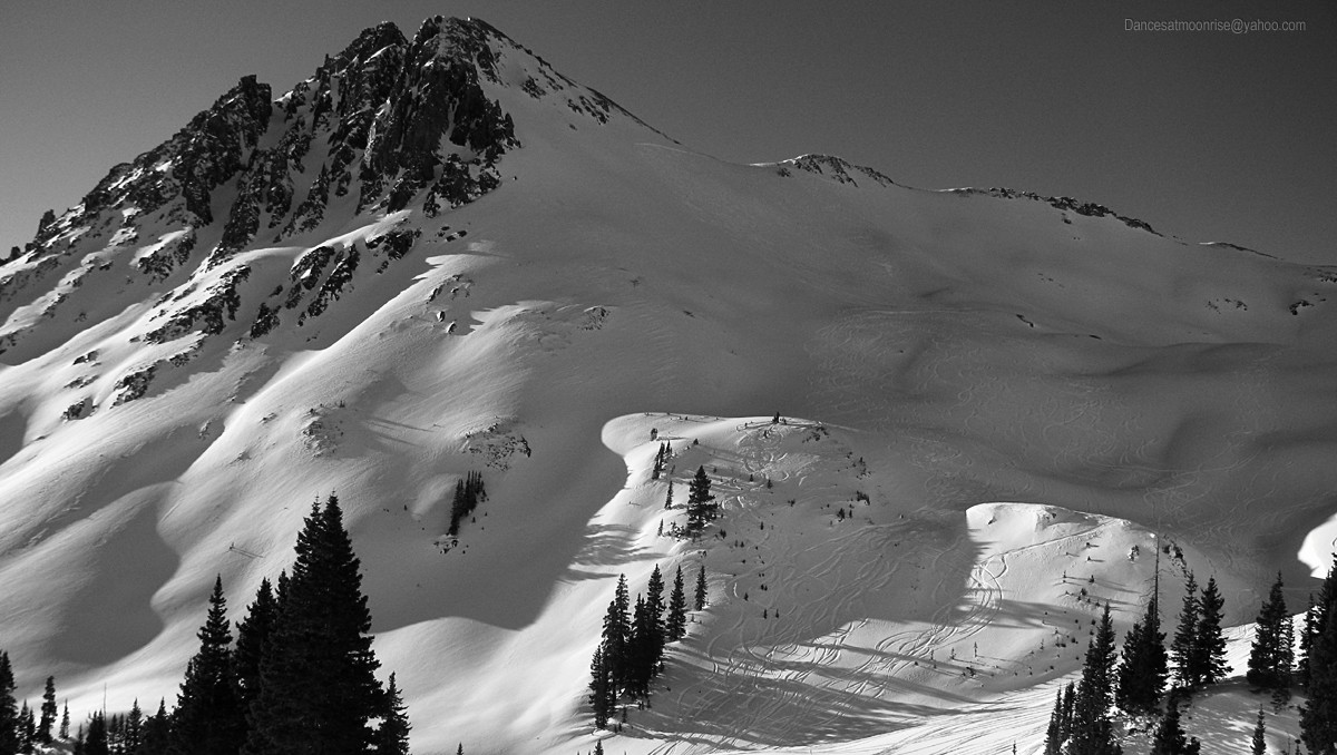
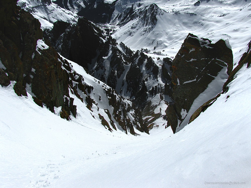
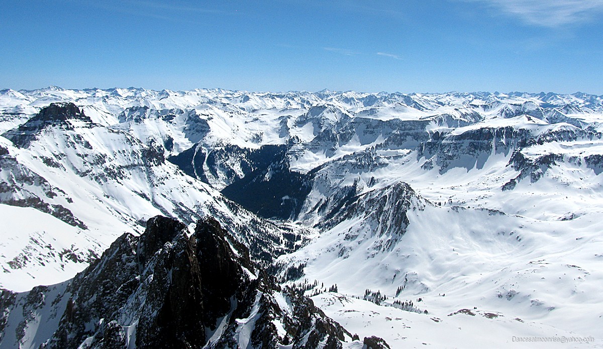
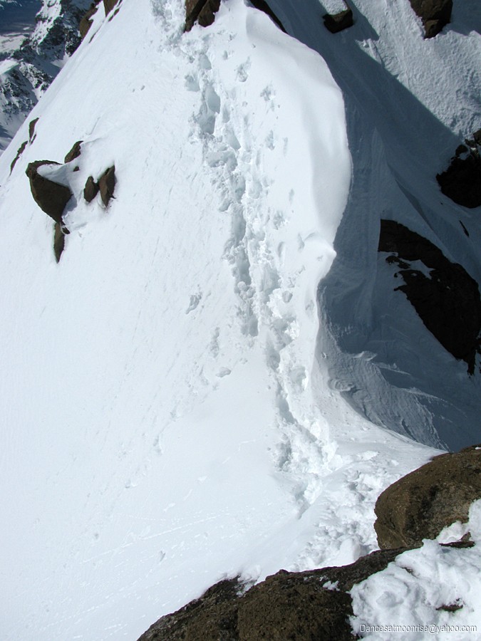
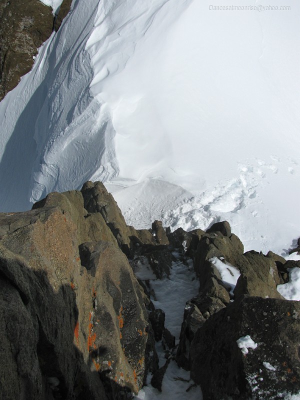
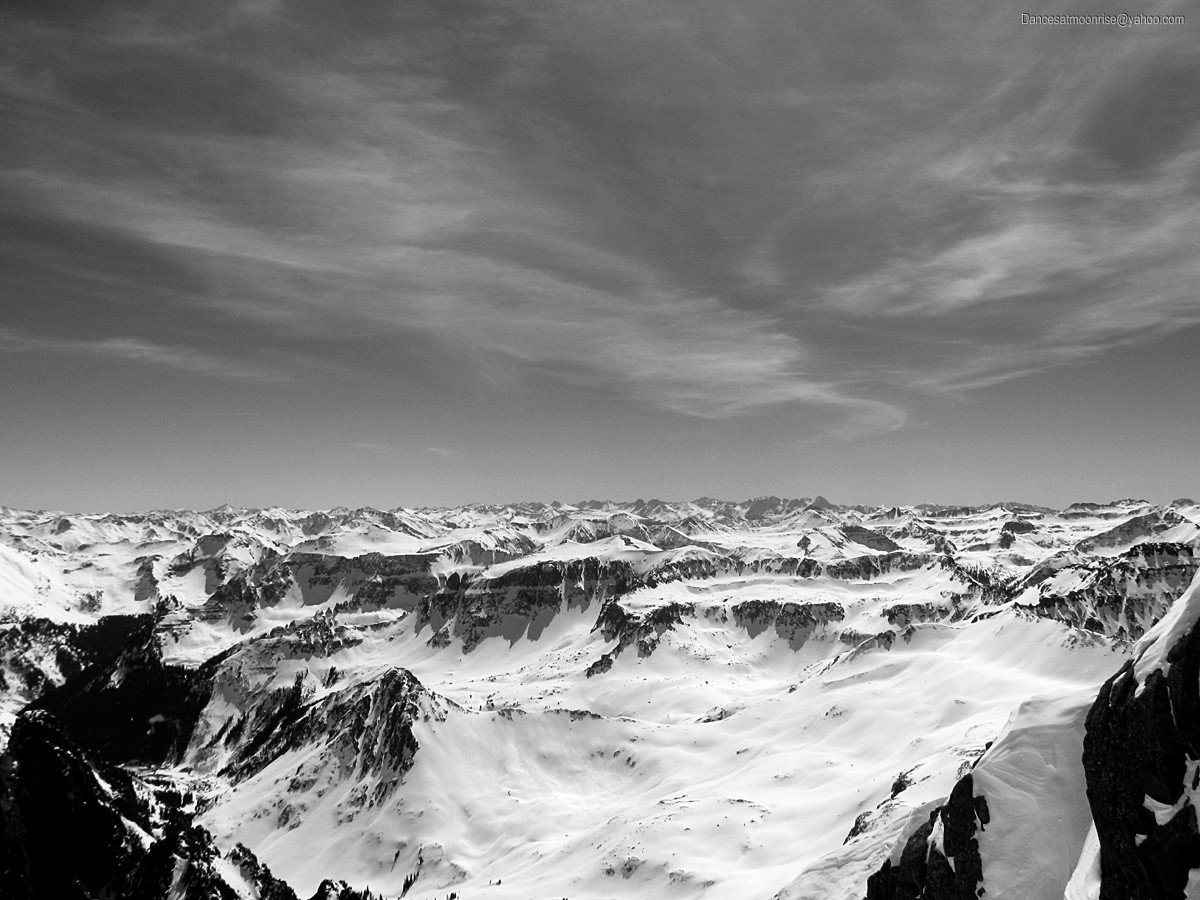
Looking back to the summit of Mt. Sneffels from near the top of the East Ridge.
Mt. Sneffels' East Ridge is short, but sweet. In summer it makes a nice rock scramble. In winter, the start out of the top of the Lavender Couloir
presents an interesting mixed line.
On Thursday, March 14, 2013, the second day of a high pressure warming trend would bring some of the warmest winter temps seen to date. An
early start would be helpful to get off the mountain before the potential development of wet slides. Making the mistake of staying in the car on the
Camp Bird road (CR361) I didn't get much sleep. The mine traffic actually runs, if sparsely, most of the night. One might have guessed this. The
saving grace was finding the gate open in the morning, which knocked off three miles one way, helping make up for an otherwise late start.
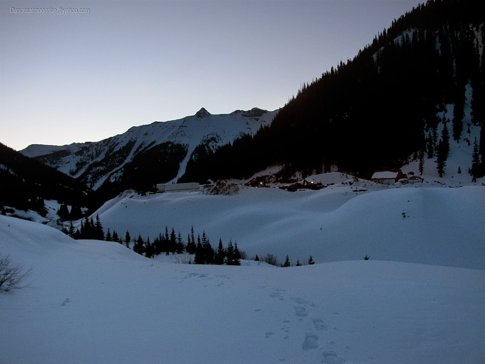
Revenue Mine in full swing at first light.
Breaking trail not too tough.
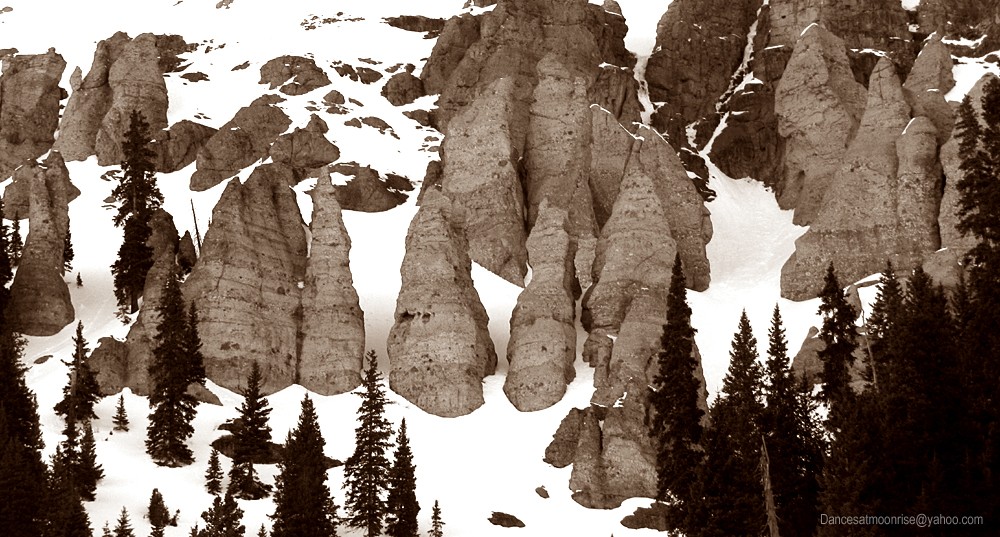
Good Morning little Hoodoo.
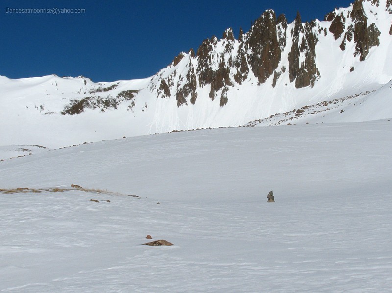
Looking back down the basin.
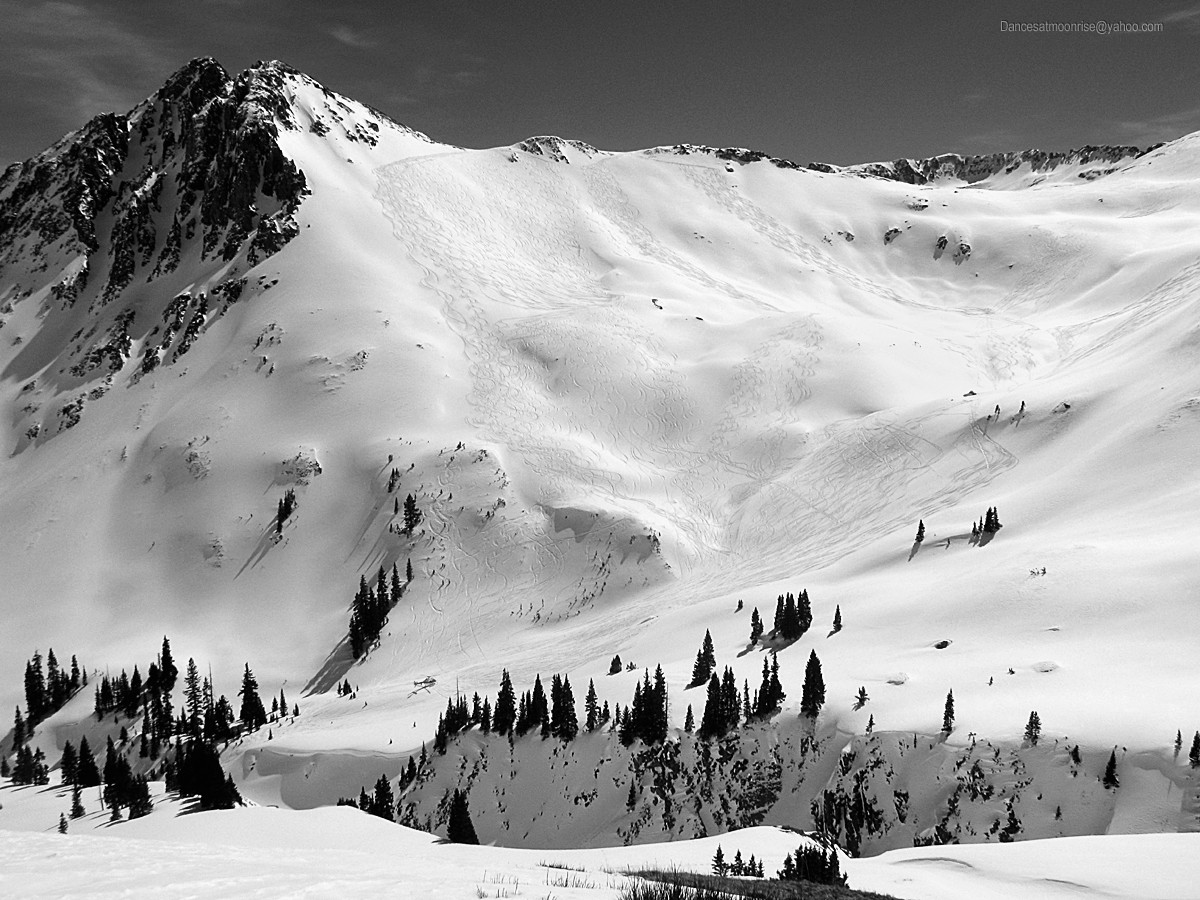
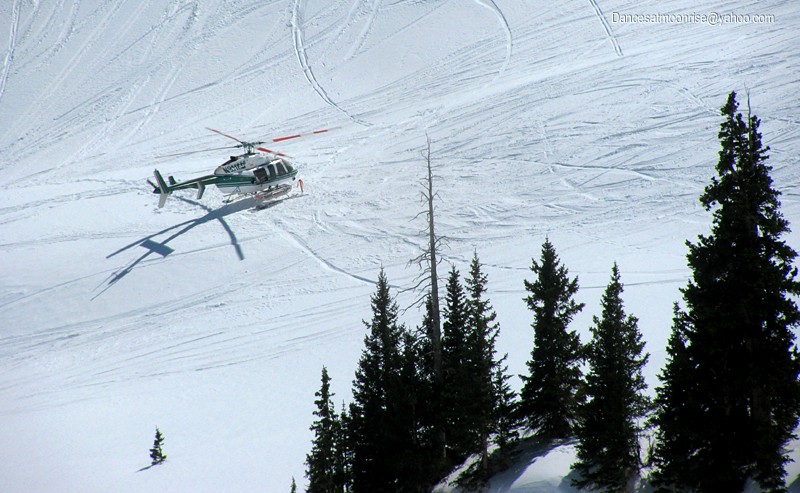
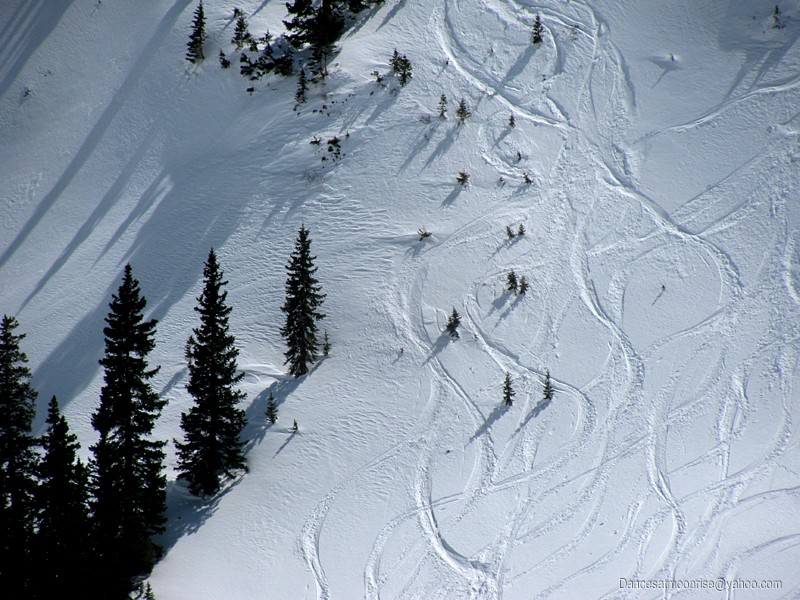
Stony Mountain: The heli-skiers apparently feel north and east aspects are stable.
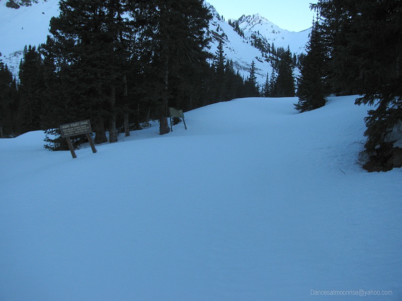
Pretty much high clearance from here on out.
Almost downtown.
Wall street, Colorado.
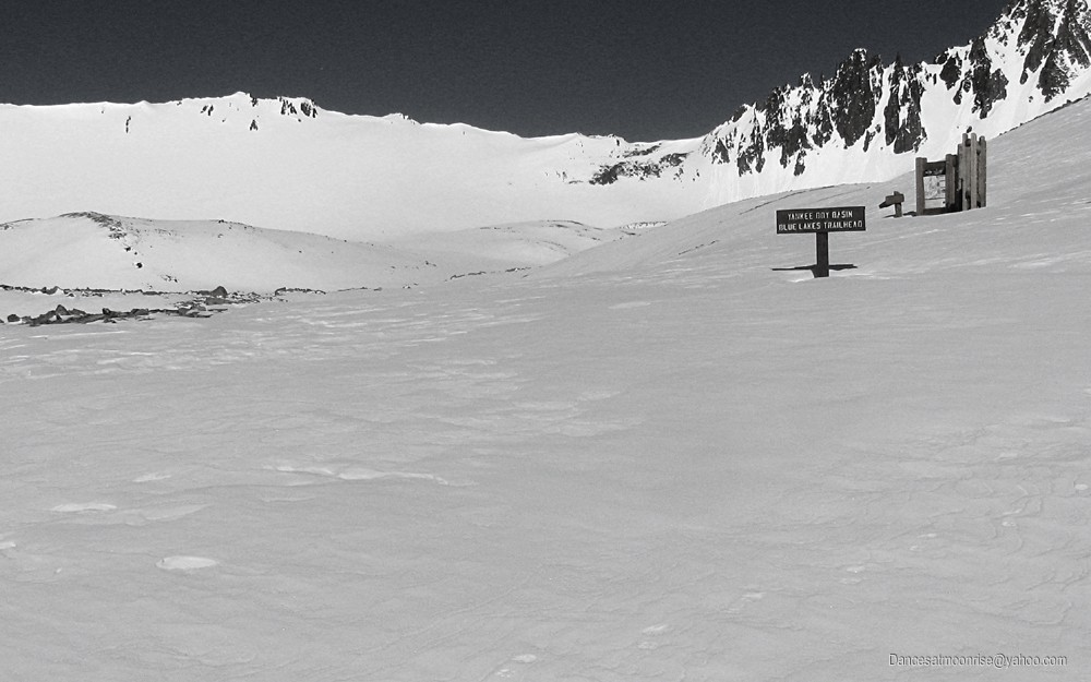
Lucky there's street signs.
That's the nice thing about 14ers. They have cairns to follow so you never get lost.
Flirtatious.
I'm sure all this happened yesterday. ("Roller balls and a wet snow surface are good indications that wet slides are imminent." -CAIC, North San Juan Zone forecast, 3-14-13.)
Careful where you step.
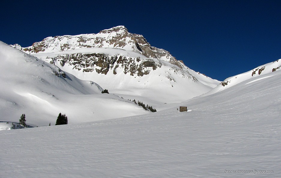
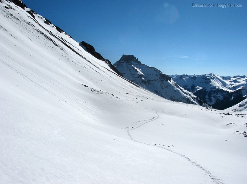
Blue Lakes Pass down there.
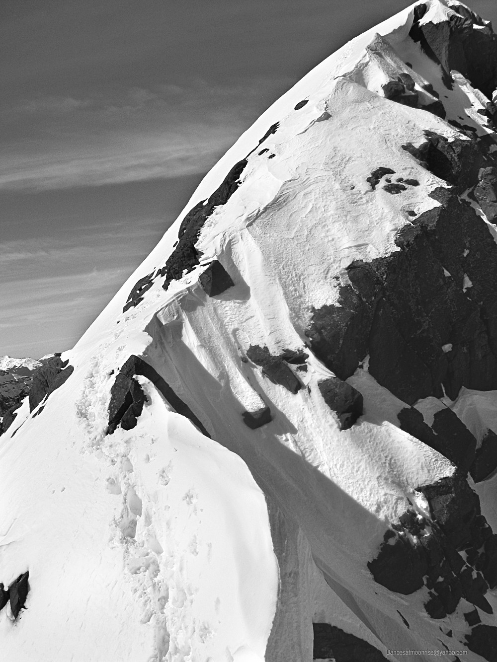
Lavender couloir up there. (Top center.)
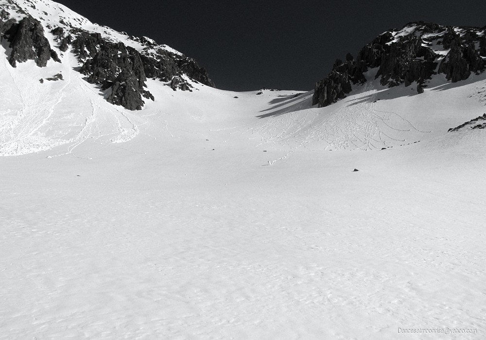
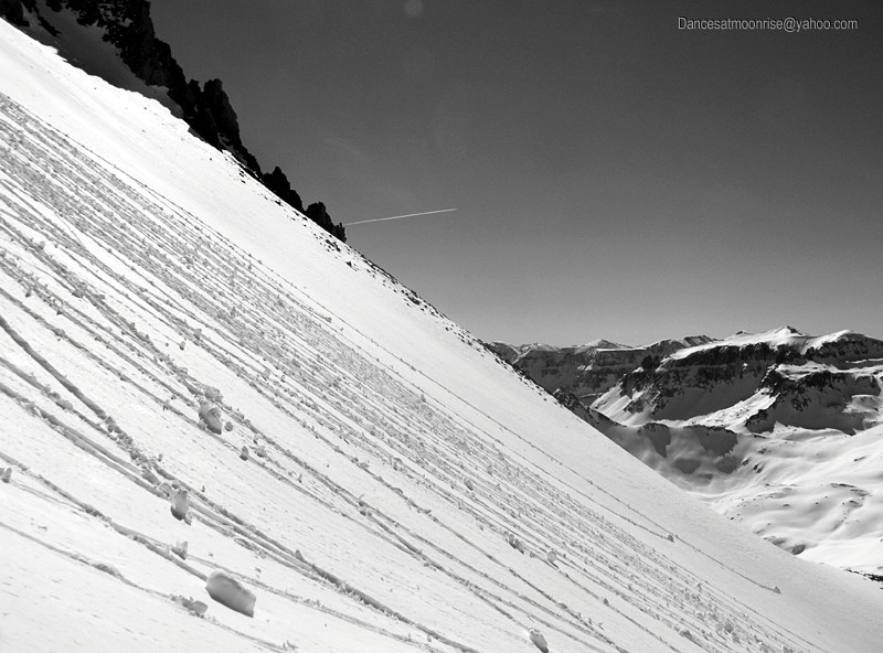
Some complex loading in the lower Lav...
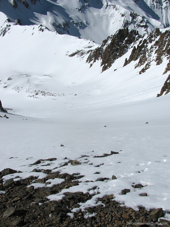
Coming up out of Yankee Boy Basin, which is at top right in the photo above, I make for the bare area at the right side of the upper face (top center
in photo above.) From here, around to the north side of the saddle (top left in the photo above,) to gain entrance to the couloir. There are a number
of rollerballs on the face, many off of the steep rock outcrops, and some point releases, though these appear to have happened yesterday. Not a
thing is moving so far this morning. I'm hoping it stays that way by the time I pass through on the descent.
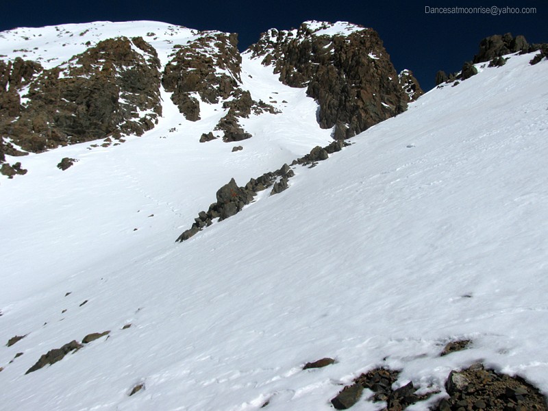
The upper Lavender Couloir is a beautiful thing in stable snow.
Finally at the top of the couloir, I look over the saddle and stare down the Snake Couloir. I'm still amazed me that people ski this line.
Looking left, I see no reasonable, safe way across the steep rock and snow that I'm comfortable with. Looking directly up, there's some steep rock
for about 20 feet, which appears to top out. It's been about three years since I was up here; I recall the summit being very close to the top of the
couloir. I"m sure the flatter area at the top of this 20-foot climb must be the summit. The climbing looks technically harder here than going left, but
the rock looks good, and well-featured, whereas traversing left goes onto some thin snow over steep rock, which can be tricky. I opt for the more
technical line, straight up the steep corner of the ridge.
The moves are interesting, and somewhat exposed. I've been on 5.7 rock routes that felt about like this. I'm able to get solid hand placements all
the way, though I'm nervous, brushing snow and exposing holds, hoping that in just a few feet I'll be on the summit. I try to put out of my mind just
how I'm going to downclimb this section. Perhaps I'll see an easier way around once on top.
As I top out, I'm appalled to see that I'm on a coffee-table sized pedestal, looking at a downclimb ahead and behind. The summit is further up the
ridge line. The sole saving grace is plenty of snow on this pedestal to sink the axe. I get a solid axe plant and have a look at the downclimb on the
far side. Nothing much to do but continue on at this point. The climb down the far side is not as bad as what I just came up, which still haunts at
the back of the mind, knowing it's coming up on the descent. No matter, the true summit is just ahead. We'll worry about that first.
The rest of the ridge is interesting. Steep snow and rock to the left, a cornice on the short ridge section just ahead, and a very steep drop to the
right. As I cross the ridge, I'm testing each new foot placement in the snow to make sure it's not bridging a gap between rocks. Falling through a
snow bridge is not an uncommon fate in the life of an alpinist. I think of the almost legendary image of an old fox walking carefully across the ice on
a lake. The axe makes an excellent sounding device for solid rock below. Thrusting to the right, I hope it's not poking into air on the other side of
the cornice.
Sometimes it's hard to know the exact best line across a corniced ridge. Too far below the ridge, and one looses the advantage which is conferred
by the ridge against avalanche. Too close to the cornice, and one could knock it off, or pop through. All the while, like Tuco in the noose staring at
the gold at his feet, I gaze at the summit, now a mere 80 feet away. I pick my best line. The snow is solid and kicks great steps, while the axe is
busy sounding out the depths. In a moment, the summit is mine.
What a fleeting feeling. The summit is not something we may hold long. And it is something which must soon be relinquished to an often long and not
infrequently dangerous descent. It is interesting that we place so much human importance on attaining the summit. For truly, is it not the memory of
the beauty along the way, both the visual, and the beauty of the vertical dance, that lingers, so much more durably, in the memory?
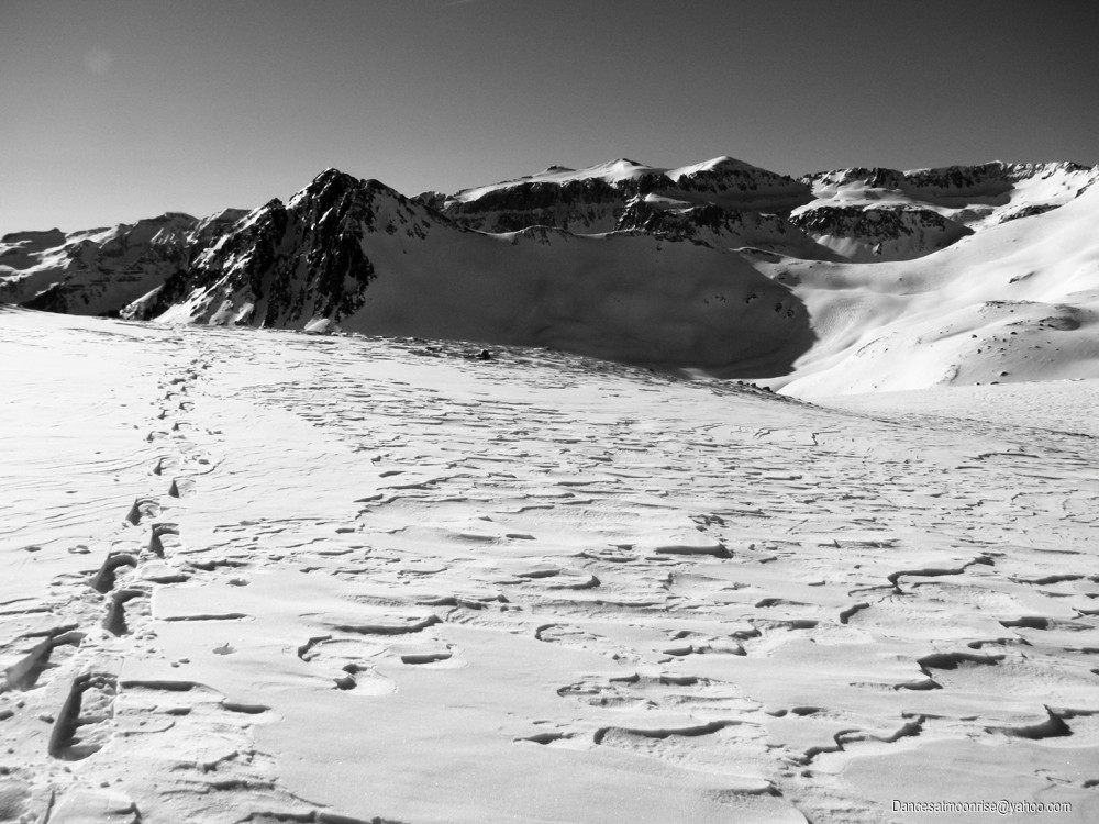
The views are pretty. Hope the floor is solid.
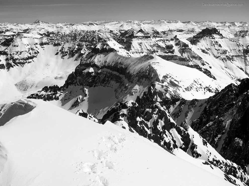
Gilpin Peak in the foreground. You can see the Chicago Basin 14ers at left skyline. Telluride to the right.
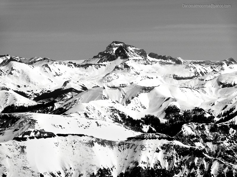
Unmistakeable Uncompahgre, with Wetterhorn peaking out from behind to the right.
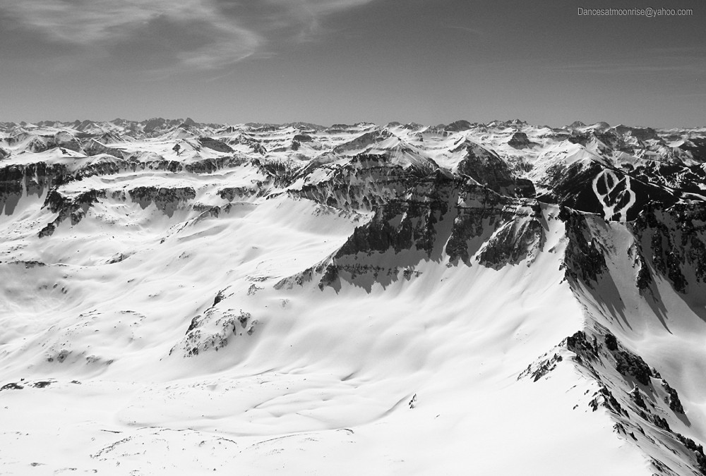
Looking down-basin. Kismet Mtn. in the foreground; Chicago Basin group at right skyline.
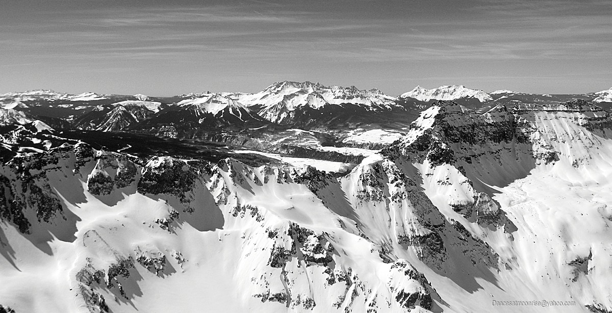
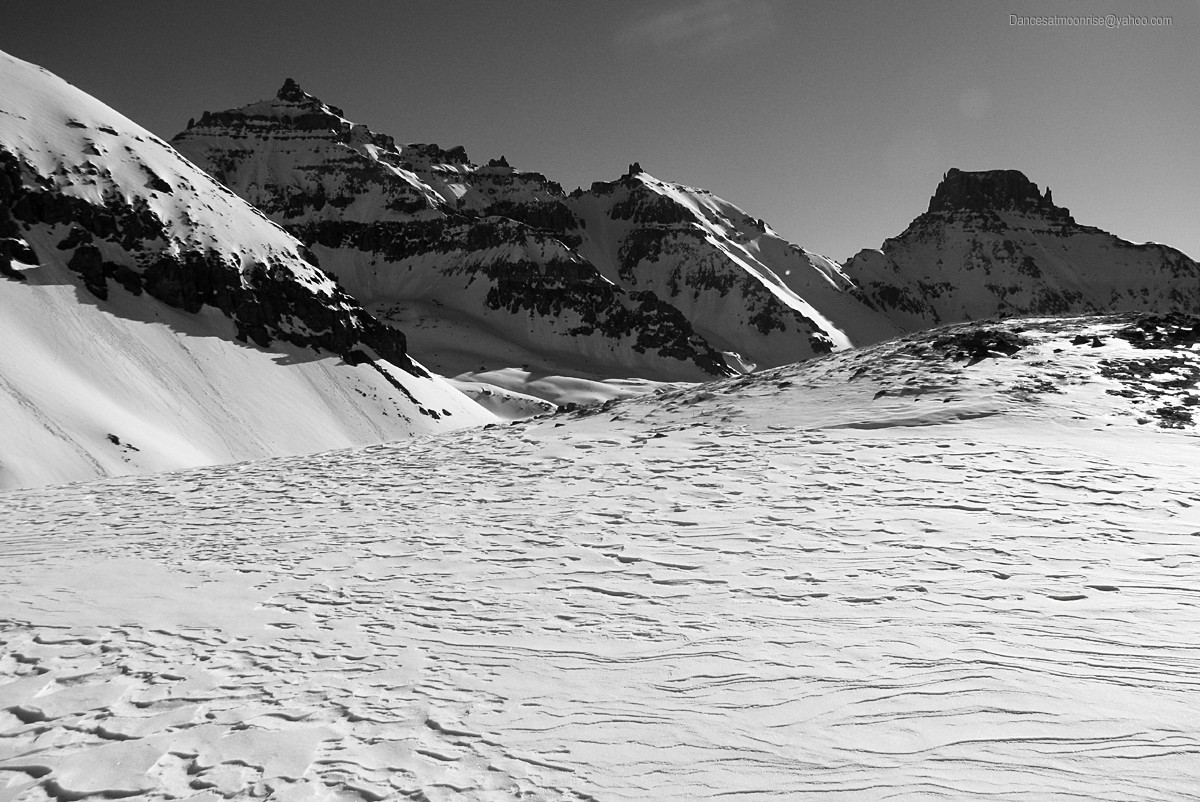
Dallas Peak, right foreground. Wilson group at skyline: Lizard Head, Mt. Wilson, El Diente, and Wilson Peak.
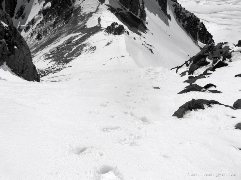
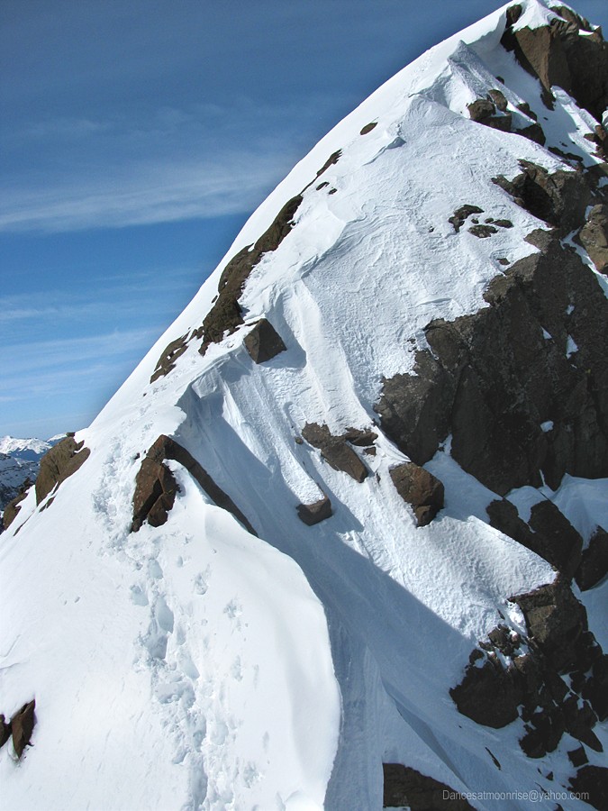
Heading back down the short east summit ridge.
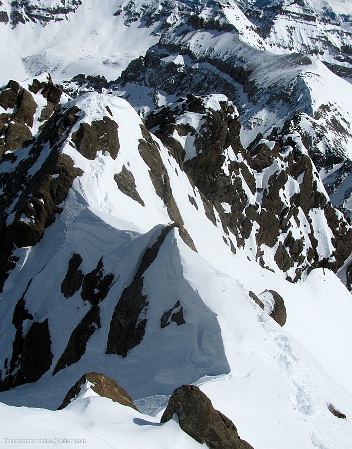
Might have been a bit more interesting than bargained for.
Well, it didn't slide on the way up.
But seriously folks...What can you do when the summit is only 50 feet away?.
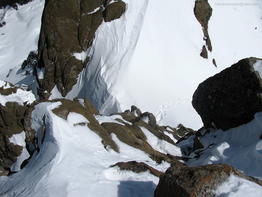
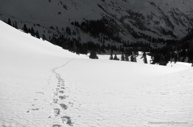
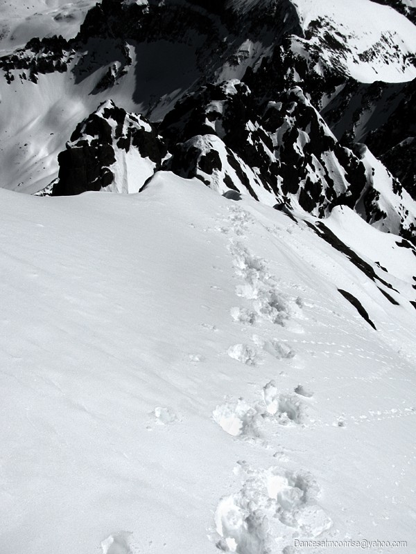
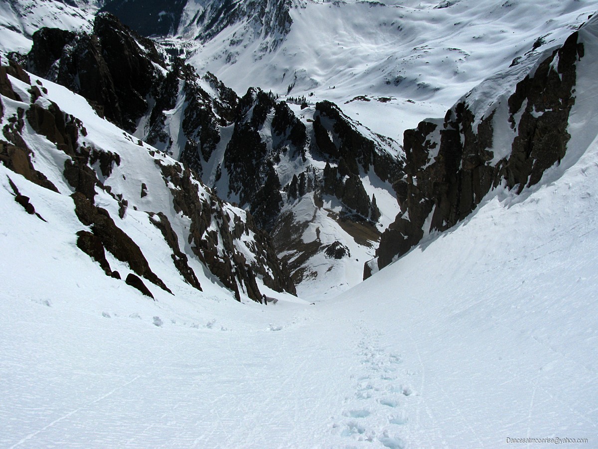
The Lavender Couloir is below, with the footsteps going off to the right.
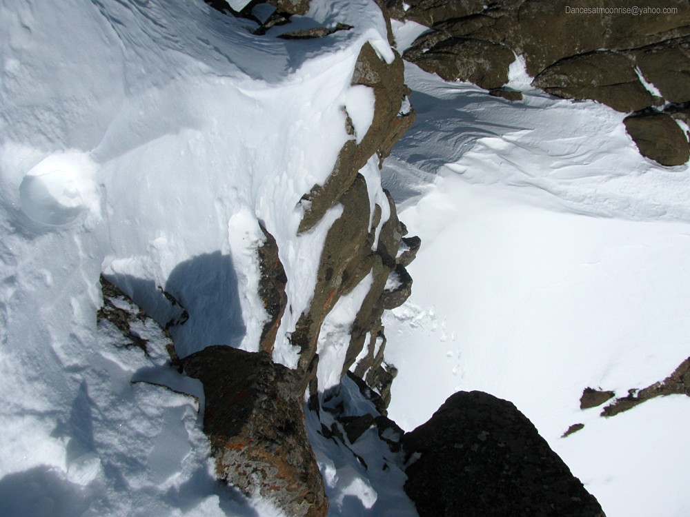
Another view of the downclimb. Everything is there; it just looks scary.
Almost down.
Ah, back in the couloir.
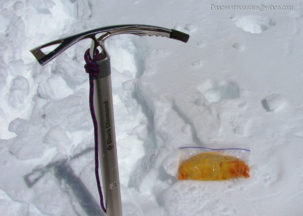
Hot snow, hotter mexican cuisine. Now safe and very sound.
The helicopter crew has been busy today.
Skis in the car. Missed the boat.
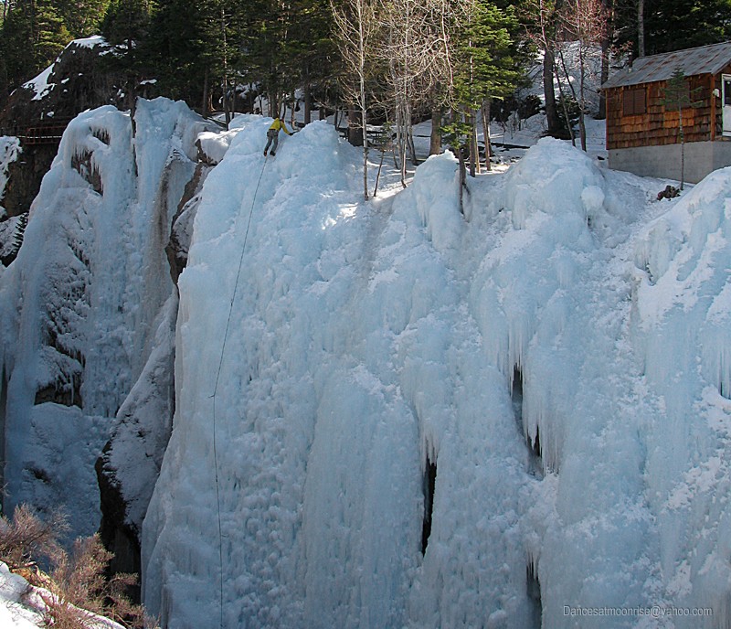
The remainder of the slog back goes without incident. On the way out, I begin to understand the issue over the road. Some of the rock here is quite
interesting. Since I was here last, a number of routes have gone up, and it looks like several hard projects currently being worked.
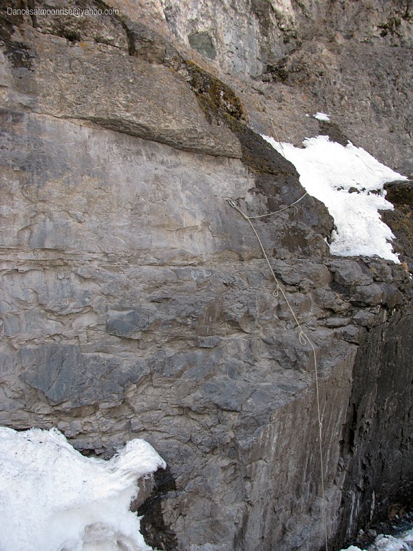
The crux of the friction: climbers vs. miners. This is a hand-line to get up to a belay notch off the road.
Downtown Ouray: Them guys got it pretty good .
I'm glad to be off steep snow well before the mid-afternoon heat. It's an incredible, warm, spring-like day on the western slope. I spend a few
minutes organizing things at the car, head into Montrose for supplies, and continue on to the Cataract Gulch TH outside Lake City, where I'll be
meeting Ted tonight, for a planned attempt on Handies in the morning via Boulder Gulch.
Thanks for reading, and hoping the report has been entertaining, and proves helpful for those interested in making a winter attempt of Mt. Sneffels.
-Jim
One last look south from the Lavender Couloir. The Chicago Basin group is at center skyline.
.
|