Download Agreement, Release, and Acknowledgement of Risk:
You (the person requesting this file download) fully understand mountain climbing ("Activity") involves risks and dangers of serious bodily injury, including permanent disability, paralysis, and death ("Risks") and you fully accept and assume all such risks and all responsibility for losses, costs, and damages you incur as a result of your participation in this Activity.
You acknowledge that information in the file you have chosen to download may not be accurate and may contain errors. You agree to assume all risks when using this information and agree to release and discharge 14ers.com, 14ers Inc. and the author(s) of such information (collectively, the "Released Parties").
You hereby discharge the Released Parties from all damages, actions, claims and liabilities of any nature, specifically including, but not limited to, damages, actions, claims and liabilities arising from or related to the negligence of the Released Parties. You further agree to indemnify, hold harmless and defend 14ers.com, 14ers Inc. and each of the other Released Parties from and against any loss, damage, liability and expense, including costs and attorney fees, incurred by 14ers.com, 14ers Inc. or any of the other Released Parties as a result of you using information provided on the 14ers.com or 14ers Inc. websites.
You have read this agreement, fully understand its terms and intend it to be a complete and unconditional release of all liability to the greatest extent allowed by law and agree that if any portion of this agreement is held to be invalid the balance, notwithstanding, shall continue in full force and effect.
By clicking "OK" you agree to these terms. If you DO NOT agree, click "Cancel"...
Handies Peak - Attempt WhiteCrossMountain/Nolan Route March 4 - Day 1: Depart car at Winter Closure 3pm, arrive at Grizzly Gulch Area Camp at 6pm
4 miles, unknown gain March 5 - Day 2: Leave tent at 6:50am, wallow in snow for 3 hours, retreat, pack out
Not very much mileage, not very much gain!
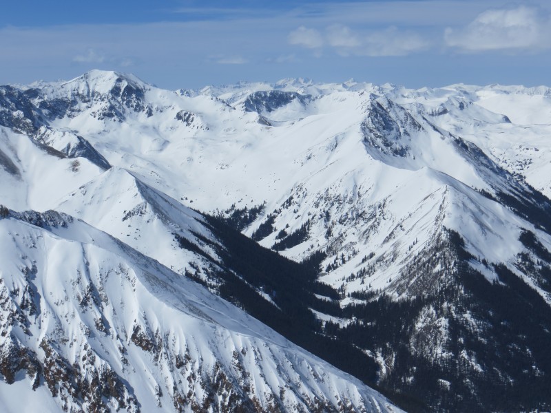
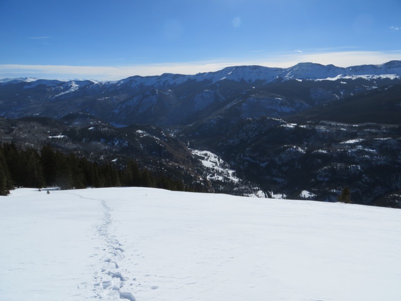
The Search for a Safe Winter Route on Handies
A view of the full route (taken from Suncloud Saddle)
Handies Peak has always captured my imagination. Not only is is nestled deep in the heart of the San Juans, but it has a reputation for having the best summit view among 14ers as well as being rather difficult in winter. The traditional winter approach is to take the Cataract Gulch TH to Boulder Gulch, but the route is far from safe. Some friends of mine were lucky enough to sneak it in earlier this season, but shortly after the window closed. I had spoken to Ken about Handies at length and he had suggested a possible route over WhiteCross Mountain. It was a very long trip with 4 miles of road just to reach the base and may unknowns, but he figured it was worth a shot and would be a "winter first."
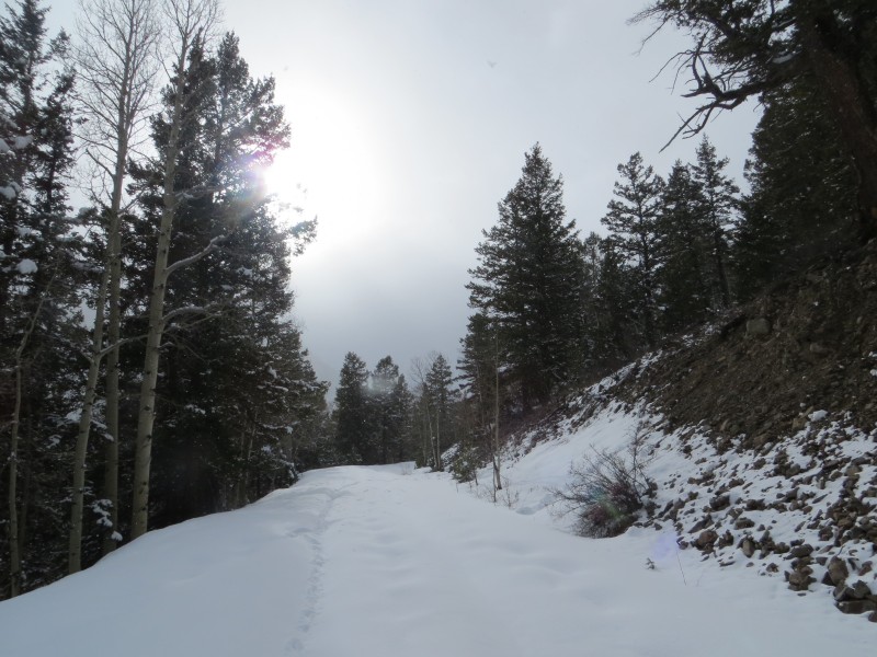
The snow covered start of the road
More road
First landmark, near the shelf sections
Word got around, as it always does, and by late February, several parties had flirted with the idea of attempting it. As far as I know, no one had put that plan into action yet. On Monday I found myself driving down to Lake City with no clear plan. I had flirted with Sunshine and Redcloud many, many times...yet for some reason could never bring myself to do it. Uncompaghre was a option, but some friends had requested I save it for them. As I ate in Gunnison I suddenly realized that a 2 day attempt of the Nolan Handies route was in order. I bounced the idea off Sarah to make sure I wasn't nuts and quickly got back on the road as I wanted to pack in that afternoon.
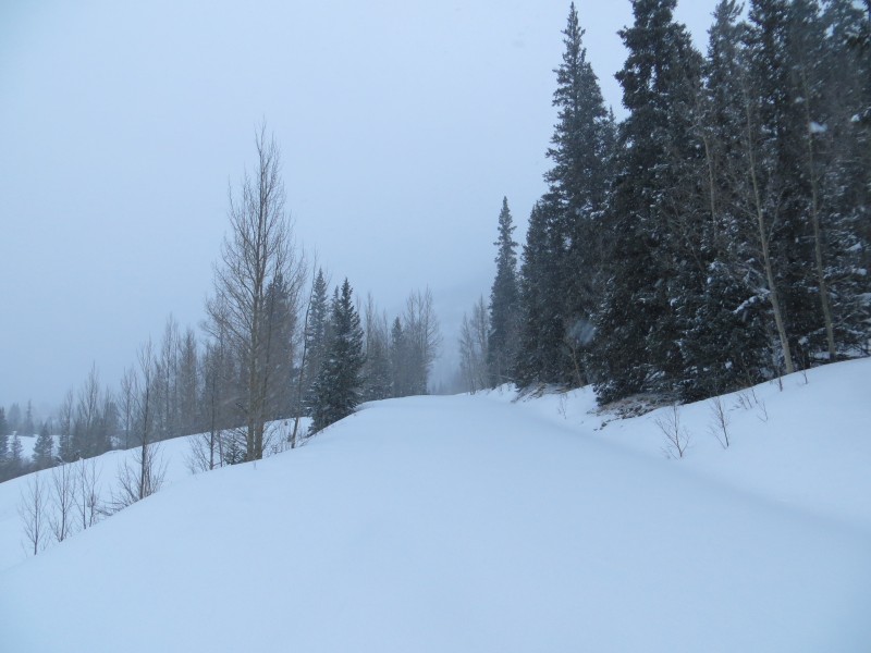
As expected, the road was gated at the Cinnamon Pass turnoff and there was no sign of any recent activity. It wasn't a surprise, but it was still disheartening. I quickly through a pack together and set off around 3pm. I knew I wanted to set camp by nightfall and I had 4 miles of road to go, while carrying a pack and breaking trail. To top it off, it was snowing. Oh well, at least I am in the San Juans I thought. The hike was actually rather enjoyable and I took comfort in the familiar road. The sky eve showed itself every so often to remind me that not all was bleak in the world. The shelf section was fun, but soon after the snow deepened. The last mile to camp was brutal. I set my pack down at 6pm just shy of the TH. Had I had more daylight, I would have tried (keyword being tried) to get higher. As it turned out there were some good camping spots on Whitecross's ridge below tree, but hauling a pack up there would have been torture.
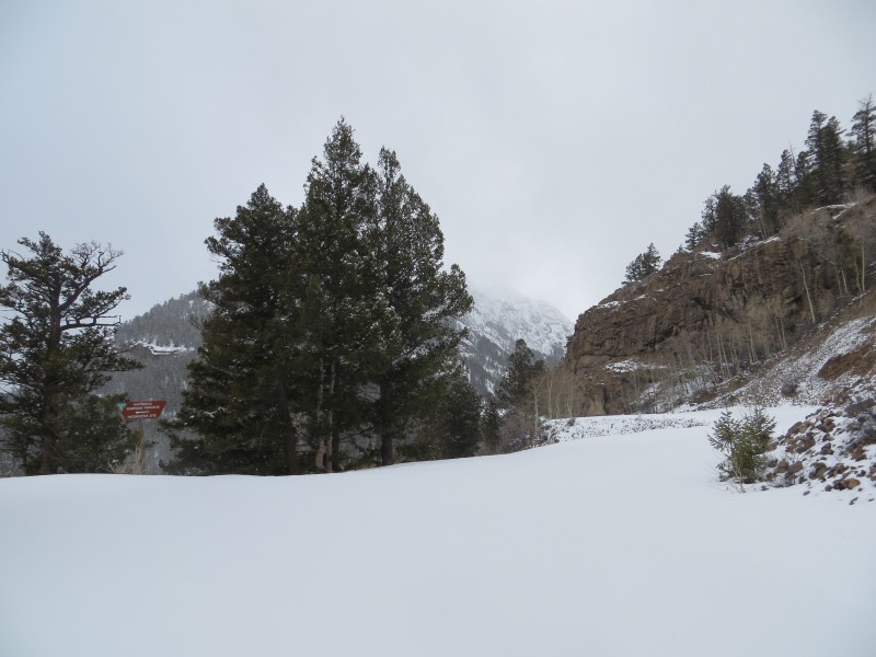
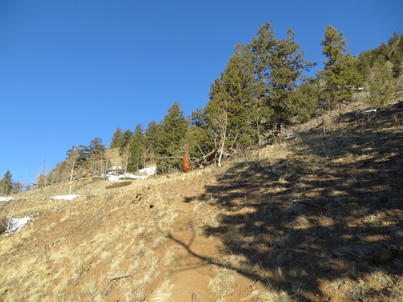
Shelf road begins
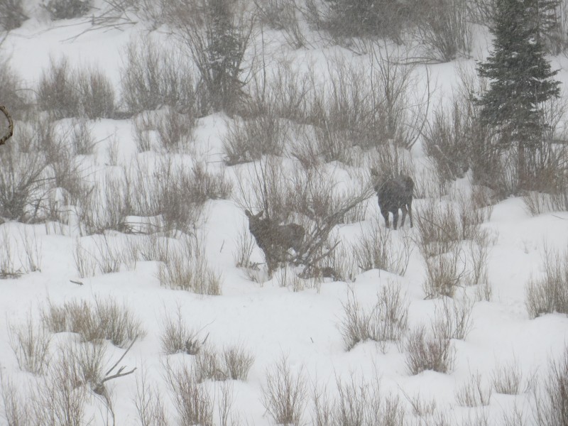
Some friends. Welcome company
Snow gets deeper as I get higher up
First view of the route in the morning
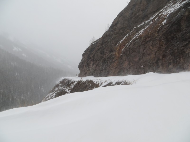
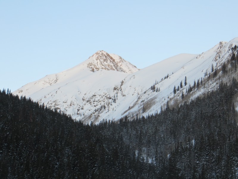
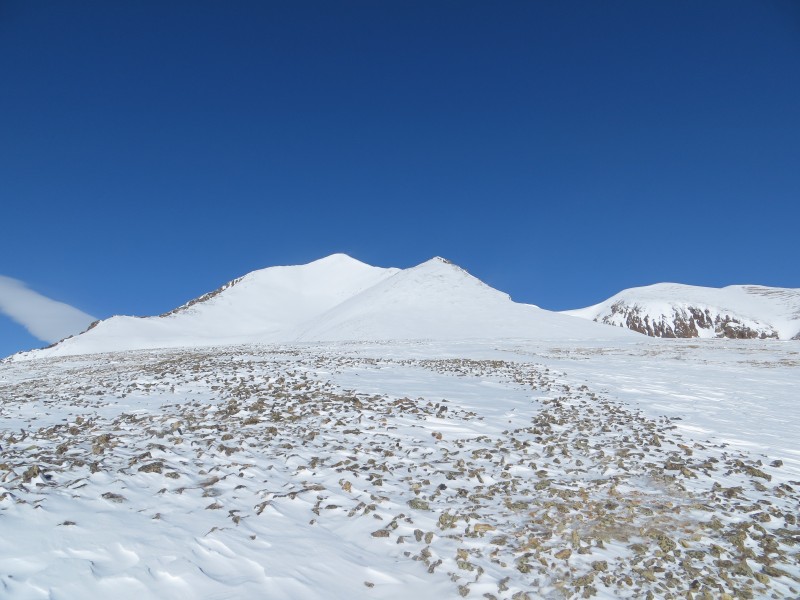
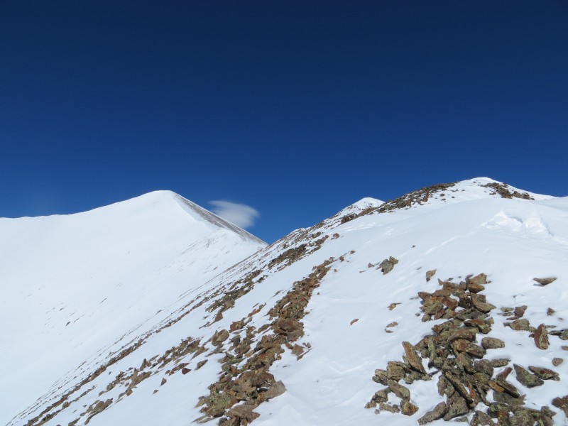
Between the storm and the setting sun, I was unable to get a view of my route. I set up my solo campsite and went to bed. I was up and moving a bit after 6am. Once I popped out of my tent I saw a clear blue sky and the route. It did not look good. Above tree the ridge was heavily corniced and there was a headwall to gain WhiteCross that may or may not go (in retrospect it probably would have only been Class 2+, but the snow was a concern). Not feeling terribly optimistic, I threw a summit pack together and quickly headed out. The trail breaking was intense from the start.
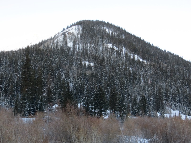
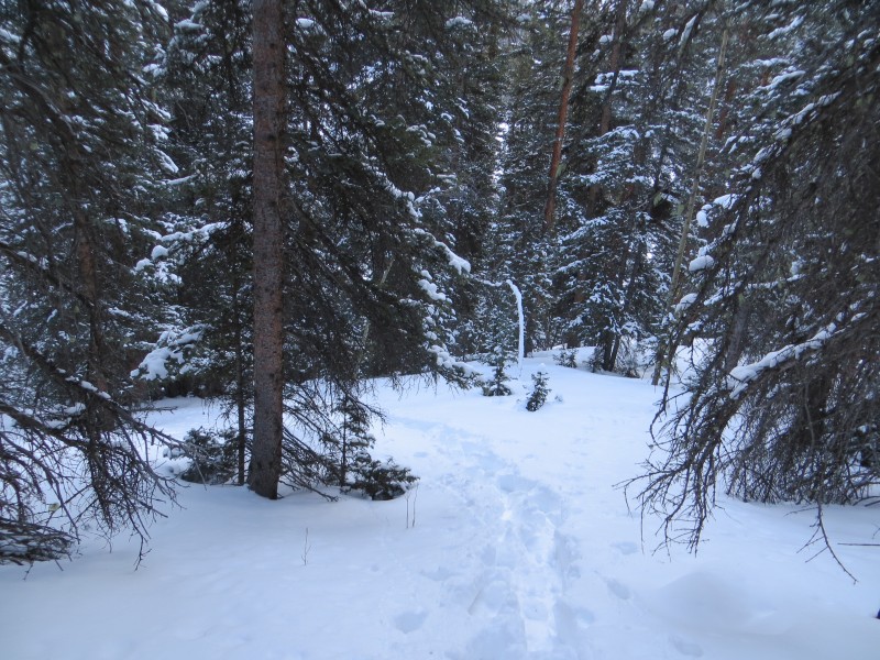
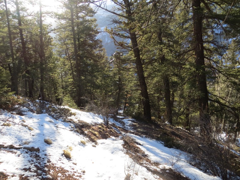
Below treeline portion of the ridge
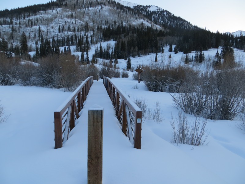
The bridge
Soooomuch snow!
I watched the minutes pass as I made my way to the start of the tree covered ridge. It was steep and covered in snow. I was not sure what avy would be like, but it was clear what trailbreaking would be like. My progress was dreadfully slow. The higher I got, the more snow there was. It was 3 step trailbreaking! Step 1 was to clear path with my poles, then use my knees and finally attempt to step forward (which I often failed at). Having already lost 3+ hours to the snow demos and knowing how far Handies was, I decided to cut my losses. I turned back around 10:30am. Wouldn't you know it, I was back at camp in 20 minutes!
Didn't get too far...
My lonely campsite
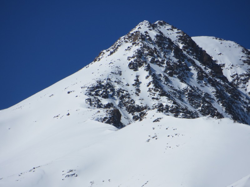
Close up of the potetial headwall
Lake City Ice Park (ha. ha.)
This route is a good idea and would be good for a strong team (or maybe in early season). I am curious, perhaps I might return next season.
Finally Facing SunCloud
Sunshine Peak(14,001') Redcloud Peak (14,034')
Mill Creek TH - Sunshine South Slopes to East Ridge, Redcloud traverse
March 6th, 2013 Mill Creek TH: 6:50am Sushine Peak: 10:30am Redcloud Peak: 11:30am Car: 2pm
There are many reports for this route out there, including a few from this season. The main purpose of this TR is the new route info on Handies. Here is a quick conditions update for Sunshine/Redcloud.
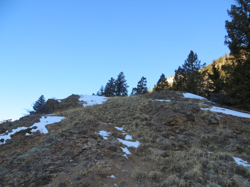
The TH is just past 10 miles (not 13.1 like Roach describes) and the sign is obvious. The trail is not marked, but begins at the only logical place across the way. There is a trail below treeline. It cuts right at first to avoid some cliffs, then heads uphill. It was a welcome relief to hike on dry ground and the going was easy. Around 11,000 the snow got deep and I had to break trail. I came across Mike's trench from a few days prior just as I was getting to tree. It was like he was laughing at me (Thanks bud!)
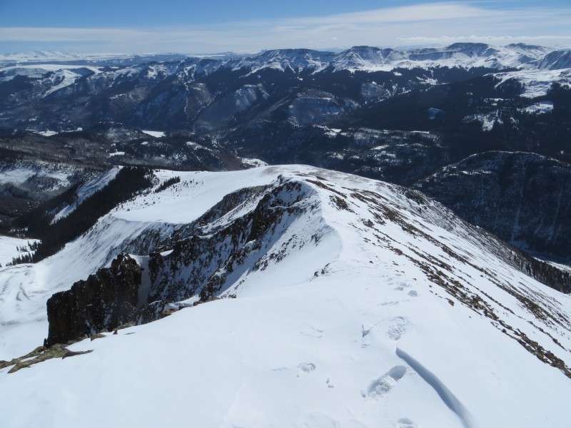
Once above treeline the route is very obvious and straightforward. I cashed my snowshoes on the first ridge bump and made my way to Sunshine. The traverse to Redcloud was mostly bare and uneventful. On the return trip I side sloped Sunshine. The descent was equally uneventful. These are 2 very fine looking peaks with fantastic views. Luckily despite the forecast of 50mph winds I enjoyed a bluebird day.
Here are some pics...
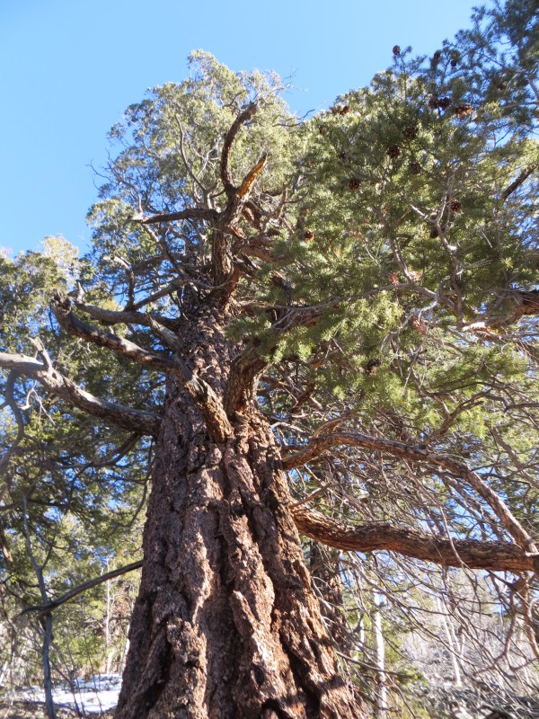
Early goings
No snow! What a relief
Patches hear and there
Taking time to enjoy the experiece
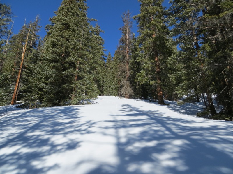
Time to start breaking trail...
Above treeline
Sunshine Ridge
Getting higher...
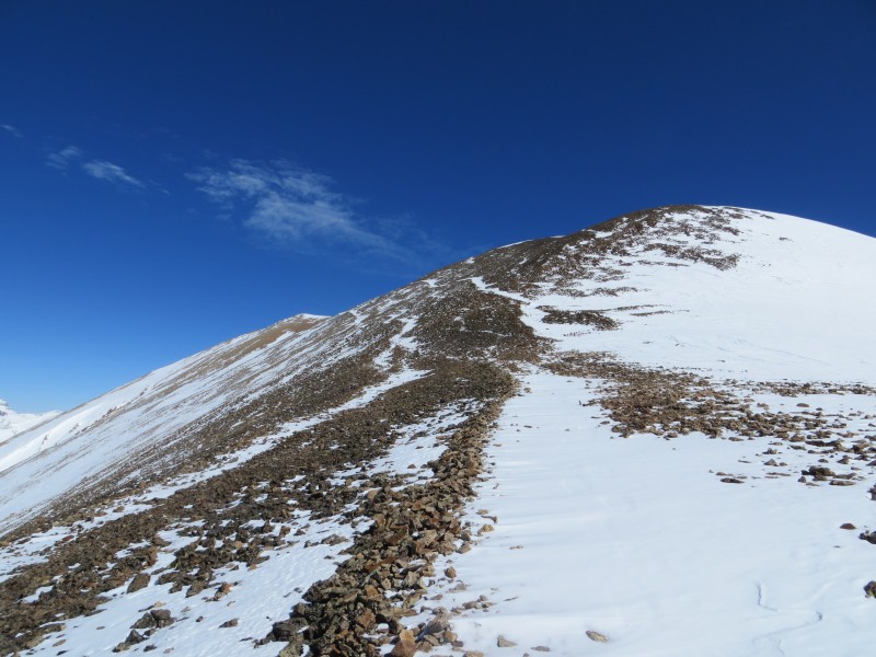
Looking back down the route
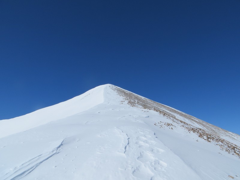
Final push to the summit
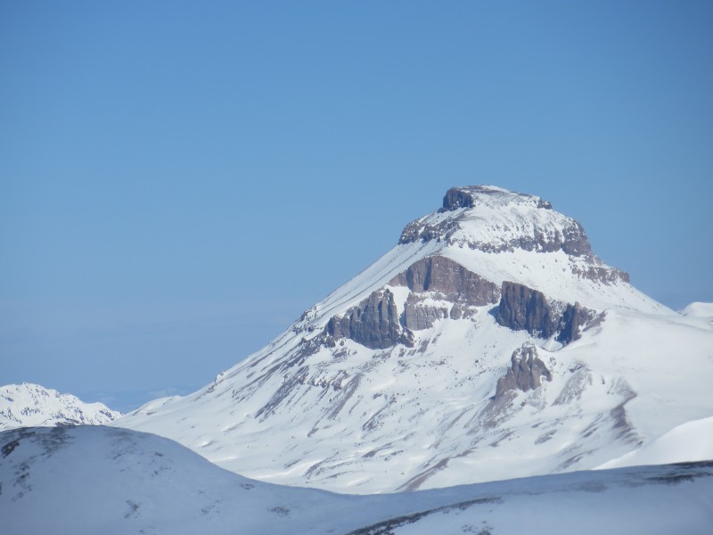
Uncompaghre looking awesome
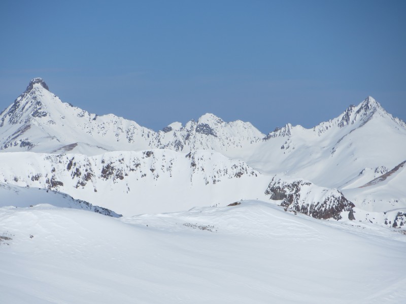
Wetterhorn and Matterhorn
Traverse to Redcloud
Thumbnails for uploaded photos (click to open slideshow):
as I've told you before I'm in awe about how hard you've gone lately. Excellent work, man! My favorite part of this TR is that picture of Wetter/Matterhorn That might have just boosted those peaks(and possibly that horrible traverse) up my short list.
Again - good work and keep the hard work coming!
Caution: The information contained in this report may not be accurate and should not be the only resource used in preparation for your climb. Failure to have the necessary experience, physical conditioning, supplies or equipment can result in injury or death. 14ers.com and the author(s) of this report provide no warranties, either express or implied, that the information provided is accurate or reliable. By using the information provided, you agree to indemnify and hold harmless 14ers.com and the report author(s) with respect to any claims and demands against them, including any attorney fees and expenses. Please read the 14ers.com Safety and Disclaimer pages for more information.
Please respect private property: 14ers.com supports the rights of private landowners to determine how and by whom their land will be used. In Colorado, it is your responsibility to determine if land is private and to obtain the appropriate permission before entering the property.