Download Agreement, Release, and Acknowledgement of Risk:
You (the person requesting this file download) fully understand mountain climbing ("Activity") involves risks and dangers of serious bodily injury, including permanent disability, paralysis, and death ("Risks") and you fully accept and assume all such risks and all responsibility for losses, costs, and damages you incur as a result of your participation in this Activity.
You acknowledge that information in the file you have chosen to download may not be accurate and may contain errors. You agree to assume all risks when using this information and agree to release and discharge 14ers.com, 14ers Inc. and the author(s) of such information (collectively, the "Released Parties").
You hereby discharge the Released Parties from all damages, actions, claims and liabilities of any nature, specifically including, but not limited to, damages, actions, claims and liabilities arising from or related to the negligence of the Released Parties. You further agree to indemnify, hold harmless and defend 14ers.com, 14ers Inc. and each of the other Released Parties from and against any loss, damage, liability and expense, including costs and attorney fees, incurred by 14ers.com, 14ers Inc. or any of the other Released Parties as a result of you using information provided on the 14ers.com or 14ers Inc. websites.
You have read this agreement, fully understand its terms and intend it to be a complete and unconditional release of all liability to the greatest extent allowed by law and agree that if any portion of this agreement is held to be invalid the balance, notwithstanding, shall continue in full force and effect.
By clicking "OK" you agree to these terms. If you DO NOT agree, click "Cancel"...
Missouri West Ridge
Trailhead - Rockdale
11.25 Miles 4,250 Feet
Start 5 AM
Return 6:30 PM
Total - 13.5 Hours
Who - Blind Mule (Don) and Mickeys Grenade (Jeff)
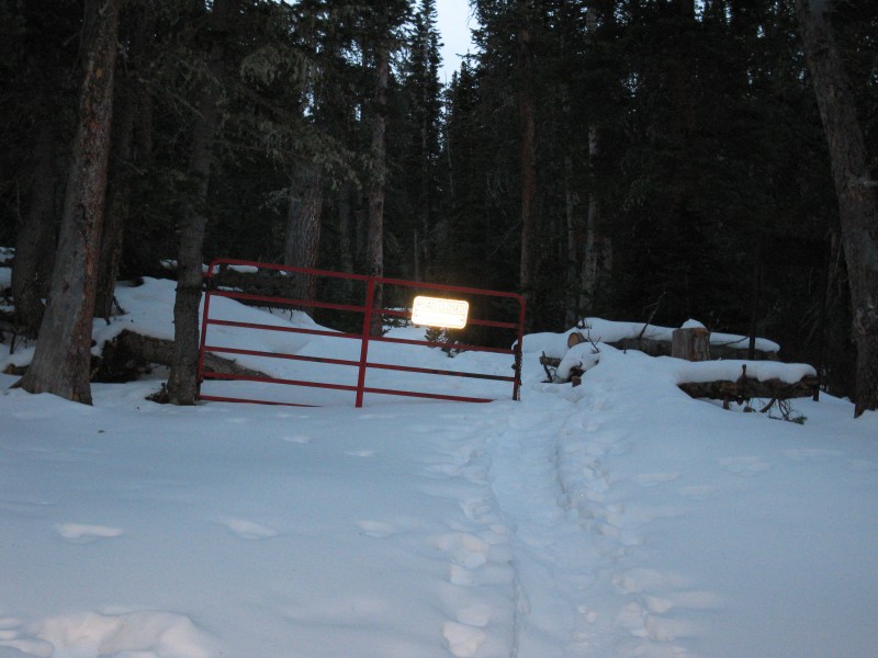
I got up at home around 1 AM on Saturday and picked Don up at 2 AM. We drove through the night and made it to the Rockdale Trailhead for a 5 AM start. There was a nice trench to follow all the way to Clohesy Lake. (Thank-You) Gate Just Beyond 4wd Parking
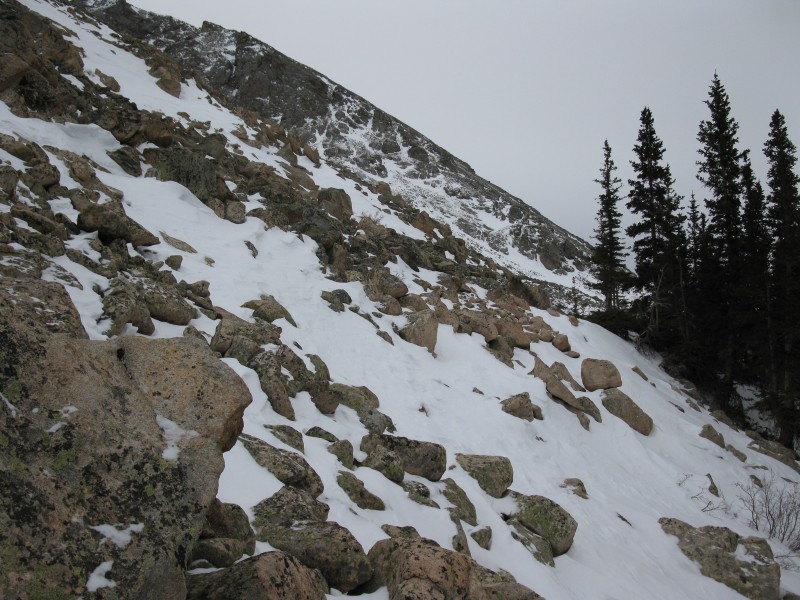
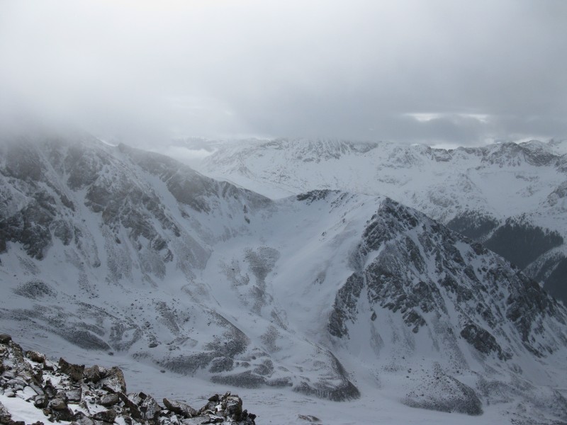
Then the trailbreaking started to make it to treeline. There is a steep West facing slope above Clohesy Lake. We decided not to take avalanche gear on this trip. The danger was rated moderate and we took our chances. It was difficult getting to treeline and traversing over in to the "gut" between Iowa and Missouri. Above Clohesy Lake Almost to Treeline
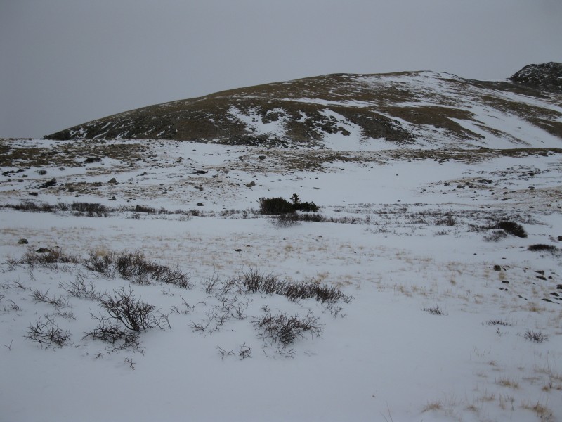
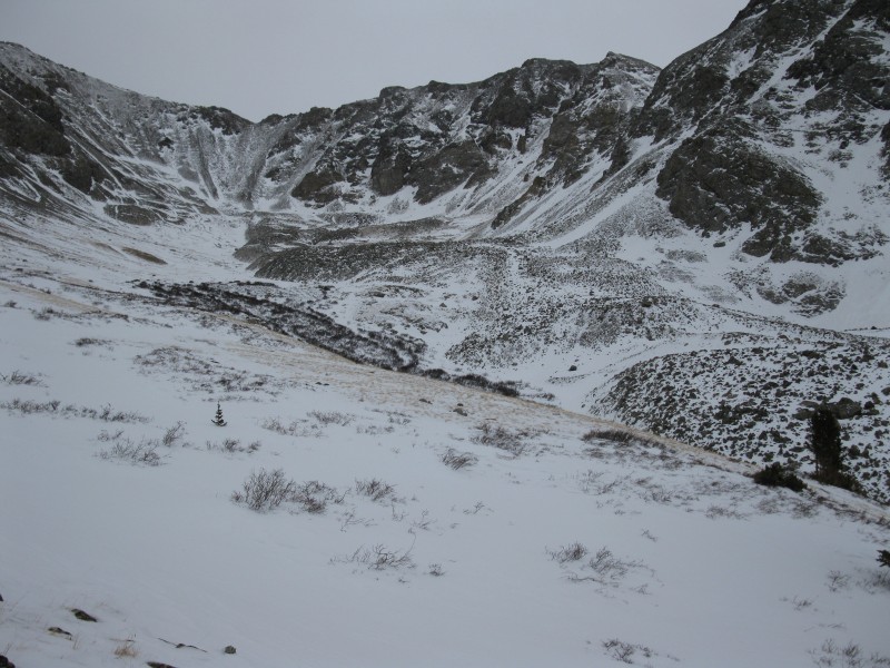
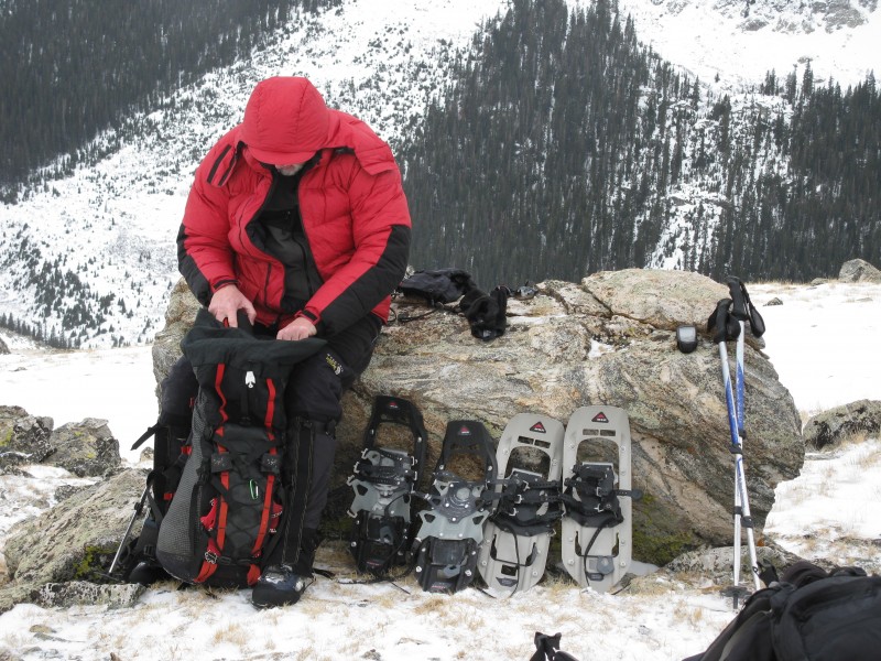
We stopped just above Clohesy Lake and cached a thermos of soup and one with hot chocolate for later on the descent. We made it to the base of the West Ridge and decided to leave our snowshoes behind. Heading Over to the West Ridge Iowa - Missouri Saddle Snowshoe Rock
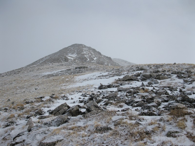
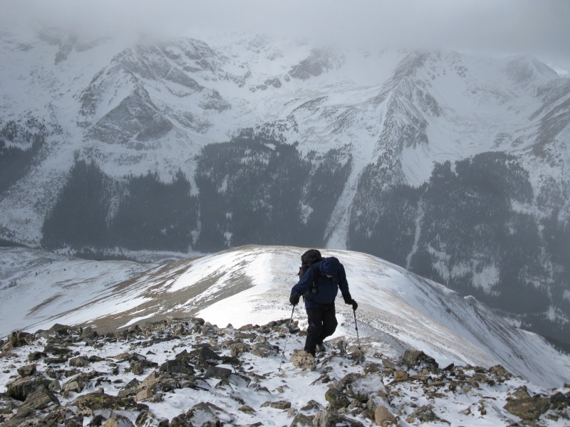
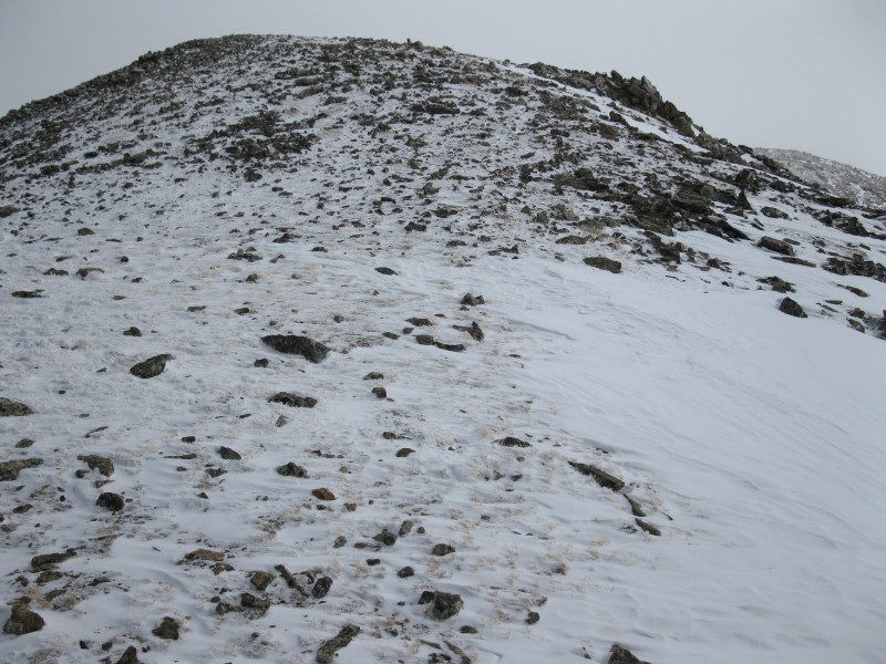
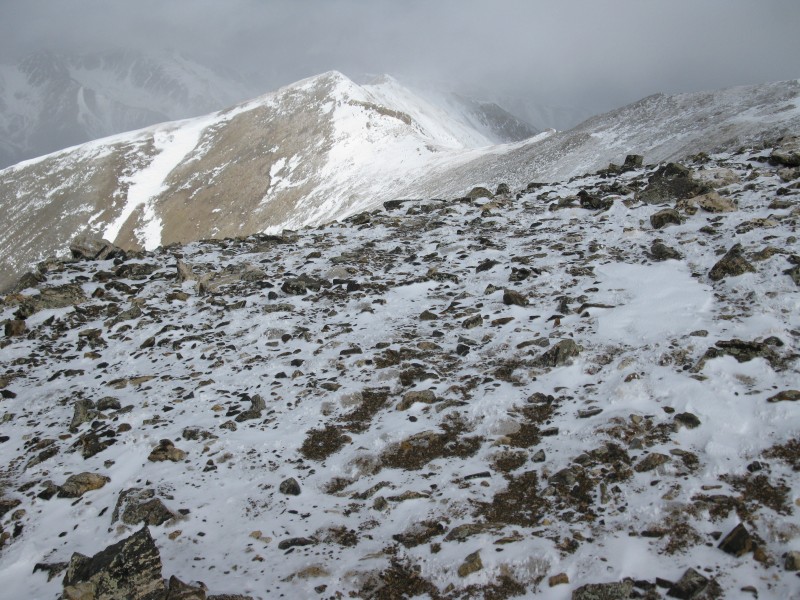
It was a well deserved break at "snowshoe rock"! Now it was time to head up the never ending West Ridge. West Ridge Iowa in the Clouds Another False Summit
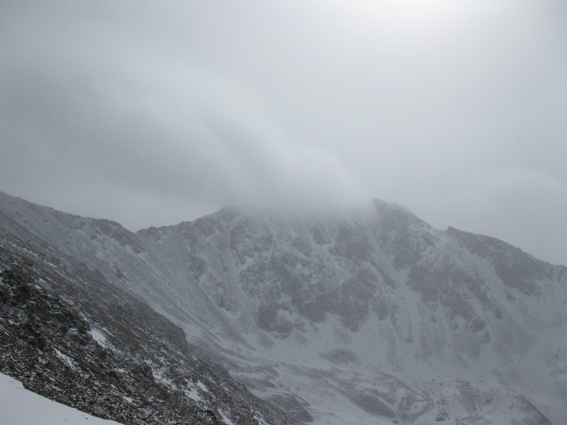
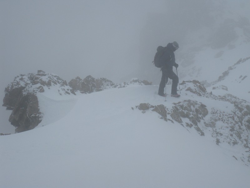
At around 13K we split a 5 Hour Energy. This is a trick that I learned from Robco. It gave me the usual burst of 1 Hour Energy. It was starting to snow and the visibilty was getting poor. Don on His Way Up
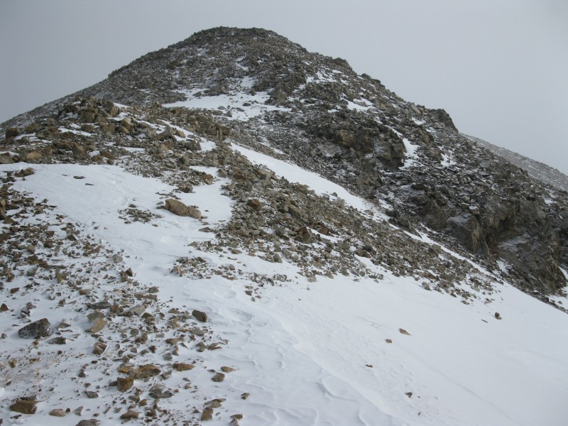
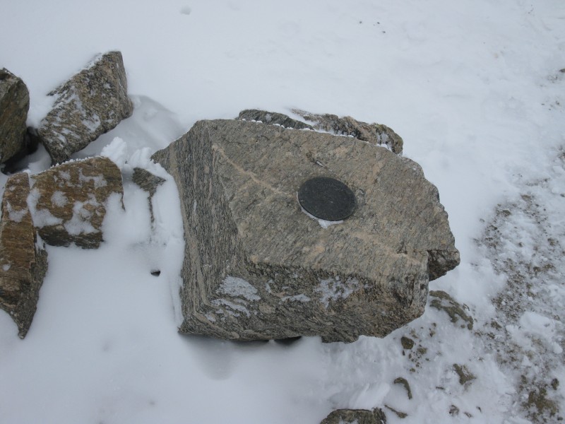
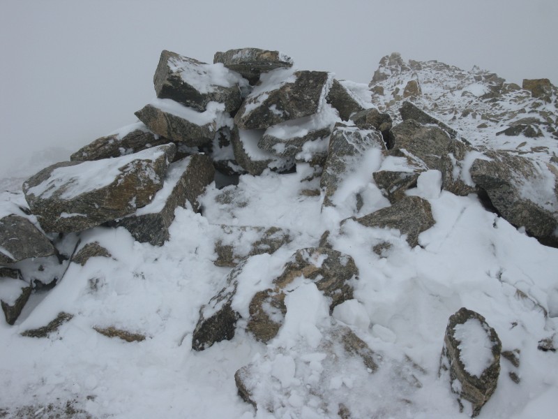
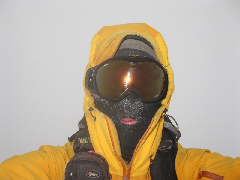
Before the crux of the summit ridge, we saw 3 other climbers returning from the summit. They came up from Missouri Gulch. The down climb and traverse over to the summit was a little tricky. We had microspikes on, but no ice ax. In retrospect, an ice ax would have been a good idea. The weather was not that nice at this point. We had goggles and face protection on. We finally made the summit with very low visibility.
Now it was time for the long descent. It was starting to snow harder as the day went on. We eventually made it back to our snowshoe rock and finally all the way down to where the thermos cache was. It was absolutely amazing as we shared a liter of hot chocolate and a liter of Lipton Soup. It was snowing hard at this point. The first mile of snowshoeing was very peaceful as I enjoyed the snowfall and a new winter summit. However, it quickly got dark and the misery set in. It seemed to take forever to get to the creek crossing and eventually make it to the car. The car started and we didn't get stuck on the 9+ mile drive back out to the highway! The snow continued to fall and it was a slow drive back to Buena Vista where a visit to the Super8 was in order. I was exhausted and didn't want to drive all the way back home that night in poor weather conditions.
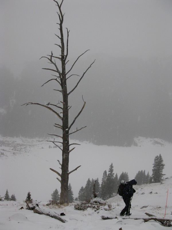
This is my favorite photo from the trip. Just Above Clohesy Lake at the Thermos Cache
Thumbnails for uploaded photos (click to open slideshow):
Great pictures! I was in the group of three that you met on the summit ridge; we didn't even bring snowshoes up Missouri Gulch, and only postholed in some short sections through underbrush. We were glad to have ice axes though.
A spectacular summit but nothing to see 1/29/2013 4:22am
Long day on a really long West Ridge, but, definitely worth the effort. The higher temps we had for the whole day really helped compensate for the nastier conditions up high on the summit ridge. I'm still tired.
Caution: The information contained in this report may not be accurate and should not be the only resource used in preparation for your climb. Failure to have the necessary experience, physical conditioning, supplies or equipment can result in injury or death. 14ers.com and the author(s) of this report provide no warranties, either express or implied, that the information provided is accurate or reliable. By using the information provided, you agree to indemnify and hold harmless 14ers.com and the report author(s) with respect to any claims and demands against them, including any attorney fees and expenses. Please read the 14ers.com Safety and Disclaimer pages for more information.
Please respect private property: 14ers.com supports the rights of private landowners to determine how and by whom their land will be used. In Colorado, it is your responsibility to determine if land is private and to obtain the appropriate permission before entering the property.