Download Agreement, Release, and Acknowledgement of Risk:
You (the person requesting this file download) fully understand mountain climbing ("Activity") involves risks and dangers of serious bodily injury, including permanent disability, paralysis, and death ("Risks") and you fully accept and assume all such risks and all responsibility for losses, costs, and damages you incur as a result of your participation in this Activity.
You acknowledge that information in the file you have chosen to download may not be accurate and may contain errors. You agree to assume all risks when using this information and agree to release and discharge 14ers.com, 14ers Inc. and the author(s) of such information (collectively, the "Released Parties").
You hereby discharge the Released Parties from all damages, actions, claims and liabilities of any nature, specifically including, but not limited to, damages, actions, claims and liabilities arising from or related to the negligence of the Released Parties. You further agree to indemnify, hold harmless and defend 14ers.com, 14ers Inc. and each of the other Released Parties from and against any loss, damage, liability and expense, including costs and attorney fees, incurred by 14ers.com, 14ers Inc. or any of the other Released Parties as a result of you using information provided on the 14ers.com or 14ers Inc. websites.
You have read this agreement, fully understand its terms and intend it to be a complete and unconditional release of all liability to the greatest extent allowed by law and agree that if any portion of this agreement is held to be invalid the balance, notwithstanding, shall continue in full force and effect.
By clicking "OK" you agree to these terms. If you DO NOT agree, click "Cancel"...
Report Type
Full
Peak(s)
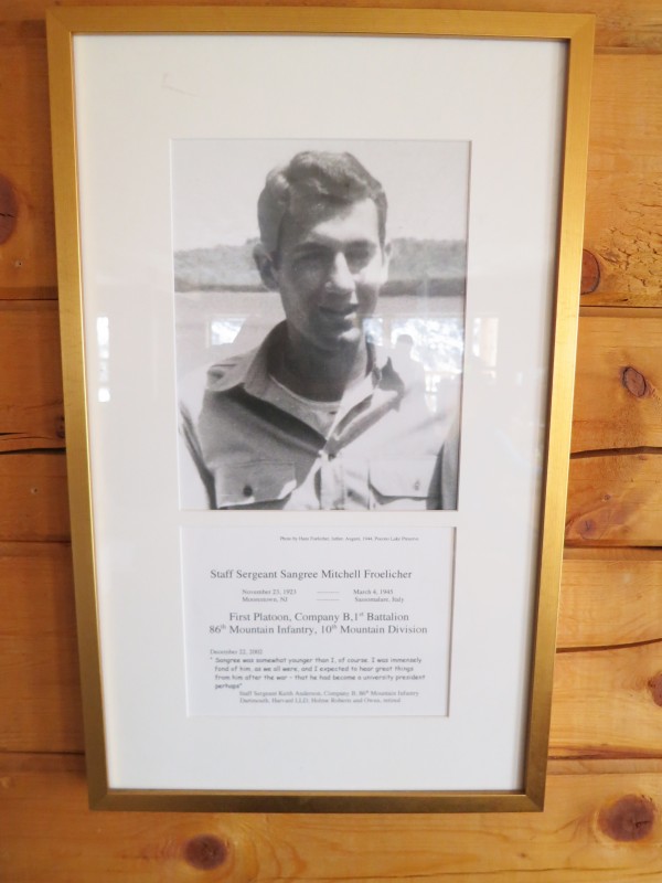
Buckeye Peak - 12867
PT 12254
Sangree M. Froelicher Hut - 11700
December 18, 2012 - Hike to the hut
Start: 12:30 pm
End: 3:00 pm
Elevation gain: 1,465'
Milage: 3 miles
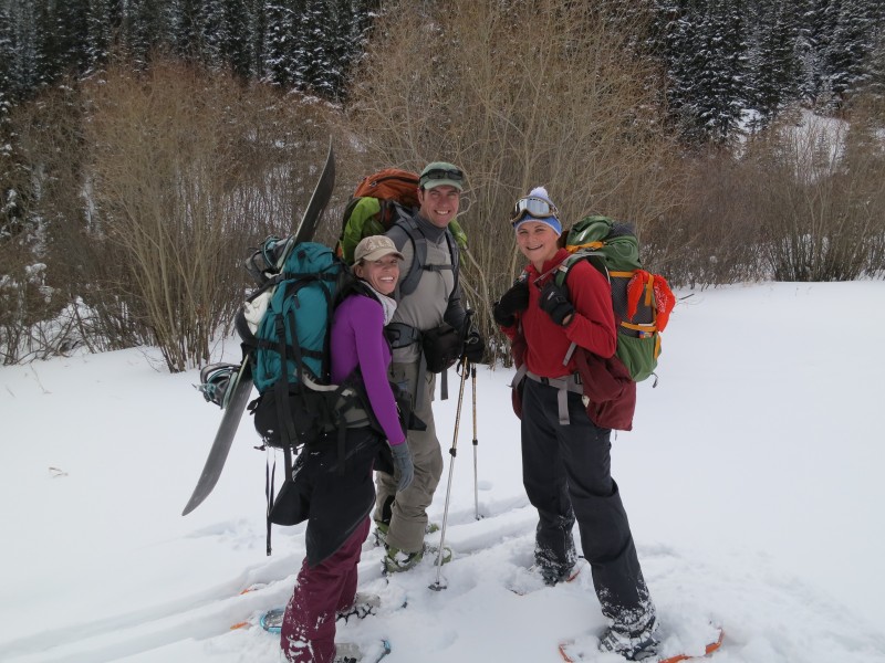
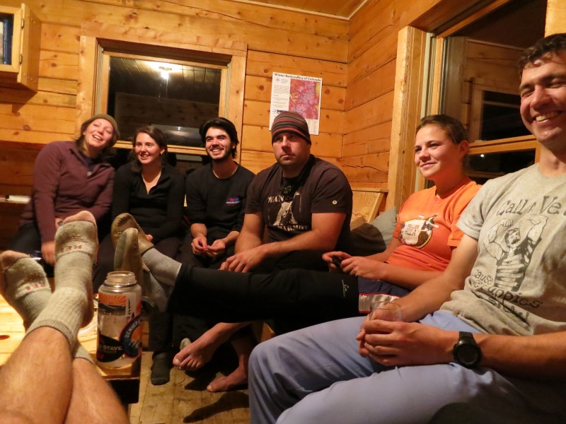
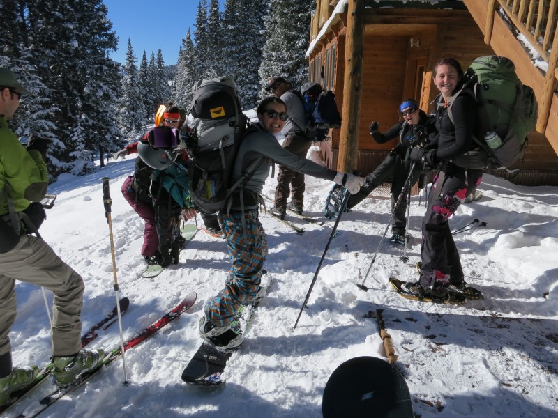
Company: Kaitlin, Andy, Megan, Marco, Jessica, Alyssa, Chelsea, Shawna, and Jess.
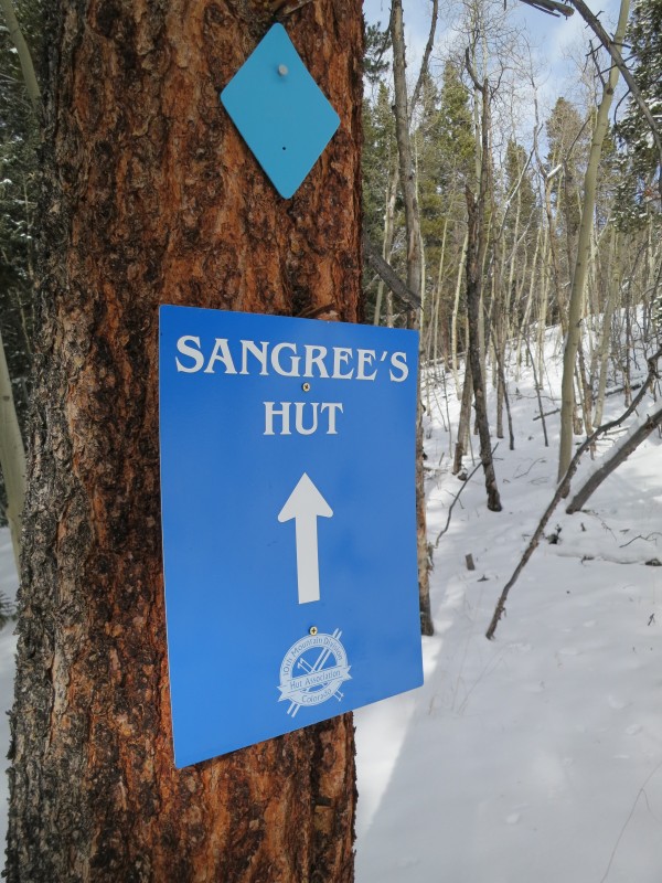
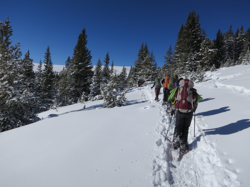
My girlfriend and some of her classmates planned a hut trip over there winter break to celebrate the end of finals. They decided on the Sangree M. Froelicher Hut located between Copper Mountain and Leadville. We left the Dinosaur Parking lots off of I-70 around 9:00 on Wednesday morning and made our way up to the Buckeye Gulch TH. It was slow going with the new snow and an accident by Georgetown eventually slowed our progress to a crawl. Eventually we got to the trailhead, geared up and set off down the trail. The 10th Mountain Division recently rerouted the trail, which starts on the other end of the parking lot. The whole trail is very well marked with the blue diamonds.
Group shot at the Trailhead
Follow the blue diamonds
Shawna, Andy, and Chelsea
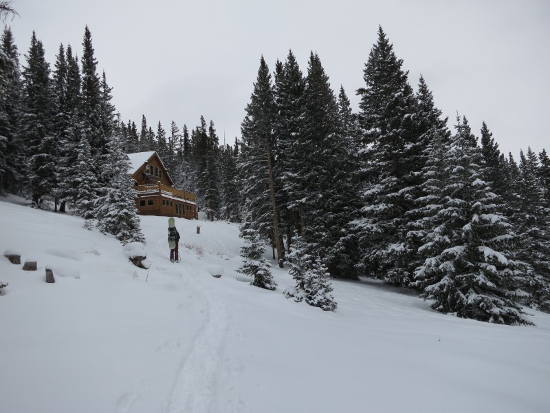
Arriving at the Hut
It was great seeing the hut finally emerge from the trees. It was only three miles but with the amount of food and wine we brought along our packs were really heavy.
After getting settled in at the Hut we relaxed the rest of the day while playing games and talking with the people who had arrived at the hut the day before. Andy and his friend Jess offered at the beginning planning stages to cook the Dinners and Breakfasts. Thank god we all went along with that idea, they were great cooks. The first night we had Chicken Fajitas (My idea of fine dining in the backcountry is freeze dried lasagna)
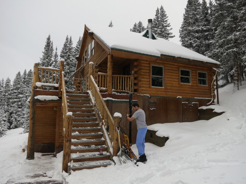
Hut actives
December 19, 2012 - Snowboarding, Skiing, and Snowshoeing
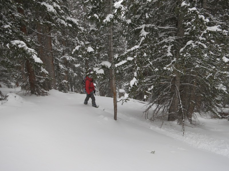
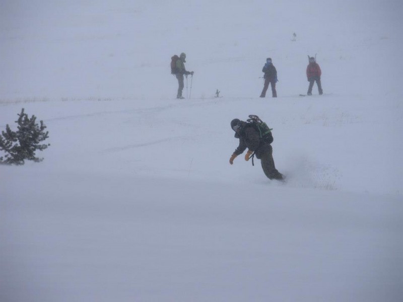
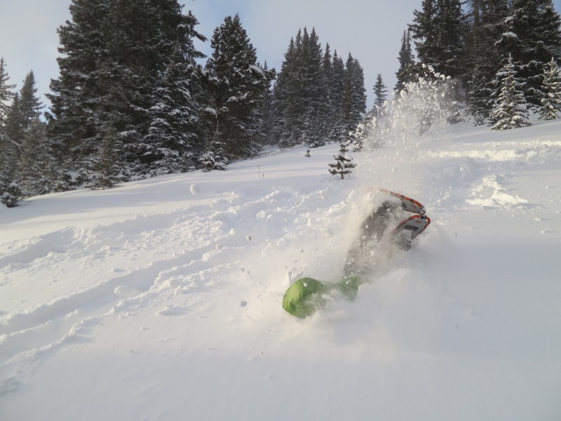
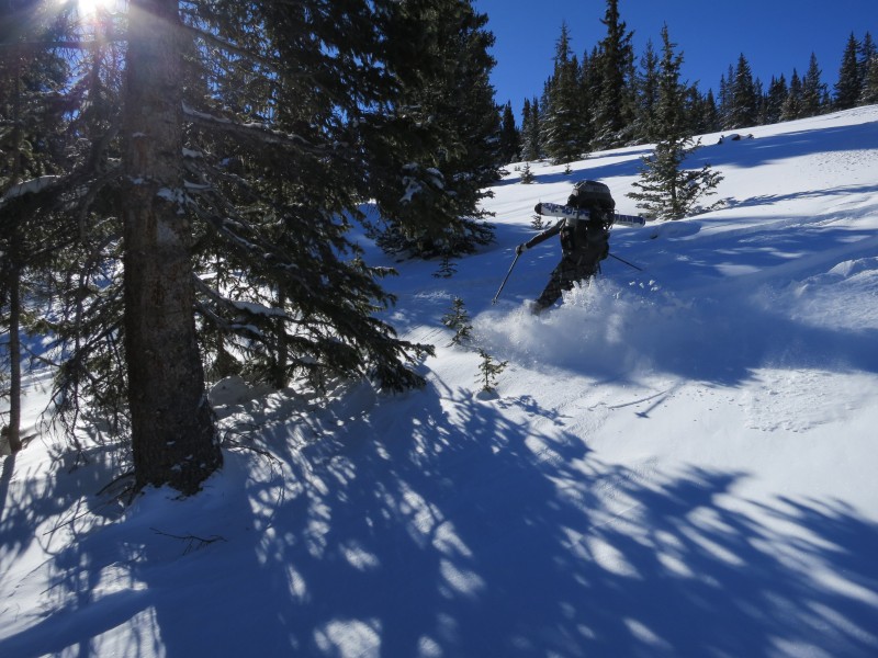
The next morning we all got up and had a breakfast of Chorizo Breakfast Burritos. A weather system had came in during the night and gave us about a inch of new snow, with a lot of cold wind. We knew from the CAIC reports that the snow was very unstable so we stayed in heavily wooded areas on gentle slopes. No shooting cracks or whoomping was observed at all. After snowboarding for a few hours we headed back to the hut for lunch and a few drinks.
Jessica in the trees
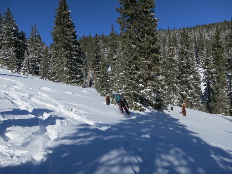
Good snow, but too many rocks!
Andy getting some turns
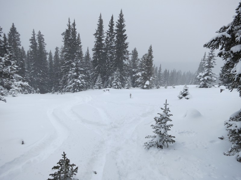
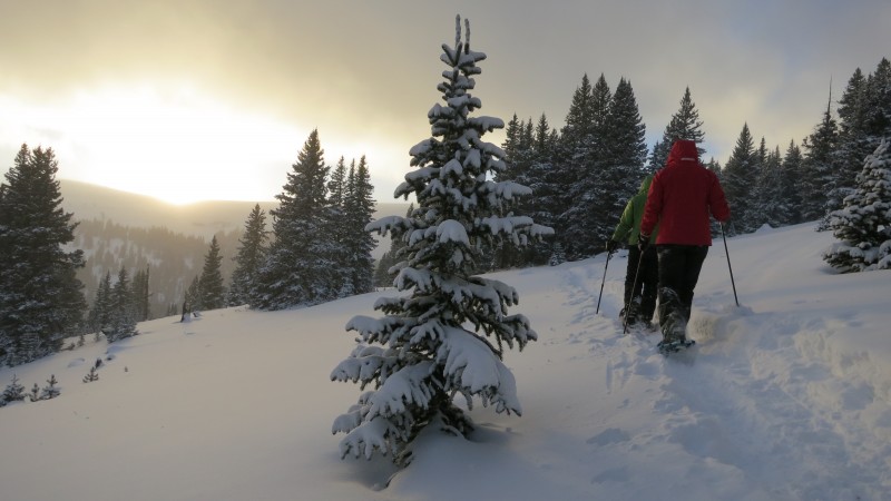
After lounging around the hut, we decided to go for a snowshoe and to practice with our beacons. Jumping in snowshoes is hard.... but it does produce gems such as this below.
Failed jumping photo
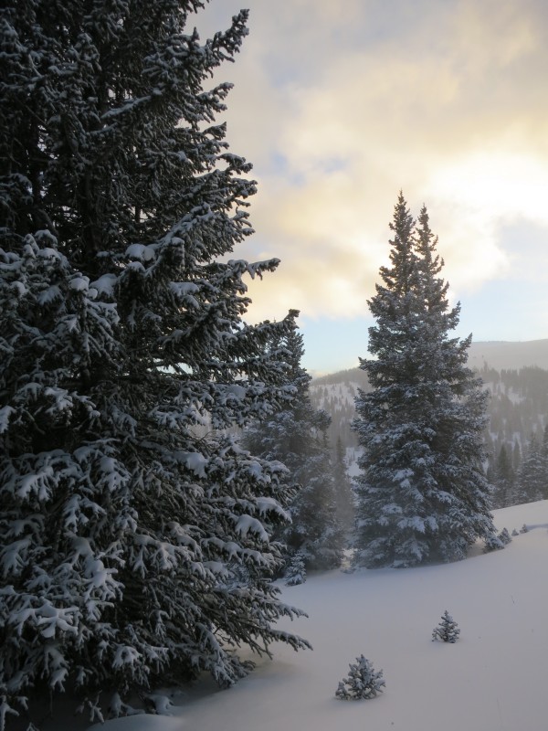
Beautiful way to end the day
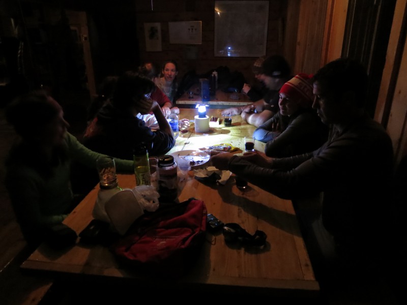
We stayed out until around sundown, and then went back to the hut to warm up. We broke out the wine and beers (Thanks Kimo for the Black IPA from Santa Fe Brewing suggestion, it was delicious) Dinner consisted of spaghetti with elk meat sauce. Then played apples to apples, hung out with the new arrivals to the hut, and had a few more drinks.
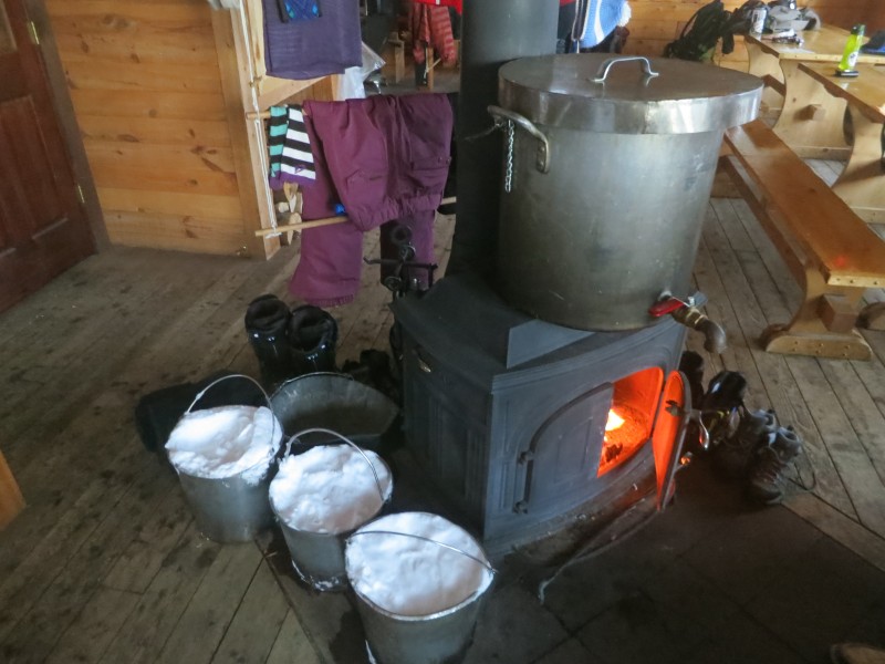
Making water
Having a few after dinner
December 20, 2012 - Buckeye Peak, PT 12254 and hike out
South Ridge - Scott P's Route on SP
Start time: 8:15 am
Summit Buckeye: 9:30 am
End time: 10:15 pm
Elevation Gain: ~1,500 feet
Milage: ~ 4 miles
Company: Solo
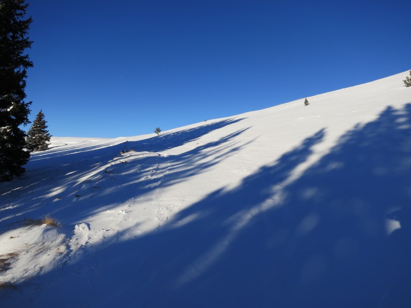
Thursday morning we awoke to blue skies a no wind! My goal for this trip was to hike Buckeye Peak, Mount Zion, and Chicago Ridge on Wednesday but the storm kept me below tree line. Thursday I had some time in the morning before we left to go hike Buckeye. Its a fairly simple hike from the Hut. Behind the hut there is a trail that leads you out of the tree line, and onto the ridge below PT 12252.
Slope behind the hut to the ridge
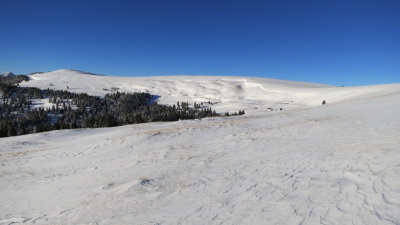
Mount Zion 12,126'
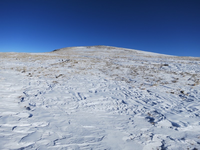
I followed the snow blown trail to below PT 12252 and then headed straight up the slope to the top. The snow wasn't too deep but I did use snowshoes until this point.
Slope to PT 12254
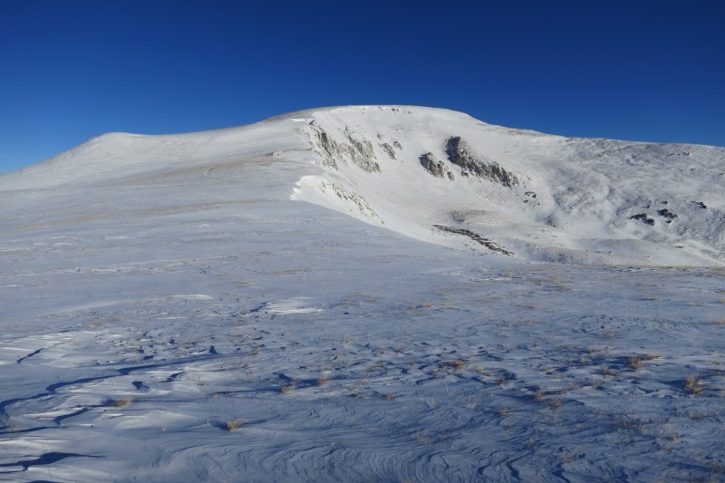
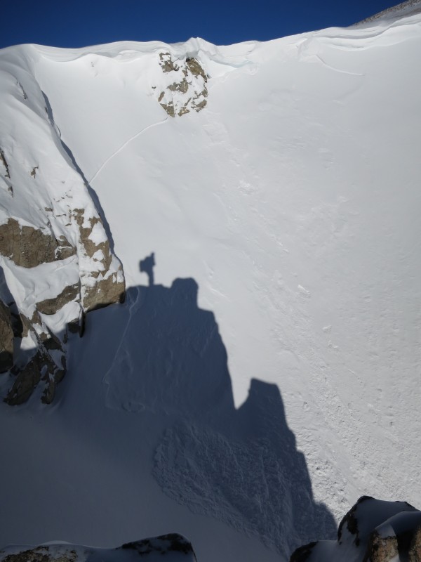
I kept on going north along the ridge and gained the south slope of Buckeye. In Scott P's route description he said to avoid a potential avalanche slope near the "Crux" but today there was no snow on that part to worry about. Below Buckeye's summit there were a lot of Cornice's and a natural avalanche down one of the gullies.
Buckeye Peak
Cornice's below Buckeye
Some natural avy activity
Slope to the summit
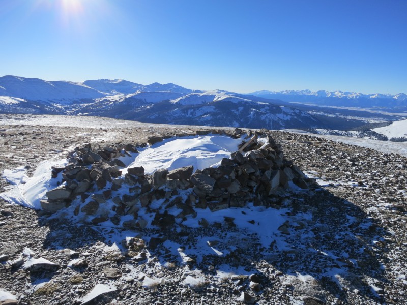
Buckeye Pk Summit
Once on top there are great views of the 13ers to the east "Mount Arkansas, Mount Tweto, and friends" Buckeye Lake is completely frozen and covered with snow. I decided to save some elevation on the way back and use the summer route that goes between PT 12252 and PT 12156 but regretted it because the snow in between was deep and hard to post hole through. Staying on the west side of 12252 would have made things a lot easier.
Ready to head back
After arriving back at the hut we cleaned everything up, packed our things, and were on the trail by 11 am. The hike back to the cars was enjoyable because of the great weather, and our lighter packs.
It takes talent to snowboard with a full pack
The Sangree hut was a great first hut experience, and a good way to spend what could be the last days before the end of the world!
Thanks for reading, hope you enjoyed the pictures.
My GPS Tracks on Google Maps (made from a .GPX file upload):
Thanks for sharing, Dan. I am glad to see you had an enjoyable weekend.
Hope to see you soon amigo :D
Caution: The information contained in this report may not be accurate and should not be the only resource used in preparation for your climb. Failure to have the necessary experience, physical conditioning, supplies or equipment can result in injury or death. 14ers.com and the author(s) of this report provide no warranties, either express or implied, that the information provided is accurate or reliable. By using the information provided, you agree to indemnify and hold harmless 14ers.com and the report author(s) with respect to any claims and demands against them, including any attorney fees and expenses. Please read the 14ers.com Safety and Disclaimer pages for more information.
Please respect private property: 14ers.com supports the rights of private landowners to determine how and by whom their land will be used. In Colorado, it is your responsibility to determine if land is private and to obtain the appropriate permission before entering the property.