Trip Mileage : 13 Miles
Trip Elevation : 2,300'
Trip Time : 8.5 Hours
I'm pretty sure it's no surprise to anyone who knows me or reads my trip reports, but I REALLY like the Lost Creek Wilderness. A lot. It seems that no matter how many amazing experiences and sights I find in the LCW, I keep finding more. This trip was no exception.
As I have done in a number of my previous LCW reports, I have kept details of our route to a minimum, specifically to provide the opportunity of adventure for the next party. I'll let the pictures/captions tell the story. If you would like any additional details, feel free to send a PM.
I was able to round up Brian Thomas and Vonmackle (Cameron) for this trip, which ended up being surprisingly easy considering how hard it is sometimes to find partners for 10ers and 11ers.

After meeting in Morrison to carpool, we headed to the Lost Park Campground/TH and arrived at 7:30AM. The trailhead is located at the end of Lost Park Road, about 20 miles from the intersection with 285 just south of Kenosha Pass and takes about 1.5 hours to drive to from Denver.
The first 4-4.5 miles is a long, easy trek heading east along the Wigwam Trail. The trail gains no elevation over the distance, and in fact loses close to 200'. One is able to move through this part quickly. We left the trail when we were directly Northwest of 10926, then proceeded to bushwhack directly up towards it. After some huffing and puffing, we reached the true start of the fun.
 Morning breaking along the Wigwam Trail.
 Bison Peak looming large above us.
 The day's goal, ahead in the morning haze. (10926 on left, 11230 on right.)
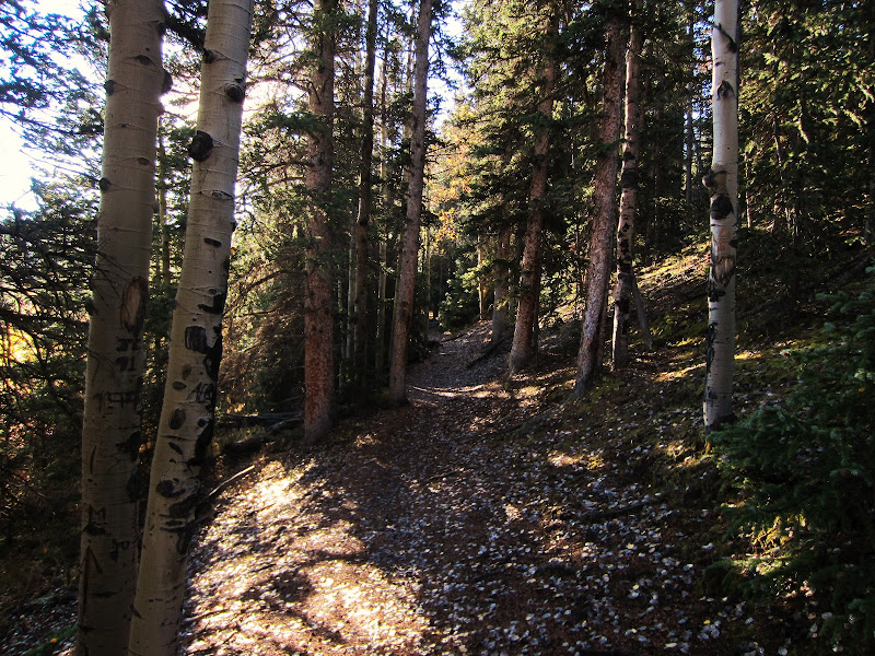 Following the pleasant, smooth Wigwam Trail.
 Wigwam Trail.
 Approaching 10926 on the trail in. Photo by Cameron
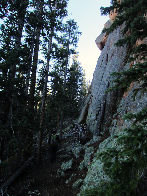 Northwest cliffs of 10926.
 North face weakness on 10926.
 Cameron starting up the north face ledges.
 Brian and Derek on the ledges. Photo by Cameron
 Brian and Cameron exiting from the ledges onto an overlook, Buffalo Peak in the distance.
 Cave number one.
 Unsuccessful attempt to exit cave number one, Brian watching below.
 Cave number two, Derek near the exit. Photo by Cameron
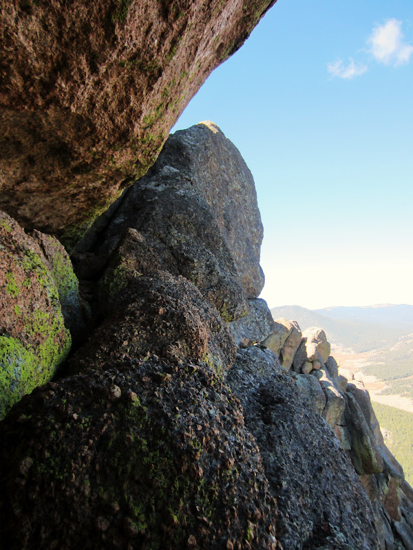 Exit ledge. (Summit ascent option #1)
 Derek on the exit ledge. (Summit ascent option #1)Photo by Brian
 Exit ledge from above. (Summit ascent option #1)
 Headed for "The Crack". (Summit ascent option #2)
Photo by Cameron
 Exiting "The Crack", Brian watching below. (Summit ascent option #2)
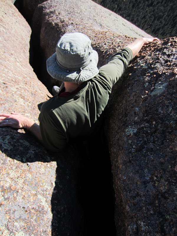 Cameron sucking it in for "The Crack". (Summit ascent option #2)
 Teamwork for "The Crack". (Summit ascent option #2)
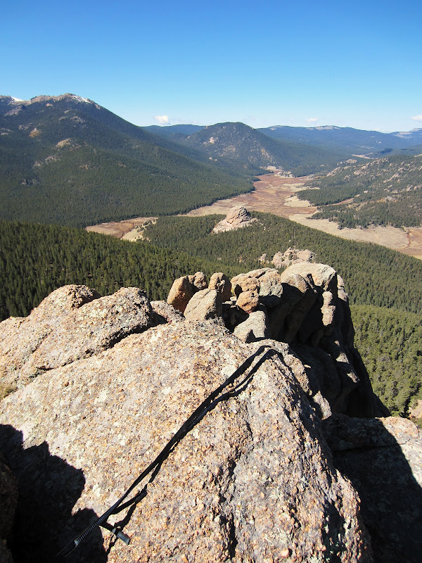 Summit of 10926, looking towards Lost Park with some old slings left over from previous ascents.
 A summit oddity.
 A summit view. (Buffalo Peak on right, Windy Peak just out of view on the left.)
 Descending.
After descending 10926, we continued SE to the next peak: 11230. While there are likely simpler ways to ascend this peak, but we decided to stick with the west ridge.
 Looking ahead at 11230.
 Workin' the cliffs to the base of 11230.
 West Ridge of 11230.
 Chock stone move. Photo by Cameron
 Ascending the chock stone.
 Above the chock stone move, looking down.
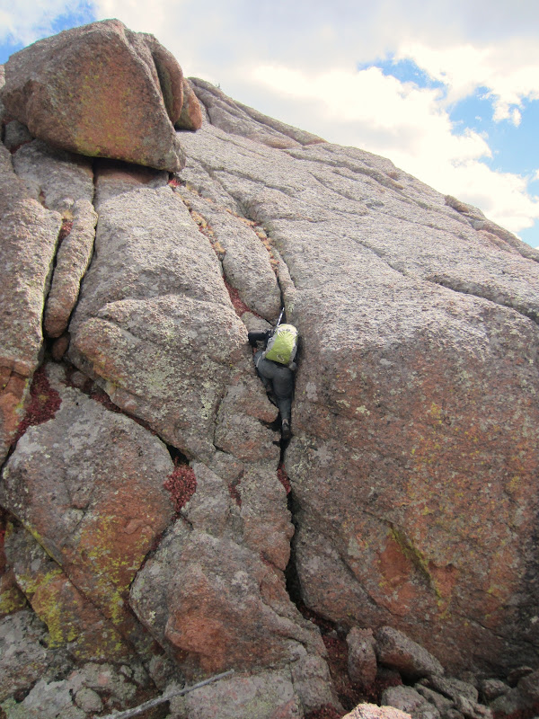 Brian on the ridge.
 Ridge scramble.
 Brian on the ridge, 10926 in the background.
 Cameron topping on 11230 Photo by Brian
 McCurdy Mountain from the summit of 11230.
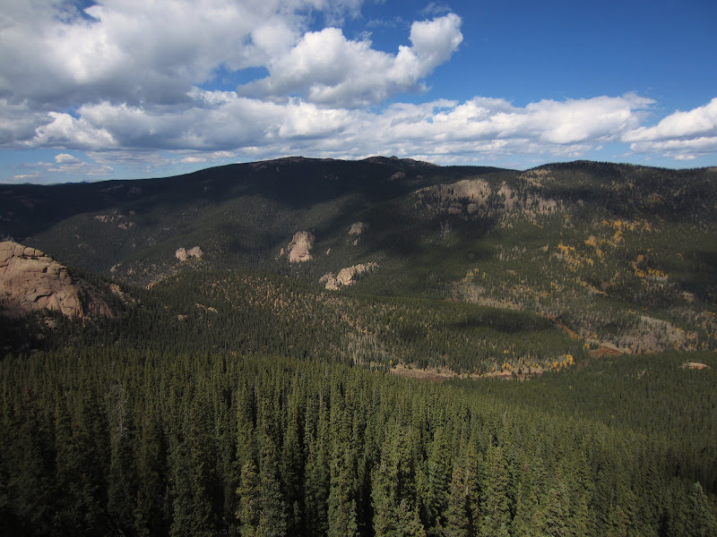 Windy Peak.
 Carefully descending 11230.
 Looking up towards the top of Pt. 10973.
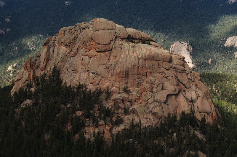 10926 from Pt. 10973.
 "Diving Board" rock on the summit of Pt. 10973.
 Looking back at Cameron and 11230 from Pt. 10973.
 Fall in the LCW. Along the Wigwam Trail.
 Trekkin' home.
 Most exhilarating moment of the day....catching a trout with my bare hands. Photo by Brian.
 Fin
Fin
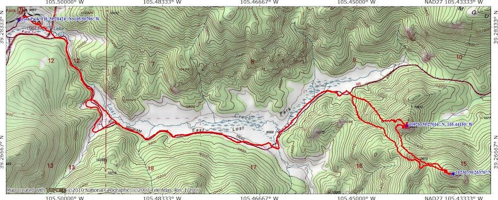 Map of the Day
Another fantastic fall day in the Lost Creek Wilderness.