| Report Type | Full |
| Peak(s) |
Quandary Peak - 14,272 feet |
| Date Posted | 07/27/2012 |
| Modified | 09/17/2016 |
| Date Climbed | 07/25/2012 |
| Author | huffy13 |
| Additional Members | son-of-huffy13, RJ_Denver |
| A Family Affair on Quandary's East Ridge! |
|---|
|
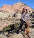
Yes, it's yet another trip report covering the epic and cliffhanging adventure that is Quandary's Standard East Ridge Route. Okay, maybe not epic for most of us that have been on these trails before, but for my wife it was her first time to try a 14er and for my youngest daughter, it was her 2nd attempt. (She started feeling queasy at treeline when we attempted San Luis Peak last August.) So, for these two members of the family, this was a new experience. I had always joked around with her that I wanted to have a summit family picture for our Christmas cards and I was quite shocked back in late May when she told me she wanted to try to hike Quandary Peak with me and the kids when we took our family trip to Breck to get away from the oppressive Texas Panhandle heat in late July. I had reserved our family a few nights at a condo in Breck in late July and we decided that a couple of days there walking around town, hanging out by the river, shopping...pretty much enjoying the town would be a great way to acclimate to the altitude...it really did the job. Anyways, we decided that Wednesday, July 25th would be the day we would head to Quandary Peak's east ridge and try to get that family summit pic. We set the alarm for 4 AM so we could round everything up, get in the van and be at the trailhead by 5:30 AM. We knew that even though this is a fairly short hike, we had one newbie and another relatively newer hiker and that we would be taking our time heading up. 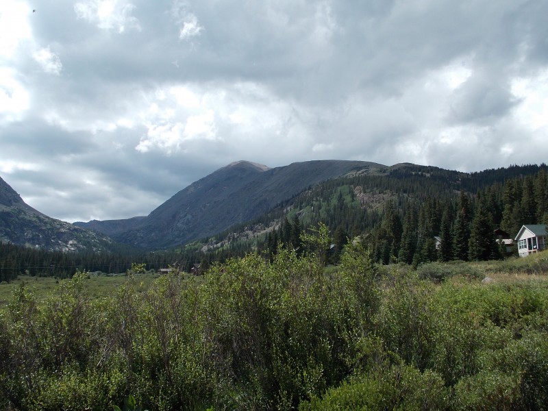 Everything went as planned, we got to the TH right at 5:30 am and hit the trail at about 5:40. 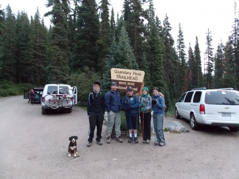 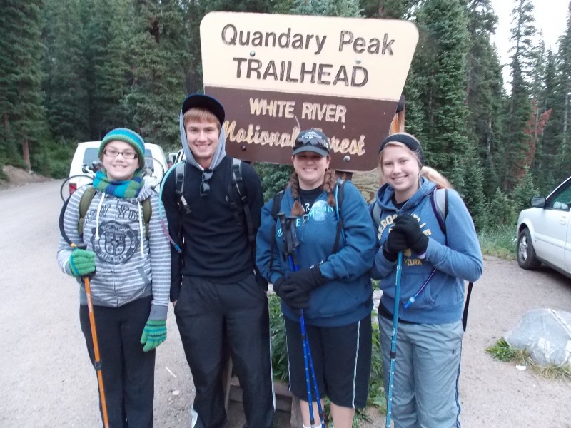 The trail is very easy to follow and is quite gentle for most of the hike below treeline. There are several signs that indicate the trail's direction where old roads or social/wildlife trails intersect the main path. 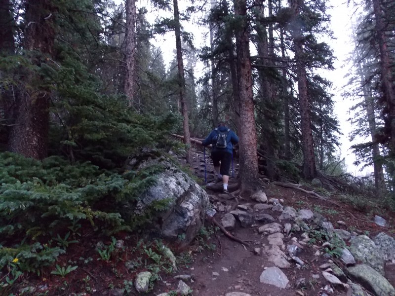 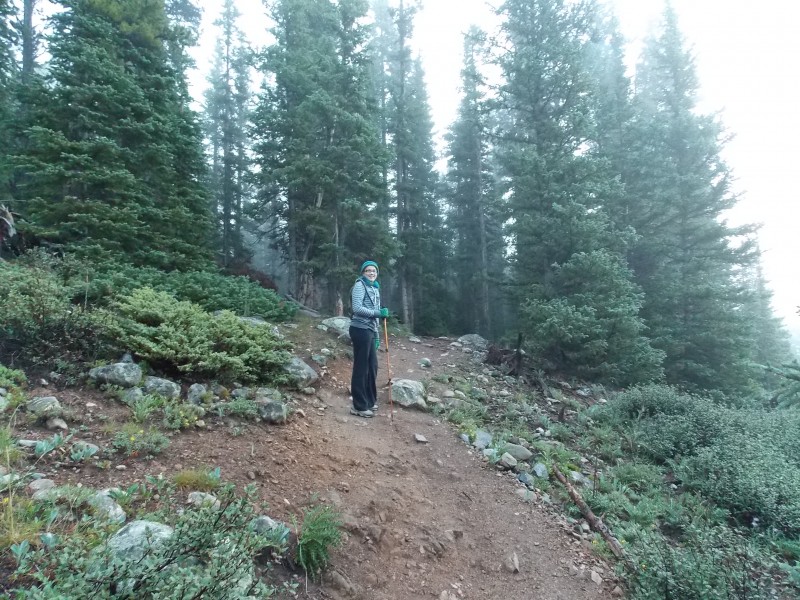 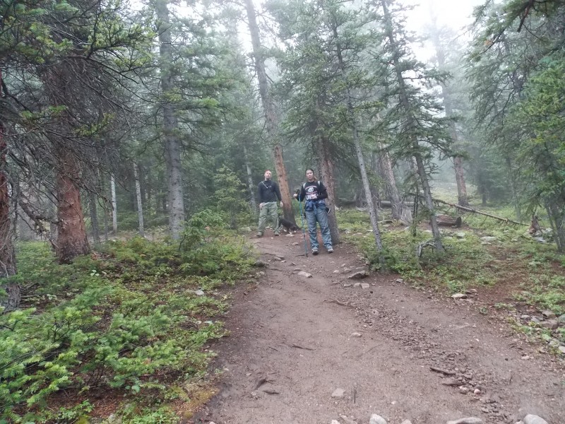 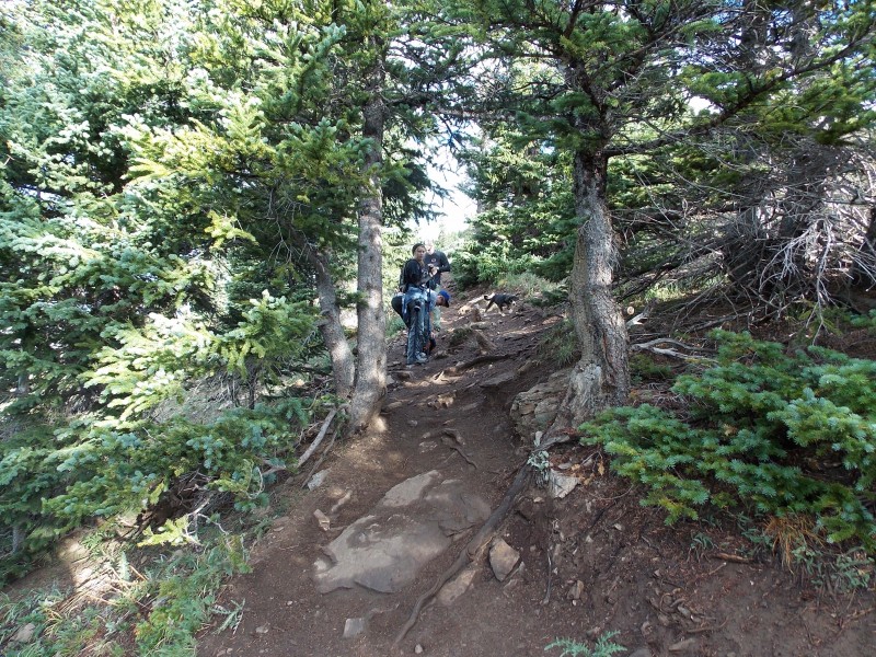 The clouds from the previous night's rains were still lingering and made for some fantastic scenery shots...my daughter thought it was so cool that we were literally hiking above the clouds!  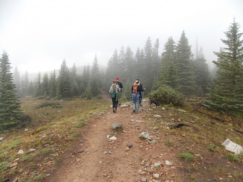 The trail was pretty smooth and gently sloping until we get to treeline, this is where the path starts getting pretty rocky and slightly steeper. My wife learned very quickly that she did not like the rocks at all. This is also where we learned that my wife's tolerance to any kind of exposure is very low. I never really gave any previous thought to this aspect since this route is a class 1 and there really isn't any exposure to speak of...but exposure is perceived differently in each individual. My wife was not liking the slope down the south side of Quandary that the trail hugs along for a long while right after you get above treeline. 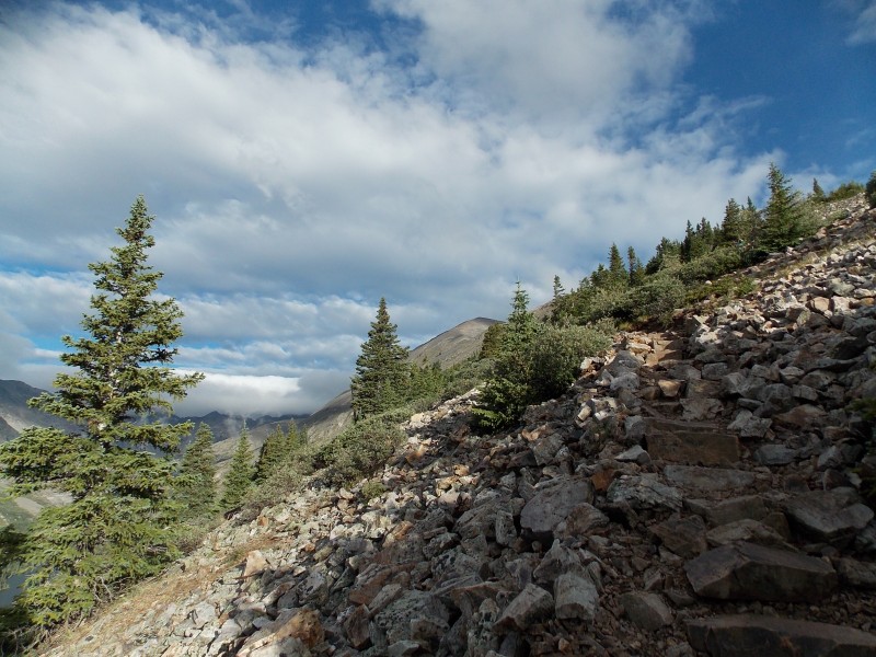 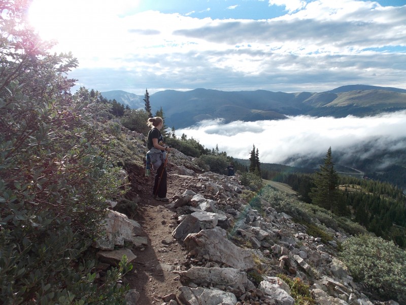 The trail was still pretty clear and easy (for 14er standards) and we trudged along slowly while most of the rest of the conga line this day passed us. There were many people...this was by far the busiest 14er I have been on so far, and this was on a Wednesday!! I can't imagine a weekend. 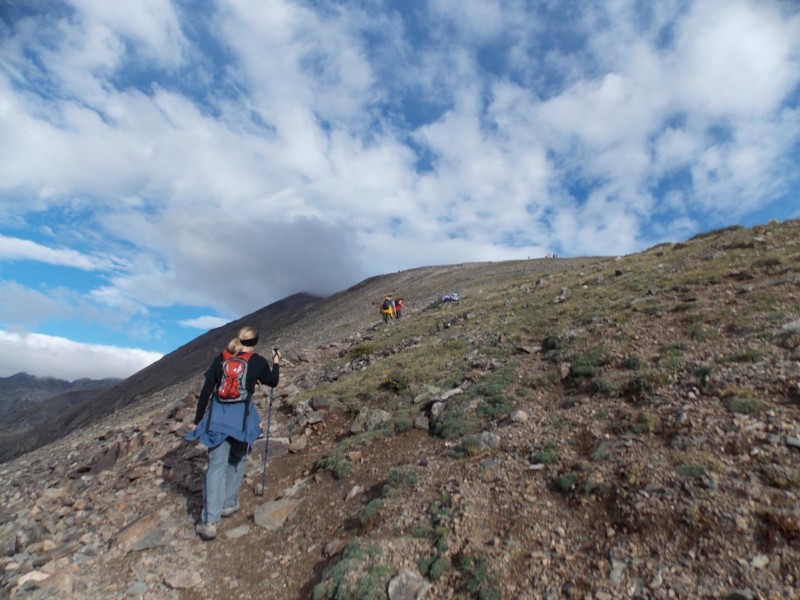  We slowly made our way up the rocky ridge and looked up to Quandary's summit that was really starting to look close. My wife was really having to overcome her anxiety, I assured her that if she wanted to stop, we could and that there was absolutely nothing wrong with turning back...but she really wanted to keep going. I think I may have seen just a glimmer of summit fever in her eyes. At about 12,600 ft. my daughter started running out of gas too. My wife pushed her along and once we got to 12,800 ft, we knew that she wasn't going to have enough juice to make the summit. My wife and I managed to talk her into hiking up just a couple hundred more feet to a spot that my son and middle daughter and RJ_Denver were waiting at in a small rock wind shelter that sat right at 13,000 ft. This is where my wife and daughter decided they would take a rest and let the rest of our group continue on to the summit. We knew it was already a long day for our newbies and pushing it further was not going to improve our odds of having a good day. We got a family picture at this point, got my wife and daughter settled in to the windbreak and started our ascent on the steeper, rockier ridge that led up for the next 1,200 ft to the summit. 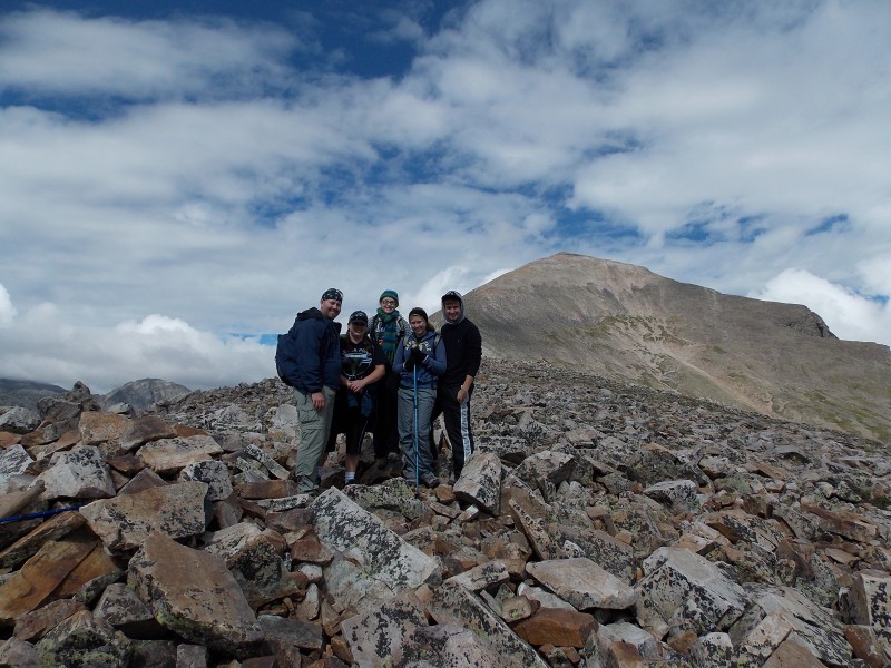  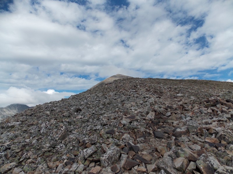 While a little steeper and rockier, the ridge is still a solid class 1. The rock is pretty solid and there is no exposure that should be an issue. Just rocky. 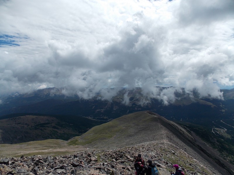 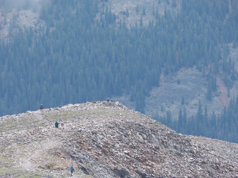 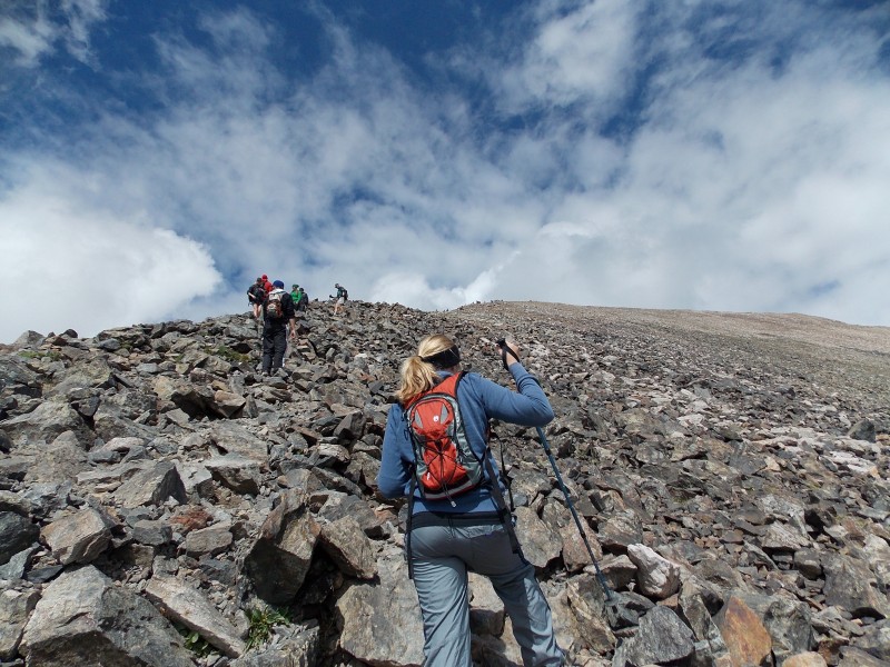 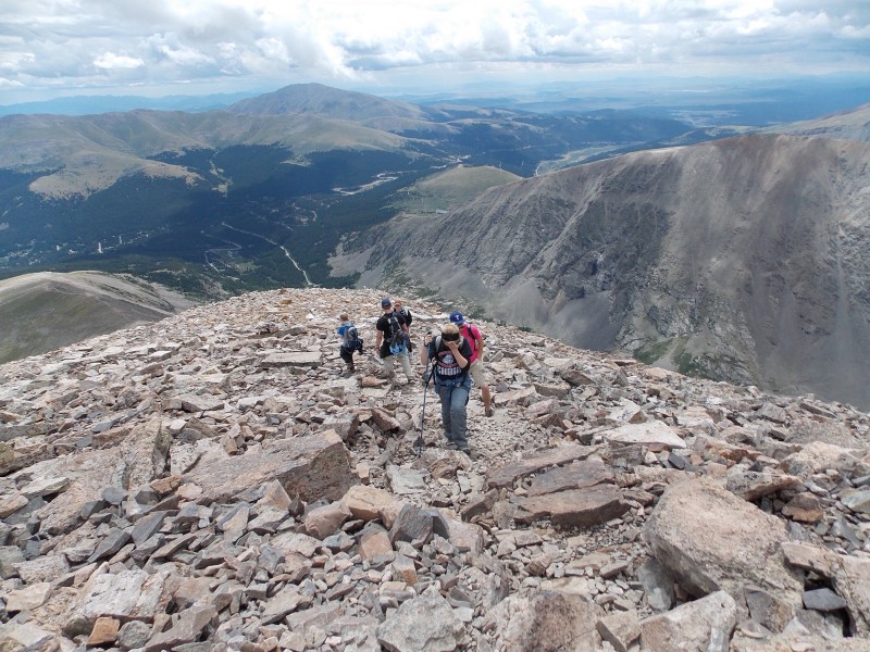 We worked our way up , and after about an hour from where we left my wife and daughter, we reached the gentle last hundred yards or so along a fairly level ridge. 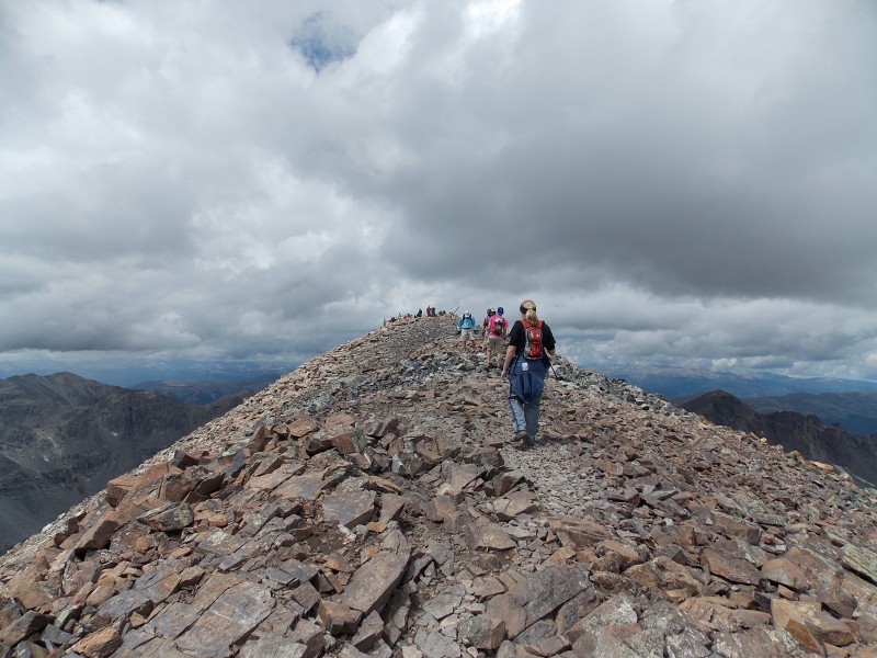 Before we knew it we were on the summit of Quandary Peak...my 16th 14er summit, my son's 8th and my middle daughter's 4th. 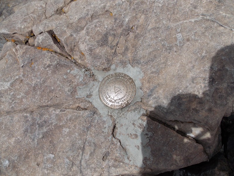 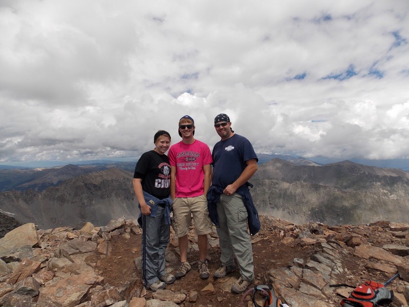 The views from Quandary's summit were awesome, despite the low clouds that were still moving through the area (though none looked threatening at the moment). 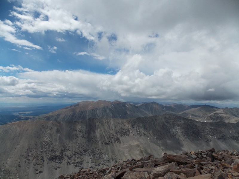 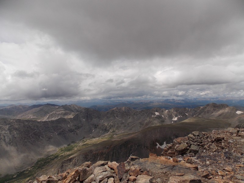 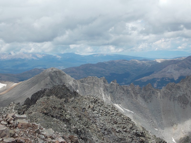 After about 20 minutes on the summit, we decided it was time to head back and reunite with the wife and kiddo. 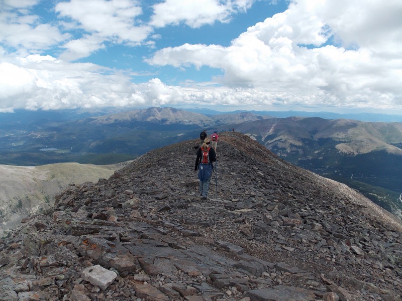 The clouds broke for a bit on the way down, providing some more views that we did not have earlier in the hike.  As well as some furry critters that I finally got to see on a hike. (And no, it wasn't a marmot or pika) 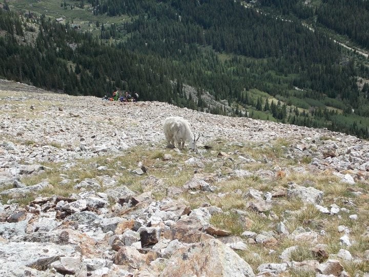 We got back to the TH right at 2:30 pm...a long day, but well worth the effort. Everyone was zonked out by 9 that night and we checked out the next morning, headed to Golden for a brewery tour, dipping our legs in the cold waters of Clear Creek and then to Mannie and Bo's Pizzeria to fill our bellies before the long drive back to Borger, TX...elevation 3000 ft. 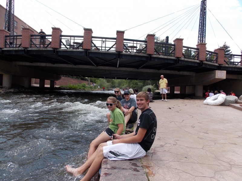 Overall, a great 4 day break from the awful heat and a much needed family vacation. Doesn't get any better than that. Now for my insight and thoughts on this hike: This is truly a Class 1 hike...it's short and never was exposed for anyone that has any tolerance for it. My wife was very uncomfortable with it and we learned a lesson; her tolerance for exposure is extremely low. She felt physically great for the whole hike, just did not like the rocks and the slopes. But that's OK...we all have limits that vary. Make sure you bring water if you are doing the standard East ridge route. There was no water or streams along the standard route, so be aware of that. I would still start early, the clouds held off long enough for us but it did start sprinkling on us right as we got to treeline on the way down. The sun rising over the front range did make for some great views. The trailhead is easy to get to with any vehicle, just remember that it is Blue Lake Road that you turn on to. Other than that, it is a good, trail and could probably be a good hike for a first timer....nothing that would keep me from recommending it to a noob. That is for me on this one...looking forward to next weekend at Horn Fork Basin with Flood and a couple of his friends for an attempt at the Harvard and Columbia combo. Hopefully I'll have a good report on that soon. Happy Trails!!! Thumbnails for uploaded photos (click to open slideshow):
|
| Comments or Questions | ||||||
|---|---|---|---|---|---|---|
|
Caution: The information contained in this report may not be accurate and should not be the only resource used in preparation for your climb. Failure to have the necessary experience, physical conditioning, supplies or equipment can result in injury or death. 14ers.com and the author(s) of this report provide no warranties, either express or implied, that the information provided is accurate or reliable. By using the information provided, you agree to indemnify and hold harmless 14ers.com and the report author(s) with respect to any claims and demands against them, including any attorney fees and expenses. Please read the 14ers.com Safety and Disclaimer pages for more information.
Please respect private property: 14ers.com supports the rights of private landowners to determine how and by whom their land will be used. In Colorado, it is your responsibility to determine if land is private and to obtain the appropriate permission before entering the property.