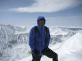
On Saturday, July 21, 2012, our team (My dad, brother, and I) set out for the summit of North Maroon Peak after having conquered South Maroon on Wednesday, July 18, 2012. We were not about to attempt the traverse given the exposure and the high levels of safety we try to hold ourselves to.
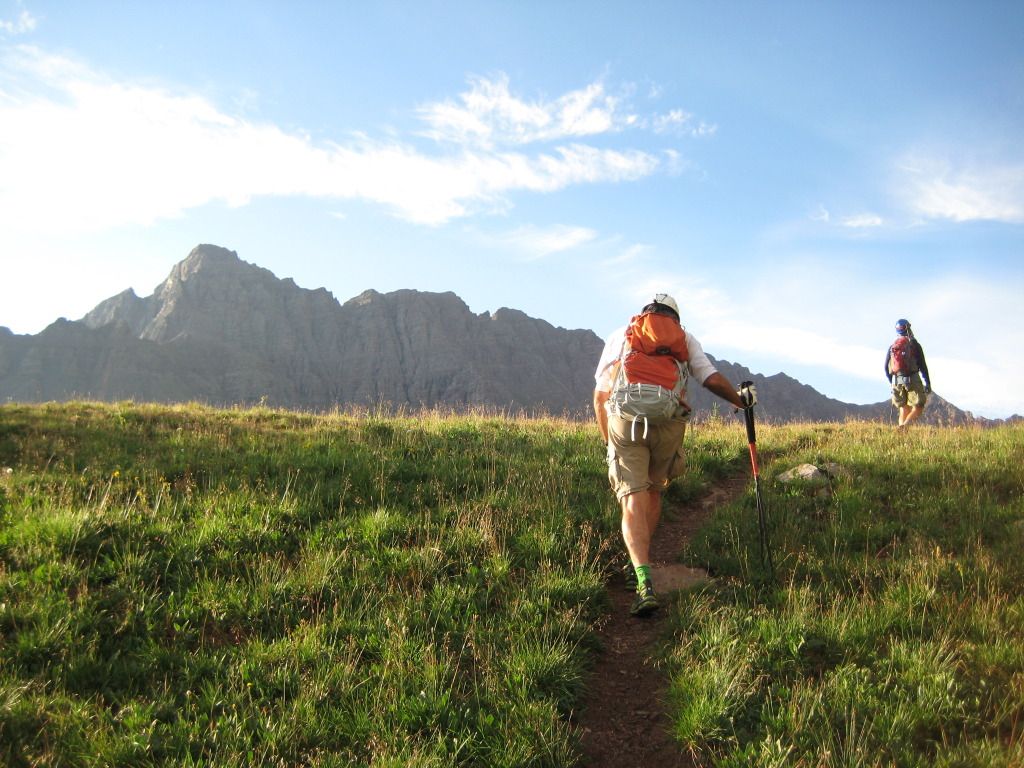
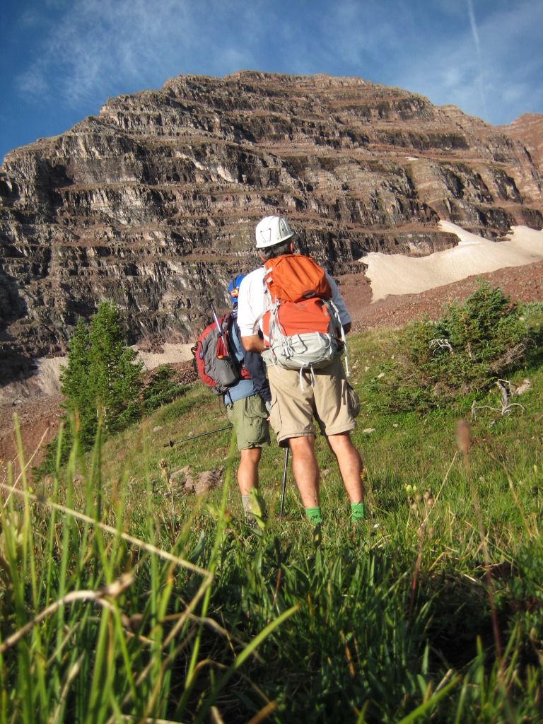
Our day started out in Frisco as we woke up at about 1:15 AM in order to be on the road by 1:30. We arrived at the Maroon Bells parking lot a little before 4:00 AM and hit the trail. The air was exceptionally warm already and we were shedding clothing within the 1st mile down to short sleeves and shorts. The hike up to Crater Lake and to the trail junction went quickly and without incident since we knew it well from doing the same hike up South Maroon a few days earlier.
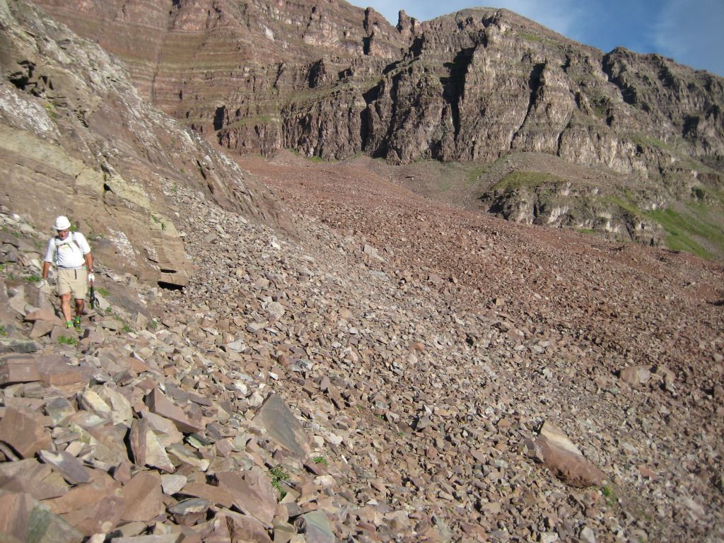
The trail is excellent leading up and out of the Crater Lake area over to the Northeast side of North Maroon Peak, all the way up until you cross the stream running down the valley. There is a pile of wood on your right just before the crossing which looks like someone may be building a bridge over the stream sometime soon. The Rocky Mountain Youth Corps had a team of about 20 people working on a new trail above the stream crossing on the Northeast side of North Maroon Peak. The current trail, which we took, winds up the side of the mountain through some steep willow encroaching slopes. This portion of the trail would not be fun in the rain as the willow roots and mud stick out of the ground and make things slick.
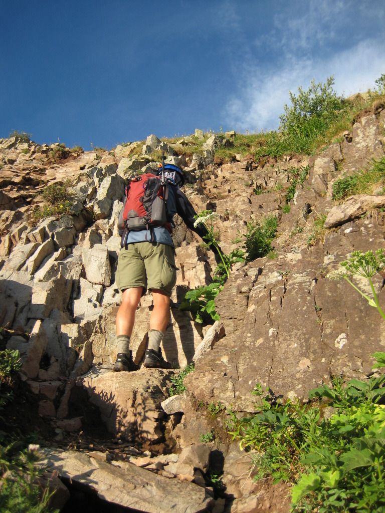
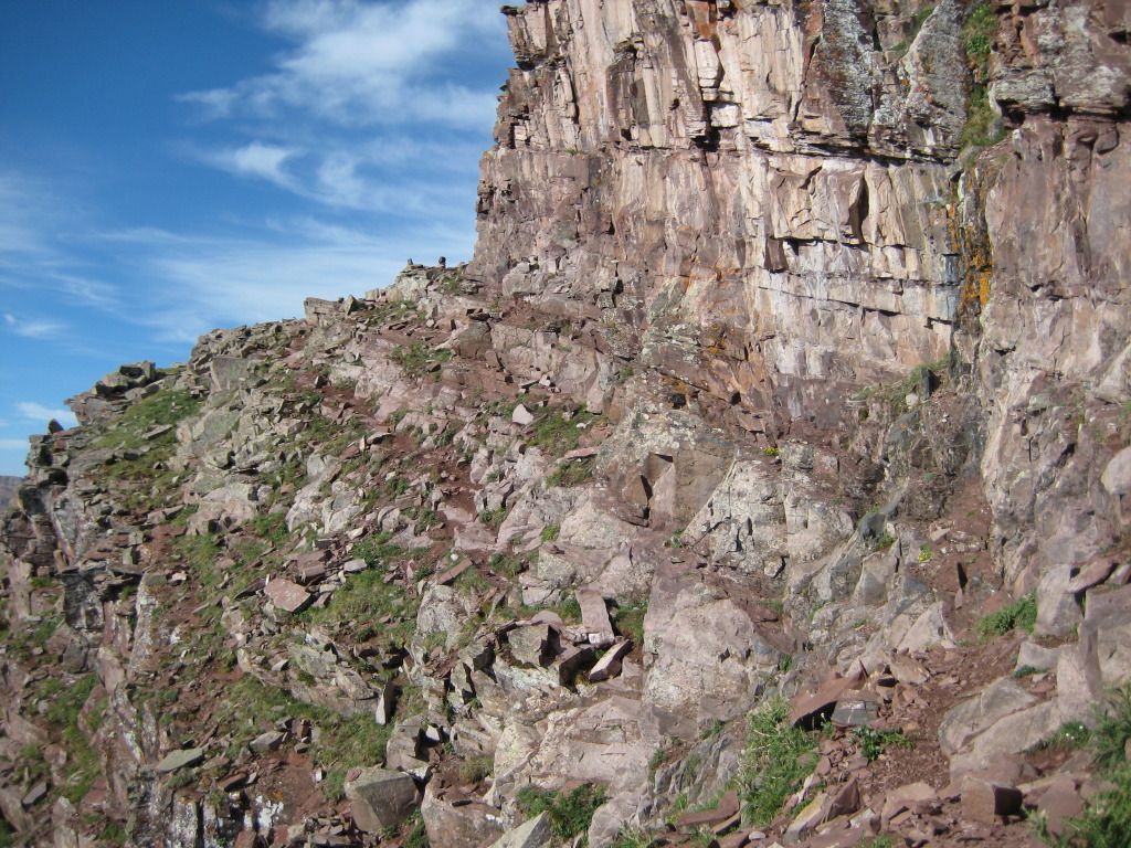
Once you make your way up to the top of the Northeast face, there are two obstacles to tackle before the rock glacier. First, the rock wall.
The Rock Wall is not too difficult because the hand and foot holds are all great. The approach up to it is steep and the ground on top is slightly slanted down but it is manageable. Next, before you make it up to the meadow before the rock glacier, you climb the rock staircase.
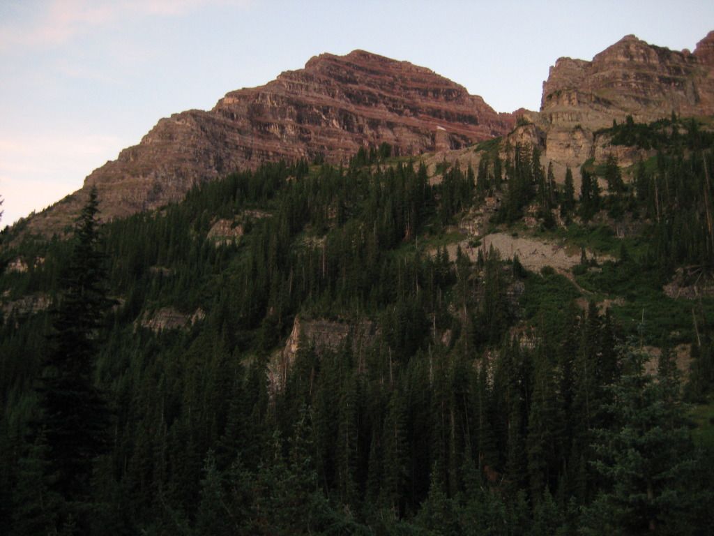
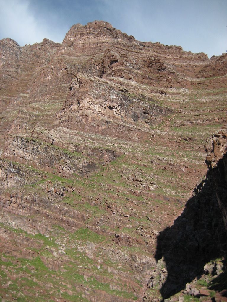
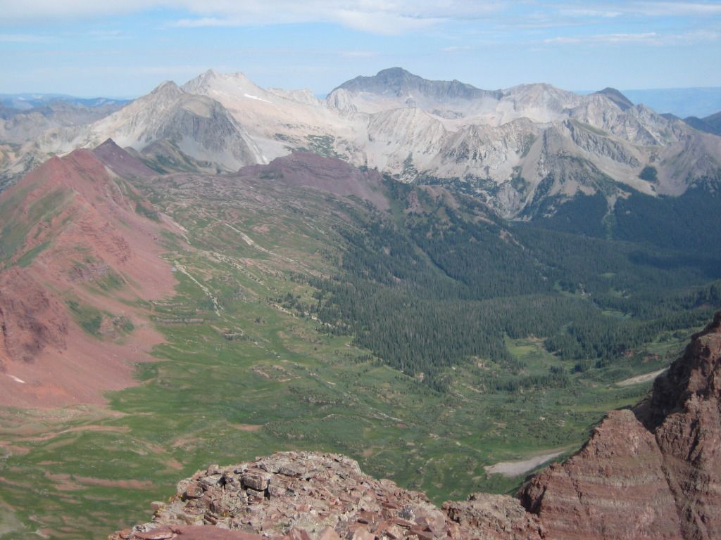
After the rock staircase, you are taking a breather and enjoying the mountain meadow before the rock glacier. The views from the meadow are excellent. Check this one out with Pyramid in the background:
Here is one looking from the meadow up to North Maroon Peak:
After you enjoy a few breathers on the flat land of the meadow, you make it to the beginning of the rock glacier. The rock glacier has some cairns across it but it is at times hard to follow. As long as you stay slightly higher when moving across, you will hit the correct exit point. This portion of the hike really did not take us as much time as others said it took them. But, everyone is different.
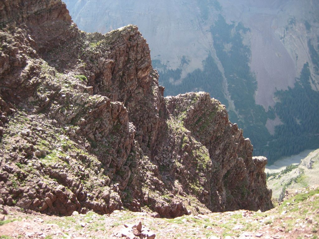
After the rock glacier, the real fun begins. You start traversing across the East side ledges in order to make it to the first gully.
Once you reach the bottom of the 1st gully, you have some work to do. The gullly is steep but at least you have a pretty easy to follow trail that just makes it a grind. Here is video of the 1st Gully:
At the top f the 1st Gully you will see where to cut over to the 2nd given the cliffs above you and the cairn on the left side. After traversing over a few more ledges, you arrive at the bottom of the 2nd Gully with one of the most breathtaking views of the climb. The shear face of North Maroon Peak hits you with a furry. Here is video of the traverse from the 1st gully to the 2nd:
Here is a view at the bottom of the 2nd Gully:
Video at the bottom of the 2nd Gully:
The weather better be good and the body in shape to continue from here as things start to get tough, real quick. I think this picture of my brother sums up what you are thinking at the bottom of the 2nd gully:
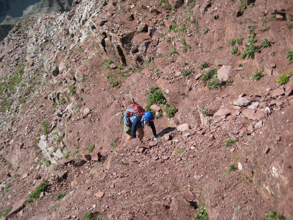
At this point, my dad decided to stay at the bottom of the 2nd gully as my brother and I continued on. The climb up the 2nd gully begins with some good trail that is not any steeper than the 1st gully. So you start to feel good about the climb at the beginning and your confidence builds. Well, about half way up, route finding turns to crap, the slope gets steep, exposure develops, and it's just one class 3 maneuver after another. Here are some pictures looking down the 2nd gully:
Once you reach the summit ridge, the fun is still going as things get steeper and more difficult. Here is a video of reaching the summit ridge. You can see down and to the right of the 2nd gully:
Just before this point, we just about had a turnaround moment as some cliffs stopped us in our tracks. However, after route finding all the way over to the right side just below the top of the ridge, we found a way to climb above the cliffs which kept us going.
Once you reach the ridge, the next obstacle to tackle is the infamous chimney. The chimney turned out to be a little more difficult than what we expected but it is doable without any technical skills. The first and last moves you have to make are the most difficult. Starting out at the bottom, the rocks slant outward slightly making this a fun beginning:
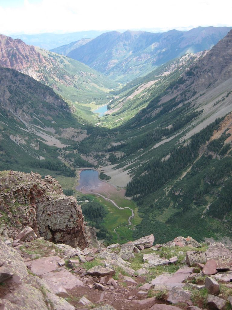
After the chimney, your tough climbing spots are not done. There are two more class 3, exposed locations with steep drops that you must take on. However, before these, you get a nice break up on the precipice and a fabulous view of the valley below.
Here is a picture of me out on the tip of the precipice:
Here is video looking off of the precipice:
Here is another video showing the climb up the summit ridge. It is magnificent!
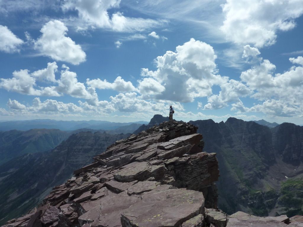
Once you break out above the last two class 3 maneuvers, you have the last 100-150 feet or so to the summit as nice easy trail. It was a blessing given what you just did. Here is the summit panorama:
The views of Pyramid, Snowmass, and Capitol are excellent from the top:

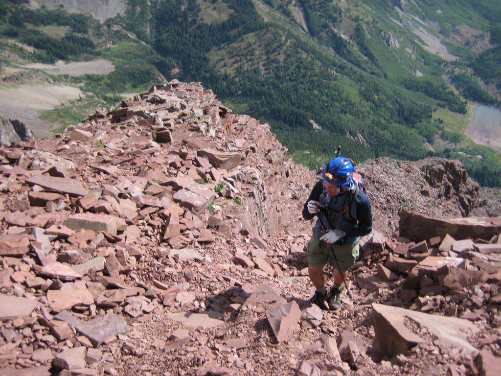
The hike down the mountain proved to be even harder than the hike up. All of the class 3 sections make you stop for a second in order to figure out the best and safest way down. Nothing really stopped us for long in our tracks until we got back down to the chimney. We looked at it again and said, "wow, this didn't seem so hard coming up." In all reality, the chimney is not that hard, it's just the first maneuver on both ends that makes you feel a little bit weary. Once you make that first step down into the chimney from the top, you are good to go. For safety, I went up to the ledge of rocks above the chimney about 10 feet up and set up a belay. While my brother down climbed the chimney, I belayed him from the top just for safety sake. I anchored into the rocks 10 feet above in case he fell. Everything went well as I down climbed the chimney with my brother spotting me and helping with foot holds. The rest of the hike down went as planned and the day turned out to be a great success.
Out of the 46 fourteeners I've now done, North Maroon Peak proved to probably be the most difficult MENTALLY given the continuous exposure and steep slopes. (I rank it above Little Bear, Crestone Peak, Crestone Needle, South Maroon Peak, and Pyramid.) The rock is crappy and the route is difficult to find at times. The "Deadly Bells" sign at the bottom of the trail truly is a reminder that these are difficult peaks and not something to mess around on. Nevertheless, the day was a great success and I enjoyed North Maroon and the challenges she provided. #46 down and 8 more to go!
|