Download Agreement, Release, and Acknowledgement of Risk:
You (the person requesting this file download) fully understand mountain climbing ("Activity") involves risks and dangers of serious bodily injury, including permanent disability, paralysis, and death ("Risks") and you fully accept and assume all such risks and all responsibility for losses, costs, and damages you incur as a result of your participation in this Activity.
You acknowledge that information in the file you have chosen to download may not be accurate and may contain errors. You agree to assume all risks when using this information and agree to release and discharge 14ers.com, 14ers Inc. and the author(s) of such information (collectively, the "Released Parties").
You hereby discharge the Released Parties from all damages, actions, claims and liabilities of any nature, specifically including, but not limited to, damages, actions, claims and liabilities arising from or related to the negligence of the Released Parties. You further agree to indemnify, hold harmless and defend 14ers.com, 14ers Inc. and each of the other Released Parties from and against any loss, damage, liability and expense, including costs and attorney fees, incurred by 14ers.com, 14ers Inc. or any of the other Released Parties as a result of you using information provided on the 14ers.com or 14ers Inc. websites.
You have read this agreement, fully understand its terms and intend it to be a complete and unconditional release of all liability to the greatest extent allowed by law and agree that if any portion of this agreement is held to be invalid the balance, notwithstanding, shall continue in full force and effect.
By clicking "OK" you agree to these terms. If you DO NOT agree, click "Cancel"...
The title Jackpot doesn't refer to a big payoff, but getting yourself into a real place of trouble, as in, "I totally forgot my girlfriend's birthday and got myself into a jackpot." Yesterday I did Humboldt, Kit Carson, and Challenger. Not since I did Capital did a climb occupy my mind so intently the next morning. I'm feeling a little shaken.
John Kocktoasten and I had burgers in Westcliffe and got to the gated parking lot on Saturday night about 8:00. We took the pack trail directly toward the lakes and found a place to set up camp about ten minutes from the junction with the main trail at South Colony. I don't understand why this pack trail isn't more popular- great trail, and much shorter.
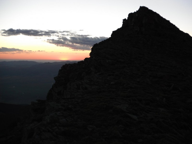
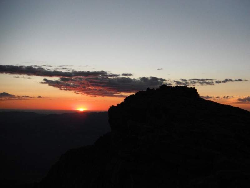
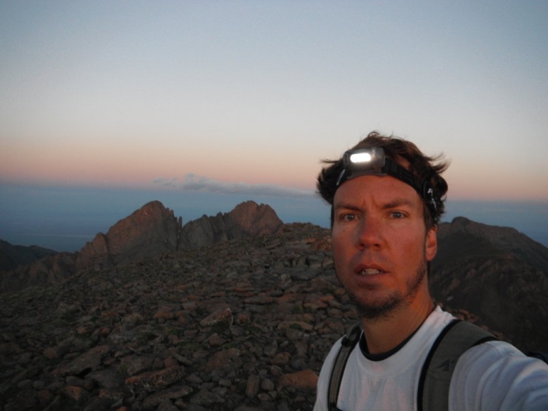
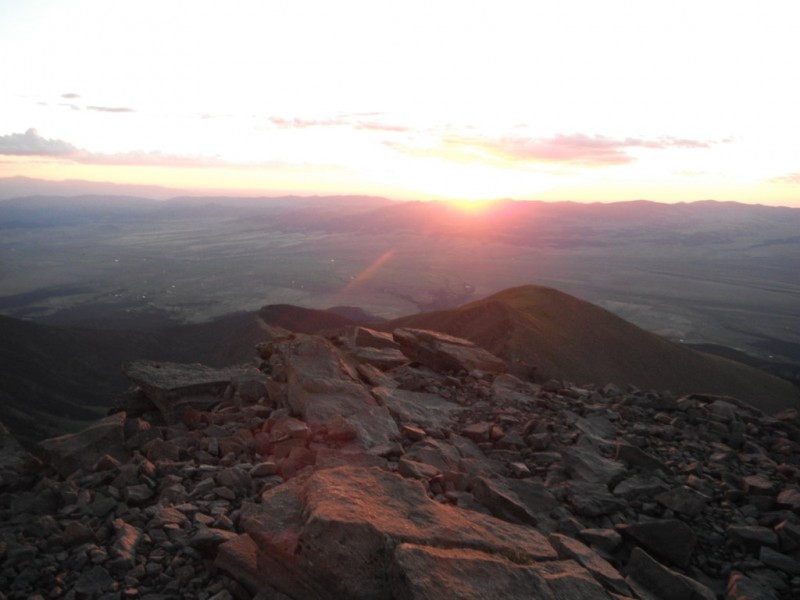
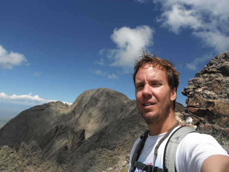
After a sleepless night, with wind whipping outside the tent, I got up and on the trail at 4:36. The plan was sunrise on Humboldt, then across to Challenger and Kit Carson. Last week I missed a sunrise summit on Quandry by 15 minutes, so I was hustling up the ridge, determined not to let that happen again. At just at 6:00 I topped out on the final pitch, just as the sun popped over the horizon. It was cold and a bit windy, but what a happy moment in a very beautiful place! I did wish I could share it with my wife, and my thoughts also turned toward the Talusmonkey, but it was perfect to be alone for those few minutes.
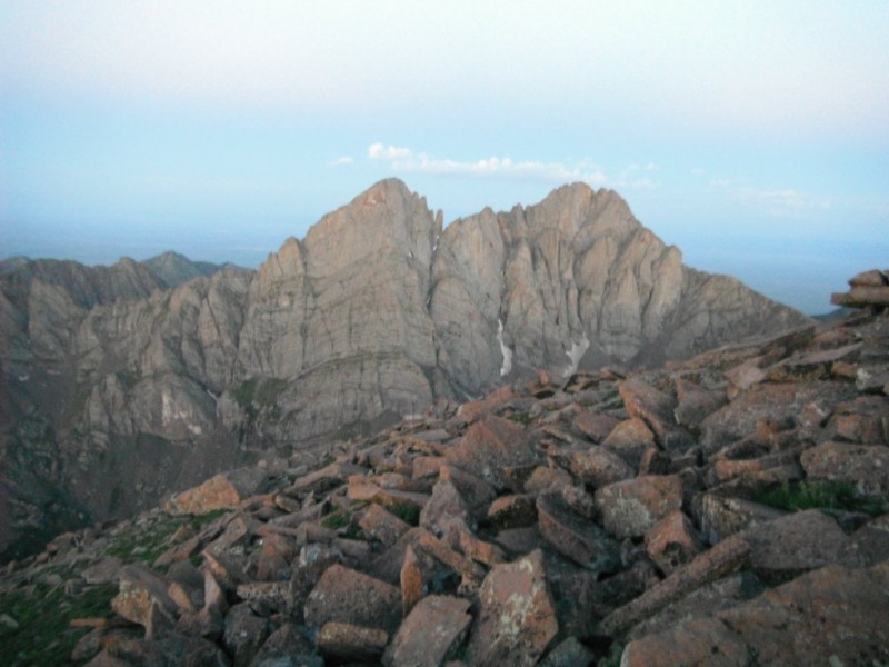
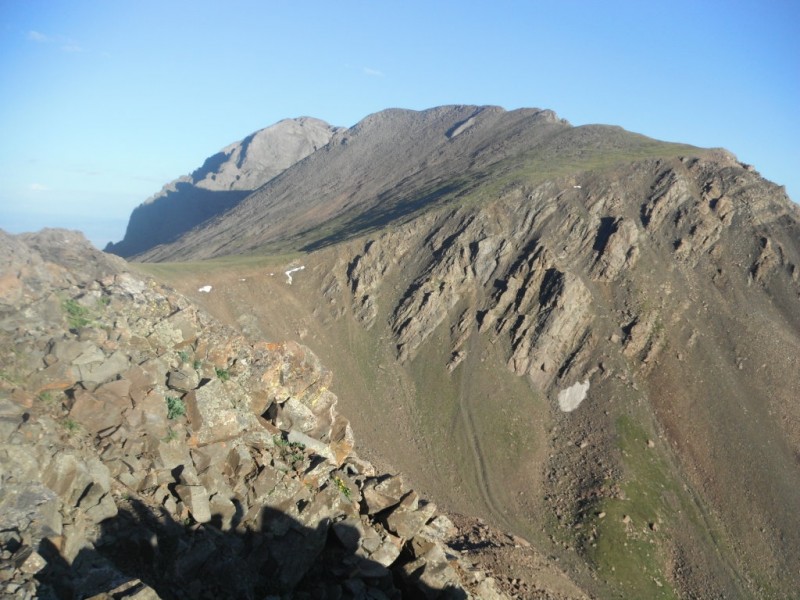
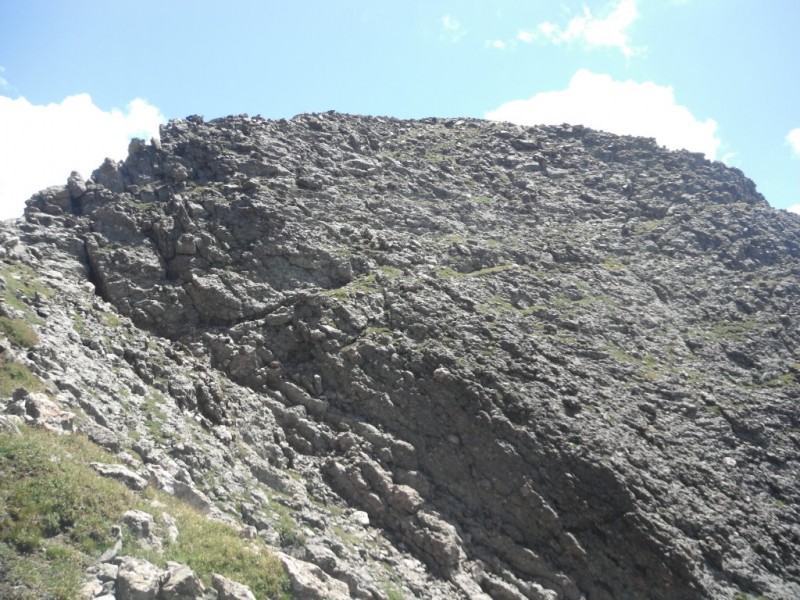
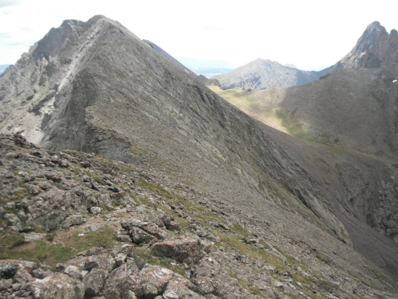
sleepy Crestons
I had miles to go, so after a quick rest and a bar, I was off down the saddle. At 6:38 I reached the saddle and began the ridge. There are a few slight trails going off to the right, but I think it would be better to stay on top for the first part. Not much for route finding- toward the end there is a trail that drops off to the north, saving some elevation gain, and a bit of enjoyable scrambling. I was enjoying myself quite a lot and making good time.
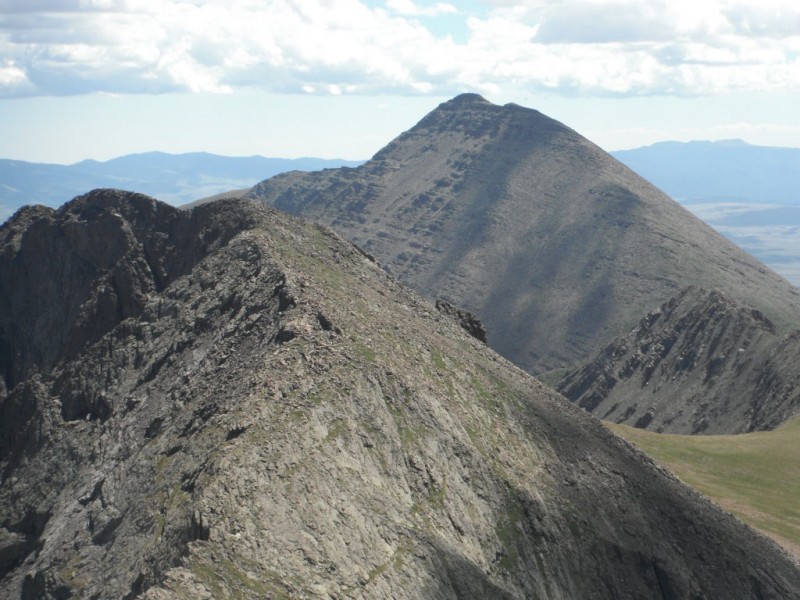
Humboldt saddle along the ridge Obstruction Point on right, Columbia Point on left, KC barely peaking over the top
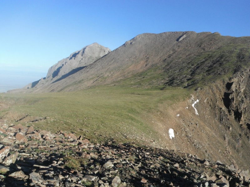
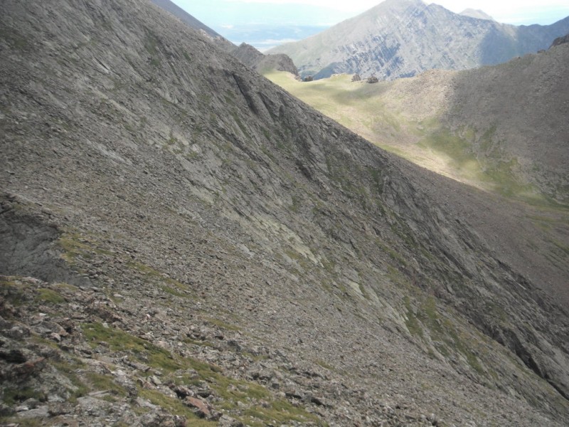
By 7:23 I was in Bear's Playground, singing "Bears" by Lyle Lovett. Obstruction Point is the first peak coming up on the right, but I got the idea to swing around the side of it and gain the saddle between it and Columbia Point. There was quite a bit of talus, but I think it did save some time. Once I swung around and the saddle came into view, there was a row of cairns leading the way. If you're not intent on summiting Obstruction Point, I would recommend this shortcut.
Columbia Pt comes into view path on the right
Columbia Point is somewhat steep, and I got off trail, sticking more toward the middle. On the way down, I found that there is a loose but helpful path that hugs the right (from the bottom) side. It didn't take long, and checking my watch, I was ahead of my schedule, just after 8:00
At this point, things got confusing, and I stopped taking many pictures, noting times, or even enjoying myself. I had researched the route pretty well, and it was claimed in multiple places that the route finding would be fairly straightforward from here. What's more, years ago I found myself on Columbia Point with a friend on accident, and we found a way pretty quickly over to Kit Carson. In the parking lot the day before, I got some advice from two climbers who had done this on Saturday- "the cairns are confusing, but you need to actually take the gully to the south, and then find a ledge system that will lead around." Easy enough, I thought. Most of all, all claims for this part of the climb were Class 3. I'm completely comfortable on Class 3, so I was very confident.
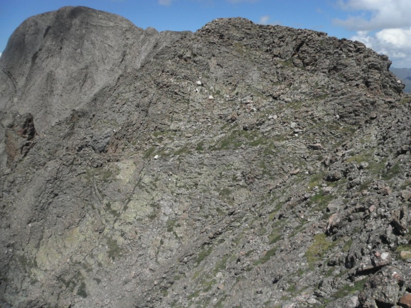
Things got confusing when I summited Columbia Point- which isn't named very well. There are actually two summits, about 100 yards apart. The West is the true summit. I rounded the east summit, saw the west, but immediately identified a path leading to a cairn down to the left. The path skipped the true summit, but led into a gully on the south side. This was exactly what I was told the day before, and I like cairns- I'm in the right place! I skipped the summit, thinking I'd get it on the way back, and followed the path.
These pictures were taken on the return:
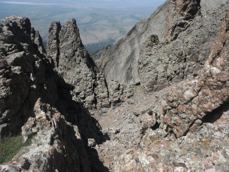
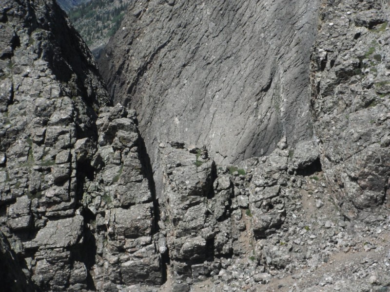
swinging around and first seeing the west summit even in a small picture, you can see the cairn across the way looking back from that cairn from the last picture from the first cairn, across the south gully, you can see the second cairn closer look, this cairn lead down a couloir to a ledge system
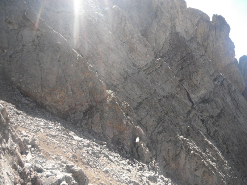
The first cairn (picture 16) was unmistakable, leading down a short couloir into the south gully, and there was the second cairn (picture 19) exiting the gully right across from me. Confident, I crossed the south gully, passed the cairn, and started down a steep couloir. This was a bit loose and steep, and I was unsure about when to exit- it went down several hundred feet and got stepper toward the bottom. But, I thought, there must be more help with cairns, since the two I'd just passed were so helpful. Nope. I started peeking over the side and as it developed and connected with many other couloirs, it swung a bit to the right.
I tried to pay attention to where I was coming from, making mental notes about where I had come from, but by now the top of the couloir was out of view, and several other tributaries were connecting together to form one main couloir. About the time the Kit Carson saddle came into view, it struck me that the smart thing might be to turn around right then and retrace my steps. However, now that I was down, there was a ledge system over to Kit Carson Avenue, and I did know that area very well. This is what I'd come for, so I continued on. Besides, I thought, maybe from Kit Carson it would become more obvious how to return to Columbia Point. I made a mental note of some thick green foliage going up the couloir I had just exited, and continued.
I did Challenger first. On the way, it was becoming obvious that I was physically exhausted, hungry, thirsty, lacking confidence, and emotionally shaken. I had to find my way back, or another way back, to Columbia Point, and I was uncertain how it would happen. Getting into the right couloir and making it up would be sketchy. About this time, the recent topic on 14ers about death threads got into my head. What are they going to say about me? He shouldn't have been solo. He should have turned around. He should have been more willing to stop and rest and refuel. This was bad. Now I was turning negative and thinking the worst. I tried to get myself back to a positive frame of mind. Coming up Challenger, I passed another hiker. After the obvious greetings, she said to me, "You're really tired, aren't you?" So much for restoring the positive.
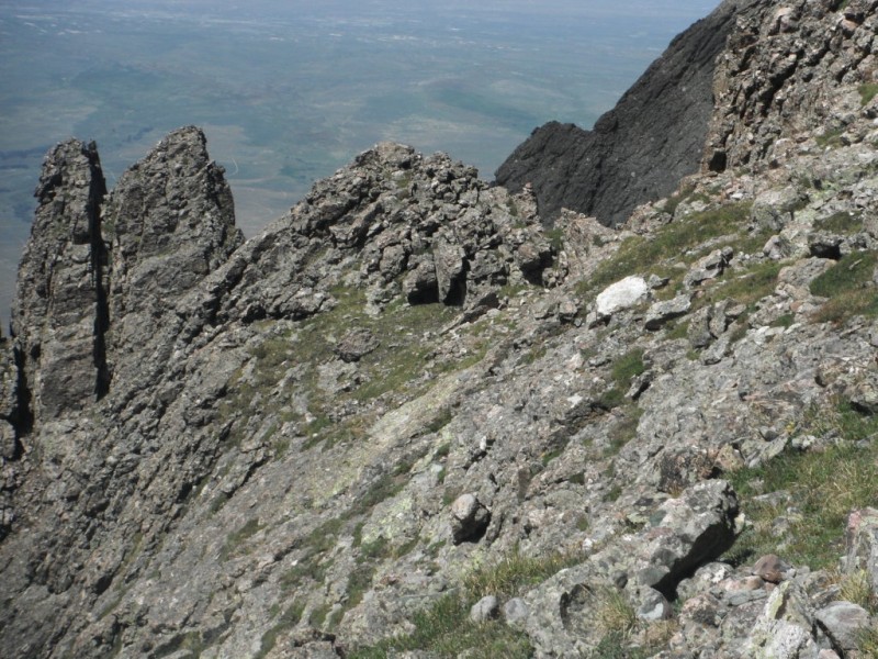
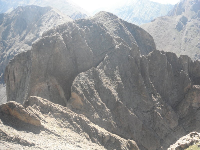
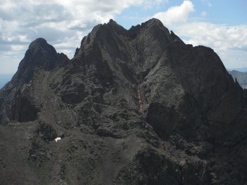
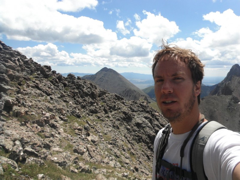
I got on Challenger at 9:15 and spent ten minutes. It's telling that it never occurred to me to take pictures. I forced down some food, saw some initial clouds building, and took off toward Kit Carson. My legs stared feeling a bit stronger, and a chat with another hiker named Jeff on Challenger got my spirits up a little, so I allowed myself Kit Carson. I made the summit at 10:10. Now I was on a direct route to the car with no more summits, and could relax a bit about the time. In this view of Columbia Point from Kit Carson, you can see a deep couloir quite a ways off to the right:
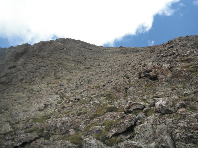
I explained my predicament to the other hikers on the summit, and they all agreed that Columbia Point looked pretty burly. I considered the more solid rock that led more directly to the summit, but it looked more exposed than I remembered, and I couldn't see for sure what it did at the top. I decided to retrace what I knew and return to my couloir. In the picture above, it's off to the right, one of the most obvious ones. Off Kit Carson to the avenue, there's a ledge system to the couloir. part of ledge system leading to couloir
I had made a mental note off a ledge to the left with some thick foliage, and found that, but I guess there was more than one ledge with thick green foliage. This guided me up a couloir to the right. Even though I had done everything right, looking back and noting where I'd come, this was the wrong couloir. It got steeper and thinner. There were three or four moves I had to do that were very difficult for me, and very committing. I'm no rock climber- and I was forced to trust hand holds and my own limited abilities with quite a bit of exposure. After a couple of these moves, it became clear that this was the wrong couloir. Looking down, I doubted I could downclimb it, so I continued up, worried that it would cliff out and I would have to start down.
The worst of the moves was a rock that was sticking out that I had to maneuver my body around, essentially forcing myself away from the assurance of the cracks and sticking myself out into the exposure, pulling myself up onto the rock. By now, I was pretty shaken up, and the enjoyment was gone. Think good thoughts, I told myself. Rest, relax, hydrate. Sing out loud. Trust your ability. And hope there's an exit at the top of this couloir. How did I get myself into this jackpot? I didn't do anything blatantly stupid, but here I was.
Finally the couloir eased, and I gained the top. There's a way down! And directly into the south gully I was familiar with! I eased my way down, around the west Columbia Point summit on the path I had taken in- I was not interested in the summit at this point. I was spent- physically and emotionally. Then an odd thing happened. The path I was on led to a point just south of the east Columbia Point summit that just crops out, like a crow's nest with the most amazing views. It was as if the mountain was saying to me, "Sure, that sucked. But here- don't forget why you're here in the first place." I sat and regrouped, mentally and physically.
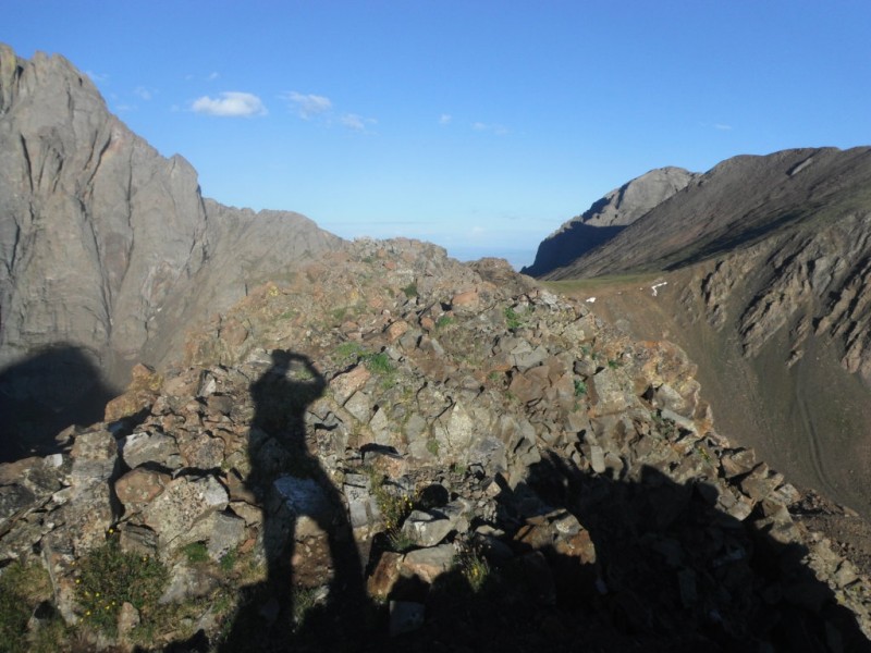
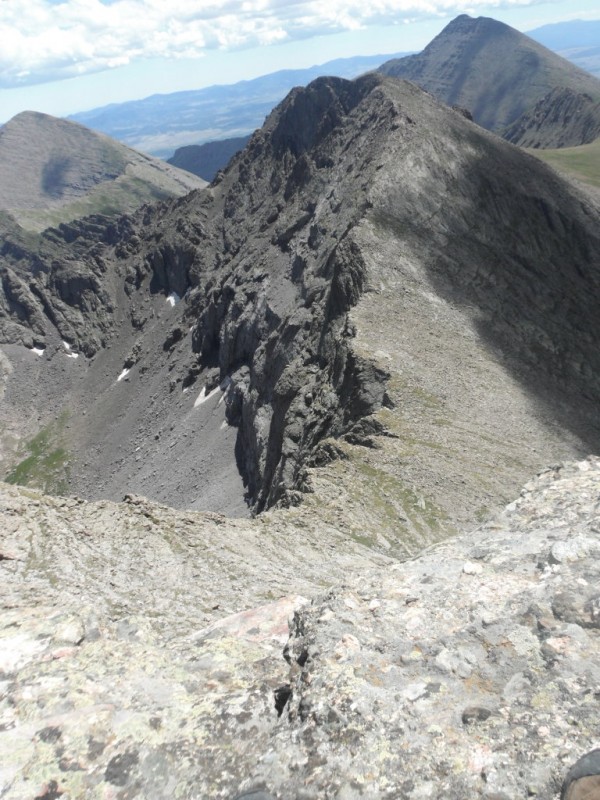
Up and over Columbia Pt, I made the saddle and decided to return without getting Obstruction Point. Here's the wrap around from this side: Obstruction Pt and saddle from Columbia Pt some cairns lead to the right, wrapping around looking back up Columbia Pt
Across Bear's Playground I had to answer the question: do I head directly back down into South Colony and deal with the mind numbing talus and scree, or do I commit to the entire ridge to the Humboldt saddle and regain the path. Looking over the edges, I started the ridge, but about a third of the way across, I found a path leading directly down and took it. Big mistake. Even if it is more direct, and even if it saved me some time (I don't think it did), dealing with the sliding on that horrible talus was the worst way to end my day. I stopped once and tried to just soak in the amazing views of the Crestones and the entire basin, but by the time I did reach the path at the bottom, I just sat with my head in my hands, feeling every step.
I've learned to love the unfolding of the return home- regaining the path, seeing the tent, getting to the truck and getting your boots off, making it to pavement, seeing the lights of Denver, and ordering two slices and a beer at Anthony's- these things help take away the negative parts of the day and give a new light to the climb. I'm still a bit shaken that I allowed this to occur, and what's more, that I didn't do anything too "over the top" stupid to get there. Still, I wouldn't go back and change the day too much, given that it worked out.
I climbed that! And that!
Thumbnails for uploaded photos (click to open slideshow):
yeah, congrats on your solo trek! I was just there playing in the Bear's Playground a few days ago. We were trying to hit the Traverse you guys did last year, but couldn't find the correct gully up to the Peak. Instead, we found some pretty awful scree and loose talus. But still a fun place to be! Will have to try it again next year! :D
I am just now doing some research to determine if it's worth it to tackle Kit Carson/Challenger from the South Colony side. The only purpose for us is that we are looking at a doing the Peak/Needle first and then going over to KC/Challenger the next day. I am not sure after reading your TR that's worth it. I am sure there must be some better route but unless I can find it better documented, not sure it's worth it. I was quite shaken just reading your TR. Glad you made it safely.
ran across this looking into kit carson for this weekend. Sounds like a crazy day! Glad you made it home safe
Caution: The information contained in this report may not be accurate and should not be the only resource used in preparation for your climb. Failure to have the necessary experience, physical conditioning, supplies or equipment can result in injury or death. 14ers.com and the author(s) of this report provide no warranties, either express or implied, that the information provided is accurate or reliable. By using the information provided, you agree to indemnify and hold harmless 14ers.com and the report author(s) with respect to any claims and demands against them, including any attorney fees and expenses. Please read the 14ers.com Safety and Disclaimer pages for more information.
Please respect private property: 14ers.com supports the rights of private landowners to determine how and by whom their land will be used. In Colorado, it is your responsibility to determine if land is private and to obtain the appropriate permission before entering the property.