Download Agreement, Release, and Acknowledgement of Risk:
You (the person requesting this file download) fully understand mountain climbing ("Activity") involves risks and dangers of serious bodily injury, including permanent disability, paralysis, and death ("Risks") and you fully accept and assume all such risks and all responsibility for losses, costs, and damages you incur as a result of your participation in this Activity.
You acknowledge that information in the file you have chosen to download may not be accurate and may contain errors. You agree to assume all risks when using this information and agree to release and discharge 14ers.com, 14ers Inc. and the author(s) of such information (collectively, the "Released Parties").
You hereby discharge the Released Parties from all damages, actions, claims and liabilities of any nature, specifically including, but not limited to, damages, actions, claims and liabilities arising from or related to the negligence of the Released Parties. You further agree to indemnify, hold harmless and defend 14ers.com, 14ers Inc. and each of the other Released Parties from and against any loss, damage, liability and expense, including costs and attorney fees, incurred by 14ers.com, 14ers Inc. or any of the other Released Parties as a result of you using information provided on the 14ers.com or 14ers Inc. websites.
You have read this agreement, fully understand its terms and intend it to be a complete and unconditional release of all liability to the greatest extent allowed by law and agree that if any portion of this agreement is held to be invalid the balance, notwithstanding, shall continue in full force and effect.
By clicking "OK" you agree to these terms. If you DO NOT agree, click "Cancel"...
6/20/12
Grays Peak- South Ridge
7.0 miles, 3250 feet elevation gain
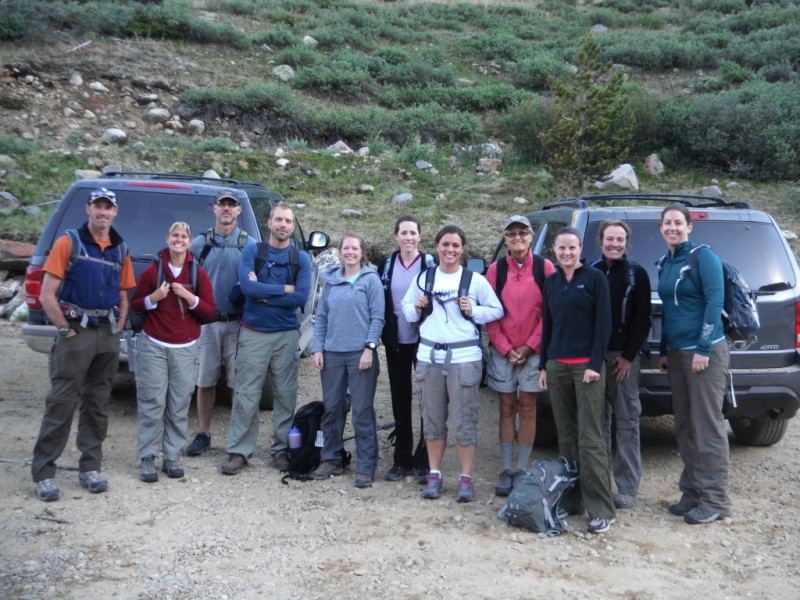
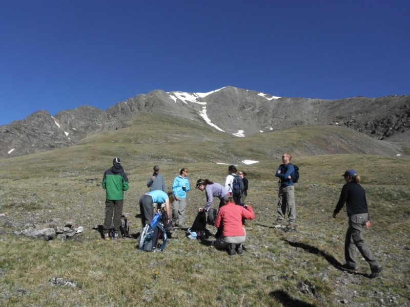
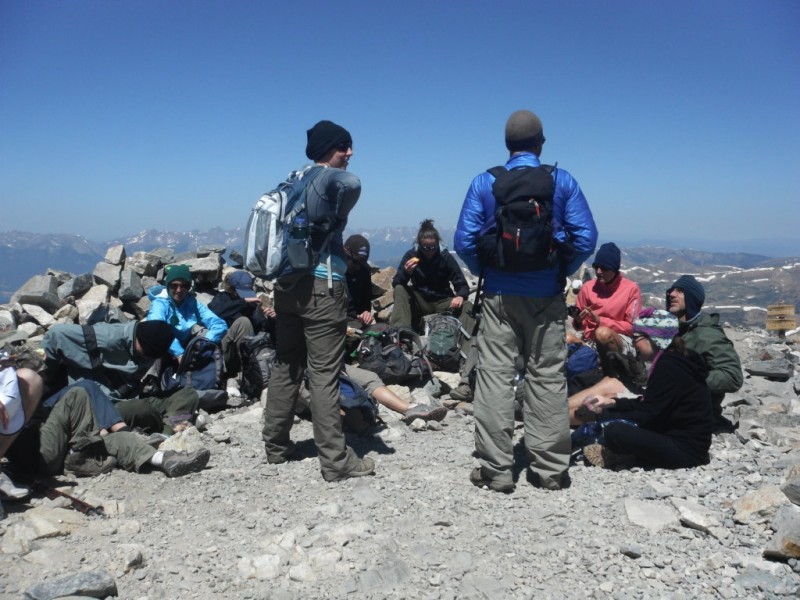
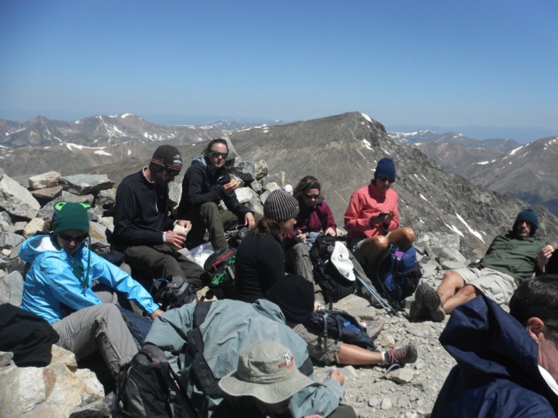
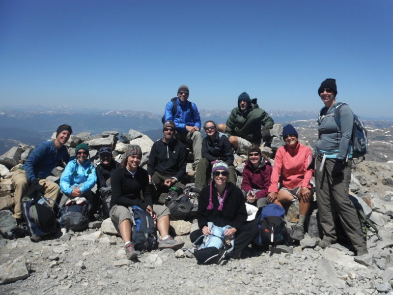
Group- Susan, Katrina, Karen, Ashley, Tonia, Laura, Wendy, Holly, Matt, Jim, Pat, James
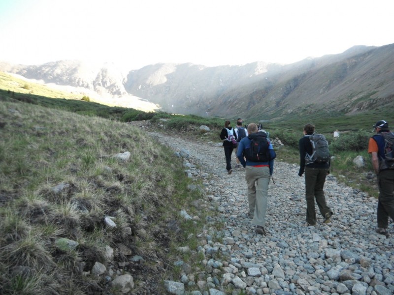
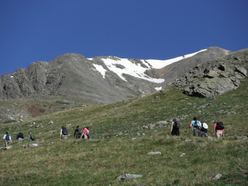
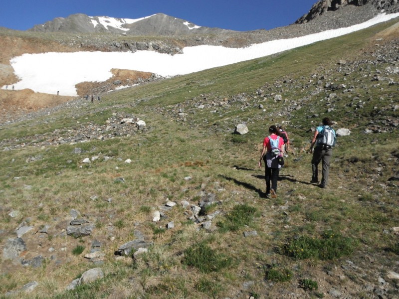
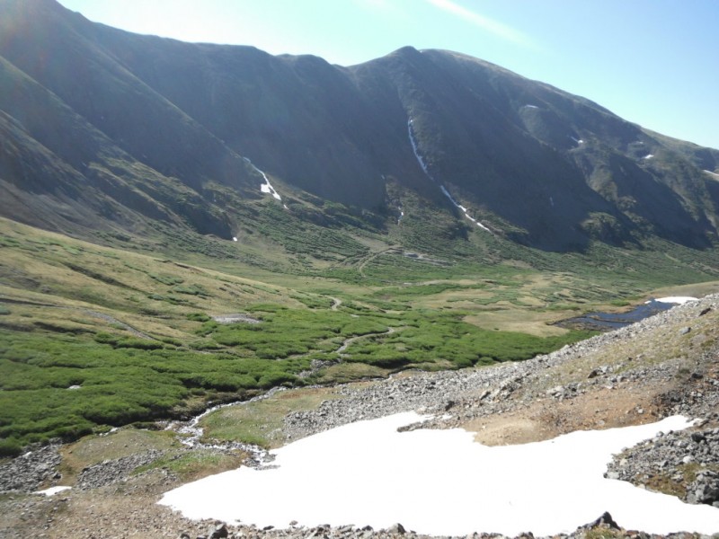
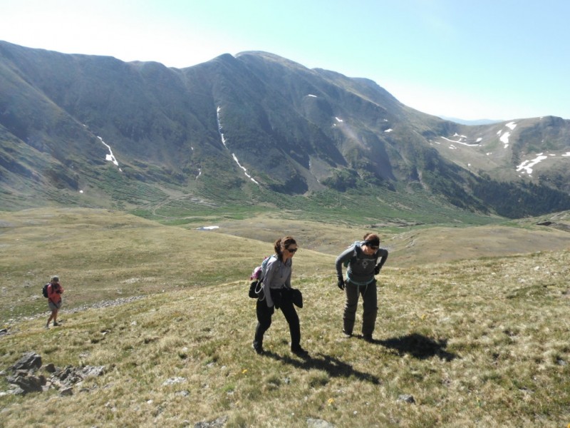
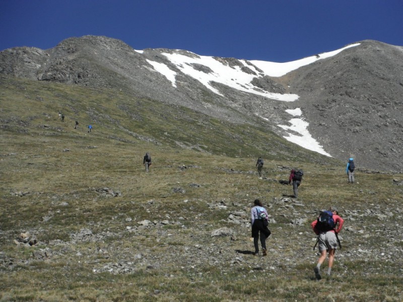
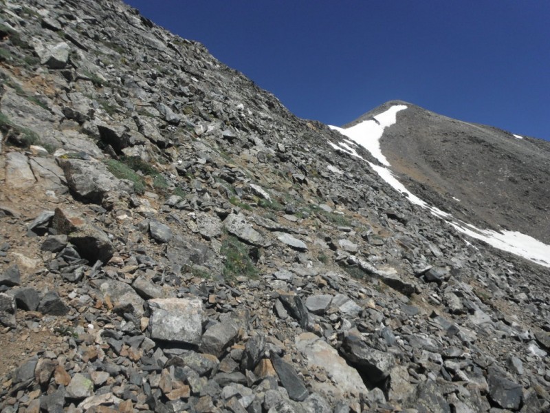
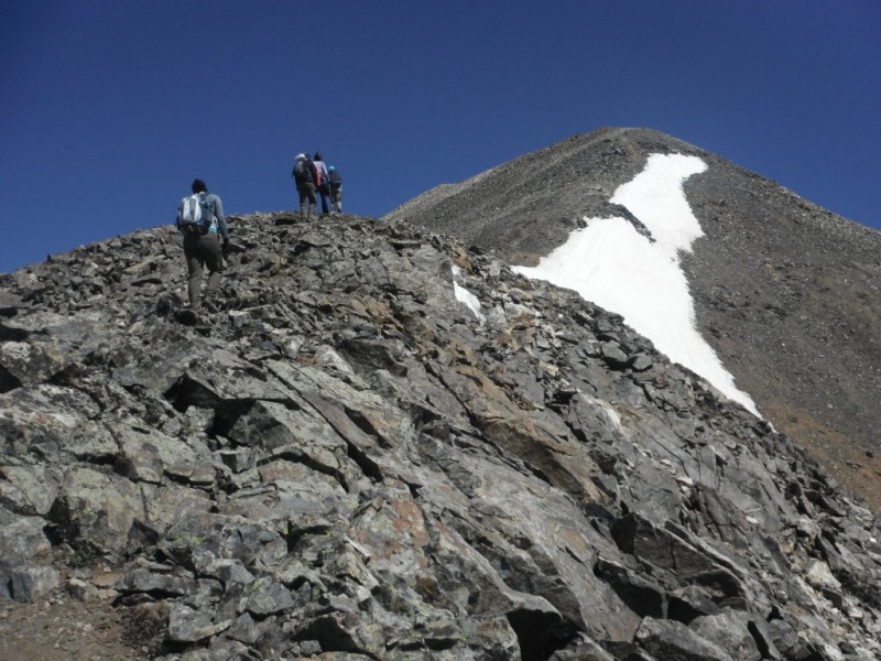
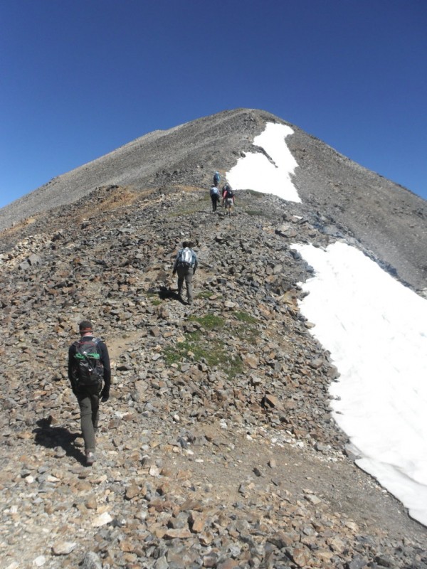
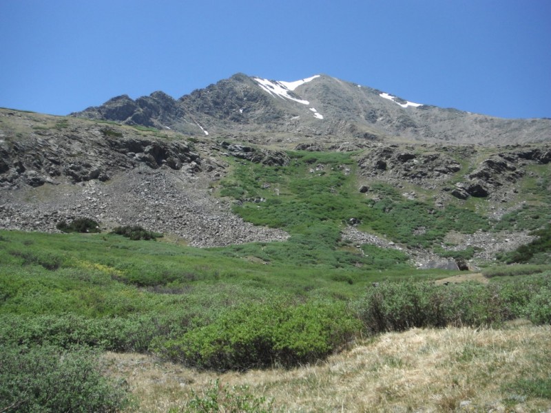
A friend and I got the idea of taking a group of coworkers up a 14er. We teach middle school, so we're slightly crazy to begin with, and quite a few people said they'd love to come along. Choosing a route was difficult- we didn't want a three hour drive, we didn't want something too over the top challenging, and we didn't want the line of ants going up Bierstadt or Grays and Torres. Finally, we got the idea to go up Grays on the South Ridge. This is a great alternative to the standard route- we had the basin to ourselves, and it really is a charming place. It is steeper and more difficult, however.
It took us a while to get everyone to the trailhead- some bad communication on my part with directions, and a rougher than I remember drive up the dirt road got us to the parking lot just past 7:00. We took off just before 7:30.
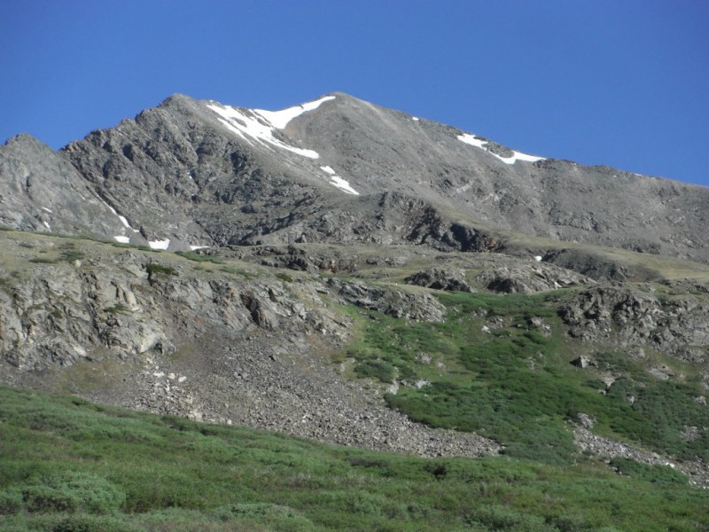
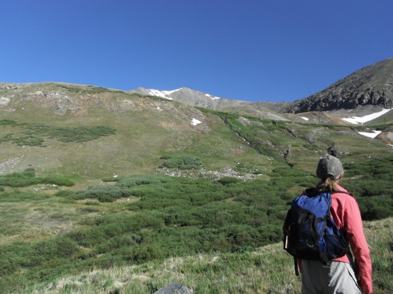
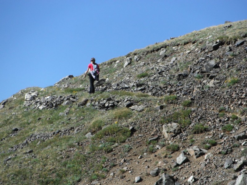
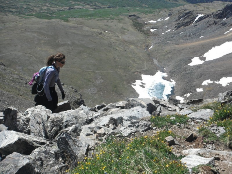
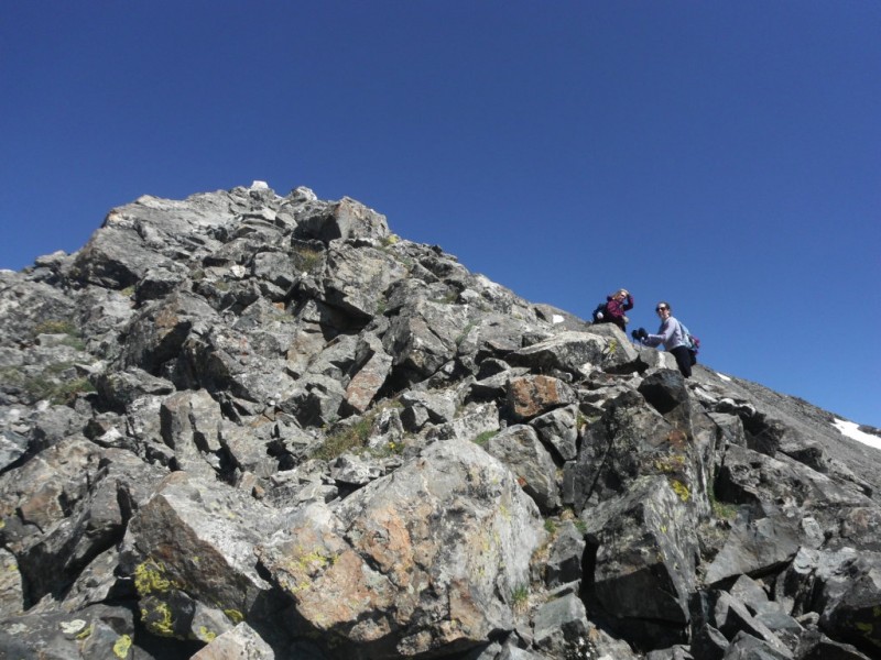
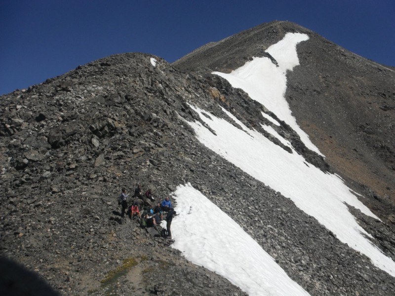
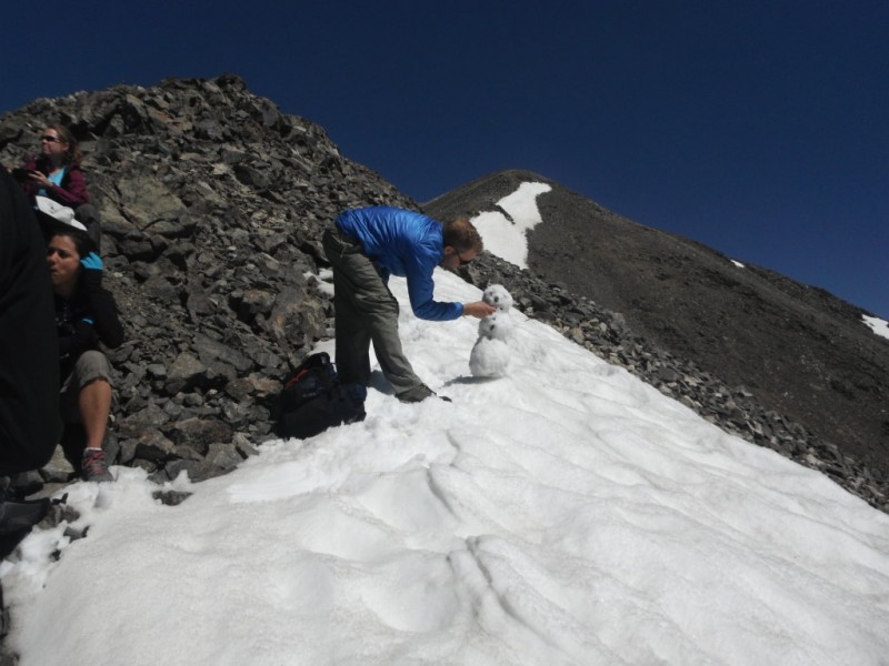
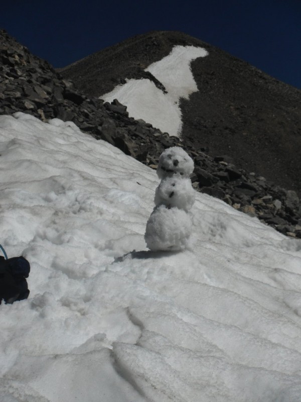
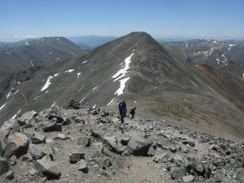
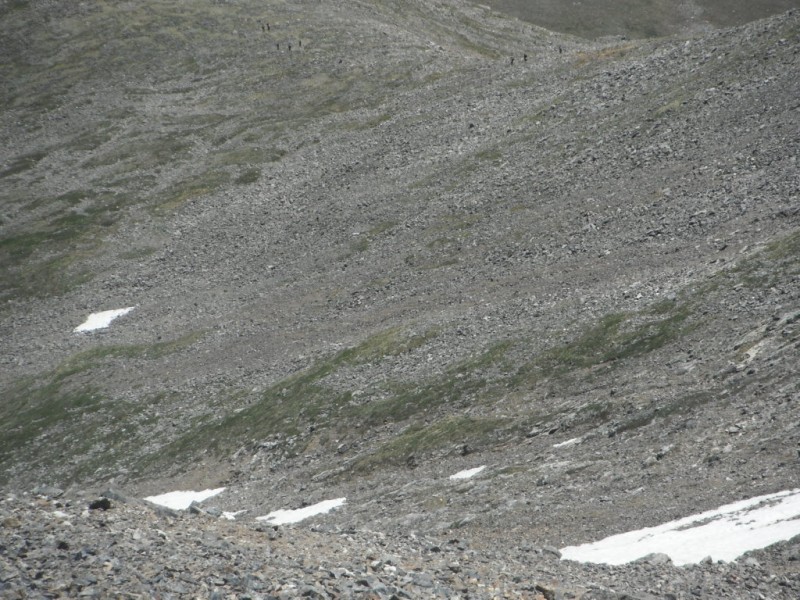
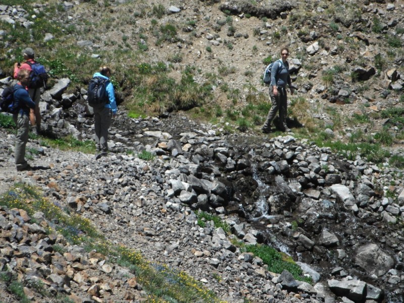
group shot first view up into the basin, Grays peaking out on the left on the road, early morning first look at Grays- long way up there Karen considering her near future group walking under Grays end of the road, turning onto the trail the basin below- a beautiful place Katrina turns the corner to the upper slopes upper slopes- break time underneath the summit of Grays on the grassy upper slopes upper slopes Katrina over a cool looking frozen lake nearing the crux- the steepest work below the ridge Grays waiting patiently Susan and Tonia making the ridge we all meet back together on the ridge Jim working on his snowman happy snowman before a ruthless attack by Pat the ridge- final summit push summit push Summit relaxing on Summit faculty meeting- let's talk about the gum rule some more! happy teachers Jim gaining Torres, Grays in background back on Grays- can you see the group below? back on the lower trail crossing a stream the walk out- sore feet! last look back at Grays- we climbed that!
I had been worried about the weather- specifically the wind- and if the ridge would be too hard for people to enjoy. It turned out to be a near perfect day. Absolutely no clouds over us the whole day, and the wind was always brief when it would arrive. Everyone was able to summit, and it was a happy group of teachers on top of Grays at 11:15. A smaller group took off towards Torres, but we all were more or less back together by the time we regained the road at the bottom of the basin. The walk out was quick, but a flat tire on Tonia's car was waiting. Matt and Pat were rock stars, and while the rest of us relaxed, they got the job done.
This was Katrina's first summit of a 14er, I think everyone felt accomplished and had a good time! To the teachers!
Thumbnails for uploaded photos (click to open slideshow):
We did Horseshoe Basin in 2009, and despite being a Saturday in August, we didn't see a single person until we reached the summit of Grays. A truly underrated hike!
This was one of your group member's 1st fourteener? And she's a teacher?? I'm not ashamed to admit that mountain climbing is one of the primary reasons why I am a teacher... Summers off=Mountain freedom
did seem to me to be far worse in the afternoon coming out than driving up in the morning. Maybe that moose we saw was walking back and forth on the road and causing erosion- moose cause a lot of erosion with their four legs. Forgot to mention the moose in the trip report. And the excitement of the science teachers noticing lady bugs and bees. And moose.
Caution: The information contained in this report may not be accurate and should not be the only resource used in preparation for your climb. Failure to have the necessary experience, physical conditioning, supplies or equipment can result in injury or death. 14ers.com and the author(s) of this report provide no warranties, either express or implied, that the information provided is accurate or reliable. By using the information provided, you agree to indemnify and hold harmless 14ers.com and the report author(s) with respect to any claims and demands against them, including any attorney fees and expenses. Please read the 14ers.com Safety and Disclaimer pages for more information.
Please respect private property: 14ers.com supports the rights of private landowners to determine how and by whom their land will be used. In Colorado, it is your responsibility to determine if land is private and to obtain the appropriate permission before entering the property.