| Report Type | Full |
| Peak(s) |
"Drift Peak" - 13,915 feet |
| Date Posted | 04/21/2012 |
| Date Climbed | 04/16/2012 |
| Author | AndYouSeeMe |
| Additional Members | SurfNTurf |
| Snow on Villa Ridge |
|---|
|
Peak: "Drift"(13,900) Mileage: 6.8 miles Elevation Gain: 2,920 ft 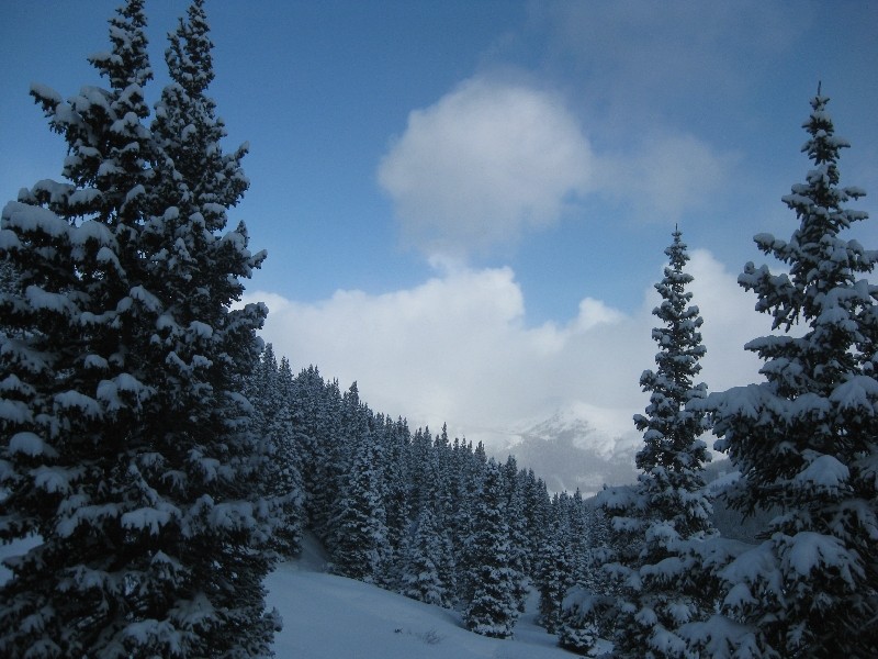 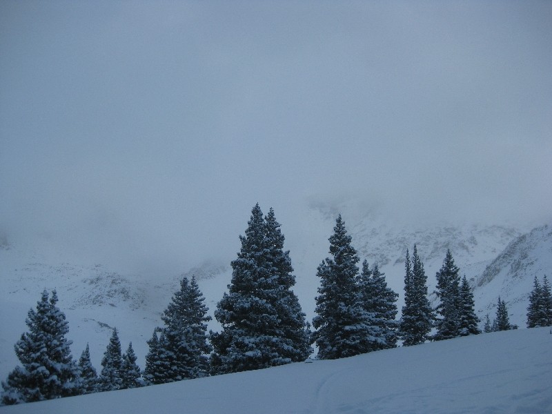 After climbing Horseshoe and Finnback Knob the day before in a snowstorm, I figured that this day would be a little easier, and was once again wrong. Surfnturf Jeff and I left from the TRex lot at 6am with the initial plan being to attempt Mt. Arkansas. On the slow, snowy drive west we decided to call an audible out of avy concerns on the slope to gain the north ridge of Arkansas. Having both been up in Mayflower Gulch before, we thought it smarter to change the plan to Drift Peak out of familiarity with the area and knowing that the Villa Ridge could be gained in a much safer fashion. The ridge is another classic route in Roach's 13er book, and named after Henry Villa, who died from an avalanche while attempting the route in 1990. As we left the winter TH is was snowing slightly but otherwise the weather was very nice. We made quick work of the road up to the part where the road splits before the old cabins. Up until this point we had a decent snowshoe/ski track to follow, but it quickly died out after the split to the right. The snowshoes stayed in the car and that did not turn out to be a big deal due to the 12-18 inches of fresh snow being fluffy powder, and even with them I am sure we would have sunk just as far down. 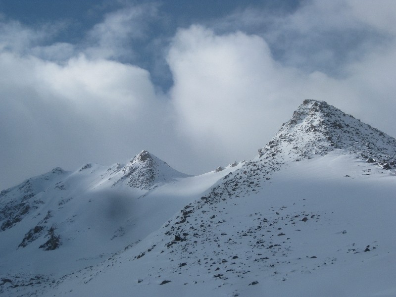 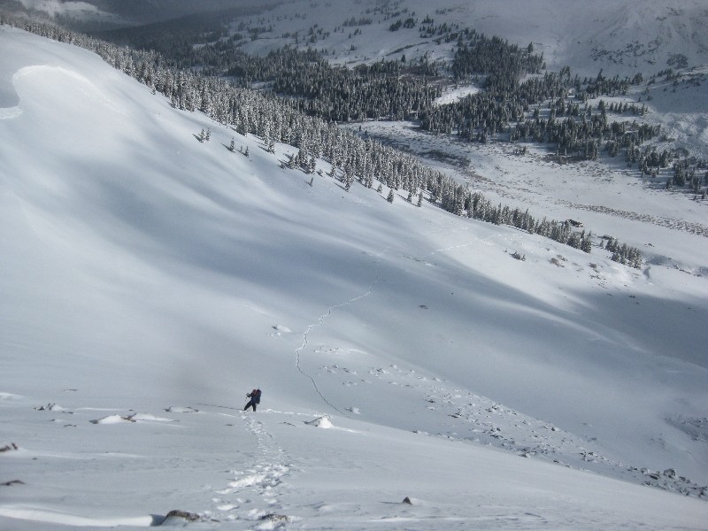 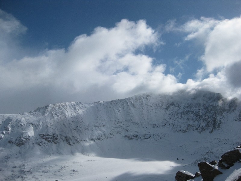 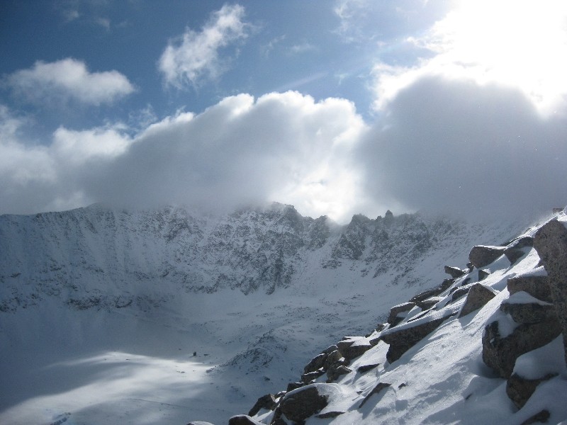 Drift Peak was hidden behind clouds for most of the day, and Atlantic and Pacific would occasionally peek through. The Atlantic-Fletcher ridge would show itself occasionally, and with the fog looking like smoke along the traverse, it made it look even more intimidating and awesome. The weather would be extremely variable all day and would change from blue skies and sunshine to windy snowstorm multiple times. 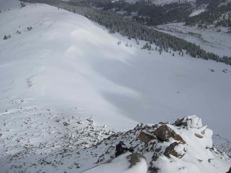 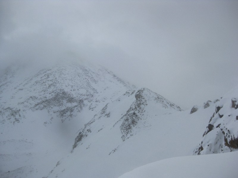 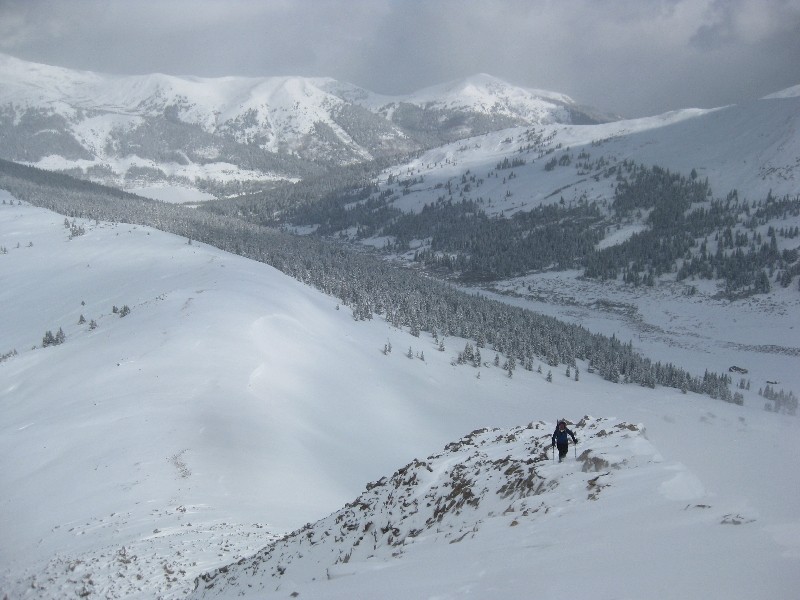 The slog up to the ridge proper went by pretty quickly and soon we were at the base of the long Villa Ridge. Of course we thought the ridge would sail by due to it being blown clear of snow, and we were sorely mistaken. The fresh snow had accumulated up to almost 5 feet deep in places, no joke. We were literally swimming in it, and swimming very, very slowly. In dry conditions, I am sure the ridge crest is the way to go, but due to the snow and cornices we were forced just below the ridge proper, usually on its west side. 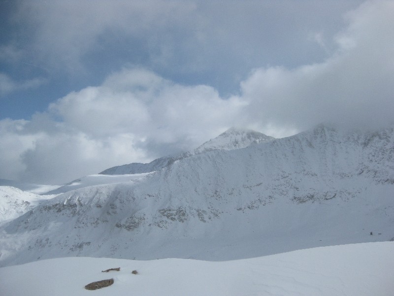 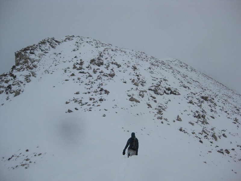  Being forced below the ridge meant tedious class 2 scrambling on unstable, snow covered, icy rock, not too fun. Luckily all the snow was powder and any slip just meant you were falling into deep snow, not sliding down the mountain, but quite annoying. Jeff and I had both underestimated the time it would take and unfortunately I had time constraints and had to be back in Denver no later than 4, not good with how slowly we were moving. 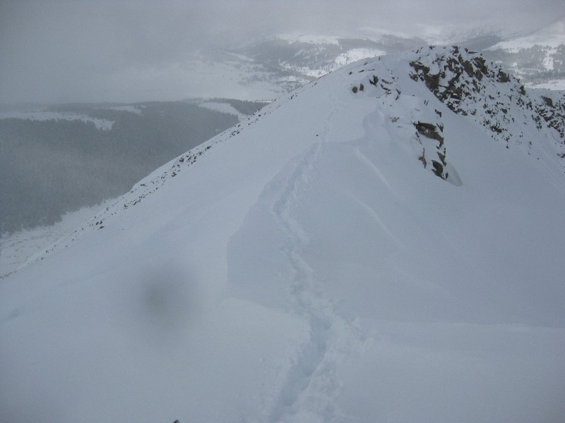 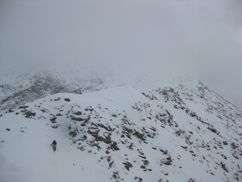 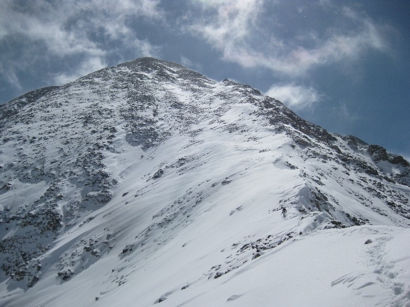 After the long flat section of the ridge gave way to the steeper area, we were finally able to walk along the ridge crest. The snow was still extremely deep at this point, and we left a pretty cool looking trail behind us. Time was getting short at this point and we knew we either had to make a dash for the summit or risk not making it back in time. Jeff was a little behind me at this point and he urged me to continue while he took a break and scouted out a descent route. He said he would have no problem coming back to do the ridge when it was dryer, and faster, and that I should hustle up there to tag the summit. Having been turned back on this peak before I did not hesitate. 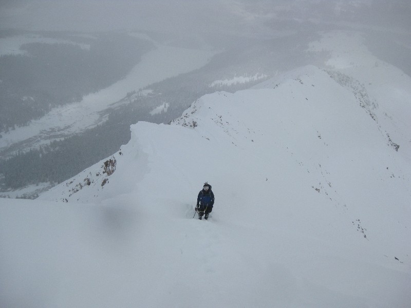 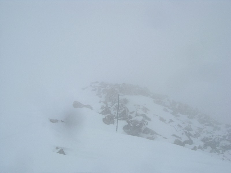  I set a turn around time of noon to reach the summit and about a half hour after leaving Jeff I topped out at 11:52, just in time. The weather was the worst of the day for the 45 minutes or so I was above 13,500 and my summit shots show that. I had been looking forward to the unique views of the rest of the range from the summit, but instead I had about 20ft of visibility and was more focused on not getting blown over. After only about two minutes on the summit taking pics I started to head down and out of the storm. 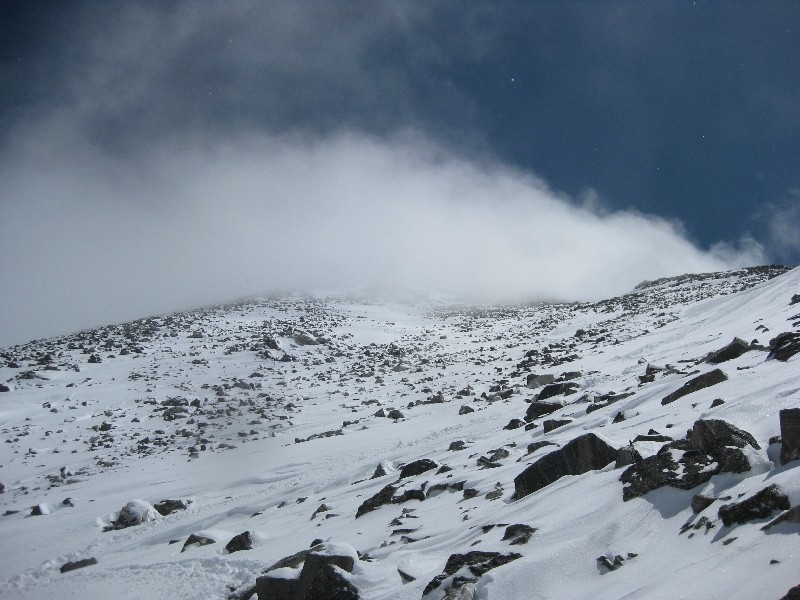 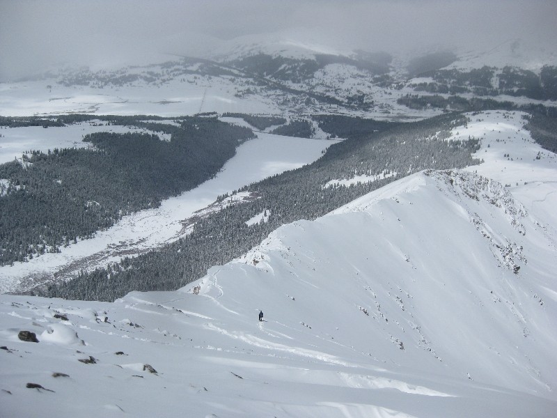 As was the theme of the day, soon after leaving the top, the clouds left and the sun shown on the summit. I thought about running back up there for some better pictures, but of course I didn't do that, too much work! The clearing allowed Jeff and I to restore visual contact, which was nice for both of us. I made my way back to where he was waiting and he informed me that our original line of descent was not looking to promising avalanche-wise, and that we may end up retracing our steps down the ridge, not what I had wanted to hear. The wind had been blowing every which way up there lately, and depositing snow all over the place. Instead of finding cornices all facing the same way to help us evaluate the terrain, everywhere we looked there was one facing a different direction, making it very confusing. 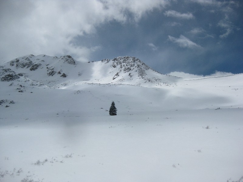 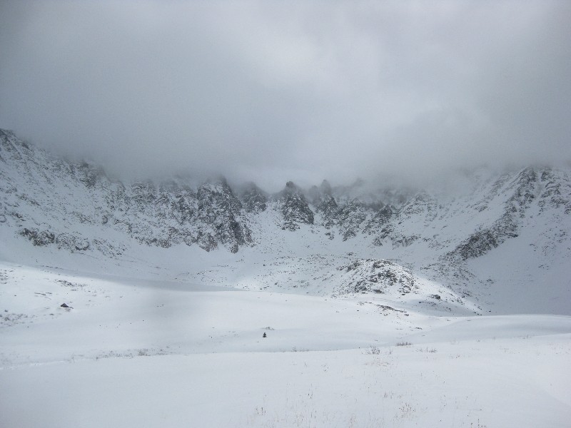 In the end we took the ridge for a little while and found a mellower slope that wasn't as windloaded as what we had seen earlier, and with a better runout. A short glissade deposited us in some deep powder down lower and from there it was just a matter of busting through all the fresh snow back to our tracks from the morning. By now the sun had decided to stay out, and the reflection off the snow turned the day hot fast. We made it back to the car just after 2 and I was able to make it back in time to get the car to my wife. I think I dealt with deeper snow today in places than I did all "winter", which goes to show how mild this winter really was. Jeff, it was great to finally put a face to the name, and I really hope we can hit the trail again sometime very soon! I truly appreciate you waiting for me and passing on some of your avy knowledge. This leaves just Wheeler Peak until I have summited all the ranked and unranked peaks above 13k in the Tenmile range, and I can't wait to get that taken care of soon. Thumbnails for uploaded photos (click to open slideshow):
|
| Comments or Questions | |||
|---|---|---|---|
|
Caution: The information contained in this report may not be accurate and should not be the only resource used in preparation for your climb. Failure to have the necessary experience, physical conditioning, supplies or equipment can result in injury or death. 14ers.com and the author(s) of this report provide no warranties, either express or implied, that the information provided is accurate or reliable. By using the information provided, you agree to indemnify and hold harmless 14ers.com and the report author(s) with respect to any claims and demands against them, including any attorney fees and expenses. Please read the 14ers.com Safety and Disclaimer pages for more information.
Please respect private property: 14ers.com supports the rights of private landowners to determine how and by whom their land will be used. In Colorado, it is your responsibility to determine if land is private and to obtain the appropriate permission before entering the property.


