Download Agreement, Release, and Acknowledgement of Risk:
You (the person requesting this file download) fully understand mountain climbing ("Activity") involves risks and dangers of serious bodily injury, including permanent disability, paralysis, and death ("Risks") and you fully accept and assume all such risks and all responsibility for losses, costs, and damages you incur as a result of your participation in this Activity.
You acknowledge that information in the file you have chosen to download may not be accurate and may contain errors. You agree to assume all risks when using this information and agree to release and discharge 14ers.com, 14ers Inc. and the author(s) of such information (collectively, the "Released Parties").
You hereby discharge the Released Parties from all damages, actions, claims and liabilities of any nature, specifically including, but not limited to, damages, actions, claims and liabilities arising from or related to the negligence of the Released Parties. You further agree to indemnify, hold harmless and defend 14ers.com, 14ers Inc. and each of the other Released Parties from and against any loss, damage, liability and expense, including costs and attorney fees, incurred by 14ers.com, 14ers Inc. or any of the other Released Parties as a result of you using information provided on the 14ers.com or 14ers Inc. websites.
You have read this agreement, fully understand its terms and intend it to be a complete and unconditional release of all liability to the greatest extent allowed by law and agree that if any portion of this agreement is held to be invalid the balance, notwithstanding, shall continue in full force and effect.
By clicking "OK" you agree to these terms. If you DO NOT agree, click "Cancel"...
After climbing Rosalie, Epaulie, and Epaulet on Sunday and seeing how dry the Mt. Evans wilderness was, this trip was a no brainer. There were a few good trip reports posted for some route beta, and we pretty much followed Chicago Transplants route exactly.
I posted in the climbing connection forum in order to find a partner, and was very lucky to have Pete(Tharpu Chuli) respond right away. My first message to him was full of the usual: Do you have the proper gear, experience, fitness, knowledge? questions. This was before I had a chance to see his profile or talk to him in person. Turns out he just climbed Orizaba and has also been on the Annapurna circuit and climbed 18,579 ft Tharpu Chuli in Nepal. Not only was he well prepared for this hike, his experience level blew mine out of the water! It was great hearing about all of his adventures all over the world, made me very jealous. I picked Pete up in Lafayette and we made great time to the Echo Lake TH, arriving at 5:30am.
We hit the trail at 5:45 under headlamps and headed around the western shore of the lake. There was a myriad of trails weaving this way and that through the trees and it was a tough to pick the one that kept going in the direction we were hoping. After many false starts and dead ends, we finally found a reliable trail that took us south towards the first big switchback of the Mt. Evans road. Up until this point we did not feel the need to put the snowshoes on.
After crossing the road for the first time all semblance of a trail fizzled out and the snowshoes became a necessity. We angled southeast and up, hoping to hit the road again just below Mt. Goliath. This was the toughest hour of the day in my opinion, steep uphill in thigh deep snow. Once the initial crust broke, it was just depth hoar all the way to the ground, quite the pain. It is in these times that I am glad to be 6'5" in order to high step out of the deep stuff a little easier than my shorter comrades. It is also in these times that I get frustrated at weighing 210 lbs, because Pete would be walking on top without breaking through and I would be breaking through with each step.
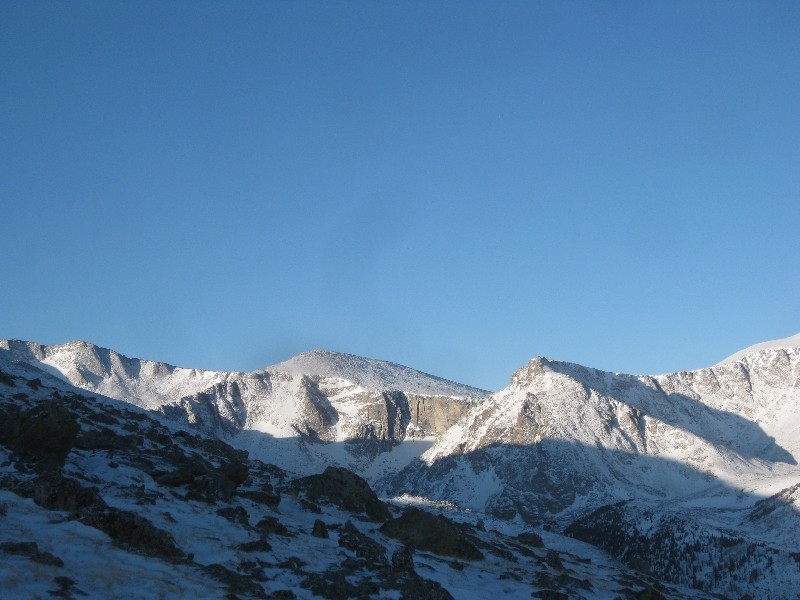
Popping out of the trees
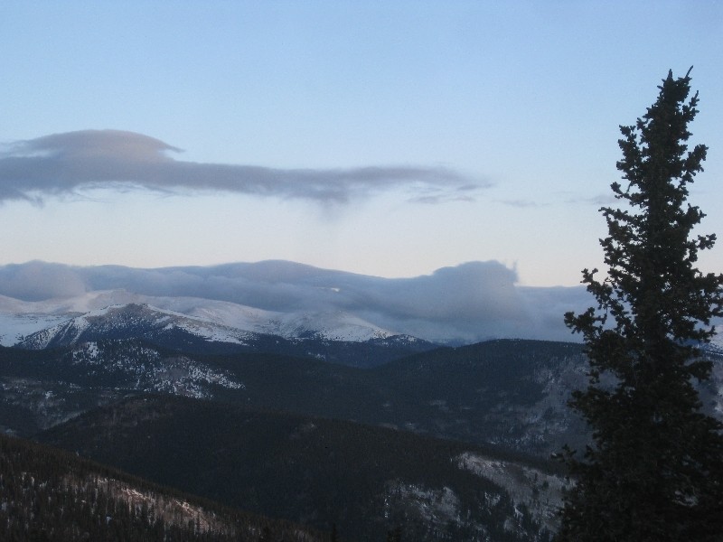
Cloud inversion
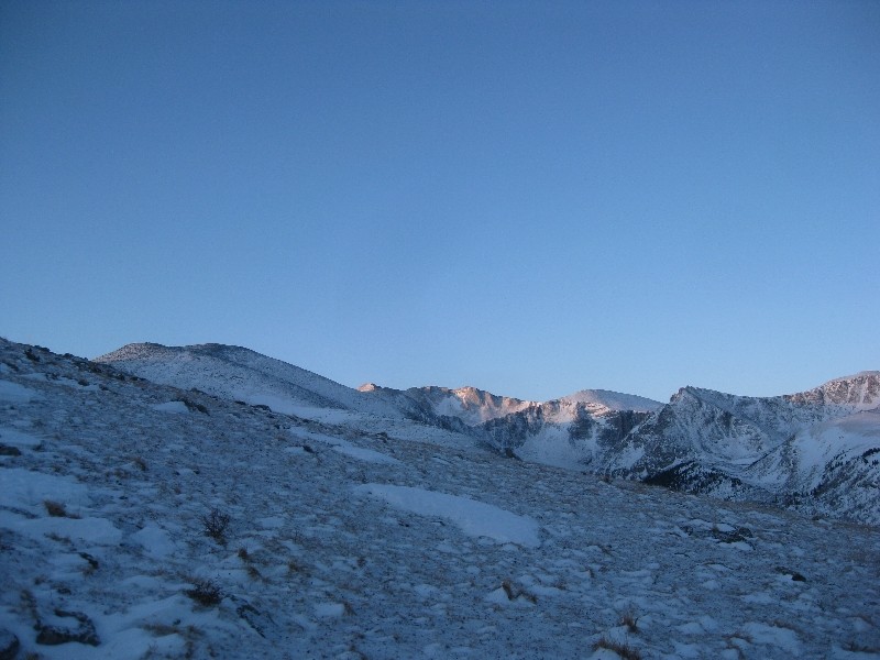
First sunlight on peaks
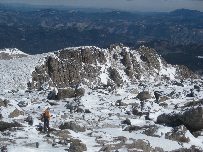
We finally made it out of the trees, took of the snowshoes, and regained the road. I had no plans of summiting Mt. Goliath, but Pete wanted to and we were so close that it would be foolish not to. Ten minutes after hitting the road we were up top and finally in the sun for the first time all day.
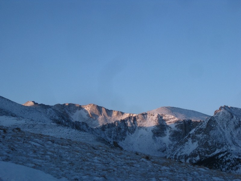
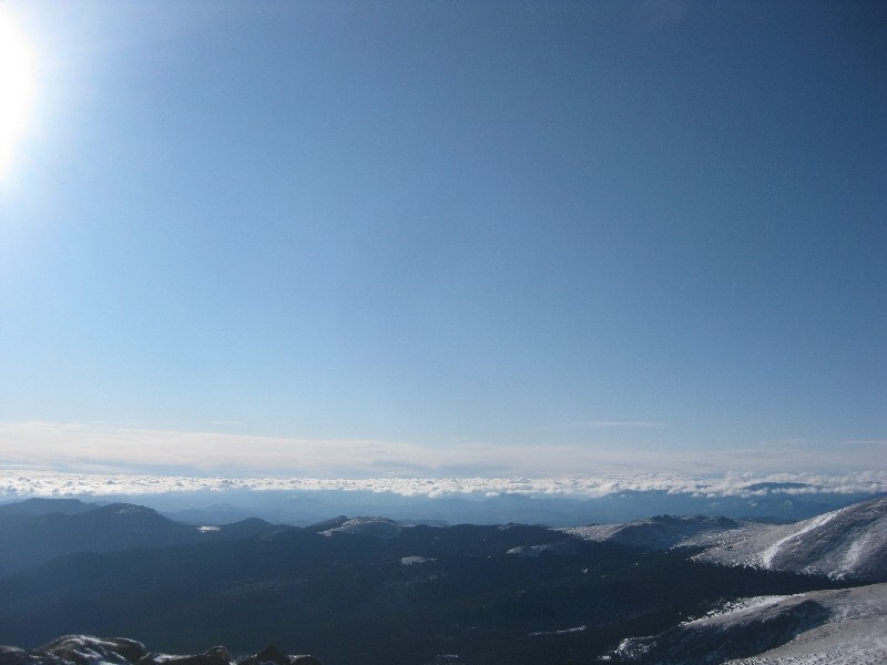
Beautiful
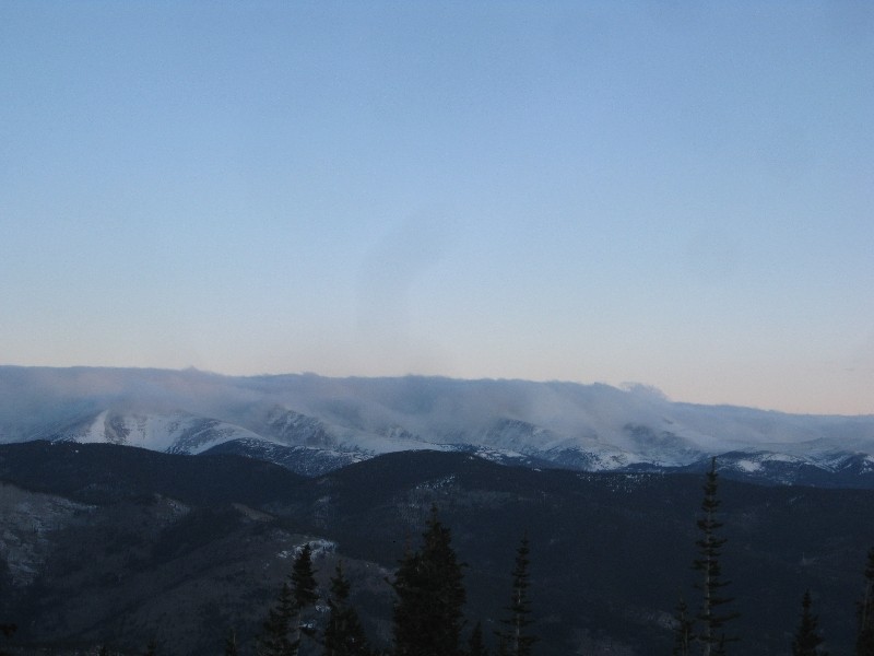
clouds
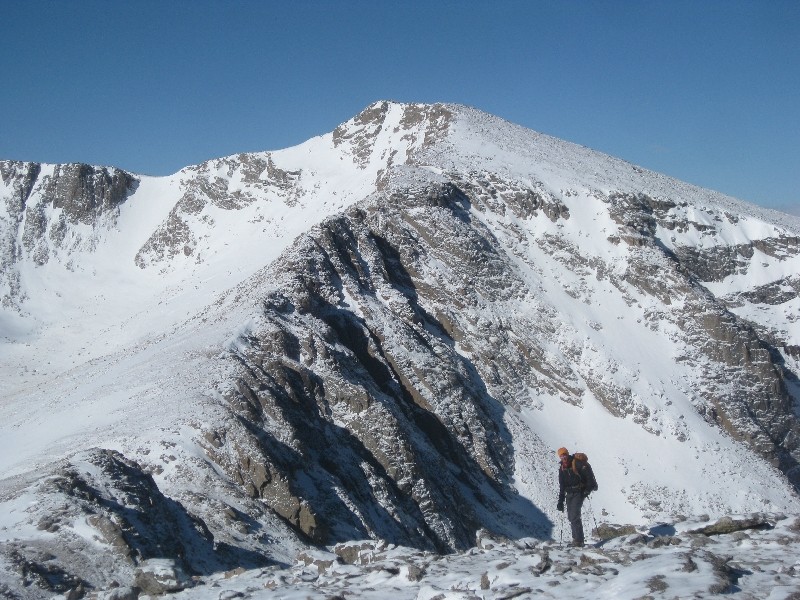
It took us about an hour to descend from Goliath and make the summit of Rogers Peak. Very simple talus walk that had some false summits that were a little frustrating. The temperature was pretty cold but the lack of anything over a 10mph wind gust made it quite alright. Only spent a few minutes up top before we got cold ad headed over to Warren.
Things to come
Rogers summit
Rogers summit
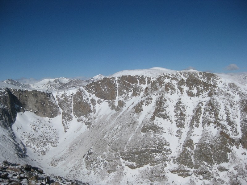
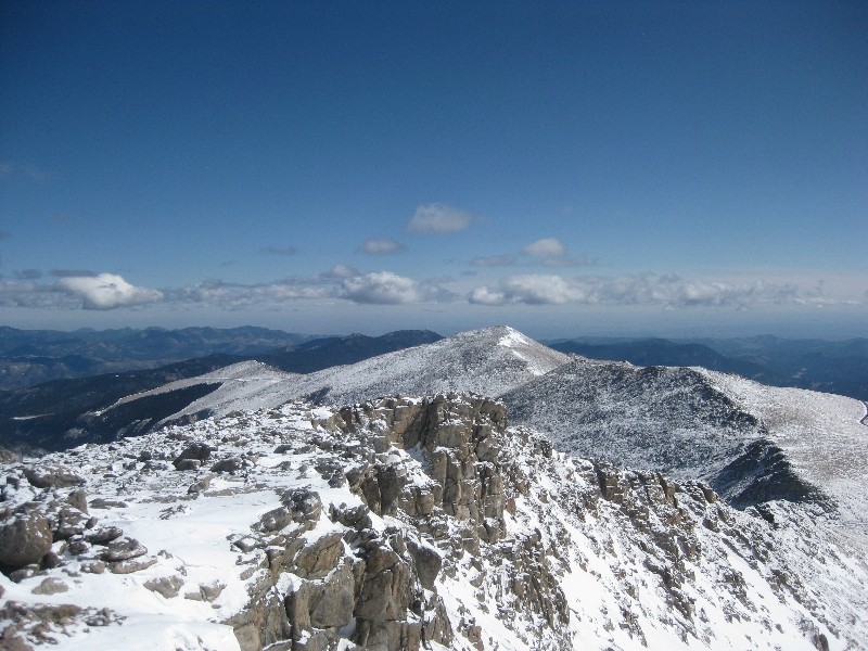
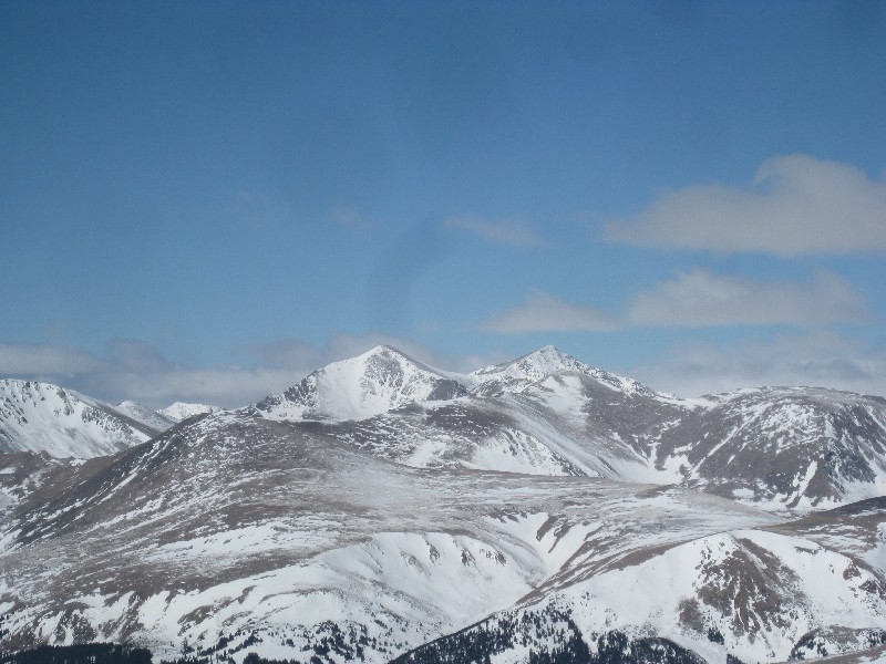
Again, it was a simple walk over to the summits of Warren. I say summits because it is pretty tough to figure out exactly which pile of boulders is the highest point, so we hit the highest three we could find. From Warren we got our first awesome views of Mt. Evans, Mt. Bierstadt, and Mt. Spaulding. Pretty stunning to say the least, but unfortunately not much in the way of ski-able lines to be found, except on the east face of Spaulding.
Finger couloirs
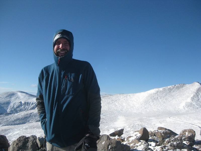
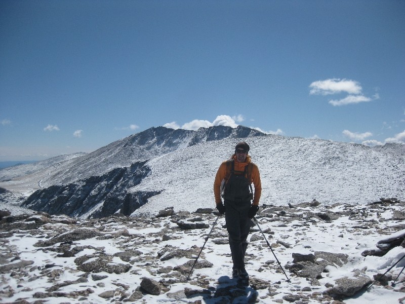
Pete with Spaulding
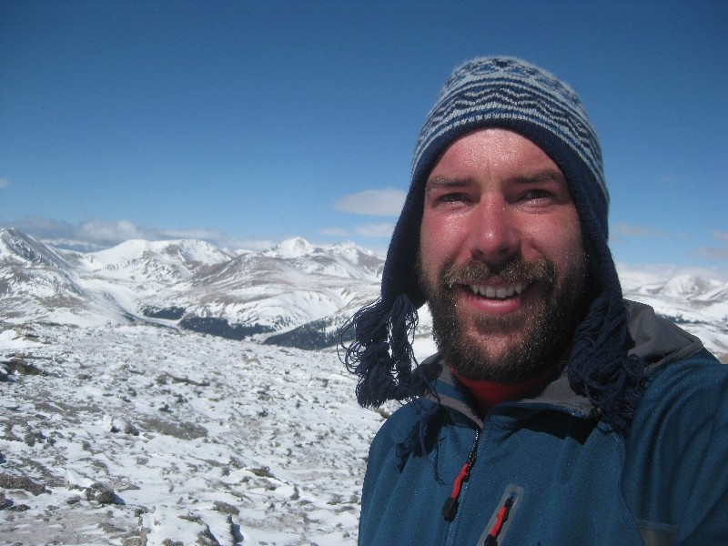
The climb down to the summit lake area went well and we stopped for a much deserved break and to apply some sunscreen. From summit lake to the summit of Spaulding was very straightforward class two, with a few class three moves made just to gain the ridge earlier than the snowed in summer trail did. We made the summit at 11:30 and took a long break because there was no wind at all and the views were amazing all around.
Evans
Bierstadt coming into view
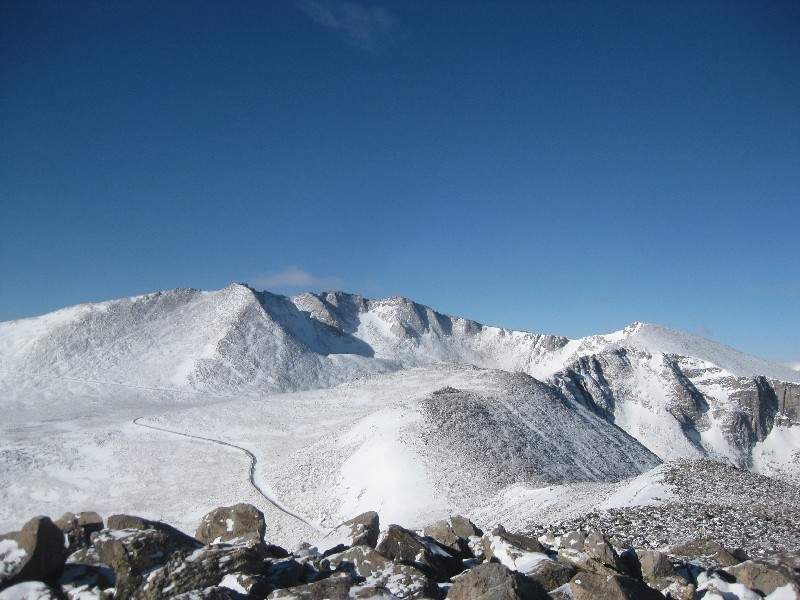
From L to R; Goliath, Rogers, Warren
Grays and Torreys
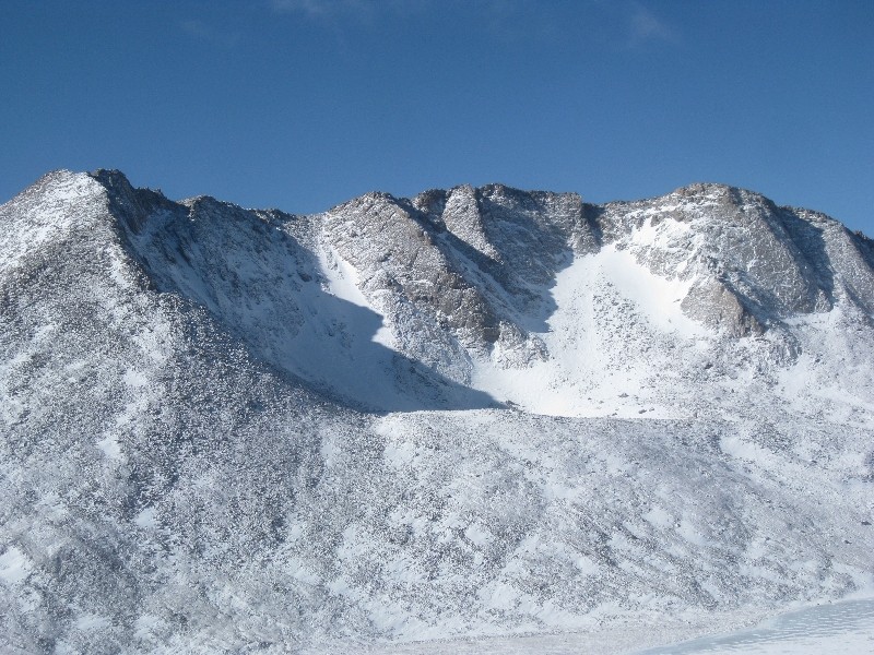
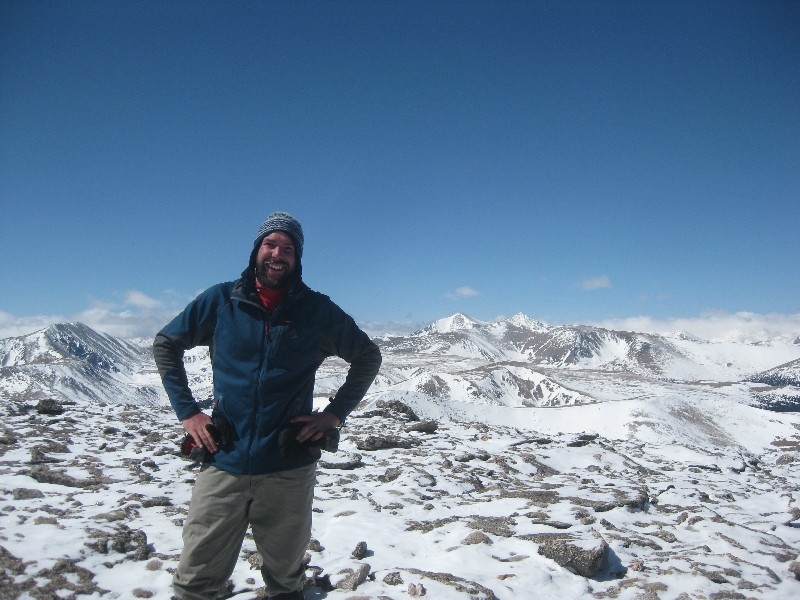
Spaulding summit
Spaulding summit
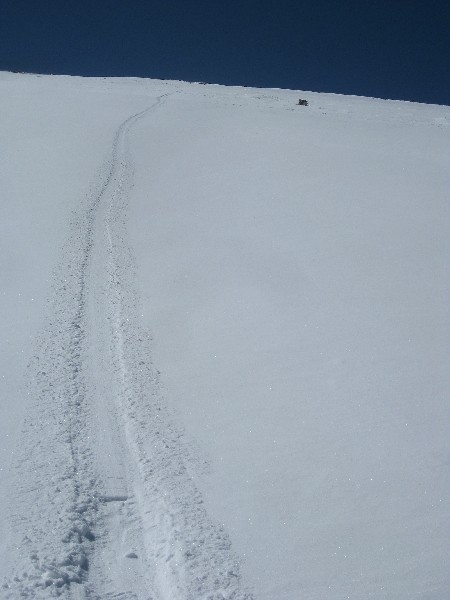
On to Gray Wolf, the last objective of the day. Another simple walk up that took just over an hour. We spent a good twenty minutes on the summit enjoying some good conversation and some amazing chocolate chip cookies courtesy of Pete's better half, Angela. We started down just after one. Highlight of the descent was the short glissade, and the lowlight of the descent would have to be the rest of it.
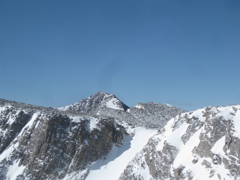
Gray Wolf summit
Gray Wolf Summit
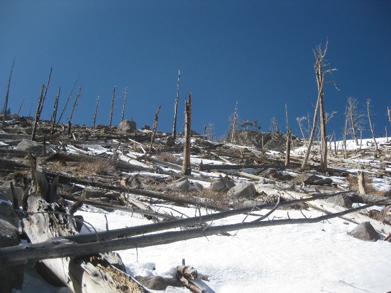
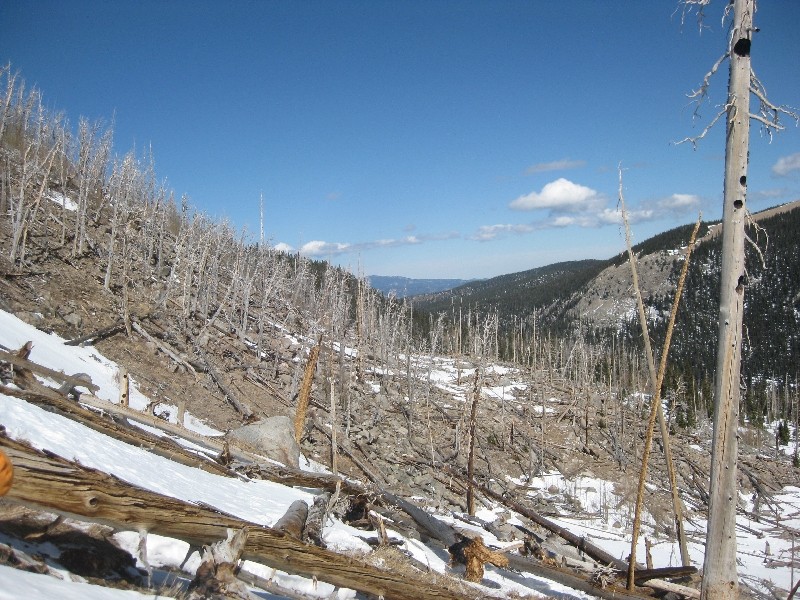
We tried to avoid the willows by dropping down through the burn area to gain the Chicago Lakes Trail just south of the Idaho Springs reservoir. I am still not sure if this was a good idea, but it is what it is. I can't say I have ever had to balance on downed trees wearing snowshoes, and it is quite the awkward experience.
Burn area deadfall
Burn area on descent
After much too long of dealing with this we finally made it to the reservoir and the trail. We thought we were home free at this point. We were, until we had to regain almost five hundred feet on the Lakes trail in order to make it back to Echo Lake. This part was not expected and therefore was very demoralizing at the end of the day. Made it back to the car at 3:55 for a round trip time of just over 10 hours. Pete, thanks for coming along and being such a great partner, couldn't have asked for better!
Thumbnails for uploaded photos (click to open slideshow):
Killin it dude! Love the Lake Loop again. That shot comin off Gray Wolf with all the downed trees brings back good (bad) memmories. You guys were smart to ditch the trail quick and head up Goliath.
tried to get me to do this route recently I think. Looks fun. Nice work!
Caution: The information contained in this report may not be accurate and should not be the only resource used in preparation for your climb. Failure to have the necessary experience, physical conditioning, supplies or equipment can result in injury or death. 14ers.com and the author(s) of this report provide no warranties, either express or implied, that the information provided is accurate or reliable. By using the information provided, you agree to indemnify and hold harmless 14ers.com and the report author(s) with respect to any claims and demands against them, including any attorney fees and expenses. Please read the 14ers.com Safety and Disclaimer pages for more information.
Please respect private property: 14ers.com supports the rights of private landowners to determine how and by whom their land will be used. In Colorado, it is your responsibility to determine if land is private and to obtain the appropriate permission before entering the property.