Download Agreement, Release, and Acknowledgement of Risk:
You (the person requesting this file download) fully understand mountain climbing ("Activity") involves risks and dangers of serious bodily injury, including permanent disability, paralysis, and death ("Risks") and you fully accept and assume all such risks and all responsibility for losses, costs, and damages you incur as a result of your participation in this Activity.
You acknowledge that information in the file you have chosen to download may not be accurate and may contain errors. You agree to assume all risks when using this information and agree to release and discharge 14ers.com, 14ers Inc. and the author(s) of such information (collectively, the "Released Parties").
You hereby discharge the Released Parties from all damages, actions, claims and liabilities of any nature, specifically including, but not limited to, damages, actions, claims and liabilities arising from or related to the negligence of the Released Parties. You further agree to indemnify, hold harmless and defend 14ers.com, 14ers Inc. and each of the other Released Parties from and against any loss, damage, liability and expense, including costs and attorney fees, incurred by 14ers.com, 14ers Inc. or any of the other Released Parties as a result of you using information provided on the 14ers.com or 14ers Inc. websites.
You have read this agreement, fully understand its terms and intend it to be a complete and unconditional release of all liability to the greatest extent allowed by law and agree that if any portion of this agreement is held to be invalid the balance, notwithstanding, shall continue in full force and effect.
By clicking "OK" you agree to these terms. If you DO NOT agree, click "Cancel"...
Even though the forecast was calling for 1-4 inches of snow, I decided to give Quandary a shot. The forecast also mentioned that the snow would most likely come after 11am. I drove to the trailhead the night before and started from the parking lot a little after 5:30am. I wanted to get up and down before the snow hit. When I stepped out of the car it was a lot warmer than I expected it to be given how cold it was in my car when I got up.
The trail was hard packed all the way up making it easy to follow even in the dark. The moon was out before the sun came up and actually illuminated the trail well enough (even in the trees) that I turned my head lamp off. It really was cool seeing the light reflect off of the snow.
I stopped a couple times for 10min+ to try and get some shots of the moon and the mountains but it was cold and I got tired of waiting on the 10-30 sec shutter speed to work so I didn't get any winners.
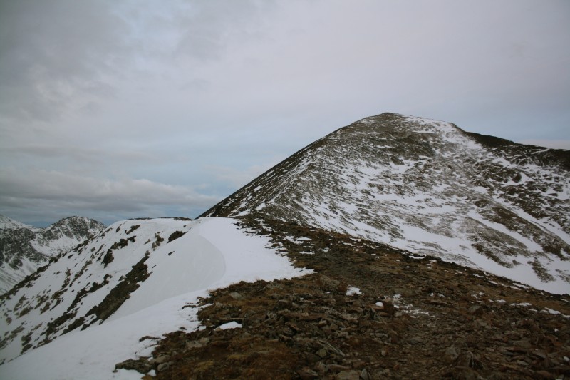
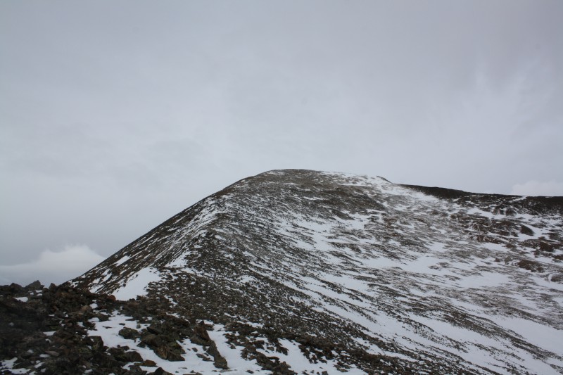
The ridge going up.
First look at the sun.
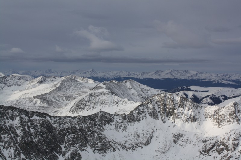
Light hitting the peaks
Getting closer I think.
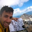
I summitted at 8:15am and spent about 30min on the summit.
The wind was off and on at times blowing between 20-30mph and at times stopping completely. I was getting a little cold because I had sweat more than I thought I did when I was in the trees. I ate a snack, took some pictures, and started to leave.
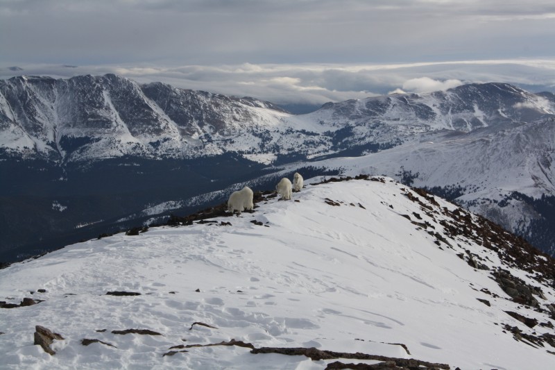
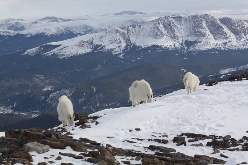
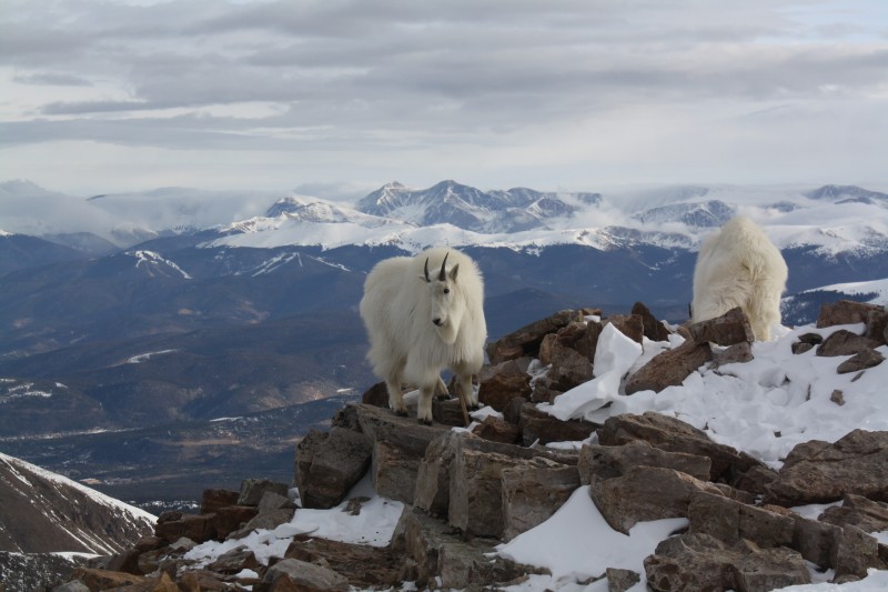
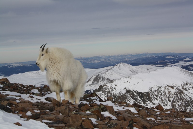
Then these guys showed up.
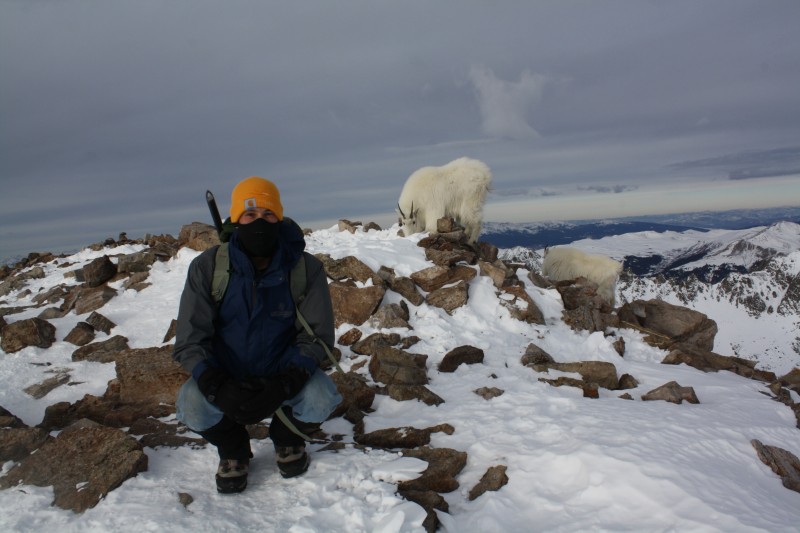
So I decided to get a picture with them.
They were very curious and walked right up to me.
Got a headbutt shot.
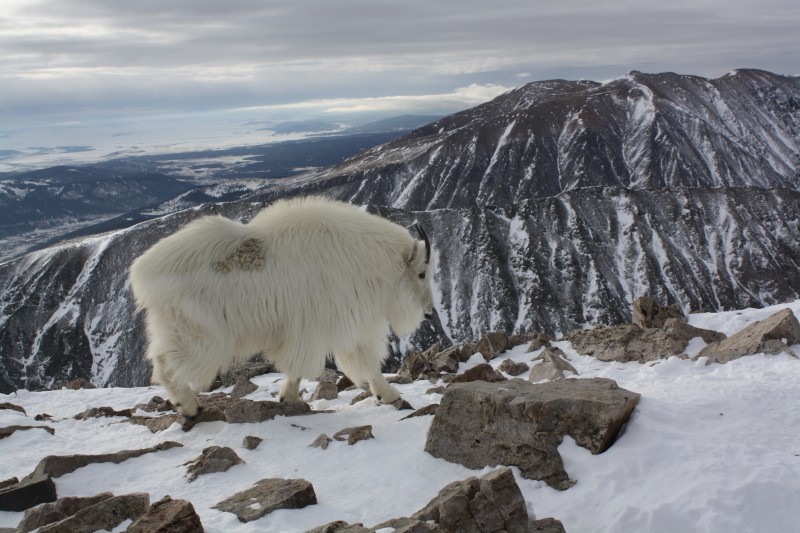
Parting shot.
The forecast was spot on as it began to cloud up as I was heading down.
I passed 4 parties going up 2 of which were going to attempt to ski/board down. There was not a whole lot of snow so I am interested how that turned out. I got back to the car at 10:15am. Round trip was less than 5 hours. As I left the parking lot I started seeing flurries and noticed clouds on the summit of Quandary and many of the nearby peaks. I was glad I got up when I did. I stopped at Backcountry Brewery in Frisco on the way back to Denver and hit the approaching storm on I-70. It was a great hike and a great day. Looking forward to the next one.
Thumbnails for uploaded photos (click to open slideshow):
Hey Will, it's John from Quandary. Nice entry. This will be my template whenever I get around to writing up my own trip reports. As for us and our attempts at snowboarding... it was pretty much non-existent. We weren't able to find any stretch of snow long enough at the top and through the trees it was way too powdery as we would become submerged up to our belly buttons. We had one good segment from the ridge down into treeline and that was it. Hope to run into you again on another adventure. God Bless!
Caution: The information contained in this report may not be accurate and should not be the only resource used in preparation for your climb. Failure to have the necessary experience, physical conditioning, supplies or equipment can result in injury or death. 14ers.com and the author(s) of this report provide no warranties, either express or implied, that the information provided is accurate or reliable. By using the information provided, you agree to indemnify and hold harmless 14ers.com and the report author(s) with respect to any claims and demands against them, including any attorney fees and expenses. Please read the 14ers.com Safety and Disclaimer pages for more information.
Please respect private property: 14ers.com supports the rights of private landowners to determine how and by whom their land will be used. In Colorado, it is your responsibility to determine if land is private and to obtain the appropriate permission before entering the property.


")
")
")
")
")
")
")
")
")
")
")
")
")
")
")
")
")
")
")