| Report Type | Full |
| Peak(s) |
Sunshine Peak - 14,004 feet Redcloud Peak - 14,037 feet |
| Date Posted | 07/08/2011 |
| Modified | 07/09/2011 |
| Date Climbed | 07/04/2011 |
| Author | Exiled Michigander |
| Sunshine and Redcloud from Mill Creek |
|---|
|
When I arrived in Lake City late in the evening of July 3rd, I was hoping to drive all the way to the Silver Creek/Grizzly Gulch trailhead and tackle the standard Redcloud/Sunshine combo route. After my car scraped bottom for the third time, however, I decided I better not risk having my oil pan ripped out. So I retreated down to the Mill Creek campground and switched to Plan B: ascending Sunshine via the east ridge route, walking over to Redcloud, and then returning. In the end I wound up switching once again to Plan C and traversing over Redcloud's northeast ridge, down to the Silver Creek/Grizzly Gulch trailhead, and back down the road to Mill Creek"a bit over 13 miles. After a leisurely breakfast and a couple cups of coffee on the morning of Independence Day, I studied the south slope of Sunshine's east ridge from my car. It didn't look too appealing, especially as Gerry Roach's description made it sound like a straight-on bushwhack. On the other hand, there were a series of ledges that looked like I could zig-zag up to reach the crest of the ridge. I steeled myself for a workout and headed up the steep slope at 08:40. Much to my delight, I found a faint but generally discernible trail after I had hiked up about 500 feet. This was a nice surprise, as no mention of this trail was made by Gerry Roach. This made the ascent up the south slopes of the east ridge MUCH easier, as I no longer had to think about route-finding up the ledges. It was still a steep ascent, but the terrain was solid. The trail was very indistinct at spots, but I was able to generally follow it up to timberline and the crest of the east ridge. (Hint: The trail crosses three small talus fields. Go straight across the first, and ascend to the right (east) on the second two to keep on the trail). 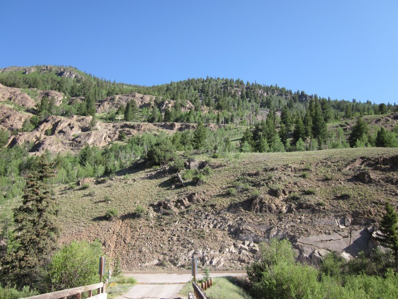 From the top of the ridge I headed west to a little plateau at around 12,500 feet. From here, the remainder of the route to Sunshine's summit was clear. After my steep ascent up the south slope of the east ridge, the rest of the day would be quite easy. I was on top of Sunshine's summit at 12:20, enjoying great views of Redcloud, Handies, Wetterhorn, and Uncompahgre. I also had to marvel at one hell of summit cairn"quite a work of art. 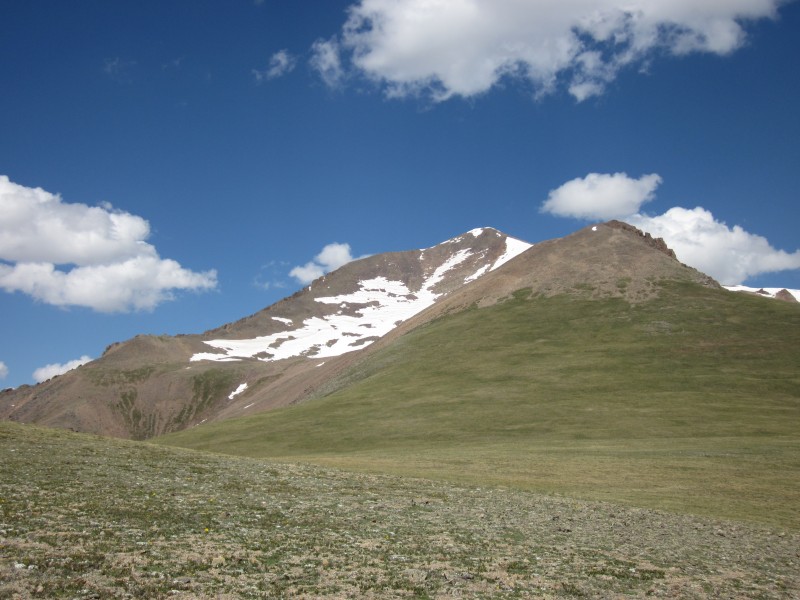 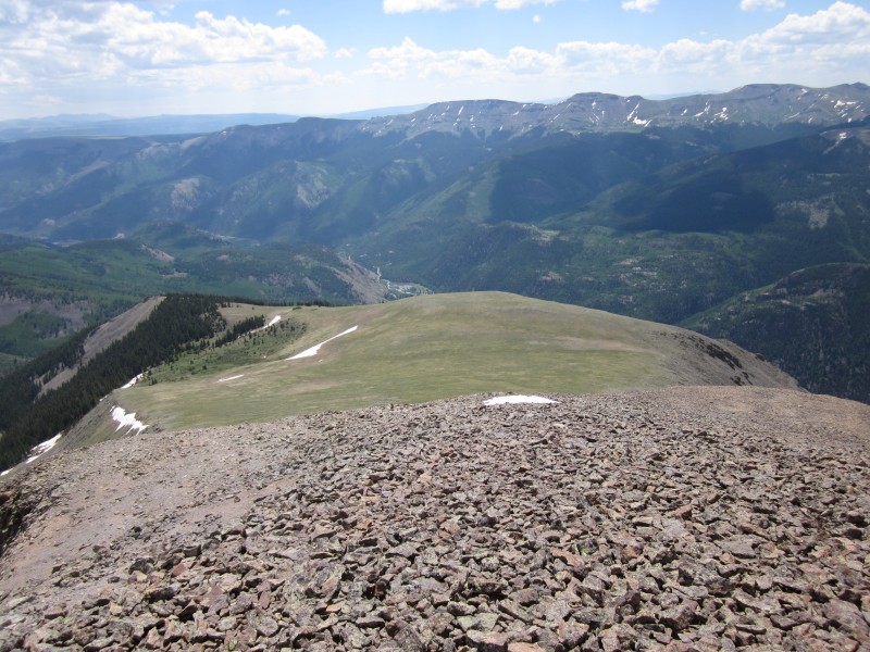 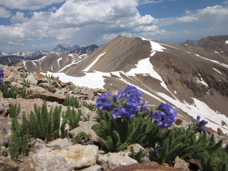 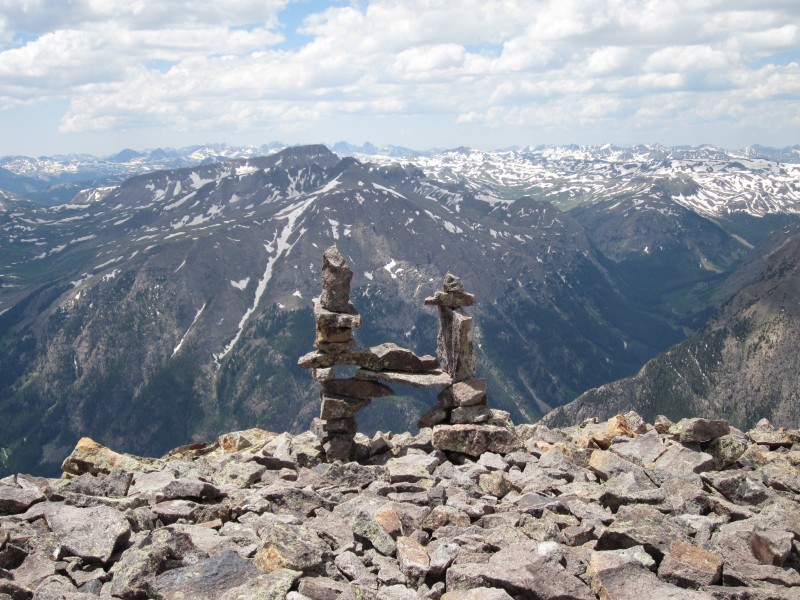 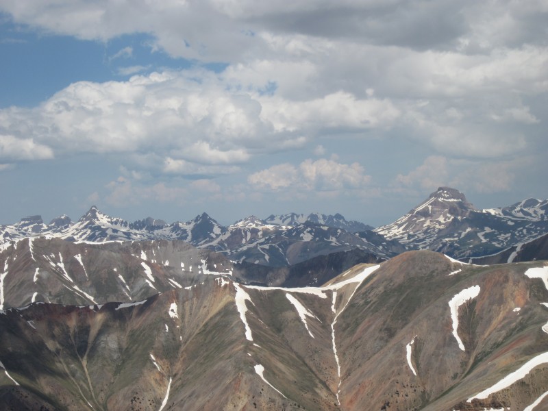 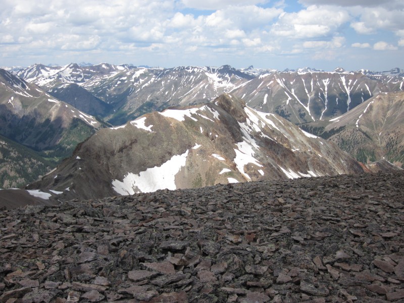 As I ate a sandwich for lunch on Sunshine's summit, I realized that descending back down the route I had come up would leave me exposed late in the afternoon. I also was a bit apprehensive about descending the steep slope I had climbed up when I was fatigued. A gentler descent, and one with a quicker exit should lightning kick up, seemed preferable. So I modified my plan yet again and decided to continue to Redcloud, descend via the standard northeast ridge route, and walk down the road to the Mill Creek campground from the Silver Creek/Grizzly Gulch trailhead. As an added bonus, this would give me a pretty nice tour of the entire area. Other than being tricked by a few false summits, the hike over to Redcloud's summit was a breeze. I was standing on its summit by 1:45, only about an hour after leaving Sunshine (and this with frequent wildflower photo stops). Dark clouds were starting to form, so I didn't spend much time atop Redcloud before descending. It was while I was heading down Redcloud's northeast ridge that I realized I hadn't bumped into another person all day. This actually surprised me, as I imagined that there would be several hikers out on Independence Day. 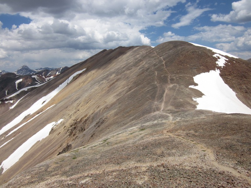 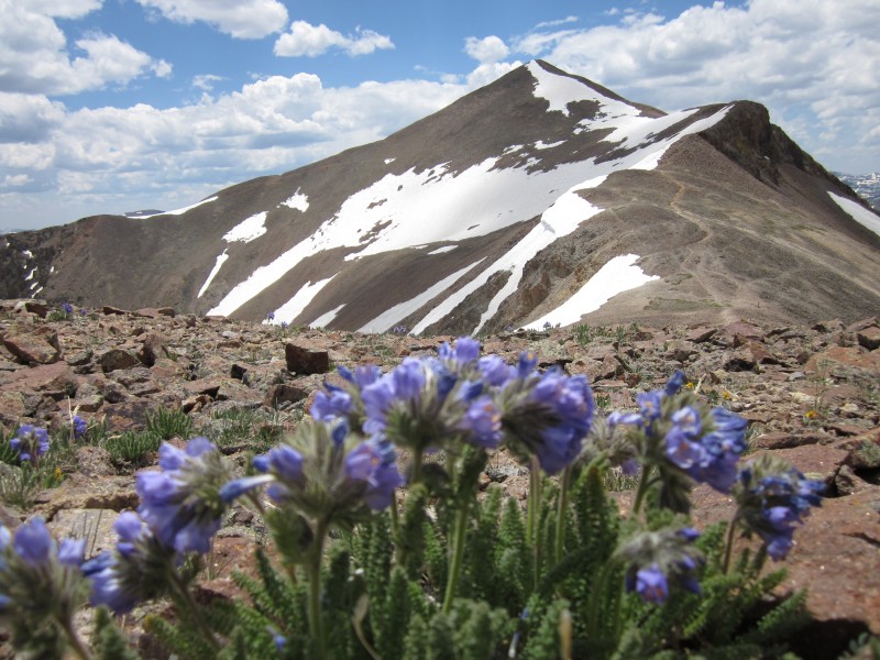   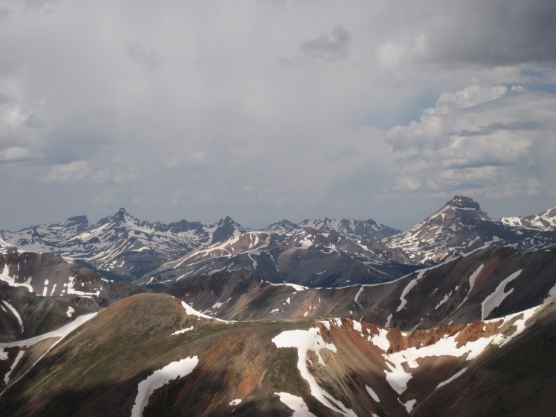 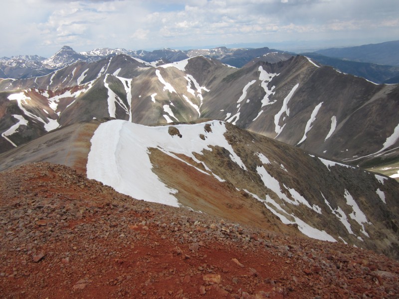 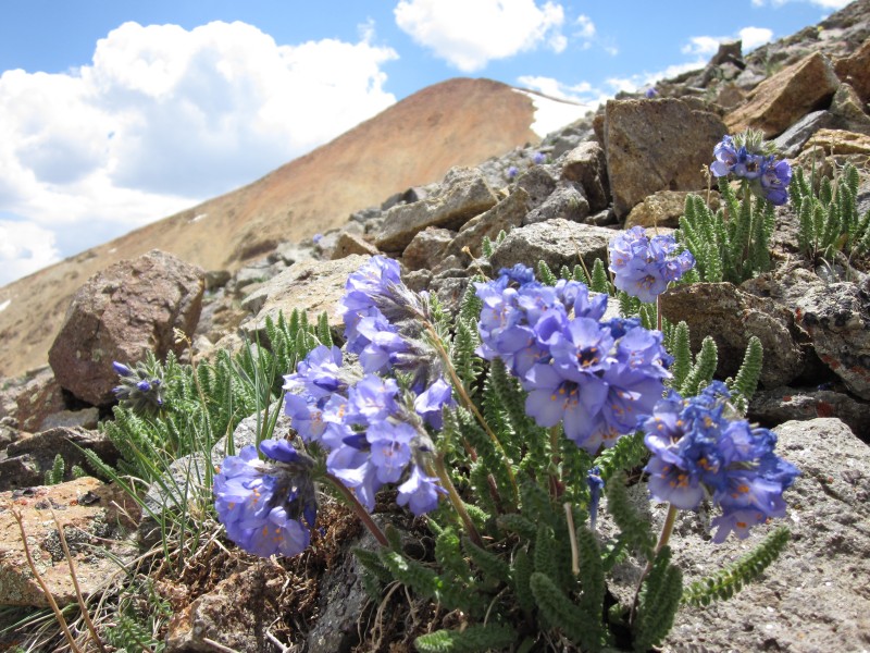 I heard a few distant peals of thunder around 2:30, but they sounded pretty distant. Still, I moved pretty quickly to get below timberline. As I walked along the loudly-gushing Silver Creek, I saw a beautiful mule deer who, due to the noise of the water, was completely oblivious to my presence. I watched him for probably ten minutes before he noticed me (and even when he did he didn't seem to care that I was there!). He was about 60 yards away from me. Other than a single marmot, this mule deer was the only other mammal I had seen since I left Mill Creek. However, a bit further on I passed an orange tent and two hikers, assuring me that human civilization still existed. It got windy and dark as I got closer to the Silver Creek/Grizzly Gulch trailhead, but it never did rain and lightning kept its distance. I was at the trailhead at 4:15 and then continued down the road toward the campground. A few folks who were driving back from the Cinnamon Pass offered me rides down, but by that time I decided I'd feel like I cheated myself if I didn't make it all the way back by foot. I was back at my car by 6:40. I soaked my sore feet in the icy waters of Mill Creek for a few minutes, changed into some sweat-free clothes, and then drove to Lake City to grab a coffee before heading to Creede and tomorrow's planned ascent of San Luis Peak. I had drove into the San Cristobal Lake area when it was dark, so driving out in daylight was a beautiful experience"so majestic and inspiring. 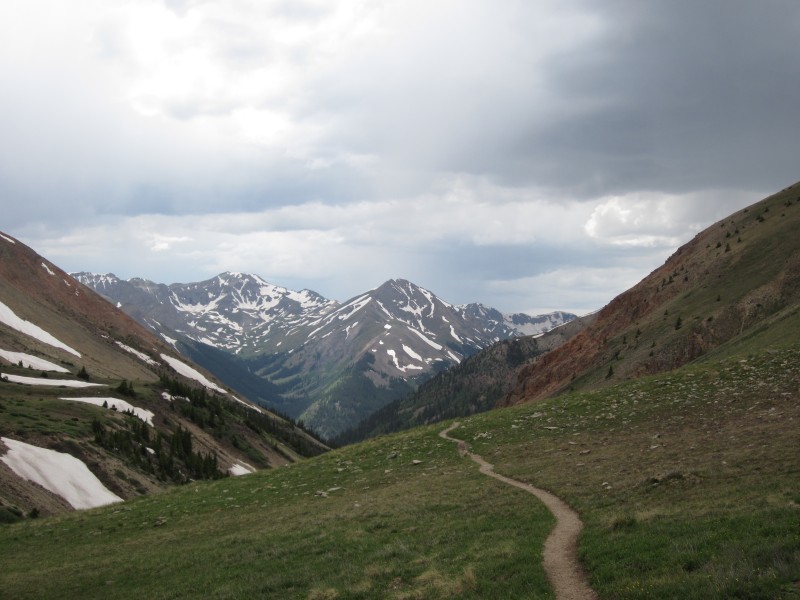  After my coffee stop in Lake City, I started driving toward Creede. However, I found myself stopping every few minutes to take another photo from the road. When I reached the Windy Point Overlook at around 9:30, the sunset over Uncompahgre and Wetterhorn convinced me that I needed to spend the night there to catch the sunrise. I fell asleep in my car watching the moon move across the distant mountains and reflecting upon the beauty and remoteness of the San Juans. 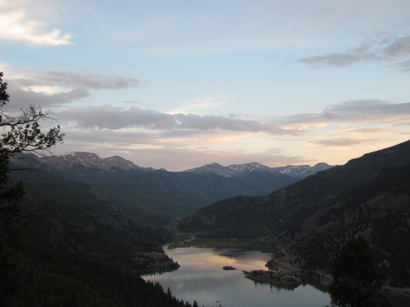 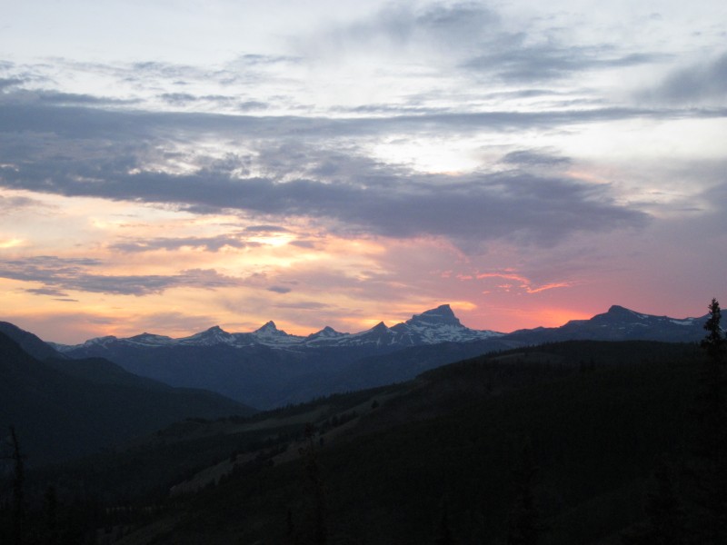 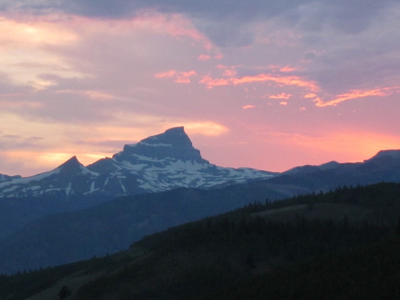 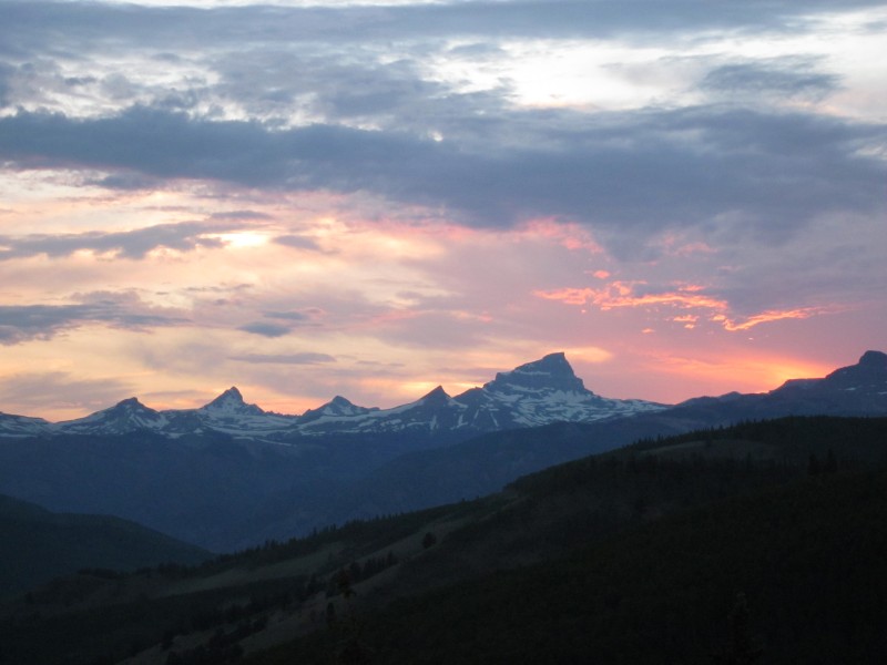 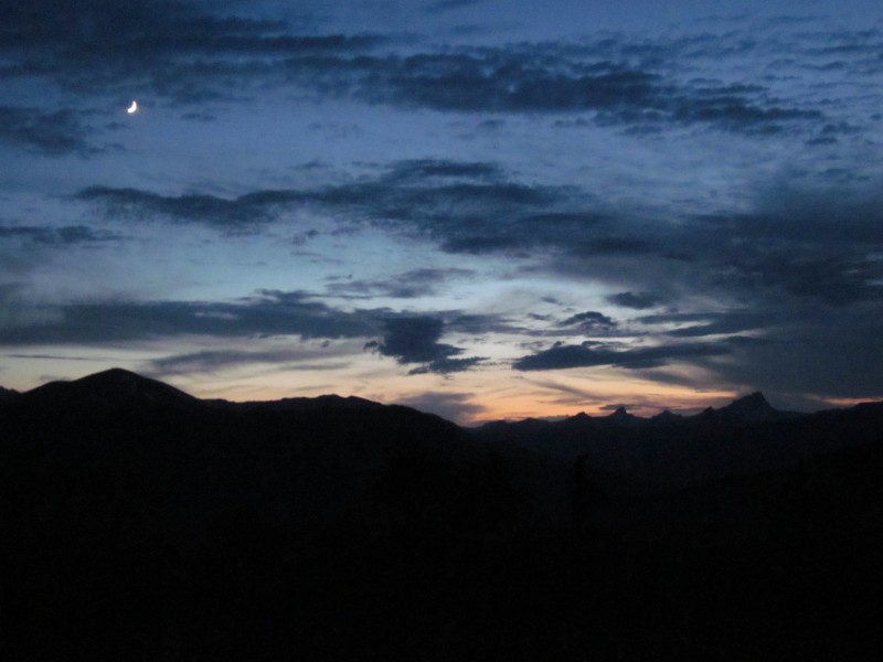 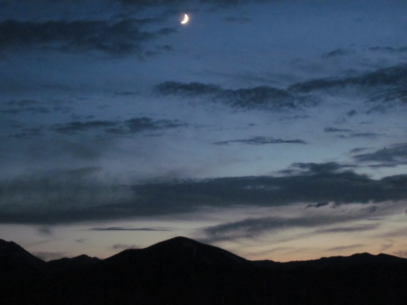 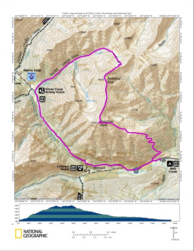 Thumbnails for uploaded photos (click to open slideshow):  My route (click on image to enlarge).")
 From Mill Creek, looking up at a rather daunting start.")
 On top of Sunshine's east ridge, looking toward the summit.")
 Looking back along the east ridge.")
 Redcloud Peak. Uncompahgre can be seen to the left.")
 Don't know who made this cairn, but that's some nice craft!")
 From Sunshine's summit, looking north at Wetterhorn, Matterhorn, and Uncompahgre.")
 Point 13,432 (a.k.a.,")
 Heading over to Redcloud--doesn't get much easier than this.")
 Looking back at Sunshine as I start up Redcloud's southwest slope.")
 Approaching Redcloud's summit.")
 Handies from the summit of Redcloud.")
 Wetterhorn, Matterhorn, and Uncompahgre from Redcloud's summit.")
 Descending Redcloud's northeast ridge.")
 Looking back at Redcloud's summit.")
 Heading west on the Silver Creek Trail with a good view of Handies.")
 Walking back to Mill Creek along the road; this spot probably would've ripped out my transmission.")
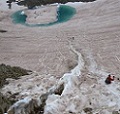
 San Cristobal Lake at dusk.")
 Looking westward as the sun sets behind Wetterhorn, Matterhorn, and Uncompahgre. Taken from the Windy Point overlook on CO-1")
 Uncompahgre.")
 I just couldn't get tired of this view.")
 Moon over the San Juans.")
 Red Mountain.")
|
| Comments or Questions | ||||||
|---|---|---|---|---|---|---|
|
Caution: The information contained in this report may not be accurate and should not be the only resource used in preparation for your climb. Failure to have the necessary experience, physical conditioning, supplies or equipment can result in injury or death. 14ers.com and the author(s) of this report provide no warranties, either express or implied, that the information provided is accurate or reliable. By using the information provided, you agree to indemnify and hold harmless 14ers.com and the report author(s) with respect to any claims and demands against them, including any attorney fees and expenses. Please read the 14ers.com Safety and Disclaimer pages for more information.
Please respect private property: 14ers.com supports the rights of private landowners to determine how and by whom their land will be used. In Colorado, it is your responsibility to determine if land is private and to obtain the appropriate permission before entering the property.