I am coming close to completing my quest to climb all the Colorado 14ers and so my choices for new peaks within this list are growing exceedingly small. I had always wanted to climb Mount of the Holy Cross via the Halo Ridge route as it looked like a very fun route with lots of nice scenery! Upon hearing the new that Tigiwon road was closed to automobile traffic, my stubbornness to just wait till it reopened and the absence of any desire to add 16-17 miles to an already strenuous trip, lead me to investigate other routes. Discussion on 14er.com and consultation with Dawsons 14er guide lead me to choose the Holy Cross Ridge route. There have not been any recent trip reports so I didn't really know what to expect for snow coverage, but the forecast for Saturday was awesome, so I packed up and headed out. The unknown conditions and the prior difficulties I have read about regarding travel in this area lead me pay special attention to preparation and I brought an ice axe, traction assistance, gators, an up to date and detailed map of the area and of course the essentials.
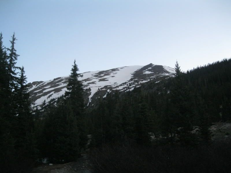
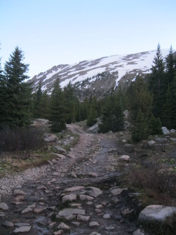
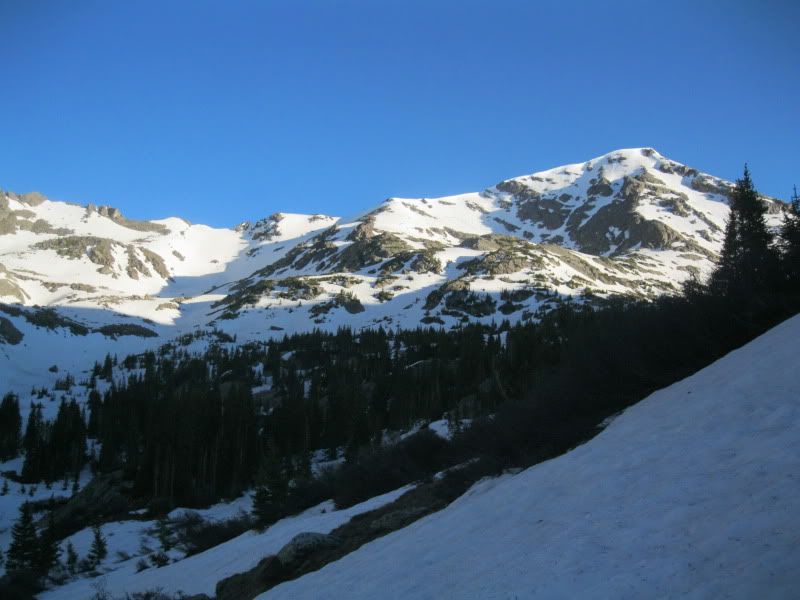
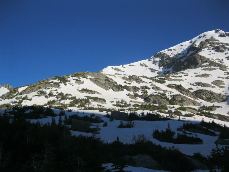
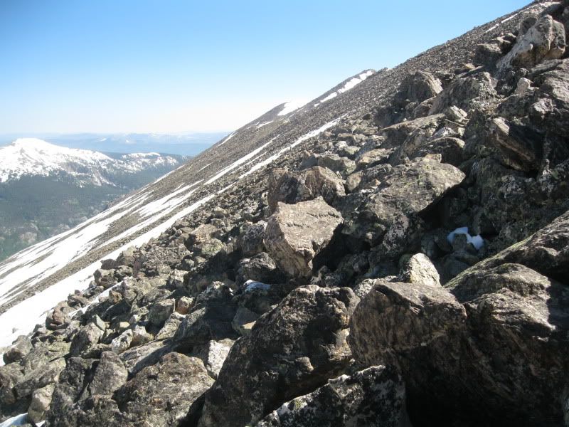
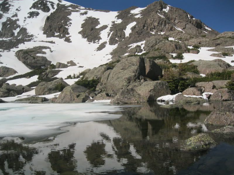
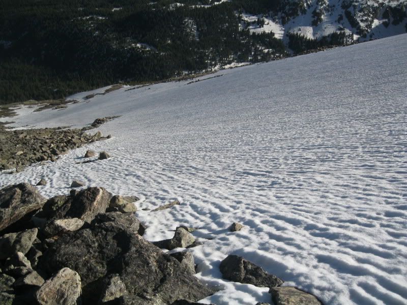
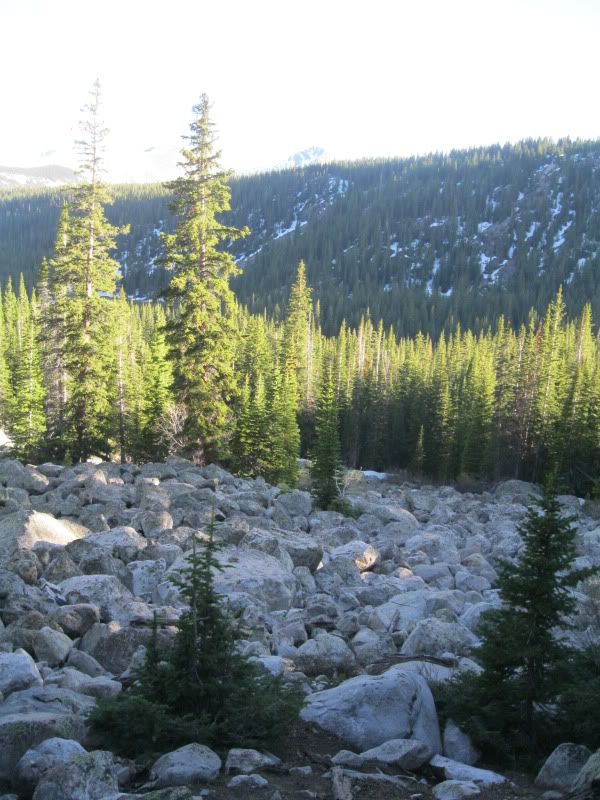
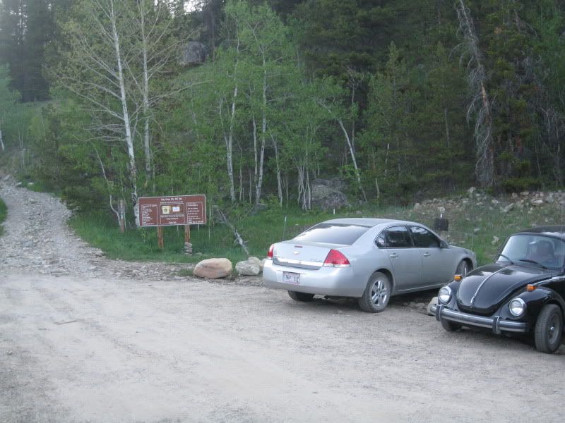
The trail head begins at the Holy Cross 4x4 road. There are two options for access points: one right off Homestake road, and one a bit higher up at the end of Missouri Creek Road and Homestake Collection System Road. In retrospect I would really try to start from the upper access point; however as my car is not a 4x4, or even a good off road 2 wheel drive I was forced to start from the lower point. This is a rough road and I had read from another 14ers.com member that modified vehicles should only attempt it, and I would have to agree. The road is clear up to the area where the trail to Hunky Dory lake was suppose to be. I never found the trail head as snow and the river impeded my progress but I just left the road and kept to the east side of the river (French Creek I believe). I left the road about where there is a bunch of now snowmobiling signs and continued up the basin. The snow was sparse at first but quickly increased and soon it was constant through the trees. I was able to walk on top of it without snowshoes as it was early with the exception of the beginnings of drifts, around trees and also in random places on occasion. Gators are certainly necessary and were throughout the trip. I thought about trying to cross the river as the trail was suppose to be on that side, but there was snow on the banks at most places which made for a sketchy crossing, so I continued up on the east side. Eventually it opened up and I was able to make better progress and saw the first of the seven sisters lakes. The pictures below reflect the 4x4 road and the snow conditions from this part of the trail.
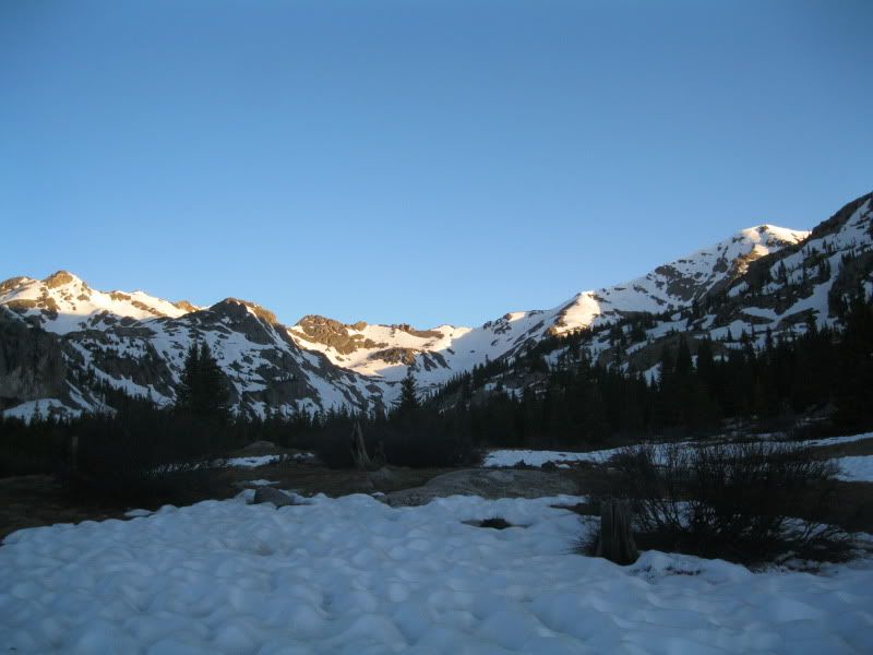
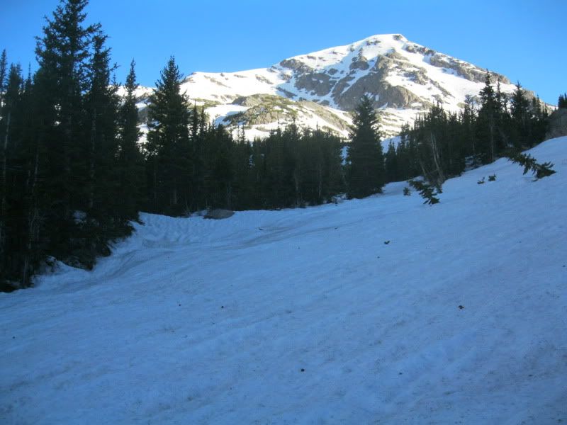
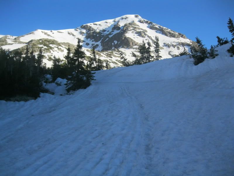
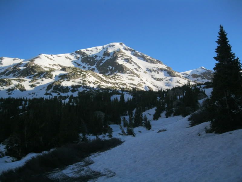
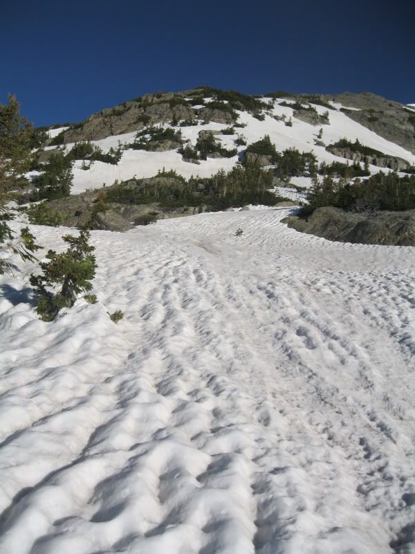
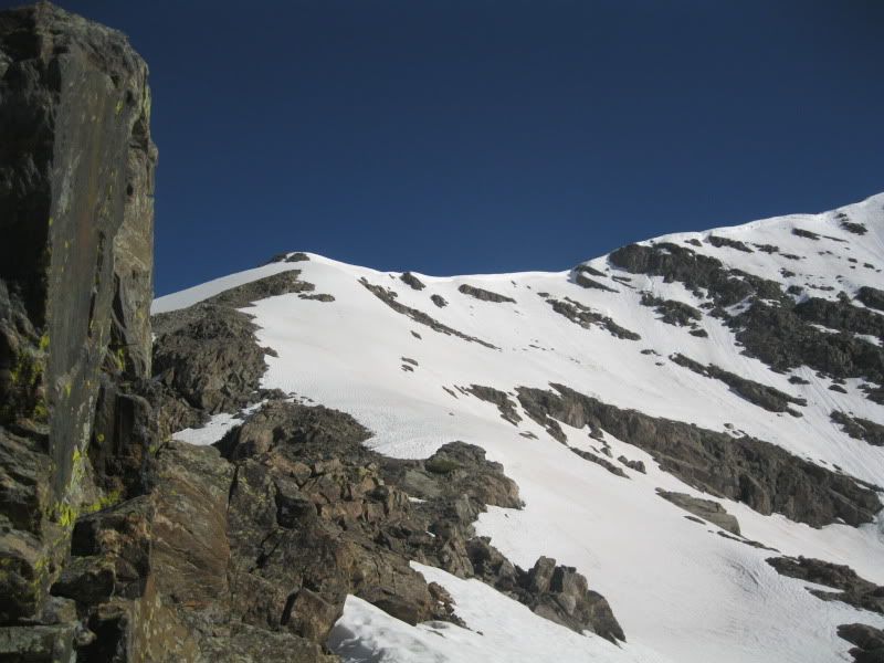
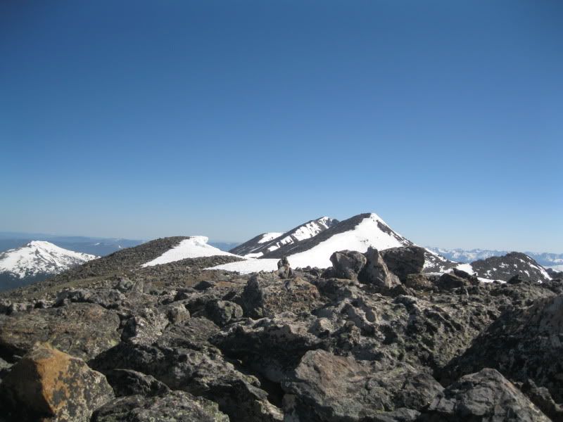
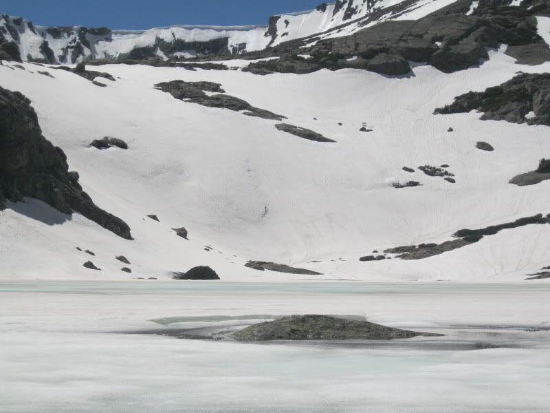
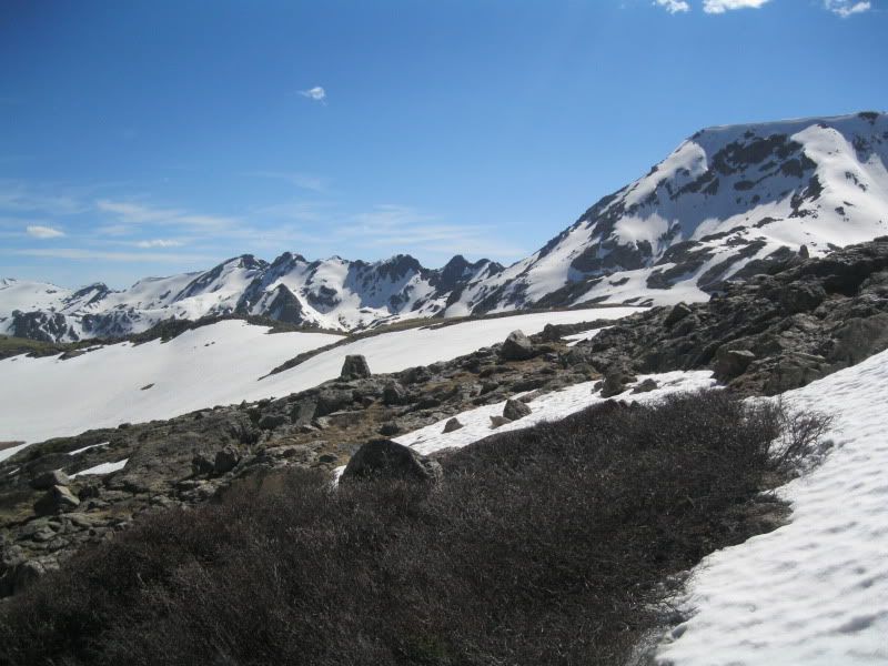
At this point the sun was coming up and I figured post holing was evident and I had located the Holy Cross Ridge and scouted a nice route up the ridge. This is a deviation early from the route described in Dawsons book; however it seemed like my best option. The pictures below show the ridge from a distance (its the ridge on the left of the picture), and then from the first Seven Sister Lake.
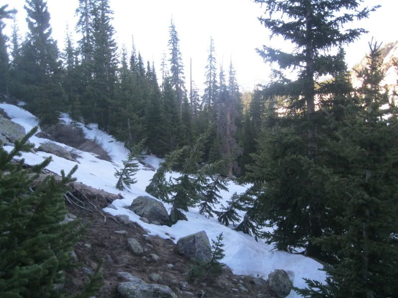
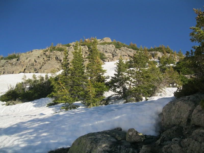
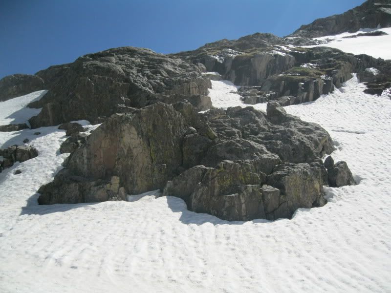
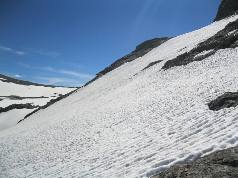
This little ridge was exactly what I expected and as the snow softened it was nice climbing and the exposed rock was solid and fun to climb. Below are a few pictures from the ridge I chose.
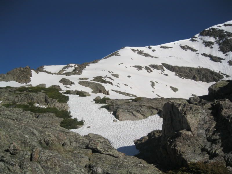
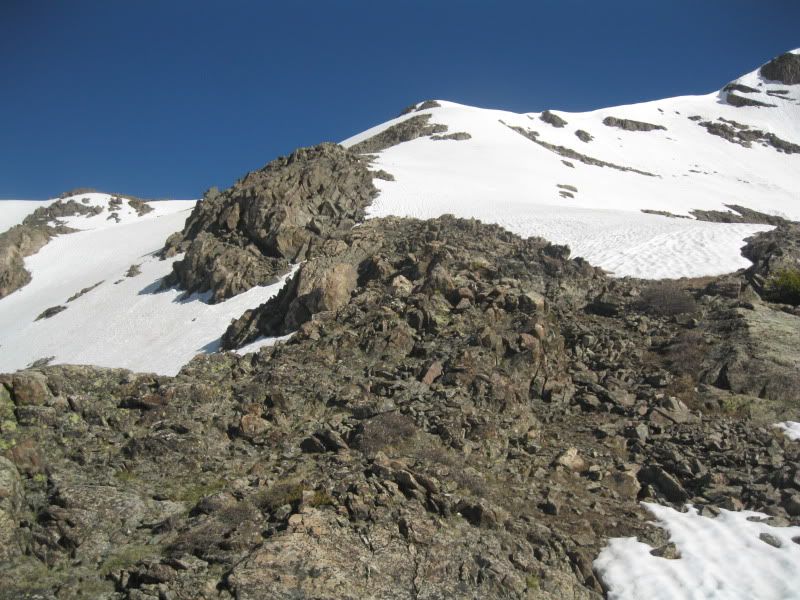
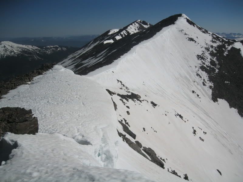
I reached the ridge and expectedly, the ridge proper was clear as it had been blown snow free and there were many cool cornices along the route! This is the route up to point 13.618.
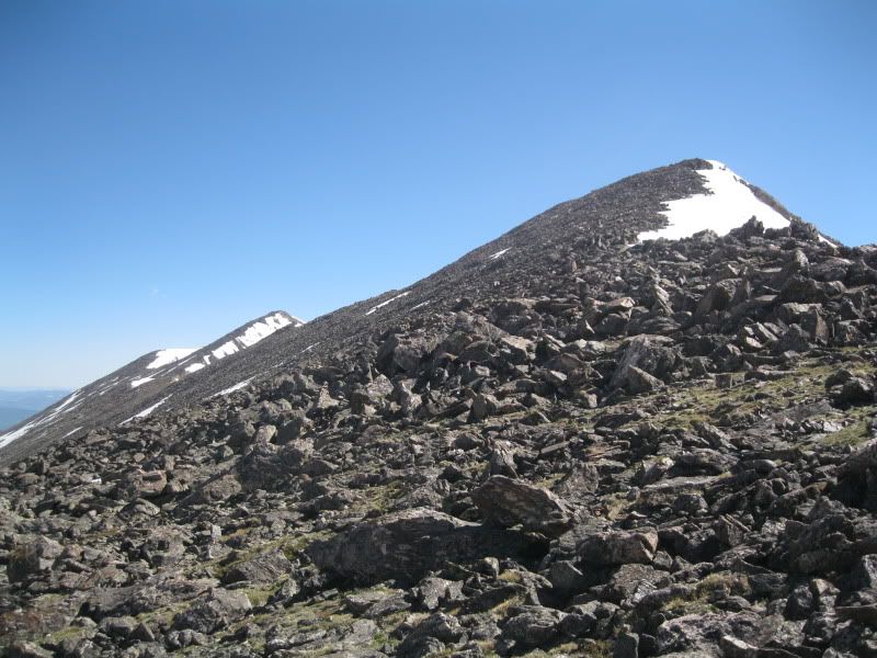
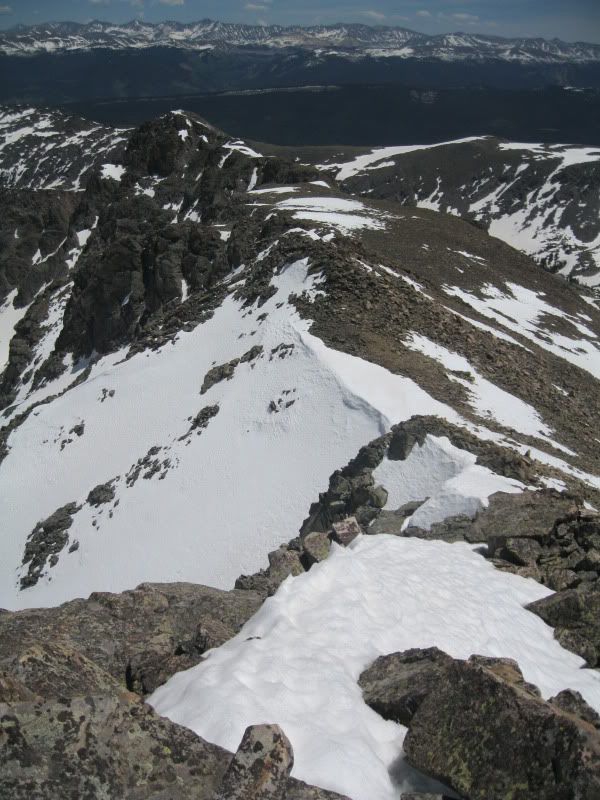
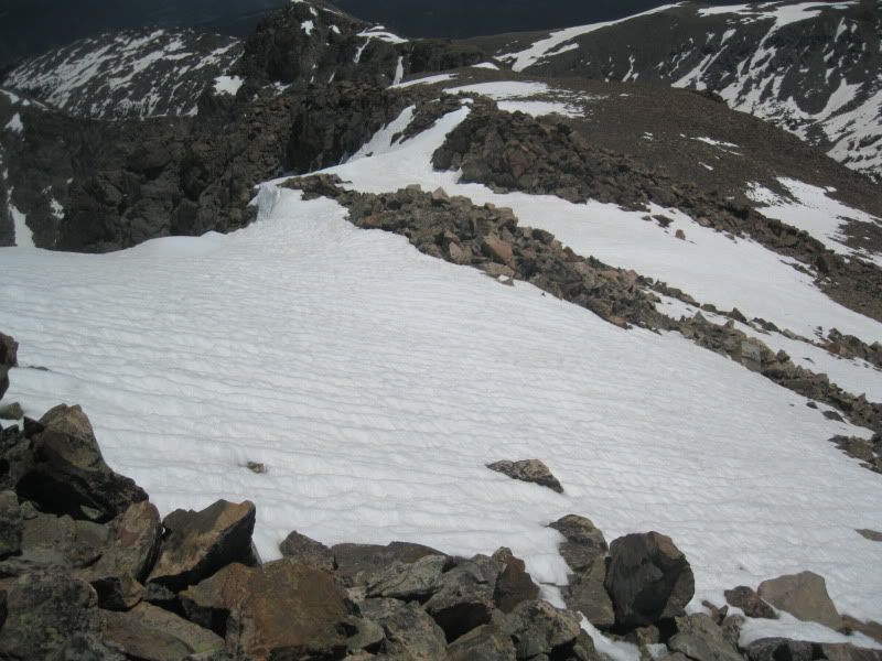
From point 13,618 it was a ridge run over to the Mt of the Holy Cross. This was a long section and I don't think it has many visitors so there were no trails to speak of and many of the rocks are loose. I chose to skirt the summits on this ridge as I had a long day ahead of me and figured I would get the on the way back if I had the energy. Below are some pictures from the Holy Cross Ridge.

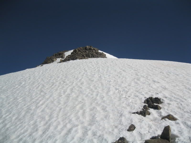
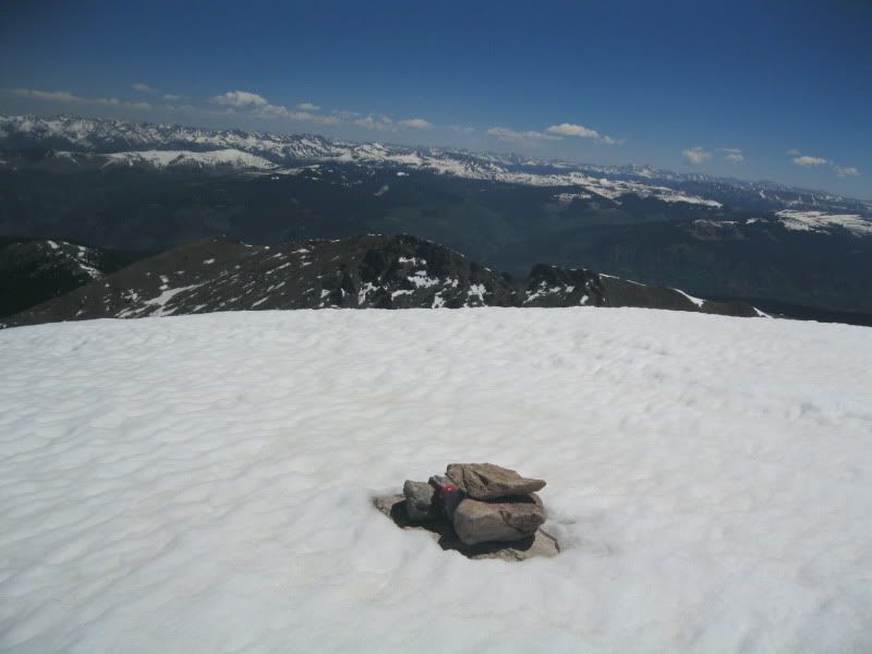
Once I reached the saddle between point 13,831 and Mt of the Holy Cross, it was a simple scamper up the ridge to the snow covered summit! I reached the summit a bit late at 12:00 but weather was no concern on this fabulous day! It really does provide some amazing views, that's for sure!
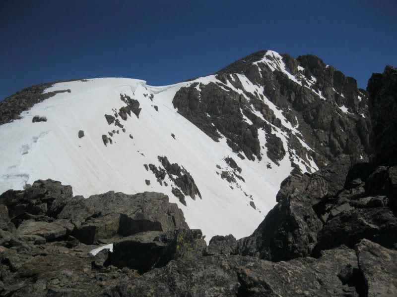


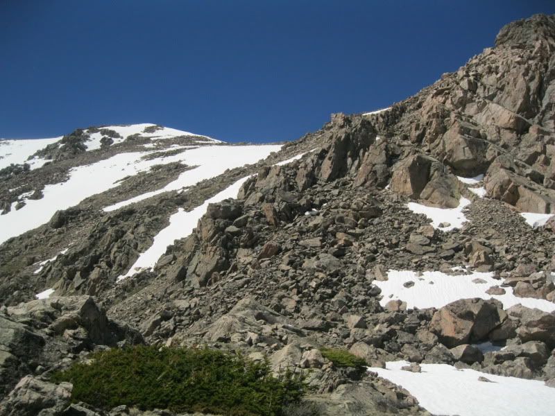
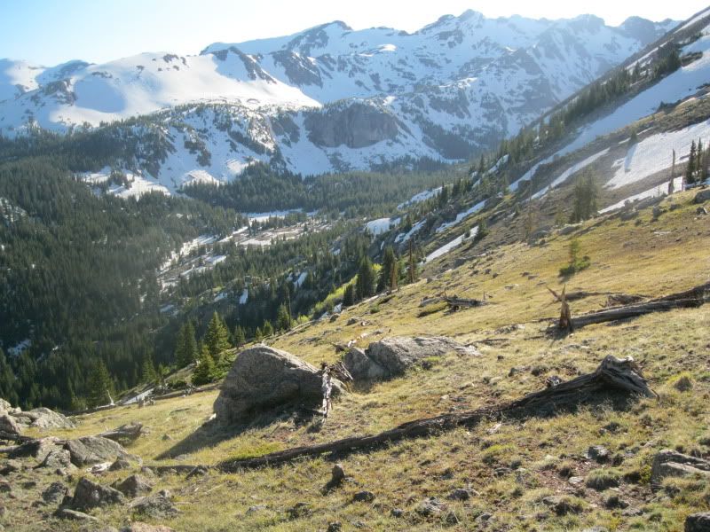
Now as I had come up the initial basin containing the Seven Sisters Lakes, it had dawned on me that that would be pure posthole hell with the hot weather that was forecasted... I don't like post holing and I didn't have snowshoes with me, so the whole trip up I was scouting out my return plan of attack... (for the record, there is an absolutely magnificent glissading option to the climbers left of the ridge I used to gain the Holy Cross Ridge, but it lead me down to the trees where I assume that post holing will be prevalent later in the day). I noticed that Fall Creek Pass was snow free and so was the ridge up to Whitney Peak, and looking at the map, and remembering the ridge I had seen from the 4x4 road, traversing over Whitney Peak was a viable option and considering the wonderful weather, at this point only a few whisps of clouds were even present. I had seen a way down to Fall Creek Pass off the ridge from point 13,768, but I couldnt see much detail of the ridge itself. Eventually, I decided to traverse the Halo Ridge route and possibly wander over to Notch Mt and back before making my way down to the lower Tuhar lake. I had seen a way that I could make it over and around the ridge off of point 13,768 and come up from the other side of Fall Creek Pass. Below are a few pictures of Halo Ridge on my way over to the Tuhar lakes.
Halo Ridge is a wonderful ridge, but by the time I got to point 13,376, the ridge over to Notch Mt was not even an option, I was already tired and had a long road ahead of me. Below are some pictures of the ridge and my decent to lower Tuhar lake.
The lakes were mostly frozen but were still beautiful, I took some time to relax and recover.

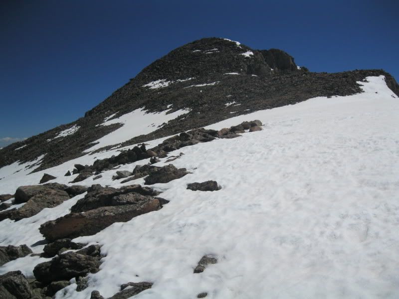
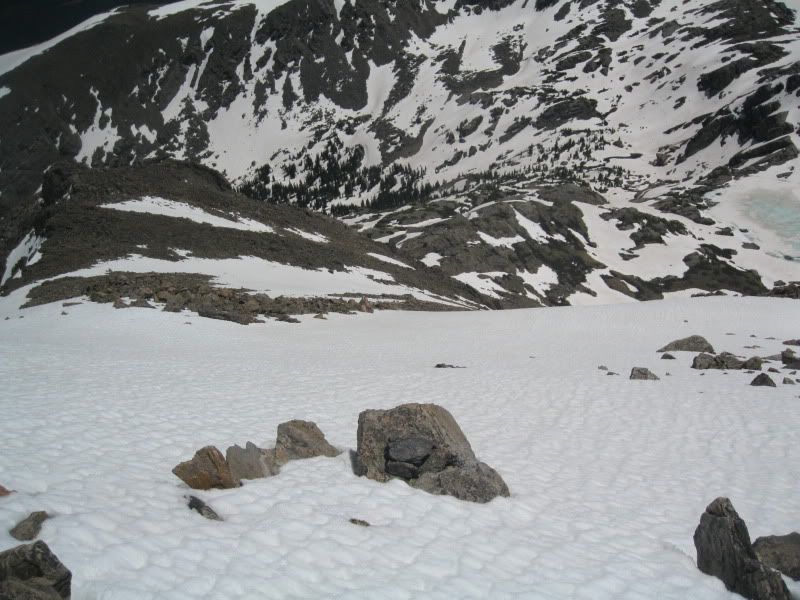
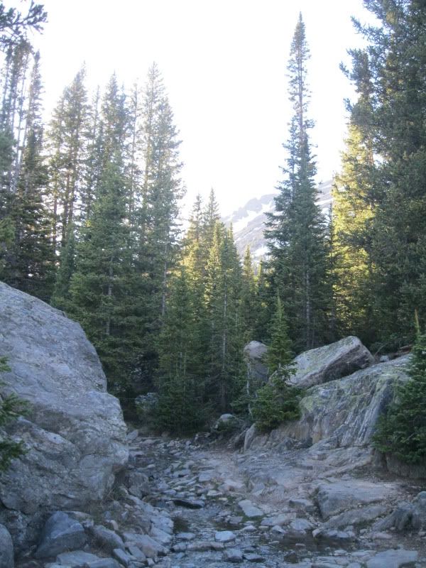
My route up to Fall Creek Pass was pretty snowy and filled with postholing near any rock and sometimes just randomly. I was able to walk on the increasingly slushy snow well enough to make my way across the mountain side without losing too much elevation and eventually made it to Fall Creek Pass. Pictures of this portion are below.
What a beautiful day! The fact that I was requiring more and more rests was not really a bad thing as it gave me more time to soak in all the awesomeness around me! The weather remained perfect and I was having a superb day despite the strenuous nature of my travels thus far.
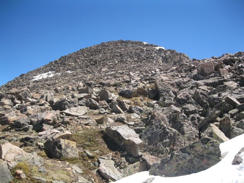
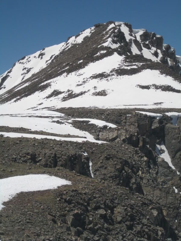
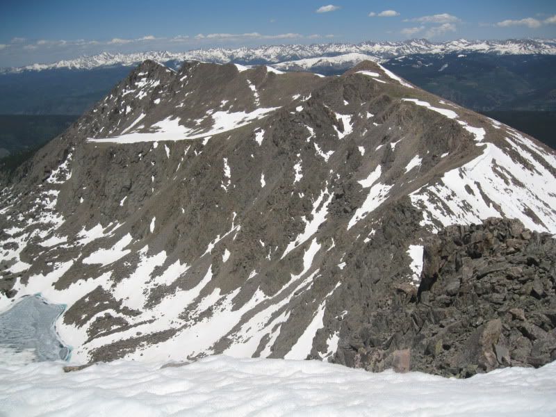
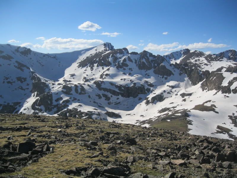
At this time I pondered the "proper" route described in Dawsons "Colorado Fourteeners", this route would have lead me up to the basin to the south of point 13,768. Point 13,768 is the central peak in the picture below and the routes up near it don't look promising to me. In retrospect I made the right decision turning off early and heading up to Halo Ridge early as coming up this basin would have been MUCH more difficult in my opinion and would likely have required crampons and considering my lack of inexperience and the cornice guarded ridge this would have been a bad option.
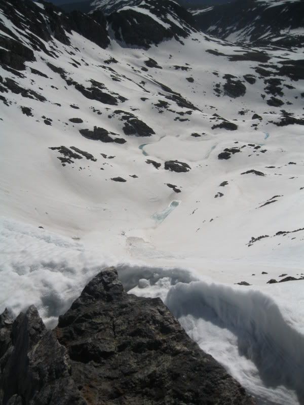
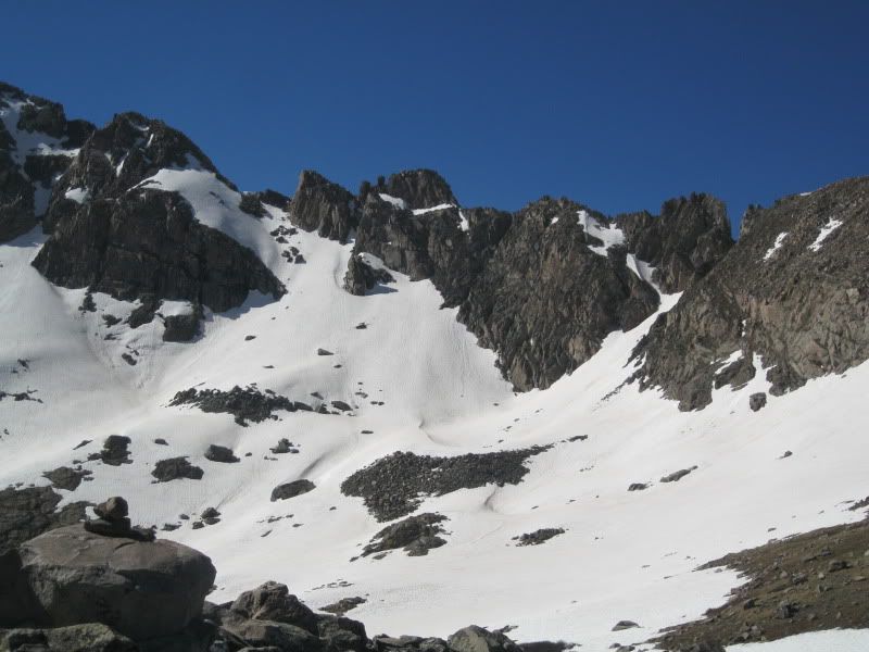
Also, my initial thought of using the ridge from point 13,768 to gain Fall Creek Pass would have also been a bad decision as the climbing required would have been way outside my skill level as you can clearly see from the pass.
Once up to the top of Whitney Peak, I rested then realized that the glissade in my future was going to be spectacular!! This was just what my knees and legs needed... elevation loss without any effort! The snow was a bit slushy so it was easy to control my speed and overall I think I lost over 1000 feet in elevation in minuets!


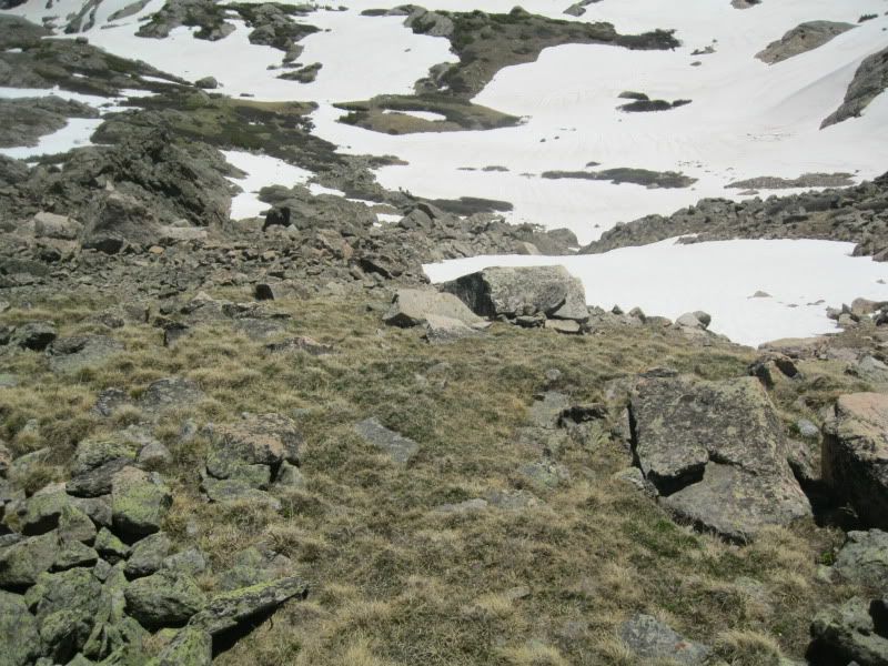
From here I made my way down the grassy saddle through the trees and back to the 4x4 road. This turned out to be a great option as I missed all the potential postholing in the basin between the 4x4 turnoff and Fall Creek pass... and got to have some fun glissading!
Overall this was an amazing trip!! The route I chose was strenuous and would have been a lot worse and definitely more dangerous with any sort of weather. Overall my times were as follows: start 4:40, Lower Seven Sister Lake 7:15, Beginning of Holy Cross Ridge 8:45, Summit Mt of the Holy Cross 12:00, Lower Tuhar Lake 3:30, Fall Creek Pass 5:30; Whitney Peak 6:00 and Finished at 8:00; total trip 15.5 hours including ample breaks and opportunities to saver this wonderful day!
Thanks for reading this LOOOOOONG report... but a long day requires a long report! Happy Trails!
|


