Download Agreement, Release, and Acknowledgement of Risk:
You (the person requesting this file download) fully understand mountain climbing ("Activity") involves risks and dangers of serious bodily injury, including permanent disability, paralysis, and death ("Risks") and you fully accept and assume all such risks and all responsibility for losses, costs, and damages you incur as a result of your participation in this Activity.
You acknowledge that information in the file you have chosen to download may not be accurate and may contain errors. You agree to assume all risks when using this information and agree to release and discharge 14ers.com, 14ers Inc. and the author(s) of such information (collectively, the "Released Parties").
You hereby discharge the Released Parties from all damages, actions, claims and liabilities of any nature, specifically including, but not limited to, damages, actions, claims and liabilities arising from or related to the negligence of the Released Parties. You further agree to indemnify, hold harmless and defend 14ers.com, 14ers Inc. and each of the other Released Parties from and against any loss, damage, liability and expense, including costs and attorney fees, incurred by 14ers.com, 14ers Inc. or any of the other Released Parties as a result of you using information provided on the 14ers.com or 14ers Inc. websites.
You have read this agreement, fully understand its terms and intend it to be a complete and unconditional release of all liability to the greatest extent allowed by law and agree that if any portion of this agreement is held to be invalid the balance, notwithstanding, shall continue in full force and effect.
By clicking "OK" you agree to these terms. If you DO NOT agree, click "Cancel"...
Spring skiing - still going strong in the San Juans
Climb of Handies Peak via American Basin; summit ski descent via Grizzly Creek
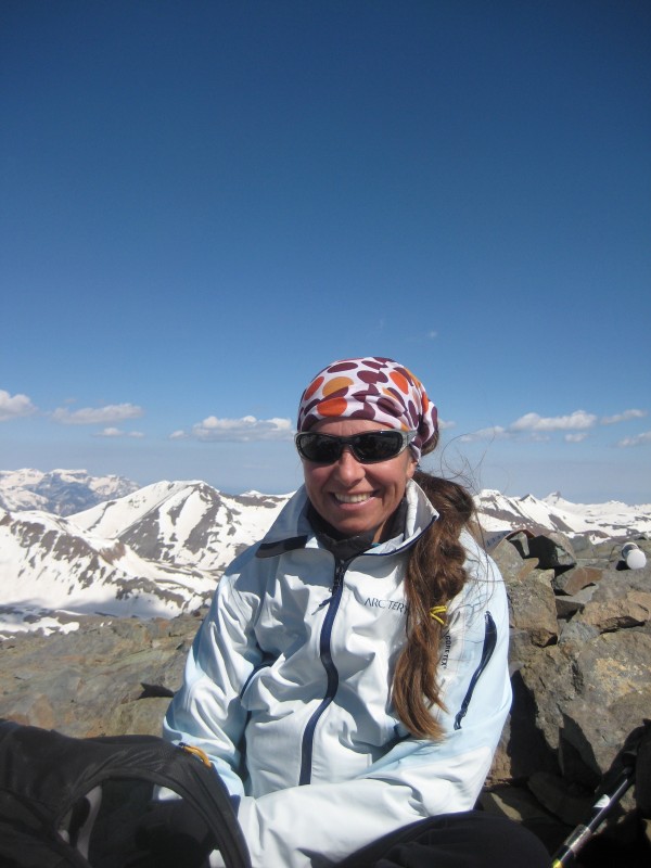
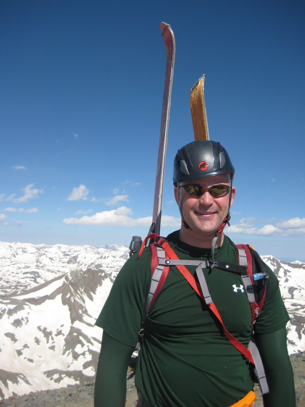
Crew: Grant, Gerlinde (telerina13), Matt (pioletski)
6 miles, 2800' climbed, 2400' skied
Though he wouldn't admit it, I'm sure Grant was a little disappointed at not having summited Yale when he joined me for a recon mission. Hoping to make up for that a little, Gerlinde and I invited him on our tour of Handies Peak, and it turned out to be a spectacular day.
Handies has a nice built-in feature; the American Basin trailhead affords a fast and efficient way to the summit once the road is plowed and melted out. Hikers who adhere to the 3000 foot rule will consider this cheating. I'm glad to report that ski mountaineers have no such scruples - in fact we live for the traverses that allow us to ski more vertical than we climb. We came close to achieving that on this trip.
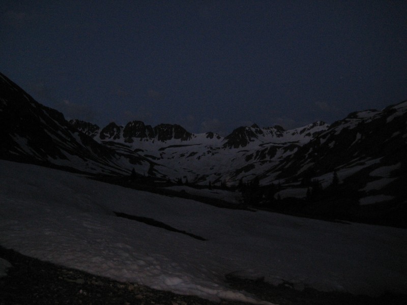
We left the American Basin trailhead at 5:30 am; note the darkness:
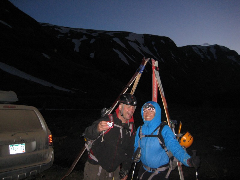
Put a camera in Grant's hand and he becomes a total goofball:
We started out booting on the intermittent snow but soon stopped to apply skins:
American Basin is a north-facing bowl, fairly well protected from the wind, which makes for a pleasant climb:
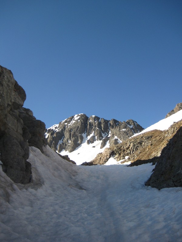
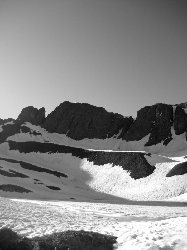
My Trails Illustrated map marks the route touching the shore of Sloan Lake before swinging east to climb Handies' flank. This turned out to be unnecessary, though consistent with my observation that man-made features are often inaccurately marked on these maps. Still, it gave me the opportunity to get this photo of the lake and headwall:
Spectacular views of Mt Sneffels...
... and of Gerlinde...
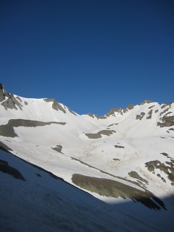
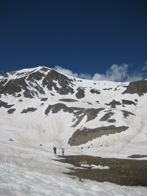
... unfolded as we climbed. The basin itself is an amazing piece of terrain. I need to come back and ski these couloirs one day:
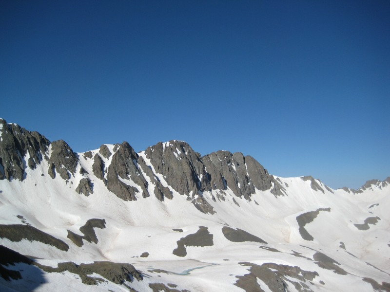
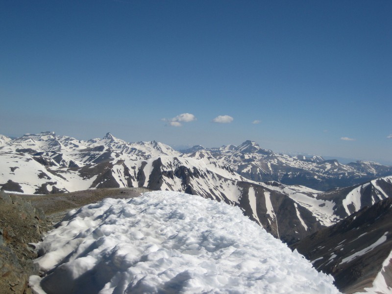
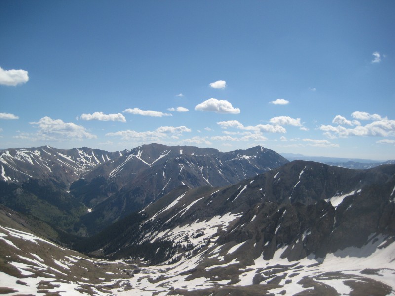
Handies must be one of the most scenic summits anywhere. The Grenadiers and the Windom group lie to the south:
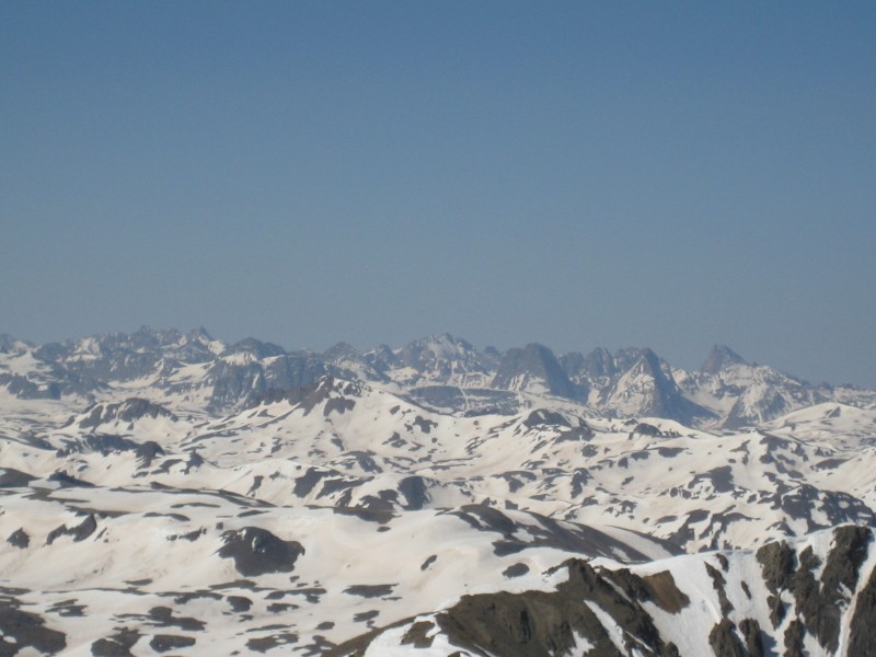
Wetterhorn and Uncompahgre to the north:
Here are my happy companions...
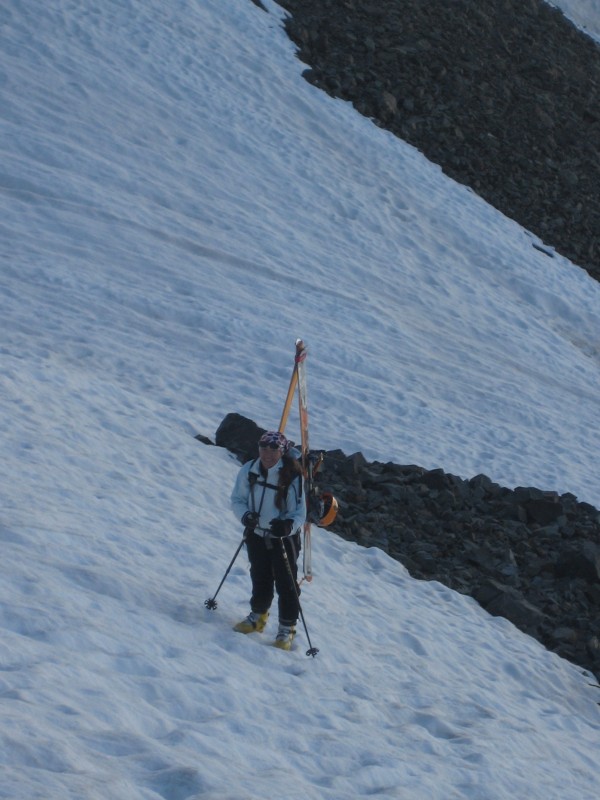
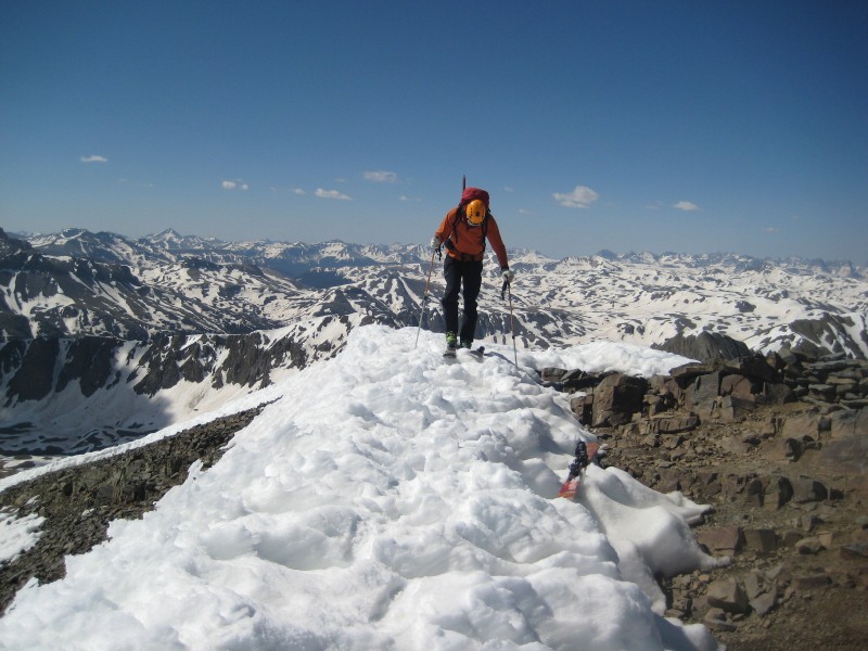
and myself, getting ready to ski:
We started off down the north ridge...
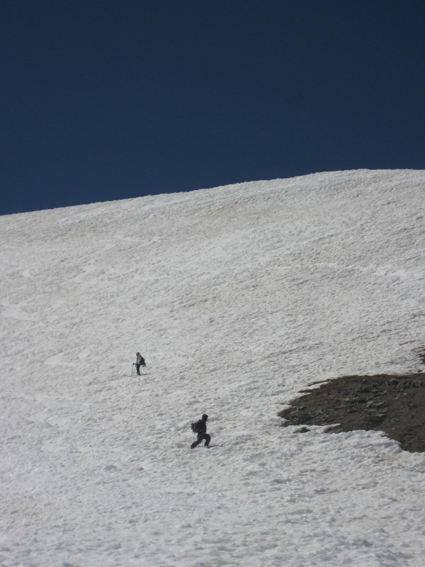
... passed above a prominent cornice, then dropped into the eastern basin:
Sunshine and Redcloud look more prominent from 13,000' than from the summit:
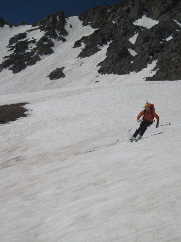
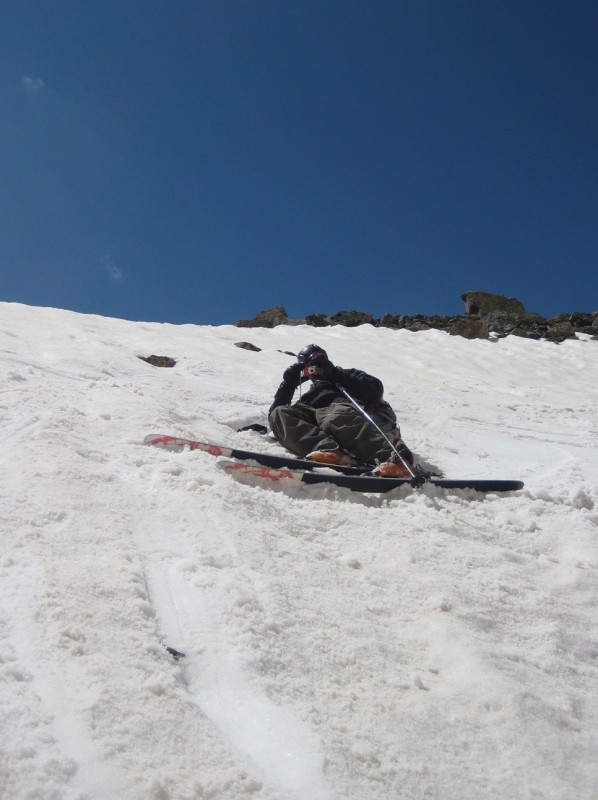
The snow was perfect spring corn, though the rough suncupped surface kept us on our toes. In some spots the suncups had deepened into craters, which didn't stop Gerlinde from making some elegant turns:
And myself...
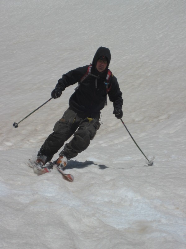
... and Grant. The guy can ski...
but I think I mentioned the equation, Grant + camera = goofball:
Handies may bear repeating, as the east face has several worthy ski lines:
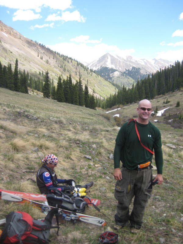
Form this point, the snow gradually softened to mush. We stayed on the south side of the creek so as to keep our skis on as long as possible. We took them off at 11,600 feet and immediately made our way across the creek to the dry north side of the valley for the hike out to the Grizzly Creek trailhead, where a cooler of beer awaited:
Thanks, as always, for reading!
Thumbnails for uploaded photos (click to open slideshow):
going through trip reports for those Grizzly lines. Thanks for posting this. Looks like a good crew and fun time.
Caution: The information contained in this report may not be accurate and should not be the only resource used in preparation for your climb. Failure to have the necessary experience, physical conditioning, supplies or equipment can result in injury or death. 14ers.com and the author(s) of this report provide no warranties, either express or implied, that the information provided is accurate or reliable. By using the information provided, you agree to indemnify and hold harmless 14ers.com and the report author(s) with respect to any claims and demands against them, including any attorney fees and expenses. Please read the 14ers.com Safety and Disclaimer pages for more information.
Please respect private property: 14ers.com supports the rights of private landowners to determine how and by whom their land will be used. In Colorado, it is your responsibility to determine if land is private and to obtain the appropriate permission before entering the property.