July 24, 2009
San Miguel Peak (13,752')
San Juan Range
Trailhead: Lake Hope Trail
Route: NE (northeast) ridge w/variation; descent of SE (southeast) ridge
Distance: ~6.25mi
Elevation Gain: ~3300'
Time to Complete: 7hrs. 35min.
Climbers: Carson Black & Darin Baker
Gear: daypack w/Essentials, helmet
Foreword
Over the winter, Carson and I talked about doing a trip together in the summer. Carson is a centennial finisher but is working on the bi-centennials. I'm a wanna-be centennial finisher, but I don't plan to finish the bi-centennials.
However, I don't mind climbing peaks outside of my "list" as long as they sound interesting, they're fun, or if they're in an area that I would like to see.
San Miguel falls under my "criterion," and Carson needed it for his list. Done deal!
We left from my house in Manitou Springs by 6pm on Thursday night for the looong drive to Telluride. Once we got to the TH, we would find a spot for my tent next to the trailhead to crash for the night.
Shortly before arriving in Telluride, Carson says, "shoot!"
I gave him a quizzical glance and ask, "what?"
"I think I forgot my bedroll." Ugh.
Sure enough, he did!
But he made it through the night sleeping on his windshield sun visor, some clothes, and cardboard!
Meanwhile, I'm all cozy on my Big Agnes!
The Approach
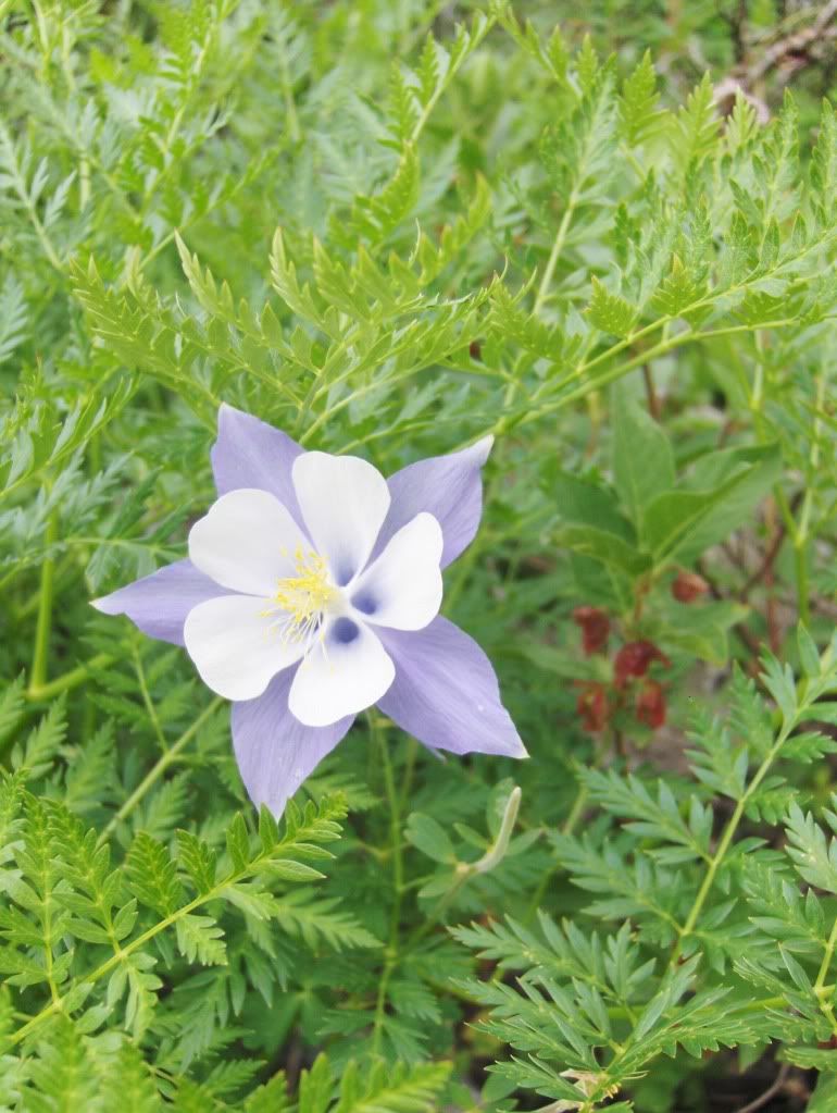
We were on the trail by 6:40am, cruising up the well defined and maintained Lake Hope trail. Wildflowers were abundant and beautiful, as were the views of the surrounding peaks.
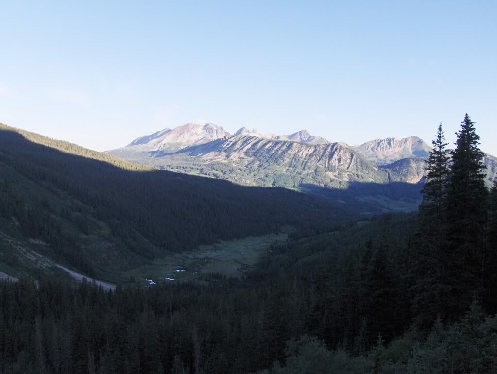
Early morning light on the Wilson group
We arrived at Lake Hope by 8am and I could see why this lake is a popular destination!
We were using the route description by Mike Garratt and Bob Martin (from their guidebook, "Colorado's High Thirteeners"), so we worked our way around the NE side of the lake, staying at the base of the cliffs.
Our route from the northern end of the lake would be up the grassy slopes above the lake.
Once above the lake, we stopped for sunscreen, fuel, and pictures.

Carson coming up the grassy slope. We skirted the base of the cliffs in the background to get around the lake.
The weather was looking great, so we were taking our time going up the slope to gain the NE ridge.
Looking up towards the NE ridge
The Climb
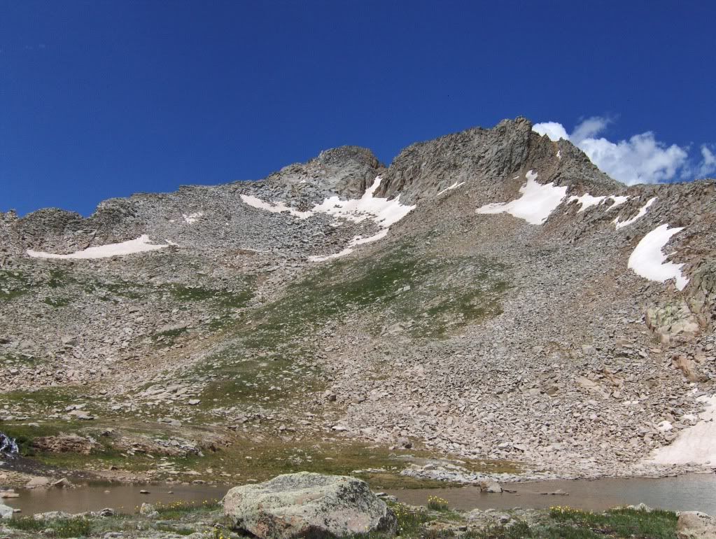
As we got closer to the ridge, it didn't look as inviting as I had hoped. I could see a couple of gullies that looked fairly steep, and filled with loose rock and dirt. Plus, the top of these first gullies both had large towers on both sides. We decided to keep contouring to the SW (southwest) to look for a better way.
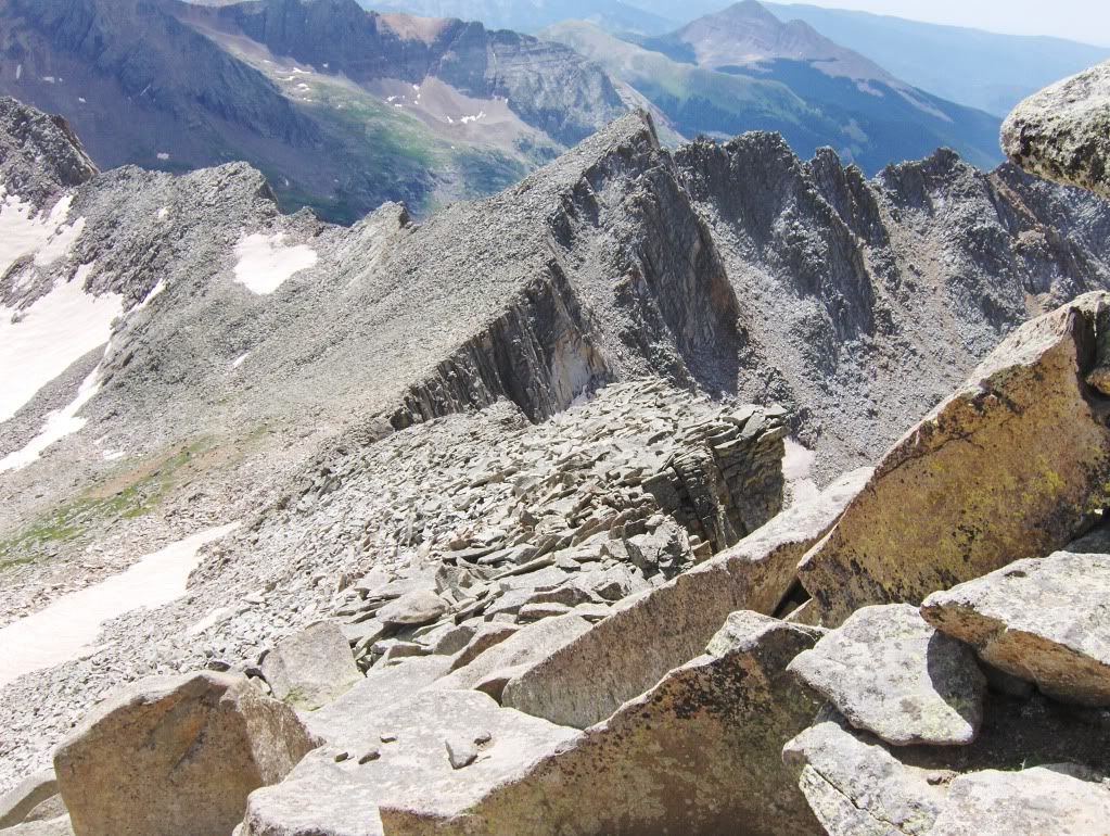
Eventually, we ended up skirting much of the face until we thought we were underneath the summit, and then shot up part of the face, but eventually ended up on the SE ridge.
A look at the face
(Picture taken on our descent)
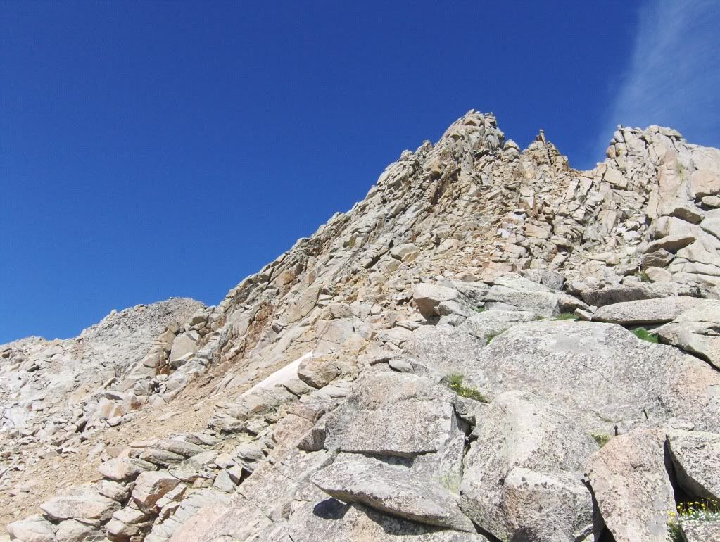
We took the ridge (on looker's right) until we were parallel with the top of the snow field; from there we contoured (left) across the face until we were beyond the couloir, and then went up the face, eventually hitting the SE ridge for the finish.
The climbing consisted of going over and sometimes between boulders, but the climbing was good. Most of it was solid, but care still needed to be taken.
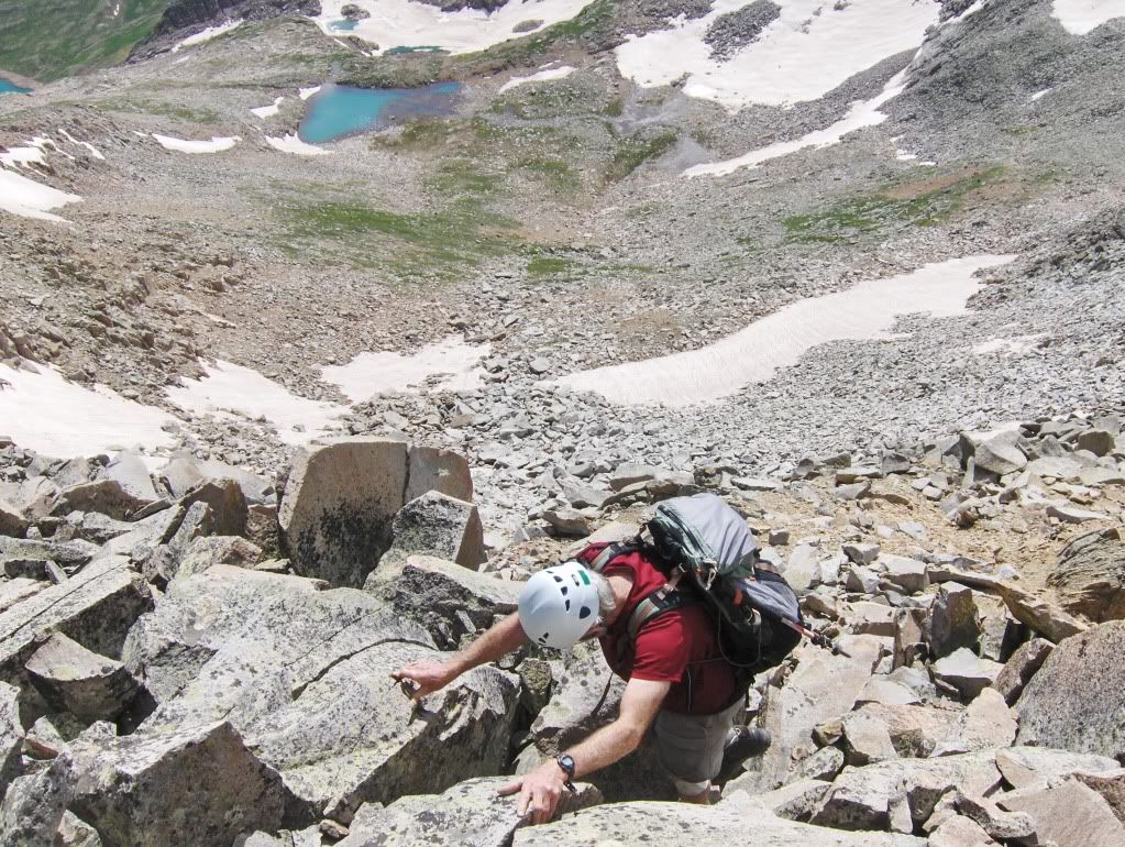
Carson scrambling below the summit
Ahh...good times!!
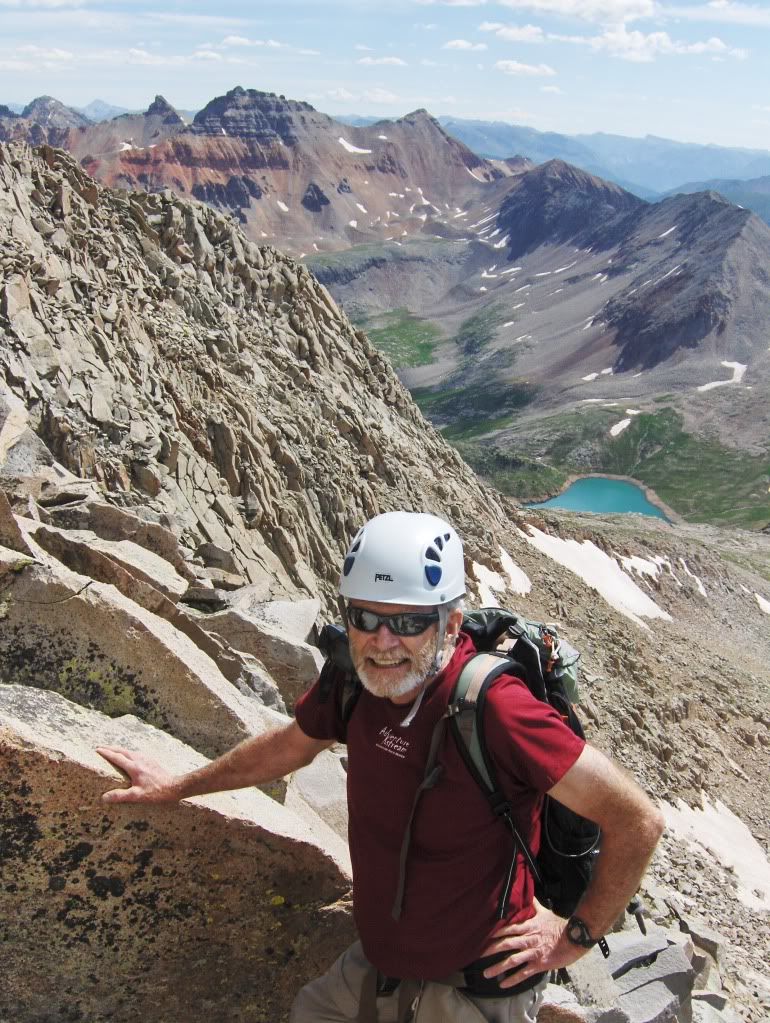
We reached the summit at 10:50am. In Garratt and Martin's book, it states, "San Miguel Peak has two boulder-strewn summits. The east one is higher."
We were on the eastern most one, but I counted two more summits! One had boulders like ours, but the other one looked like scree, and it looked as high as the one we were on! However, the climb to it looked steep, loose, and exposed.
I think I'll call this one good!
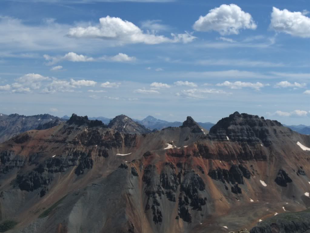
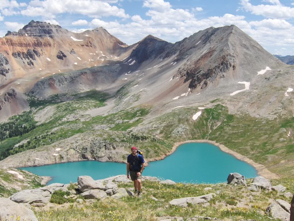
Pilot Knob, US Grant, Uncompaghre (centered in the distance), Golden Horn, and Vermillion (l. to r.)
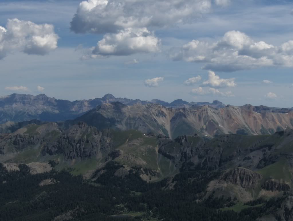
Sneffels group, and somewhere in there is "T0" and Dallas, goals for Saturday and Sunday
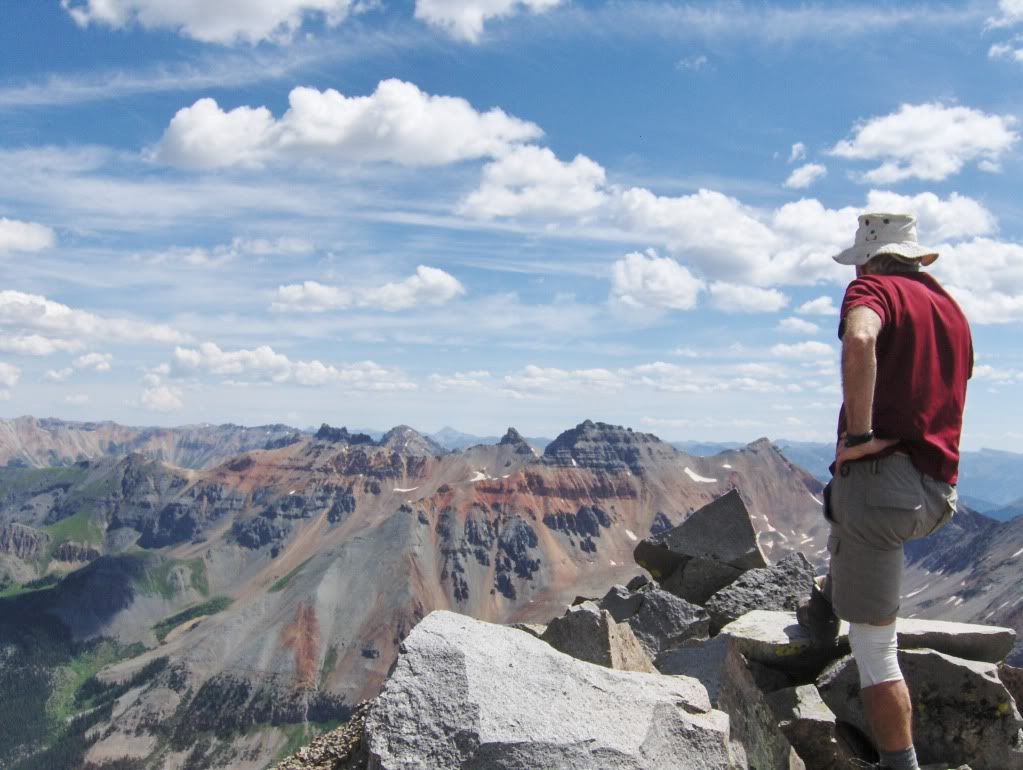
We enjoyed the views for about a half hour before descending the SE ridge.
Looking down the SE ridge
Going down the SE ridge went without a hitch. We didn't descend all the way to the saddle, but took a line off the east face of the ridge where we caught a snow field for an effective standing glissade.
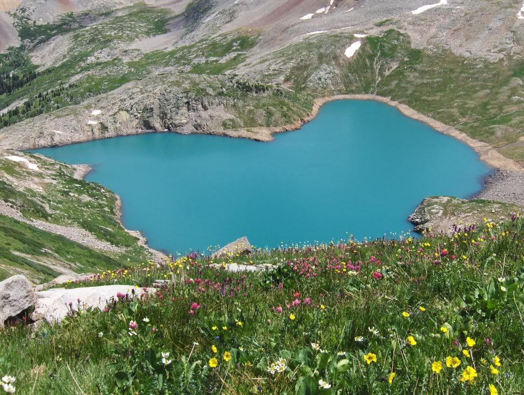
Once in the basin below, we contoured around the east side of the unnamed lake at 12,860' and headed north to reconnect with our ascent line of the lower portions of the NE ridge.
Me with Lake Hope below
As we came closer to our ascent line, we found a gully that would lead us down to Lake Hope, so we took that down.
Carson decided to check out an old faint trail on the north side of the lake, while I ventured around the south side of Lake Hope to get back on the trail. We met up down the trail for the rest of the hike out.
Hindsight & Personal Notes
Using the description by Garratt and Martin makes me wonder why they would suggest the NE ridge when the SE ridge goes so well. Not that I know much about their route (since we didn't climb it), but the access to the SE ridge is straight forward and the climbing is on good, stable boulders. Either way, this peak is worth the effort!
And for those that like to "think outside the 14er box," this peak will fulfill those thoughts!
With the easy accessible trail, a nice hike to the lake, followed by some route finding (albeit easy), and to finish with some nice scrambling to a panoramic perch of a summit, San Miguel won't disappoint.
This peak was a nice way to start our weekend for sure!
Now...onto Telluride to get Carson a sleeping pad before our backpack up Deep Creek/Sneffels Highline trail for plans to climb "T0" and Dallas.
Thanks for reading,
Darin
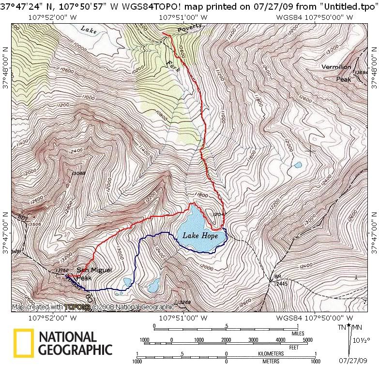
Approximate route. Red is ascent, blue is descent.
|


