| Report Type | Full |
| Peak(s) |
Mt. Jackson - 13,675 feet |
| Date Posted | 09/07/2010 |
| Date Climbed | 09/05/2010 |
| Author | d_baker |
| A Wilderness Experience on Mt Jackson |
|---|
|
September 4 & 5, 2010 Hikers: Carson Black & Darin Baker Mount Jackson (13,670') Sawatch Range Holy Cross Wilderness Trailhead: Cross Creek Route: N/NE slopes Distance: Day 1, Approach to Base-camp: ~7mi (one way) Day 2, Summit Day: ~6mi (RT, from camp) Combined Total Distance: ~20mi (RT) Elevation Gain: Day 1, Approach to Base-camp: ~1840' Day 2, Summit Day: ~3760' Gear: pack w/Essentials and overnight gear (e.g., two-man tent, sleeping bag, pad, Jetboil, Aquamira water treatment, etc.) Resources Used for Trip Planning: Mike Garratt & Bob Martins' Colorado's High Thirteeners guidebook (referred to as G&M from here on), National Geographic's TOPO! mapping software, NOAA weather forecast accessed from 14ers.com Foreword Labor Day Weekend, the figurative bookend to summer is here, so Carson and I are out on the trail, fitting in one more trip in the fading summer. I could only dedicate two days for an outing, so I preferred something fairly close to home. Looking at Carson's waning bicentennial list, Mt. Jackson became our choice. Jackson is located NW of Mount of the Holy Cross (MHC), the northern most 14er in the Sawatch Range. Both peaks are located in the Holy Cross Wilderness, but from my recollections, MHC does not have a "wilderness" feel (perhaps due to the 14er crowds). From beginning to end, this trip had a "wilderness" feel. Aside from day-hikers on the first 2-3 miles of the well established Cross Creek trail, the trail became secluded and felt remote. Furthermore, once out of base-camp and on the approach (a.k.a., bushwack) to Mt Jackson, a wilderness feeling continued to envelope us. Day 1 Approach to Base-camp We left the trailhead at about 1:30pm on Saturday and I quickly realized this trail was unlike other Sawatch trails I've been on (that I recall anyway). In several places, the trail parallels ribs of granite slabs that are covered in moss, in addition to large rounded granite boulders strewn throughout the forest floor near the trail. 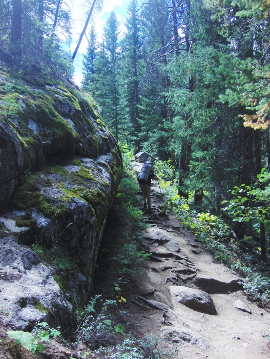 The trail goes through the occasional aspen grove as well, so this hike would be an excellent choice for a fall hike. Currently, the yellow of the aspens are starting to appear. 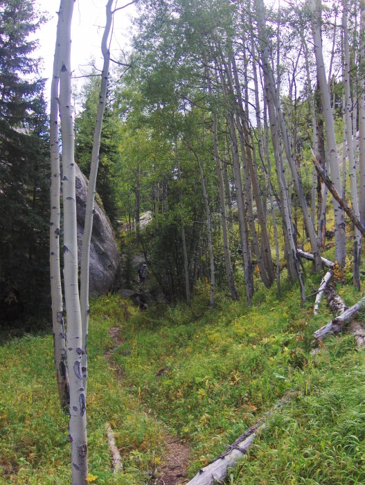  Trailside snacks that I stole from a bear....  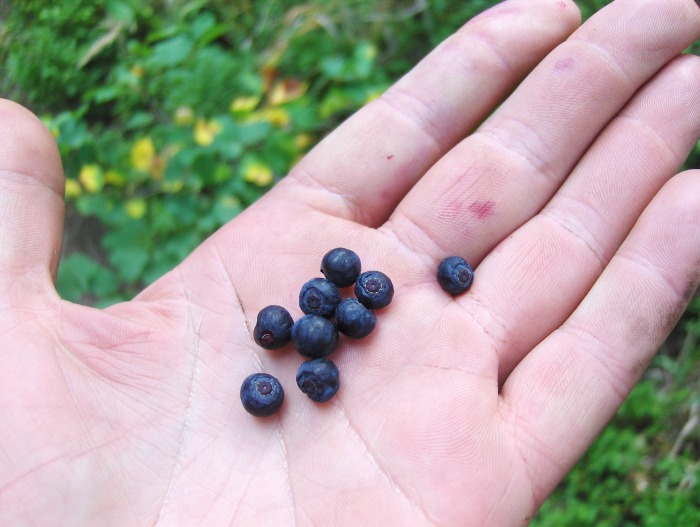 After 4+ hours of hiking, we came upon the bridge that G&M mention in their guidebook. For our camp, we found a nice "high rise" just beyond the S side of the bridge, up on a knoll that had a nice overlook down on the trail below and the slow moving river snaking through the valley. Across from our high rise we could see the steep western slopes of Holy Cross. Once we set our packs down, we went back to the river to get water, and to scout the start of our hike of Mt. Jackson. We found the start of the hike G&M mention, which is located between two stream crossings, which is ~200yds N of the bridge. Satisfied with where we needed to go on Sunday morning, we returned to the bridge and talked to two guys camped near the river. They were planning on going to Harvey Lake and continue on to Fancy Pass the next day, and then return on the Cross Creek trail. Sounds like a fun backpack, given the beauty of this valley. We went back to our high rise and set up the tent, had dinner, hung our food, and laid down for the night. Day 2 The Hike of Mount Jackson We left our camp at 5:40ish on Sunday morning, returning to the bridge and headed N for our turnoff. Once off the trail, it was a bushwack up the steep eastern slopes through aspens and pine. We stumbled upon a game trail or two going up the slope, which helped some. G&M suggest a NW bearing until reaching 10,800' contour and then start contouring SW. Using both a compass and Carson's GPS, we managed our direction and elevation the best we could. At around 10,800' we found a strong trail contouring across the eastern slopes and going in the direction we had to go. This trail was a nice respite after what we had just come up! The sun is on the rise... 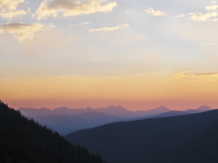 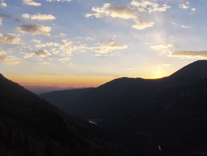 After many minutes spent observing a wonderful sunrise over the Gores to our N and the mountains in the Holy Cross Wilderness, we continued on our bearing to the SW but would soon discover more things to distract us from our hike. Distractions.... 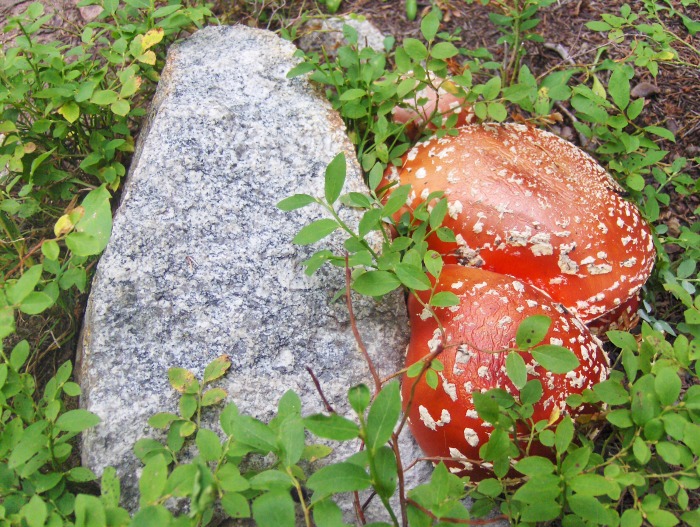 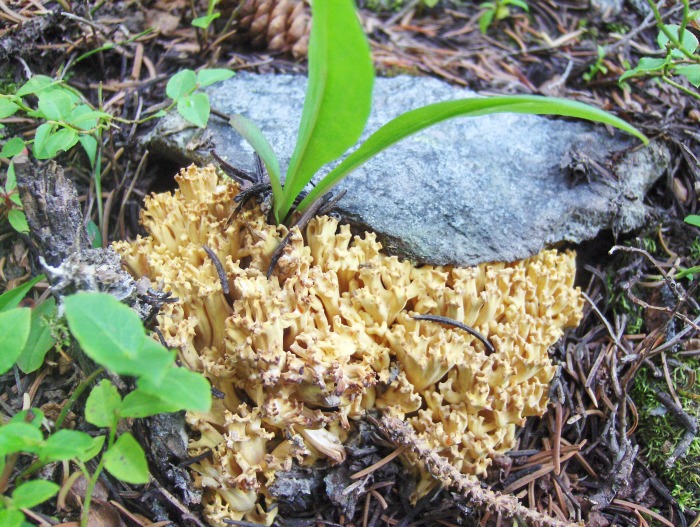 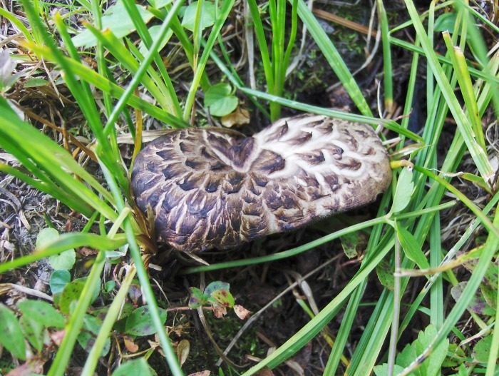 Flashback? This one reminds me of something from the "dark days of my youth" 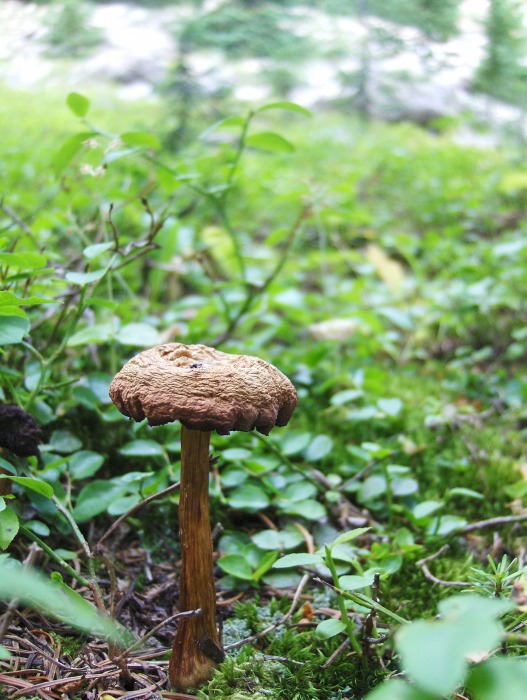 Groovy....  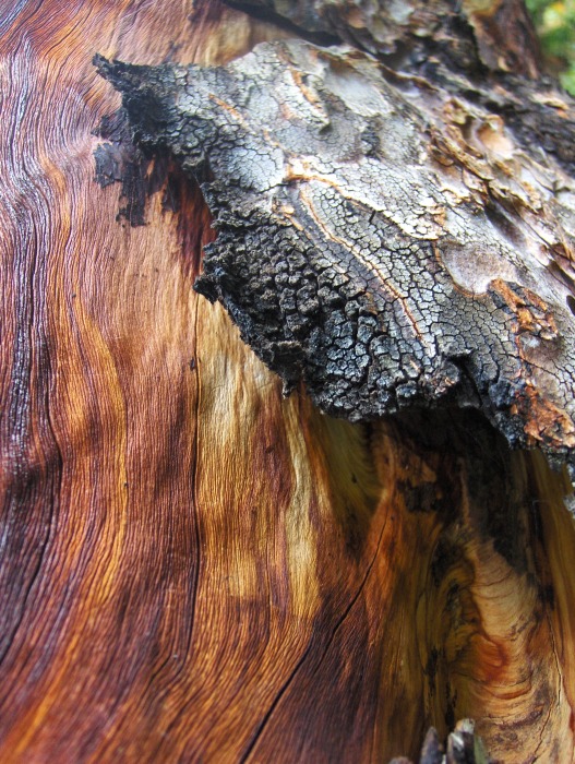 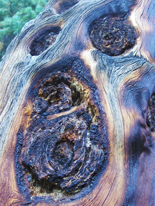 After I broke away from the distractions of Nature's artwork, I caught up to Carson as he was looking over the map to make sure we were on track. Happy with where we were and where we had to go, we continued on our way. As we were heading W into the upper basin below Jackson, we were rewarded with the loud guttural sounds of a bugling elk! Cool. ;) This hike keeps getting better and better! A little after 8am, we were finally breaking out of tree-line and heading into the splendor of a high marshy bench with granite walls all around. "Carson, are you sure we're in the Sawatch?" 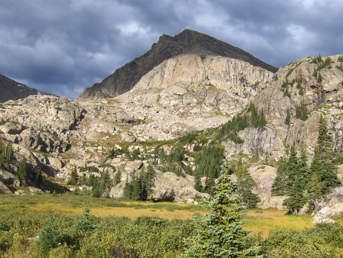 When we entered the high bench (at 11,660'), the clouds overhead looked a little ominous for so early in the morning, but they soon cleared out as we continued our ascent. 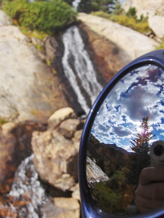 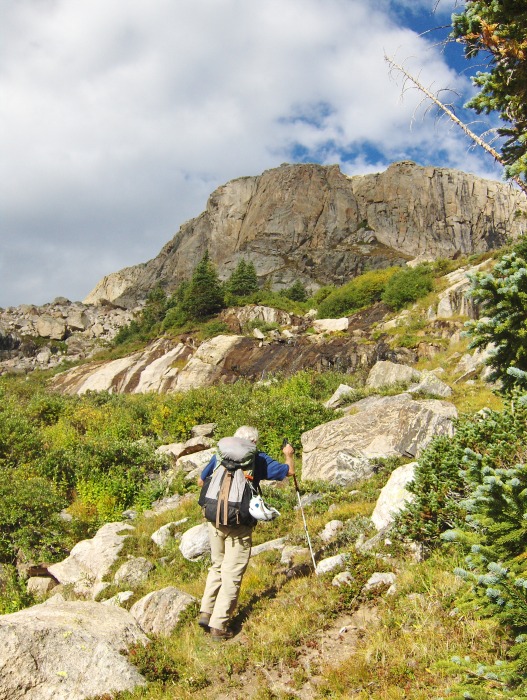 Continuing on, we turned the corner beneath the granite wall (climber's right as seen in the above picture) and went through lower angle terrain that would bring us to the N/NE slopes of Jackson. Where's a "rope gun" when you need one? 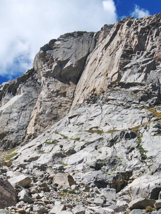 Looking down on the high marshy bench (at 11,660') as seen later in the day while on our descent.... 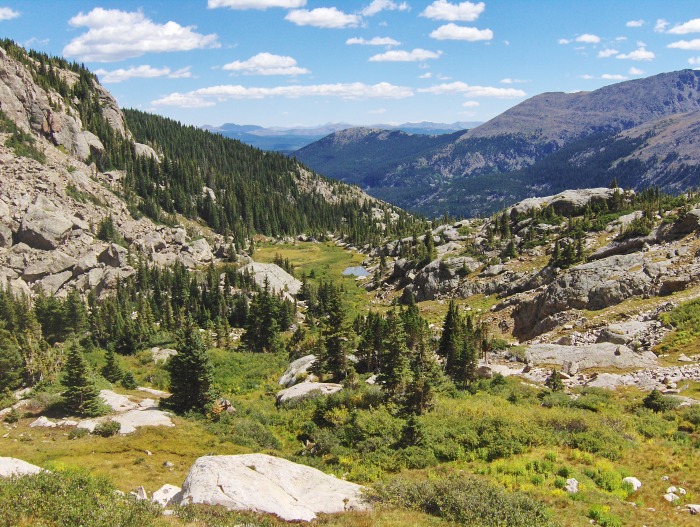 Carson starting the talus climb up the N/NE slopes.... 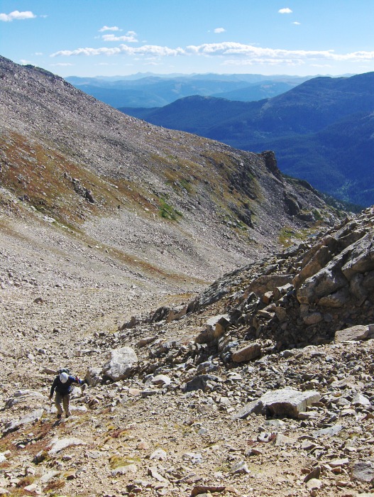 Near the summit with the views opening up.... 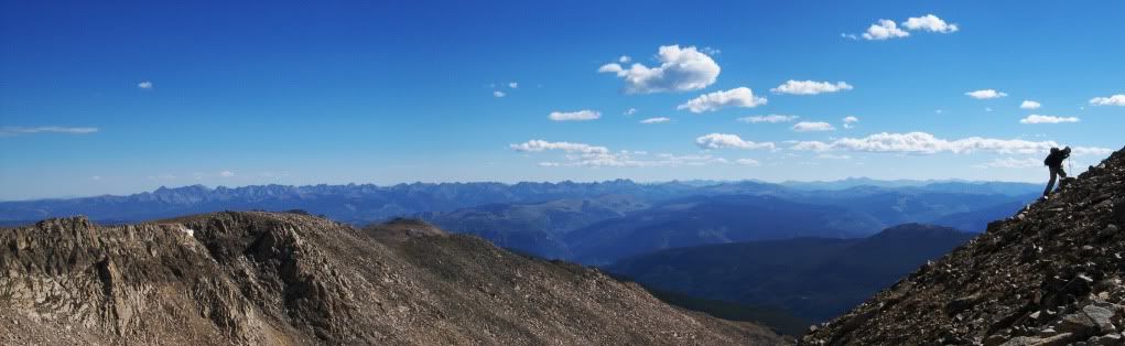 From the summit... To the N, the Gore Range 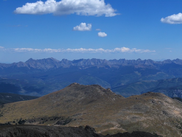 To the E, Holy Cross Ridge (w/MHC on the far left) 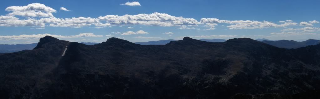 To the W 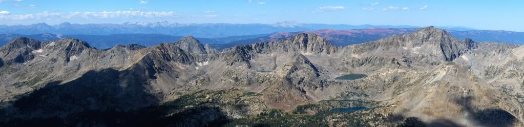 Right of center in foreground is Big Spruce Lake, Horseshoe Lake (thin & hard to see here), and Big Lake (from top to bottom); above and to the right of Big Spruce Lake is Gold Dust Peak (13,365') The peaks directly to the W and SW of Mount Jackson show a different, rugged side of what most see of the Sawatch Range; they're similar to the Apostles in their appearance. They're inspiring enough to come back to this region in the future and explore around them, and perhaps on them. To the S/SW 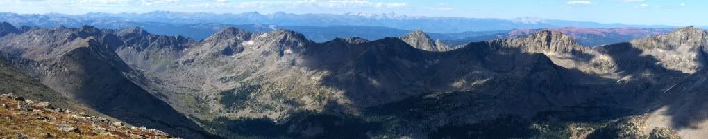 I recently saw a trip report on Grizzly Peak A by 14ers member Papillon, that has a picture of a summit register which was placed on the summit by the Republic of Texas Mountaineers. I think his response was, "WTF?" I concur. ;) It appears the Texan mountaineers were busy on other summits as well...  To the SW, some popular Elks in the distance 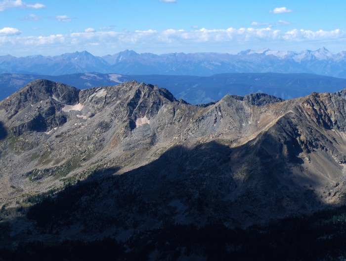 Dr. Carson Black 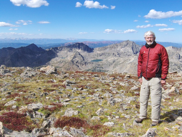 To the S, with yours truly looking to the E  We had a windy summit stay, but not for too long because we still had to go back down to camp and pack out; which is not something Carson was appreciated hearing from me! For our descent, we headed down the N/NW ridge a little ways to access slightly lower angle terrain to descend. We were back down to the high bench at ~12,100' within an hour, and continued our way down to G&M's described small lake at 11,660' to retrace our previous track. The descent basically went the same as our ascent, with a few small variations, which was mostly on the descent down the eastern treed slopes. Back to camp by 2pm, packed up and back on the trail by 3pm, and finally reaching the car by 7pm. A long day, but a great trip! Thanks for reading, Darin Map of our camp & ascent/descent lines. Approximation of camp location and our routes. 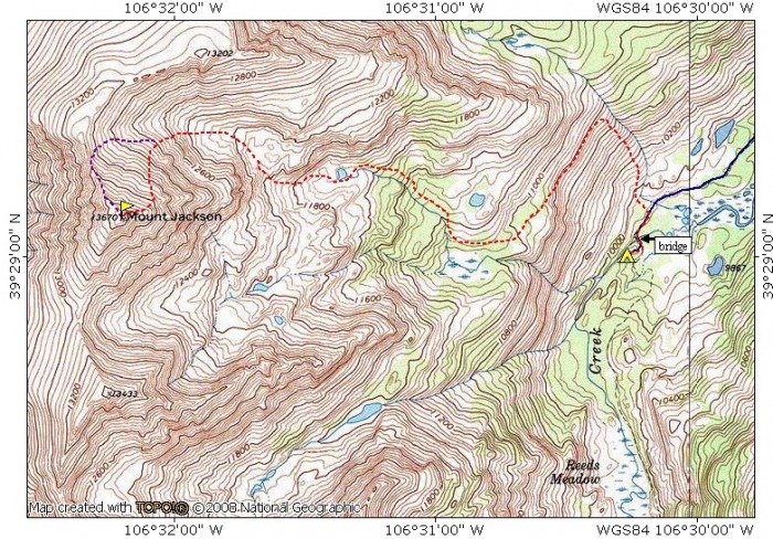 Blue line: approach to camp Dashed red line: ascent & *descent *Dashed purple line: descent off of summit Thumbnails for uploaded photos (click to open slideshow):
|
| Comments or Questions | ||||||||||||
|---|---|---|---|---|---|---|---|---|---|---|---|---|
|
Caution: The information contained in this report may not be accurate and should not be the only resource used in preparation for your climb. Failure to have the necessary experience, physical conditioning, supplies or equipment can result in injury or death. 14ers.com and the author(s) of this report provide no warranties, either express or implied, that the information provided is accurate or reliable. By using the information provided, you agree to indemnify and hold harmless 14ers.com and the report author(s) with respect to any claims and demands against them, including any attorney fees and expenses. Please read the 14ers.com Safety and Disclaimer pages for more information.
Please respect private property: 14ers.com supports the rights of private landowners to determine how and by whom their land will be used. In Colorado, it is your responsibility to determine if land is private and to obtain the appropriate permission before entering the property.


