Log In 

South Colony Lakes Trailhead

Sangre de Cristo

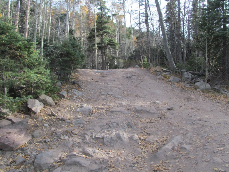
Road Difficulty4 4  Moderate 4WD, good clearance 
Location9,900 feet
37.97611, -105.50651
Driving Directions
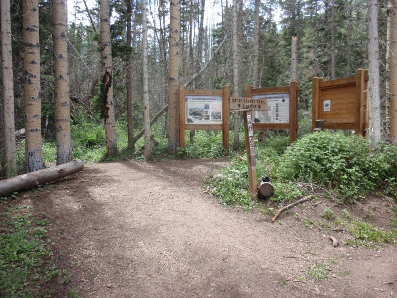
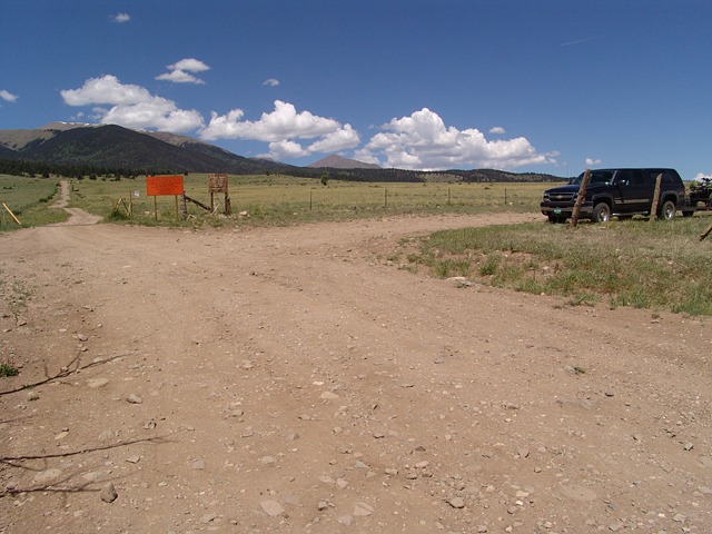
Take Colorado 69 south from Westcliffe. Drive 4.5 miles and turn right on Colfax Lane. Drive 5.5 miles to the end of Colfax. Turn right and drive 1 mile on a dirt road to a junction. Continue straight up the 120 Road for 0.3 mile to the 2WD Trailhead at 8,800'. To reach the 4WD Trailhead, continue 2.7 miles to parking/camp spots before a river crossing, near 9,950'. In 2009, the South Colony Lakes road was permanently closed at this point (with a gate), and the official trailhead was established here. The trail begins next to the trailhead kiosk located in the main parking area.
 Notes
Easy 2WD dirt to the lowest trailhead. 4WD (high-clearance required) dirt to the upper trailhead.

Trailhead Status Updates

Most Recent Update 8/8/2026:

My first time up the trail so I didnt have any expectations, but I was surprised how rough it was. The first section after the 2wd parking area to the national forest area was very rough and rocky. After that it was not bad minus a few spots you had to pick a decent line. I was in a lifted GX470 so no issues, but I was surprised to see a few lower clearance vehicles at the top. I personally wouldn...

Winter Access

Usually closed near the lower TH at the bottom of the road.

Trailhead Facilities & Fees

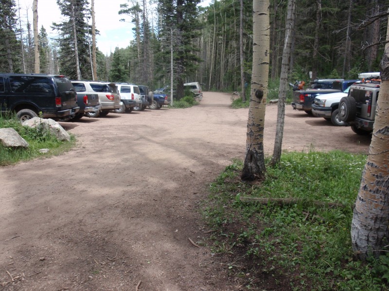
Parking: ~20 vehicles at the lower, 2WD trailhead. No parking along the first 1+ miles of the 4WD road due to private property. Some pull-offs before the upper trailhead. Upper, 4WD trailhead has room for ~25 vehicles.
Camping: No camping at the 2WD trailhead. Not much camping along the 4WD road but there are a few spots. Some established camp sites near the 4WD trailhead.
Restrooms: No
Fees: No
Trailhead added by BillMiddlebrook