



| Peak: | Mt. Columbia |
| Route: | Southeast Ridge |
| Range: | Sawatch |
| Posted By: | the_hare |
| Date of Info: | 3/1/2022 |
| Date Posted: | 3/2/2022 |
| Condition Update |
|---|
|
Made an attempt on the SE ridge but turned back due to unstable snow conditions. Road was tire-tracked past the Colorado trail TH and the trail was boot packed up to the ridge. A pre-storm trench was still visible for some ways up the ridge, but I ended up going my own way up after windblown snow completely covered it. Snow quality was great in the morning, everything was still frozen and my snowshoes weren't sinking down too much especially in more open stretches on the ridge. Snow was a bit mushier under thick tree cover around 11.2k so I traversed over to a south-facing low-angle open area on the ridge. The snow was very firm here as I made my way up to the boulder pile at 11,420. I continued on towards the rocky point at 11,600. Up until this point I had noticed some sort of cracks forming near the tops of small sloping features on the ridge like little bumps and rollovers. It looked as if maybe the surface slab crust upon the feature's face was trying to slide down a little after yesterday's afternoon heat. The snow was still frozen solid in the morning as I passed them by though so I didn't think too much of it. As I neared the 11,600 point just before noon I noticed another one of those cracks across the snow apron I was crossing and felt the whole thing shift down. The surface crust layer was only a couple to a few inches thick and it slid about an inch and a half. I carefully tread above me to a safe flat area under some trees to assess the situation. I figured there would be more snow areas like this ahead and I did not want to see how these conditions would look after several more hours in the heat after a summit descent. That open south-facing area of the ridge had some particularly deep & wide cracks formed between steppes of snow and I definitely wanted to be off that before conditions deteriorated further in the heat. I couldn't make it any further up the deep & loose snow apron up to the point anyway so I turned back. The surface crust on a small bump on the flat area between the 11,600 & 11,420 points also slid under me a bit. I stuck close within thick clusters of aspen & pine on the way down and crossed flat portions of open areas when I had to. Didn't experience any further issues on the ridge, the snow was mushy now but it was stable at least. Looking back now those small slab slides weren't super threatening in themselves at that time but i could definitely see them becoming a bigger problem later in the day. The ridge itself is under 30 degrees overall but some of these microfeatures that held these sliding slabs were either unnoticeable or unavoidable on the way up. Might be more stable for a sunrise summit or just after this sweltering pre-spring is over. 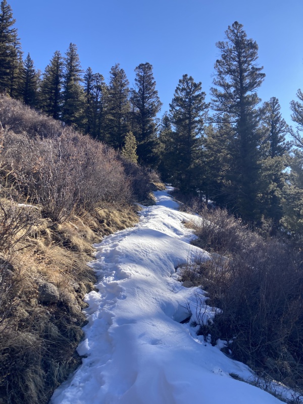 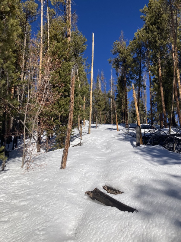 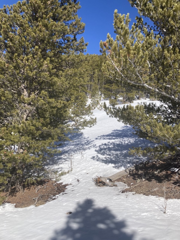 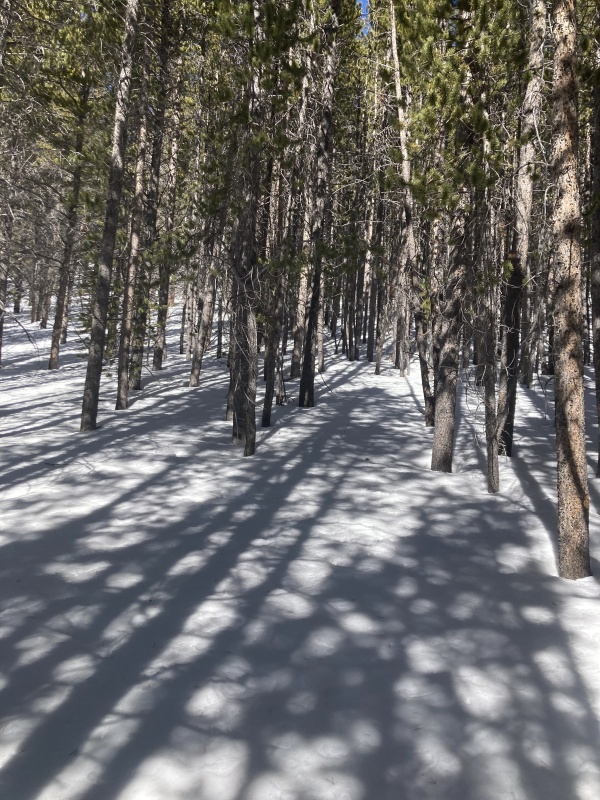 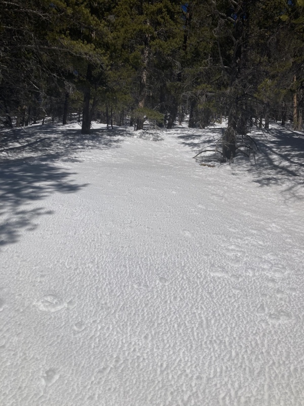 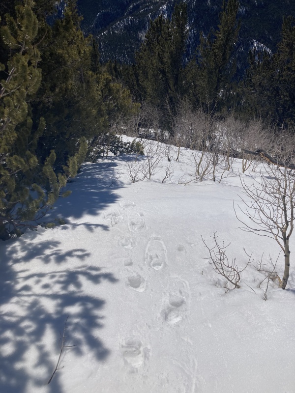 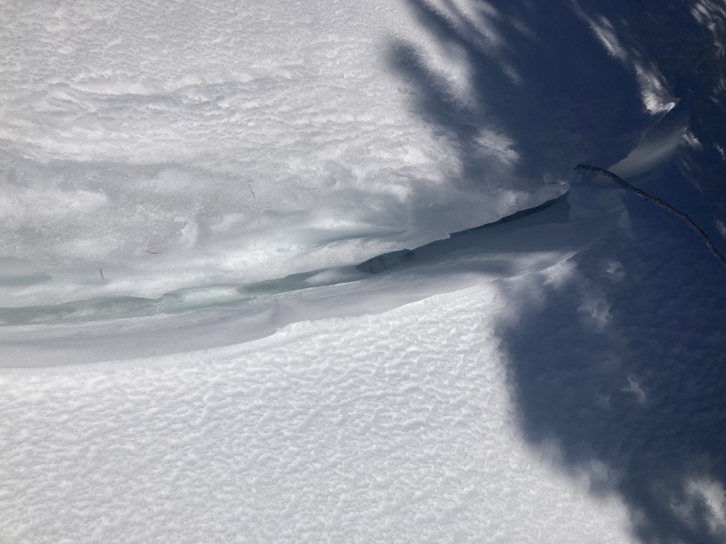 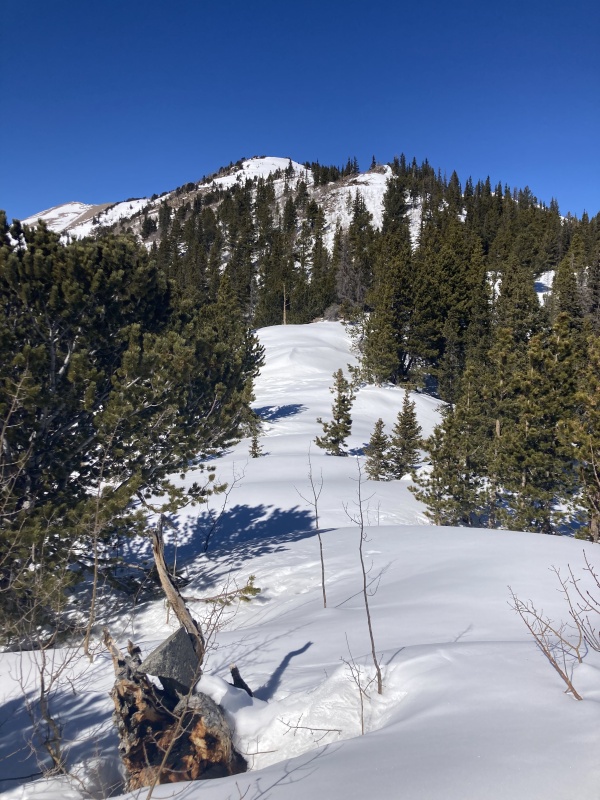 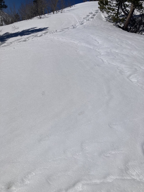 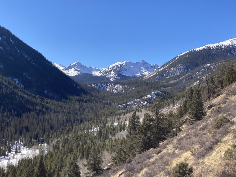
|
| Comments or Questions |
|---|
|
|