From the dam parking area, walk up to the right (north) end of the dam and begin hiking west along the north shore of the upper lake -
1. Continue west for 1 mile (
2) until you reach ~12,100' in the basin where you can see Polaris up to your left -
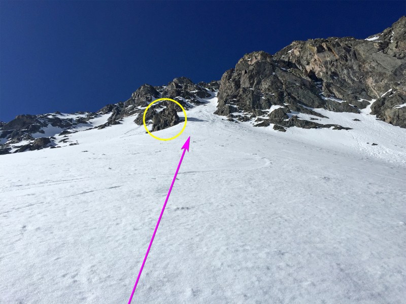
3. The couloir is easy to identify once you locate the large, round rock feature at its base -
4. Taken from slightly higher in the basin,
5 and
6 provide a better look at the entire couloir. Even from that angle, it's difficult to identify the summit because the couloir forks at the top, providing two different options to reach the summit.
Turn left and ascend the apron to reach that rock feature at the base of the couloir -
7 and
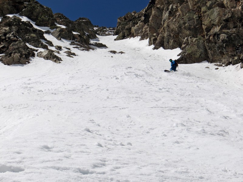
8. From here, the pitch increases dramatically. Enter the obvious line and climb 600' of steep snow -
9,
10 and
11. Above 13,200' the angle eases and the terrain opens up but there's no clear line to the summit -
12. Your options are 1) to angle up to the left on more open terrain or 2) stay right and take a narrow chute to reach North Star's west ridge, approx. 100 yards from the summit. Option #1 is a more direct line to the summit and the one indicated in photos and maps on this route description. Using either option, reach easier terrain near the top and walk southeast to reach the true summit.


 GPX Track File


