Download Agreement, Release, and Acknowledgement of Risk:
You (the person requesting this file download) fully understand mountain climbing ("Activity") involves risks and dangers of serious bodily injury, including permanent disability, paralysis, and death ("Risks") and you fully accept and assume all such risks and all responsibility for losses, costs, and damages you incur as a result of your participation in this Activity.
You acknowledge that information in the file you have chosen to download may not be accurate and may contain errors. You agree to assume all risks when using this information and agree to release and discharge 14ers.com, 14ers Inc. and the author(s) of such information (collectively, the "Released Parties").
You hereby discharge the Released Parties from all damages, actions, claims and liabilities of any nature, specifically including, but not limited to, damages, actions, claims and liabilities arising from or related to the negligence of the Released Parties. You further agree to indemnify, hold harmless and defend 14ers.com, 14ers Inc. and each of the other Released Parties from and against any loss, damage, liability and expense, including costs and attorney fees, incurred by 14ers.com, 14ers Inc. or any of the other Released Parties as a result of you using information provided on the 14ers.com or 14ers Inc. websites.
You have read this agreement, fully understand its terms and intend it to be a complete and unconditional release of all liability to the greatest extent allowed by law and agree that if any portion of this agreement is held to be invalid the balance, notwithstanding, shall continue in full force and effect.
By clicking "OK" you agree to these terms. If you DO NOT agree, click "Cancel"...
Want to avoid all the gullies on Little Bear - not only the Hourglass but also that horrible 1st gully above Lake Como?
Want to minimize walking along the road that the 4WD caravans travel?
Want more time alone on a 14er?
Want to make a 14er feel fresh and more like a 13er?
Well, this little mini is for you! After having the privilege of posting the official route for West Ridge Indirect earlier this year which avoided the Hourglass, several folks commented on how it would be nice to avoid that 1st gully above Lake Como as well. A suggestion was made in one of the threads to consider trying to gain the ridge right from the very start, where the 4WD road dives into the woods.
So I decided to check it and and found: it goes!!!
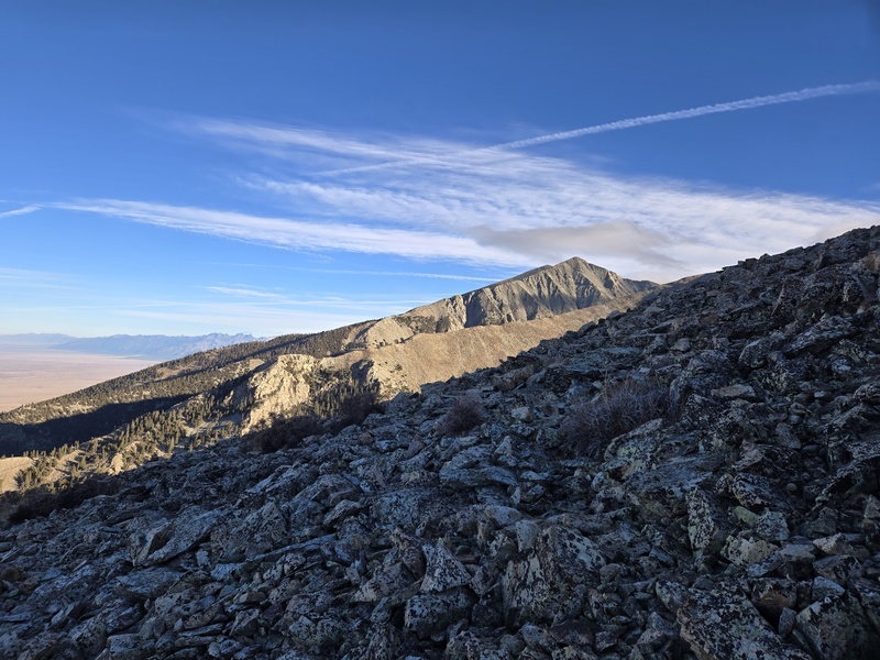
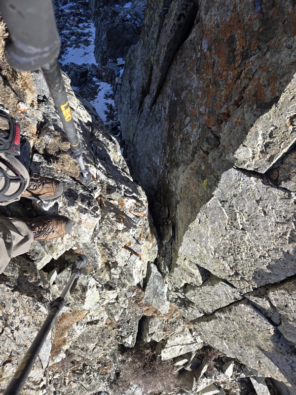
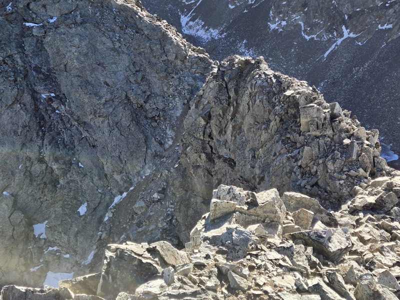
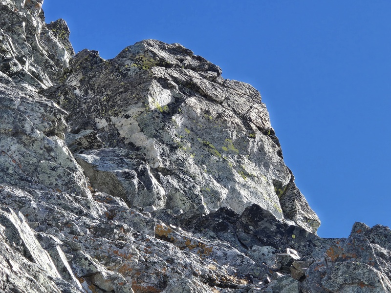
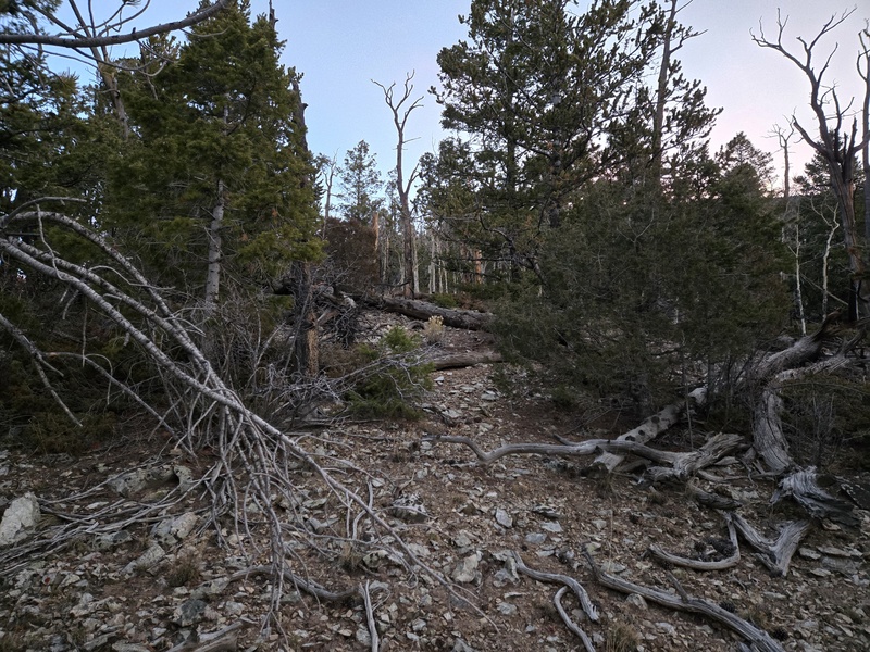
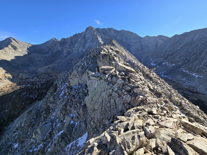
Not only that, but the part prior to where you meet the main routes above the 1st gully pretty much goes at class 2! I say pretty much because there is one small pinchpoint on the ridge at 12,550ft where you might need a move or two of class 3 unless you drop down slightly to work around a sharp dip. Other than that, the only trade-off vs the standard route is that you have to do a little bit of bushwhacking to gain the ridge, but it was mostly very mild bushwhacking on the line I took and fairly straight forward. Just note the ridge starts out broad - if I went back I'd probably hug the drop-off on the left from the get go.
The Key: I parked at the 9,850ft switchback (anyone who can drive past the few hundred yards of ick just past 8,800ft can easily make it there). From there it's 0.35mi to the large 10,200ft parking/camping area. Turn off the road there and start bushwhacking uphill. Gain the ridge and - if following West Ridge Direct - just stay on the ridge the whole way. Otherwise, for West Ridge Indirect or the Hourglass, meet the trail at the top of the 1st gully and carry on!
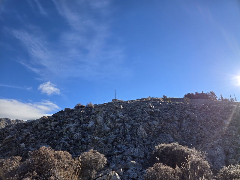
The bushwhack goes from the 10,200ft lot to the cairn at 12,125ft in a distance of about 1.25mi so it's steep enough to make you work for it but I never needed to do any tree-belays or anything like that.
Round trip from 9,850ft switchback to summit and back is just 7.4mi (6.7mi RT starting from the 10,200ft lot).
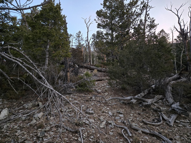
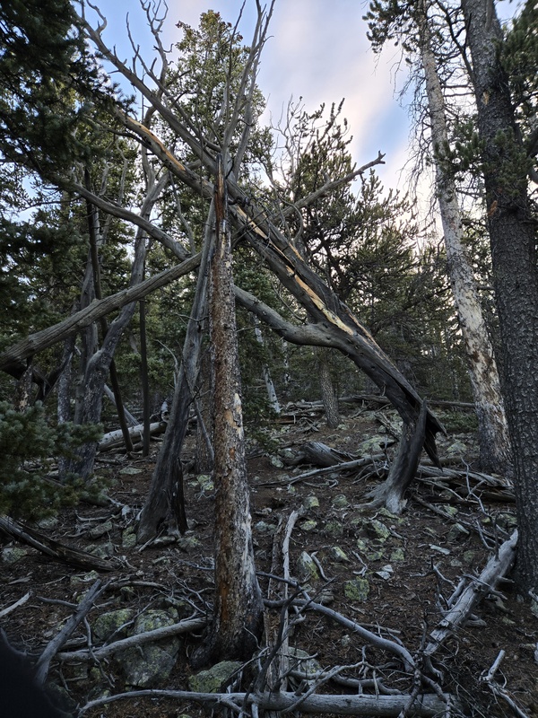
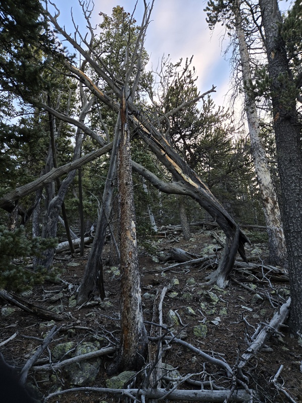
Example of mild bushwhacking going up ridge - some spots a little lower (that I did in the dark) are a little denser, but not a whole lot.
Slightly denser.
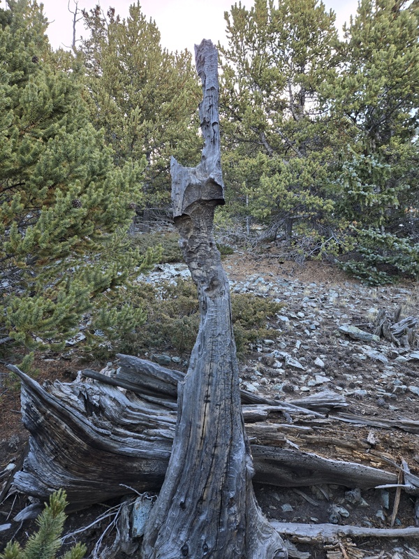
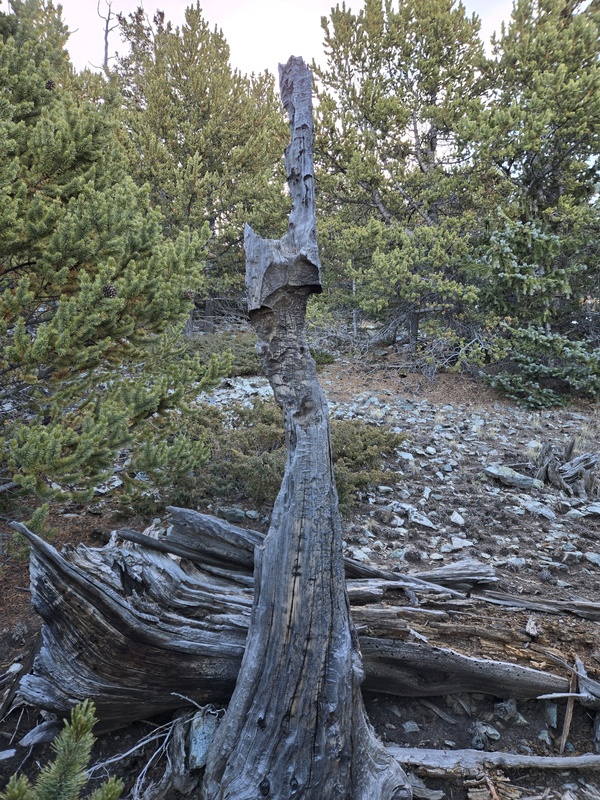
Fun tree remnant at 11,500ft
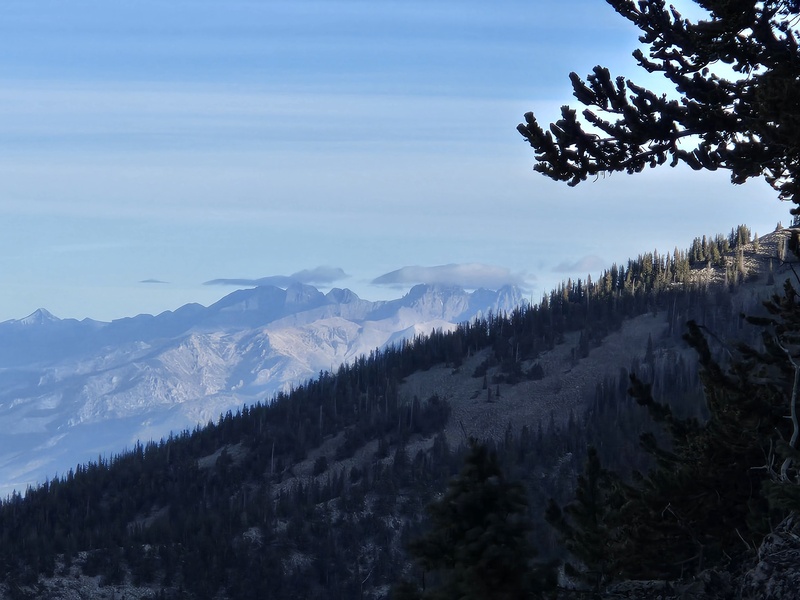
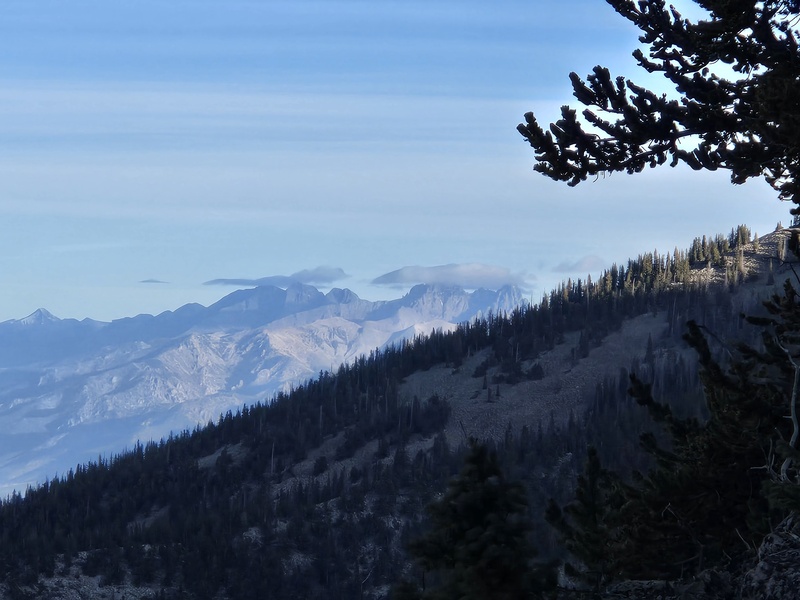
Crestone Peak partly hidden
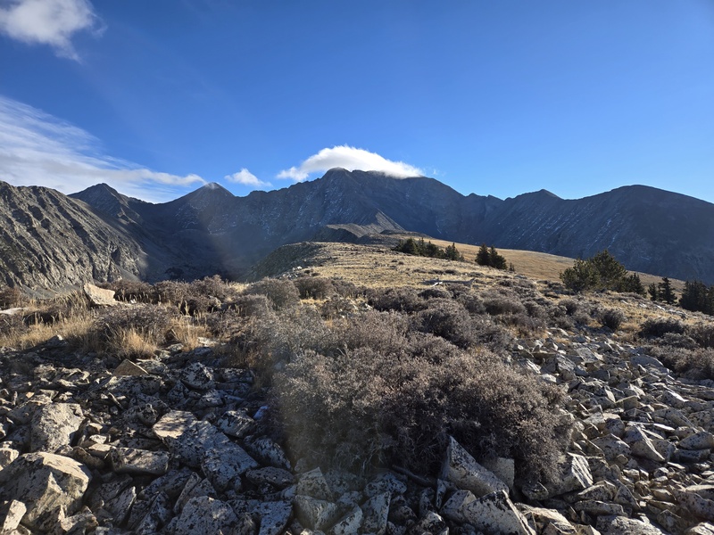
Going up
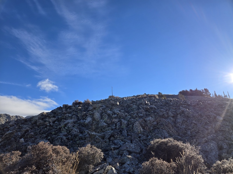
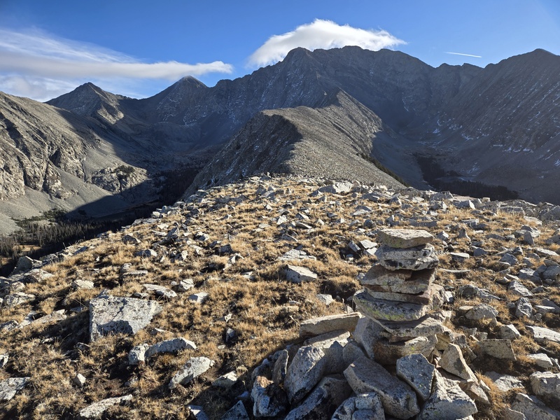
Cairn near point of gaining main ridge.
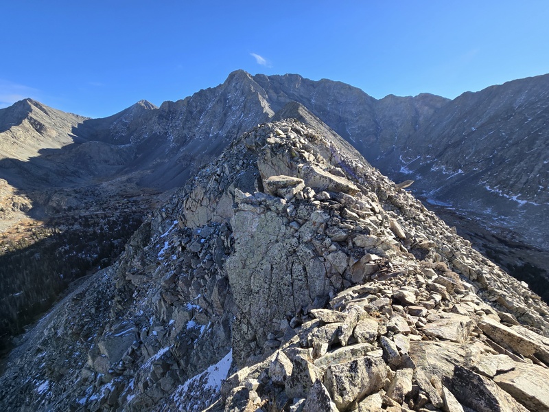
On the ridge.
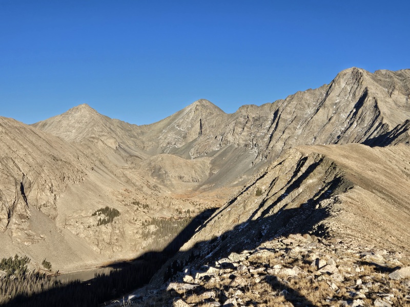
Further along.
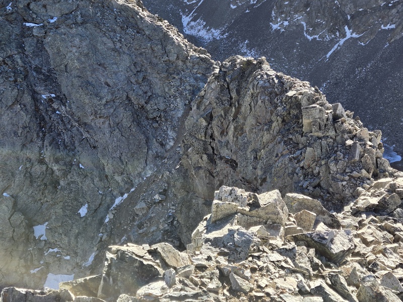
Pinchpoint.
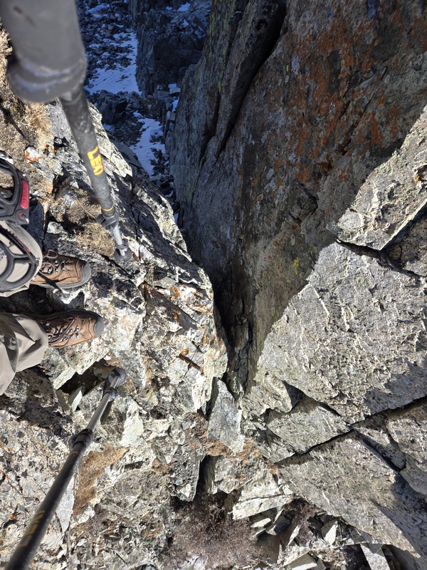
Looking into pinchpoint.
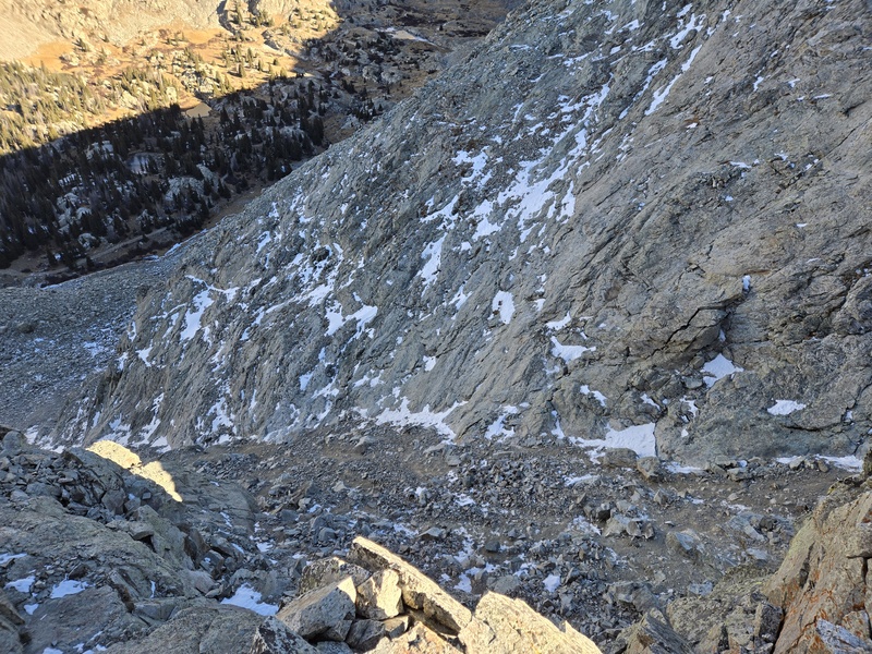
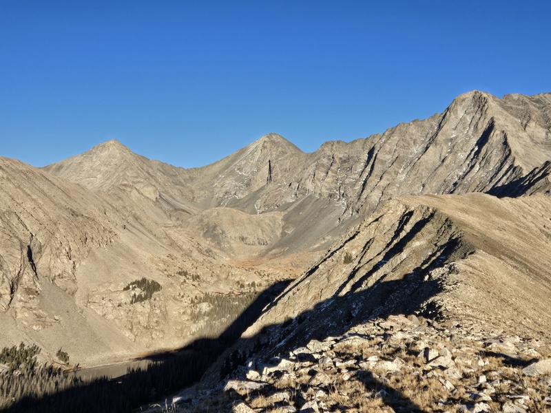
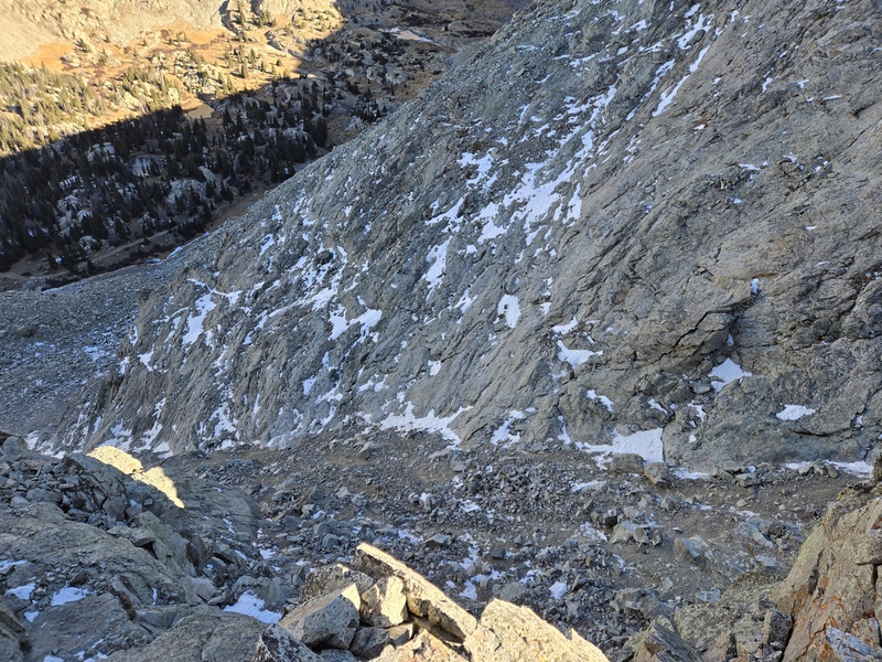
New angle on the 1st gully (this route passes above it!)
Avoiding that 1st gully!
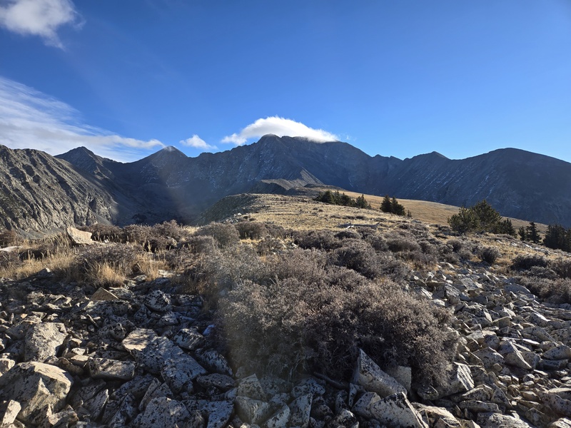
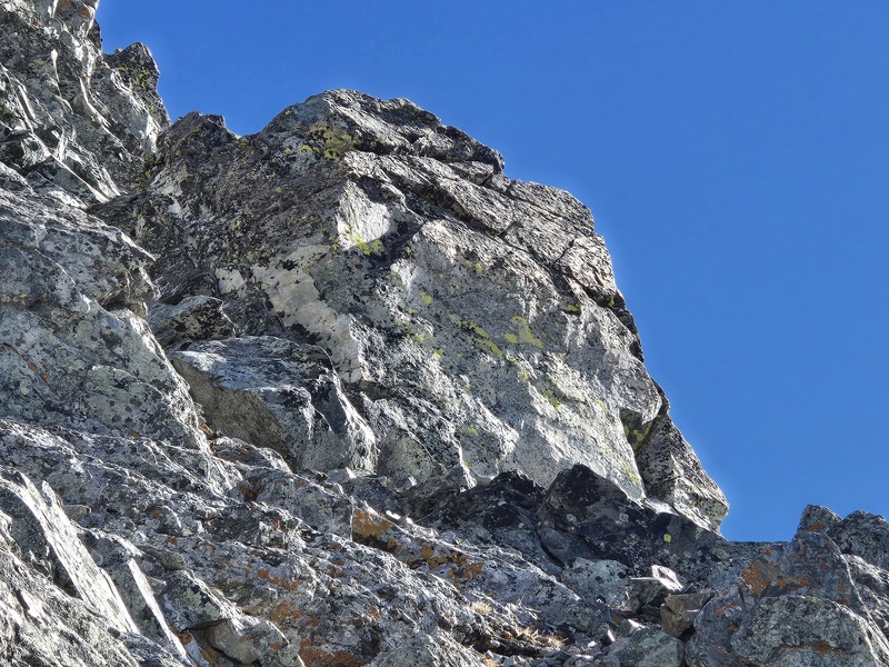
The flat-faced white rock looks less flat in the full sun.
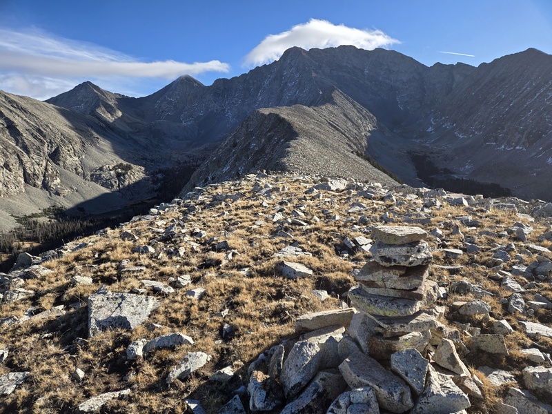
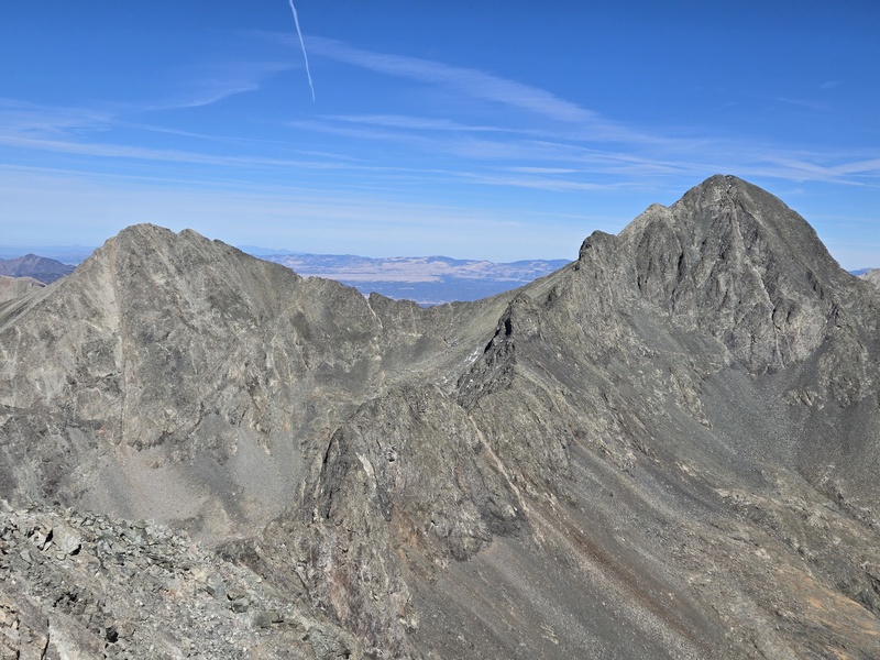
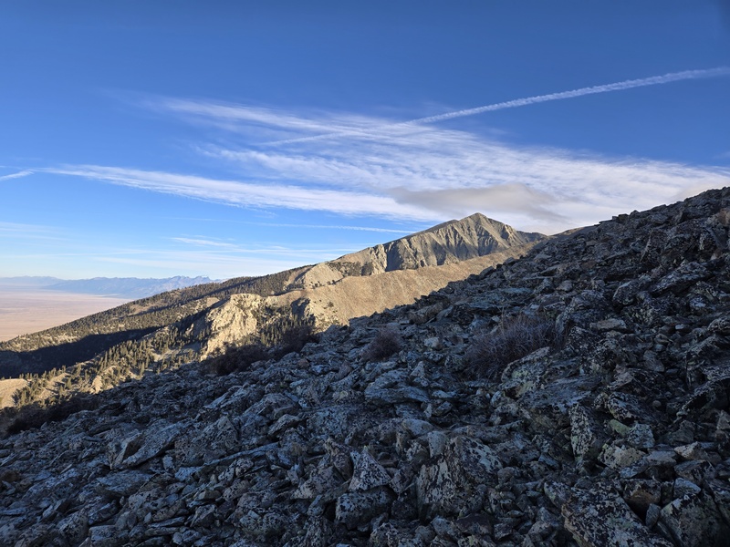
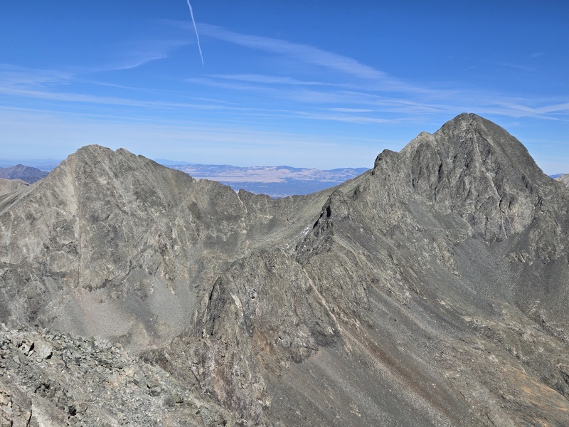
Classic LB-B Traverse shot.
The trio.
My GPS Tracks on Google Maps (made from a .GPX file upload):
I did the traditional West Ridge Direct this past winter and by far the worst part was that 1st gully above Lake Como - the ridge itself was largely dry even in February thanks to wind and sun. This new variant avoids the gully and so I think it would most likely be an excellent winter option.
I have wondered about accessing the west ridge from where the road crosses the creek at 10,600, just about 1/2 mile further up the road from where you started your bushwhack. Any thoughts from what you saw about how this might go?
If you looks at the GPX for this TR you'll see waypoints at 3 different cairns - not sure who put them there or why but they generally tend to be over somewhat ramp-like features along the ridge. But there are also cliff bands along much of the ridge and in every case those ramps are made of nothing but huge piles of loose looking rock. So I wouldn't be inclined to use any of those given how mild the bushwhack is.
Great job by you and your fellow pioneers, Dave. It seems to me that that this "trail" addresses each and every "complaint" regarding the approach to the LB summit: 1. The hike up to Lake Como from Jaws 1--no longer a problem! It is a demoralizing slog (on the way down, at least) Most with a 4x4 can get to the 9850--10,200 points. 2. Backpacking into Lake Como--no longer required. To be able to do the trio each as 3 separate day hikes (my plan) has it's own allure. 3. The first gully--bypassed.
4. The Hourglass--bypassed.
Great progress and great effort addressing a real problem for the 14er community. Thank you all.
Please put me on your short list of volunteers for a work (formal or informal) crew for the approach to the ridge.
It looks like there are nice cairns once on the ridge, but if work up higher is required, I'm in also. Done plenty of this work.
I have sworn an oath to protect and preserve the fragile alpine tundra, and I think this could be readily accomplished,
with an awesome trail also cut in.
I completed this today. A lot better than having to hike the entire road and do the gully. The bushwhack was easier, at least for me, going up. On the way down, I kept getting off track even with the GPX file pulled up on Gaia. I couldn't drive past initial spots in my Corolla so started at beginning area. Took me 13 hours. Highly recommend.
Caution: The information contained in this report may not be accurate and should not be the only resource used in preparation for your climb. Failure to have the necessary experience, physical conditioning, supplies or equipment can result in injury or death. 14ers.com and the author(s) of this report provide no warranties, either express or implied, that the information provided is accurate or reliable. By using the information provided, you agree to indemnify and hold harmless 14ers.com and the report author(s) with respect to any claims and demands against them, including any attorney fees and expenses. Please read the 14ers.com Safety and Disclaimer pages for more information.
Please respect private property: 14ers.com supports the rights of private landowners to determine how and by whom their land will be used. In Colorado, it is your responsibility to determine if land is private and to obtain the appropriate permission before entering the property.




 Download GPX file used in this map