| Report Type | Full |
| Peak(s) |
Gilpin Peak - 13,699 feet |
| Date Posted | 09/06/2019 |
| Modified | 09/09/2019 |
| Date Climbed | 08/31/2019 |
| Author | bergsteigen |
| Additional Members | RyGuy, Tony1 |
| Scree and wildflowers to the max |
|---|
|
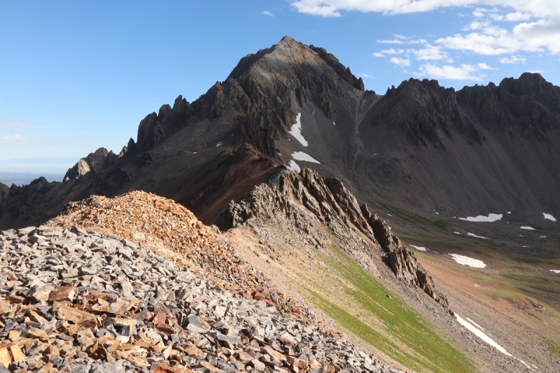
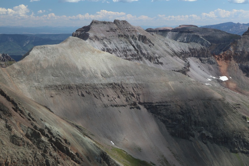
Gilpin Peak
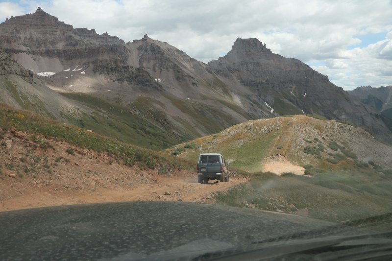
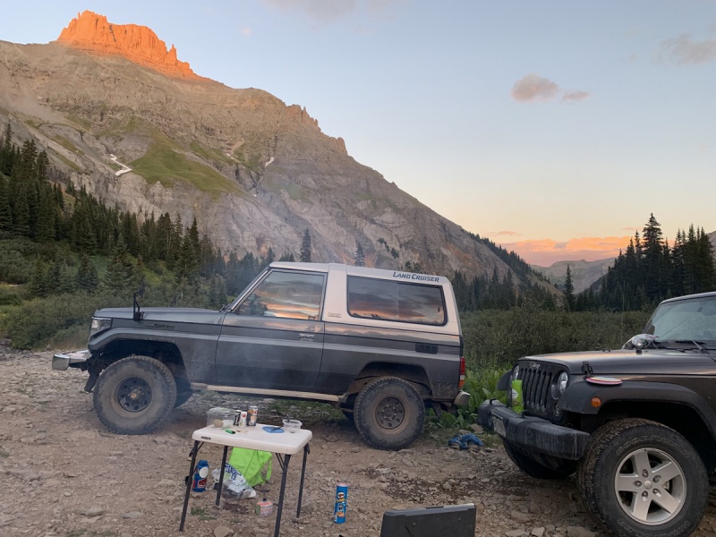
Ryan and I hoped that Tony would be still a bit jet lagged from Iceland to not run up the mountain, so we decided on a short peak & route to be sure. Plus a nice short day for us on day 3. The first achievement was reached on driving to the upper trailhead. I had tried driving up for Jeff's finisher in 2012, but didn't make it too far because of loose gravel on the road. Today I was determined to make it. It did take a spot from Ryan for both of us to make it over one rough section. Yay, now I don't have to drive up here ever again! 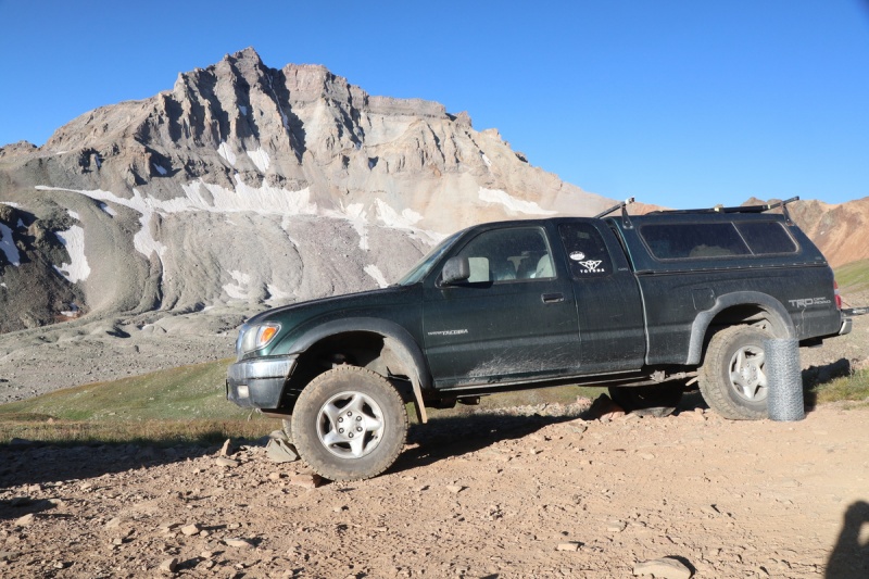
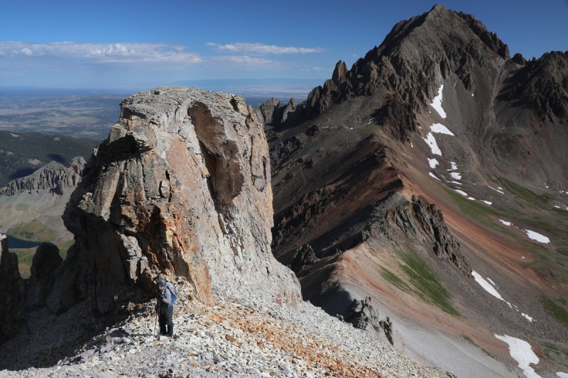
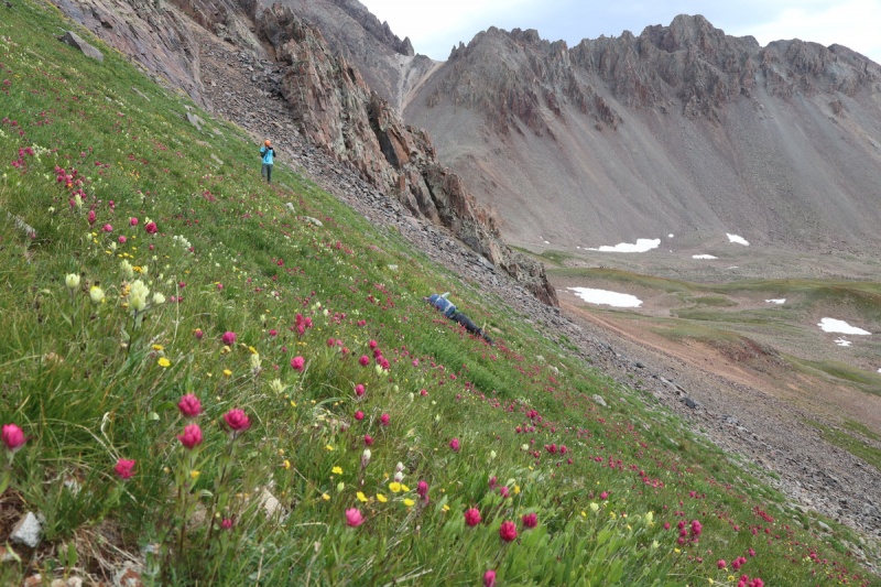
We put up our marmot guards, and started up the Sneffels trail. Furthermore had mentioned that maybe it would have been easier to go up the Blue Lakes trail to the saddle and then run the ridge, instead of the scree slope closer to Gilpin. So we decided to mix the two, by going up the switchbacks, till a supposed decent ascending traverse to the ridge appeared. It started off well, but then got nasty. Real nasty. 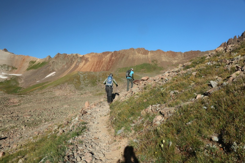

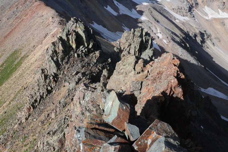
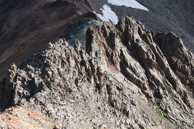
Our stay on the ridge was short lived. There was a rough section that Ryan got to the top of, but then reversed. We could have gone over it, I think. 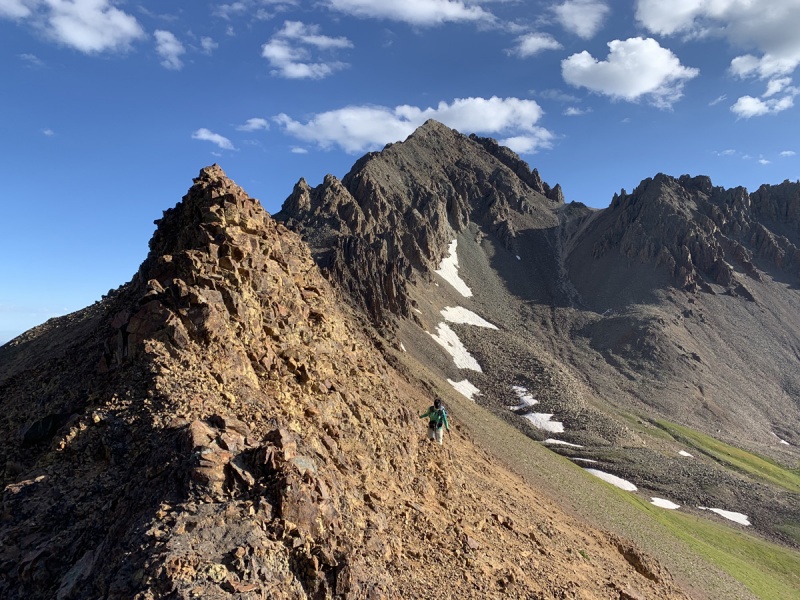
Beyond that, we stayed on the ridge till the last bit before where Furthermore went up. Ryan balked at the start, so I decided to scramble up and see. I got to the top and said nope. Drop. Drop it like it's hot. So Ryan, pounded down that gully like it was his business! He says he doesn't want his heel pain, but acts differently. 
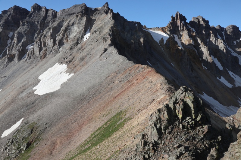

After dropping off the ridge, we got over to the flowery grass, where we should have aimed in the first place. So there ya go. The ridge doesn't quite go. Save yourself the trouble and just traverse there! 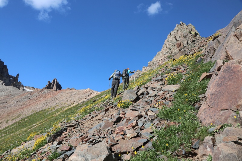
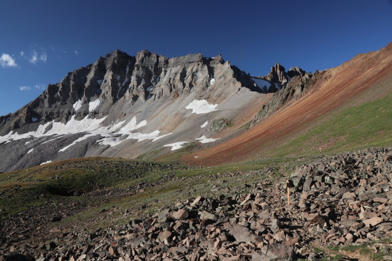
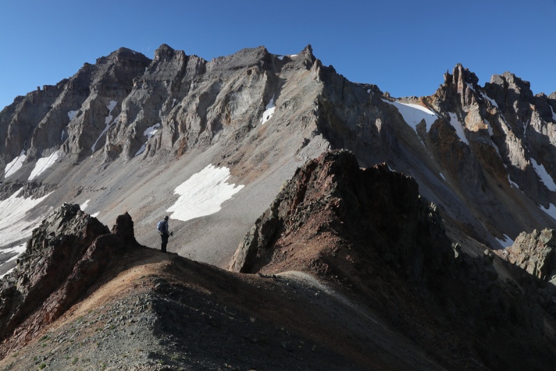
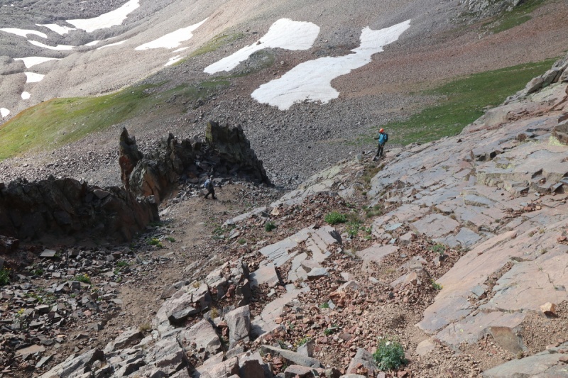
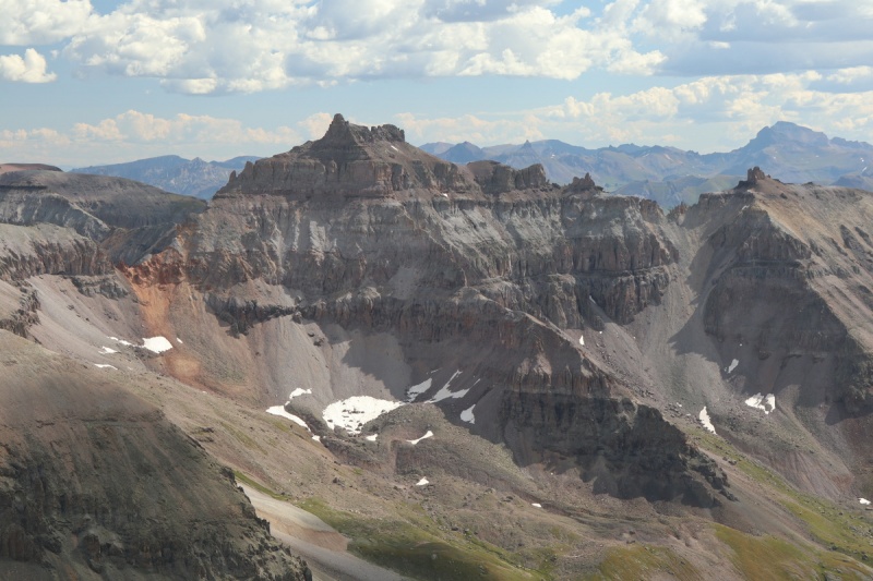
Even then, the stay on the ridge was short lived, since we knew the next ridge gendarme would not be climbed. There also was a bit of a climbers trail that aims at the center of the gully. We went all the way into the gully, since we couldn't see the better ascent route, that we found on the way down. 
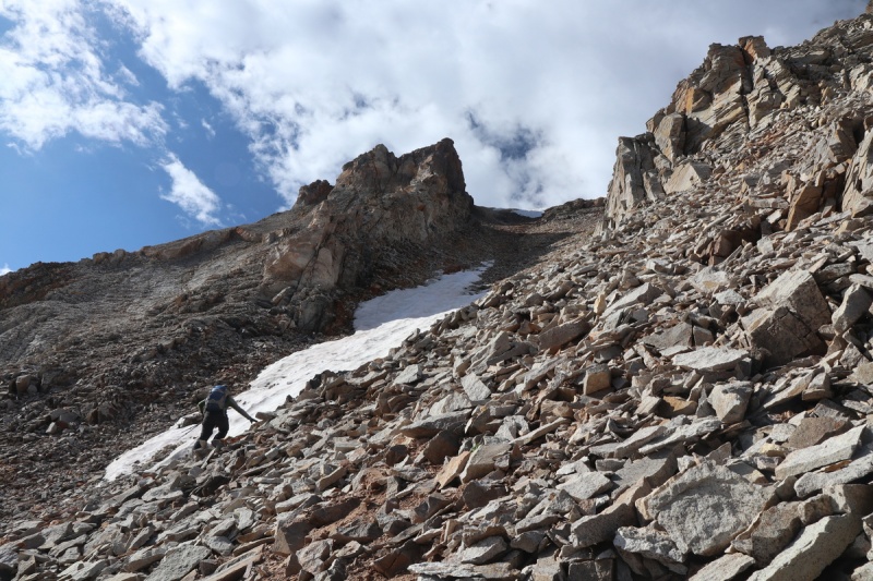
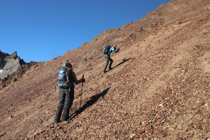
Once we go into the center of the gully, we split up and divided the slope for safety. Tony ran up and found the trail under the cliffs gendarmes above, so I got up there ASAP. Then travel became easy, if a bit loose on occasion. 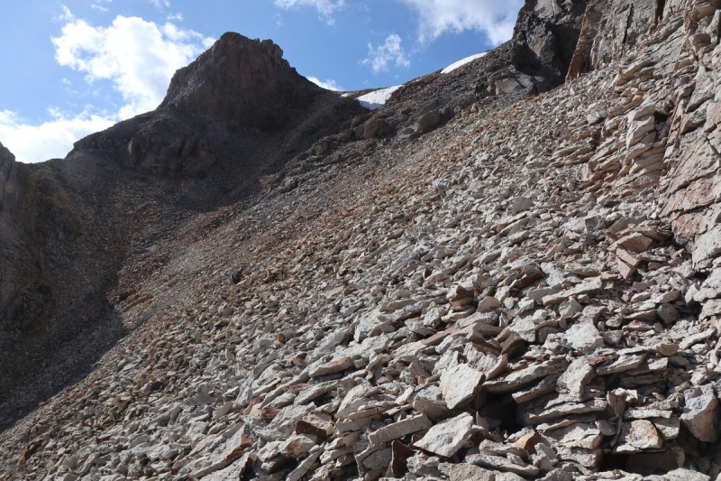

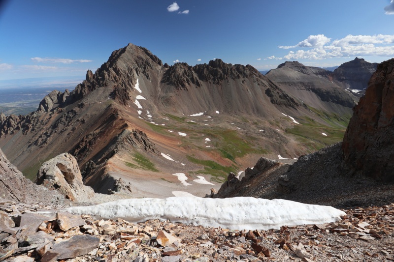
Once on top of that loose gully, that would make a much better snow climb/ski etc, we were quite happy. But what can ya do, it's a bicentennial and Ryan wanted it. 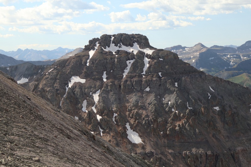

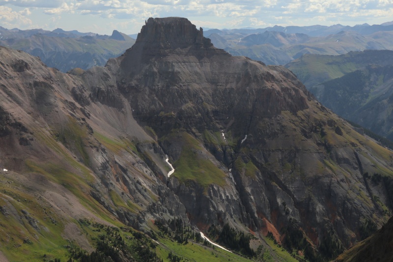
After seeing the main snow couloir off the summit, which I know cornices like mad, I think I'll ski the other one we came up! 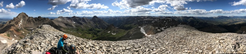
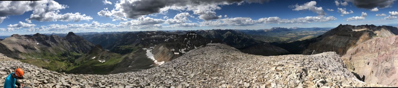
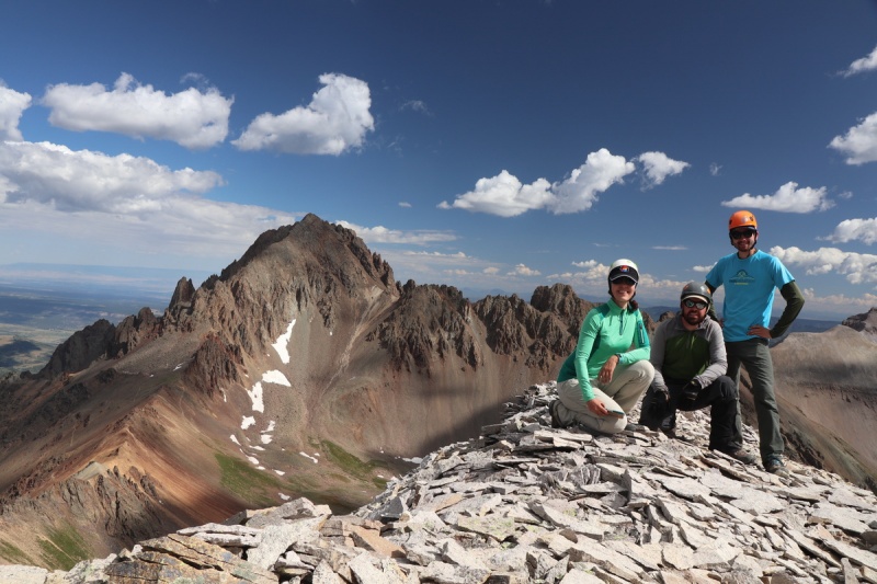
After such a short ascent, we took some time enjoying the summit. 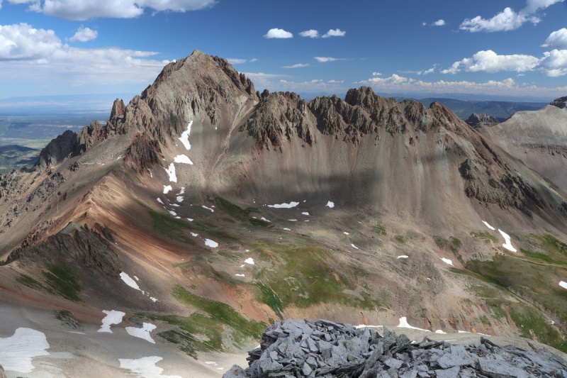
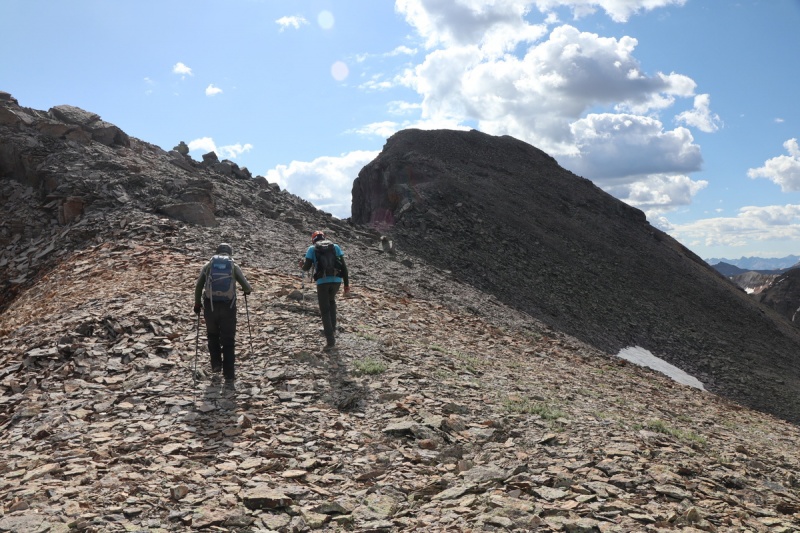
Eventually we had to leave the summit, so down we went, the way we came, plus some improvements. 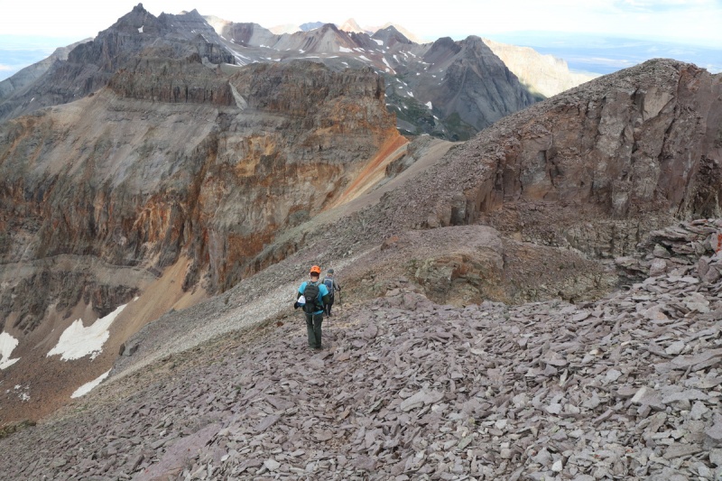
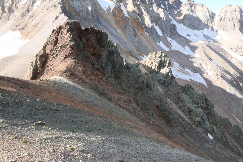
We went down the gully to the left/west side, where the trail is. We got to where we got up to it, and kept going. It was only a bit further left on the ridge, before we dropped back down to the traverse trail. It was much better than the ascent, though still horribly loose. 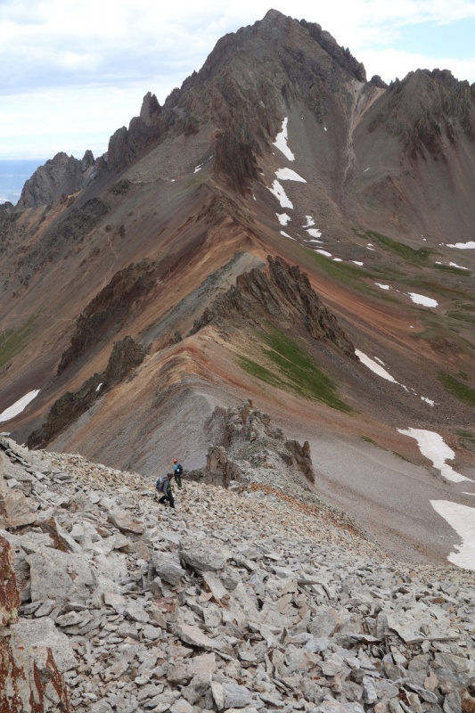
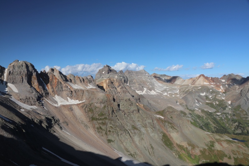
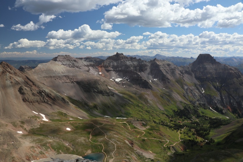
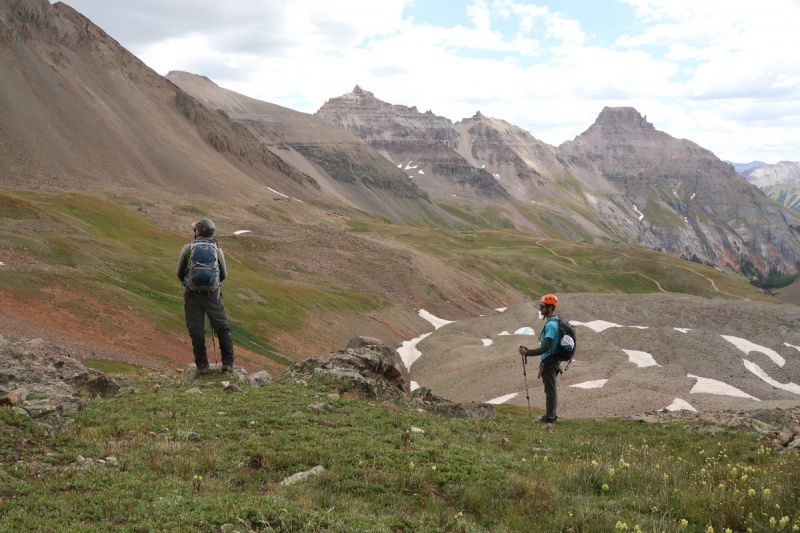
We got back to the saddle area above the grassy slope and took a little break. Gorgeous! 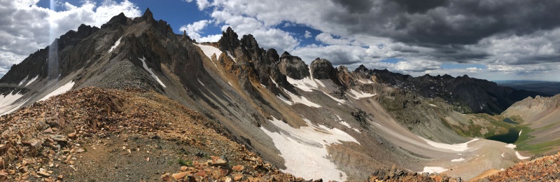

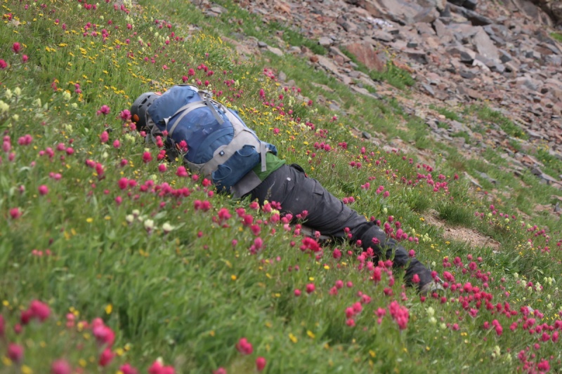
Dropping down the flowery grassy slope got a bit silly. But hey, wildflowers in Fall! 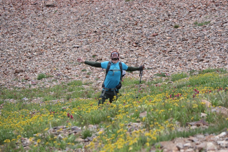

Below the flowers, we got to do some boot skiing for fun. Then we decided to traverse on the grass over to the trail from the lake. 
At the trailhead is a truly special map. I guess it's been a long time since my GIS class in college, but can you spot what's wrong with it? 
Thankfully we didn't meet too many people rolling down the 4WD road on a holiday weekend, because dang, it could have been bad! 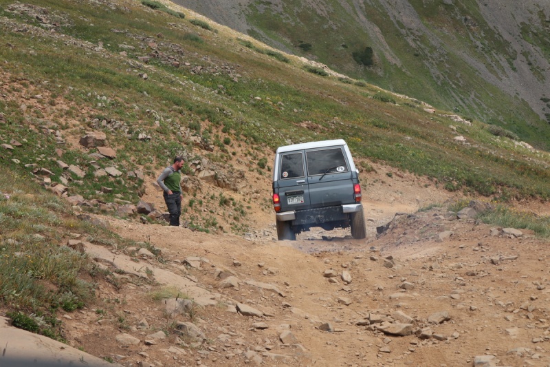
After surviving the drive down to our campsite, Tony decided to take the afternoon to run up Cirque, and Ryan went into town for ice. Some couple decided to join our campsite at 5am, waking most of us up (not me). They were still there hanging out, in our campsite on the return. They didn't even introduce themselves or ask permission, so I decided after vehicle shuffling with Ryan to break out my best carpool karaoke game. I don't think I even finished the second song before our unwelcomed guests decided that I was 'ruining their wilderness experience', and left. Pro tip: Don't join someone else's campsite without asking or being minimally social. My singing skills are ON POINT! After a bit of a campsite sponge bath in PRIVACY, I spotted that Tony had made the summit. So I grabbed my big lens to grab a few shots. Something tells me he didn't expect me to be taking shots.... 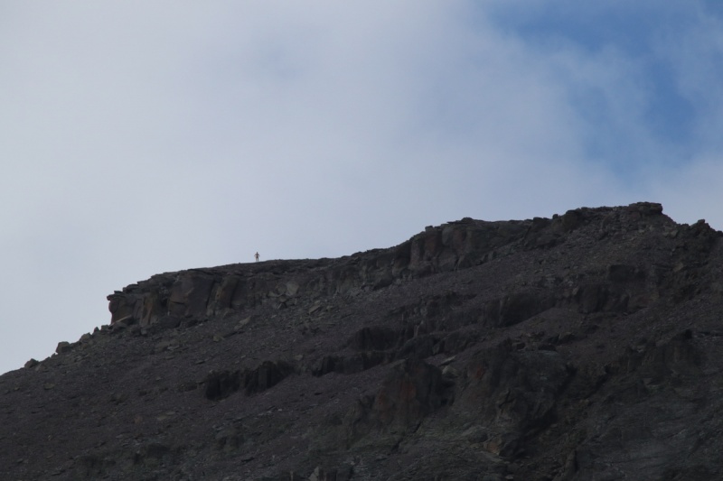
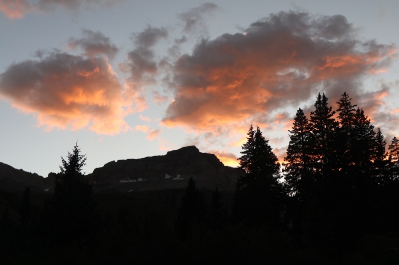
We had a great evening hanging out, as one might imagine with our 3 unique personalities. The laughs were flowing like beer/cider/P noir! Day 4: Mt Emma, Mendota Peak, T 5 Thumbnails for uploaded photos (click to open slideshow): ")
")
")
")
")
")
")
")
")
")
")
")
")
")
")
")
")
")
")
")
")
")
")
")
")
")
")
")
")
")
")
")
")
")
")
")
")
")
")
")
")
")
")
")
")
")
")
")
")
")
|
| Comments or Questions | ||||||
|---|---|---|---|---|---|---|
|
Caution: The information contained in this report may not be accurate and should not be the only resource used in preparation for your climb. Failure to have the necessary experience, physical conditioning, supplies or equipment can result in injury or death. 14ers.com and the author(s) of this report provide no warranties, either express or implied, that the information provided is accurate or reliable. By using the information provided, you agree to indemnify and hold harmless 14ers.com and the report author(s) with respect to any claims and demands against them, including any attorney fees and expenses. Please read the 14ers.com Safety and Disclaimer pages for more information.
Please respect private property: 14ers.com supports the rights of private landowners to determine how and by whom their land will be used. In Colorado, it is your responsibility to determine if land is private and to obtain the appropriate permission before entering the property.


