Download Agreement, Release, and Acknowledgement of Risk:
You (the person requesting this file download) fully understand mountain climbing ("Activity") involves risks and dangers of serious bodily injury, including permanent disability, paralysis, and death ("Risks") and you fully accept and assume all such risks and all responsibility for losses, costs, and damages you incur as a result of your participation in this Activity.
You acknowledge that information in the file you have chosen to download may not be accurate and may contain errors. You agree to assume all risks when using this information and agree to release and discharge 14ers.com, 14ers Inc. and the author(s) of such information (collectively, the "Released Parties").
You hereby discharge the Released Parties from all damages, actions, claims and liabilities of any nature, specifically including, but not limited to, damages, actions, claims and liabilities arising from or related to the negligence of the Released Parties. You further agree to indemnify, hold harmless and defend 14ers.com, 14ers Inc. and each of the other Released Parties from and against any loss, damage, liability and expense, including costs and attorney fees, incurred by 14ers.com, 14ers Inc. or any of the other Released Parties as a result of you using information provided on the 14ers.com or 14ers Inc. websites.
You have read this agreement, fully understand its terms and intend it to be a complete and unconditional release of all liability to the greatest extent allowed by law and agree that if any portion of this agreement is held to be invalid the balance, notwithstanding, shall continue in full force and effect.
By clicking "OK" you agree to these terms. If you DO NOT agree, click "Cancel"...
With the weather being less than ideal, my plan for a backpack into the Weminuche went out the window. So what's the next best plan in the San Juans? Hit up the 4x4 roads near Silverton for some 13er mini golf! Coordinated plans with the Finncutters and Valerie for part of the long weekend, packed up my truck with food and gear, and I was off on Wednesday for a quick ski and the long drive to Silverton and Cinnamon Pass.
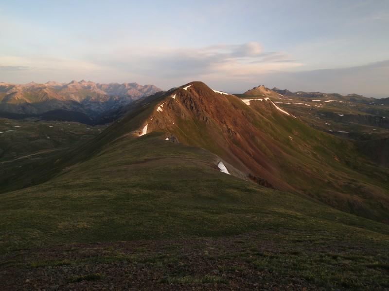
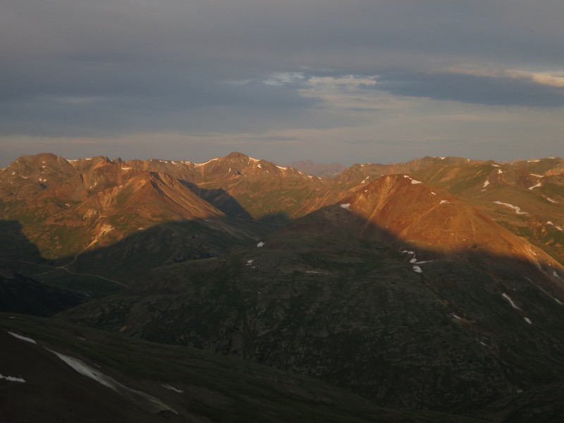
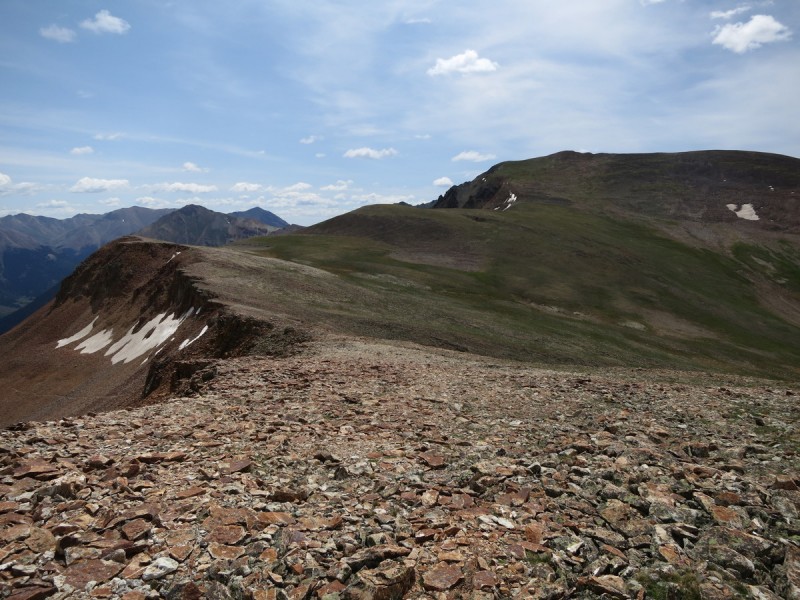
On the "trail" at 4am, heading north along the pass/ridge line until I come across a convenient mining road that heads to a saddle with Wood Mtn that avoids some ridge annoyances. Got to the summit around 5am, greeted by first light on the surrounding peaks. Looks like sunrise will be pretty in a little while! I had originally thought to add on Pt 13,688 later in the day, but on my way to Pt 13,709 I was greeted to the sounds of a waterfall of rocks that came from somewhere along the ridge. Spooky. So I kept on walking on the nice talus ridge to the next point.
First light behind Wetterhorn and Uncompahgre Looking over to Pt 13,688 Sunrise behind ridge to Pt 13,688 Rosey skies to the south
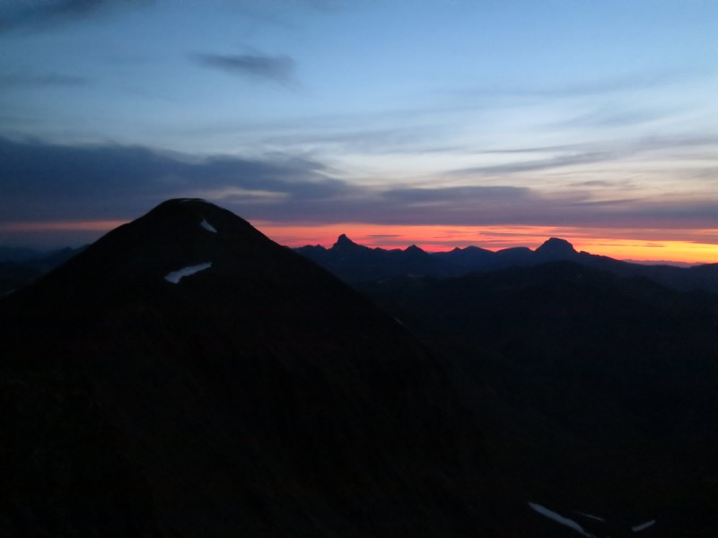
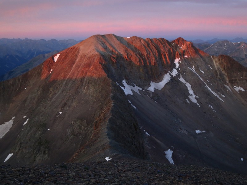
I arrive on the summit of the unranked Pt 13,709 for a beautiful sunrise. It's mornings like these in the mountains, that I know why I do this. The beauty and peace that surrounds me is amazing! A small bit of quiet and calm in a chaotic and crazy world.
With the nature of the peaks and the chosen route, I would have to summit/skirt this unranked peak 3 times...
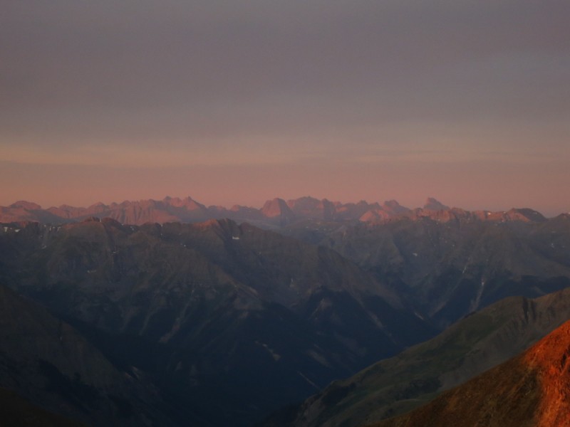
Sunrise #1 behind Pt 13,688 First light on Animas Forks Mountain Summit of Pt 13,709 Day #1 view of Grenadiers
It was a quick stroll over to Seigal Mountain on a faint but consistent trail, where I got a nice view of the road into California Gulch and the peaks for the next day.
Seigal Mountain Hanson, California, Hurricane, Houghton and Tuttle, peaks for Friday
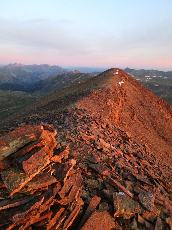
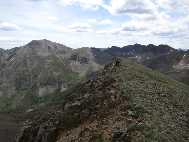
The ridge over to Animas Forks Mountain looked like it could be interesting, but it never exceeded class 2+
Ridge to Animas Forks Mountain Pano of route on north side of pass
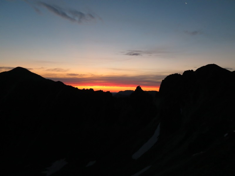
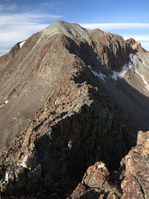
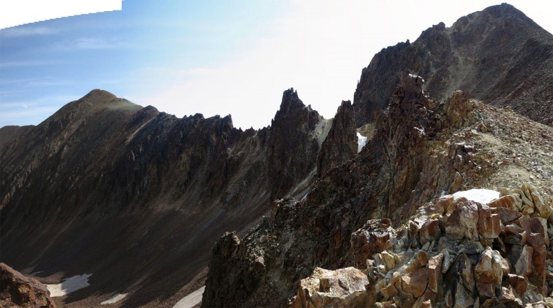
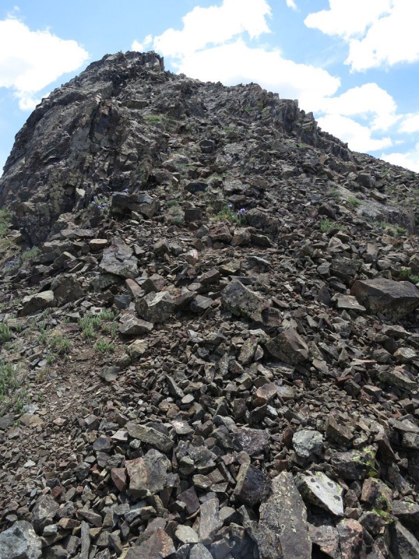
On my return to the saddle with Wood Mtn, I noticed that there was a talus trail just to the south of the ridge proper for the entirely of the ridge. So you can either take that or the ridge line, both go. At the saddle I had a look at the ridge to Pt 13,688 in full daylight. While Furthermore may have done this, I wasn't quite comfortable today, and figured it would be better from the Matterhorn side anyway. After the rockfall concert I got at day break, I didn't want to mess with loose rock and exposure solo.
Ridge to Pt 13,688
I decided to drop from the saddle to an old mining road below, that would take me back to the pass, and the other two peaks for the day.
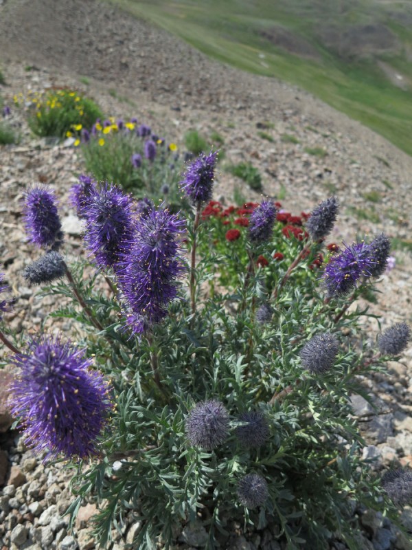
Some pretty flowers to brighten my day
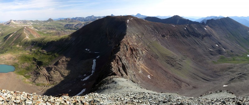
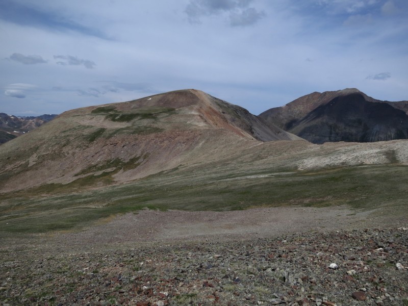
The route up Cinnamon Mountain follows a decent talus trail to the ridge. Once above the talus, it will be tundra walking for all but the summits themselves. So nice on the feet at the end of the day!
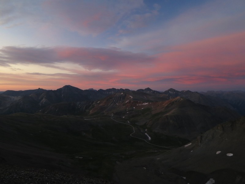
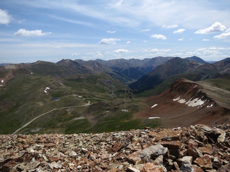
Cinnamon Mountain from pass Looking at Cinnamon Pass, from Cinnamon Mountain Tundra walk to next peak Looking back at Cinnamon Ridge up to Pt 13,535 - had hoped it was scrambly, but nope Handies from Pt 13,535 - looks quite different than the last time I was here in April!
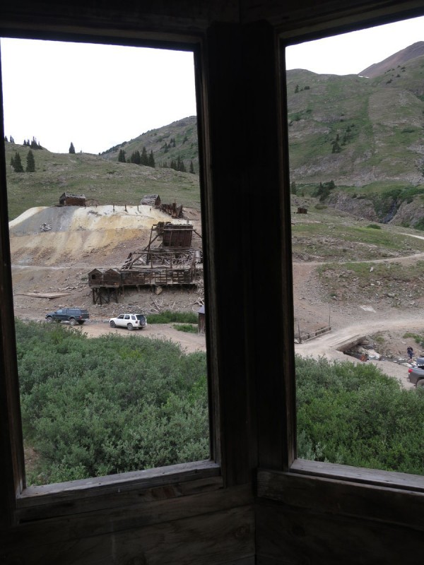
Once back at my truck, I drive back down the very empty west side of Cinnamon Pass and to the Animas Forks townsite for some lunch and a stroll around the ruins in my flip flops. There I found all the 4x4'ers gearing up for their day of driving around. Glad I got over the couple of rocky narrow sections before the traffic!
That traverse is garbage to 13,688. I came from Hurricane Basin for 13,688, climbed to the Woods-13,688 saddle and then up. I remember scary, chossy and hard terrain.
On that ridge. We did Woods from Cinnamon Pass, then dropped down a bit between Woods and 13,708, and climbed up to 13,688 via a really chossy, crappy Class 3/4 gully separating the two, and then over to Gravel, descended down to Hurricane Basin and climbed back up to the saddle between Woods and 13,708. Rained from the basin all the way back to camp below Cinnamon Pass. Brings back memories ... thanks for posting. Happy trails! :D
Natalie & Jay521 - How can I go wrong with sunrise + SJ's?
anasarca76 - I had a wonderful day! There are tons of peaks to explore down there, and the majority have great views!
Furthermore - I didn't remember how you combined those peaks, but when I was up there, I figured that it may not have been easy!
Presto - I thought about doing what you did, then thought better of it. With the weather, I knew I had only a couple hours left, and I didn't think wasting it on choss was going to a fun plan!
Looks like a beautiful area. You can't go wrong - it is the San Juans!
Caution: The information contained in this report may not be accurate and should not be the only resource used in preparation for your climb. Failure to have the necessary experience, physical conditioning, supplies or equipment can result in injury or death. 14ers.com and the author(s) of this report provide no warranties, either express or implied, that the information provided is accurate or reliable. By using the information provided, you agree to indemnify and hold harmless 14ers.com and the report author(s) with respect to any claims and demands against them, including any attorney fees and expenses. Please read the 14ers.com Safety and Disclaimer pages for more information.
Please respect private property: 14ers.com supports the rights of private landowners to determine how and by whom their land will be used. In Colorado, it is your responsibility to determine if land is private and to obtain the appropriate permission before entering the property.
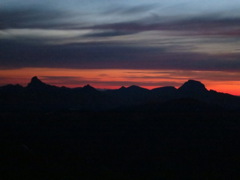
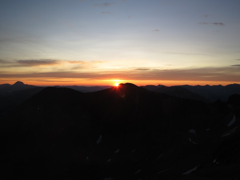

 First light behind Wetterhorn and Uncompahgre")
 Looking over to Pt 13,688")
 Sunrise behind ridge to Pt 13,688")
 Rosey skies to the south")
 Sunrise #1 behind Pt 13,688")
 First light on Animas Forks Mountain")
 Summit of Pt 13,709")
 Day #1 view of Grenadiers")
 Seigal Mountain")
 Hanson, California, Hurricane, Houghton and Tuttle, peaks for Friday")
 Pano of route on north side of pass")
 Ridge to Pt 13,688")
 Some pretty flowers to brighten my day")
 Cinnamon Mountain from pass")
 Looking at Cinnamon Pass, from Cinnamon Mountain")
 Tundra walk to next peak")
 Looking back at Cinnamon")
 Ridge up to Pt 13,535 - had hoped it was scrambly, but nope")
 Handies from Pt 13,535 - looks quite different than the last time I was here in April!")
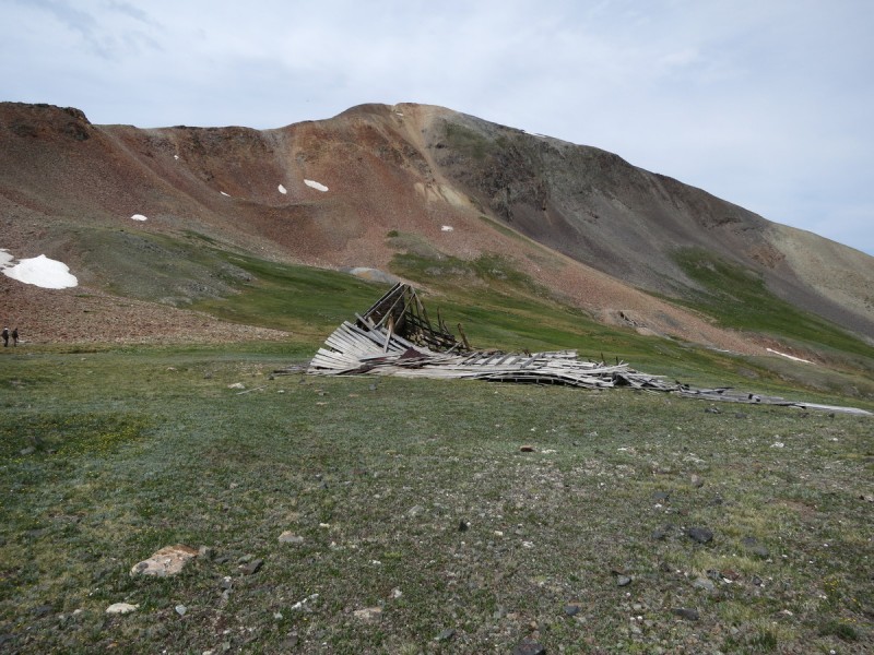
 Animas Forks townsite")
 Animas Forks Mill")
 Ridge to Animas Forks Mountain")


