Taken from the Cottonwood Pass (306) road,
1 shows the upper route. From the trailhead, follow the broad trail heading north into the forest. After about 1 mile, cross the Denny Creek stream on a log bridge
. After approximately 1.3 miles, reach the Hartenstein Lake/Mt. Yale trail junction
and turn right
2. Continue weaving through the forest, eventually paralleling the stream in Delaney Gulch.
Near 11,200', cross the Delaney Gulch stream on a log bridge
3. After passing some small meadows, the trail climbs steeply, first heading north and then east up a hillside
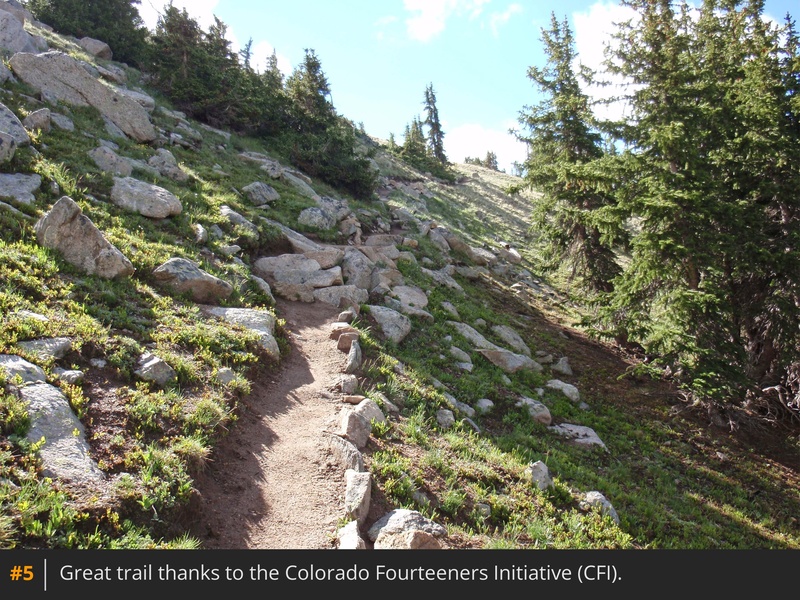
4 5. Above 12,100', the trail leaves the trees and ascends through rocky terrain as you approach a shoulder
6 7. Once on the shoulder, head northeast toward Yale's upper west slopes
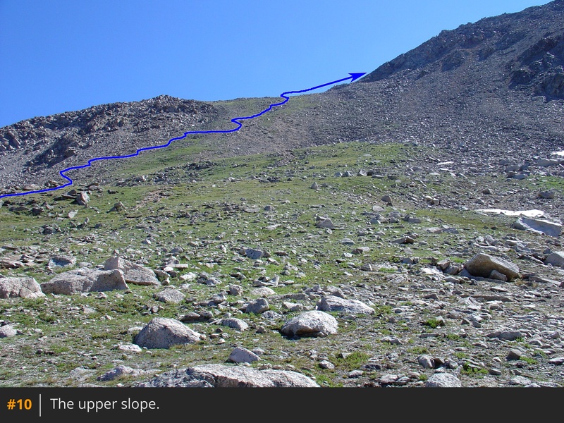
8 9 10. Near 13,200', the slope steepens significantly
11. Push through 750 feet of elevation gain to reach 13,950' at a saddle
on Yale's northwest ridge.
Turn right and approach the base of the rugged summit ridge
12. Follow the cairned, Class 2, boulder-hopping route along the west (right) side of the ridge crest, or scramble along the crest itself to increase the difficulty to Easy Class 3
13 14. Continue to the spacious summit
15 16 17.







 GPX
GPX KML
KML