| Report Type | Full |
| Peak(s) |
El Diente Peak - 14,175 feet |
| Date Posted | 07/24/2010 |
| Date Climbed | 07/22/2010 |
| Author | Bobo |
| A gloomy day on El Diente |
|---|
|
A Gloomy Day on El Diente (no summit) El Diente (attempt) from Woods Lake trailhead. RT Distance: 14 miles. RT Elevation Gain: ~4600 ft. Despite not summiting, I had a great day out, so thought I'd post a report... Lesson: if you want the peak to yourself, go when the weather is lousy! I arrived at the Woods Lake trailhead around 11:30 pm, and slept in the back of my 4runner. Despite the forecast, the sky was clear and I was hoping the forecast was wrong for the next day. The alarm was set for 4:15 am, but I awoke earlier to the sound of rain. When the alarm went off, I decided to go back to sleep hoping the rain would stop. Around 7:30, I heard something, or rather I heard nothing...the rain had stopped. I had a quick breakfast, geared up and was off at around 8:00 (three hours late, but in light drizzle, not heavy rain). This was my backup plan in case of bad weather...go for a hike...so in one sense this was a success. The trail from Woods Lake climbs steadily through thick forest. Occasional meadows were full of wildflowers. 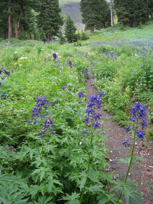 Occasional views towards Dolores Peak gave some idea of the weather. I kept telling myself that I'd turn around at the first rumble of thunder (more on this later). 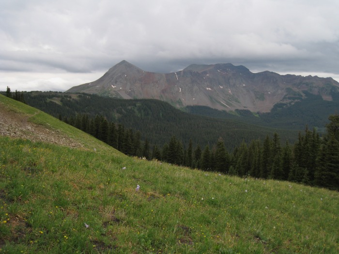 True to form, as I rounded the shoulder below pt. 13,123 towards Navajo Lake, El Diente came into review. The weather hadn't improved...but hadn't gotten any worse either. No rumbles of thunder yet. 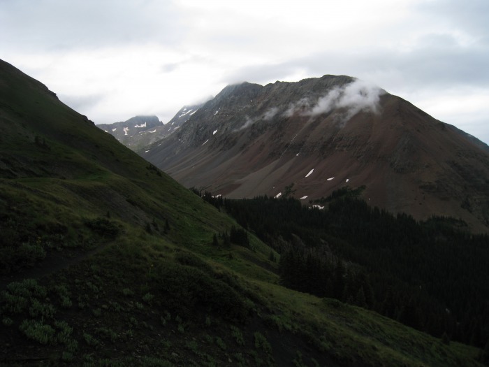 I took a little break above the lake, still no thunder. 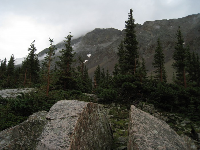 From the upper basin, looking up at the route (the clouds were darker than they appear in the photo), still no thunder. 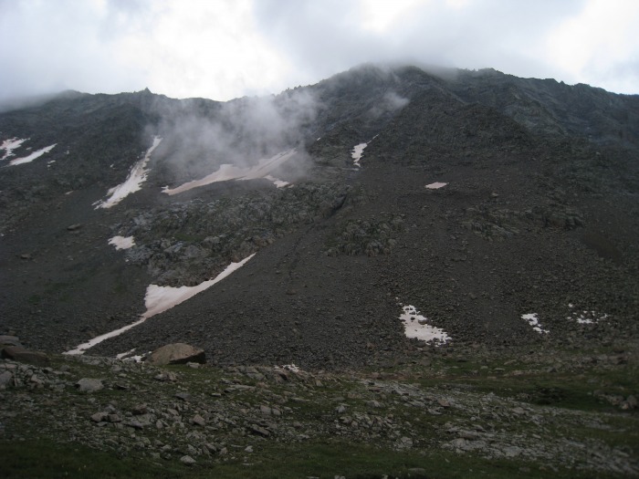 From just below the snowfield...Gladstone (sort-of).  Rock of Ages Saddle where are you? 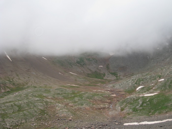 Looking down the basin at Pt. 13,123. Still no thunder. 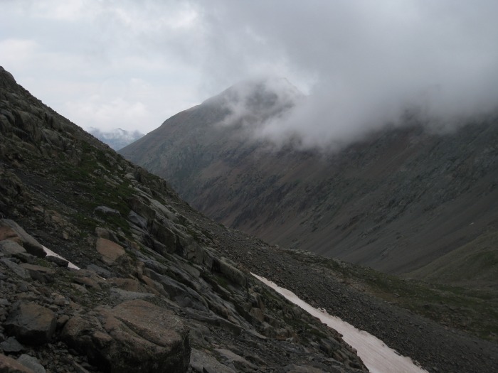 I changed trekking poles for my ice axe and instantly regretted not having my crampons, then started up the snowfield. At the point where the snowfield starts to narrow, I looked back and saw the cloud level appeared lower and blacker looking on Wilson Peak than it was earlier (even though I could now see the Rock of Ages Saddle). Still no thunder, but I had already been thinking that now I'm way above the point where the first peal of thunder is adequate warning to retreat. I was just above 13,000ft, and it was time to give in for the day. I knew I'd be pissed if it cleared up, but once the decision was made, that was it. I cautiously glissaded the snowfield, and trudged back to Woods lake, taking a few parting and wildflower shots along the way. Sure enough, it cleared up :-( 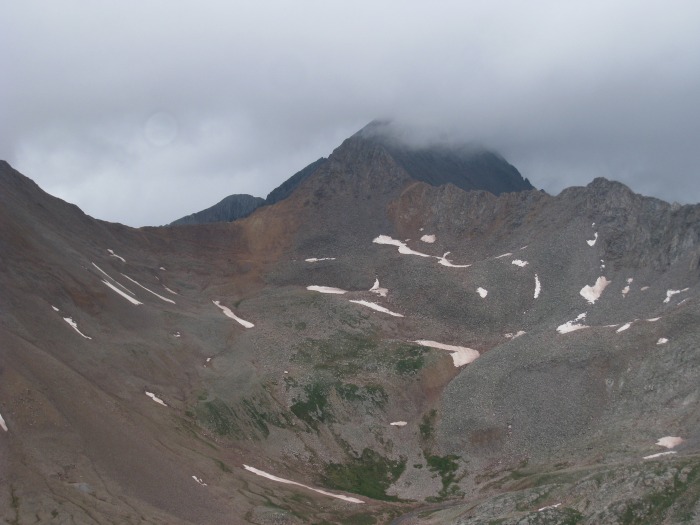 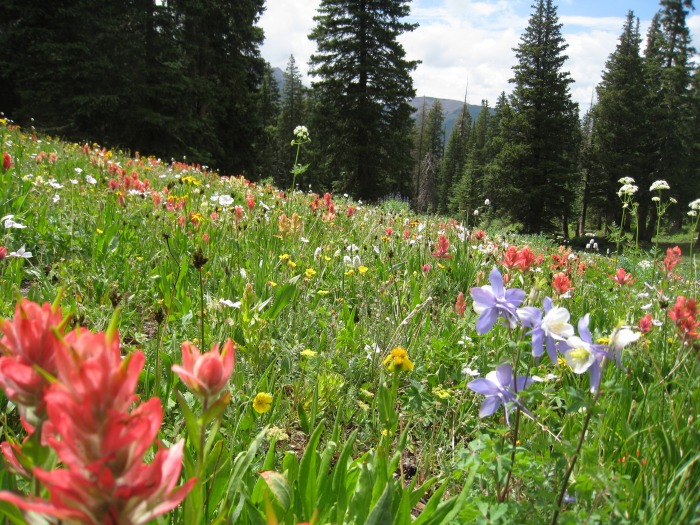 I'll be back! Thumbnails for uploaded photos (click to open slideshow):
|
| Comments or Questions |
|---|
|
|
Caution: The information contained in this report may not be accurate and should not be the only resource used in preparation for your climb. Failure to have the necessary experience, physical conditioning, supplies or equipment can result in injury or death. 14ers.com and the author(s) of this report provide no warranties, either express or implied, that the information provided is accurate or reliable. By using the information provided, you agree to indemnify and hold harmless 14ers.com and the report author(s) with respect to any claims and demands against them, including any attorney fees and expenses. Please read the 14ers.com Safety and Disclaimer pages for more information.
Please respect private property: 14ers.com supports the rights of private landowners to determine how and by whom their land will be used. In Colorado, it is your responsibility to determine if land is private and to obtain the appropriate permission before entering the property.

