Download Agreement, Release, and Acknowledgement of Risk:
You (the person requesting this file download) fully understand mountain climbing ("Activity") involves risks and dangers of serious bodily injury, including permanent disability, paralysis, and death ("Risks") and you fully accept and assume all such risks and all responsibility for losses, costs, and damages you incur as a result of your participation in this Activity.
You acknowledge that information in the file you have chosen to download may not be accurate and may contain errors. You agree to assume all risks when using this information and agree to release and discharge 14ers.com, 14ers Inc. and the author(s) of such information (collectively, the "Released Parties").
You hereby discharge the Released Parties from all damages, actions, claims and liabilities of any nature, specifically including, but not limited to, damages, actions, claims and liabilities arising from or related to the negligence of the Released Parties. You further agree to indemnify, hold harmless and defend 14ers.com, 14ers Inc. and each of the other Released Parties from and against any loss, damage, liability and expense, including costs and attorney fees, incurred by 14ers.com, 14ers Inc. or any of the other Released Parties as a result of you using information provided on the 14ers.com or 14ers Inc. websites.
You have read this agreement, fully understand its terms and intend it to be a complete and unconditional release of all liability to the greatest extent allowed by law and agree that if any portion of this agreement is held to be invalid the balance, notwithstanding, shall continue in full force and effect.
By clicking "OK" you agree to these terms. If you DO NOT agree, click "Cancel"...
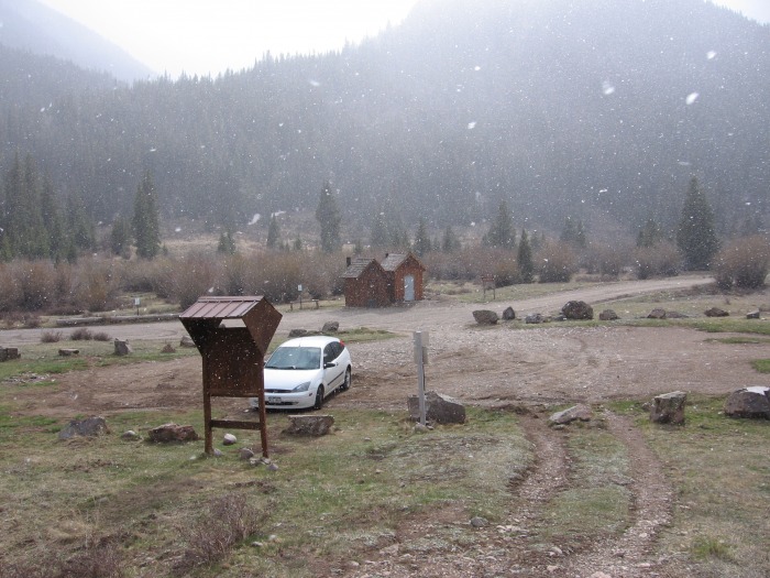
The weather looked as if it would finally cooperate with our climbing and skiing/snowboarding plans, so I drove down to Lake City on Wednesday night to set up camp near the Redcloud/Sunshine trail head. It's not necessary to hike in and set up a base camp for these 14ers, but with the recent string of trail head vehicle break-ins and vandalism, I decided to hike in for a mile or so with all of my gear. As I left the trail head, a cloud moved in and started dumping snow.
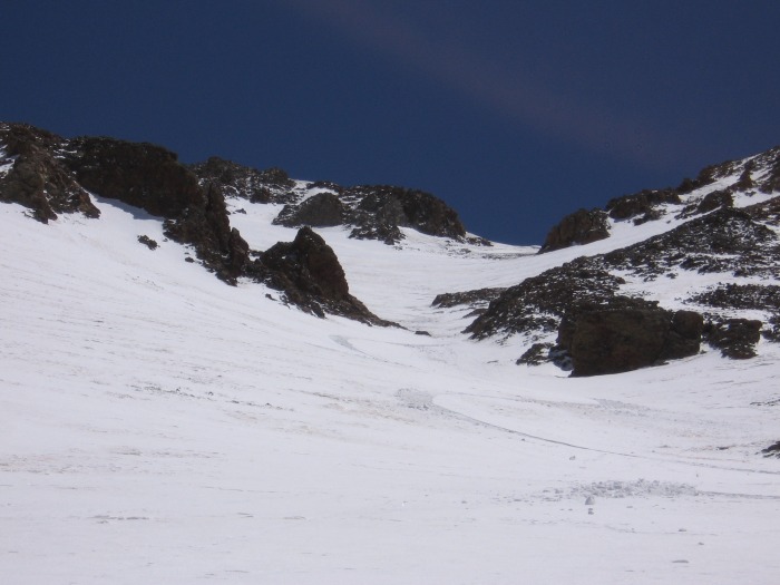
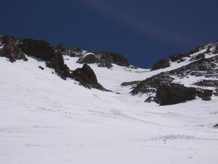
I was having visions of spring powder! But it was not meant to be, as the snow quickly subsided, giving way to beautiful blue skies. After hiking for about 3/4 mile, I spotted some excellent lines on the Northwest Face of Point 13432. I decided to set up camp immediately and try to end the next day with a descent of this face and gully:
Day 1
The next morning, I got a late start, barely leaving camp by sunrise. This would turn out to be a common theme for the whole trip. The trail was completely dry, and the snow didn't start until just above treeline. I finally started skinning at around 12,400', and made it all the way up to about 13,800' before it got too steep. I started kicking steps, and was on the summit in no time. My new mountaineering boots work wonders! SO much easier than kicking steps with snowboard boots!
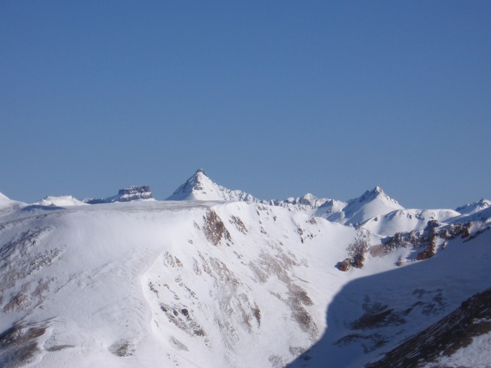
First views of Wetterhorn, Matterhorn, and Uncompahgre:
Sunshine from the Redcloud summit:
I was beginning to realize that the best snow on Redcloud was what I had just climbed on the north face. The east face also looked really nice. Unfortunately, neither of these lines fit into my plans, since I needed to head south towards Sunshine Peak, and then west to Point 13,432, and back to camp. So just before 8 AM, I strapped on my snowboard and headed south off the summit along the ridge towards Sunshine. At the first low point of the ridge, I took a left and dropped a small cornice into an east facing bowl. I made about 500 vertical feet of some excellent corn turns:
It was incredibly tempting to ride the line all the way to the valley floor, but I managed to lay off, and started boot packing back up towards the ridge. It soon became apparent that the east side of Sunshine also held the best snow. The west face was mostly wind scoured and bare. Here is a shot of Sunshine Peak's north ridge and east face from where I re-gained the ridge:
I summited Sunshine at about 10:30, and snowboarded back down the north ridge a ways. Then the board went back on my pack for a traverse/downclimb to the small amount of snow on the west face. I was then able to snowboard almost all the way to the low point of the ridge connecting Sunshine and Point 13,432. My tracks on the West Face can be faintly seen in the center of this picture:
The ridge over to Point 13,432 was a little harrier than I had expected:
I decided to give it a try, with the option of bailing out to the South Fork drainage if necessary. The new boots again made quick work of the steep snow, and the cornice was pretty easy to avoid. In no time, I was standing on the summit, looking right down my line towards camp:
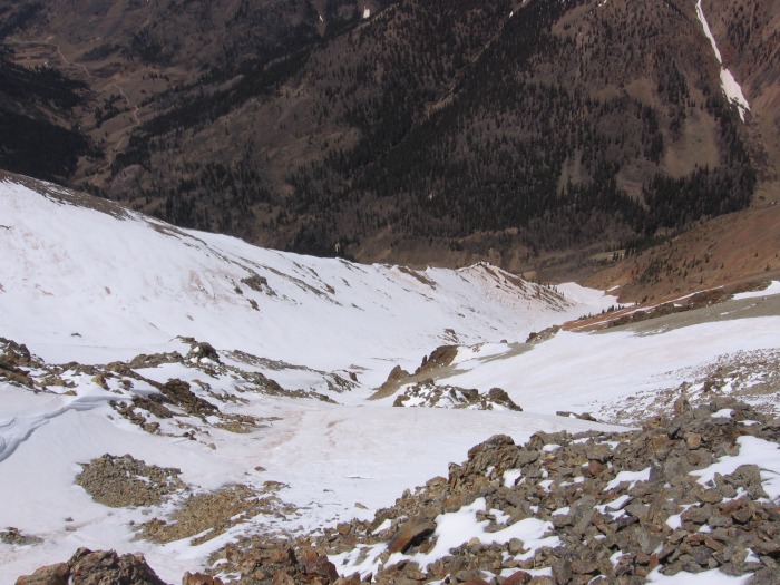
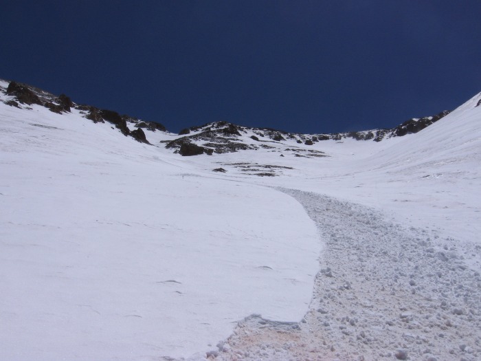
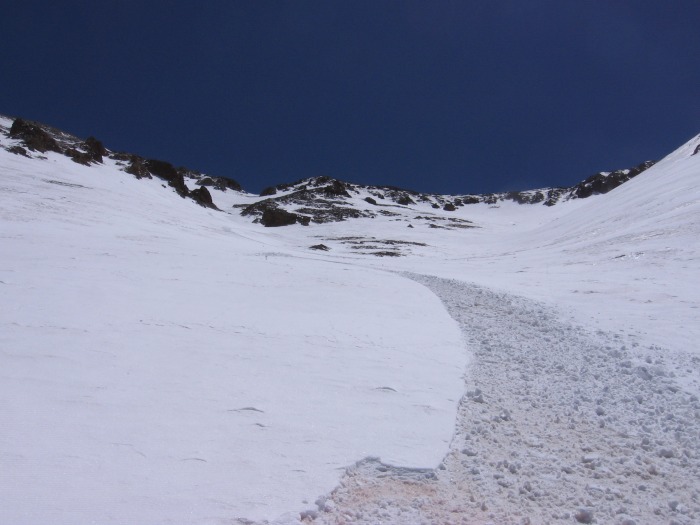
I dropped in and made some of the best turns of the whole trip! The only turns that came close were those on the south face of Matterhorn. More about that one later... The snow in the gully was continuous all the way down to about 11,100', and in no time, I was looking for a way to cross Silver Creek to get back to camp. Looking back up the line:
I made it back to Lake City and hung out at the bar for about 6 hours while I waited for Ryan and Emily to drive from Golden to meet me for Wetterhorn, Matterhorn, and Uncompahgre.
Continue to Part 2 for Wetterhorn, Matterhorn, and Uncompahgre
Thumbnails for uploaded photos (click to open slideshow):
Comments or Questions
Caution: The information contained in this report may not be accurate and should not be the only resource used in preparation for your climb. Failure to have the necessary experience, physical conditioning, supplies or equipment can result in injury or death. 14ers.com and the author(s) of this report provide no warranties, either express or implied, that the information provided is accurate or reliable. By using the information provided, you agree to indemnify and hold harmless 14ers.com and the report author(s) with respect to any claims and demands against them, including any attorney fees and expenses. Please read the 14ers.com Safety and Disclaimer pages for more information.
Copyright: Route information, text, risk factors, maps, GPX files, charts, photos, 14ers.com-created map imagery, flythroughs, and other content provided in this route description are copyrighted by 14ers.com and may not be copied, reproduced, republished, distributed, modified, or used to create derivative works without prior written permission.
Please respect private property: 14ers.com supports the rights of private landowners to determine how and by whom their land will be used. In Colorado, it is your responsibility to determine if land is private and to obtain the appropriate permission before entering the property.